 Block
Providence, Indiana
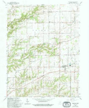
21 topographic sheets cover this place, the earliest surveyed in 1942 and the latest in 1986. It stands in Union Township. It lies in ZIP code area 46106. It lies near Turkey Hill. The Survey maps it on the Trafalgar quadrangle. It stands 840 feet above sea level.
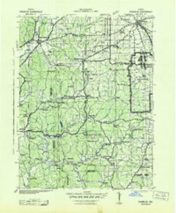
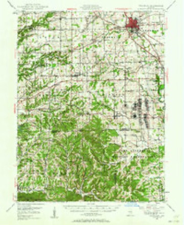
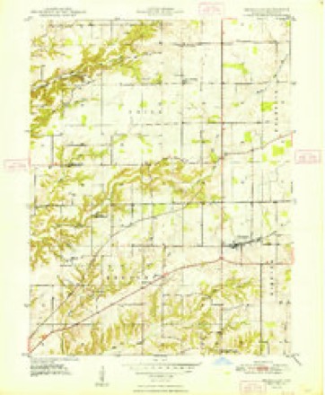
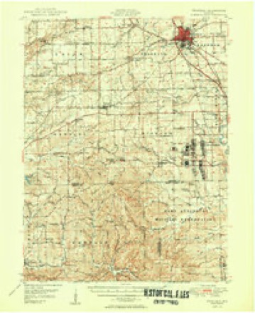
Topographic sheets covering this place
10 surveys from 21 printed sheetsMatched by testing this settlement's coordinate against the published boundary of every sheet in the United States Geological Survey's historical collection. Each opens the scanned sheet at the Survey.
- 1942 USGS Franklin quadrangle1:125000
- 1947 USGS Franklin quadrangle1:62500
- 1948 USGS Trafalgar quadrangle1:24000, 2 printings
- 1950 USGS Franklin quadrangle1:62500, 2 printings
- 1953 USGS Indianapolis quadrangle1:250000, 4 printings
- 1956 USGS Indianapolis quadrangle1:250000
- 1957 USGS Indianapolis quadrangle1:250000, 2 printings
- 1962 USGS Indianapolis quadrangle1:250000
- 1965 USGS Trafalgar quadrangle1:24000, 4 printings
- 1986 USGS Bloomington quadrangle1:100000, 3 printings





In the county-history sources
6,020 words on this townshipA Historical Sketch of Johnson County, Indiana, published 1881 names this settlement in its chapter on Union Township. These are the passages that mention it, exactly as the scans read.
Rock Lick was a famous resort for deer during the early times. There was not probably in all the county a deer lick that equaled it. For miles and miles in every direction, run-ways led to it. Jesse Young, who had settled on the Nineveh in 1825, and who was much of a hunter, visited this place, and was so impressed with the enormous mast crops produced by the groves of white oak timber growing thereabout, that he determined to make his home in the neighborhood. Accordingly, some time before he moved, he drove his hogs to the oak forests, and built a camp not far from the lick. Here he hunted, tended his hogs and read his Bible and Young's Night Thoughts. With these two books he was quite familiar, and in his old age it was his habit to interlard his discourse with apt quotations, especially from the last-named work.
Passage source: A Historical Sketch of Johnson County, Indiana, published 1881.
Machine-read from a century-old scan, so expect the errors a machine makes: misspelled names, dropped words, stray characters.
Nearest settlements
The eight closest, with where each one stands in the county. Distances are straight-line, computed from the Geographic Names Information System coordinates.
| Map | Place | Distance | Sheets |
|---|---|---|---|
| Bargersville | 2.1 miles | 16 | |
| Old Bargersville | 2.1 miles | 16 | |
| Bud | 3.0 miles | 21 | |
| Hopewell | 3.2 miles | 23 | |
| Mount Pleasant | 3.7 miles | 23 | |
| Kinder | 3.8 miles | 16 | |
| Al-Mar | 4.0 miles | 16 | |
| Anita | 4.6 miles | 21 |
Elsewhere
Matched on this settlement's Geographic Names Information System number rather than its name, so it cannot be a different place of the same name in another state.
| Wikipedia article on Providence | An encyclopaedic summary. Its text is share-alike, so it is linked here rather than copied. |
| Wikidata item Q7252359 | The structured record the population and elevation above come from. Public domain (CC0). |
Provenance
This settlement is recorded in the Geographic Names Information System as feature 441616. The sheet list is computed by point-in-boundary test against the United States Geological Survey's historical topographic inventory. Both are works of the United States government and carry no copyright under 17 U.S.C. 105.