 Block
Smith Valley, Indiana
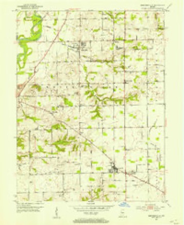
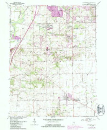
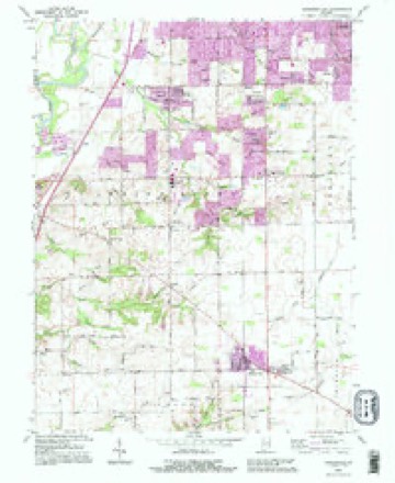
16 topographic sheets cover this place, the earliest surveyed in 1952 and the latest in 1992. It stands in White River Township. It lies in ZIP code area 46142. It stands on Smith Run. The Survey maps it on the Bargersville quadrangle. It stands 699 feet above sea level.
Topographic sheets covering this place
8 surveys from 16 printed sheetsMatched by testing this settlement's coordinate against the published boundary of every sheet in the United States Geological Survey's historical collection. Each opens the scanned sheet at the Survey.
- 1952 USGS Bargersville quadrangle1:24000
- 1953 USGS Indianapolis quadrangle1:250000, 4 printings
- 1956 USGS Indianapolis quadrangle1:250000
- 1957 USGS Indianapolis quadrangle1:250000, 2 printings
- 1962 USGS Bargersville quadrangle1:24000, 4 printings
- 1962 USGS Indianapolis quadrangle1:250000
- 1986 USGS Indianapolis quadrangle1:100000, 2 printings
- 1992 USGS Bargersville quadrangle1:24000





In the county-history sources
25,754 words on this townshipA Historical Sketch of Johnson County, Indiana, published 1881; History of Johnson County, Indiana : from the Earliest Time to the Present, with Biographical Sketches, Notes, Etc. Together with a Short History of the Northwest, the Indiana Territory, and the State of Indiana, published 1888 has no passage naming this settlement, which was common for smaller places. Its township is covered in full.
The chapter on White River Township covers the township.
Read the chapter on White River Township - 25,754 words.
Mines and quarries near this place
4 within 5 milesRegional context, not property-specific evidence. The federal mineral resources record lists 4 workings within 5 miles of Smith Valley: 2 producers, 1 past producer, 1 unknown. 2 still produce. What was taken out: Sand and Gravel, Construction. Distance is straight-line from the map coordinates, so a quarry counted here may appear on a neighbouring settlement's page as well.
| Where | Site | Commodity | Status | Recorded |
|---|---|---|---|---|
| Central Aggregates Pit | Sand and Gravel, Construction | Producer | ||
| Central Aggregates Pit | Sand and Gravel, Construction | Producer | ||
| Kelsay & York Gravel Pit | Sand and Gravel, Construction | Unknown | ||
| Port Royal Pit | Sand and Gravel, Construction | Past Producer |
Storms near this place
14 since 1993Regional context, not property-specific evidence. The National Weather Service names Smith Valley in 14 storm reports between 1993 and 2026: 8 thunderstorm wind, 5 hail, 1 flash flood. No death or injury is recorded in these reports. Each account below is quoted exactly as the forecast office filed it, from the NOAA Storm Events Database, and each date opens the federal record of that event.
| When | Event | Place named | Harm | What the report says |
|---|---|---|---|---|
| June 2023 | Thunderstorm Wind | Smith Valley | $150,000 | Numerous trees and powerlines downed by thunderstorm wind gusts across the county. Over 7500 power outages caused by the storm. |
| July 2015 | Flash Flood | Smith Valley | $50,000 | Honey Creek was overflowing at Paddock Road due to heavy thunderstorm rainfall. One car was abandoned because of the rising water. Water was filling yards and starting to flow over the road south of the bridge. The worst of the flooding is just north of the bridge to approximately Smith Valley Road. |
| April 2020 | Thunderstorm Wind | Smith Valley | $10,000 | Part of roof blown off of house due to thunderstorm wind gusts near County Road 850 N and South Paddock Road. |
| January 2013 | Thunderstorm Wind | Smith Valley | $4,000 | A few trees and part of a fence were downed near the intersection of Fairview and Morgantown Roads due to damaging thunderstorm wind gusts. |
| January 2012 | Thunderstorm Wind | Smith Valley | $4,000 | Siding was removed from the south side of a home in a neighborhood off of Smith Valley Road due to damaging thunderstorm wind gusts. |
| March 1998 | Thunderstorm Wind | Smith Valley | $1,500 | Thunderstorm winds blew down trees and power lines. |
| November 2017 | Thunderstorm Wind | Smith Valley | $1,000 | A tree, about one foot in diameter, was snapped at the base due to damaging thunderstorm wind gusts. |
| April 2016 | Hail | Smith Valley | - | Quarter sized hail was reported near Center Grove High School via Twitter. |
| May 2012 | Thunderstorm Wind | Smith Valley | - | A measured 59 mph thunderstorm wind gust was observed in this location. |
| July 2012 | Hail | Smith Valley | - | Nickel sized hail was observed near State Road 37 and Smith Valley Road. |
| February 2026 | Hail | Smith Valley | - | no account filed |
| April 2016 | Hail | Smith Valley | - | no account filed |
| June 2015 | Hail | Smith Valley | - | no account filed |
| May 1993 | Thunderstorm Wind | Smith Valley | - | no account filed |
Nearest settlements
The eight closest, with where each one stands in the county. Distances are straight-line, computed from the Geographic Names Information System coordinates.
| Map | Place | Distance | Sheets |
|---|---|---|---|
| Brentwood | 0.8 miles | 16 | |
| Pebble Run | 1.1 miles | 16 | |
| Foxberry Trace | 1.1 miles | 16 | |
| Auburn Trace | 1.1 miles | 16 | |
| Brockton Manor | 1.2 miles | 16 | |
| Bluff Acres | 1.2 miles | 16 | |
| Pebble Hills | 1.3 miles | 16 | |
| Brentridge | 1.5 miles | 16 |
Elsewhere
Matched on this settlement's Geographic Names Information System number rather than its name, so it cannot be a different place of the same name in another state.
| Wikipedia article on Smith Valley | An encyclopaedic summary. Its text is share-alike, so it is linked here rather than copied. |
| Wikidata item Q7545350 | The structured record the population and elevation above come from. Public domain (CC0). |
Provenance
This settlement is recorded in the Geographic Names Information System as feature 449732. The sheet list is computed by point-in-boundary test against the United States Geological Survey's historical topographic inventory. Both are works of the United States government and carry no copyright under 17 U.S.C. 105.
Mines and quarries. USGS Mineral Resources Data System (MRDS) https://mrdata.usgs.gov/mrds/ A work of the United States government, no copyright under 17 U.S.C. 105.
Storms. NOAA National Centers for Environmental Information, Storm Events Database https://www.ncei.noaa.gov/stormevents/ A work of the United States government, no copyright under 17 U.S.C. 105. Narratives are quoted verbatim from the National Weather Service report and are not edited or summarised.