 Block
Smithson, Indiana
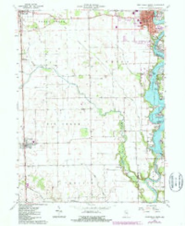
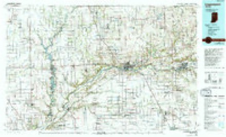
9 topographic sheets cover this place, the earliest surveyed in 1953 and the latest in 1985. It stands in Big Creek Township. It lies in ZIP code area 47980. The Survey maps it on the Monticello South quadrangle.
Topographic sheets covering this place
5 surveys from 9 printed sheetsMatched by testing this settlement's coordinate against the published boundary of every sheet in the United States Geological Survey's historical collection. Each opens the scanned sheet at the Survey.
- 1953 USGS Danville quadrangle1:250000, 3 printings
- 1955 USGS Danville quadrangle1:250000
- 1956 USGS Danville quadrangle1:250000
- 1962 USGS Monticello South quadrangle1:24000, 2 printings
- 1985 USGS Logansport quadrangle1:100000, 2 printings



Mines and quarries near this place
1 within 5 milesRegional context, not property-specific evidence. The federal mineral resources record lists 1 working within 5 miles of Smithson: 1 producer. All of them still produce. What was taken out: Stone. Distance is straight-line from the map coordinates, so a quarry counted here may appear on a neighbouring settlement's page as well.
| Where | Site | Commodity | Status | Recorded |
|---|---|---|---|---|
| White Co. Hwy. Dept. | Stone | Producer |
Storms near this place
3 since 2013Regional context, not property-specific evidence. The National Weather Service names Smithson in 3 storm reports between 2013 and 2023: 3 tornado. No death or injury is recorded in these reports. Each account below is quoted exactly as the forecast office filed it, from the NOAA Storm Events Database, and each date opens the federal record of that event.
| When | Event | Place named | Harm | What the report says |
|---|---|---|---|---|
| March 2023 | Tornado (EF0) | Smithson | - | A tornado touched down in an open field south of West Smithson Road|and west of South CR 75W. A wind turbine blade was bent over and|another snapped off as it moved quickly NNE causing significant|damage to a pole barn and throwing 2 empty silos into a field|north of Smithson Rd. The tornado paralleled CR 75 causing minor|tree damage before lifting south of CR 100 S. Maximum winds are|estimated at 80 to 85 mph with a width of 125 yards. A wind speed|rating cannot be assigned to the turbine blade, but the speed|could be higher than the estimated range. |
| November 2013 | Tornado (EF2) | Smithson | - | A NWS survey of damage revealed damage consistent with an EF2 tornado. The tornado touched down in an open field 4 miles west of Chalmers, northwest of the intersection of County Road 600 South and 450 West. The tornado crossed County Road 300 West, south of County Road 500 South where four 18 inch diameter power poles were snapped at the base (DI: ETL DOD: 4). Minor damage to siding and roofing was also observed at a home northeast of this location. A large pole barn in the same yard lost half of its roof while a barn next door to this residence was destroyed (DI: SBO DOD: 8) with debris from both locations being carried up to a mile to the northeast. One final barn suffered minor roof damage before the tornado lifted two miles north of Chalmers east of County Road 75 West and south of County Road 350 S. Maximum wind speeds were estimated around 120 mph. |
| November 2013 | Tornado (EF2) | Smithson | - | A NWS survey of damage revealed damage consistent with an EF2 tornado. The tornado touched down in an open field 4 miles west of Chalmers, northwest of the intersection of County Road 600 South and 450 West. The tornado crossed County Road 300 West, south of County Road 500 South where four 18 inch diameter power poles were snapped at the base (DI: ETL DOD: 4). Minor damage to siding and roofing was also observed at a home northeast of this location. A large pole barn in the same yard lost half of its roof while a barn next door to this residence was destroyed (DI: SBO DOD: 8) with debris from both locations being carried up to a mile to the northeast. One final barn suffered minor roof damage before the tornado lifted two miles north of Chalmers east of County Road 75 West and south of County Road 350 S. Maximum wind speeds were estimated around 120 mph. |
Nearest settlements
The eight closest, with where each one stands in the county. Distances are straight-line, computed from the Geographic Names Information System coordinates.
| Map | Place | Distance | Sheets |
|---|---|---|---|
| Reynolds | 2.2 miles | 9 | |
| Chalmers | 3.8 miles | 9 | |
| Golden Hill | 6.0 miles | 9 | |
| Cedar Point | 6.0 miles | 9 | |
| Monticello | 6.0 miles | 9 | |
| Guernsey | 6.5 miles | 9 | |
| East Monticello | 6.6 miles | 9 | |
| Seafield | 6.6 miles | 9 |
Provenance
This settlement is recorded in the Geographic Names Information System as feature 443708. The sheet list is computed by point-in-boundary test against the United States Geological Survey's historical topographic inventory. Both are works of the United States government and carry no copyright under 17 U.S.C. 105.
Mines and quarries. USGS Mineral Resources Data System (MRDS) https://mrdata.usgs.gov/mrds/ A work of the United States government, no copyright under 17 U.S.C. 105.
Storms. NOAA National Centers for Environmental Information, Storm Events Database https://www.ncei.noaa.gov/stormevents/ A work of the United States government, no copyright under 17 U.S.C. 105. Narratives are quoted verbatim from the National Weather Service report and are not edited or summarised.