 Block
State Line, Indiana
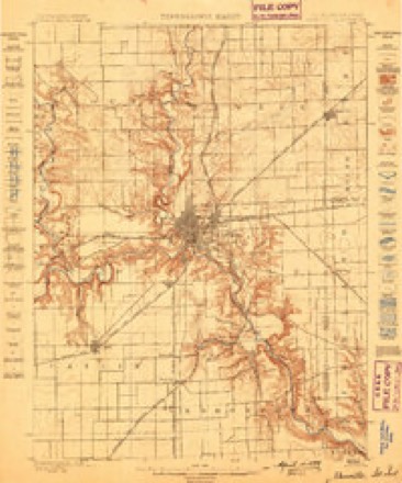
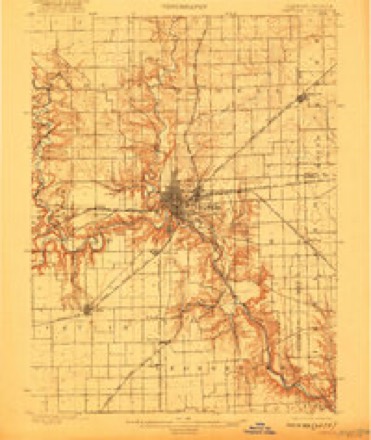
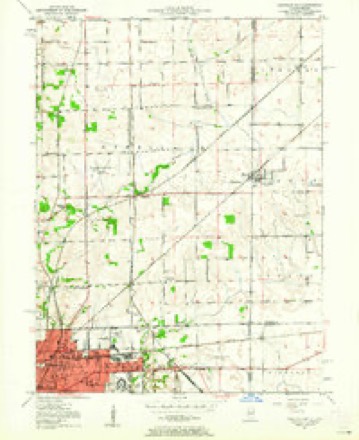
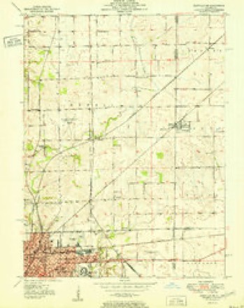
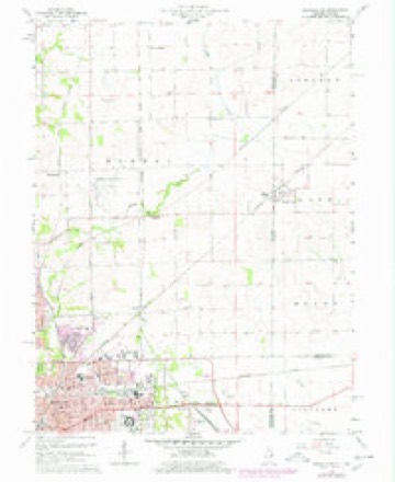
19 topographic sheets cover this place, the earliest surveyed in 1899 and the latest in 1987. It stands in Kent Township. It lies in ZIP code area 47982. The Survey maps it on the Danville NE quadrangle.
Topographic sheets covering this place
10 surveys from 19 printed sheetsMatched by testing this settlement's coordinate against the published boundary of every sheet in the United States Geological Survey's historical collection. Each opens the scanned sheet at the Survey.
- 1899 USGS Danville quadrangle1:62500
- 1900 USGS Danville quadrangle1:62500, 7 printings
- 1950 USGS Danville NE quadrangle1:24000
- 1951 USGS Danville NE quadrangle1:24000
- 1953 USGS Danville quadrangle1:250000, 3 printings
- 1955 USGS Danville quadrangle1:250000
- 1956 USGS Danville quadrangle1:250000
- 1966 USGS Danville NE quadrangle1:24000, 2 printings
- 1984 USGS Danville quadrangle1:100000
- 1987 USGS Danville quadrangle1:100000



In the county-history sources
2,645 words on this townshipCounties of Warren, Benton, Jasper and Newton, Indiana : Historical and Biographical, published 1883 names this settlement in its chapter on Kent Township. These are the passages that mention it, exactly as the scans read.
Boone County. He studied medicine at Wabash, Ind., under Dr. Loop. In July, 1847, he came to this county, and after two years began practicing in Jamestown, Boone County, and remained two and a half years. In the spring of 185'3, he returned to AVarren County, atid located in this township, where he has since resided, coming to his present location, near State Line City, in IS')'-). After attending Wabi-ih College, he received his first lectures, in 1847-1:8, at the Indiana Medical College, then located at La Porte, and afterward at the same institution in Indianapolis, from which lie received his degree. Dr. Porter was married, .July 23, 18.50, to Eliza Layton, who died in February, 18.>5; afterward, March 13, 1860, he married Maria Layton, by whom he had one child, 8el)a. Mrs. Porter died in 1861. His third marriage was to Isabella Calhoun, November 23, 1865, by whom he had three children - Carrie (deceased), Albert (deceased) and George Seth. Dr. Porter is an enthusiast in his profession, and has two brothers, physicians. He is a Knight Templar Mason, an Odd Fellow and a Presbyterian.
Passage source: Counties of Warren, Benton, Jasper and Newton, Indiana : Historical and Biographical, published 1883.
Machine-read from a century-old scan, so expect the errors a machine makes: misspelled names, dropped words, stray characters.
Read the whole chapter on Kent Township - it names this place 9 more 9 times.
Fires near this place
3 since 2004Regional context, not property-specific evidence. The federal wildfire occurrence database lists 3 fires within 5 miles of State Line between 2004 and 2011, burning about 16 acres in total. None started naturally. None was recorded as arson. Distance is straight-line from the map coordinates, so a fire counted here may appear on a neighbouring settlement's page as well.
| Reported cause | Fires |
|---|---|
| Missing data/not specified/undetermined | 2 |
| Equipment and vehicle use | 1 |
The most recent of them, most recent first, with the day each was reported and the service that recorded it.
| Date | Cause | Size | Reported by | Name on the report |
|---|---|---|---|---|
| 23 September 2011 | Missing data/not specified/undetermined | 10 acres | Illinois Division of Forestry Resources | DANVILLE |
| 19 April 2004 | Missing data/not specified/undetermined | 4.0 acres | Illinois State Fire Marshal's Office | not named |
| 8 October 2010 | Equipment and vehicle use | 1.5 acres | Illinois Division of Forestry Resources | HUGHES |
Storms near this place
7 since 2001Regional context, not property-specific evidence. The National Weather Service names State Line in 7 storm reports between 2001 and 2019: 3 hail, 3 thunderstorm wind, 1 flood. No death or injury is recorded in these reports. Each account below is quoted exactly as the forecast office filed it, from the NOAA Storm Events Database, and each date opens the federal record of that event.
| When | Event | Place named | Harm | What the report says |
|---|---|---|---|---|
| May 2019 | Thunderstorm Wind | State Line | $8,000 | A 12 to 14 inch diameter tree was downed across County Road 825 South due to damaging thunderstorm wind gusts. Several other downed trees were reported from rural portions of the county. |
| June 2015 | Flood | State Line | $500 | Dispatch said County Road 900 West was closed between County Roads 825 South and 950 South due to high water from heavy rainfall. |
| December 2007 | Thunderstorm Wind | State Line | - | A wind gust of 60 mph was estimated as a severe thunderstorm moved through the area. |
| April 2007 | Hail | State Line | - | no account filed |
| July 2004 | Hail | State Line | - | no account filed |
| July 2003 | Thunderstorm Wind | State Line | - | no account filed |
| April 2001 | Hail | State Line | - | no account filed |
Nearest settlements
The eight closest, with where each one stands in the county. Distances are straight-line, computed from the Geographic Names Information System coordinates.
| Map | Place | Distance | Sheets |
|---|---|---|---|
| Johnsonville | 3.0 miles | 11 | |
| Foster | 4.6 miles | 11 | |
| Marshfield | 5.3 miles | 11 | |
| Olin | 6.1 miles | 11 | |
| Romine Corner | 6.3 miles | 11 | |
| Hedrick | 7.5 miles | 9 | |
| Sloan | 7.7 miles | 9 | |
| Old Town | 8.5 miles | 9 |
Provenance
This settlement is recorded in the Geographic Names Information System as feature 449734. The sheet list is computed by point-in-boundary test against the United States Geological Survey's historical topographic inventory. Both are works of the United States government and carry no copyright under 17 U.S.C. 105.
Wildfire. Short, Karen C. 2022. Spatial wildfire occurrence data for the United States, 1992-2020 [FPA_FOD_20221014]. 6th Edition. Fort Collins, CO: Forest Service Research Data Archive. https://doi.org/10.2737/RDS-2013-0009.6 Collected with United States Government funding and usable without additional permissions or fees.
Storms. NOAA National Centers for Environmental Information, Storm Events Database https://www.ncei.noaa.gov/stormevents/ A work of the United States government, no copyright under 17 U.S.C. 105. Narratives are quoted verbatim from the National Weather Service report and are not edited or summarised.