 Block
Stones Crossing, Indiana
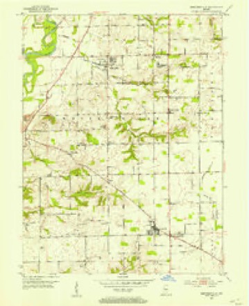
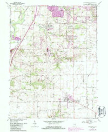
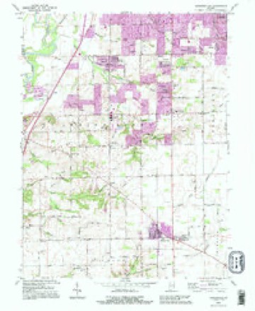
16 topographic sheets cover this place, the earliest surveyed in 1952 and the latest in 1992. It stands in White River Township. It lies in ZIP code area 46143. It stands on Auburn Branch. The Survey maps it on the Bargersville quadrangle.
Topographic sheets covering this place
8 surveys from 16 printed sheetsMatched by testing this settlement's coordinate against the published boundary of every sheet in the United States Geological Survey's historical collection. Each opens the scanned sheet at the Survey.
- 1952 USGS Bargersville quadrangle1:24000
- 1953 USGS Indianapolis quadrangle1:250000, 4 printings
- 1956 USGS Indianapolis quadrangle1:250000
- 1957 USGS Indianapolis quadrangle1:250000, 2 printings
- 1962 USGS Bargersville quadrangle1:24000, 4 printings
- 1962 USGS Indianapolis quadrangle1:250000
- 1986 USGS Indianapolis quadrangle1:100000, 2 printings
- 1992 USGS Bargersville quadrangle1:24000





In the county-history sources
25,754 words on this townshipA Historical Sketch of Johnson County, Indiana, published 1881; History of Johnson County, Indiana : from the Earliest Time to the Present, with Biographical Sketches, Notes, Etc. Together with a Short History of the Northwest, the Indiana Territory, and the State of Indiana, published 1888 has no passage naming this settlement, which was common for smaller places. Its township is covered in full.
The chapter on White River Township covers the township.
Read the chapter on White River Township - 25,754 words.
Mines and quarries near this place
3 within 5 milesRegional context, not property-specific evidence. The federal mineral resources record lists 3 workings within 5 miles of Stones Crossing: 1 producer, 1 past producer, 1 unknown. 1 still produces. What was taken out: Sand and Gravel, Construction. Distance is straight-line from the map coordinates, so a quarry counted here may appear on a neighbouring settlement's page as well.
| Where | Site | Commodity | Status | Recorded |
|---|---|---|---|---|
| Central Aggregates Pit | Sand and Gravel, Construction | Producer | ||
| Kelsay & York Gravel Pit | Sand and Gravel, Construction | Unknown | ||
| Port Royal Pit | Sand and Gravel, Construction | Past Producer |
Storms near this place
6 since 2000Regional context, not property-specific evidence. The National Weather Service names Stones Crossing in 6 storm reports between 2000 and 2021: 2 hail, 2 lightning, 1 tornado, 1 thunderstorm wind. No death or injury is recorded in these reports. Each account below is quoted exactly as the forecast office filed it, from the NOAA Storm Events Database, and each date opens the federal record of that event.
| When | Event | Place named | Harm | What the report says |
|---|---|---|---|---|
| July 2005 | Lightning | Stones Crossing | $150,000 | Lightning sparked a fire which severely damaged a home. |
| July 2005 | Lightning | Stones Crossing | $100,000 | Lightning set a home ablaze. The damage amount is estimated. |
| December 2021 | Thunderstorm Wind | Stones Crossing | $7,000 | Electric poles and some trees down by thunderstorm wind gusts in Johnson County. Transformer fire in southern part of the county. |
| July 2010 | Tornado (EF0) | Stones Crossing | $2,250 | A weak tornado touched down in Johnson County in the vicinity of Tracy Road just east of State Road 135 or on the southwest side of Greenwood. Some roofing of sheds were damaged, tree limbs were downed, and small areas of crops were flattened by this brief tornado. This tornado was rated an EF0. This tornado was also referred to as a landspout, being formed as the result of thunderstorm wind outflow boundaries interacting with the thunderstorm. Landspouts often exhibit little or no rotation on the radar, as was the case here. Landspouts tend to be brief and weak and this was evident in the damage path. |
| April 2015 | Hail | Stones Crossing | - | no account filed |
| August 2000 | Hail | Stones Crossing | - | no account filed |
Nearest settlements
The eight closest, with where each one stands in the county. Distances are straight-line, computed from the Geographic Names Information System coordinates.
| Map | Place | Distance | Sheets |
|---|---|---|---|
| Tremont | 0.9 miles | 16 | |
| Willow Lakes | 0.9 miles | 16 | |
| El Dorado | 0.9 miles | 16 | |
| Hunters Pointe | 1.3 miles | 16 | |
| Cedar Hills | 1.3 miles | 16 | |
| Golden Grove | 1.3 miles | 16 | |
| Eagle Trace | 1.3 miles | 16 | |
| Woodland Stream | 1.6 miles | 16 |
Provenance
This settlement is recorded in the Geographic Names Information System as feature 444217. The sheet list is computed by point-in-boundary test against the United States Geological Survey's historical topographic inventory. Both are works of the United States government and carry no copyright under 17 U.S.C. 105.
Mines and quarries. USGS Mineral Resources Data System (MRDS) https://mrdata.usgs.gov/mrds/ A work of the United States government, no copyright under 17 U.S.C. 105.
Storms. NOAA National Centers for Environmental Information, Storm Events Database https://www.ncei.noaa.gov/stormevents/ A work of the United States government, no copyright under 17 U.S.C. 105. Narratives are quoted verbatim from the National Weather Service report and are not edited or summarised.