 Block
Tighe, Indiana
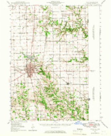
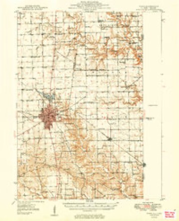
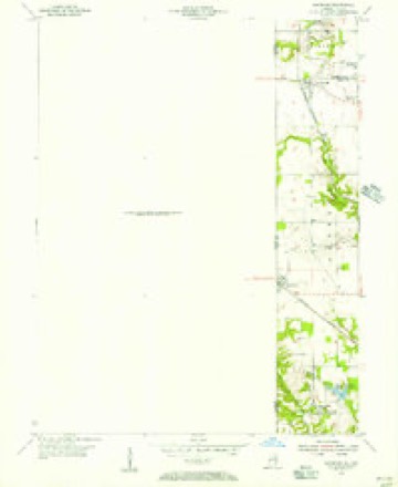
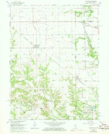
18 topographic sheets cover this place, the earliest surveyed in 1947 and the latest in 1998. It stands in Clinton Township. It lies in ZIP code area 47842. It stands on Gin Creek. The Survey maps it on the Sandford quadrangle. It stands 581 feet above sea level.
Topographic sheets covering this place
10 surveys from 18 printed sheetsMatched by testing this settlement's coordinate against the published boundary of every sheet in the United States Geological Survey's historical collection. Each opens the scanned sheet at the Survey.
- 1947 USGS Paris quadrangle1:62500
- 1949 USGS Paris quadrangle1:62500, 2 printings
- 1950 USGS Sandford quadrangle1:24000
- 1953 USGS Indianapolis quadrangle1:250000, 4 printings
- 1956 USGS Indianapolis quadrangle1:250000
- 1957 USGS Indianapolis quadrangle1:250000, 2 printings
- 1962 USGS Indianapolis quadrangle1:250000
- 1966 USGS Sandford quadrangle1:24000, 3 printings
- 1986 USGS Paris quadrangle1:100000, 2 printings
- 1998 USGS Sandford quadrangle1:24000




In the county-history sources
8,785 words on this townshipBiographical and Historical Record of Vermillion County, Indiana : Containing Portraits of All the Presidents of the United States from Washington to Cleveland, with Accompanying Biographies of Each; a Condensed History of the State of Indiana; Portraits and Biographies of Some of the Prominent Men of the State; Engravings of Prominent Citizens in Vermillion County, with Personal Histories of Many of the Leading Families, and a Concise History of the County and Its Villages, published 1888; History of Parke and Vermillion Counties, Indiana : with Historical Sketches of Representative Citizens and Genealogical Records of Many of the Old Families, published 1913 has no passage naming this settlement, which was common for smaller places. Its township is covered in full.
The chapter on Clinton Township covers the township.
Read the chapter on Clinton Township - 8,785 words.
Nearest settlements
The eight closest, with where each one stands in the county. Distances are straight-line, computed from the Geographic Names Information System coordinates.
Elsewhere
Matched on this settlement's Geographic Names Information System number rather than its name, so it cannot be a different place of the same name in another state.
| Wikidata item Q26878556 | The structured record the population and elevation above come from. Public domain (CC0). |
Provenance
This settlement is recorded in the Geographic Names Information System as feature 446662. The sheet list is computed by point-in-boundary test against the United States Geological Survey's historical topographic inventory. Both are works of the United States government and carry no copyright under 17 U.S.C. 105.