 Block
Westlawn, Indiana
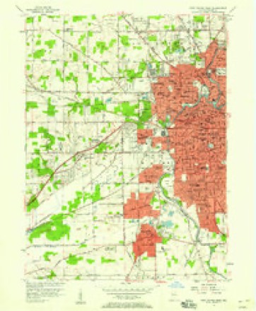
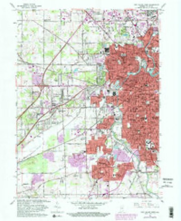
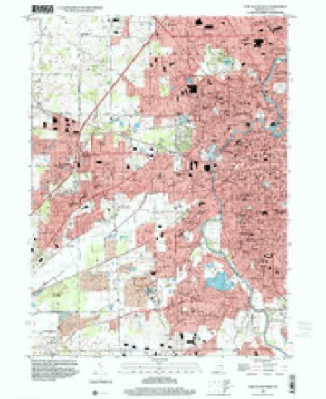
14 topographic sheets cover this place, the earliest surveyed in 1953 and the latest in 1998. It stands in Aboite Township. It lies in ZIP code area 46804. The Survey maps it on the Fort Wayne West quadrangle.
Topographic sheets covering this place
7 surveys from 14 printed sheetsMatched by testing this settlement's coordinate against the published boundary of every sheet in the United States Geological Survey's historical collection. Each opens the scanned sheet at the Survey.
- 1953 USGS Fort Wayne quadrangle1:250000, 4 printings
- 1956 USGS Fort Wayne quadrangle1:250000, 2 printings
- 1956 USGS Fort Wayne West quadrangle1:24000
- 1963 USGS Fort Wayne West quadrangle1:24000, 4 printings
- 1984 USGS Fort Wayne quadrangle1:100000
- 1994 USGS Fort Wayne quadrangle1:100000
- 1998 USGS Fort Wayne West quadrangle1:24000




Mines and quarries near this place
10 within 5 milesRegional context, not property-specific evidence. The federal mineral resources record lists 10 workings within 5 miles of Westlawn: 7 producers, 2 occurrences, 1 past producer. 7 still produce. What was taken out: Sand and Gravel, Construction, Stone, Crushed/Broken, Zinc, Fluorine-Fluorite, Sulfur. Distance is straight-line from the map coordinates, so a quarry counted here may appear on a neighbouring settlement's page as well.
| Where | Site | Commodity | Status | Recorded |
|---|---|---|---|---|
| Sphalerite and Fluorite Occurrence Z79 | Zinc, Fluorine-Fluorite, Sulfur | Occurrence | Fluorite, Sphalerite | |
| Unnamed Fluorite Occurrence | Fluorine-Fluorite | Occurrence | Fluorite | |
| Ardmore Stone Plant #2 | Stone, Crushed/Broken | Producer | ||
| Ft. Wayne Quarry & Mill | Stone, Crushed/Broken | Producer | ||
| Ardmore Sand Plant #1 | Sand and Gravel, Construction | Producer | ||
| Brudi #1 | Sand and Gravel, Construction | Producer | ||
| Brudi #4 | Sand and Gravel, Construction | Producer | ||
| Irving Gravel Co., Inc. | Sand and Gravel, Construction | Producer | ||
| Midwest Aggregates Pit 1 | Sand and Gravel, Construction | Producer | ||
| Midwest Aggregates Pit 2 | Sand and Gravel, Construction | Past Producer |
Storms near this place
15 since 2007Regional context, not property-specific evidence. The National Weather Service names Westlawn in 15 storm reports between 2007 and 2025: 7 thunderstorm wind, 6 hail, 2 flood. No death or injury is recorded in these reports. Each account below is quoted exactly as the forecast office filed it, from the NOAA Storm Events Database, and each date opens the federal record of that event.
| When | Event | Place named | Harm | What the report says |
|---|---|---|---|---|
| August 2021 | Thunderstorm Wind | Westlawn | $150,000 | A street light and light pole were knocked down. |
| May 2010 | Thunderstorm Wind | Westlawn | $45,000 | The public reported around a dozen power poles being blown down south of US-30, near the intersection of Leesburg and Flaugh. Damage is estimated at $45,000. |
| May 2025 | Thunderstorm Wind | Westlawn | $5,000 | Two-foot diameter trees down on Leesburg Rd near Kromer Rd. |
| July 2024 | Thunderstorm Wind | Westlawn | $1,000 | Large tree limbs down near Illinois Road between Scott and Hadley. |
| July 2023 | Thunderstorm Wind | Westlawn | $500 | Six inch diameter tree limbs were down on Covington and Scott roads. |
| February 2023 | Thunderstorm Wind | Westlawn | - | A few trees were downed. A home sustained some shingle and siding damage. |
| July 2020 | Thunderstorm Wind | Westlawn | - | Four to six inch diameter tree downed along I-69 near mile marker 306. |
| July 2020 | Flood | Westlawn | - | Water reported over the road up to eight inches deep, on Covington Road between Jefferson Blvd. and Getz Rd. |
| November 2014 | Flood | Westlawn | - | High water in the area of Seegar Ditch caused temporary road closures. |
| June 2019 | Hail | Westlawn | - | no account filed |
| June 2013 | Hail | Westlawn | - | no account filed |
| June 2013 | Hail | Westlawn | - | no account filed |
| June 2013 | Hail | Westlawn | - | no account filed |
| May 2011 | Hail | Westlawn | - | no account filed |
| April 2007 | Hail | Westlawn | - | no account filed |
Nearest settlements
The eight closest, with where each one stands in the county. Distances are straight-line, computed from the Geographic Names Information System coordinates.
| Map | Place | Distance | Sheets |
|---|---|---|---|
| Covington Dells | 0.8 miles | 14 | |
| Ansley Acres | 0.8 miles | 14 | |
| Westmoor | 1.2 miles | 14 | |
| Times Corner | 1.4 miles | 14 | |
| Brierwood Hills | 1.8 miles | 14 | |
| Country Club Gardens | 2.1 miles | 14 | |
| North Highland | 3.3 miles | 14 | |
| Indian Village | 3.7 miles | 14 |
Provenance
This settlement is recorded in the Geographic Names Information System as feature 445840. The sheet list is computed by point-in-boundary test against the United States Geological Survey's historical topographic inventory. Both are works of the United States government and carry no copyright under 17 U.S.C. 105.
Mines and quarries. USGS Mineral Resources Data System (MRDS) https://mrdata.usgs.gov/mrds/ A work of the United States government, no copyright under 17 U.S.C. 105.
Storms. NOAA National Centers for Environmental Information, Storm Events Database https://www.ncei.noaa.gov/stormevents/ A work of the United States government, no copyright under 17 U.S.C. 105. Narratives are quoted verbatim from the National Weather Service report and are not edited or summarised.