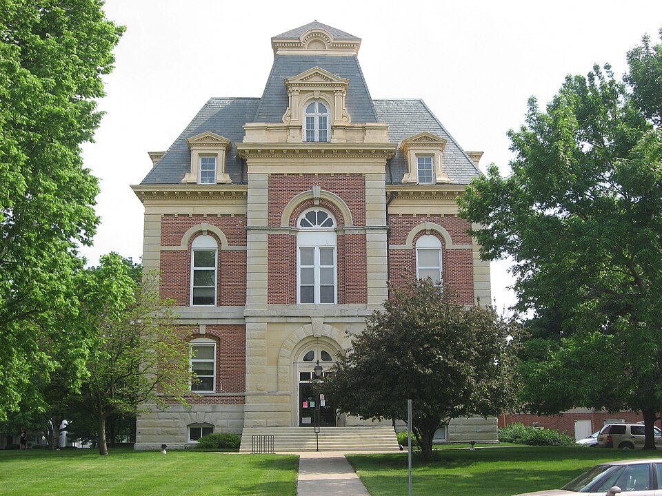
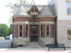
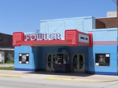
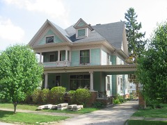
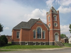
Built in 1874 (Second Empire style). Listed on the National Register of Historic Places in 2008.
From the record
“Benton County Courthouse is a Second Empire style building in Benton County, Indiana that was built in 1874.”
Wikipedia article Benton County Courthouse (Indiana), CC BY-SA 4.0.
One of 7 National Register listings published here for Benton County · listed in 2008 · category: Building · built in 1874, Second Empire style, by Gurdon P. Randall.
National Register reference number.08000741- the number the National Park Service assigned this property when it was listed, and the key its nomination file is catalogued under at the National Archives.
Center sclioul. The first part of the term was taught by Jennie Lane of Lafayette, but it was completed by Elizabeth Young. She also taught the first term in the East Center school which was built in 1872. Laura Lewis, Henrietta, Jessie and William Graham, and ^lary A. Pearson (Chenoweth) were pupils in the summer kitchen school. Matthew H. Walker taught the second term at East Center. The third schoolhouse built was in Fowler, and two other buildings were erected before Prairie became Center township. The country- teachers in 1875-6 were Adelaide Smith, F. J. Brown, Samuel Heisler and T. M. Underwood. The enumeration was seventy-five in 1866 and 109 in 1871. In 1870-1 but one school was taught; the enrollment was seventy-nine, daily average forty-two, days taught 120, teacher's daily wages |1. 871/2? total value of school property in township |360, and forty-six volumes in the librar}'.
Warren B. Sheetz established a graded school at Swanington in 1894, employing Carl McCaslin and Lulu Johnson as the teachers in 1894-5. The people in the vicinity have always taken pride in this school and have done much to uphold it. They are now asking Trustee Hagenbuch to build them a new building and organize a high school. There are 1,210 books in the school libraries of the township. Many of Center's common school graduates have completed the course of the Fowler commissioned high school, and quite a number of them have taken a college course. Mr. Hagenbuch has been both a high school and college student, and is especially anxious that his teachers and schools should be of the best.
Regional context, not property-specific
evidence. The federal mineral resources record lists
1 working within 5 miles of Benton County Courthouse: 1 producer.
All of them still produce. What was taken out: Stone. Distance is straight-line from the
map coordinates, so a quarry counted here may appear on a neighbouring
settlement's page as well.
Regional context, not property-specific
evidence. The National Weather Service names
Fowler, the town this property stands in, in 34 storm reports between 1996 and 2026: 20 thunderstorm wind, 11 hail, 1 flood, 1 funnel cloud.
No death or injury is recorded in these reports. Each account below is quoted exactly as the forecast office
filed it, from the NOAA Storm Events Database, and each date
opens the federal record of that event.
Thunderstorm outflow winds on the leading edge of a dust storm blew down numerous trees in and around Fowler. Three houses were damaged by trees, one seriously. Damage to roofs and windows was also reported, along with 15 utility poles snapped. A DOT webcam showed near zero visibility on Route 41 west of Fowler.
No historic map-sheet match is published
for this property yet. That does not mean no map exists. This record needs
a coordinate-quality review before it can be joined to a sheet boundary.
Browse the county's mapped places while that work is
pending.
Listed places nearby
6 within 8 miles
Other National Register properties close
enough to walk or drive between, ordered by distance from this one. Both
positions come from the same geocoding pass that matched these properties
to their map sheets.
Listing record. National Park Service National Register of Historic Places, listed-properties dataset, current to 2026-05-22.
Map join. Address geocoded through the United States Census geocoder, then tested against the published boundary of every sheet in the USGS Historical Topographic Map Collection.
How this page is made. Listing fields come from federal records; map-sheet coverage is a labelled coordinate-to-boundary calculation, not a source-field claim.
Mines and quarries. USGS Mineral Resources Data System (MRDS) https://mrdata.usgs.gov/mrds/ A work of the United States government, no copyright under 17 U.S.C. 105.
Storms. NOAA National Centers for Environmental Information, Storm Events Database https://www.ncei.noaa.gov/stormevents/ A work of the United States government, no copyright under 17 U.S.C. 105. Narratives are quoted verbatim from the National Weather Service report and are not edited or summarised.
 Block