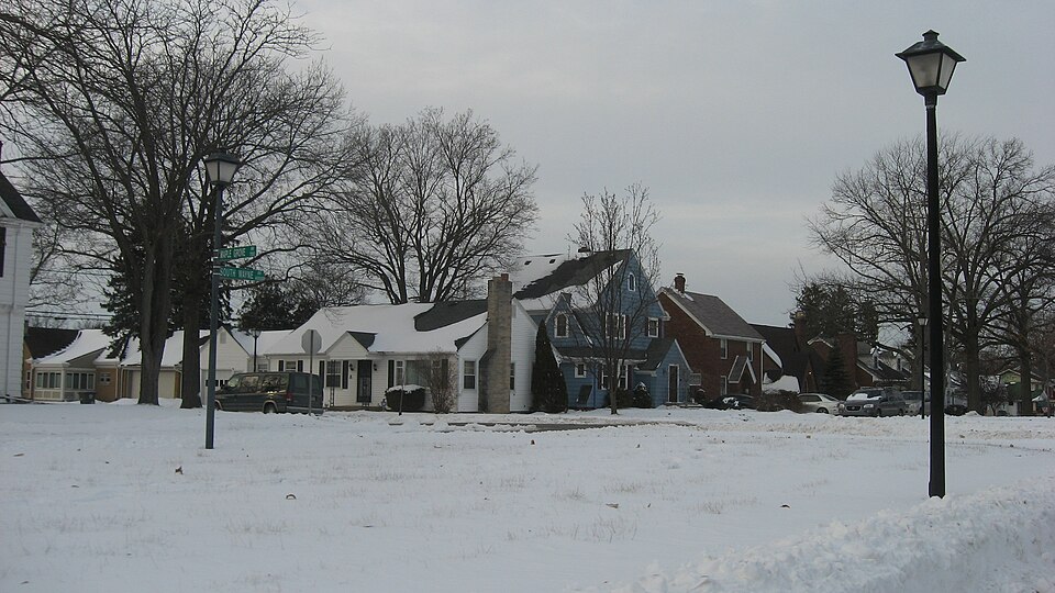
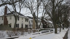
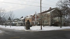
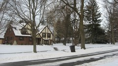
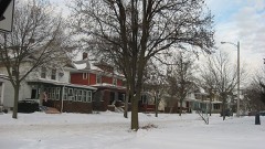
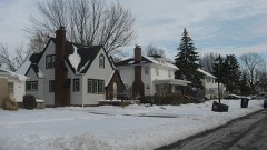
Listed on the National Register of Historic Places in 2009.
From the record
“Southwood Park Historic District is a national historic district located at Fort Wayne, Indiana. The district encompasses 1,889 contributing buildings, 1 contributing site, 4 contributing structures, and 1 contributing object in a predominantly residential section of Fort Wayne.”
Wikipedia article Southwood Park Historic District, CC BY-SA 4.0.
One of 81 National Register listings published here for Allen County · listed in 2009 · category: District.
National Register reference number.09001126- the number the National Park Service assigned this property when it was listed, and the key its nomination file is catalogued under at the National Archives.
The ground it stands on
40,276 words
The chapter on Wayne Township in History of Allen County, Indiana., published 1880 names Fort Wayne. This is what it says, exactly as the scans read.
The original plat of the city of Fort Wayne was laid out by John T. Barr and John McCorkle in August, 1822, and recorded in the office of the Recorder of Randolph County, of Winchester, and subsequently in Recorder's Record A, page 316, of the records of Allen County, containing 118 lots, with three streets running north and south on a variation of 3°, 30' west of magnetic north, namely, Calhoun, Clinton and Barr ; five streets running at right angles to same variation, namely, Wayne, Berry, Main, Columbia and Water streets" The public square was laid off iu this plat, with Court street on the east side of the same. This plat, which was recorded on the 16th day of August, 1833, was' surveyed by Robert Young, of Piqua, Ohio.
In September, 1829, when Fort Wayne had made considerable" progress in improvements, and the accumulations, incident to a new town eligibly situated, possessed of many of the elements of prosperous growth, and, withal, well to do in the self-respect of her citizens, had been developed, the provident people of the locality bethought themselves of the propriety, at least, if not the advantages of incorporation. Hence, pursuaut to a notice to that effect, an election was held on the 7th of September, 1829, to determine whether Fort Wayne should then and there be incorporated. The result of that election is set forth in the following certificate :
Regional context, not property-specific
evidence. The federal mineral resources record lists
7 workings within 5 miles of Southwood Park Historic District: 6 producers, 1 occurrence.
6 still produce. What was taken out: Sand and Gravel, Construction, Zinc, Fluorine-Fluorite, Sulfur, Stone, Crushed/Broken. Distance is straight-line from the
map coordinates, so a quarry counted here may appear on a neighbouring
settlement's page as well.
Regional context, not property-specific
evidence. The National Weather Service names
Fort Wayne, the town this property stands in, in 5 storm reports between 1994 and 1997: 2 thunderstorm wind, 2 flash flood, 1 hail.
No death or injury is recorded in these reports. Each account below is quoted exactly as the forecast office
filed it, from the NOAA Storm Events Database, and each date
opens the federal record of that event.
One-inch diameter hail fell on the north side of Fort Wayne at Point Inverness at 2044EST; also one inch hail near United States 33 and Cook Road on the north side of Fort Wayne at 2050 EST.
No historic map-sheet match is published
for this property yet. That does not mean no map exists. This record needs
a coordinate-quality review before it can be joined to a sheet boundary.
Browse the county's mapped places while that work is
pending.
Listed places nearby
6 within 8 miles
Other National Register properties close
enough to walk or drive between, ordered by distance from this one. Both
positions come from the same geocoding pass that matched these properties
to their map sheets.
Listing record. National Park Service National Register of Historic Places, listed-properties dataset, current to 2026-05-22.
Map join. Address geocoded through the United States Census geocoder, then tested against the published boundary of every sheet in the USGS Historical Topographic Map Collection.
How this page is made. Listing fields come from federal records; map-sheet coverage is a labelled coordinate-to-boundary calculation, not a source-field claim.
Mines and quarries. USGS Mineral Resources Data System (MRDS) https://mrdata.usgs.gov/mrds/ A work of the United States government, no copyright under 17 U.S.C. 105.
Storms. NOAA National Centers for Environmental Information, Storm Events Database https://www.ncei.noaa.gov/stormevents/ A work of the United States government, no copyright under 17 U.S.C. 105. Narratives are quoted verbatim from the National Weather Service report and are not edited or summarised.
 Block