 Block
From the record
One of 19 National Register listings published here for Fountain County · listed in 2021 · category: Structure · built in 1860.
Sources: the National Register database, National Park Service
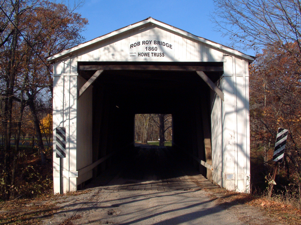
Built in 1860. Listed on the National Register of Historic Places in 2021.
One of 19 National Register listings published here for Fountain County · listed in 2021 · category: Structure · built in 1860.
Sources: the National Register database, National Park Service
The chapter on Shawnee Township in History of Fountain County : Together with Historic Notes on the Wabash Valley, Gleaned from Early Authors, Old Maps and Manuscripts, published 1881 names Rob Roy. This is what it says, exactly as the scans read.
The pioneer settlers, before grounds were set apart for burial places, buried their dead on their own premises. These changing owners, as they often did, the graves were given over to spoliation. A cliild born to Wilson and Sarah Claypool was buried October 20, 1820. The spot chosen was one which was little likely in any event ever to be disturbed by the plow. It is a ridge of hill, precipitous on one side but beautifully' swelling on the other, which seems to have been fashioned by the hand of the Creator to be a last resting-place of the dead. Others sought the privilege of burying here, and it came to be known as the Claypool cemetery. In October, 1874, a number of citizens constituted themselves the Shawnee Cemetery Association, "to acquire the title to the grounds belonging to the Claypool cemetery, to enlarge them, to create a perpetual fund to keep them in order, and lay them out into lots, walks, and carriage-ways." The United Brethren cemetery dates as early as 1827. In 1838 the title was acquired and the grounds put in order under the authority of the United Brethren Conference. The Associated Citizens' cemetery, which is surrounded by the same fence, was established August 16, 1857. The Hopkins cemetery dates from about 1827. The cemetery at Portland was laid oil" with the town plat in 1S2S, and the one at Rob Roy probably a year or two later.
Passage source: History of Fountain County : Together with Historic Notes on the Wabash Valley, Gleaned from Early Authors, Old Maps and Manuscripts, published 1881.
The flrst school-house was built in 1824, near Coal creek, on land that George Stewart entered. The ne.xt year one was built near the southern line of the township, on Sec. 11. One was built at Rob Roy about 1828, and later, one on the north side of Big Shawnee on the Attica and Newtown road. They were built of logs which the settlers made common cause in drawing together and lifting to their places in the building. Thei-e was no help of skilled workmen from beginning to completion. They were not commodious, but they served to tide over the requirements of the times. The cnrrent notion that the teachers were dfstinguished for brawn rather than brain, that while austere and tyrannical they were incompetent to teach their pupils, is not justified by any recollections of them. Eather they are remembered for their accuracy of understanding, npi'ightness of character, and outward semblance of mental culture. Tliey loved learning for its own sake, and pursued it in calm repose and patient leisure. They read, studied, pondered, discoursed, and from the fullness of their information taught, " not more to gain a little needed money than to confer favor on the families of the communities around them." * And notwithstanding confessed and serious drawbacks, they edncited a generation to be practical men and women of affairs, well qualified to enact an honorable part on the theater of the world. Let us seek the explanation, assuming the mental fiber of the pupils then no better or stronger than that of the pupils now. There were not frequent changes of school-books. There was not so much talk about ediieation that the thing itself was forgotten in agitations respecting it; nor over-abundance of good counsel and suggestions of best methods of teaching that teachers were led to forget that the best way to teach is to teach ; or that comprehending the subjects to be taught in all their significance and relations they could hardly fail to teach well.
Passage source: History of Fountain County : Together with Historic Notes on the Wabash Valley, Gleaned from Early Authors, Old Maps and Manuscripts, published 1881.
Machine-read from a century-old scan, so expect the errors a machine makes: misspelled names, dropped words, stray characters.
Read the whole chapter on Shawnee Township - 17,054 words on its settlement, mills, schools and churches.
Regional context, not property-specific evidence. The federal mineral resources record lists 4 workings within 5 miles of Rob Roy Covered Bridge: 2 producers, 2 past producers. 2 still produce. What was taken out: Sand and Gravel, Construction. Distance is straight-line from the map coordinates, so a quarry counted here may appear on a neighbouring settlement's page as well.
| Where | Site | Commodity | Status | Recorded |
|---|---|---|---|---|
| Harrison Steel Co Quarry | Sand and Gravel, Construction | Past Producer | ||
| Neal Gravel Co. Inc. | Sand and Gravel, Construction | Past Producer | ||
| Wabash Gravel | Sand and Gravel, Construction | Producer | ||
| Warren Co. Hwy. | Sand and Gravel, Construction | Producer |
Regional context, not property-specific evidence. The National Weather Service names Rob Roy, the town this property stands in, in 4 storm reports between 2011 and 2025: 3 thunderstorm wind, 1 heavy rain. No death or injury is recorded in these reports. Each account below is quoted exactly as the forecast office filed it, from the NOAA Storm Events Database, and each date opens the federal record of that event.
| When | Event | Place named | Harm | What the report says |
|---|---|---|---|---|
| July 2011 | Thunderstorm Wind | Rob Roy | $8,000 | Eight trees were downed along County Road 800 North due to damaging thunderstorm wind gusts. |
| June 2025 | Thunderstorm Wind | Rob Roy | $5,000 | Multiple large tree branches and trunks snapped by thunderstorm wind gusts. |
| June 2012 | Thunderstorm Wind | Rob Roy | $250 | Tree limbs, approximately one inch in diameter, were blown down in this location due to strong thunderstorm wind gusts. A power outage was reported as well. |
| June 2012 | Heavy Rain | Rob Roy | - | A 24-hour rainfall of 4.27 inches was measured in this location. |
No historic map-sheet match is published for this property yet. That does not mean no map exists. This record needs a coordinate-quality review before it can be joined to a sheet boundary. Browse the county's mapped places while that work is pending.
Other National Register properties close enough to walk or drive between, ordered by distance from this one. Both positions come from the same geocoding pass that matched these properties to their map sheets.
| Photograph | Property | Distance | Listed |
|---|---|---|---|
 | Old East Historic District | 3.4 miles | 1990 |
 | Brady Street Historic District | 3.5 miles | 1990 |
 | James and Lucinda McDonald House | 3.6 miles | 2016 |
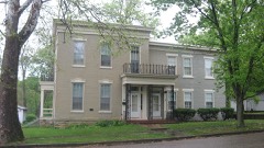 | Marshall M. Milford House | 3.7 miles | 1989 |
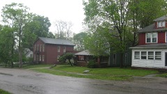 | Attica Main Street Historic District | 3.7 miles | 1994 |
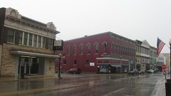 | Attica Downtown Historic District | 3.7 miles | 1993 |
| National Archives record | The nomination case file for reference 100006571 in Record Group 79. |
| Fountain County | All 19 listed properties in this county. |