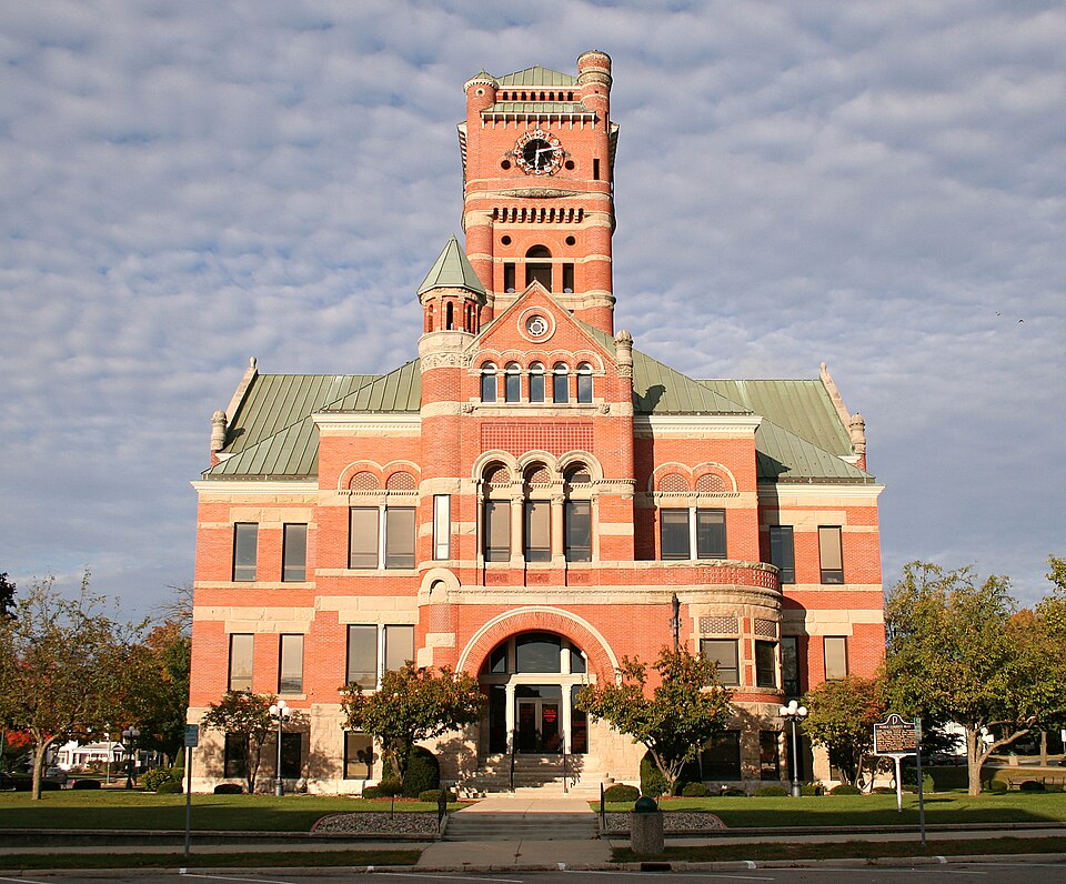
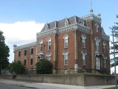
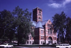
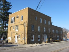
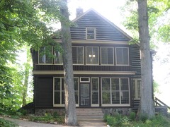
Photograph by Photo shot by Derek Jensen ( Tysto ), 2005-October-17, Public domain. Via
Wikimedia Commons.
Noble County Courthouse
Listed on the National Register of Historic Places in 1981.
From the record
“The Noble County Courthouse is a historic courthouse in Albion, Indiana. It is a 2½-story, Richardsonian Romanesque style red brick building with limestone trim.”
Wikipedia article Noble County Courthouse (Indiana), CC BY-SA 4.0.
One of 15 National Register listings published here for Noble County · listed in 1981 · category: Building.
National Register reference number.81000005- the number the National Park Service assigned this property when it was listed, and the key its nomination file is catalogued under at the National Archives.
Piano and Organ Dealer. I make Albion everj' two or three months. Those wishing to buy a fine piano I will give you a square deal as I have treated the following customers: - E. E. Prickett, W. H. Frazure, Mrs. Rauser, Mr. Hamlin, Mrs. W. Marks, Frank Marks, Mrs. Catharine Marks, Mrs. C. C. Kuhn, Mrs. Clara Cook, Mr. J. Cory, Mr. A. C. Green, Bessie B. Barcus, George G. Green, and Robert Hayes. Of Avilla, Ind., Harry Stewart and Mr. Jones.
Its proprietor having been in business for over forty years in Albion, being burned out entirely when in the Dry Goods and Grocery business where Schloss Bros, now conduct their store. After serving in the Auditor's office for two terms he again embarked in the mercantile business where he is now located, and is ever ready to demonstrate to the people that he is just as capable of serving them in a business way as he was forty years ago. You are all cordially invited to come in and trade at the old stand and he will treat you square.
Regional context, not property-specific
evidence. The federal mineral resources record lists
1 working within 5 miles of Noble County Courthouse: 1 producer.
All of them still produce. What was taken out: Sand and Gravel, Construction. Distance is straight-line from the
map coordinates, so a quarry counted here may appear on a neighbouring
settlement's page as well.
Regional context, not property-specific
evidence. The National Weather Service names
Albion, the town this property stands in, in 41 storm reports between 1996 and 2025: 20 thunderstorm wind, 20 hail, 1 tornado.
The reports record 1 injury. Each account below is quoted exactly as the forecast office
filed it, from the NOAA Storm Events Database, and each date
opens the federal record of that event.
Numerous trees, tree limbs, power lines and poles were blown down in and around Albion. One tree branch fell onto a moving van in the HIdden Diamonds Park in Albion. The driver was not injured.
Numerous trees were blown down starting in the town of Albion and continuing along for 5 milesjust south of highway 8. Several homes sustained minor damage. One mobile home 2 miles southeastof Albion was destroyed. Two farmsteads had their grain bins blown down and another farmstead hada barn destroyed by the high winds.
Emergency management officials reported trees down in Albion, with one onto a mobile home. A mobile home suffered both extensive roof damage as well as being buckled in on the southeast side of the trailer.
Indications of rotation were found on the northwest flank of a swath of microburst winds. The tornado appears to have touched down near a residence on East County Road 400 North, east of North County Road 150 East. A garage and well house suffered some damage. A barn on the northeast corner of the property suffered damage to the sides and roof, with debris being carried up to a half mile to the northeast. As the tornado crossed the road, power poles were snapped. It quickly moved over open fields until encountering a small property where 2 pine trees were snapped about half way up and the entire roof of a log cabin/cottage was picked up and thrown into a wood area to the northeast of the property. A picnic table and swing were thrown to the northwest into trees and another building. The tornado was likely in the process of lifting at this time with all debris left in the woods. No injuries were reported.
No historic map-sheet match is published
for this property yet. That does not mean no map exists. This record needs
a coordinate-quality review before it can be joined to a sheet boundary.
Browse the county's mapped places while that work is
pending.
Listed places nearby
6 within 8 miles
Other National Register properties close
enough to walk or drive between, ordered by distance from this one. Both
positions come from the same geocoding pass that matched these properties
to their map sheets.
Listing record. National Park Service National Register of Historic Places, listed-properties dataset, current to 2026-05-22.
Map join. Address geocoded through the United States Census geocoder, then tested against the published boundary of every sheet in the USGS Historical Topographic Map Collection.
How this page is made. Listing fields come from federal records; map-sheet coverage is a labelled coordinate-to-boundary calculation, not a source-field claim.
Mines and quarries. USGS Mineral Resources Data System (MRDS) https://mrdata.usgs.gov/mrds/ A work of the United States government, no copyright under 17 U.S.C. 105.
Storms. NOAA National Centers for Environmental Information, Storm Events Database https://www.ncei.noaa.gov/stormevents/ A work of the United States government, no copyright under 17 U.S.C. 105. Narratives are quoted verbatim from the National Weather Service report and are not edited or summarised.
 Block