 Block
Colony, Kansas
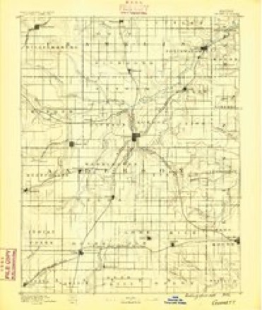
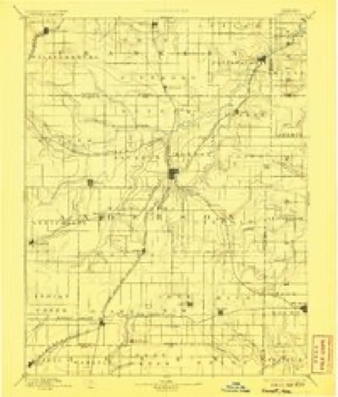
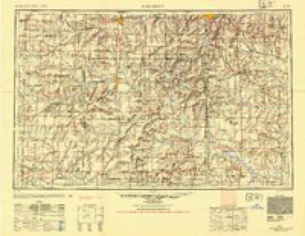
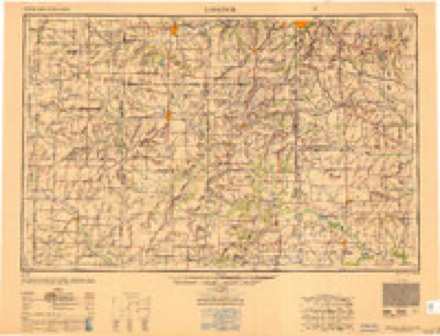
16 topographic sheets cover this place, the earliest surveyed in 1885 and the latest in 1990. It stands in Ozark Township. It lies in ZIP code area 66015. The Survey maps it on the Colony quadrangle. 381 people lived here at the 2020 count. It stands 1,129 feet above sea level.
Population over time
2 figuresColony fell from 408 to 381 between 2010 and 2020. These are the recorded population figures Wikidata holds for this place, reached through the Geographic Names Information System number this page is keyed on rather than by name, so they belong to this place and not to another of the same name. Most are census counts, but not all are: an early figure may be a founding or settlement estimate, and an estimate published within five years of a census is left out. The change column is computed, and is left blank where more than 20 years separate a figure from the one before it, because a gap that long is not a change between two counts.
| Year | People | Change |
|---|---|---|
| 2010 | 408 | |
| 2020 | 381 | -27 (-7%) |
Topographic sheets covering this place
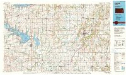
9 surveys from 16 printed sheetsMatched by testing this settlement's coordinate against the published boundary of every sheet in the United States Geological Survey's historical collection. Each opens the scanned sheet at the Survey.
- 1885 USGS Garnett quadrangle1:125000
- 1894 USGS Garnett quadrangle1:125000, 5 printings
- 1947 USGS Lawrence quadrangle1:250000
- 1950 USGS Lawrence quadrangle1:250000
- 1956 USGS Lawrence quadrangle1:250000, 4 printings
- 1961 USGS Lawrence quadrangle1:250000
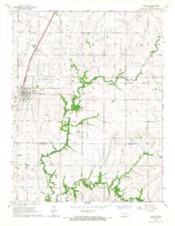
- 1966 USGS Colony quadrangle1:24000
- 1985 USGS Garnett quadrangle1:100000
- 1990 USGS Garnett quadrangle1:100000
Fires near this place
38 since 2015Regional context, not property-specific evidence. The federal wildfire occurrence database lists 38 fires within 5 miles of Colony between 2015 and 2020, burning about 747 acres in total. None started naturally. 1 was recorded as arson. Distance is straight-line from the map coordinates, so a fire counted here may appear on a neighbouring settlement's page as well.
| Reported cause | Fires |
|---|---|
| Missing data/not specified/undetermined | 20 |
| Debris and open burning | 16 |
| Arson/incendiarism | 1 |
| Equipment and vehicle use | 1 |
The most recent of them, most recent first, with the day each was reported and the service that recorded it.
| Date | Cause | Size | Reported by | Name on the report |
|---|---|---|---|---|
| 4 July 2020 | Missing data/not specified/undetermined | 1.0 acres | Kansas Forest Service | not named |
| 29 July 2018 | Equipment and vehicle use | 5.0 acres | Kansas Forest Service | 1851077 |
| 22 June 2018 | Missing data/not specified/undetermined | 2.0 acres | Kansas Forest Service | 1851065 |
| 19 June 2018 | Debris and open burning | 6.0 acres | Kansas Forest Service | 1851062 |
| 7 May 2015 | Missing data/not specified/undetermined | 100 acres | Kansas Forest Service | 1551055 |
| 9 April 2020 | Debris and open burning | 10 acres | Kansas Forest Service | not named |
| 21 April 2015 | Debris and open burning | 1.0 acres | Kansas Forest Service | 1551080 |
| 20 April 2018 | Debris and open burning | 42 acres | Kansas Forest Service | 1851049 |
Settlements close enough to share some of these fires:
Storms near this place
46 since 1994Regional context, not property-specific evidence. The National Weather Service names Colony in 46 storm reports between 1994 and 2026: 21 hail, 13 thunderstorm wind, 7 flash flood, 3 tornado. The reports record 3 injuries. Each account below is quoted exactly as the forecast office filed it, from the NOAA Storm Events Database, and each date opens the federal record of that event.
| When | Event | Place named | Harm | What the report says |
|---|---|---|---|---|
| May 2003 | Tornado (F2) | Colony | 3 hurt, $1,100,000 | A tornado formed 5 miles southeast of Colony and traveled a 15 mile path northeast before entering Linn county and dissipating. While in Anderson county the tornado injured 3 people, destroyed 7 homes and seriously damaged 2 others. |
| June 2007 | Flash Flood | Colony | $50,000 | Numerous secondary roads under water. 2.5 feet of water flowing over 1700 road and Geary road. 3 feet of fast flowing water reported over southwest Iowa road just west of highway 169. |
| July 2006 | Lightning | Colony | $50,000 | Lightning from a severe electrical storm brought power outages to several hundred customers throughout Anderson County. The time of the lightning strike in Colony is estimated. However, this strike at the telephone cooperative station in Colony produced some of the worst damage the technicians there had ever seen. |
| June 1998 | Thunderstorm Wind | Colony | $50,000 | no account filed |
| September 2012 | Thunderstorm Wind | Colony | $2,000 | Near Colony 2 small out buildings were damaged and a few trees were down near the Intersection of 200 and Delaware. |
| September 2009 | Flood | Colony | $1,000 | One car stalled in a low water crossing while attempting to drive through water. |
| April 2026 | Thunderstorm Wind | Colony | - | Also observed pea size hail. |
| May 2024 | Thunderstorm Wind | Colony | - | Roof blown off from house. |
| March 2023 | Hail | Colony | - | Nickel sized hail reported. |
| June 2021 | Flash Flood | Colony | - | Water flowing across SW 300 Rd from Lone Elm to Colony. |
| December 2021 | Thunderstorm Wind | Colony | - | Trained spotter reported 70 mph wind gust. |
| August 2019 | Flash Flood | Colony | - | Road closed near Colony due to flash flooding. |
| September 2018 | Flash Flood | Colony | - | Observer reported that 8 to 10 inches of water had backed into their front yard, which is very abnormal. |
| October 2018 | Flash Flood | Colony | - | A water rescue was underway as a vehicle was swept off the road. |
| June 2017 | Thunderstorm Wind | Colony | - | Estimated winds 55-65 MPH. |
| August 2017 | Thunderstorm Wind | Colony | - | Estimated wind gust report. |
| October 2017 | Thunderstorm Wind | Colony | - | Relayed report of power lines down. Radar estimated time. |
| June 2016 | Thunderstorm Wind | Colony | - | Farm outbuilding roof was blown off. |
| April 2014 | Flash Flood | Colony | - | KDOT closed highway 58 west of Colony due to rising water. |
| September 2012 | Thunderstorm Wind | Colony | - | Tree limbs were down near the intersection of 100 and Delaware. |
| May 2010 | Thunderstorm Wind | Colony | - | A law enforcement officer reported an estimated 60 mph wind. |
| April 2009 | Hail | Colony | - | Hail covering the ground. |
| June 2009 | Thunderstorm Wind | Colony | - | A trained spotter estimated an 80 mph wind gust. |
| June 2008 | Thunderstorm Wind | Colony | - | Large tree limbs down within the town of Colony. |
| February 2007 | Tornado (EF1) | Colony | - | Report relayed from storm chaser to KAKE TV, who transmitted the report to NWS-Topeka. An HP-supercell thunderstorm tracked across southern Anderson Couty the evening of the 28th. The supercell thunderstorm produced a tornado that touched down just east of the city of Colony. |The tornado moved northeast and was on the ground for nearly 9 1/2 miles. It lifted around 5 miles east of Welda. The average width of the tornado was 250 yards. Ultimately, over 40 structures were damaged but remarkably no injuries occurred. Most structures reported minor damage. However, numerous trees were toppled and outbuildings destroyed. Power lines were downed resulting in power loss to a number of southeast Anderson county residents. At least one barn was destroyed and several homes received significant structural damage. Windows were blown out of a number of homes as well as cars. The most significant damage occurred to a large span metal horse arena. This arena had steel girders and concrete footings. It was lifted out of the ground and destroyed. Horsemen in the arena at the time the tornado approached found safety in a small interior room and were uninjured. However, a horse and rider who remained in the arena were both thrown 100 feet into a field. But neither the horse nor the rider was seriously injured. Another horse had a steel pipe driven through its head but was not killed. The resident of this property lost his billfold to the tornadic wind. However, in the clean-up the next day, he found his billfold in a bird's nest nearby. An elderly lady who was very deaf was asleep in her house when it was hit by the tornado. The house received significant damage. But she was unhurt and had no idea what happened until a neighbor found her later and explained her house had been hit. The Garnett police chief was racing south behind the storm in his patrol car and nearly lost control when he came upon 3 to 4 inches of solid ice (hail) on the road. Reports indicated that a large amount of hail had fallen along a parallel path 3 to 5 miles north of the tornado. At one farmstead, a railroad car used as a storage shed was pushed off its foundation and rolled three times along the ground, smashing cattle panels and fences. The tornado was rated EF-1. |
| February 2007 | Tornado (EF0) | Colony | - | A weak EF-0 tornado touched down briefly in open country producing no damage. It developed from a parent HP-supercell thunderstorm. The path width was around 50 yards and the length was around one mile. |
| June 2019 | Hail | Colony | - | no account filed |
| July 2019 | Hail | Colony | - | no account filed |
| July 2019 | Hail | Colony | - | no account filed |
| August 2015 | Hail | Colony | - | no account filed |
| August 2015 | Hail | Colony | - | no account filed |
| April 2014 | Hail | Colony | - | no account filed |
| September 2012 | Hail | Colony | - | no account filed |
| June 2011 | Hail | Colony | - | no account filed |
| April 2011 | Hail | Colony | - | no account filed |
| April 2010 | Hail | Colony | - | no account filed |
| February 2007 | Hail | Colony | - | no account filed |
| March 2006 | Hail | Colony | - | no account filed |
| April 2003 | Hail | Colony | - | no account filed |
| April 2003 | Hail | Colony | - | no account filed |
| April 2003 | Hail | Colony | - | no account filed |
| August 2003 | Hail | Colony | - | no account filed |
| July 2003 | Hail | Colony | - | no account filed |
| June 1998 | Hail | Colony | - | no account filed |
| May 1996 | Flash Flood | Colony | - | no account filed |
| April 1994 | Hail | Colony | - | no account filed |
Nearest settlements
The eight closest, with where each one stands in the county. Distances are straight-line, computed from the Geographic Names Information System coordinates.
Elsewhere
Matched on this settlement's Geographic Names Information System number rather than its name, so it cannot be a different place of the same name in another state.
| Wikipedia article on Colony | An encyclopaedic summary. Its text is share-alike, so it is linked here rather than copied. |
| Wikidata item Q2073681 | The structured record the population and elevation above come from. Public domain (CC0). |
Provenance
This settlement is recorded in the Geographic Names Information System as feature 478124. The sheet list is computed by point-in-boundary test against the United States Geological Survey's historical topographic inventory. Both are works of the United States government and carry no copyright under 17 U.S.C. 105.
Wildfire. Short, Karen C. 2022. Spatial wildfire occurrence data for the United States, 1992-2020 [FPA_FOD_20221014]. 6th Edition. Fort Collins, CO: Forest Service Research Data Archive. https://doi.org/10.2737/RDS-2013-0009.6 Collected with United States Government funding and usable without additional permissions or fees.
Storms. NOAA National Centers for Environmental Information, Storm Events Database https://www.ncei.noaa.gov/stormevents/ A work of the United States government, no copyright under 17 U.S.C. 105. Narratives are quoted verbatim from the National Weather Service report and are not edited or summarised.