 Block
Haggard, Kansas
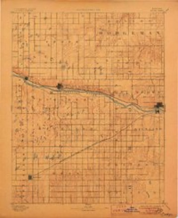
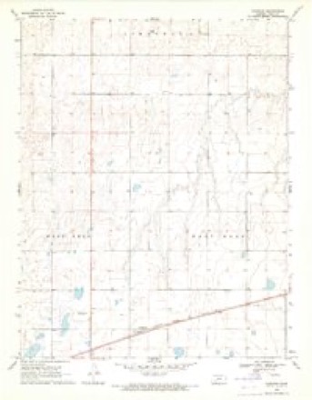
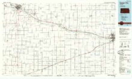
12 topographic sheets cover this place, the earliest surveyed in 1892 and the latest in 1985. It stands in East Hess Township. It lies in ZIP code area 67835. The Survey maps it on the Haggard quadrangle.
Topographic sheets covering this place
6 surveys from 12 printed sheetsMatched by testing this settlement's coordinate against the published boundary of every sheet in the United States Geological Survey's historical collection. Each opens the scanned sheet at the Survey.
- 1892 USGS Dodge quadrangle1:125000, 4 printings
- 1955 USGS Dodge City quadrangle1:250000, 3 printings
- 1958 USGS Dodge City quadrangle1:250000
- 1959 USGS Dodge City quadrangle1:250000
- 1969 USGS Haggard quadrangle1:24000
- 1985 USGS Dodge City quadrangle1:100000, 2 printings
Storms near this place
45 since 1993Regional context, not property-specific evidence. The National Weather Service names Haggard in 45 storm reports between 1993 and 2024: 25 hail, 14 thunderstorm wind, 2 heavy rain, 2 tornado. No death or injury is recorded in these reports. Each account below is quoted exactly as the forecast office filed it, from the NOAA Storm Events Database, and each date opens the federal record of that event.
| When | Event | Place named | Harm | What the report says |
|---|---|---|---|---|
| June 2015 | Thunderstorm Wind | Haggard | $75,000 | A pivot irrigation sprinkler was overturned by the high wind. |
| March 2021 | Tornado (EF2) | Haggard | $10,000 | The thunderstorm that produced this NNW moving tornado became surface based as it moved across the surface warm front. Surface temperatures at the time may have been around 50 degrees. That is pretty unusual for this part of the world at night in March. |
| February 2023 | Thunderstorm Wind | Haggard | - | Corrects previous tstm wnd dmg report from 5 nnw the haggard elevator. Social media photos of irrigation pivots flipped time estimates based off radar. |
| February 2023 | Thunderstorm Wind | Haggard | - | Irrigation pivots flipped over. |
| August 2023 | Thunderstorm Wind | Haggard | - | There was structural damage to a shed at the Haggard Elevator. |
| October 2021 | Tornado (EF1) | Haggard | - | This was a qlcs tornado. |
| June 2017 | Hail | Haggard | - | Damage was done to the home and to a vehicle. |
| June 2017 | Hail | Haggard | - | Hail damaged 7 windows, 4 vehicles and a metal building. |
| April 2016 | Flood | Haggard | - | County road FF near K-23 was across the road. |
| May 2015 | Flash Flood | Haggard | - | Runoff was flowing across Highway 23 in several different locations and also across several county roads. |
| May 2015 | Heavy Rain | Haggard | - | Rainfall of 3 inches was recorded during the period but most fell within an hour. |
| June 2015 | Hail | Haggard | - | Words from the trained spotter were that there was a lot of hail. |
| June 2015 | Hail | Haggard | - | Winds were also gusting to about 50 MPH as the hail fell. |
| June 2014 | Thunderstorm Wind | Haggard | - | Winds were estimated to be 70 MPH. |
| July 2013 | Thunderstorm Wind | Haggard | - | A few shingles were blown off and a one inch diameter tree branch was broken. |
| March 2012 | Hail | Haggard | - | Most of the hail was smaller. |
| June 2011 | Thunderstorm Wind | Haggard | - | The wind was measured with a hand held device. |
| June 2011 | Thunderstorm Wind | Haggard | - | Winds were estimated to be 70 MPH. |
| June 2010 | Heavy Rain | Haggard | - | Rainfall of 2.73 was reported. |
| May 2010 | Hail | Haggard | - | There was a range in size from ping pong ball to golf ball sized hail. |
| June 2024 | Thunderstorm Wind | Haggard | - | no account filed |
| February 2023 | Thunderstorm Wind | Haggard | - | no account filed |
| February 2023 | Thunderstorm Wind | Haggard | - | no account filed |
| June 2023 | Thunderstorm Wind | Haggard | - | no account filed |
| June 2017 | Hail | Haggard | - | no account filed |
| May 2015 | Hail | Haggard | - | no account filed |
| June 2015 | Hail | Haggard | - | no account filed |
| June 2015 | Hail | Haggard | - | no account filed |
| November 2015 | Hail | Haggard | - | no account filed |
| November 2015 | Hail | Haggard | - | no account filed |
| April 2014 | Hail | Haggard | - | no account filed |
| April 2014 | Hail | Haggard | - | no account filed |
| June 2014 | Hail | Haggard | - | no account filed |
| May 2014 | Thunderstorm Wind | Haggard | - | no account filed |
| June 2013 | Hail | Haggard | - | no account filed |
| June 2013 | Hail | Haggard | - | no account filed |
| July 2013 | Hail | Haggard | - | no account filed |
| May 2012 | Hail | Haggard | - | no account filed |
| June 2010 | Hail | Haggard | - | no account filed |
| May 2008 | Hail | Haggard | - | no account filed |
| April 2008 | Hail | Haggard | - | no account filed |
| May 2007 | Hail | Haggard | - | no account filed |
| March 2007 | Hail | Haggard | - | no account filed |
| August 1995 | Thunderstorm Wind | Haggard | - | no account filed |
| April 1993 | Hail | Haggard | - | no account filed |
Nearest settlements
The eight closest, with where each one stands in the county. Distances are straight-line, computed from the Geographic Names Information System coordinates.
Provenance
This settlement is recorded in the Geographic Names Information System as feature 471689. The sheet list is computed by point-in-boundary test against the United States Geological Survey's historical topographic inventory. Both are works of the United States government and carry no copyright under 17 U.S.C. 105.
Storms. NOAA National Centers for Environmental Information, Storm Events Database https://www.ncei.noaa.gov/stormevents/ A work of the United States government, no copyright under 17 U.S.C. 105. Narratives are quoted verbatim from the National Weather Service report and are not edited or summarised.