 Block
Modoc, Kansas
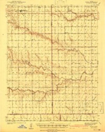
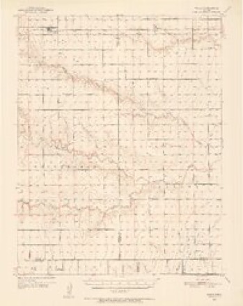
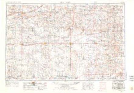
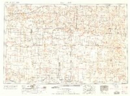
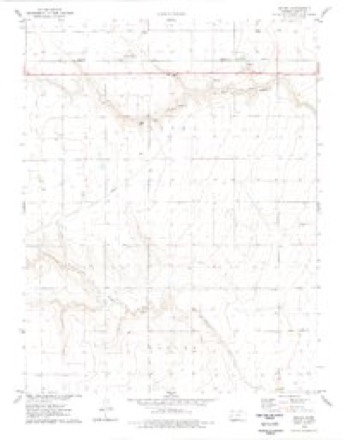
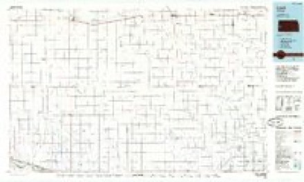
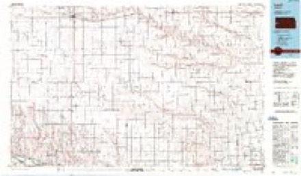
10 topographic sheets cover this place, the earliest surveyed in 1941 and the latest in 1987. It stands in Isbel Township. It lies in ZIP code area 67863. The Survey maps it on the Modoc quadrangle.
Topographic sheets covering this place
7 surveys from 10 printed sheetsMatched by testing this settlement's coordinate against the published boundary of every sheet in the United States Geological Survey's historical collection. Each opens the scanned sheet at the Survey.
- 1941 USGS Modoc quadrangle1:62500
- 1951 USGS Modoc quadrangle1:62500
- 1955 USGS Scott City quadrangle1:250000, 4 printings
- 1958 USGS Scott City quadrangle1:250000
- 1976 USGS Modoc quadrangle1:24000
- 1985 USGS Leoti quadrangle1:100000
- 1987 USGS Leoti quadrangle1:100000
Storms near this place
60 of 61 shownRegional context, not property-specific evidence. The National Weather Service names Modoc in 61 storm reports between 1995 and 2025: 38 hail, 11 tornado, 10 thunderstorm wind, 1 flood. No death or injury is recorded in these reports. Each account below is quoted exactly as the forecast office filed it, from the NOAA Storm Events Database, and each date opens the federal record of that event.
| When | Event | Place named | Harm | What the report says |
|---|---|---|---|---|
| October 2017 | Tornado (EF1) | Modoc | $150,000 | Damage was done to irrigation sprinklers, power poles and trees. It was also well documented by video. |
| May 2025 | Tornado (EF2) | Modoc | - | Tornado began just south of State Highway 96, southwest of Modoc. The tornado traveled northeast and immediately snapped power poles along the highway. As it continued northeastward, some train cars were toppled just west of town. To the north end of Modoc, a mobile home had its roof ripped off. As the tornado continued tracking northeastward in open fields, it continued producing sporadic damage to power lines, a home, and pivot irrigation systems. The tornado dissipated just north of W Road 200. |
| August 2024 | Thunderstorm Wind | Modoc | - | Measured 66 mph wind gust 6 miles WNW of Friend, KS. |
| April 2020 | Thunderstorm Wind | Modoc | - | Power poles were blown down by the high wind. |
| April 2020 | Thunderstorm Wind | Modoc | - | Winds were estimated to be 60 to 70 MPH. |
| August 2020 | Thunderstorm Wind | Modoc | - | Winds were estimated to be 60 MPH. |
| October 2017 | Tornado (EF0) | Modoc | - | Only minor evidence of light damage but the tornado was well documented. |
| May 2016 | Tornado (EF0) | Modoc | - | A storm chaser with a television station reported the first tornado of the day. This tornado appeared to be a landspout but it was difficult to tell based on the distance from the chaser. |
| May 2016 | Tornado (EF0) | Modoc | - | This tornado appeared capable of producing at least EF1-EF2 damage. But it never hit anything. |
| April 2015 | Tornado (EF0) | Modoc | - | This landspout tornado was one of 4 observed at the same time and moved out of Wichita county. |
| April 2015 | Tornado (EF0) | Modoc | - | This was one of four landspout tornadoes that occurred concurrently. |
| October 2011 | Tornado (EF0) | Modoc | - | This tornado became wrapped in rain but did not strike anything to damage. |
| July 2010 | Flood | Modoc | - | There was an estimated 2 feet of water across Falcon road as White Woman creek overflowed it's banks. |
| June 2010 | Tornado (EF0) | Modoc | - | This was a second landspout that developed in the area. |
| June 2010 | Tornado (EF0) | Modoc | - | This tornado appeared to be rain wrapped from the vantage point of the law enforcement agency. |
| July 2010 | Heavy Rain | Modoc | - | Rainfall of 3 inches was measured. |
| July 2010 | Thunderstorm Wind | Modoc | - | Winds were estimated to be 60 mph. |
| July 2010 | Thunderstorm Wind | Modoc | - | Winds were estimated to be 60 mph. |
| May 2008 | Hail | Modoc | - | Dime and nickel sized hail covered the ground. |
| June 2006 | Thunderstorm Wind | Modoc | - | Ten power poles were sheared off. |
| June 1999 | Hail | Modoc | - | Broke windows out of a patrol car. |
| June 1999 | Tornado (F0) | Modoc | - | Reported by law enforcement. |
| May 1998 | Hail | Modoc | - | Hail completely covered the ground. |
| July 2023 | Hail | Modoc | - | no account filed |
| July 2023 | Hail | Modoc | - | no account filed |
| May 2021 | Hail | Modoc | - | no account filed |
| May 2021 | Hail | Modoc | - | no account filed |
| July 2020 | Hail | Modoc | - | no account filed |
| June 2018 | Hail | Modoc | - | no account filed |
| June 2017 | Hail | Modoc | - | no account filed |
| June 2017 | Hail | Modoc | - | no account filed |
| June 2017 | Hail | Modoc | - | no account filed |
| May 2016 | Hail | Modoc | - | no account filed |
| June 2015 | Hail | Modoc | - | no account filed |
| November 2015 | Hail | Modoc | - | no account filed |
| June 2014 | Hail | Modoc | - | no account filed |
| June 2014 | Hail | Modoc | - | no account filed |
| May 2013 | Hail | Modoc | - | no account filed |
| May 2013 | Hail | Modoc | - | no account filed |
| May 2012 | Hail | Modoc | - | no account filed |
| June 2010 | Hail | Modoc | - | no account filed |
| June 2010 | Hail | Modoc | - | no account filed |
| June 2008 | Hail | Modoc | - | no account filed |
| May 2008 | Hail | Modoc | - | no account filed |
| May 2008 | Hail | Modoc | - | no account filed |
| May 2008 | Hail | Modoc | - | no account filed |
| June 2004 | Thunderstorm Wind | Modoc | - | no account filed |
| June 2003 | Hail | Modoc | - | no account filed |
| June 2003 | Hail | Modoc | - | no account filed |
| June 2003 | Hail | Modoc | - | no account filed |
| April 2001 | Thunderstorm Wind | Modoc | - | no account filed |
| July 1999 | Hail | Modoc | - | no account filed |
| May 1999 | Hail | Modoc | - | no account filed |
| June 1998 | Hail | Modoc | - | no account filed |
| June 1998 | Hail | Modoc | - | no account filed |
| May 1998 | Hail | Modoc | - | no account filed |
| May 1998 | Hail | Modoc | - | no account filed |
| June 1997 | Hail | Modoc | - | no account filed |
| July 1997 | Hail | Modoc | - | no account filed |
| July 1996 | Thunderstorm Wind | Modoc | - | no account filed |
Nearest settlements
The eight closest, with where each one stands in the county. Distances are straight-line, computed from the Geographic Names Information System coordinates.
| Map | Place | Distance | Sheets |
|---|---|---|---|
| Scott City | 9.3 miles | 10 | |
| Hutchins | 9.4 miles | 10 | |
| Pence | 11.7 miles | 12 | |
| Shallow Water | 11.9 miles | 10 | |
| Chevron | 15.1 miles | 10 | |
| Grigston | 19.3 miles | 8 | |
| Manning | 19.6 miles | 8 |
Elsewhere
Matched on this settlement's Geographic Names Information System number rather than its name, so it cannot be a different place of the same name in another state.
| Wikipedia article on Modoc | An encyclopaedic summary. Its text is share-alike, so it is linked here rather than copied. |
| Wikidata item Q6889543 | The structured record the population and elevation above come from. Public domain (CC0). |
Provenance
This settlement is recorded in the Geographic Names Information System as feature 471504. The sheet list is computed by point-in-boundary test against the United States Geological Survey's historical topographic inventory. Both are works of the United States government and carry no copyright under 17 U.S.C. 105.
Storms. NOAA National Centers for Environmental Information, Storm Events Database https://www.ncei.noaa.gov/stormevents/ A work of the United States government, no copyright under 17 U.S.C. 105. Narratives are quoted verbatim from the National Weather Service report and are not edited or summarised.