 Block
Tice, Kansas
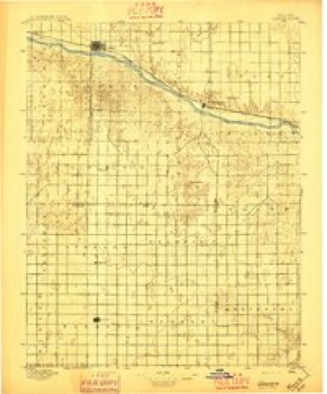
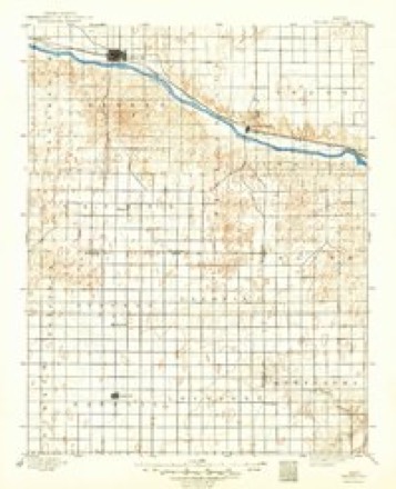
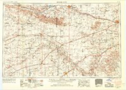
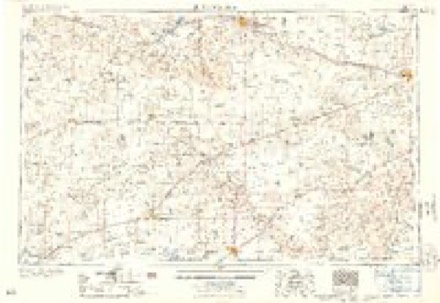
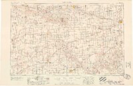
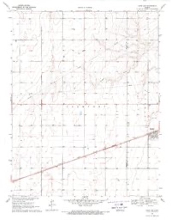
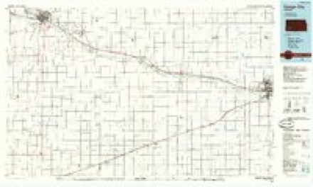
12 topographic sheets cover this place, the earliest surveyed in 1896 and the latest in 1985. It stands in Lockport Township. It lies in ZIP code area 67877. The Survey maps it on the Copeland quadrangle.
Topographic sheets covering this place
7 surveys from 12 printed sheetsMatched by testing this settlement's coordinate against the published boundary of every sheet in the United States Geological Survey's historical collection. Each opens the scanned sheet at the Survey.
- 1896 USGS Garden quadrangle1:125000, 2 printings
- 1896 USGS Garden City quadrangle1:125000, 2 printings
- 1955 USGS Dodge City quadrangle1:250000, 3 printings
- 1958 USGS Dodge City quadrangle1:250000
- 1959 USGS Dodge City quadrangle1:250000
- 1969 USGS Copeland quadrangle1:24000
- 1985 USGS Dodge City quadrangle1:100000, 2 printings
Storms near this place
60 of 80 shownRegional context, not property-specific evidence. The National Weather Service names Tice in 80 storm reports between 1995 and 2025: 53 hail, 17 thunderstorm wind, 6 tornado, 3 heavy rain. No death or injury is recorded in these reports. Each account below is quoted exactly as the forecast office filed it, from the NOAA Storm Events Database, and each date opens the federal record of that event.
| When | Event | Place named | Harm | What the report says |
|---|---|---|---|---|
| May 2001 | Thunderstorm Wind | Tice | $500,000 | One-hundred pivot irrigation sprinklers were damaged or destroyed in and around the county from the high wind. |
| June 2009 | Tornado (EF1) | Tice | $250,000 | This tornado moved rapidly east and then northeast. It damaged the Sublette feeders (grain elevator and equipment) and then overturned 3 pivot sprinklers, damaged trees and other irrigation pipe. The vortex was evident in the crop debris at two locations. |
| October 2011 | Tornado (EF1) | Tice | $8,000 | This small tornado developed on the leading edge of convection and had a local area of intense inflow that helped generate the tornado. A shed was severely damaged and a large pine tree was uprooted. |
| June 2009 | Tornado (EF1) | Tice | $1,500 | This tornado crossed highway 56 near the Tice elevator. A metal shed was damaged and several power poles were broken. Winds were estimated at 90 mph. |
| June 2025 | Thunderstorm Wind | Tice | - | Measured by a Prairie AG weather station. |
| June 2023 | Hail | Tice | - | Measured a 3.25 inch hailstone. |
| June 2023 | Thunderstorm Wind | Tice | - | Wind Damage report form 3 WNW of Tice. 3 pivot sprinklers blown over and 13 power poles down. |
| May 2021 | Hail | Tice | - | The hail was mostly dime sized but there were a few quarter sized pieces observed. |
| June 2018 | Thunderstorm Wind | Tice | - | A portion of a roof on new construction was destroyed by high wind. Also, several irrigation sprinklers in the vicinity were rolled by the high wind. |
| July 2016 | Thunderstorm Wind | Tice | - | There was considerable tree damage. |
| July 2015 | Thunderstorm Wind | Tice | - | Winds were estimated to be 60 MPH. |
| May 2015 | Tornado (EF0) | Tice | - | This was the first of 5 landspout tornadoes that occurred along a convergence area. |
| August 2013 | Thunderstorm Wind | Tice | - | Winds were estimated to be at least 60 MPH. |
| July 2013 | Thunderstorm Wind | Tice | - | Winds were estimated to be 65 MPH. |
| July 2012 | Heavy Rain | Tice | - | Rainfall of 5.00 was observed. |
| July 2012 | Flood | Tice | - | Water was flowing across many roads but they were all passable. |
| July 2012 | Heavy Rain | Tice | - | Rainfall of 5.50 was observed. |
| October 2011 | Thunderstorm Wind | Tice | - | A barn was destroyed by the high wind. |
| June 2010 | Thunderstorm Wind | Tice | - | Winds were estimated to be 60 MPH. |
| August 2009 | Hail | Tice | - | The hail was mostly smaller than golf balls and it lasted for 10 minutes. |
| June 2009 | Hail | Tice | - | The hail covered the ground. |
| June 2009 | Thunderstorm Wind | Tice | - | A semi-trailer truck was blown over at the intersection of Highway 83 and mile marker 48. |
| August 2009 | Thunderstorm Wind | Tice | - | The wind was estimated to be from 60 to 70 mph. There was also half inch diameter hail and 3/4 of a inch of rain. |
| April 2009 | Tornado (EF0) | Tice | - | This tornado moved out of Finney county and damaged a few tree branches before dissipating. |
| September 2006 | Heavy Rain | Tice | - | 4.50: of rain fell. |
| June 2005 | Hail | Tice | - | Across Haskell county, 35 farm out buildings were damaged and 45,000 acres of crops were destroyed. |
| July 2000 | Thunderstorm Wind | Tice | - | High wind brought down numerous healthy 2 inch limbs. Fifty percent of the corn in the area was stipped. |
| July 2000 | Thunderstorm Wind | Tice | - | Combined with hail, completely stipped the corn. |
| July 2000 | Hail | Tice | - | Combined with wind, completely stipped the corn. |
| March 2024 | Hail | Tice | - | no account filed |
| June 2023 | Hail | Tice | - | no account filed |
| June 2023 | Hail | Tice | - | no account filed |
| April 2022 | Hail | Tice | - | no account filed |
| May 2020 | Hail | Tice | - | no account filed |
| June 2020 | Hail | Tice | - | no account filed |
| June 2019 | Hail | Tice | - | no account filed |
| June 2019 | Hail | Tice | - | no account filed |
| August 2019 | Hail | Tice | - | no account filed |
| July 2018 | Hail | Tice | - | no account filed |
| July 2018 | Hail | Tice | - | no account filed |
| June 2018 | Hail | Tice | - | no account filed |
| June 2017 | Hail | Tice | - | no account filed |
| August 2017 | Hail | Tice | - | no account filed |
| October 2017 | Hail | Tice | - | no account filed |
| May 2015 | Hail | Tice | - | no account filed |
| June 2014 | Hail | Tice | - | no account filed |
| June 2014 | Hail | Tice | - | no account filed |
| June 2010 | Hail | Tice | - | no account filed |
| May 2010 | Hail | Tice | - | no account filed |
| May 2010 | Hail | Tice | - | no account filed |
| May 2010 | Hail | Tice | - | no account filed |
| May 2010 | Hail | Tice | - | no account filed |
| August 2009 | Hail | Tice | - | no account filed |
| June 2009 | Hail | Tice | - | no account filed |
| August 2009 | Hail | Tice | - | no account filed |
| August 2009 | Hail | Tice | - | no account filed |
| August 2009 | Hail | Tice | - | no account filed |
| June 2009 | Hail | Tice | - | no account filed |
| June 2009 | Hail | Tice | - | no account filed |
| April 2009 | Hail | Tice | - | no account filed |
Nearest settlements
The eight closest, with where each one stands in the county. Distances are straight-line, computed from the Geographic Names Information System coordinates.
Provenance
This settlement is recorded in the Geographic Names Information System as feature 484580. The sheet list is computed by point-in-boundary test against the United States Geological Survey's historical topographic inventory. Both are works of the United States government and carry no copyright under 17 U.S.C. 105.
Storms. NOAA National Centers for Environmental Information, Storm Events Database https://www.ncei.noaa.gov/stormevents/ A work of the United States government, no copyright under 17 U.S.C. 105. Narratives are quoted verbatim from the National Weather Service report and are not edited or summarised.