 Block
From the record
7 National Register listings published here.
Sources: the county history on the Internet Archive · the National Register database, National Park Service
85 topographic sheets and 7 fire insurance atlases across 1 place.
7 National Register listings published here.
Sources: the county history on the Internet Archive · the National Register database, National Park Service
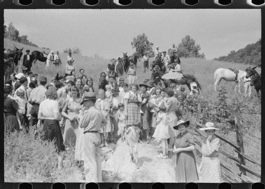
Taken for the Office of War Information and the Farm Security Administration, who photographed the country between 1935 and 1944. Works of United States government photographers, with no known restriction on use. Each opens its catalogue record.

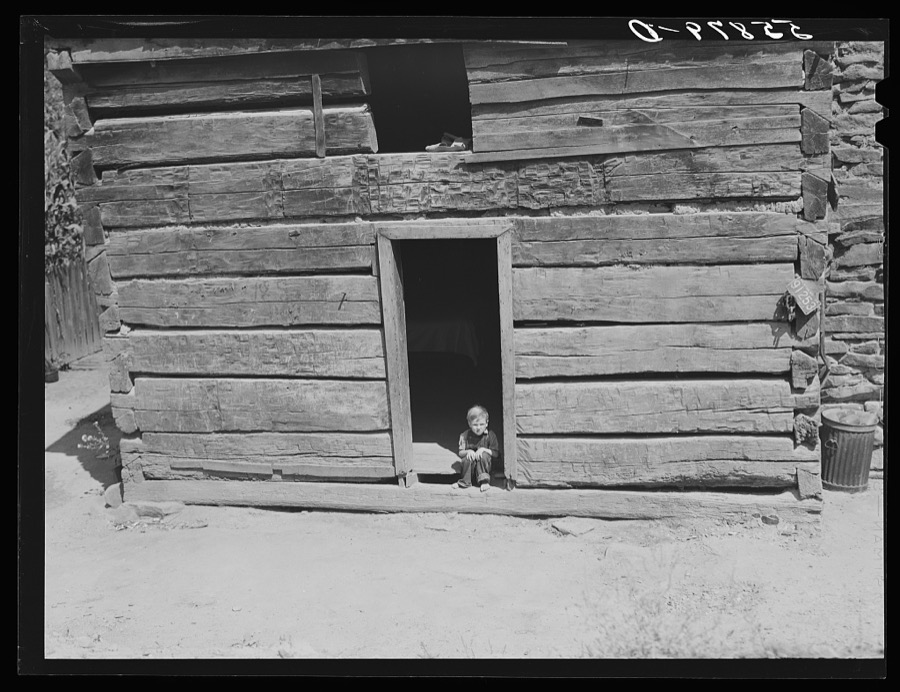


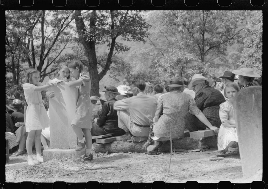
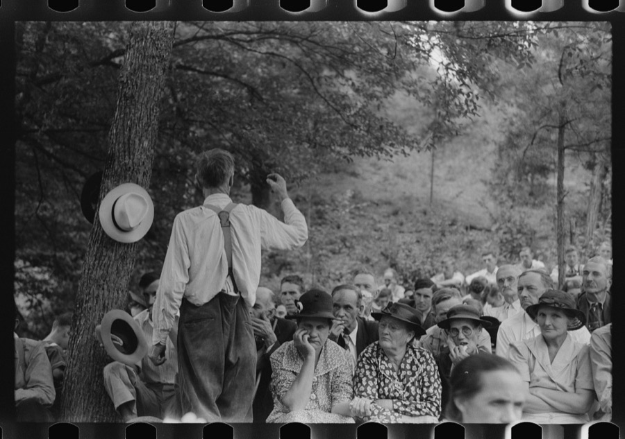

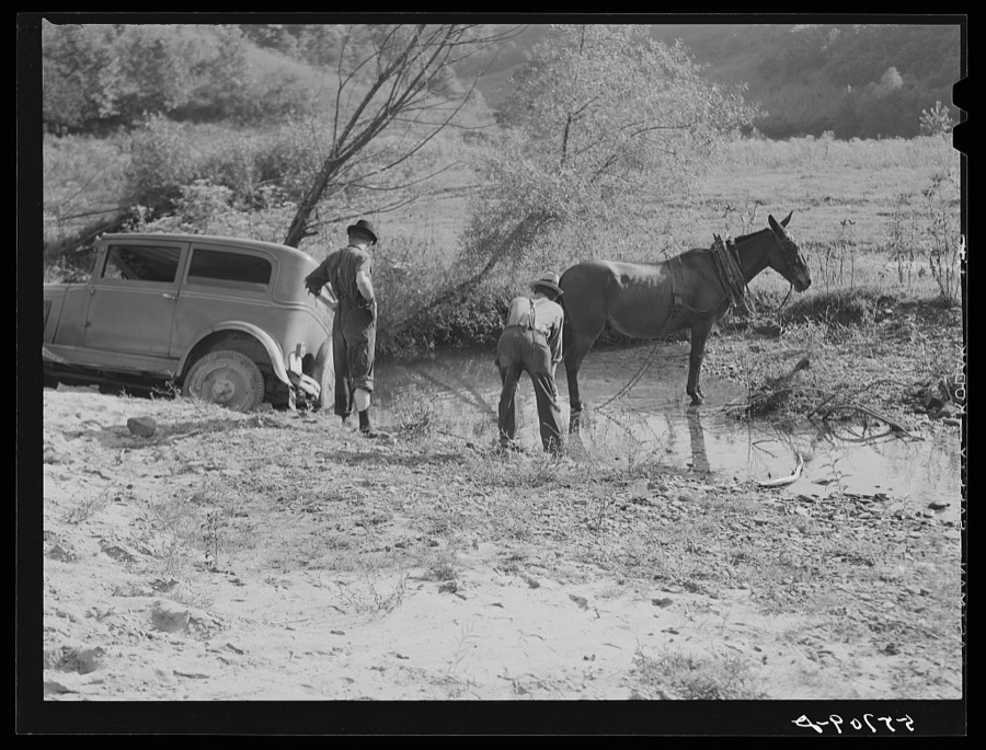
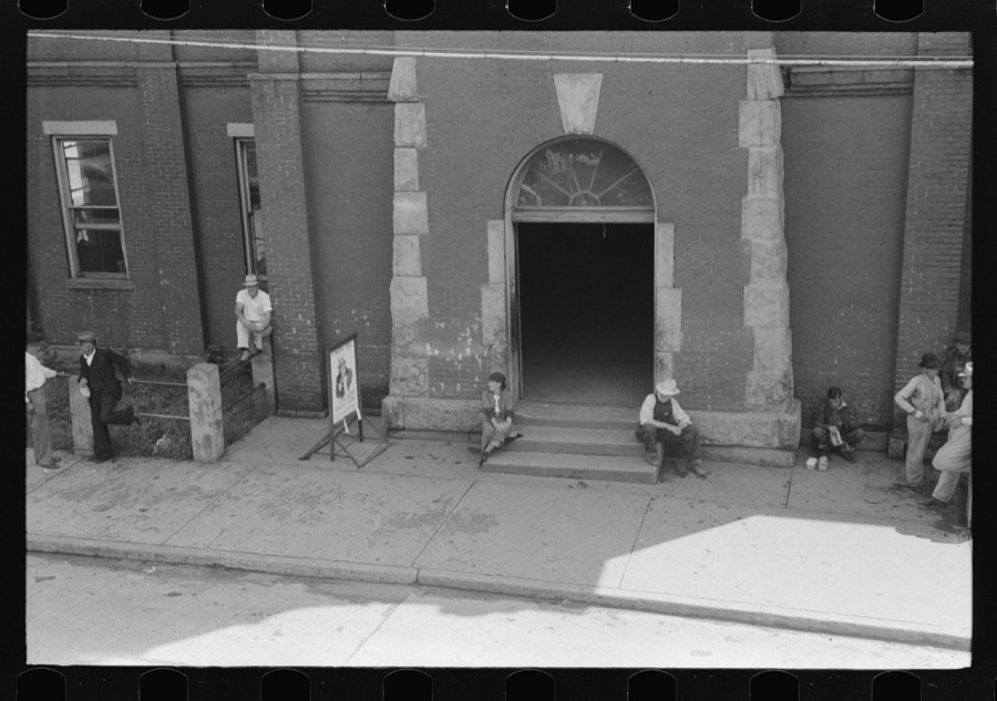

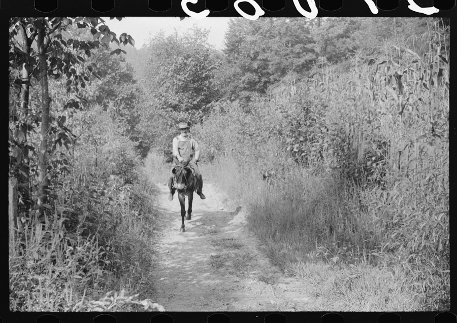
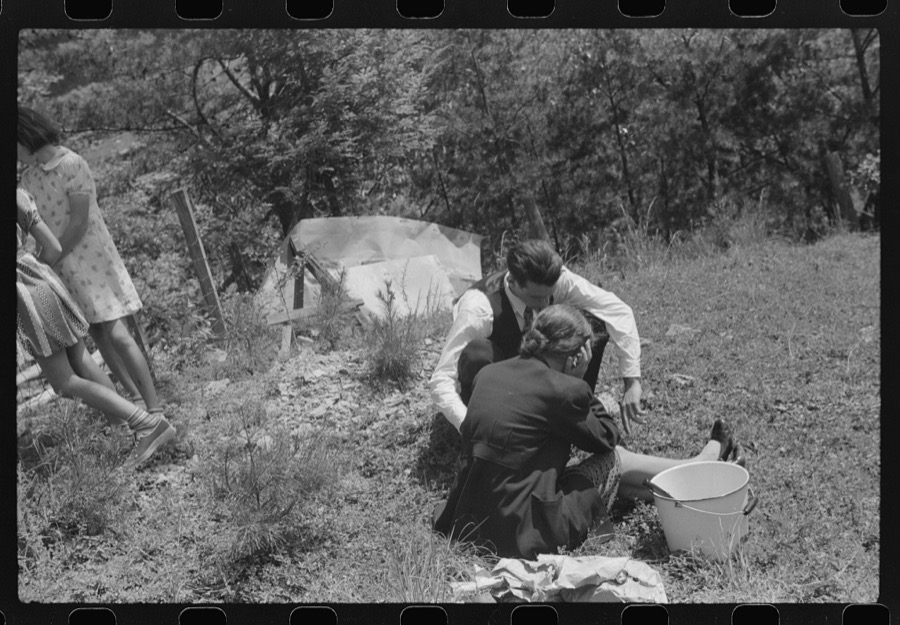

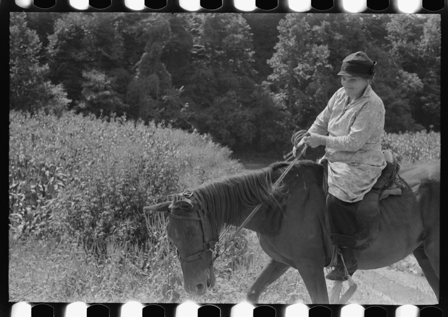

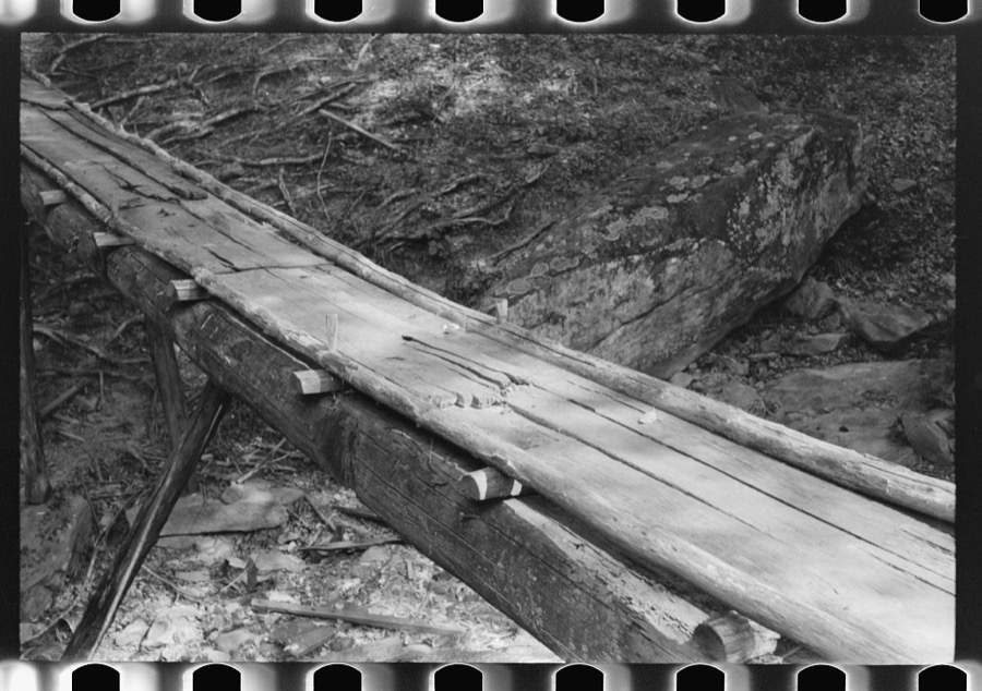




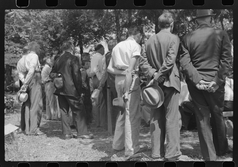
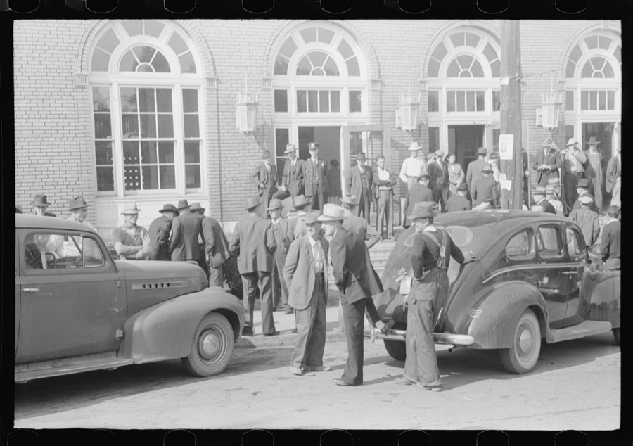
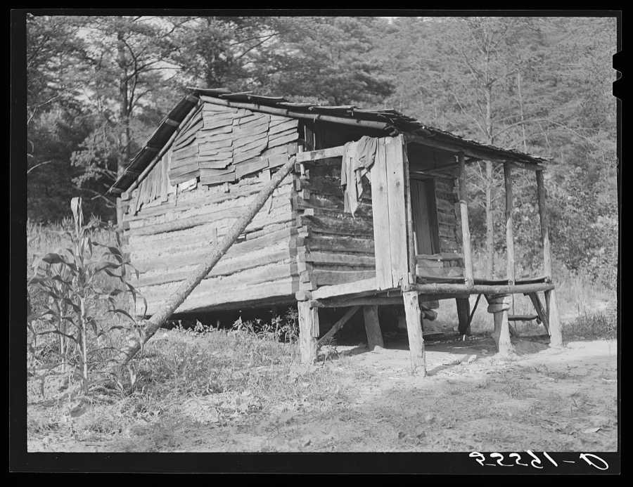
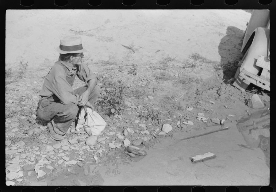
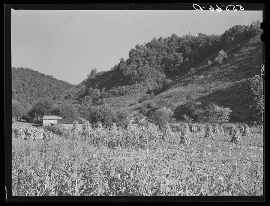
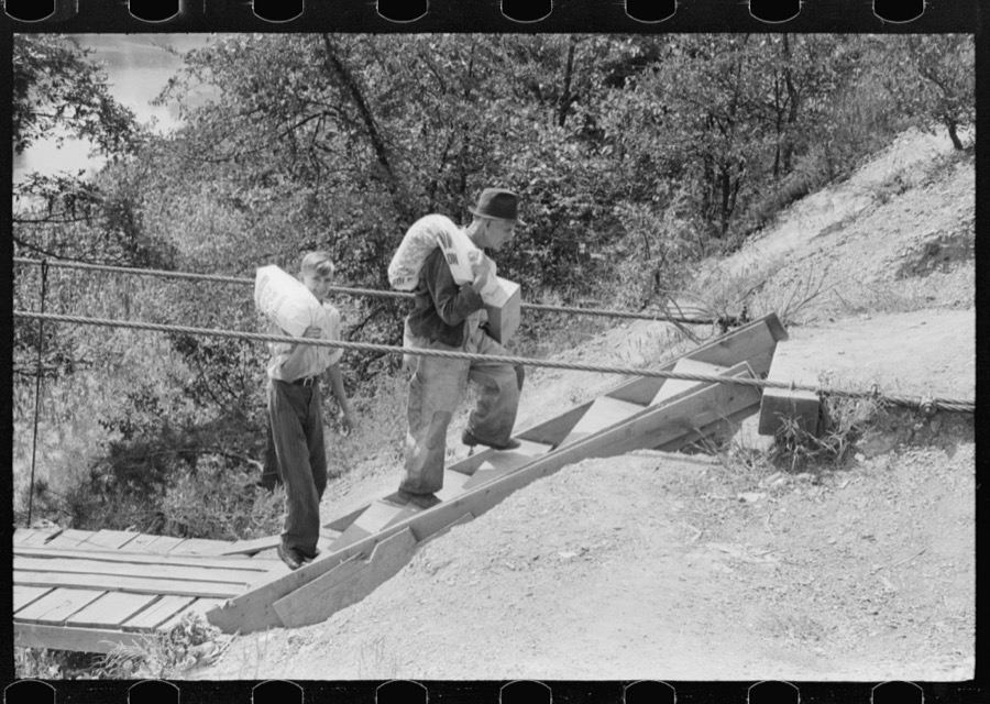
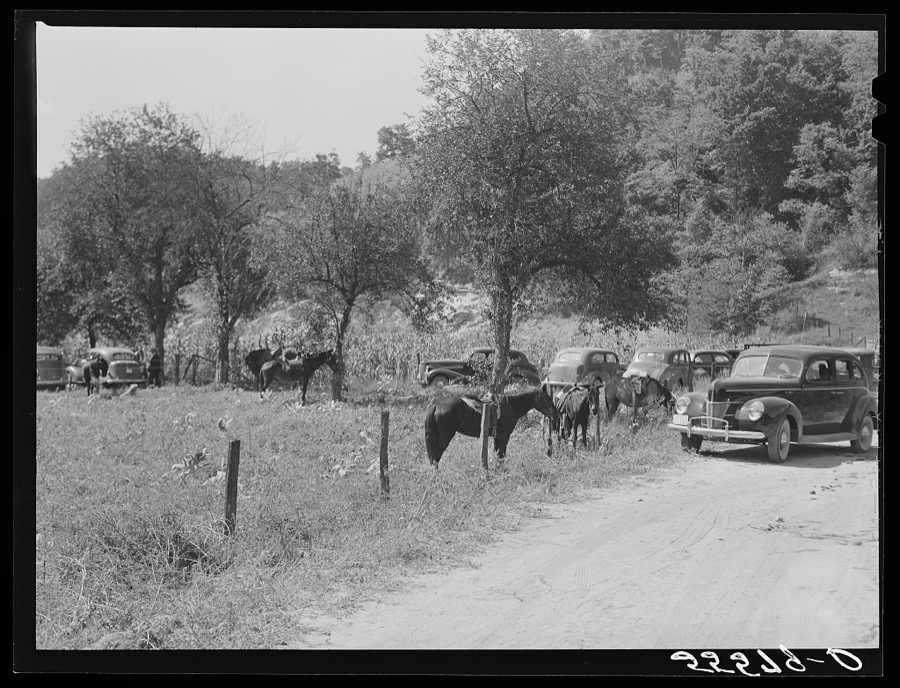

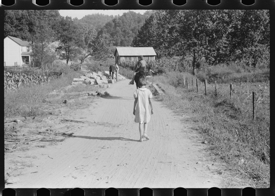

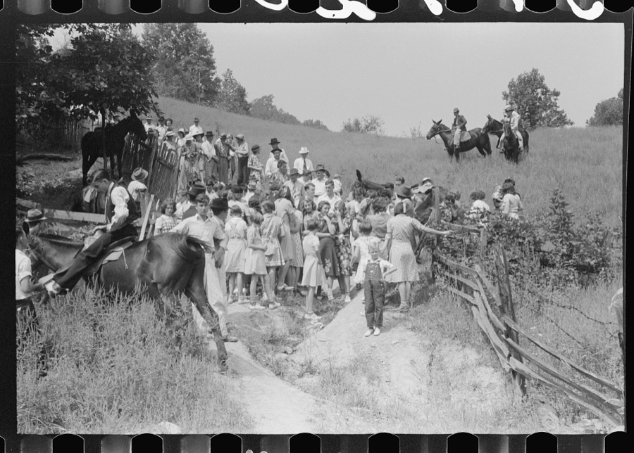
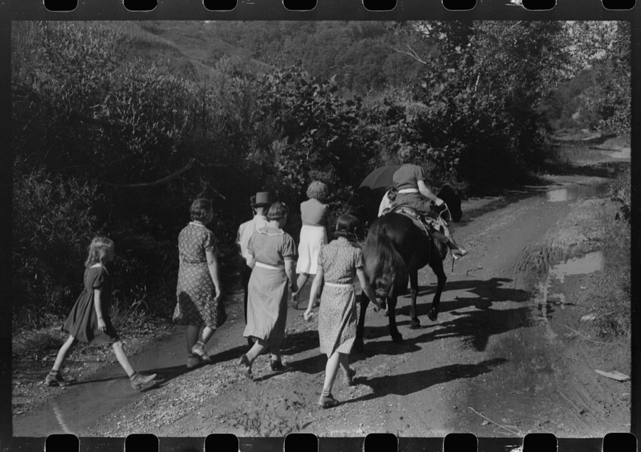
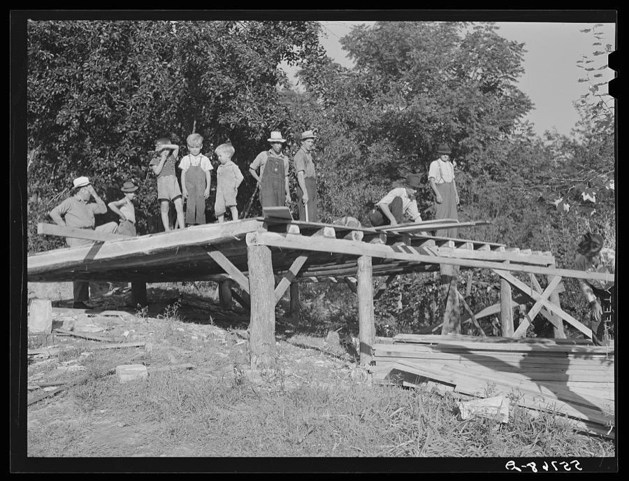

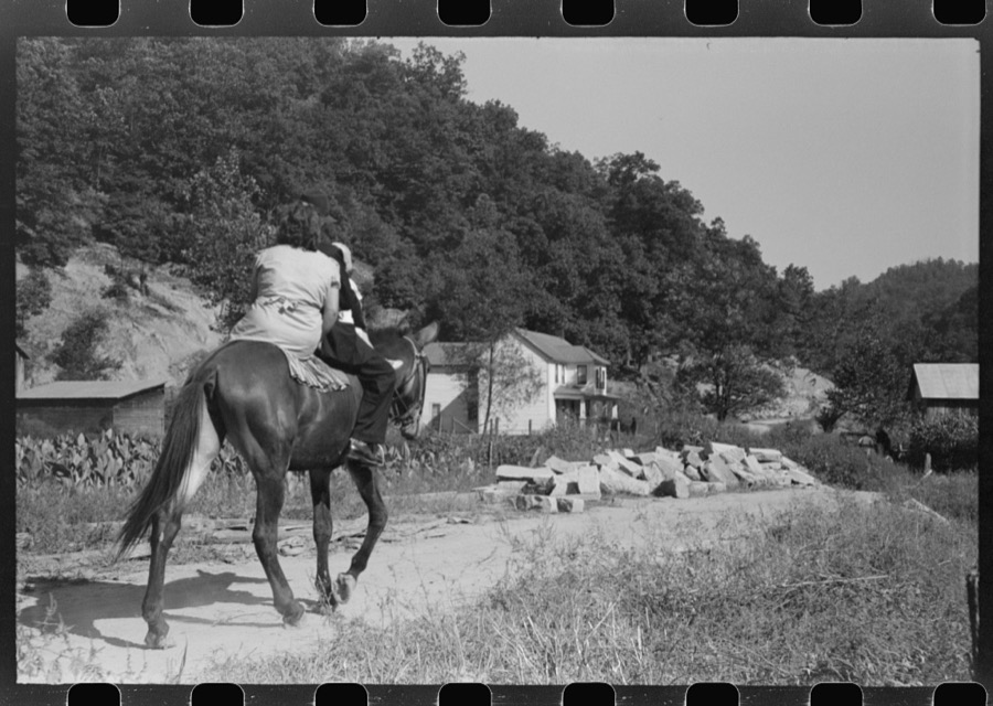
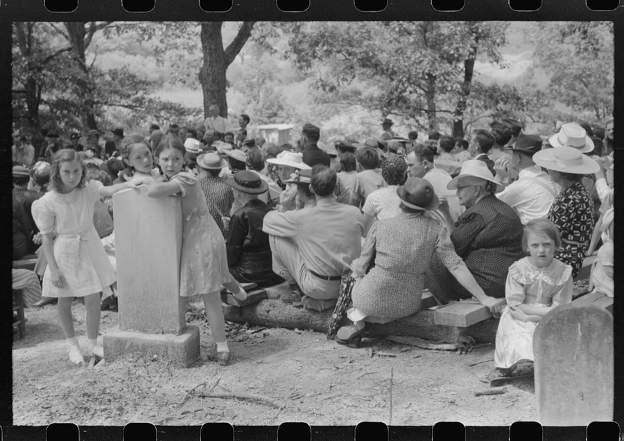
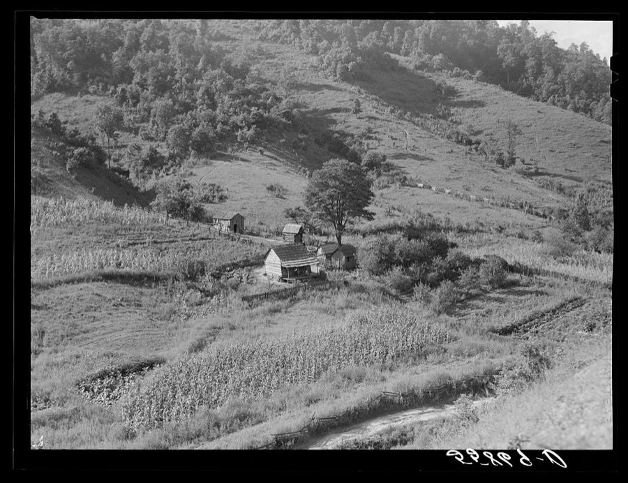
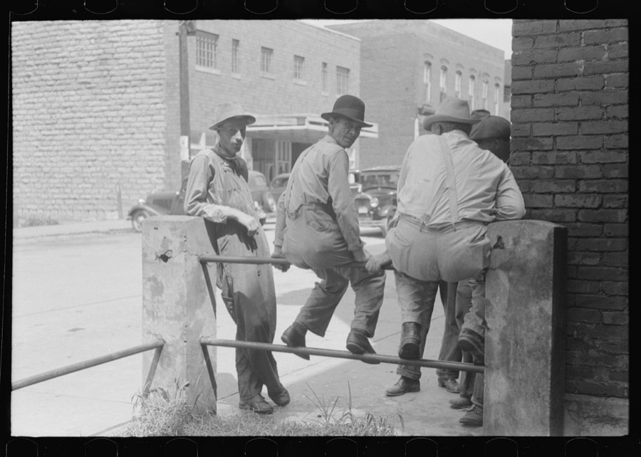
Every property in this county listed on the National Register of Historic Places, with the year it was listed and the federal nomination document.
| Photograph | Property | Type | Listed | Reference |
|---|---|---|---|---|
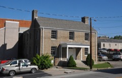 | Breathitt County Jail | building | 1986 | 86000271 |
| Crain's Wholesale and Retail Store | building | 1986 | 86000272 | |
 | Jackson Commercial District | district | 1986 | 86000284 |
 | Jackson Post Office | building | 1990 | 90001087 |
 | M. E. Church, South | building | 1986 | 86000280 |
| Morris Fork Presbyterian Church and Community Center | building | 2010 | 10000908 | |
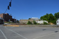 | Stacey Hotel | building | 1986 | 86000282 |
Sampled issues, machine-read from the Library of Congress scan and published page by page, so every headline and column is searchable text.
Jackson, Ky., 190? to 19??. Machine-read from the Library of Congress scan.
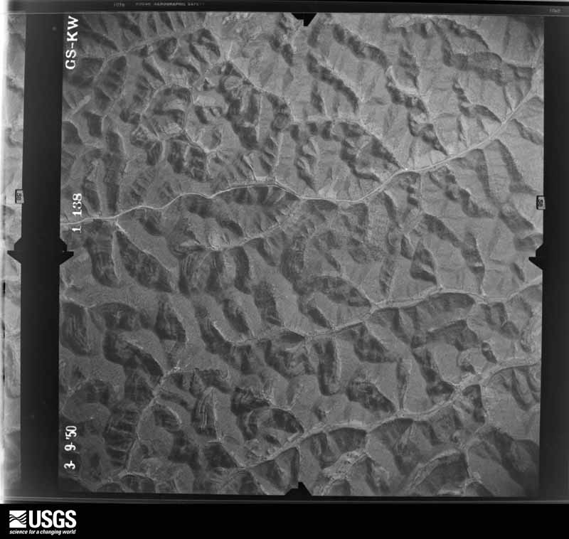
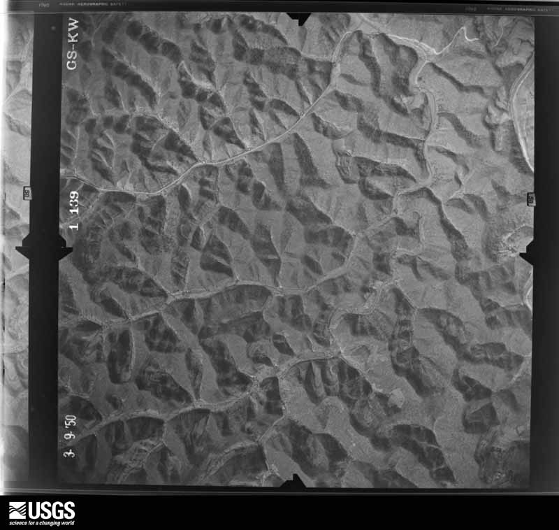
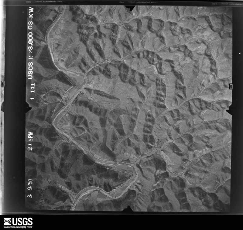
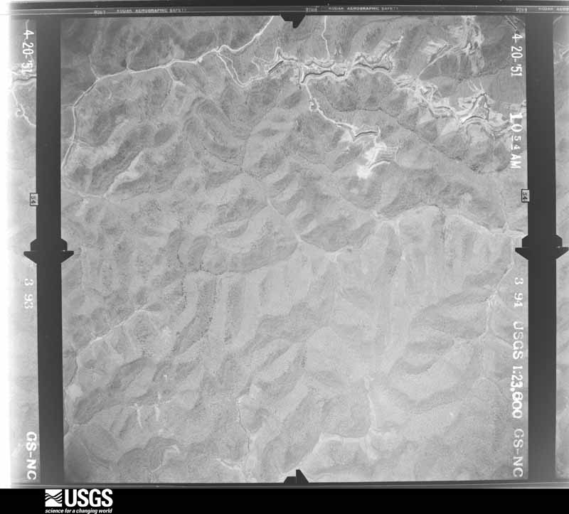
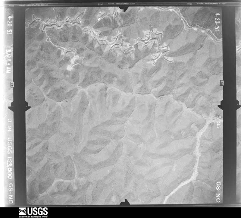
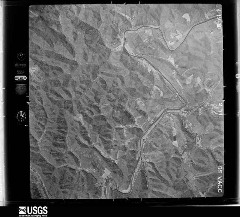
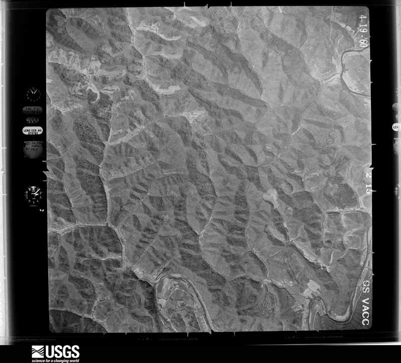
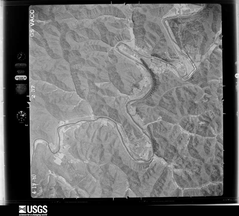
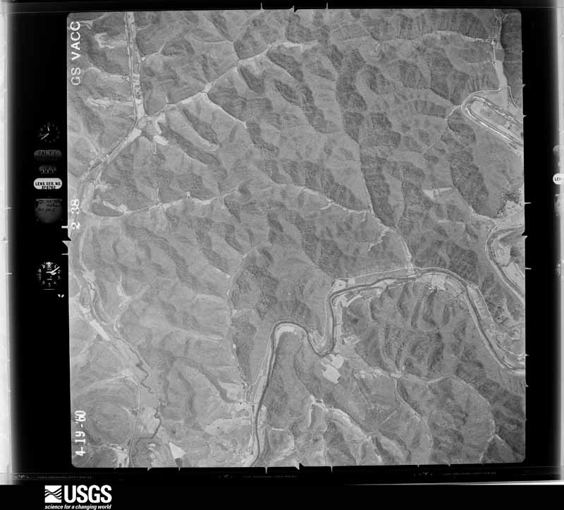
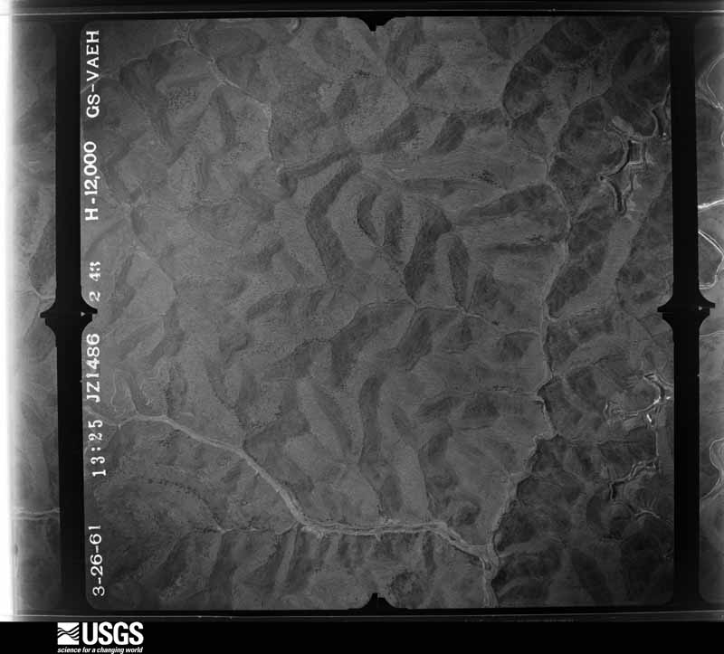
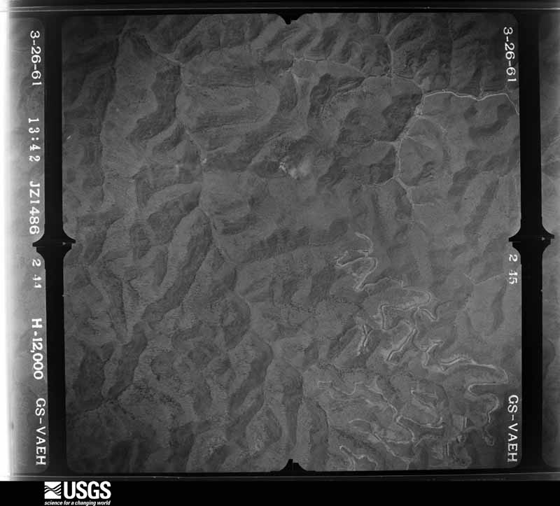
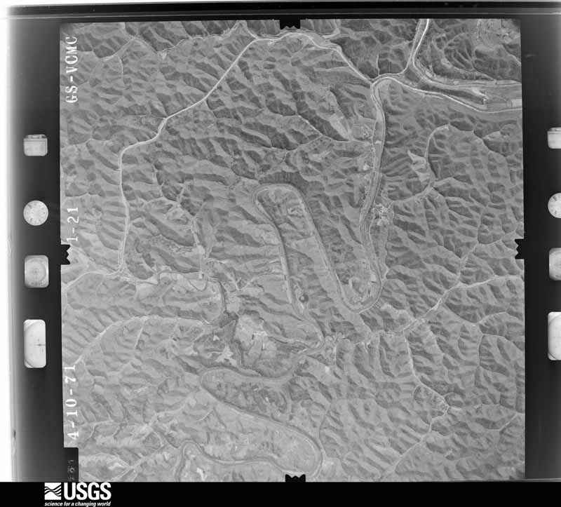
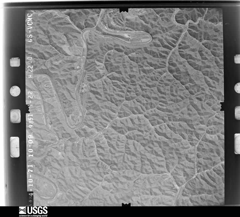
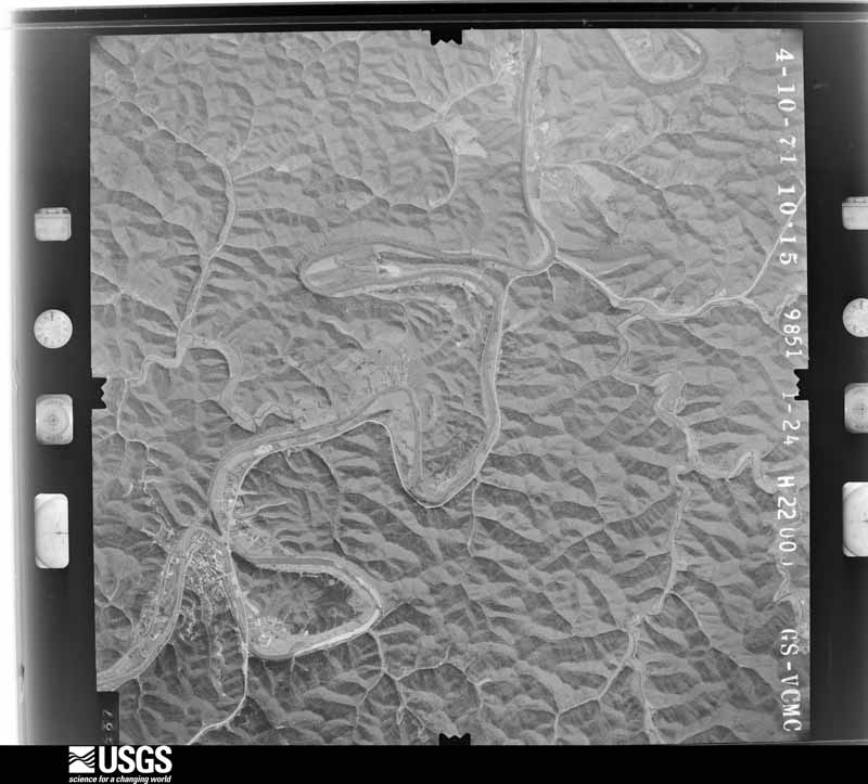
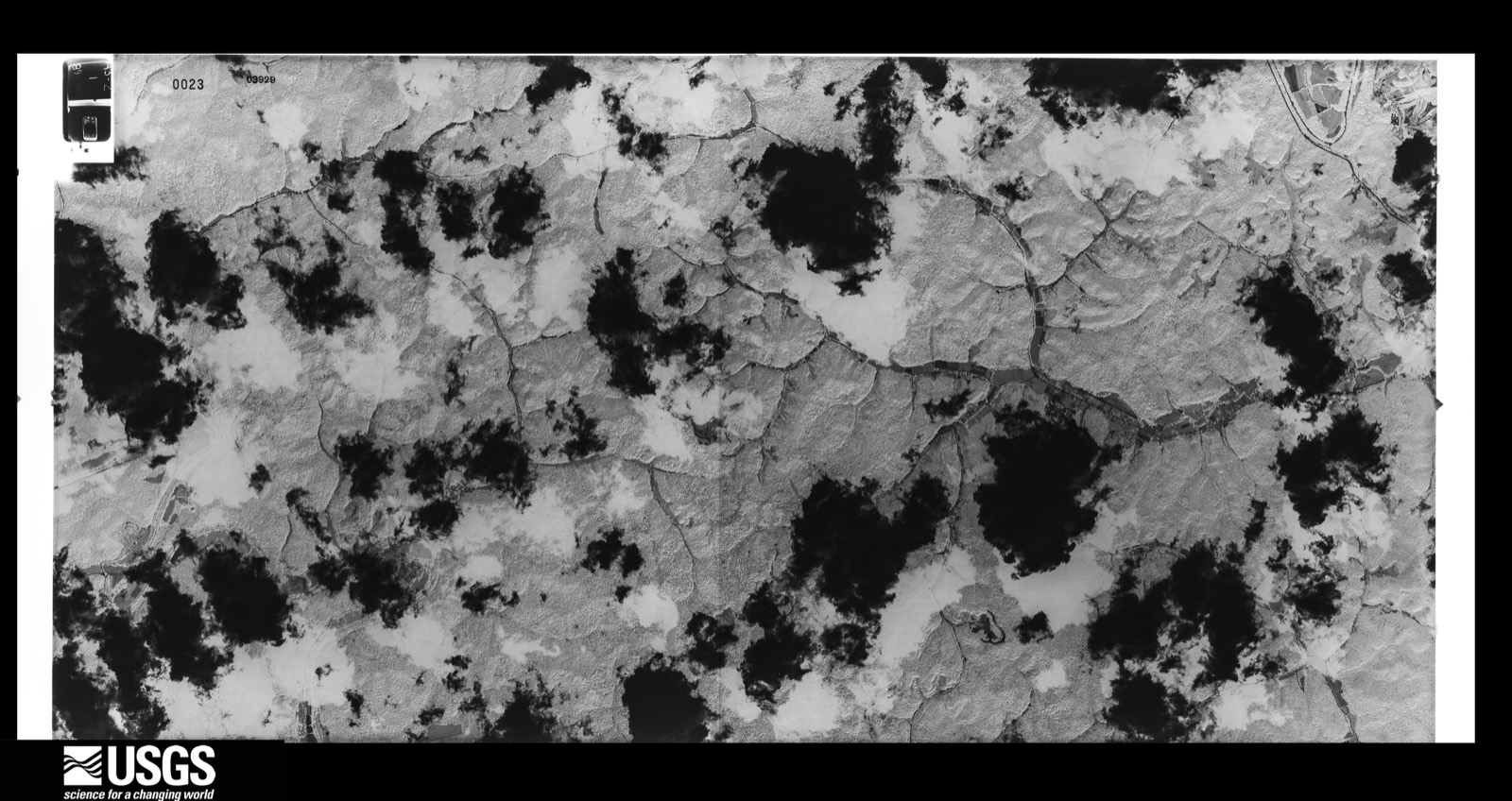
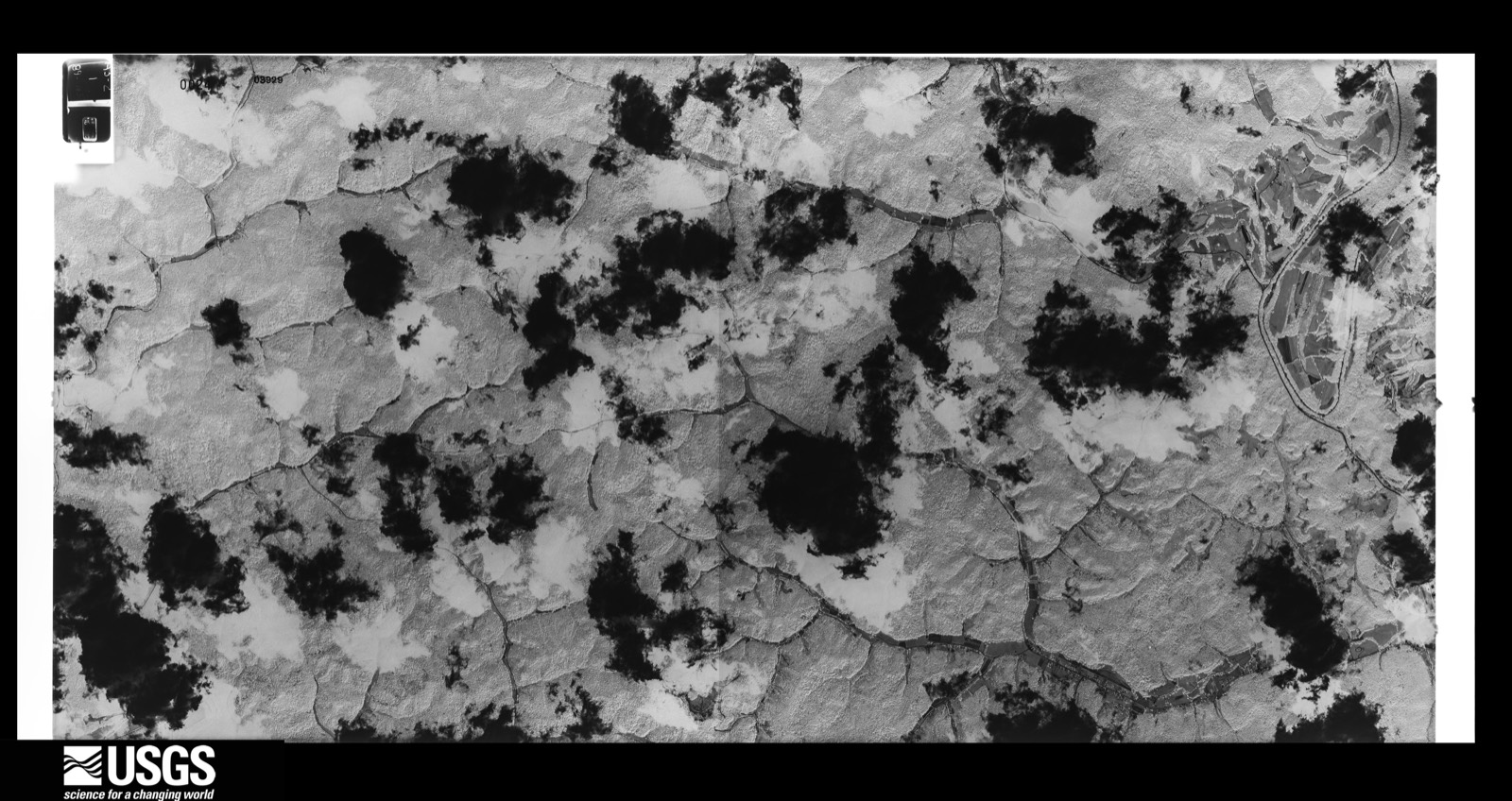
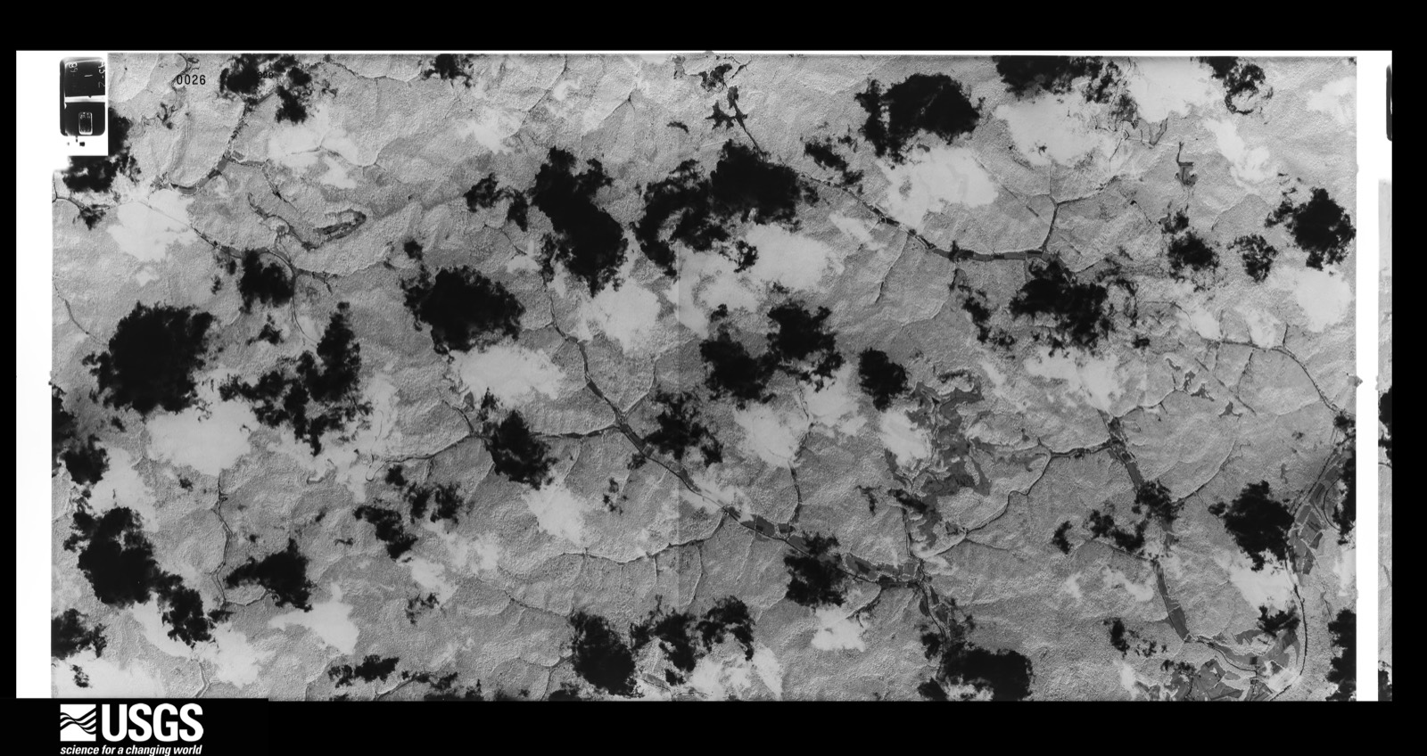
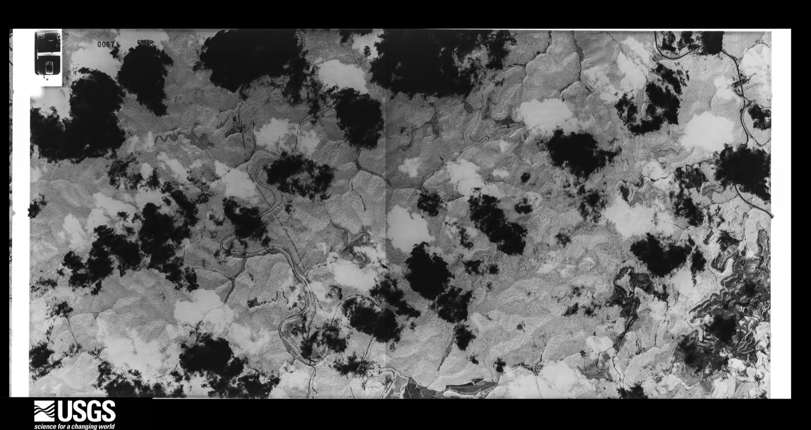
Flown by the U.S. Geological Survey between 1937 and 1989, the Aerial Photo Single Frames collection is the definitive mid-century view of the land: fields, roads and rivers as the camera saw them. The Survey holds 1,104 frames inside the rectangle that bounds this county; the 40 frames below were taken over the county itself, chosen across the decades of flights (at most four a year from that rectangle), so one flight cannot crowd out the rest. The full set is free to browse and download at EarthExplorer under the dataset Aerial Photo Single Frames.

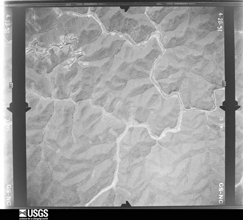


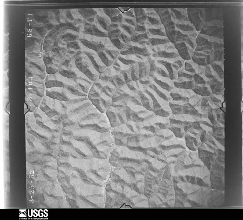
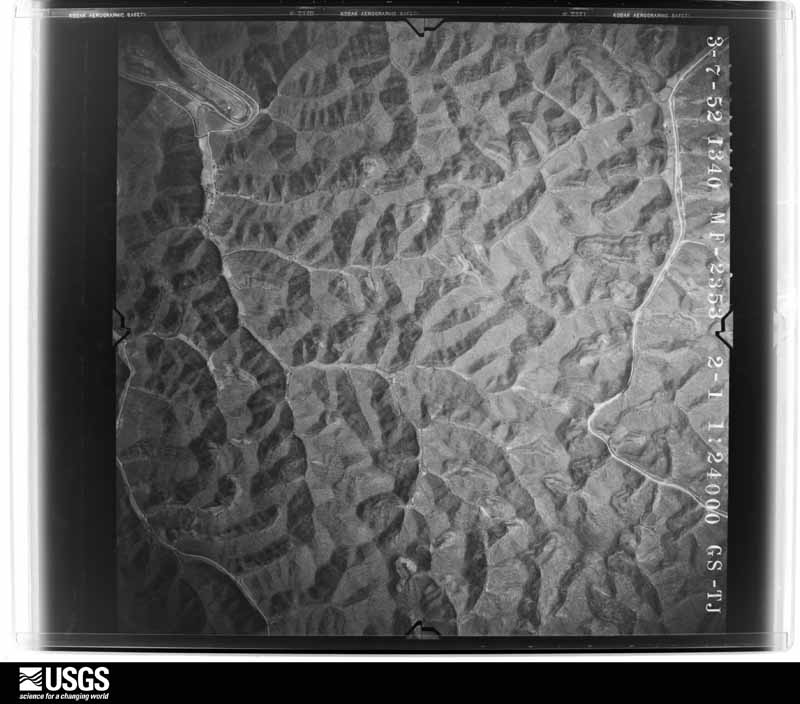
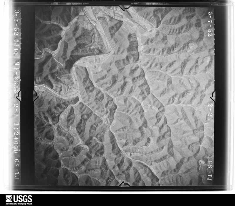















The thermometers that kept this county's weather, and the gages that measured the flow of its streams, as the federal records hold them. The extremes below are measured values from those records, not estimates.
Who lived here in 1950, one enumeration district at a time, as the Census Bureau described each district. Each row opens its official National Archives result, with Population Schedules and ED Maps available there.
Every wildfire the federal occurrence database records inside this county: 980 of them, burning about 58,607 acres. None started naturally and 226 were recorded as arson. Each settlement page carries the fires within five miles of it.
| Reported cause | Fires |
|---|---|
| Debris and open burning | 453 |
| Missing data/not specified/undetermined | 229 |
| Arson/incendiarism | 226 |
| Recreation and ceremony | 56 |
| Misuse of fire by a minor | 6 |
| Railroad operations and maintenance | 5 |
| Equipment and vehicle use | 4 |
| Smoking | 1 |
The five largest, by the area the report gives. Five of them were set deliberately.
| Date | Cause | Size | Reported by | Name on the report |
|---|---|---|---|---|
| 12 November 1999 | Arson/incendiarism | 3,000 acres | Kentucky Division of Forestry | not named |
| 11 November 1999 | Arson/incendiarism | 2,500 acres | Kentucky Division of Forestry | not named |
| 2 November 2016 | Debris and open burning | 2,200 acres | Kentucky Division of Forestry | EAGLES NEST |
| 18 November 2001 | Arson/incendiarism | 2,000 acres | Kentucky Division of Forestry | not named |
| 28 November 2005 | Missing data/not specified/undetermined | 1,500 acres | Kentucky Division of Forestry | MORRIS FORK |
| 31 October 2001 | Arson/incendiarism | 1,500 acres | Kentucky Division of Forestry | not named |
| 9 November 1999 | Arson/incendiarism | 1,200 acres | Kentucky Division of Forestry | not named |
| 2 March 2006 | Missing data/not specified/undetermined | 1,182 acres | Kentucky Division of Forestry | not named |
Every settlement page carries the fires within five miles of it - see the settlement index below.
The NOAA Storm Events Database holds 566 reports for this county, causing 13 deaths, 9 injuries and about $3,050,300 in recorded property damage. Each settlement page carries the reports that name it.
| Kind of event | Reports |
|---|---|
| Thunderstorm Wind | 311 |
| Hail | 91 |
| Flash Flood | 80 |
| Flood | 47 |
| Heavy Rain | 29 |
| Tornado | 4 |
| Debris Flow | 3 |
| Lightning | 1 |
The most serious of them, by death, then injury, then recorded damage. The accounts are quoted exactly as the forecast office filed them.
| When | Event | Place named | Harm | What the report says |
|---|---|---|---|---|
| July 2022 | Flash Flood | Lambric | 10 killed | Multiple reports of flash flooding were received across southern Breathitt County during the overnight hours of the 27th into the 28th. These are some of the reports that were made:||10:48 PM EST - A bridge was washed out along Bowling Creek Road near Altro.|10:50 PM EST - Flash flooding was reported near the community of Barwick. |10:56 PM EST - Water was flowing over the road and impacting a bridge on Bowlings Creek Road. (Same as 10:48 PM report).|11:07 PM EST - Pictures on social media show considerable flash flooding along Bowling Creek Road near Altro and the Breathitt/Perry County Line.|11:36 PM EST - Destructive flash flooind was observed at the Altro Church of God. |12:10 AM EST - Flood waters have washed out culverts and destroyed the road on Joe Little Fork Road in the Canoe area of Breathitt County.|12:15 AM EST - (Same as above) Flash flood waters have reportedly washed out culverts along Joe Little Fork Road. |3:08 AM EST - Joe Little Road reportedly received a second flash flood.|6:00 AM EST - Pictures on social media show multiple homes swept away by flash flood waters along Lost Creek, adjacent to the intersection of KY-15 and Lost Creek-Dice Road.|6:00 AM EST - Picture on social media shows 2 homes caught in flash flood waters at Nobles Landing along Troublesome Creek. |
| February 2003 | Tornado (F1) | Oakdale | 2 killed, 7 hurt, $300,000 | A large swath of downburst winds, nearly 450 yards wide, swept through the damaged area. Embedded in these winds was an F1 tornado, with winds between 100 and 112 mile per hour. At least five trailer homes were completely destroyed along with several other structures including tobacco barns and outbuildings. Twelve cars were also destroyed in a car lot. Numerous trees were down or uprooted. Two people died as a result of injuries from their mobile homes being tossed off of the ground. |
| January 1999 | Flood | Taulbee | 1 killed, $1,000 | Around one inch of rain fell between 4 and 11 am. This resulted in stream rises in the county. Streams rose high enough to cover low water bridges. A 54 year old male attempted to drive across a low water bridge near Taulbee. Water was about 2 feet deep and the car was swept off the bridge. The man drowned. |
| July 2008 | Thunderstorm Wind | Portsmouth | 1 hurt, $1,000 | A tree was blown down and onto a car resulting in minor injuries to the passenger. |
| April 2002 | Thunderstorm Wind | Noctor | 1 hurt | Thunderstorm winds blew trees down on a woman, injuring her leg, while driving a four wheel all terrain vehicle on Carpenters Branch.. Also one inch diameter hail occurred. |
| May 2009 | Flood | Bays | $1,000,000 | Flood water was up to the top of the lockers in Rousseau Elementary School. Water was also in homes near the school as well as a grocery store. The Breathitt County Office of Emergency Management reported that both the school and grocery store were total losses. |
| April 2005 | Flash Flood | Jackson | $300,000 | Flash flooding destroyed several roads. Peg Fork, Walnut Fork, and Hunting Creek were hardest hit. Roads in the Highway 1098 area were impassable due to high water. Numerous culverts were washed out across the county. |
| May 2009 | Flash Flood | Wolverine | $100,000 | Six to seven feet of water was covering Ky Hwy 30. Two single wide trailers were seen floating by. One double wide was in the middle of the flood waters and rescuers were having difficulty reaching the occupants. Highway 30 W was closed near the detention center. |
| September 2003 | Flash Flood | Countywide | $100,000 | Several trailer homes had water flooded in them at Low Hollow, along Kentucky Highway 30, about 2 miles southwest of Jackson. Several people were left temporarily homeless. Water was over the road at Caney Fork. The rushing floodwaters washed out bridge supports, shifted wooden bridges, and submerged several vehicles as water and mud fell from hillsides. An access tunnel road cut under railroad tracks was submerged along Kentucky Highway 52. Also along Kentucky Highway 52, a portion of a hillside fell onto the road near Chenowee, and closed both lanes. Along Kentucky Highway 30, a driver of a delivery truck drove through high water, and drove off the side of the road into a water-filled ditch, causing the truck to turn on its side. The driver was not injured, but merchandise was destroyed. Several roads were covered in water, including Wolverine Road, Highway 1098 (Southfork), and several roads off of Highway 1110. Trees were washed away countywide. Culverts were washed out on Clover Fork and Caney Fork. Two feet of water was reported at the junction of Kentucky Highway 30 and Route 397, and was up to the headlights of a pickup truck. Culverts were also washed out on Frozen Fork, along Route 205. |
| June 1998 | Flash Flood | Jackson | $100,000 | Highway 30 near Cane Creek 3 miles west of Jackson was water covered. Water covered a nearby trailer park which residents had to evacuate due to the high water. More than forty homes and trailers sustained water damage. |
| June 2013 | Flash Flood | War Creek | $78,000 | War Creek Road that runs along and about 200 feet from War Creek had water rushing across it that washed out the roadway. The water was knee deep in places and was flowing over the bridge. |
| June 2019 | Thunderstorm Wind | Rousseau | $70,000 | Local Fire Department officials observed trees down on a house as well as on Kentucky Highway 30 in Rousseau. |
| January 2022 | Flash Flood | Whick | $60,000 | Water was reported inside homes in the community of Whick. |
| February 2021 | Flash Flood | Wilhurst | $50,000 | Multiple side streets have at least 6 inches of water flowing over them in the Vancleve Community. Water is now surrounding houses and getting into garages. |
| June 2008 | Thunderstorm Wind | Turkey | $50,000 | Numerous trees and other debris were blown down and onto Highways 1114, 1933, 1110, 1202 by thunderstorm wind gusts. |
| April 1998 | Flash Flood | Countywide | $50,000 | no account filed |
| April 1998 | Flash Flood | Countywide | $50,000 | no account filed |
| June 2008 | Thunderstorm Wind | Jackson | $40,000 | Multiple trees and other debris were blown down and onto Highways 3193, 1812, and 205 north of Jackson. A tree also fell onto a powerline near Vancleve. |
| June 2001 | Flash Flood | Curt | $40,000 | Heavy rains caused flash flooding on Cane Creek. The Curt community was the hardest hit with several mobile homes damaged or destroyed. A bridge was also washed away. Part of Curt Road which had been resurfaced with blacktop only months earlier was totally washed out during the flash flood. |
| February 2009 | Thunderstorm Wind | Haddix | $25,000 | The porches were blown off of 2 mobile homes with a tree down on one of them. Numerous trees were down in and around Haddix. |
| June 2008 | Thunderstorm Wind | Lunah | $25,000 | Trees and other debris were blown down and onto Highway 542 between mile markers 0 and 18. |
| January 2022 | Flash Flood | Hardshell | $20,000 | Public reported that there was flooding in the community of Hardshell, with water surrounding homes and people stranded. |
| January 2012 | Thunderstorm Wind | Camp Lewis | $20,000 | A deliver driver reported that numerous tree limbs were down along the roads throughout the county. One tree that was across Hwy 30E near the Breathitt/Magoffin line was blocking the road and had to be removed. |
| February 2011 | Thunderstorm Wind | Jackson | $20,000 | Numerous reports were received of downed trees from around the county, including Talbert and Jackson. |
| June 2010 | Thunderstorm Wind | Houston | $20,000 | A lot of tree damage occurred on Hwy 315 between the Hwy 30 Jct and Sebastians Branch. Numerous large limbs were on the Hwy and several trees snapped off or uprooted and fell on the road. |
| June 2004 | Flash Flood | Watts | $20,000 | Homes were surrounded by water on Highway 1278. Two cars were washed away. |
| June 2012 | Thunderstorm Wind | Yeadon | $15,000 | There were trees down on Highway 52. |
| May 2002 | Flash Flood | Morris Fork | $15,000 | Flash flooding from heavy rains caused part of Morris Fork Road to break off. |
| January 2022 | Flash Flood | Whick | $10,000 | Report received via social media of flooding up to homes in the Turners Creek community. |
| February 2018 | Flood | Wolverine | $10,000 | A portion of Highway 476 was flooded near Lost Creek due to Troublesome Creek coming out of its banks. A portion of Wolverine Road was flooded due to the North Fork of the Kentucky River overflowing its banks. Kentucky Highway 541 was under water near Jackson. A car was stranded in the flood water near the Kentucky Mountain Bible College in this same location. |
| May 2016 | Flash Flood | Wolf Coal | $10,000 | Flash flooding was observed with several feet of flowing water over sections of Highway 1933 and 1388 (Bowlings Creek). A family was trapped on high ground as flash flood washed out the access bridge to their home on Bowlings Creek. Flood waters entered the Altro Church of God. A CoCoRaHS observer located 2 miles east-southeast of Talbert measured 3.77 inches of rain, with much of that falling during the late afternoon and overnight hours. |
| February 2012 | Thunderstorm Wind | Jackson | $10,000 | The roof was partially blown off a home 2 miles south of Jackson. The porch on the home was also damaged. The home was located on Robinson Rd. |
| August 2011 | Thunderstorm Wind | Jackson | $10,000 | Multiple trees were blown down in the city of Jackson. |
| June 2010 | Thunderstorm Wind | Wolf Coal | $10,000 | Several trees and power lines were blown down on Rte 1110 in Wolf Coal. |
| May 2009 | Thunderstorm Wind | Jackson | $10,000 | The Jackson Police Dept reported trees and power lines down in Jackson. |
| May 2009 | Thunderstorm Wind | Jackson | $10,000 | Large limbs and small trees were blown down Railroad Street. Power lines were down along Quicksand Road. |
| February 2009 | Thunderstorm Wind | Clayhole | $10,000 | A mobile home was destroyed by thunderstorm wind gusts. |
| April 2009 | Thunderstorm Wind | Talbert | $10,000 | Multiple trees were blown down on Highways 1933, 540, 1110, and 1812. |
| July 2008 | Thunderstorm Wind | Clayhole | $10,000 | Four trees and power lines were blown down on Highway 476. A tree was blown down on Highway 15 6 miles south of Jackson. |
| June 2008 | Thunderstorm Wind | Jackson | $10,000 | Numerous large tree limbs were torn from trees throughout downtown Jackson by thundestorm wind gusts. |
| June 2008 | Thunderstorm Wind | Rousseau | $10,000 | Multiple trees were blown down by thunderstorm wind gusts near Rousseau along Highway 30. |
| October 2001 | Thunderstorm Wind | Watts | $10,000 | Severe thunderstorm winds blew off the roof from a home. |
| October 2001 | Thunderstorm Wind | Talbert | $10,000 | A barn was blown down on Lick Branch Road. |
| June 1998 | Flash Flood | Turkey | $10,000 | East of Turkey, bridges at Old Buck Road were closed due to flooding. Portions of Highway 30 west of Jackson were also closed due to flooding. |
| June 1997 | Flash Flood | Keck | $10,000 | no account filed |
| May 1996 | Thunderstorm Wind | Jackson | $10,000 | no account filed |
| July 2024 | Thunderstorm Wind | (Jkl)Carroll Arpt Ja | $8,000 | A social media report told of utility poles broken and trees down on Lick Branch Road in the Noctor community. |
| June 2008 | Thunderstorm Wind | Quicksand | $8,000 | Several trees were blown down across Highway 1098 by thunderstorm wind gusts. |
| January 2008 | Thunderstorm Wind | Jackson | $8,000 | Trees were blown down along Highway 30 West by wind gusts estimated at 62 mph. |
| April 2025 | Thunderstorm Wind | Morris Fork | $7,500 | Social media report of a small tree down on a barn near the end of Freeman Fork Road in extreme SW Breathitt County. |
| June 2011 | Thunderstorm Wind | Keck | $7,000 | Six to seven trees were blown down on Hwy 1812 between mile markers 6 and 7 in Keck. |
| July 2022 | Thunderstorm Wind | Jackson | $6,000 | Roof partially blown off the Frontier Gas building in Jackson. |
| June 2019 | Thunderstorm Wind | Juan | $6,000 | Several trees and powerlines were blown down from east of Turkey on Old Buck Road to northwest of Jackson on Wolverine Road. |
| August 2020 | Flash Flood | Quicksand | $5,000 | Heavy rains caused water to rise quickly at the Happy Church in the Quicksand community just outside of Jackson. An NWS employee was on site and said it eventually surrounded a portion of a home on the property, and then began seeping through a ground-level door into the walkout basement, flooding the basement. The nearby mesonet reported 2.30 inches of rainfall during this event. |
| July 2016 | Flood | Jackson | $5,000 | An NWS employee and dispatch reported flood waters covering portions of Highway 15 south of Jackson. Flooding was also observed on Cook Fork Road in Quicksand as nearly six inches of water was encroaching on a residence. |
| July 2016 | Flash Flood | Jackson | $5,000 | A citizen observed water quickly spilling out of the banks of a nearby creek and encroaching on a home on Kings Branch Road southeast of Jackson. |
| April 2011 | Thunderstorm Wind | Watts | $5,000 | Trees were blown down on Todd Hollow Road. |
| August 2010 | Thunderstorm Wind | Jackson | $5,000 | Multiple trees were blown down near Jackson. |
| January 2010 | Flood | Quicksand | $5,000 | Kentucky Highway 1098 washed out at Smiths Branch about 2 miles up from Highway 15. |
| February 2009 | Thunderstorm Wind | Copebranch | $5,000 | Trees were uprooted by thunderstorm wind gusts. |
The Survey's mineral resources record lists 1 working inside this county. It is closed or unrecorded. Each settlement page carries the workings within five miles of it.
| Commodity | Workings |
|---|---|
| Clay | 1 |
The least common of them first, because a county's hundredth gravel pit says nothing its first ten did not.
| Where | Site | Commodity | Status | Recorded |
|---|---|---|---|---|
| Hillside Roadcut | Clay | Prospect |
The part of each published history that is about one town: 1 chapter, each reproduced complete.
| Town | Chapter | From | Length |
|---|---|---|---|
| Jackson | History | Story of Jackson City (1914) | 38,417 words in 3 parts |
Named settlements recorded in the Geographic Names Information System, each with the topographic sheets covering it. Villages, hamlets and abandoned places alike. Each is shown with the nearest named watercourse or landform and the survey quadrangle it falls on. The 1 place that was also surveyed for fire insurance comes first, with the number of atlases and photographs held for them.
Jackson census division · 41339 · On Cripple Creek · Jackson quadrangle
14 sheets, 1889 to 1982
Fire insurance: 7 atlases
Haddix census division · 41339 · On Strong Branch · Krypton quadrangle
13 sheets, 1891 to 1977
Canoe census division · 41339 · On Little Fork Canoe Creek · Canoe quadrangle
13 sheets, 1891 to 1977
Oakdale census division · 41339 · On Pasture Branch · Jackson quadrangle
14 sheets, 1889 to 1982
Hardshell census division · 41348 · On Riley Branch · Haddix quadrangle
13 sheets, 1891 to 1977
Oakdale census division · 41339 · On Cope Branch · Tallega quadrangle
12 sheets, 1892 to 1982
Canoe census division · 41314 · On Joe Branch · Canoe quadrangle
13 sheets, 1891 to 1977
Oakdale census division · 41339 · On Colts Fork · Jackson quadrangle
14 sheets, 1889 to 1982
Rousseau census division · 41339 · On Vanderpool Branch · Tiptop quadrangle
14 sheets, 1889 to 1982
Jackson census division · 41339 · On War Shoal Branch · Jackson quadrangle
14 sheets, 1889 to 1982
Hardshell census division · 41348 · Near Orchard Hollow · Haddix quadrangle
13 sheets, 1891 to 1977
Oakdale census division · 41339 · On Frozen Creek · Jackson quadrangle
14 sheets, 1889 to 1982
Rousseau census division · 41339 · On Calico Branch · Guage quadrangle
14 sheets, 1889 to 1982
Oakdale census division · 41339 · On Puncheon Camp Creek · Jackson quadrangle
14 sheets, 1889 to 1982
Haddix census division · 41339 · On Troublesome Creek · Haddix quadrangle
13 sheets, 1891 to 1977
Hardshell census division · 41317 · On Fugate Fork · Haddix quadrangle
13 sheets, 1891 to 1977
Oakdale census division · 41301 · On Lower Crooked Shoal Branch · Campton quadrangle
12 sheets, 1892 to 1982
Oakdale census division · 41314 · On Jetts Creek · Tallega quadrangle
12 sheets, 1892 to 1982
Haddix census division · 41339 · On Big Branch · Quicksand quadrangle
14 sheets, 1889 to 1982
Rousseau census division · 41339 · On Spring Fork Quicksand Creek · Guage quadrangle
14 sheets, 1889 to 1982
Haddix census division · 41348 · On John Littles Branch · Haddix quadrangle
13 sheets, 1891 to 1977
Haddix census division · 41339 · On Tumbling Branch · Haddix quadrangle
13 sheets, 1891 to 1977
Rousseau census division · 41339 · On Improvement Branch · Guage quadrangle
14 sheets, 1889 to 1982
Canoe census division · 41314 · On Ingol Fork · Cowcreek quadrangle
12 sheets, 1891 to 1977
Taulbee census division · 41385 · On Taulbee Fork · Lee City quadrangle
11 sheets, 1889 to 1982
Hardshell census division · 41348 · On Perkins Branch · Haddix quadrangle
13 sheets, 1891 to 1977
Rousseau census division · 41339 · On Roark Branch · Quicksand quadrangle
14 sheets, 1889 to 1982
Oakdale census division · 41339 · On Bowman Branch · Tallega quadrangle
12 sheets, 1892 to 1982
Jackson census division · 41339 · On Cripple Creek · Jackson quadrangle
14 sheets, 1889 to 1982
Taulbee census division · 41301 · On Johnson Fork · Landsaw quadrangle
13 sheets, 1889 to 1982
Hardshell census division · 41339 · On Smith Branch · Quicksand quadrangle
14 sheets, 1889 to 1982
Rousseau census division · 41339 · On Ben Smith Branch · Quicksand quadrangle
14 sheets, 1889 to 1982
Hardshell census division · 41339 · On Rose Branch · Quicksand quadrangle
14 sheets, 1889 to 1982
Taulbee census division · 41385 · On Rock Lick Fork · Lee City quadrangle
11 sheets, 1889 to 1982
Haddix census division · 41348 · On Caney Creek · Haddix quadrangle
13 sheets, 1891 to 1977
Rousseau census division · 41339 · On Hunting Creek · Guage quadrangle
14 sheets, 1889 to 1982
Canoe census division · 41314 · On Sebastian Branch · Canoe quadrangle
13 sheets, 1891 to 1977
Taulbee census division · 41385 · On Graham Branch · Landsaw quadrangle
13 sheets, 1889 to 1982
Canoe census division · 41339 · On Combs Fork · Canoe quadrangle
13 sheets, 1891 to 1977
Taulbee census division · 41301 · On Peggs Fork · Lee City quadrangle
11 sheets, 1889 to 1982
Rousseau census division · 41339 · On Andys Branch · Quicksand quadrangle
14 sheets, 1889 to 1982
Canoe census division · 41339 · On Pipemud Branch · Canoe quadrangle
13 sheets, 1891 to 1977
Taulbee census division · 41385 · On Lower Taulbee Fork · Lee City quadrangle
11 sheets, 1889 to 1982
Canoe census division · 41314 · Near Deadening Hollow · Cowcreek quadrangle
12 sheets, 1891 to 1977
Taulbee census division · 41301 · On Little Frozen Creek · Landsaw quadrangle
13 sheets, 1889 to 1982
Oakdale census division · 41339 · On Trace Fork · Jackson quadrangle
14 sheets, 1889 to 1982
Hardshell census division · 41348 · On Leatherwood Creek · Haddix quadrangle
13 sheets, 1891 to 1977
Rousseau census division · 41339 · On Lick Branch · Guage quadrangle
14 sheets, 1889 to 1982
Oakdale census division · 41339 · On Lick Creek · Tallega quadrangle
12 sheets, 1892 to 1982
Taulbee census division · 41301 · On Glory Branch · Landsaw quadrangle
13 sheets, 1889 to 1982
Hardshell census division · 41339 · On Press Howard Fork · Quicksand quadrangle
14 sheets, 1889 to 1982
Oakdale census division · 41339 · In Wolverine Hollow · Jackson quadrangle
14 sheets, 1889 to 1982
14 topographic sheets and 7 fire insurance atlases, 1897 to 1940