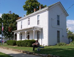
Block
From the record
19 National Register listings published here.
Sources: the National Register database, National Park Service
87 topographic sheets and 7 fire insurance atlases across 2 places.
19 National Register listings published here.
Sources: the National Register database, National Park Service
Every property in this county listed on the National Register of Historic Places, with the year it was listed and the federal nomination document.
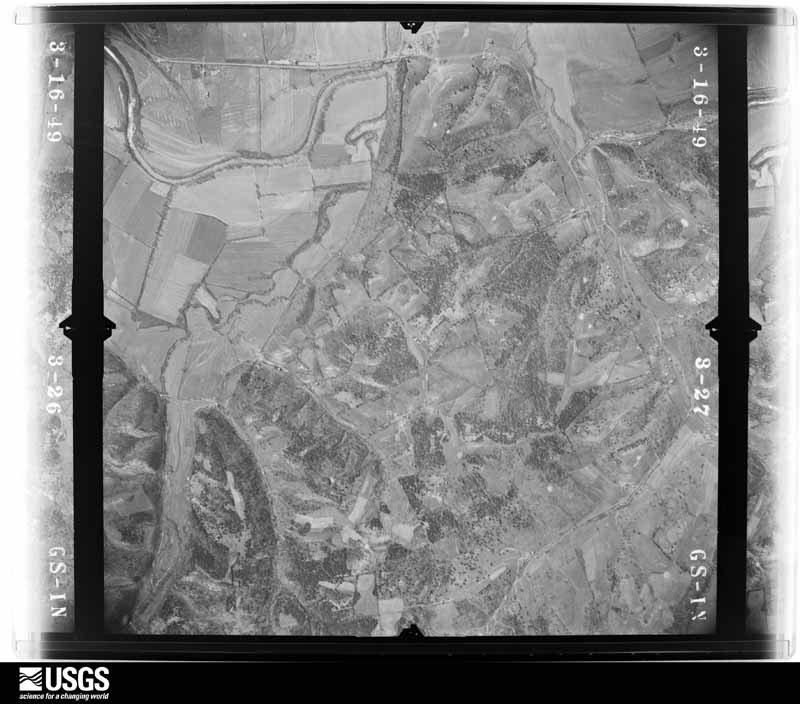
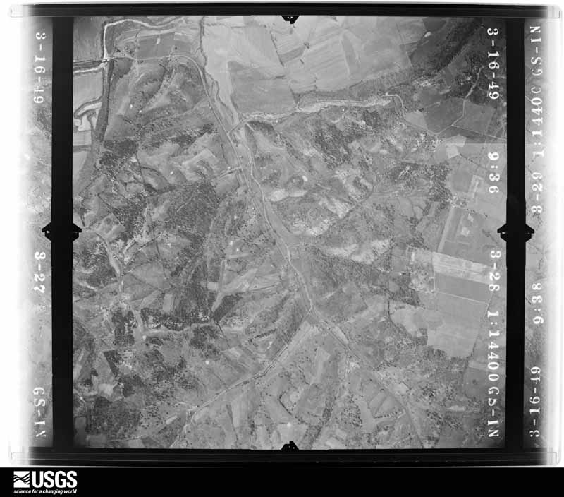
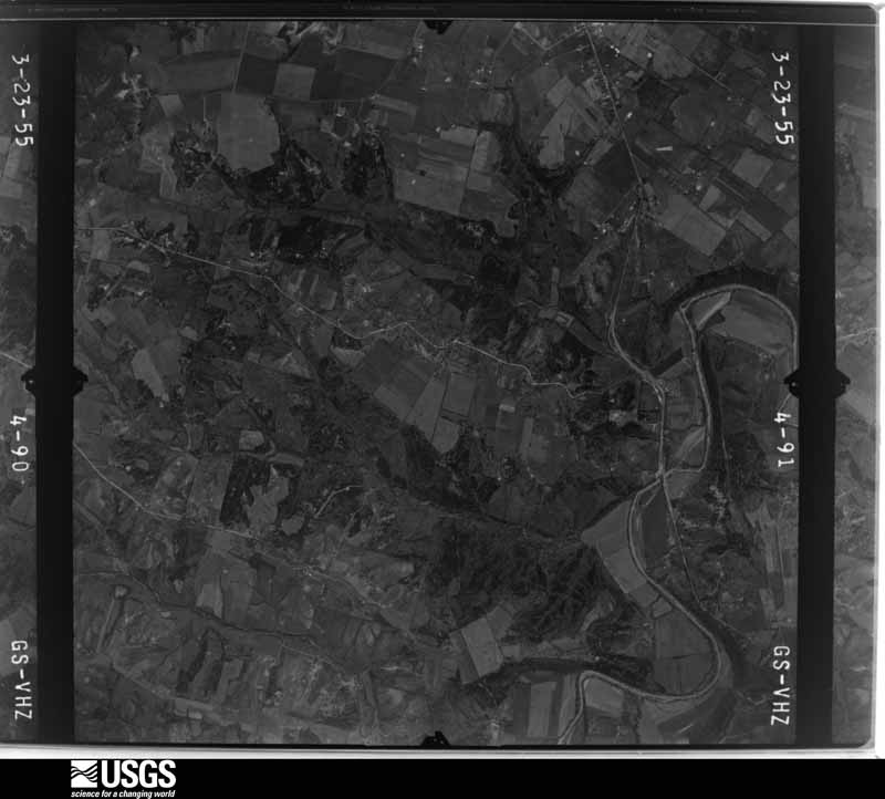
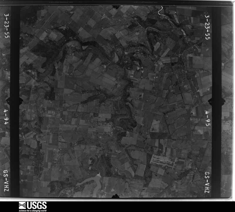
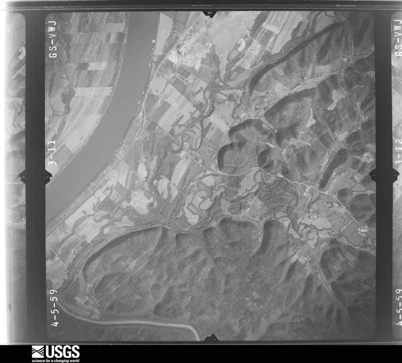
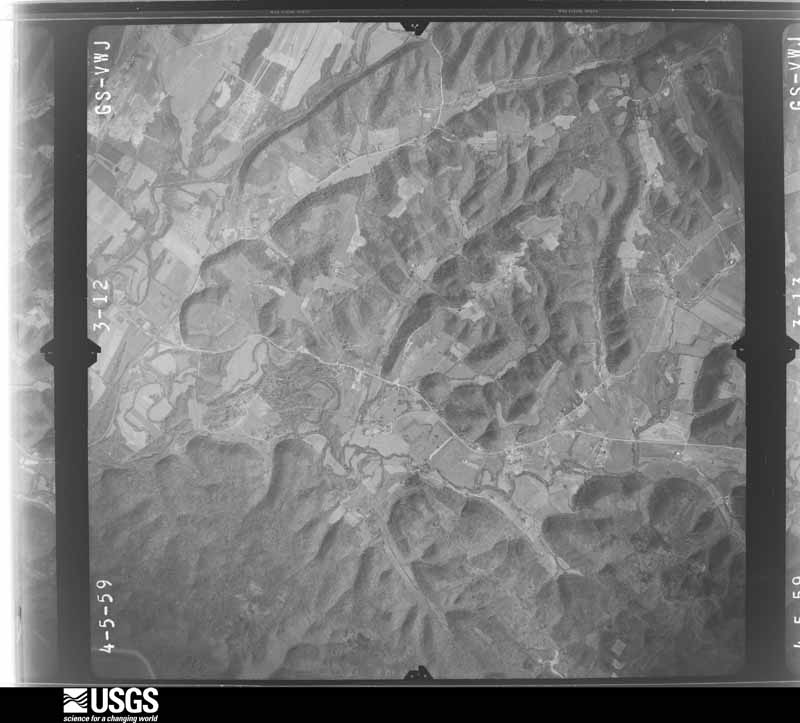
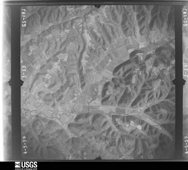
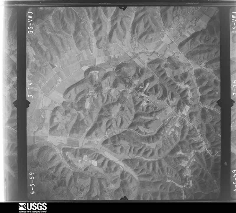
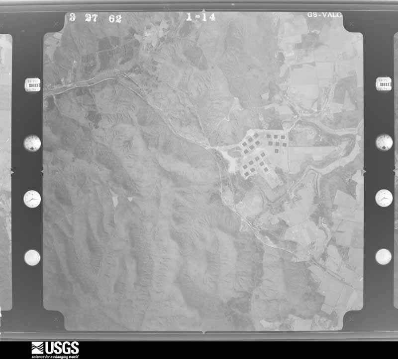
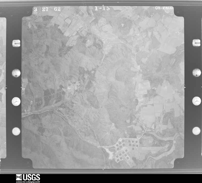
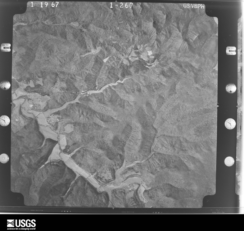
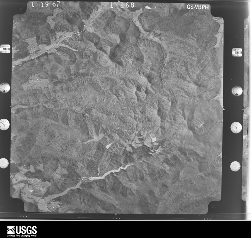
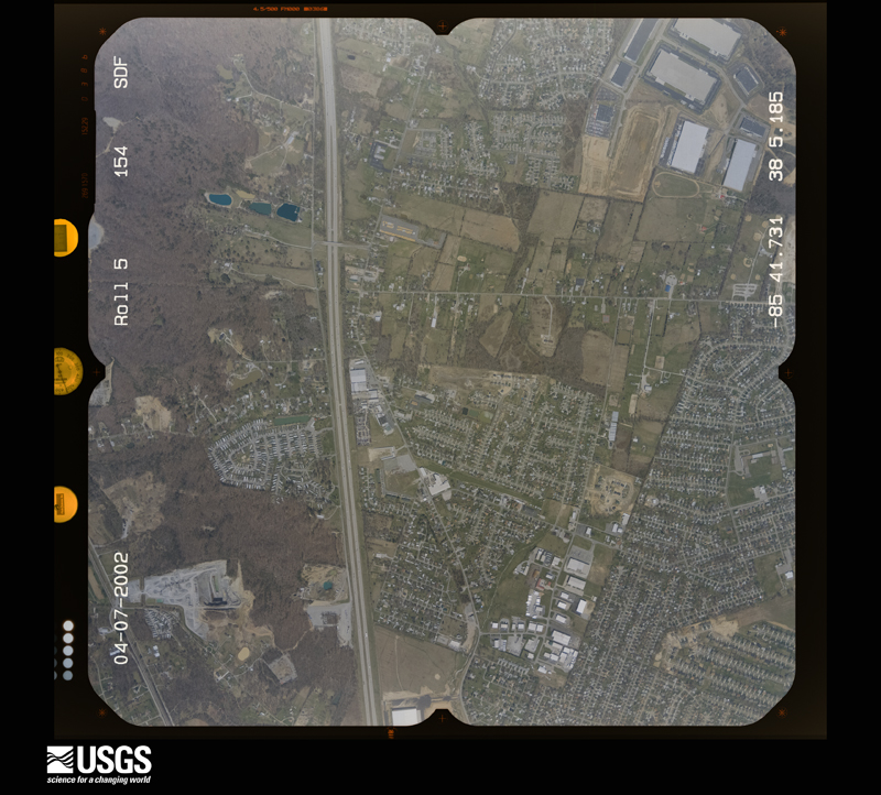
Flown by the U.S. Geological Survey between 1937 and 1989, the Aerial Photo Single Frames collection is the definitive mid-century view of the land: fields, roads and rivers as the camera saw them. The Survey holds 1,148 frames inside the rectangle that bounds this county; the 46 frames below were taken over the county itself, chosen across the decades of flights (at most four a year from that rectangle), so one flight cannot crowd out the rest. The full set is free to browse and download at EarthExplorer under the dataset Aerial Photo Single Frames.

































The thermometers that kept this county's weather, and the gages that measured the flow of its streams, as the federal records hold them. The extremes below are measured values from those records, not estimates.
Who lived here in 1950, one enumeration district at a time, as the Census Bureau described each district. Each row opens its official National Archives result, with Population Schedules and ED Maps available there.
Every wildfire the federal occurrence database records inside this county: 153 of them, burning about 883 acres. 1 started naturally and 5 were recorded as arson. Each settlement page carries the fires within five miles of it.
| Reported cause | Fires |
|---|---|
| Missing data/not specified/undetermined | 60 |
| Debris and open burning | 42 |
| Recreation and ceremony | 39 |
| Arson/incendiarism | 5 |
| Railroad operations and maintenance | 3 |
| Misuse of fire by a minor | 2 |
| Equipment and vehicle use | 1 |
| Natural | 1 |
The five largest, by the area the report gives. None of them was recorded as arson.
| Date | Cause | Size | Reported by | Name on the report |
|---|---|---|---|---|
| 21 October 2010 | Missing data/not specified/undetermined | 250 acres | Kentucky Division of Forestry | KNOB CREEK FIRE |
| 11 April 2010 | Missing data/not specified/undetermined | 50 acres | Kentucky Division of Forestry | not named |
| 18 February 1997 | Debris and open burning | 25 acres | Kentucky Division of Forestry | not named |
| 4 November 1999 | Missing data/not specified/undetermined | 25 acres | Kentucky Division of Forestry | not named |
| 25 February 1997 | Debris and open burning | 25 acres | Kentucky Division of Forestry | not named |
| 2 April 1997 | Debris and open burning | 25 acres | Kentucky Division of Forestry | not named |
| 10 October 2010 | Railroad operations and maintenance | 20 acres | Kentucky Division of Forestry | STAVEMILL RD. FIRE |
| 4 November 2000 | Missing data/not specified/undetermined | 20 acres | Kentucky Division of Forestry | not named |
Every settlement page carries the fires within five miles of it - see the settlement index below.
The NOAA Storm Events Database holds 314 reports for this county, causing 2 deaths, 25 injuries and about $102,957,250 in recorded property damage. Each settlement page carries the reports that name it.
| Kind of event | Reports |
|---|---|
| Thunderstorm Wind | 197 |
| Hail | 50 |
| Flash Flood | 38 |
| Tornado | 13 |
| Flood | 11 |
| Heavy Rain | 3 |
| Lightning | 2 |
The most serious of them, by death, then injury, then recorded damage. The accounts are quoted exactly as the forecast office filed them.
| When | Event | Place named | Harm | What the report says |
|---|---|---|---|---|
| April 2025 | Flash Flood | Lebanon Jct | 1 killed, $20,000 | A 50 year old male drove through flood waters in a Dodge Ram 3500 near his home on Lee Booth Road near Kentucky 61. He was last seen alive on the evening of Saturday 5th. His body was found in flood waters near his truck at 11:45 AM on Tuesday the 8th. Exact timing is unknown, but it's believed that after his truck stalled, the man exited his truck on foot before drowning. |
| June 1985 | Thunderstorm Wind | not stated | 1 killed | no account filed |
| May 1969 | Tornado (F3) | not stated | 14 hurt, $250,000 | no account filed |
| May 1996 | Tornado (F4) | Brooks | 10 hurt, $100,000,000 | no account filed |
| March 2025 | Tornado (EF1) | Cupio | 1 hurt | The National Weather Service surveyed a long-track EF-1 tornado that moved from Midway through the north side of Fort Knox and then ended just west of the Clermont exit on I-65. Numerous trees were downed or snapped along the damage path, which ran a little over 30 miles and was on the ground a little over 30 minutes. ||The most notable damage in Bullitt County was a large barn destroyed west of Clermont. |
| April 2015 | Flash Flood | Barrallton | $1,000,000 | Emergency management reported that the Martin Hill Rd Bridge on KY 1417 was washed out due to excessive rainfall. Also, KY 1116 over Cedar creek closed due to high water. Between 4 and 6 inches fell across the county, the highest amounts across the northern portions. |
| April 1996 | Tornado (F1) | Mt Washington | $300,000 | no account filed |
| February 2018 | Flood | Stibbins | $275,000 | Department of Highways reported numerous road closures closures in Bullitt County due to high water and mud slides. |
| February 2018 | Flash Flood | Stibbins | $102,000 | The public reported portion of Weavers Run Road was washed out in Bullitt County. |
| February 2018 | Flash Flood | Stibbins | $100,000 | Local media reported KY 1526 was closed between mile marker 1 and 2 because of flash flooding and a road washout. |
| February 2018 | Thunderstorm Wind | Stibbins | $100,000 | Off duty NWS employee reported trees down on Weavers Run Road and a portion of the road was washed out from heavy rain and flash flooding. |
| November 2017 | Thunderstorm Wind | Shepherdsville | $100,000 | A NWS Storm Survey team found a swath of intermittent wind damage extending from Shepherdsville, KY to Mount Washington, KY. Damage length was approximately 11.12 miles and at its widest almost 2 miles. The damage was mainly confined to areas along either side of Highway 44. Numerous trees were downed and several buildings received carport and shingle damage. |
| July 2015 | Tornado (EF0) | Belmont | $75,000 | A NWS survey, conducted with Bullitt County Emergency management, confirmed a small EF-0 tornado touched down in southern Bullitt County, just east of the eastern boundary of Fort Knox Army Base. This rain-wrapped tornado was only on the ground for about minute, with most of its damage limited to large limbs and weaker tree trunks being snapped. The tornado started along Belmont Rd (KY Highway 251) 0.7 miles west of Belmont, then traveled east-northeast through the community of Belmont, and lifting just east of Church Street. At least three homes were damaged, two from trees falling on them, with minor roofing damage to a third. Trees also fell on at least two out buildings. The storm that spawned this tornado was the same one that produced an EF-0 moments earlier 11 miles to the west. |
| July 2012 | Thunderstorm Wind | Lebanon Jct | $75,000 | A strong microburst just east of Lebanon Junction removed half of the roof of a large barn. Nearby, a mobile home was badly damaged. Several large trees were downed. This same microburst brought additional damage a couple of miles away in Nelson County. |
| May 2002 | Hail | Lebanon Jct | $75,000 | There were numerous reports of hail damage to roofs, vinyl siding, windows, and vehicles. |
| March 2017 | Thunderstorm Wind | Ting | $55,000 | The Bullitt County Emergency Manager reported damage to barns and outbuildings. A gas pump station was also damaged by the severe thunderstorm winds. |
| July 2004 | Thunderstorm Wind | Shepherdsville | $50,000 | Trees were blown down. The roof was blown off a house. |
| May 1995 | Tornado (F1) | Shepardsville | $50,000 | Funnel cloud sighted West of Shepardsville moving northeast. Barns, buildings, and mobile homes were damaged. |
| October 2007 | Tornado (EF1) | Hubers | $35,000 | The tornado damaged two outbuildings near the initial touchdown point. It also downed trees, and the damage pattern of the trees indicated a rotary circulation. At this point the tornado moved out over a wooded and largely inaccessible area, where it may have been on the ground intermittently. Most of the structural damage occurred in about the last three quarters of a mile of the damage path. In this stretch, a few houses had chimney and roof damage. The tornado also knocked down some vertical columns on a porch overhang. The roof was blown off a cinder block garage, and three of the garage walls were collapsed. |
| August 1995 | Thunderstorm Wind | not stated | $30,000 | Trees and power lines down in Northern and Eastern Bullitt County. Several mobile homes also received damage. |
| July 2018 | Thunderstorm Wind | Stites | $20,000 | A tree fell and knocked down power lines at Highway 44 and Knob Creek. |
| March 2016 | Thunderstorm Wind | Gap In Knob | $20,000 | A pole barn was blown down on Highway 44, 1 mile from Alpar Lane. |
| November 2000 | Thunderstorm Wind | Shepherdsville | $20,000 | no account filed |
| July 2018 | Thunderstorm Wind | Maryville | $15,000 | Two trees and power lines were reported down on the 800 block of Walls Hollow Road North. |
| July 2018 | Thunderstorm Wind | Gap In Knob | $15,000 | A power line was reported down on Sandy Drive. |
| July 2015 | Thunderstorm Wind | Shepherdsville | $15,000 | A broadcast meteorologist relayed a report of damage to roofs and fences in Shepherdsville due to severe thunderstorm winds. |
| May 2014 | Tornado (EF0) | Lotus | $15,000 | An EF-0 tornado with estimated winds between 65 and 80 mph touched down and snapped a tree at a residence along Lotus Street. It then moved northeast and removed several shingles from another home along this same street. Several large branches were downed near this home as well. Several trees were also toppled in a wooded area behind this home. A neighbor along Deatsville Road had a tree fall and crush a trampoline. Farther north along Deatsville Road, a resident lost a large section of a tree and had minor siding damage along the east side of his home. A mile farther to the northeast, just before lifting, the tornado sheared off a portion of a row of trees adjacent to Maraman Road. The maximum wind speed was estimated based on snapped 1 to 2 foot diameter tree trunks. Structural damage resulted from winds estimated at 65 to 70 mph. |
| October 2010 | Tornado (EF0) | Mt Washington | $15,000 | An NWS storm survey team found EF-0 tornado damage along Bogard Ln. just south of Hwy. 44 between Shepherdsville and Mt. Washington. The path length was 150 yards with a maximum width of 75 yards. A well constructed concrete workshop building was heavily damaged. |
| June 2009 | Lightning | Shepherdsville | $15,000 | A house caught fire due to a lightning strike at 163 Mills Court. |
| March 2016 | Thunderstorm Wind | Gap In Knob | $10,000 | An outbuilding was damaged near Salt River Electric on Highway 44. |
| June 2015 | Thunderstorm Wind | Brooks | $10,000 | A Kentucky state official reported a tree fell on a car as well as several trees down on Brooks Schoolhouse Road. |
| July 2012 | Thunderstorm Wind | Lebanon Jct | $10,000 | Local police reported several trees downed in Lebanon Junction. One tree fell on a car. Several power lines were downed. |
| February 2008 | Hail | Mt Washington | $10,000 | A few cars were damaged by hail. |
| July 2008 | Thunderstorm Wind | Shepherdsville | $10,000 | A tree was blown onto a house near Shepherdsville. |
| October 2001 | Thunderstorm Wind | Lebanon Jct | $10,000 | no account filed |
| May 2018 | Thunderstorm Wind | Limestone | $6,000 | A trained spotter reported multiple trees and power lines down on Chapeze Lane and Tanglewood Road. |
| August 2015 | Thunderstorm Wind | Hubers | $6,000 | The Bullitt County emergency manager reported a large tree down on power lines along Bells Mill Road. |
| August 2010 | Lightning | Mt Washington | $5,000 | Two buildings were struck by lightning in Mt. Washington. |
| April 2007 | Thunderstorm Wind | Shepherdsville | $5,000 | A tree was blown on to a house on Laurel River Drive. Other trees were downed along Bells Mill Road. |
| April 2007 | Thunderstorm Wind | Brooks | $5,000 | Trees were downed. There was siding damage on a house. |
| May 1995 | Tornado (F1) | Near Lebanon Jct. | $5,000 | Confirmed tornado by National Weather Service storm survey. Tornado downed/snapped off trees in varying directions with twisting evident. Path length estimated to be around 15 miles, path width about 100 to 300 yards. Winds estimated over 100 mph along parts of path. Tornado was F1 to week F2 on Fujita Scale. One roof was damged. |
| March 1993 | Thunderstorm Wind | not stated | $5,000 | High winds damaged a house in Shepherdsville. |
| August 2005 | Thunderstorm Wind | Countywide | $5,000 | no account filed |
| July 1996 | Thunderstorm Wind | Hillview | $5,000 | no account filed |
| September 2016 | Thunderstorm Wind | Shepherdsville | $3,000 | Broadcast media reported power lines down in downtown Shepherdsville. |
| March 2006 | Thunderstorm Wind | Mt Washington | $2,000 | A fence was blown down. |
| April 2019 | Thunderstorm Wind | Stites | $1,000 | Several trees were blown down, and tents blew away at Knob Creek Gun Range. |
| July 2013 | Thunderstorm Wind | Salt River | $1,000 | The Bullitt County law enforcement reported a tree down across a power line near Pitts Point. |
| May 1996 | Hail | Mt Washington | $1,000 | no account filed |
| April 1989 | Tornado (F0) | not stated | $250 | no account filed |
| March 2026 | Thunderstorm Wind | Lebanon Jct | - | The National Weather Service conducted a storm damage survey on Monday, March 16th for the storms that occurred on Sunday night, March 15th.||The starting point was on the north side of Lebanon Junction where a large old softwood tree fell onto a pickup truck at a residence along state highway 61. More damage was surveyed approximately 1.5 miles ESE of Lebanon Junction along S Sanders Ln where a couple of older softwood trees again had fallen. ||The next report was along Ridge Rd / CR 1442 approximately 4.5 miles SW of Mt Washington where several large softwood trees fell on power lines causing on power pole to snap and another to become uprooted. ||Further downstream along the storm path, a cluster of damage along Armstrong Ln consisted of several downed trees and metal roofing stripped off of barns/garages. Some of the metal roofing panels were blown into tree tops and twisted onto power lines. ||A half mile north on Armstrong Ln was another instance of several large softwood trees that had been knocked down causing damage to a chained link fence. |
| April 2026 | Thunderstorm Wind | Brooks | - | There were power lines down on Steedland Drive. |
| March 2026 | Thunderstorm Wind | Brooks | - | A tree was blown down on Blossom Road. |
| March 2025 | Tornado (EFU) | Cupio | - | The National Weather Service surveyed a long-track EF-1 tornado that moved from Midway through the north side of Fort Knox and then ended just west of the Clermont exit on I-65. Numerous trees were downed or snapped along the damage path, which ran a little over 30 miles and was on the ground a little over 30 minutes. |
| March 2025 | Thunderstorm Wind | Stibbins | - | There was a tree down. |
| March 2025 | Thunderstorm Wind | Lebanon Jct | - | Power lines were down at Oak Street and South Preston Highway. |
| May 2025 | Thunderstorm Wind | Gap In Knob | - | A tree was blown down across Coral Ridge Road north of Shepherdsville. |
| May 2025 | Thunderstorm Wind | Brooks | - | A tree was blown down across Blue Jay Road. |
| May 2025 | Thunderstorm Wind | Cupio | - | A tree was blown down across Cupio Lane. |
| May 2025 | Thunderstorm Wind | Gospel Campground | - | A tree was blown down along the 200 block of East Martin Place. |
The Survey's mineral resources record lists 4 workings inside this county. 3 still produce and 1 is closed or unrecorded. Each settlement page carries the workings within five miles of it.
| Commodity | Workings |
|---|---|
| Stone, Crushed/Broken | 2 |
| Bloating Material | 1 |
| Clay | 1 |
The least common of them first, because a county's hundredth gravel pit says nothing its first ten did not.
| Where | Site | Commodity | Status | Recorded |
|---|---|---|---|---|
| Highway 61 Roadcut | Clay | Prospect | ||
| Shepherdsville | Bloating Material | Producer | Sedimentary | |
| Bullitt County Quarry | Stone, Crushed/Broken | Producer | ||
| Sheperdsville Quarry | Stone, Crushed/Broken | Producer |
Named settlements recorded in the Geographic Names Information System, each with the topographic sheets covering it. Villages, hamlets and abandoned places alike. Each is shown with the nearest named watercourse or landform and the survey quadrangle it falls on. The 2 places that were also surveyed for fire insurance come first, with the number of atlases and photographs held for them.
Lebanon Junction census division · 40150 · Near Bolton Knob · Lebanon Junction quadrangle
7 sheets, 1949 to 1981
Fire insurance: 2 atlases
Shepherdsville Northwest census division · 40165 · On Buffalo Run · Shepherdsville quadrangle
12 sheets, 1949 to 1998
Fire insurance: 5 atlases
Shepherdsville Southeast census division · 40165 · Shepherdsville quadrangle
12 sheets, 1949 to 1998
Shepherdsville Northwest census division · 40109 · On Brushy Fork · Valley Station quadrangle
20 sheets, 1909 to 1993
Lebanon Junction census division · 40150 · On Prior Branch · Pitts Point quadrangle
13 sheets, 1936 to 1991
Lebanon Junction census division · 40150 · On Barley Creek · Shepherdsville quadrangle
12 sheets, 1949 to 1998
Shepherdsville Northwest census division · 40109 · Near Wagonbed Knob · Brooks quadrangle
17 sheets, 1907 to 1997
Shepherdsville Southeast census division · 40165 · Samuels quadrangle
11 sheets, 1949 to 1991
Shepherdsville Northwest census division · 40165 · Near Cahill Knob · Valley Station quadrangle
20 sheets, 1909 to 1993
No longer a settlement
Shepherdsville Southeast census division · 40165 · Shepherdsville quadrangle
12 sheets, 1949 to 1998
Shepherdsville Southeast census division · 40110 · On Cave Hollow Branch · Shepherdsville quadrangle
12 sheets, 1949 to 1998
Shepherdsville Northwest census division · 40177 · On Stowers Branch · Kosmosdale quadrangle
20 sheets, 1909 to 1986
Shepherdsville Northwest census division · 40165 · Near The Lost Knob · Brooks quadrangle
17 sheets, 1907 to 1997
Shepherdsville Northwest census division · 40165 · Near MacDonald Knob · Brooks quadrangle
17 sheets, 1907 to 1997
Shepherdsville Northwest census division · 40165 · On Tanyard Branch · Brooks quadrangle
17 sheets, 1907 to 1997
No longer a settlement
Shepherdsville Northwest census division · 40165 · On Tanyard Branch · Brooks quadrangle
17 sheets, 1907 to 1997
Shepherdsville Northwest census division · 40229 · Near Buttonmold Knob · Brooks quadrangle
17 sheets, 1907 to 1997
Shepherdsville Southeast census division · 40110 · Near Jackson Hollow · Shepherdsville quadrangle
12 sheets, 1949 to 1998
Shepherdsville Northwest census division · 40229 · Near Buttonmold Knob · Brooks quadrangle
17 sheets, 1907 to 1997
Shepherdsville Northwest census division · 40177 · On Knob Creek · Kosmosdale quadrangle
20 sheets, 1909 to 1986
Shepherdsville Southeast census division · 40165 · On Lickskillet Creek · Shepherdsville quadrangle
12 sheets, 1949 to 1998
No longer a settlement
Shepherdsville Southeast census division · 40165 · On Cave Hollow Branch · Shepherdsville quadrangle
12 sheets, 1949 to 1998
Shepherdsville Southeast census division · Near Shepler Hollow · Samuels quadrangle
11 sheets, 1949 to 1991
Shepherdsville Northwest census division · 40165 · On Applegate Run · Valley Station quadrangle
20 sheets, 1909 to 1993
No longer a settlement
Mount Washington census division · 40047 · On Mulberry Run · Mount Washington quadrangle
15 sheets, 1907 to 1986
Shepherdsville Southeast census division · 40165 · On Bullitt Lick Creek · Shepherdsville quadrangle
12 sheets, 1949 to 1998
Lebanon Junction census division · 40150 · On Barley Creek · Shepherdsville quadrangle
12 sheets, 1949 to 1998
No longer a settlement
Shepherdsville Northwest census division · 40165 · On Tanyard Branch · Brooks quadrangle
17 sheets, 1907 to 1997
Fort Knox census division · On Rolling Fork · Pitts Point quadrangle
13 sheets, 1936 to 1991
Shepherdsville Southeast census division · On Rock Run · Shepherdsville quadrangle
12 sheets, 1949 to 1998
Lebanon Junction census division · 40150 · Near Pond Ridge · Samuels quadrangle
11 sheets, 1949 to 1991
Shepherdsville Southeast census division · 40165 · On Buffalo Run · Shepherdsville quadrangle
12 sheets, 1949 to 1998
Lebanon Junction census division · 40150 · Near Picnic Hollow · Lebanon Junction quadrangle
7 sheets, 1949 to 1981
Shepherdsville Northwest census division · 40165 · Near Joyce Hollow · Valley Station quadrangle
20 sheets, 1909 to 1993
No longer a settlement
Mount Washington census division · 40047 · On Whittaker Run · Mount Washington quadrangle
15 sheets, 1907 to 1986
Shepherdsville Southeast census division · 40165 · On Rocky Run · Samuels quadrangle
11 sheets, 1949 to 1991
Shepherdsville Northwest census division · 40177 · Near Snellen Hollow · Kosmosdale quadrangle
20 sheets, 1909 to 1986
Shepherdsville Northwest census division · 40165 · Near Beghto Ridge · Valley Station quadrangle
20 sheets, 1909 to 1993
No longer a settlement
Shepherdsville Northwest census division · 40165 · On Tanyard Branch · Brooks quadrangle
17 sheets, 1907 to 1997
The vanished settlements of Bullitt County: the places named above that are no longer on the map.
12 topographic sheets and 5 fire insurance atlases, 1886 to 1929
7 topographic sheets and 2 fire insurance atlases, 1933
The complete index, with nothing left out. Each of these is a separate record with its own page: a federal survey report, or the case file that argued a property on to the National Register. Both are public domain and reproduced word for word.
The vanished settlements of Bullitt County, the places these records name that are no longer on the map.