 Block
From the record
7 National Register listings published here.
Sources: the National Register database, National Park Service
57 topographic sheets and 2 fire insurance atlases across 1 place.
7 National Register listings published here.
Sources: the National Register database, National Park Service
Every property in this county listed on the National Register of Historic Places, with the year it was listed and the federal nomination document.
| Photograph | Property | Type | Listed | Reference |
|---|---|---|---|---|
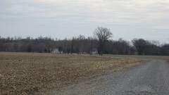 | Carson's Landing | building | 1998 | 98000935 |
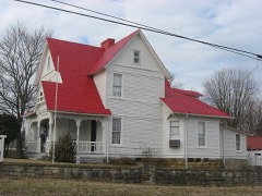 | John Carson House | building | 1991 | 91000922 |
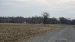 | Carson-Annis Ferry Farm | district | 2007 | 07000286 |
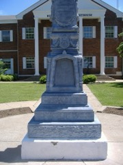 | Confederate-Union Veterans' Monument in Morgantown | object | 1997 | 97000713 |
 | Finney Hotel | building | 1995 | 95001349 |
| Ice House on Little Muddy Creek | building | 1987 | 87000171 | |
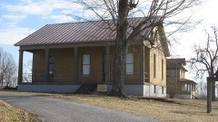 | U.S. Army Corps of Engineers Superintendent's House and Workmen's Office | building | 1980 | 80001489 |
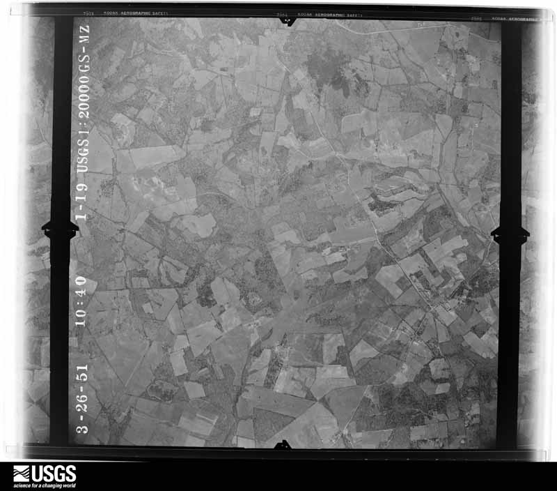
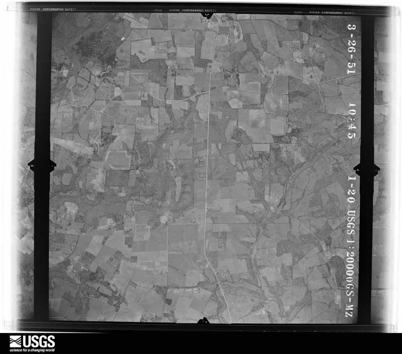
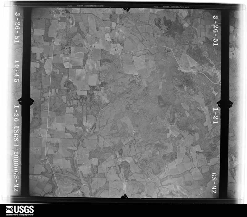
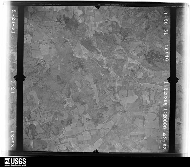
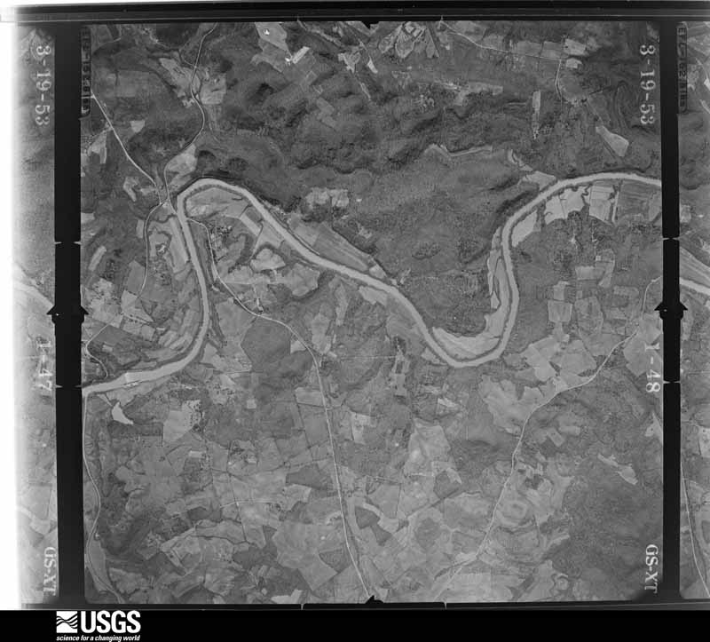
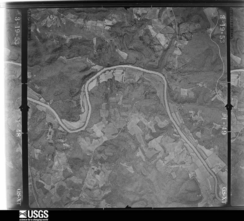
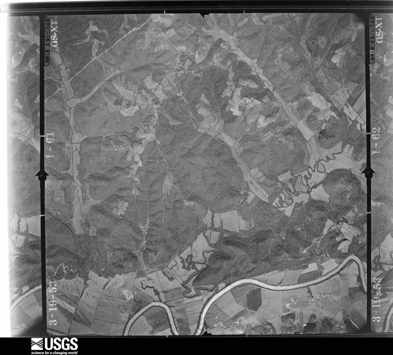
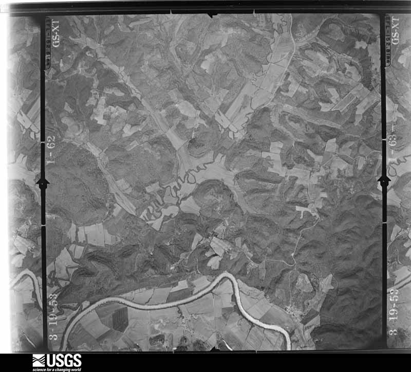
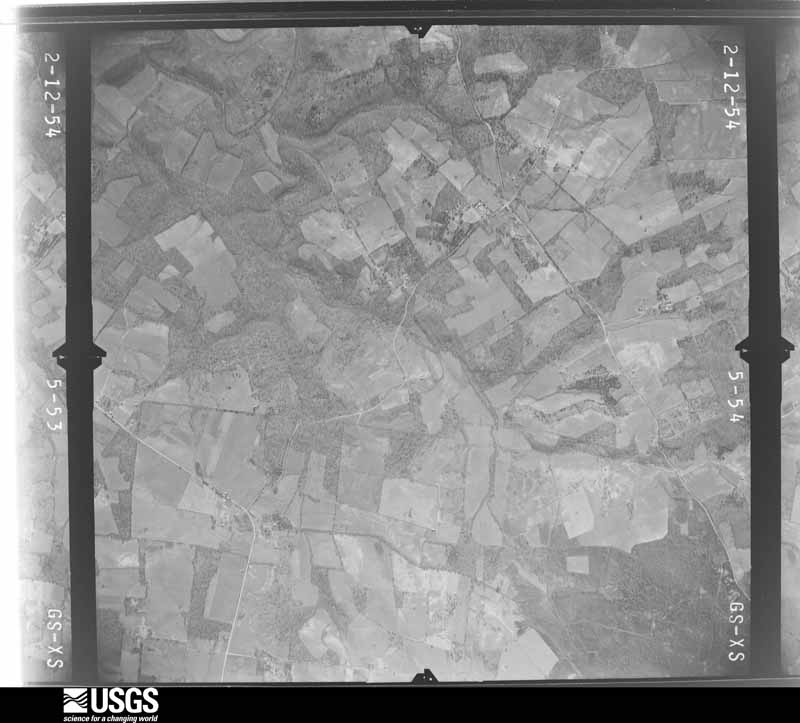
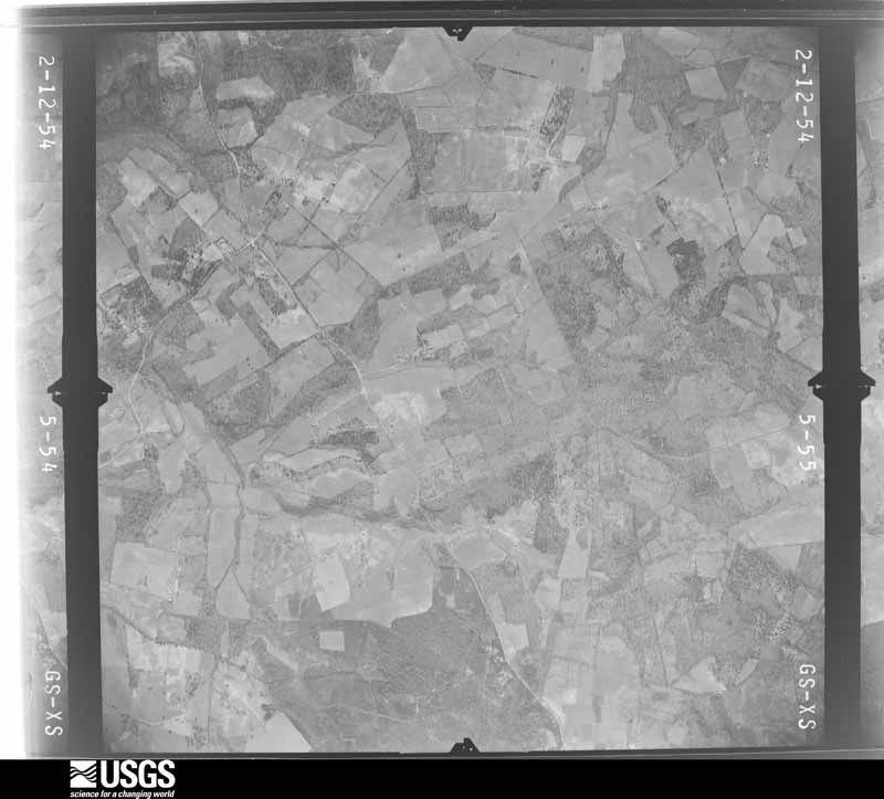
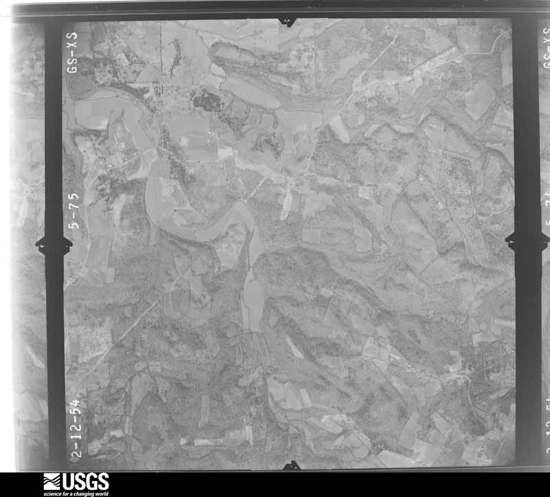
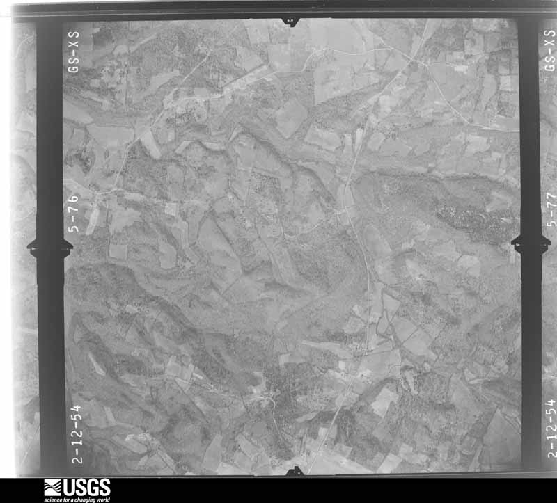
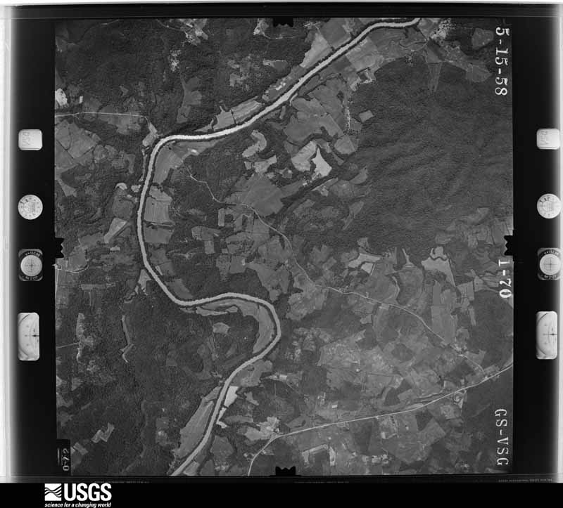
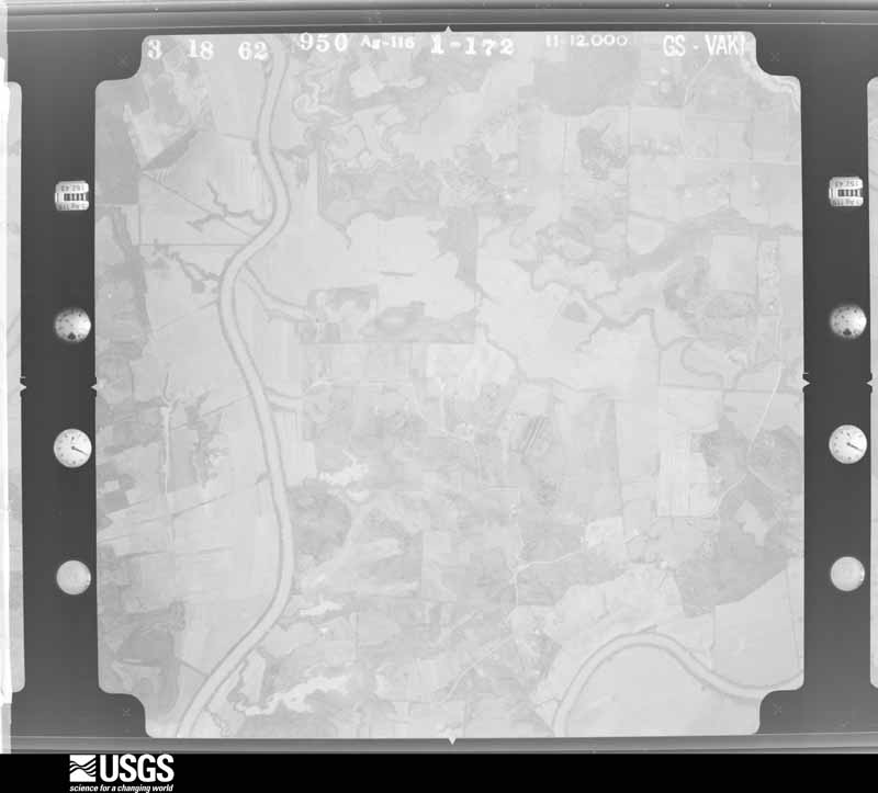
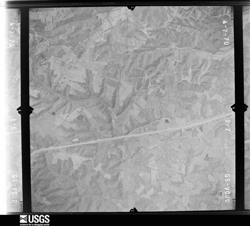
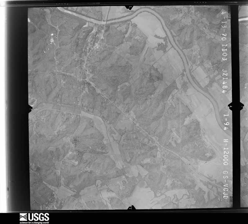
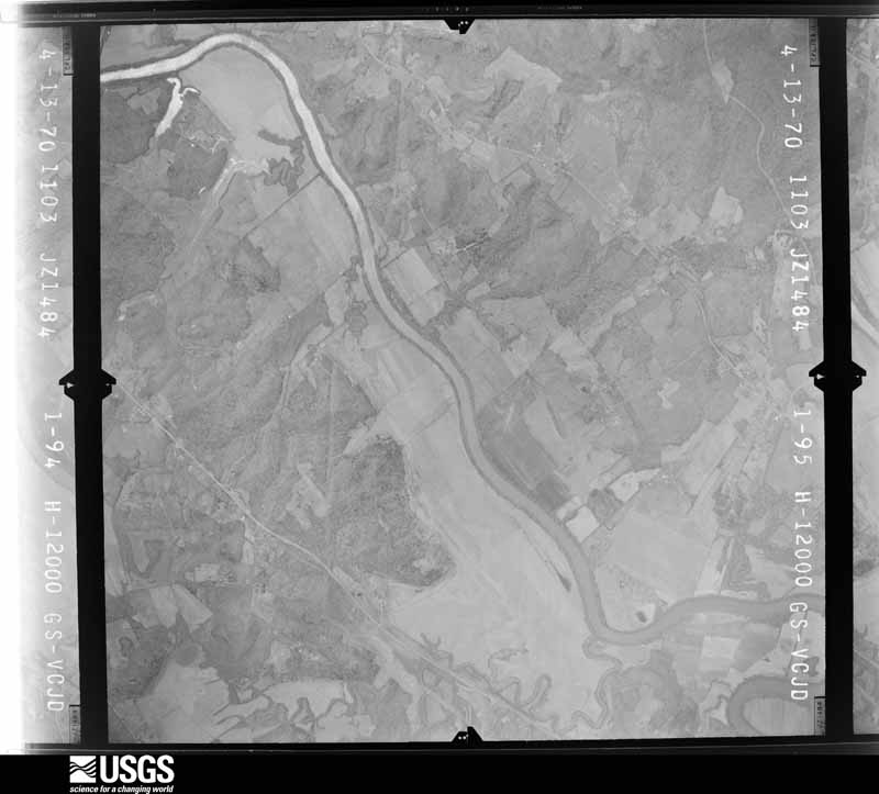
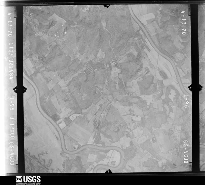
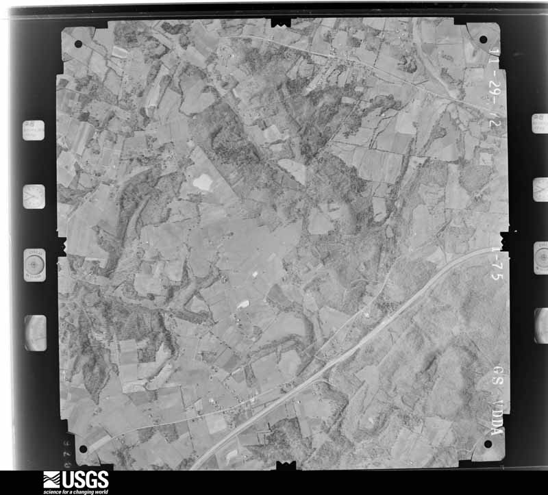
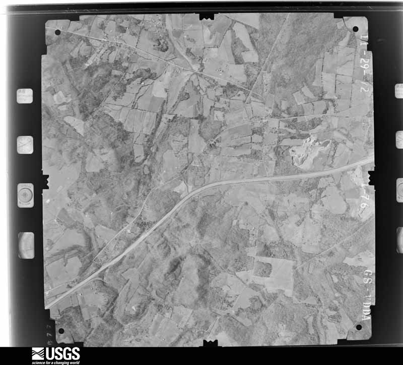
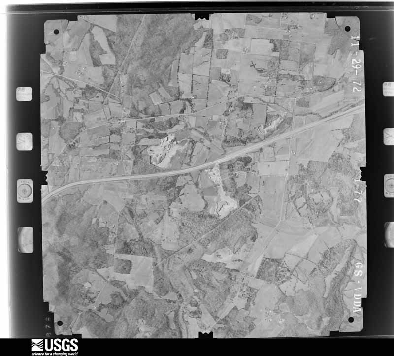
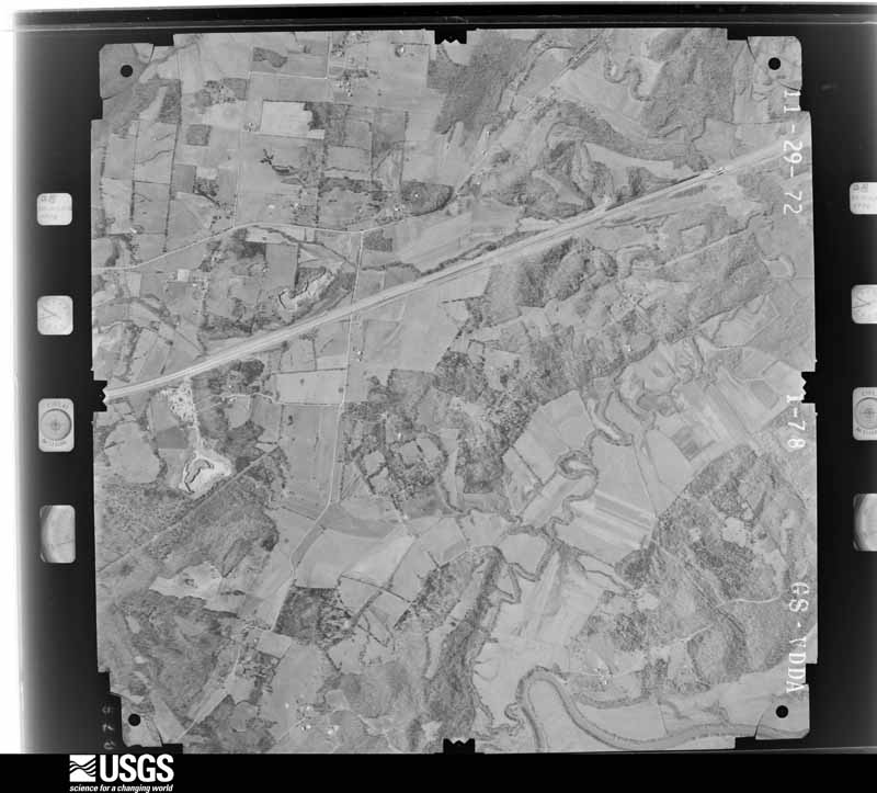
Flown by the U.S. Geological Survey between 1937 and 1989, the Aerial Photo Single Frames collection is the definitive mid-century view of the land: fields, roads and rivers as the camera saw them. The Survey holds 920 frames inside the rectangle that bounds this county; the 22 frames below were taken over the county itself, chosen across the decades of flights (at most four a year from that rectangle), so one flight cannot crowd out the rest. The full set is free to browse and download at EarthExplorer under the dataset Aerial Photo Single Frames.
The thermometers that kept this county's weather, and the gages that measured the flow of its streams, as the federal records hold them. The extremes below are measured values from those records, not estimates.
Who lived here in 1950, one enumeration district at a time, as the Census Bureau described each district. Each row opens its official National Archives result, with Population Schedules and ED Maps available there.
Every wildfire the federal occurrence database records inside this county: 86 of them, burning about 1,088 acres. None started naturally and 16 were recorded as arson. Each settlement page carries the fires within five miles of it.
| Reported cause | Fires |
|---|---|
| Missing data/not specified/undetermined | 37 |
| Arson/incendiarism | 16 |
| Debris and open burning | 15 |
| Recreation and ceremony | 7 |
| Railroad operations and maintenance | 4 |
| Misuse of fire by a minor | 3 |
| Equipment and vehicle use | 3 |
| Smoking | 1 |
The five largest, by the area the report gives. One of them was set deliberately.
| Date | Cause | Size | Reported by | Name on the report |
|---|---|---|---|---|
| 24 March 2001 | Debris and open burning | 100 acres | Kentucky Division of Forestry | not named |
| 9 March 2007 | Recreation and ceremony | 75 acres | Kentucky Division of Forestry | not named |
| 11 April 2006 | Missing data/not specified/undetermined | 75 acres | Kentucky Division of Forestry | not named |
| 4 November 2008 | Debris and open burning | 65 acres | Kentucky Division of Forestry | not named |
| 20 November 2005 | Missing data/not specified/undetermined | 52 acres | Kentucky Division of Forestry | not named |
| 15 March 2000 | Missing data/not specified/undetermined | 50 acres | Kentucky Division of Forestry | not named |
| 8 June 2006 | Missing data/not specified/undetermined | 45 acres | Kentucky Division of Forestry | not named |
| 8 March 2001 | Arson/incendiarism | 45 acres | Kentucky Division of Forestry | not named |
Every settlement page carries the fires within five miles of it - see the settlement index below.
The NOAA Storm Events Database holds 296 reports for this county, causing 1 death, 1 injury and about $3,937,000 in recorded property damage. Each settlement page carries the reports that name it.
| Kind of event | Reports |
|---|---|
| Thunderstorm Wind | 141 |
| Flood | 68 |
| Hail | 45 |
| Flash Flood | 30 |
| Tornado | 10 |
| Funnel Cloud | 1 |
| Lightning | 1 |
The most serious of them, by death, then injury, then recorded damage. The accounts are quoted exactly as the forecast office filed them.
| When | Event | Place named | Harm | What the report says |
|---|---|---|---|---|
| April 1971 | Tornado (F3) | not stated | 1 killed, $2,500,000 | no account filed |
| November 2013 | Tornado (EF1) | Huntsville | 1 hurt, $250,000 | An EF-1 tornado with maximum winds of 105 mph first touched down just west of Huntsville, located in Butler County. Damage was first surveyed on Blaine Road where several trees were uprooted. While moving across Huntsville along Huntsville-Quality road, it damaged a few homes and uprooted additional trees. Along Silver City-Huntsville road, additional homes and outbuildings were damaged. A man was injured within a double wide mobile home when its roof and a wall were lifted from the structure. This injury occurred just west of the intersection of Panther Creek and Silver City-Huntsville Road. Finally, farther east along Muddy Creek Road, the tornado damaged several additional homes and trees before lifting 4 mile east of Huntsville. |
| April 1974 | Tornado (F1) | not stated | $250,000 | no account filed |
| April 1972 | Tornado (F3) | not stated | $250,000 | no account filed |
| July 2020 | Lightning | Silver City | $200,000 | A residence on Huntsville-Quality Road was struck by lightning and caught on fire. |
| May 2010 | Flood | Davenport | $100,000 | The Green River at Woodbury crested at 49.5 feet around 2 PM EST on May 5. Flood stage at Woodbury is 33 feet. Major flooding occurs at this level. Woodbury was nearly cut off, and parts of the town were flooded. U.S. Highway 231 near the William Natcher Parkway was flooded and Morgantown High School was cut off. |
| December 2015 | Flash Flood | Elfie | $75,000 | The Butler County emergency manager reported heavy flooding at Oak Ridge Rd and Indian Camp Creek. Water rose over the bridge and roadway, washing out a portion of the road. |
| May 2010 | Flood | Rochester | $75,000 | The Green River at Rochester Ferry crested at 28.6 feet around 6 AM EST on May 7. Flood stage at Rochester is 17 feet. Moderate flooding occurs at this level, with water in basements of some homes in Rochester. Sections of Kentucky Highway 70 and Highway 1117 were closed by high water. |
| March 2017 | Tornado (EF1) | Pleasant Hill | $50,000 | The National Weather Service in conjunction with WxorNot Bowling Green Meteorologist Landon Hampton determined a low end EF-1 tornado touched down in southwestern Butler County. The tornado touched down south of D&G archery in far western Butler County. The overwhelming majority of the damage was snapped, twisted & uprooted trees. The only exception was a building damaged right near the initial point where it touched down near a pond. The tornado was in an extremely rugged area except where it crossed Hwy 70. The tornado ended about 3/4 mile northeast of Hwy 70 in rugged countryside. |
| February 2018 | Thunderstorm Wind | Quality | $25,000 | A barn was damaged and a large tree was uprooted along Huntsville-Quality Road. |
| March 2017 | Thunderstorm Wind | Pleasant Hill | $25,000 | The Butler County Emergency Manager reported structural damage to a boat dock on a pond. Also the severe thunderstorm winds resulted in large diameter trees snapped and uprooted along Highway 70 and Witaker Road. |
| November 2005 | Thunderstorm Wind | Woodbury | $25,000 | Thunderstorms damaged the roof of two homes and a storage shed in Woodbury. |
| February 2018 | Tornado (EF1) | Harper Xrds | $20,000 | The National Weather Service conducted a storm damage survey in Butler County Kentucky. The survey was challenging due to closed roads due to high water and trees blocking some country roads. The damage began near Ewing Road where trees were snapped and twisted. This continued along Graveltown Road where more trees were twisted and snapped and couple were uprooted. Wind speeds averaged 90 mph with a width of 75 to 100 yards. ||The tornado reached its peak intensity on Highway 106 where it did significant damage to a large barn. Wind speeds increased to 95 mph with a width of 100 yards. The tornado crossed Highway 106 uprooting 2 trees and then lifted 200 yards past the highway. |
| November 2018 | Flash Flood | Grancer | $20,000 | It was reported that Boss Hog Road near Grancer Road was completely washed out. |
| May 2009 | Flash Flood | Morgantown | $20,000 | Water was running through the Tucks Apartments on Saw Mill Road. |
| May 2017 | Thunderstorm Wind | Region | $10,000 | The public relayed a photo of a large tree down onto a car due to severe thunderstorm winds. |
| July 1995 | Thunderstorm Wind | Countywide | $10,000 | Numerous trees and power lines were blown down across the county. |
| May 2016 | Thunderstorm Wind | Casey | $5,000 | Trees and power lines were reported down in the northern part of Butler County. |
| July 2016 | Thunderstorm Wind | Reedyville | $5,000 | The Butler County emergency manager reported numerous large trees down, along with siding and fencing blown down. |
| July 2016 | Thunderstorm Wind | Morgantown | $5,000 | Local law enforcement reported a power line down on a residence on North Tyler Street in Morgantown. |
| May 1993 | Thunderstorm Wind | not stated | $5,000 | Numerous large trees were blown down from five miles southwest of Morgantown to ten miles northeast of Morgantown. |
| September 2001 | Thunderstorm Wind | Countywide | $5,000 | no account filed |
| May 2016 | Thunderstorm Wind | Banock | $3,000 | The Butler County emergency manager reported a silver maple down on a power line. Two power poles were being replaced. |
| January 2009 | Flood | Woodbury | $2,000 | Ice and snow melt from a recent winter storm coupled with heavy rain caused minor flooding near Woodbury. The river crested at 39 feet, 6 feet above flood stage, on January 30th at 0600 local time. |
| July 2015 | Thunderstorm Wind | Morgantown | $1,000 | The Butler County emergency manager reported that a large tree fell on a deck. |
| May 1995 | Hail | N. Butler | $1,000 | no account filed |
| March 2026 | Tornado (EF0) | Dimple | - | The National Weather Service conducted a storm survey on Tuesday, March 17th for the storms that occurred on Sunday night, March 15th. A tornado was determined to have occurred in Butler County with max winds of 80 MPH (EF0).||Damage was first observed along Flat Rock Road south of Dimple where a roof was lifted off a storage outbuilding and lofted into nearby trees. Some tree damage was also observed at this location with some evidence of being broken and twisted in different |directions due to the tornado. The tornado continued to the northeast across highway 79 where tree damage was twisted backward in the opposite direction of the storm motion to the southwest.| |The tornado continued across Dimple Road and damaged mobile homes along the road. One home had a shed that was destroyed and lofted above the homes and placed in a nearby farm field. One mobile home was shifted on the foundation, but did not overturn due to proper anchoring. Tree branch damage in this vicinity showed different |directions to the damage along with twisting, which was evidence of rotation. Roof damage to another mobile home near this location was evident and the roof was lofted about a tenth of a mile downstream into a farm field. ||The next damage was uphill at a farm, where a storage outbuilding had damage to the roof. The rooftop was lofted in the air over several pieces of farm equipment, split in two, and the two pieces of roofing material landed in two different locations (one to the|east, and the other in a more southeasterly direction). Some debris was lofted downstream into nearby fields along Belcher Road, where there were isolated trees uprooted as well. ||The storm then crossed Little Muddy Creek toward Richland Church Road where several large branches to trees along the road were snapped. From this point, there was no additional damage observed. |
| March 2026 | Thunderstorm Wind | Embry | - | A large tree was blown down along Grancer Road. |
| February 2025 | Thunderstorm Wind | Casey | - | Trees were blown down by thunderstorm winds on Needmore Road. |
| May 2025 | Thunderstorm Wind | Monford | - | A tree was blown down across McKendree Chapel Road north of Morgantown. |
| May 2025 | Thunderstorm Wind | Dexterville | - | A tree was blown down across Caneyville Road north of Morgantown. |
| May 2025 | Thunderstorm Wind | Davis Xrds | - | A tree was blown down across the roadway on Caney Fork Road in extreme southern Butler County. |
| May 2025 | Thunderstorm Wind | Aberdeen | - | A large tree was blown down across a road and fell onto a house, resulting in structural damage to the roof. |
| May 2025 | Thunderstorm Wind | Woodbury | - | A tree was blown down onto the southbound lanes of Interstate 165 near mile marker 23. |
| May 2025 | Hail | Sharer | - | Quarter size hail was reported just south of Dimple. |
| May 2025 | Thunderstorm Wind | Region | - | A tree was blown down across the road near the 1600 block of Threlkel Road. |
| May 2025 | Thunderstorm Wind | Morgantown | - | Multiple trees were blown down in Morgantown. |
| May 2025 | Thunderstorm Wind | Davis Xrds | - | Multiple trees were blown down in the southeastern part of Butler County. |
| May 2025 | Thunderstorm Wind | Mining City | - | Trees and power lines were downed on Provo Road by thunderstorm winds. |
| April 2025 | Thunderstorm Wind | Davis Xrds | - | A tree was down at Davis Crossroads. |
| April 2025 | Thunderstorm Wind | Tilford | - | There were multiple trees down near the 4000 block of Caneyville Road. |
| June 2025 | Thunderstorm Wind | Morgantown | - | Power poles were broken by strong winds in Morgantown. |
| June 2025 | Thunderstorm Wind | Flener | - | A tree was blown down onto Caneyville Road north of Morgantown. |
| June 2025 | Thunderstorm Wind | Brooklyn | - | A tree was down on Brooklyn Chapel Road. |
| April 2025 | Flash Flood | Brooklyn | - | Water was flowing over Brooklyn Love Road. |
| April 2025 | Flash Flood | Needmore | - | Water was flowing over Richland Church Road. |
| July 2025 | Thunderstorm Wind | Grancer | - | Multiple large trees were blown down near the intersection of Brooklyn Chapel Road and Tarvin Embry Road. |
| May 2024 | Thunderstorm Wind | Dexterville | - | Trees and tree limbs were downed and a ham radio antenna was damaged on Chester Johnson Road. |
| May 2024 | Thunderstorm Wind | Flener | - | Multiple trees were downed on Caneyville Road between Possum Hollow Road and Dexterville Banock Road. |
| May 2024 | Thunderstorm Wind | Casey | - | Trees were downed along Carl Pharis Road. |
| May 2024 | Thunderstorm Wind | Flener | - | Numerous power outages were reported across Butler County due to downed trees and power lines. |
| May 2024 | Thunderstorm Wind | Pleasant Hill | - | Numerous trees were downed along Rochester Road. |
| May 2024 | Thunderstorm Wind | Flener | - | Multiple trees were downed on Caneyville Road near Brownsville Road. |
| May 2024 | Hail | Brooklyn | - | Quarter sized hail was observed in Butler County. |
| May 2024 | Hail | Mining City | - | Golf ball sized hail was reported in Morgantown at the intersection of Provo Road and Meredith Road. |
| May 2024 | Tornado (EF1) | Huntsville | - | This tornado is a continuation from Muhlenberg County, where the tornado initially developed before moving east southeastward into Butler and ultimately Warren County before lifting. In total, this EF1 tornado was on the ground for over 40 miles and 50 minutes across three counties. Please see the Storm Data submission from the National Weather Service office in Paducah for more information about the tornado as it passed through Muhlenberg County.||It was determined that a long-track EF1 tornado crossed the|Muhlenberg/Butler county line near Mud River Mine Road, and |then quickly crossed over Penrod Road and Arnold Ridge Road where it was at |EF1 strength. Numerous hardwoods were snapped and uprooted along this road. ||The tornado traveled eastward across Huntsville Quality road at |EF0 strength, continuing to uproot and break off large limbs of |hardwoods. As the tornado traveled eastward toward the |intersection of Coal Road and Southhill Union Road some tree |damage was noted along with the roof blown out of a medium sized |outbuilding. This damage was noted as low-end EF1. The path |continued more southeastward toward the intersection of Southhill |Union Road and Givens Road where some more intense clustering of |snapped, uprooted, and snarled hardwoods was noted. Luckily, no |trees fell on homes in this area. ||The southeastward path continued across Muddy Creek, before |taking a brief eastward jog along Sandy Creek Road. From here, |more intensity was noted as the southeastward track resumed and |the tornado headed toward Kentucky Route 79, Russellville Road. Particularly, more intense damage was noted at the intersection of Russellville Road and Richland Church |Road and points eastward where a steeple was knocked off a church,|and much more intense tree damage occurred to a grove of |hardwoods. Damage just to the south of this intersection on Dimple|Road was determined to be straight-line inflow into the parent |circulation. Damage along Richland Church Road was noted at 90 to 100|mph as numerous hardwoods were snapped, uprooted, and snarled. |Some cars were damaged with trees falling on them, as well as some|minor structural damage to homes and outbuildings. ||The path continued toward Sugar Grove Road, U.S. Route 231, and Interstate 165 where trees continued to be damaged by mostly EF0 winds. The tornado then crossed into northwestern Warren County just south of U.S. Route 231. |
| May 2024 | Thunderstorm Wind | Needmore | - | Numerous trees were downed by strong straight-line winds across Butler County. |
| July 2024 | Thunderstorm Wind | Leetown | - | Strong winds caused crop damage near Alum Springs in southern Butler County. |
| January 2023 | Thunderstorm Wind | Leetown | - | Trees were blown down on Sandy Creek Road. |
| January 2023 | Flash Flood | Boston | - | Water was observed over the roadway along Sandy Creek Road. |
The Survey's mineral resources record lists 3 workings inside this county. 1 still produces and 2 are closed or unrecorded. Each settlement page carries the workings within five miles of it.
| Commodity | Workings |
|---|---|
| Clay | 2 |
| Stone, Crushed/Broken | 1 |
The least common of them first, because a county's hundredth gravel pit says nothing its first ten did not.
| Where | Site | Commodity | Status | Recorded |
|---|---|---|---|---|
| Gary Bros. No. 2 Quarry | Stone, Crushed/Broken | Plant | ||
| Green River Shale | Clay | Prospect | ||
| Sugar Grove Shale | Clay | Prospect |
Named settlements recorded in the Geographic Names Information System, each with the topographic sheets covering it. Villages, hamlets and abandoned places alike. Each is shown with the nearest named watercourse or landform and the survey quadrangle it falls on. The 1 place that was also surveyed for fire insurance comes first, with the number of atlases and photographs held for them.
Morgantown census division · 42261 · On Renfrow Creek · Morgantown quadrangle
14 sheets, 1914 to 1981
Fire insurance: 2 atlases
Welchs Creek census division · 42261 · On Big Branch · Flener quadrangle
12 sheets, 1925 to 1981
Sugar Grove census division · 42256 · On Boston Lick Creek · Quality quadrangle
11 sheets, 1911 to 1981
Welchs Creek census division · 42261 · On Phelps Creek · Welchs Creek quadrangle
11 sheets, 1925 to 1981
Welchs Creek census division · 42721 · On Bryant Ridge · Welchs Creek quadrangle
11 sheets, 1925 to 1981
No longer a settlement
Morgantown census division · 42261 · Morgantown quadrangle
14 sheets, 1914 to 1981
No longer a settlement
Welchs Creek census division · 42261 · Near Rockfall Hollow · Welchs Creek quadrangle
11 sheets, 1925 to 1981
Jetson census division · 42261 · Near Gary Ridge · Welchs Creek quadrangle
11 sheets, 1925 to 1981
No longer a settlement
Morgantown census division · 42261 · Morgantown quadrangle
14 sheets, 1914 to 1981
No longer a settlement
Sugar Grove census division · 42261 · Sugar Grove quadrangle
14 sheets, 1914 to 1981
Welchs Creek census division · 42721 · On Welchs Creek · Ready quadrangle
13 sheets, 1922 to 1981
Welchs Creek census division · 42261 · On Mauldon Branch · Flener quadrangle
12 sheets, 1925 to 1981
Morgantown census division · 42261 · On Muddy Creek · South Hill quadrangle
11 sheets, 1911 to 1981
Welchs Creek census division · 42261 · On Lindsey Creek · Flener quadrangle
12 sheets, 1925 to 1981
Sugar Grove census division · 42261 · Near Ragland Hill · Sugar Grove quadrangle
14 sheets, 1914 to 1981
No longer a settlement
Welchs Creek census division · 42261 · Near Wolfpen Hollow · Flener quadrangle
12 sheets, 1925 to 1981
Rochester census division · 42256 · On Biggerstaff Creek · Dunmor quadrangle
11 sheets, 1911 to 1981
No longer a settlement
Welchs Creek census division · 42261 · Near Cowhorn Hollow · Flener quadrangle
12 sheets, 1925 to 1981
Welchs Creek census division · 42261 · On Com Creek · Welchs Creek quadrangle
11 sheets, 1925 to 1981
Jetson census division · 42261 · On Gabbard Branch · Riverside quadrangle
14 sheets, 1914 to 1981
No longer a settlement
Rochester census division · 42256 · On Biggerstaff Creek · Dunmor quadrangle
11 sheets, 1911 to 1981
Rochester census division · 42256 · On Biggerstaff Creek · Dunmor quadrangle
11 sheets, 1911 to 1981
Sugar Grove census division · 42261 · South Hill quadrangle
11 sheets, 1911 to 1981
No longer a settlement
Rochester census division · 42273 · Near Reed Hill · South Hill quadrangle
11 sheets, 1911 to 1981
No longer a settlement
Jetson census division · 42261 · Near Gary Ridge · Riverside quadrangle
14 sheets, 1914 to 1981
Welchs Creek census division · 42261 · On John Woosley Creek · Welchs Creek quadrangle
11 sheets, 1925 to 1981
Rochester census division · 42261 · Near Reed Hill · Rochester quadrangle
11 sheets, 1911 to 1981
Jetson census division · 42261 · Near Gary Ridge · Riverside quadrangle
14 sheets, 1914 to 1981
Morgantown census division · 42261 · Near Millers Rock · Cromwell quadrangle
12 sheets, 1909 to 1981
Jetson census division · 42261 · Near Possum Hollow · Morgantown quadrangle
14 sheets, 1914 to 1981
No longer a settlement
Jetson census division · 42261 · Near Rueben Hollow · Welchs Creek quadrangle
11 sheets, 1925 to 1981
Jetson census division · 42261 · Near Lettered Rock Ridge · Riverside quadrangle
14 sheets, 1914 to 1981
No longer a settlement
Sugar Grove census division · 42261 · On Grassy Lick Creek · South Hill quadrangle
11 sheets, 1911 to 1981
No longer a settlement
Rochester census division · 42256 · Rochester quadrangle
11 sheets, 1911 to 1981
No longer a settlement
Jetson census division · 42261 · On Little Reedy Creek · Riverside quadrangle
14 sheets, 1914 to 1981
No longer a settlement
Morgantown census division · 42261 · On Persimmon Creek · South Hill quadrangle
11 sheets, 1911 to 1981
Welchs Creek census division · 42261 · Near Haunted Hollow · Flener quadrangle
12 sheets, 1925 to 1981
Morgantown census division · 42261 · On Welch Creek · Morgantown quadrangle
14 sheets, 1914 to 1981
No longer a settlement
Rochester census division · 42256 · Quality quadrangle
11 sheets, 1911 to 1981
No longer a settlement
Jetson census division · 42275 · Reedyville quadrangle
14 sheets, 1922 to 1981
No longer a settlement
Sugar Grove census division · 42101 · Near Zion Hill · Sugar Grove quadrangle
14 sheets, 1914 to 1981
Welchs Creek census division · 42261 · Near Rockfall Hollow · Welchs Creek quadrangle
11 sheets, 1925 to 1981
Rochester census division · 42273 · Near Reed Hill · South Hill quadrangle
11 sheets, 1911 to 1981
Rochester census division · 42256 · On Duncan Creek · Quality quadrangle
11 sheets, 1911 to 1981
Rochester census division · 42273 · On Panther Creek · Rochester quadrangle
11 sheets, 1911 to 1981
Rochester census division · 42256 · On Biggerstaff Creek · Dunmor quadrangle
11 sheets, 1911 to 1981
No longer a settlement
Rochester census division · 42261 · On Grassy Lick Creek · South Hill quadrangle
11 sheets, 1911 to 1981
No longer a settlement
Sugar Grove census division · 42261 · Near Hanging Rock · Sugar Grove quadrangle
14 sheets, 1914 to 1981
Morgantown census division · 42261 · On Hurricane Slough · Cromwell quadrangle
12 sheets, 1909 to 1981
No longer a settlement
Jetson census division · 42261 · On New Zion Creek · Welchs Creek quadrangle
11 sheets, 1925 to 1981
Welchs Creek census division · 42721 · Near Turkey Knob Ridge · Welchs Creek quadrangle
11 sheets, 1925 to 1981
Sugar Grove census division · 42256 · On Big Branch · Quality quadrangle
11 sheets, 1911 to 1981
No longer a settlement
Sugar Grove census division · 42256 · On Duncan Creek · Quality quadrangle
11 sheets, 1911 to 1981
No longer a settlement
Sugar Grove census division · 42256 · On Brushy Fork · Quality quadrangle
11 sheets, 1911 to 1981
Jetson census division · 42275 · On Greenfield Branch · Reedyville quadrangle
14 sheets, 1922 to 1981
Welchs Creek census division · 42261 · Near Flat Woods · Welchs Creek quadrangle
11 sheets, 1925 to 1981
Welchs Creek census division · 42261 · On Mauldon Branch · Flener quadrangle
12 sheets, 1925 to 1981
Jetson census division · 42261 · Near Gary Ridge · Welchs Creek quadrangle
11 sheets, 1925 to 1981
Morgantown census division · 42261 · On Black Swamp Branch · Morgantown quadrangle
14 sheets, 1914 to 1981
The vanished settlements of Butler County: the places named above that are no longer on the map.