 Block
From the record
3 National Register listings published here.
Sources: the National Register database, National Park Service
53 topographic sheets and 5 fire insurance atlases across 2 places.
3 National Register listings published here.
Sources: the National Register database, National Park Service
Taken for the Office of War Information and the Farm Security Administration, who photographed the country between 1935 and 1944. Works of United States government photographers, with no known restriction on use. Each opens its catalogue record.
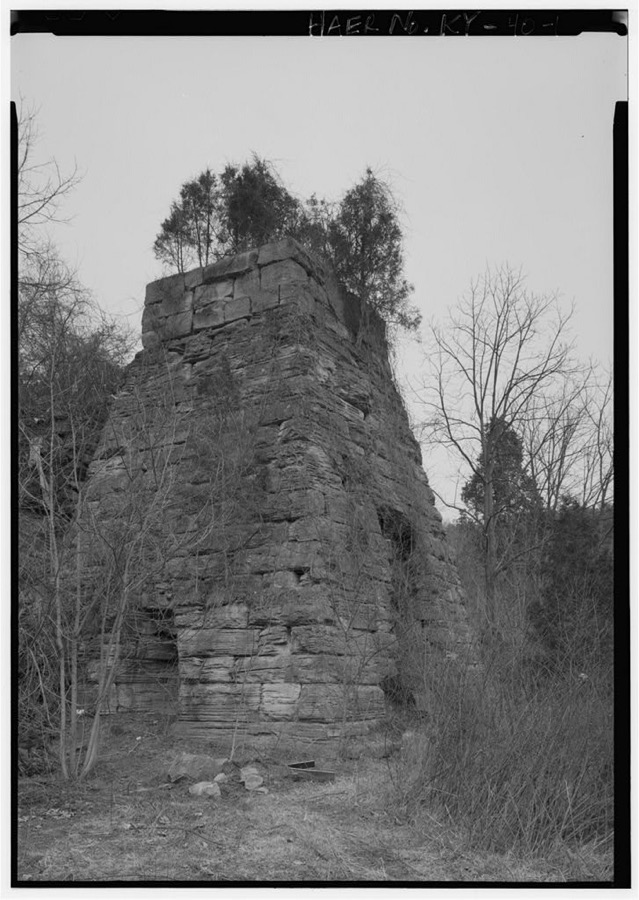
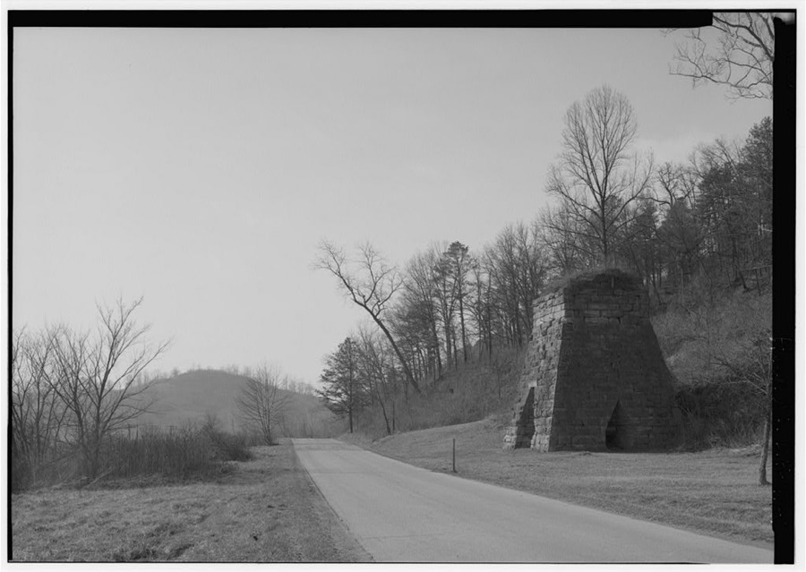
Every property in this county listed on the National Register of Historic Places, with the year it was listed and the federal nomination document.
| Photograph | Property | Type | Listed | Reference |
|---|---|---|---|---|
| Van Kitchen House | building | 1974 | 74000857 | |
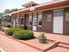 | Olive Hill C & O Depot | building | 1992 | 92001487 |
| Saltpeter Cave | site | 2001 | 01000743 |
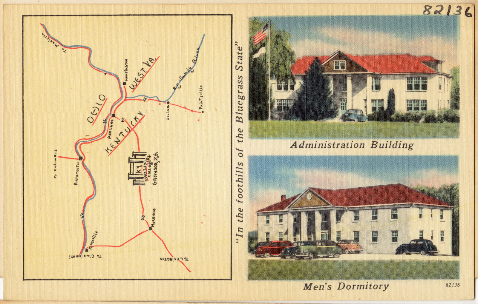
Selected from the Digital Public Library of America's 4 image records catalogued for this county. Every one shown here carries a public-domain status or a licence that permits reuse on a site that carries advertising; non-commercial, share-alike and restricted images are excluded. The selection is spread across the county's towns (at most eight per town), so no single institution's bulk upload crowds out the rest. Each opens the holding library's record, and the complete set at the Digital Public Library of America is one click away.
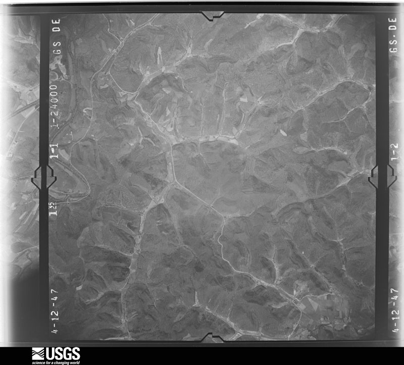
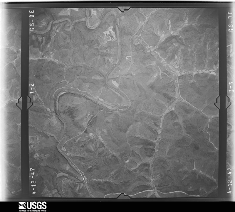
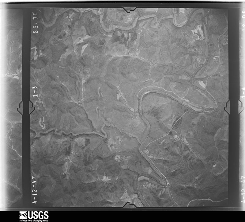
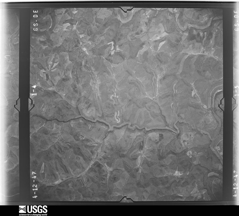
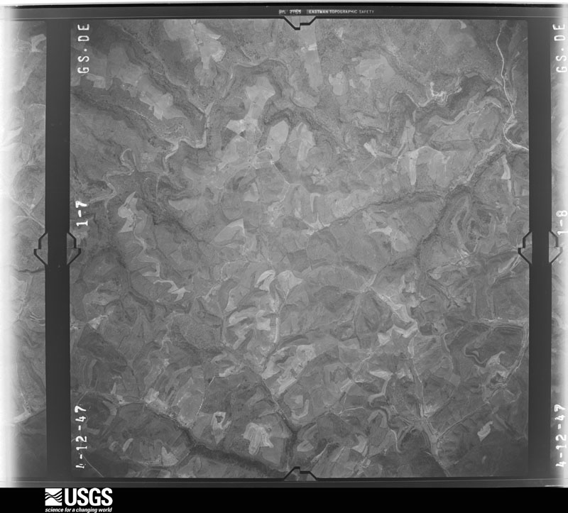
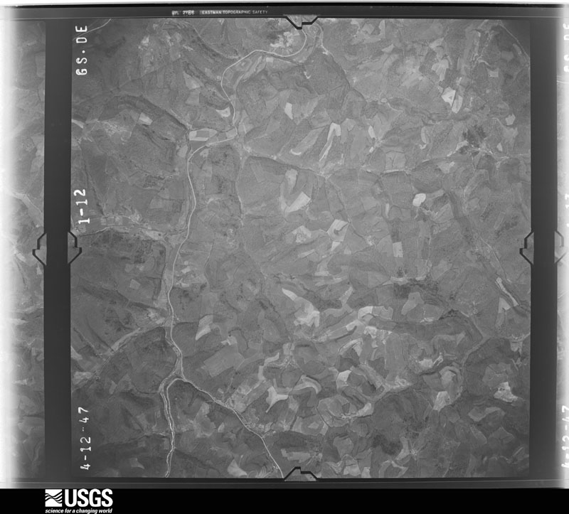
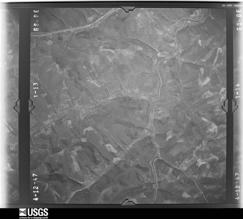
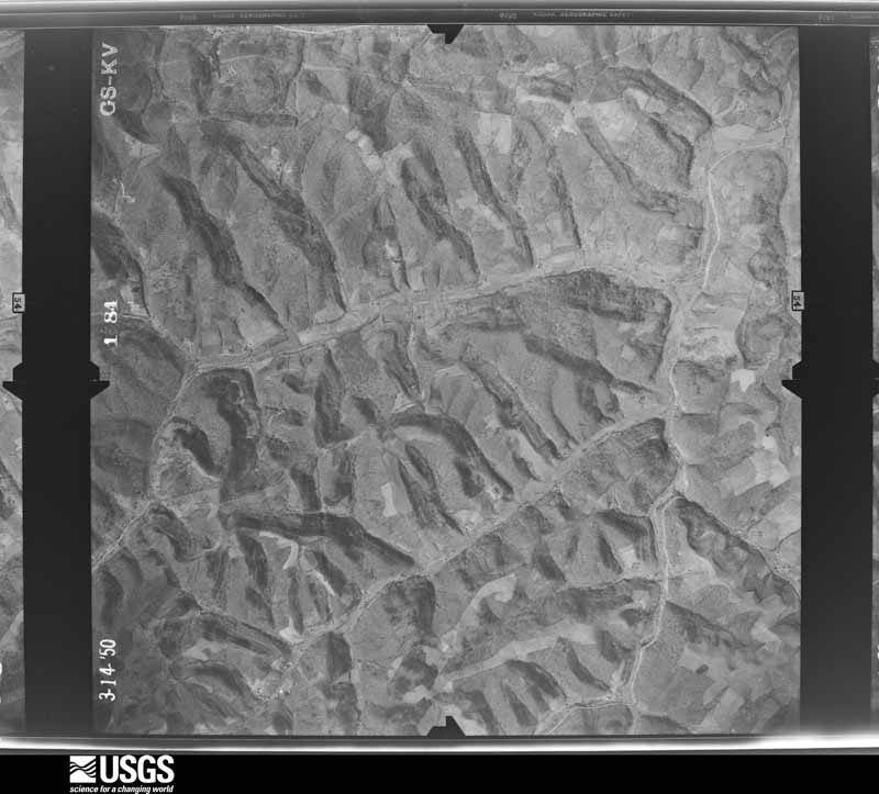
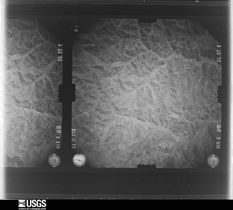
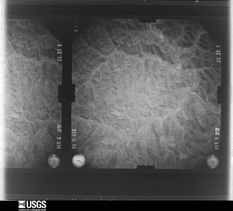
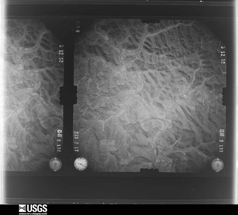
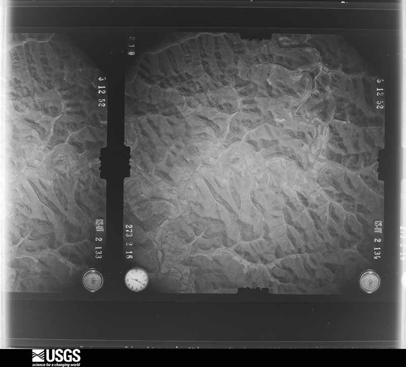
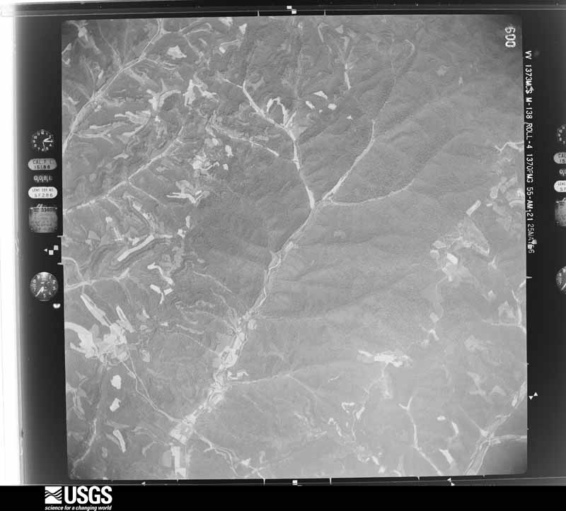
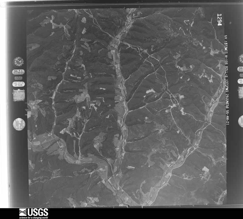
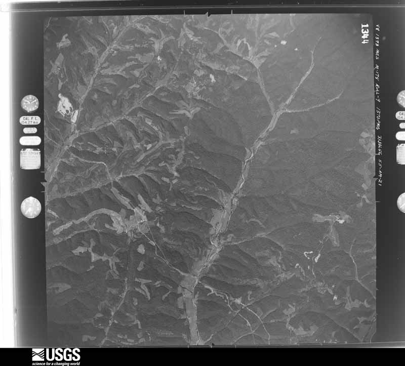
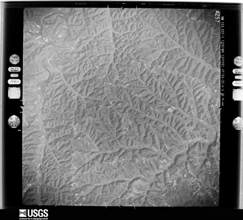
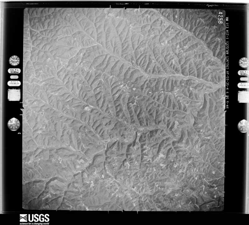
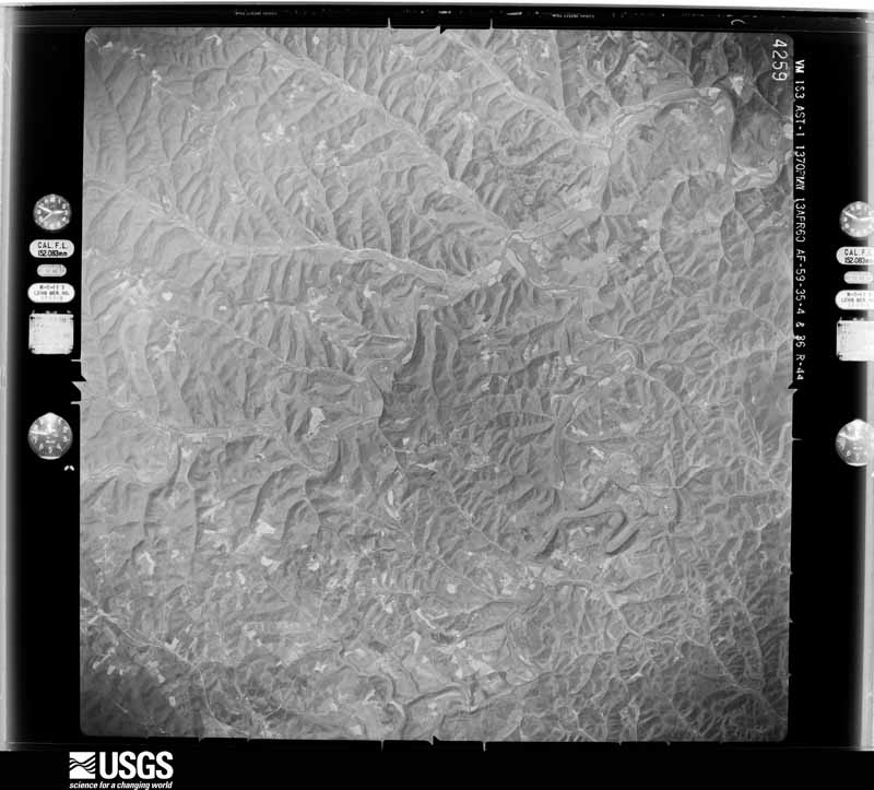
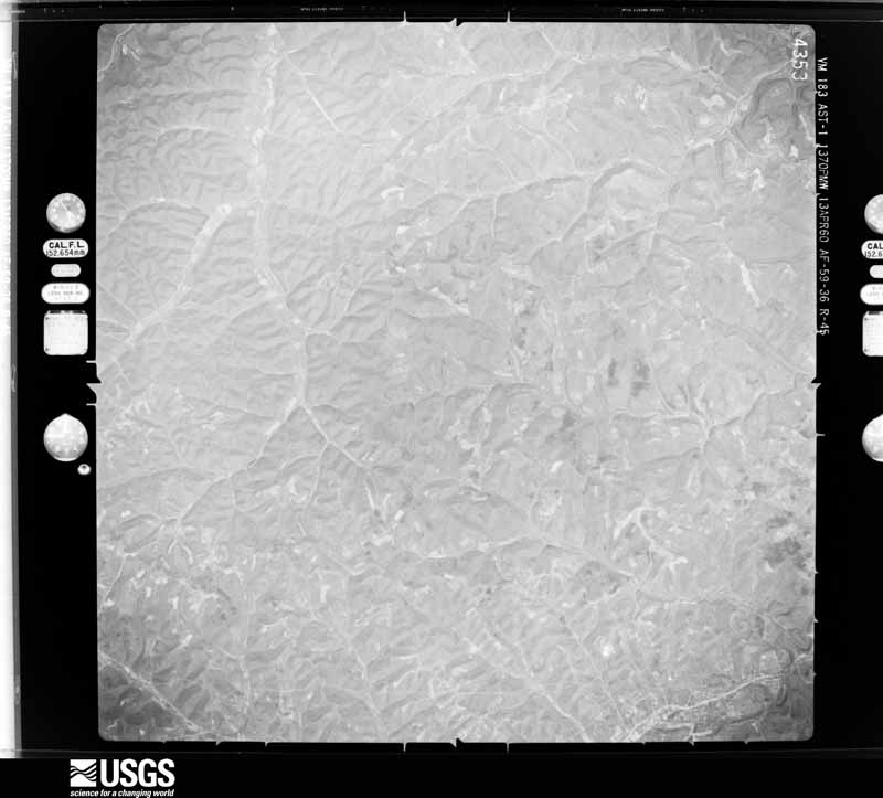
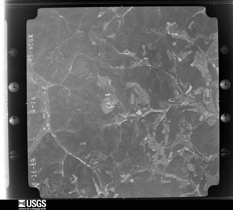
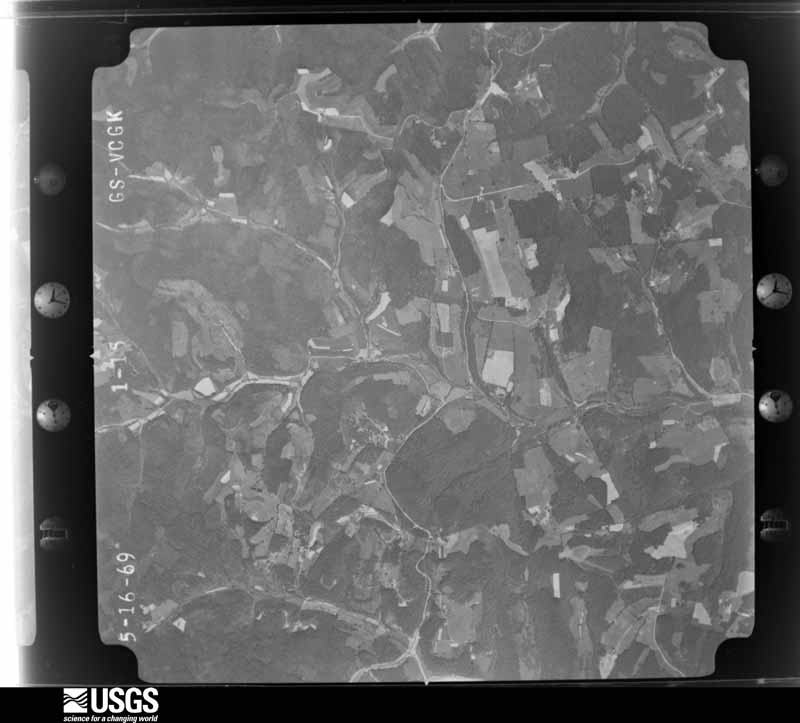
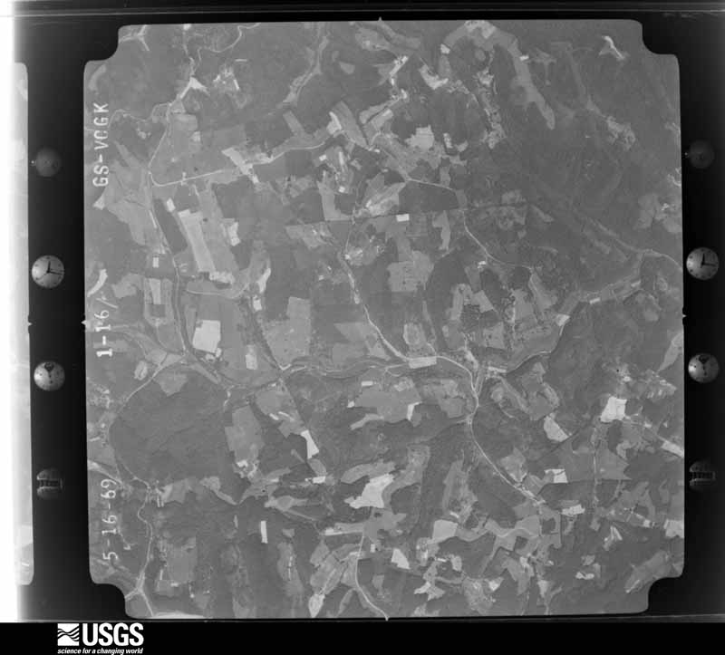
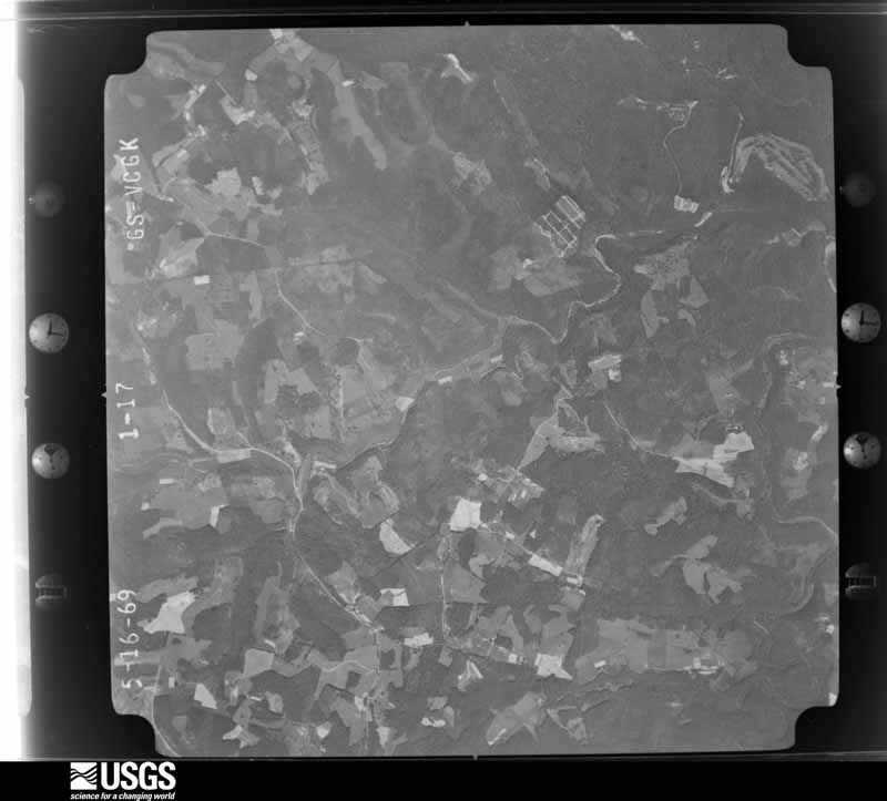
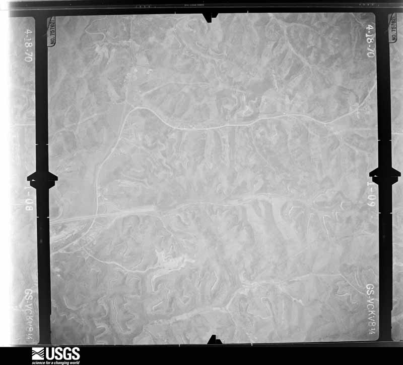
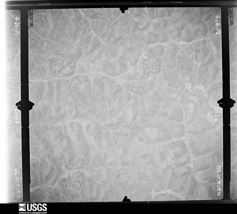
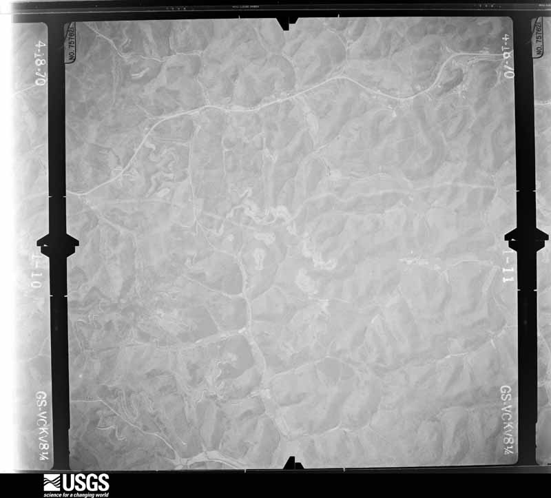
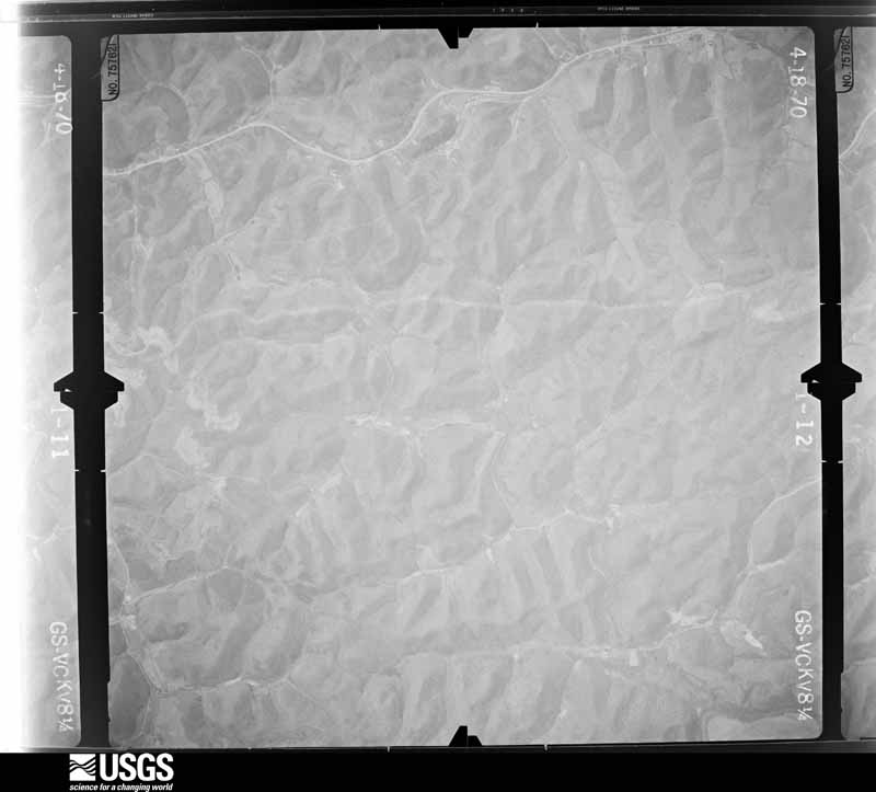
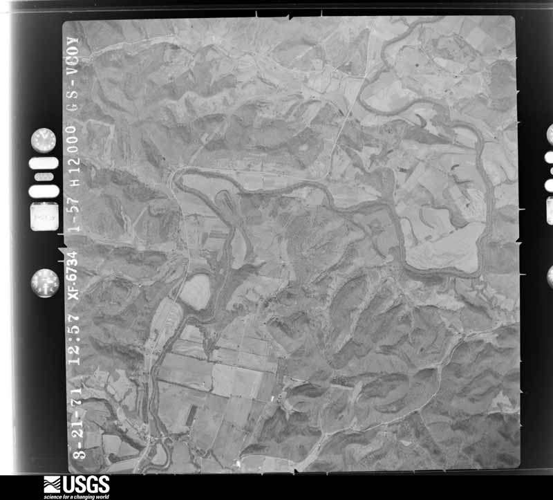
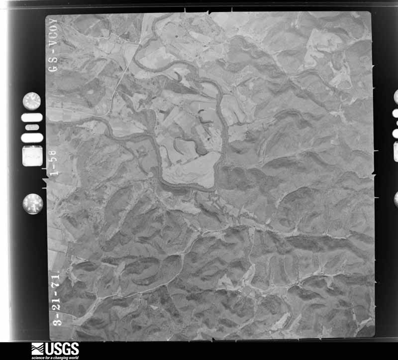
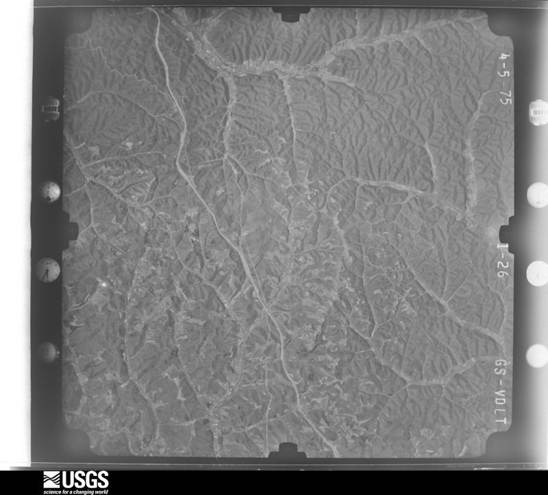
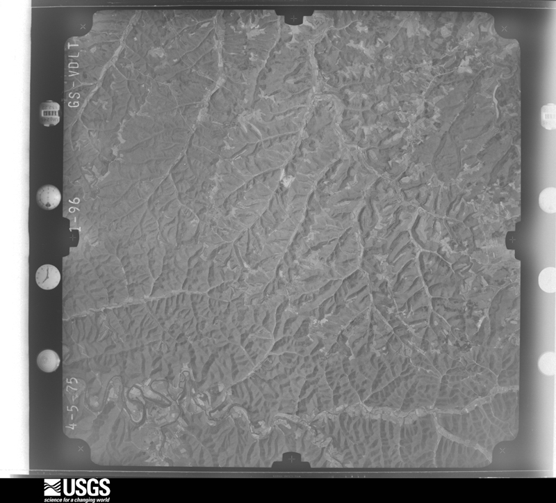
Flown by the U.S. Geological Survey between 1937 and 1989, the Aerial Photo Single Frames collection is the definitive mid-century view of the land: fields, roads and rivers as the camera saw them. The Survey holds 1,056 frames inside the rectangle that bounds this county; the 42 frames below were taken over the county itself, chosen across the decades of flights (at most four a year from that rectangle), so one flight cannot crowd out the rest. The full set is free to browse and download at EarthExplorer under the dataset Aerial Photo Single Frames.
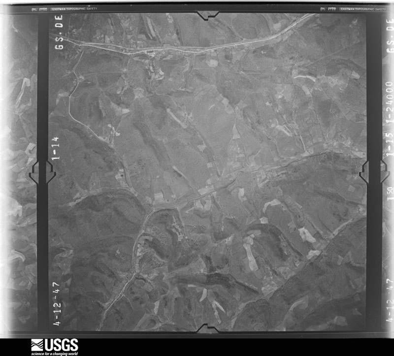
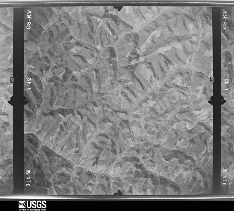
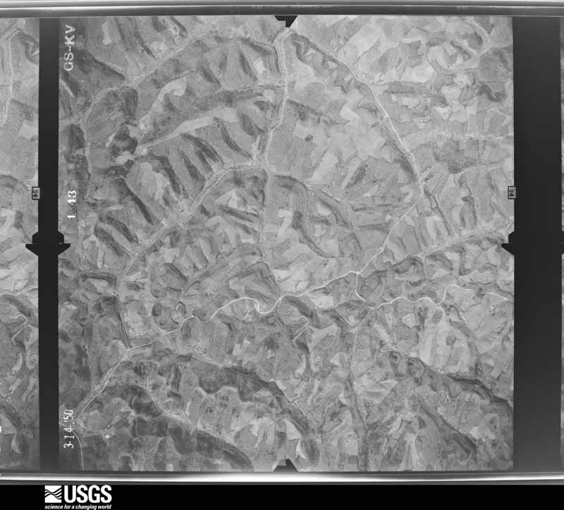
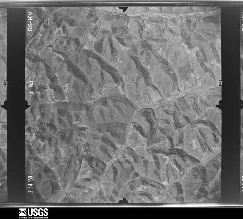

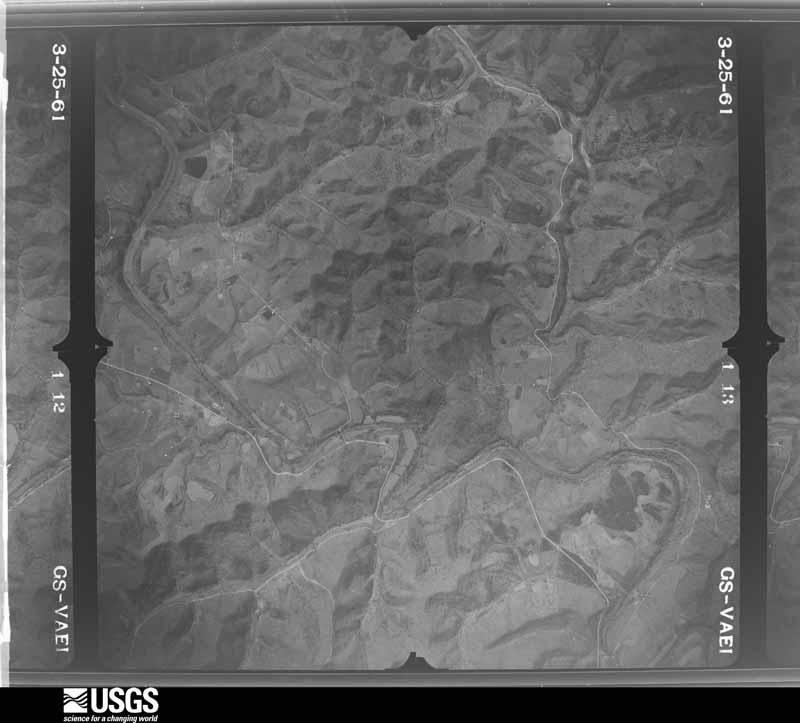
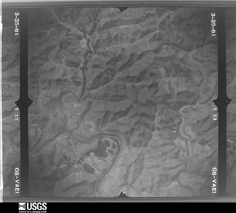
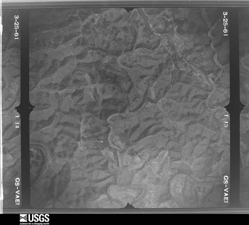
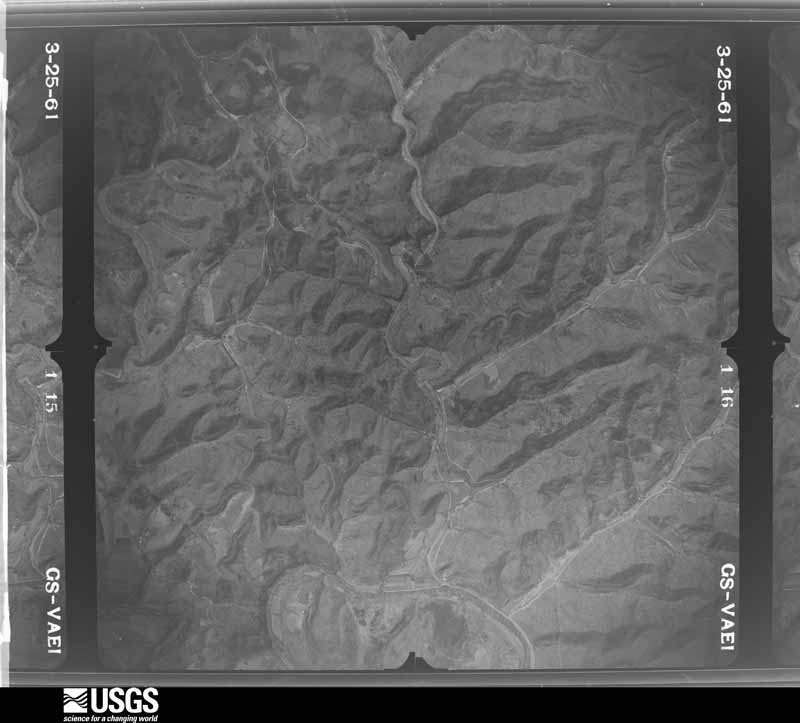
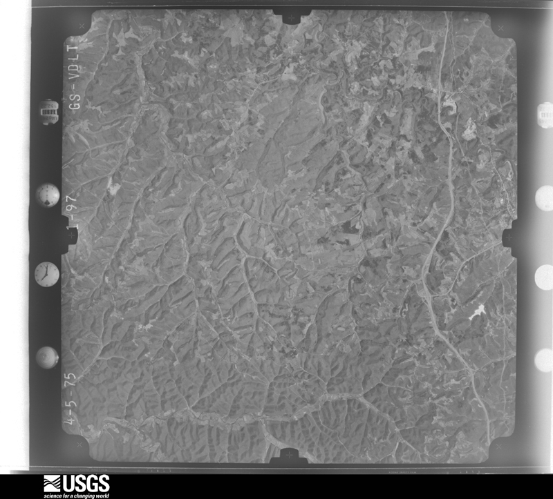
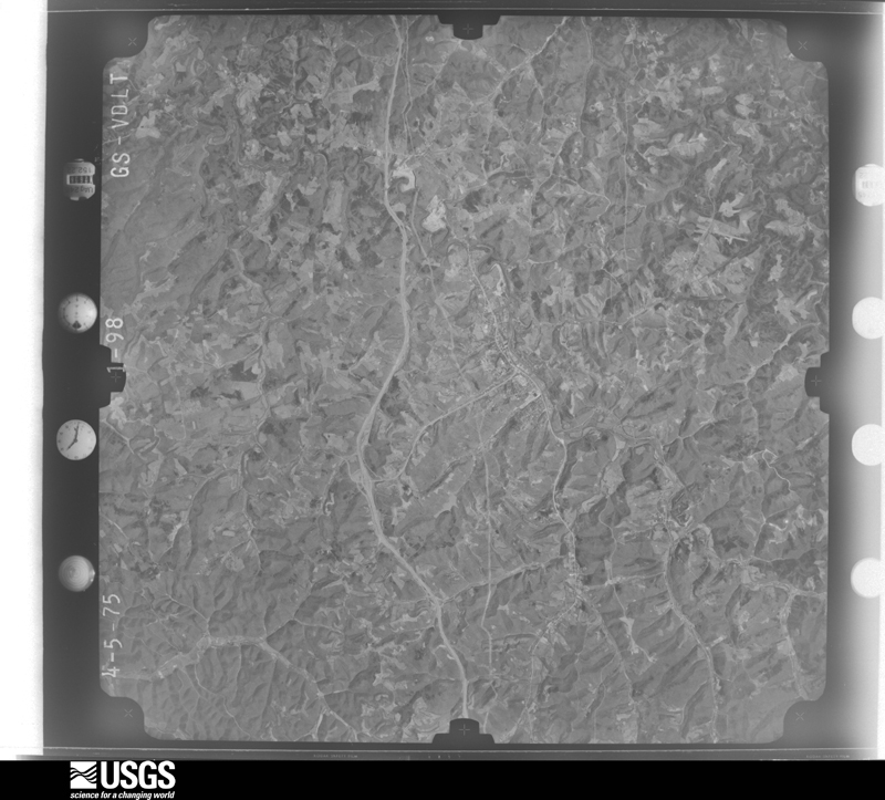
The thermometers that kept this county's weather, and the gages that measured the flow of its streams, as the federal records hold them. The extremes below are measured values from those records, not estimates.
Who lived here in 1950, one enumeration district at a time, as the Census Bureau described each district. Each row opens its official National Archives result, with Population Schedules and ED Maps available there.
Every wildfire the federal occurrence database records inside this county: 772 of them, burning about 11,277 acres. 2 started naturally and 150 were recorded as arson. Each settlement page carries the fires within five miles of it.
| Reported cause | Fires |
|---|---|
| Debris and open burning | 279 |
| Missing data/not specified/undetermined | 211 |
| Arson/incendiarism | 150 |
| Recreation and ceremony | 108 |
| Equipment and vehicle use | 10 |
| Smoking | 5 |
| Railroad operations and maintenance | 4 |
| Misuse of fire by a minor | 3 |
| Natural | 2 |
The five largest, by the area the report gives. Five of them were set deliberately.
| Date | Cause | Size | Reported by | Name on the report |
|---|---|---|---|---|
| 28 November 2005 | Missing data/not specified/undetermined | 650 acres | Kentucky Division of Forestry | STEWARD RD. |
| 7 April 1999 | Arson/incendiarism | 260 acres | Kentucky Division of Forestry | not named |
| 9 February 2001 | Arson/incendiarism | 250 acres | Kentucky Division of Forestry | not named |
| 31 October 2010 | Debris and open burning | 211 acres | Kentucky Division of Forestry | STINSON ROAD |
| 4 April 2003 | Missing data/not specified/undetermined | 200 acres | Kentucky Division of Forestry | not named |
| 18 March 1999 | Arson/incendiarism | 200 acres | Kentucky Division of Forestry | not named |
| 11 April 1999 | Arson/incendiarism | 200 acres | Kentucky Division of Forestry | not named |
| 8 March 2000 | Arson/incendiarism | 200 acres | Kentucky Division of Forestry | not named |
Every settlement page carries the fires within five miles of it - see the settlement index below.
The NOAA Storm Events Database holds 226 reports for this county, causing 4 deaths, 3 injuries and about $26,943,250 in recorded property damage. Each settlement page carries the reports that name it.
| Kind of event | Reports |
|---|---|
| Thunderstorm Wind | 82 |
| Hail | 51 |
| Flash Flood | 46 |
| Flood | 41 |
| Heavy Rain | 3 |
| Tornado | 2 |
| Lightning | 1 |
The most serious of them, by death, then injury, then recorded damage. The accounts are quoted exactly as the forecast office filed them.
| When | Event | Place named | Harm | What the report says |
|---|---|---|---|---|
| July 2010 | Flash Flood | Soldier | 1 killed, $5,000,000 | Streams such as Tygart Creek, Little and Big Sinking Creeks, Henderson Branch, Smith Run, and Mills Branch saw major flash flooding. A 72 year old woman drowned. Her mobile home was washed off its foundation and pushed some 200 yards to a bridge. The home broke into pieces at the bridge. Her body was not found until 3 days later near the mouth of the creek with the Little Sandy River. Downtown Olive Hill was flooded again. The crest was about a foot in downtown, compared to 4 to 5 feet during the flood in May. Nineteen homes were destroyed in the county with major damage to 60 to 70 others. Most of the damage was concentrated in the Grahn and Fultz vicinity. Around a half dozen vehicles were washed into Little Sinking Creek. Several private and a few public bridges were destroyed. ||Governor Steve Beshear declared a state of emergency. Carter County was included in the FEMA disaster declaration number 1925. |
| June 1996 | Flash Flood | Olive Hill | 1 killed, $75,000 | no account filed |
| June 2003 | Flash Flood | Countywide | 1 killed, $15,000 | Localized downpours of 2 inches flooded roads around Hitchins. Three spelunkers were in one of the caves around Carter Caves. They were walking in a underground stream, heading toward a cave exit. They were about 20 feet from the exit, when a 4 to 5 foot surge of water entered the cave. The first hiker, a 23 year old man, was knocked down and carried back into the cave. His body was later recovered about 300 feet back into the cave. |
| April 2014 | Heavy Rain | Beetle | 1 killed, $12,000 | Little Fork was swollen, but not flooding, near its junction with the feeder stream called Leadingham Branch. Rains of 1 to 1.5 inches likely had fallen in the vicinity over the past 24 hours. A lull in the rain occurred during the late afternoon and early evening. ||During the early evening, a 73 year male tried to drive his small vehicle across a low water bridge along the dead end gravel road leading to his home. He was a long time resident there. The low water bridge was a concrete slab in the bed of the creek. There were small pipes embedded in the concrete to handle low stream flow. The vehicle was swept off the bridge. The vehicle was not found until the 2nd of May, when water levels were lower. His body was found inside the vehicle. |
| May 1995 | Thunderstorm Wind | Countywide | 1 hurt, $1,000,000 | no account filed |
| June 2001 | Flash Flood | Grayson | 1 hurt, $250,000 | Streams, such as Star Creek, Norton Branch, Williams Creek, and Wilson Creek flooded. Twelve people were evacuated. About 40 to 50 homes and mobile homes were affected, some with just basement flooding. A barn was destroyed. A parked car was swept away near the junction of Route 60 and 207. A Rush resident said, "I've lived here 41 years and I've never seen it this bad." Water got into the Star Elementary School, causing damage to the teacher lounge and kitchen. An unconfirmed report of 6.5 inches of rain was received from a fireman on Wilson Creek. One woman received a broken leg. |
| May 1996 | Thunderstorm Wind | Olive Hill | 1 hurt, $3,000 | no account filed |
| May 2010 | Flood | Soldier | $10,000,000 | In the Olive Hill vicinity around 80 homes and 30 businesses were flooded. The Olive Hill sewer plant was damaged. Two churches in the Buffalo Creek drainage, around the community of Carter, had several feet of water inside. Two shelters were opened. Numerous roads were closed and damaged. Schools were closed on the 3rd.||. |
| June 2017 | Flash Flood | Boone Furnace | $2,300,000 | Significant flash flooding occurred in multiple spots across the county. Some of the first reports came from Carter Caves State Park where James Branch began flooding after 1.5 inches of rain in just over an hour. At the Carter County Fairgrounds, hundreds of folks were gathered for a music festival, many of whom were camping on the grounds. Barrett Creek, which runs next to the fairgrounds flooded, resulting in 139 campers and/or tow vehicles being damaged or totaled. Water rescues were performed, but fortunately there were no flood related injuries or deaths. Three sheriff cruisers were also totaled by the flood waters. Additional flooding occurred in Grayson and Olive Hill, where multiple houses were flooded. There was also flooding along US Route 60 and at the intersection of State Routes 654 and 854 near the Boyd County line. |
| April 2015 | Flood | Denton | $1,200,000 | Small stream flooding occurred with the final rounds of showers during the evening of the 3rd mostly in the eastern portion of the county. This was mainly along the Little Fork watershed. An earth level had nearly 3 feet of dirt washed away from its center near Willard. ||In the Hitchins to Willard vicinity, the county damage assessment was 20 homes destroyed with 18 other homes with major damage. Another 27 homes had minor damage. A bank and 2 churches also sustained water damage. The former elementary school in Hitchins, now a private school, also had water damage. In the southwestern part of the county, West Brinegar Road had a culvert wash out from Macabee Creek.||The Little Sandy River crested nearly 3 feet higher, compared to the high water on the 11th of March. The water level at Grayson reached 24.5 feet during the afternoon on the 4th. Flood stage is 21 feet. Roads and numerous fields were blocked by high water. Some barns and outbuildings were also surrounded by water. |
| May 2003 | Flash Flood | Countywide | $1,000,000 | no account filed |
| March 1997 | Flash Flood | Countywide | $1,000,000 | no account filed |
| November 1993 | Hail | not stated | $500,000 | Strong winds damaged several homes and downed trees in and south of Grayson. |
| November 1993 | Thunderstorm Wind | not stated | $500,000 | Strong winds damaged several homes and downed trees in and south of Grayson. |
| June 2012 | Thunderstorm Wind | Eby | $400,000 | Large trees and branches fell in scattered locations throughout the county. |
| April 2015 | Flood | Access | $375,000 | Numerous roads were blocked by overflowing small streams on the 9th, especially around Hitchins and Willard. Water got into a few buildings along the Dry Fork in the Willard area. This included a church. Along Route 1 at the junction of the Dry Fork and the Little Fork, a non porfit food pantry lost thousands of dollars of food, along with damage to their appliances. A few vehicles were flooded. For a second time this month, homes were flooded in the Hitchins and Willard vicinity. According to county damage assessment, no additional homes were destroyed. The affected dwellings were still trying to clean up from the flood that occurred on the 3rd and 4th of the month. Telephone lines also went down during the afternoon of the 14th around Hitchins. ||A strong rise on the Little Sandy River occurred, rising above flood stage during the midday on the 9th. The crest was 23.6 feet late on the 14th, a little less than a foot lower than on the 4th of April. The water receded by early afternoon on the 15th along the Little Sandy River. |
| May 2008 | Tornado (EF1) | Cory | $300,000 | A tornado briefly touched down in the Goose Creek and Grahn Fork vicinity, east of Olive Hill. Winds were estimated near 100 mph. Along the path, numerous trees were snapped off. Many of these trees were evergreen. A roof was blown off a manufactured home along Goose Creek. About a half dozen other homes had roof damage. Outbuildings and a car port were also damaged. Some telephone poles were snapped off. |
| July 1996 | Flash Flood | Northern Portion | $300,000 | no account filed |
| July 2012 | Flash Flood | Olive Hill | $285,000 | Three to 5.5 inches of rain fell in about 3 hours in a west to east band, mainly on the north side of Interstate 64. A gauge at Carter Caves measured 3.11 inches in just an hour. Rain totals included 5.35 inches at Carter Caves, 4.27 inches at Olive Hill and 3.78 inches at Grayson.||Several small streams and their feeder runs flooded. Near the Lewis County border, Jordon Fork and McGlone Fork saw the most severe flooding. Other flooded basins included Smith Creek, Brushy Creek, Long Fork, and Smoky Creek. Sections of roads and culverts were washed out or damaged. There were about 10 to 15 homes flooded or affected. Two homes were washed downstream and destroyed. One was a mobile home, with 2 adults and dogs inside. They were rescued. The other was an unoccupied house. In addition, another 10 to 15 outbuildings were flooded. At least 2 vehicles were washed away and destroyed. |
| March 1997 | Flash Flood | Countywide | $250,000 | no account filed |
| June 2003 | Flash Flood | Grayson | $200,000 | Williams Creek flooded roads. About a dozen homes were flooded around Grayson. |
| August 2018 | Flash Flood | Grayson | $150,000 | An abundant amount of rain fell over Carter County causing high water along Highway 1 in Hitchins. In Grayson, parts of the town were evacuated due to flooding. More than 20 apartments were evacuated due to high water with some of the bottom floor units having water inside them. The Carter County fairgrounds were also evacuated as Barrett Creek flooded. The events on the final day of the fair were cancelled. |
| July 2015 | Flash Flood | Smiths Creek | $150,000 | Several streams quickly came out of their banks. Roads were flooded and closed. People were stranded in their houses. Olive Hill measured 2.23 inches for their 24 hour total, but most likely fell in less than 2 hours. Grayson measured 1.4 inches of rain. |
| February 2000 | Flash Flood | Countywide | $150,000 | no account filed |
| July 1996 | Flash Flood | Hitchins | $150,000 | no account filed |
| June 2017 | Flood | Boone Furnace | $100,000 | Following flash flooding earlier in the day, multiple waterways remained out of their banks into the afternoon. This included Tygarts Creek in Olive Hill and the Little Sandy River around Grayson. Many roads remained closed due to high water. Several homes remained surrounded by water. |
| July 2015 | Flash Flood | Upper Tygart | $100,000 | Small runs flowing into Tygarts Creek from the hillsides flooded around Olive Hill. Examples of these small creeks were Mill Branch and Henderson Branch. Urban flash flooding occurred in the town of Olive Hill, closing many streets and flooding a few vehicles. Water was 6 to 12 inches deep in some streets. Water surrounded buildings, causing minor flood damage. Yet, water levels began to recede before serious damage occurred. The main stem of Tygarts Creek did not flood.||Other flooding occurred in the eastern portion of the county. Near Norton Branch, the road along Shanty Branch was impassable. Water covered portions of Route 1654. Damron Branch also overflowed near Grayson. |
| March 2021 | Flood | Grayson | $50,000 | The Little Sandy River at Grayson rose above its 21 foot flood stage on the last day of February. On March 1st the river crested at 27.95 feet, tentatively the fifth highest crest of all time at this location, then returned to its banks the next day on the 2nd. Extensive property damage occurred in the town of Grayson while the river was out of its banks and backwater along streams and creeks drained into the Little Sandy. Many of the local roadways became unusable as flood water spilled into the town and up toward the I-64 corridor. |
| July 2010 | Flood | Olive Hill | $50,000 | After a night of flash flooding, the larger streams and the Little Sandy River were still flooding across roads and fields. The crest at Grayson on the Little Sandy River was near 25 feet during the late afternoon on the 21st. Flood stage is 21 feet. Damage was minor compared to the earlier flash flooding. |
| June 1994 | Hail | not stated | $50,000 | Dime-sized hail, downed trees, and downed power lines were reported by a local spotter four miles east of Grayson. |
| June 1994 | Thunderstorm Wind | not stated | $50,000 | Dime-sized hail, downed trees, and downed power lines were reported by a local spotter four miles east of Grayson. |
| April 2011 | Flood | Access | $40,000 | Minor small stream flooding in the morning across eastern portions of the county lead to a strong rise on the Little Sandy River. The river went above flood stage at Grayson around midday on the 12th. The crest was around 23.5 feet during the early evening. Flood stage is 20 feet. Some residents of the River Run community near Grayson were evacuated as a precaution. |
| September 2006 | Flash Flood | Countywide | $40,000 | Rains of 2.5 to 3 inches were widespread. Numerous roads were flooded by small streams. Olive Hill measured 3.48 inches in their 24 hour report. Water rescues were required around 0420E when water, 4 to 5 feet deep, surrounded mobile homes near Grayson. A local state of emergency was declared by Carter County officials. |
| June 1996 | Thunderstorm Wind | Soldier | $40,000 | no account filed |
| June 2021 | Flash Flood | Upper Tygart | $30,000 | The Upper Tygart Branch at Mile Marker 4.1 of US Route 60 near Olive Hill rapidly rose and flooded the roadway and nearby areas, including Tygart Elementary School. US 60 was closed overnight on the 9th to allow emergency repairs to be conducted. |
| April 2020 | Thunderstorm Wind | Limestone | $30,000 | A roof was ripped off of a mobile home, out buildings were destroyed, and several trees were blown down due to strong winds associated with a microburst. |
| August 1997 | Lightning | Grayson | $30,000 | The emergency dispatch system for the county was damaged. The director said, "we lost the entire control console". |
| May 2016 | Thunderstorm Wind | Grayson | $25,000 | A damage path started along Criswell Lane, where a few trees were snapped and uprooted. A single wide trailer was destroyed near the intersection of Satellite Road and Route 60. The strongest winds were estimated around 85 mph in this valley. The damage extended to Sunset Hill Road and ended along Green Oaks Drive. Several large trees were uprooted. Two small old barns were also damaged in this event. Luckily, no injuries occurred. |
| May 2016 | Hail | Grayson | $25,000 | In addition to the wind damage, golf ball size hail fell along Green Oaks Drive. |
| July 2015 | Thunderstorm Wind | Olive Hill | $25,000 | Several trees were blown down, some onto power lines. One tree fell onto a house, trapping the resident inside. |
| July 2015 | Flood | Rosedale | $25,000 | After the flash flooding, the Little Sandy River crested at 22.19 feet in Grayson during the early morning hours of the 15th. Flood stage is 19 feet. Roads and fields were flooded. |
| February 2014 | Flood | Willard | $25,000 | The river at Grayson crested around 22.3 feet during the afternoon, a little more than a foot over flood stage. No homes or businesses were flooded. Roads were blocked and damaged by flood waters. |
| June 2012 | Thunderstorm Wind | Olive Hill | $25,000 | Trees were blown down. |
| August 2012 | Flash Flood | Pactolus | $25,000 | The Grayson cooperative observer measured 3.36 inches in 2 hours ending around 1500E. An automatic gauge in another location in Grayson measured a total of 2.2 inches. ||Damron Branch flooded roads and vehicles near Route 60. Water levels reached the floor boards of a few vehicles. Urban street flooding occurred too. |
| June 2012 | Thunderstorm Wind | Carter | $25,000 | Trees were blown onto utility wires and blocked roads. |
| August 2010 | Thunderstorm Wind | Grayson | $25,000 | Trees were blown down in town. A metal roof was damaged. |
| April 2009 | Thunderstorm Wind | Charlotte | $25,000 | A barn was destroyed and a mobile home was damaged. Thin sheets of corrugated metal were scattered about the landscape. Several trees were blown over. |
| July 1986 | Tornado (F1) | not stated | $25,000 | no account filed |
| April 2020 | Thunderstorm Wind | Mt Savage | $20,000 | A roof of a structure was blown off and numerous trees were blown down near the town of Grayson. |
| March 2015 | Flood | Jeriel | $20,000 | Small streams flooded roads by the afternoon of the 4th. One example was Little Sinking Creek. Wilson Creek flooded near Route 60. |
| July 2015 | Thunderstorm Wind | Grayson | $20,000 | Several trees were blown down. A few trees fell onto power lines. |
| June 2014 | Thunderstorm Wind | Grahn | $20,000 | Trees were blown down onto power lines. |
| August 2010 | Thunderstorm Wind | Grayson | $20,000 | Several trees were blown down. A few trees fell onto power lines. |
| February 2009 | Thunderstorm Wind | Grayson | $20,000 | Trees and large branches fell on power lines. |
| June 2003 | Flash Flood | Hitchins | $20,000 | Little Fork flooded and closed Route 1, south of Grayson. |
| August 1997 | Thunderstorm Wind | Grayson | $20,000 | Uprooted trees blew onto a house along Route 7. A 100 pound well box was blown 70 feet. |
| June 2021 | Flash Flood | Olive Hill | $15,000 | Both of the west bound lanes of Interstate 64 at Mile Marker 166 were underwater near the town of Gregoryville. In Fultz, Four Mile Road became flooded and a portion of the roadway was washed out. Acorn Lane was also under water for a brief time near Cold Springs. |
| December 2015 | Flash Flood | Norton Branch | $15,000 | Streams such as Williams Creek, Straight Creek, and Glancy Fork overflowed and blocked adjacent roads in the southeastern portion of the county. |
| May 2009 | Flood | Jeriel | $15,000 | Minor small stream flooding was seen. One such creek was Small Canoe Run. It flowed over Route 1 in the Beach Grove community. Straight Creek flowed across Route 773 near Denton. |
| May 2001 | Flash Flood | North Portion | $15,000 | Small streams overflowed after 2 to 3 inches of rain fell. The headwaters of Tygarts Creek flooded. William Creek flooded in the Kilgore vicinity. Schools were canceled around Carter. |
The Survey's mineral resources record lists 30 workings inside this county. 10 still produce and 20 are closed or unrecorded. Each settlement page carries the workings within five miles of it.
| Commodity | Workings |
|---|---|
| Clay | 24 |
| Silica | 3 |
| Stone, Crushed/Broken | 3 |
The least common of them first, because a county's hundredth gravel pit says nothing its first ten did not.
Named settlements recorded in the Geographic Names Information System, each with the topographic sheets covering it. Villages, hamlets and abandoned places alike. Each is shown with the nearest named watercourse or landform and the survey quadrangle it falls on. The 2 places that were also surveyed for fire insurance come first, with the number of atlases and photographs held for them.
Grayson census division · 41143 · On Town Branch · Grayson quadrangle
15 sheets, 1903 to 1982
Fire insurance: 2 atlases
Olive Hill census division · 41164 · On Mill Branch · Olive Hill quadrangle
9 sheets, 1950 to 1982
Fire insurance: 3 atlases
Willard census division · 41143 · On Leadingham Branch · Willard quadrangle
15 sheets, 1903 to 1982
No longer a settlement
Grayson census division · 41143 · On Canoe Run · Grayson quadrangle
15 sheets, 1903 to 1982
Willard census division · 41143 · On Leadingham Branch · Willard quadrangle
15 sheets, 1903 to 1982
Carter census division · 41143 · Near Whitehouse Hollow · Tygarts Valley quadrangle
8 sheets, 1950 to 1982
Upper Tygart census division · 41164 · On Brushy Fork · Haldeman quadrangle
10 sheets, 1929 to 1982
Carter census division · 41164 · On Smith Creek · Tygarts Valley quadrangle
8 sheets, 1950 to 1982
Grayson census division · 41143 · On Friends Branch · Tygarts Valley quadrangle
8 sheets, 1950 to 1982
Olive Hill census division · 41164 · On Perry Branch · Olive Hill quadrangle
9 sheets, 1950 to 1982
Grahn census division · 41164 · Near Whitley Knob · Bruin quadrangle
9 sheets, 1950 to 1982
No longer a settlement
Olive Hill census division · 41164 · Near Blueberry Ridge · Olive Hill quadrangle
9 sheets, 1950 to 1982
No longer a settlement
Grahn census division · 41164 · On Goose Creek · Grahn quadrangle
9 sheets, 1950 to 1982
Willard census division · 41143 · On Gum Branch · Willard quadrangle
15 sheets, 1903 to 1982
No longer a settlement
Grayson census division · 41143 · Near Potato Knob · Tygarts Valley quadrangle
8 sheets, 1950 to 1982
Carter census division · 41164 · Near Staffords Hill · Wesleyville quadrangle
8 sheets, 1950 to 1982
Upper Tygart census division · 41164 · On Bradley Branch · Soldier quadrangle
8 sheets, 1951 to 1982
Willard census division · 41143 · On Powell Creek · Grayson quadrangle
15 sheets, 1903 to 1982
Olive Hill census division · 41164 · On Griffy Branch · Olive Hill quadrangle
9 sheets, 1950 to 1982
Carter census division · 41143 · On Rock Springs Branch · Tygarts Valley quadrangle
8 sheets, 1950 to 1982
Upper Tygart census division · 41164 · On Dry Branch · Olive Hill quadrangle
9 sheets, 1950 to 1982
Upper Tygart census division · 41164 · On Proctor Branch · Ault quadrangle
8 sheets, 1950 to 1982
No longer a settlement
Willard census division · 41143 · On Gum Branch · Willard quadrangle
15 sheets, 1903 to 1982
Willard census division · 41168 · On Mill Road Branch · Rush quadrangle
15 sheets, 1903 to 1982
Grayson census division · 41143 · On Smith Branch · Grahn quadrangle
9 sheets, 1950 to 1982
Upper Tygart census division · 41164 · Near Montague Hollow · Soldier quadrangle
8 sheets, 1951 to 1982
Willard census division · 41143 · On Powell Creek · Grayson quadrangle
15 sheets, 1903 to 1982
Grayson census division · 41143 · On Friends Branch · Tygarts Valley quadrangle
8 sheets, 1950 to 1982
Upper Tygart census division · 41164 · On Greenbrier Branch · Ault quadrangle
8 sheets, 1950 to 1982
Willard census division · 41143 · On Taylor Branch · Willard quadrangle
15 sheets, 1903 to 1982
Willard census division · 41143 · On Johns Run · Willard quadrangle
15 sheets, 1903 to 1982
Upper Tygart census division · 41164 · On Jacobs Fork · Olive Hill quadrangle
9 sheets, 1950 to 1982
Upper Tygart census division · 41164 · On Thompson Branch · Olive Hill quadrangle
9 sheets, 1950 to 1982
Grayson census division · 41143 · Near Tinsley Hill · Grayson quadrangle
15 sheets, 1903 to 1982
No longer a settlement
Willard census division · 41146 · On Gum Branch · Grayson quadrangle
15 sheets, 1903 to 1982
Olive Hill census division · 41164 · On Goose Creek · Olive Hill quadrangle
9 sheets, 1950 to 1982
Grayson census division · 41168 · On Norton Branch · Rush quadrangle
15 sheets, 1903 to 1982
Upper Tygart census division · 41164 · On Mocabee Creek · Ault quadrangle
8 sheets, 1950 to 1982
No longer a settlement
Grayson census division · 41143 · On Fall Branch · Grayson quadrangle
15 sheets, 1903 to 1982
Carter census division · 41164 · On Lick Branch · Wesleyville quadrangle
8 sheets, 1950 to 1982
Olive Hill census division · 41164 · Near Smoky Ridge · Olive Hill quadrangle
9 sheets, 1950 to 1982
Olive Hill census division · 41164 · On Holland Branch · Olive Hill quadrangle
9 sheets, 1950 to 1982
No longer a settlement
Willard census division · 41143 · On Huff Run · Grayson quadrangle
15 sheets, 1903 to 1982
Carter census division · 41164 · On Long Fork · Wesleyville quadrangle
8 sheets, 1950 to 1982
Grahn census division · 41164 · Near Hubbard Hollow · Olive Hill quadrangle
9 sheets, 1950 to 1982
No longer a settlement
Upper Tygart census division · 41164 · On Jacobs Fork · Olive Hill quadrangle
9 sheets, 1950 to 1982
No longer a settlement
Carter census division · 41164 · On Stamper Fork · Olive Hill quadrangle
9 sheets, 1950 to 1982
Upper Tygart census division · 41164 · Near Montague Hollow · Soldier quadrangle
8 sheets, 1951 to 1982
Grayson census division · 41143 · On Fighting Fork · Grayson quadrangle
15 sheets, 1903 to 1982
Willard census division · 41146 · On Katy Branch · Grayson quadrangle
15 sheets, 1903 to 1982
Grayson census division · 41143 · Near Bald Eagle Hill · Grayson quadrangle
15 sheets, 1903 to 1982
No longer a settlement
Upper Tygart census division · 41164 · On Flat Fork · Soldier quadrangle
8 sheets, 1951 to 1982
Carter census division · 41164 · On Jordan Fork · Wesleyville quadrangle
8 sheets, 1950 to 1982
Willard census division · 41143 · On Lost Creek · Willard quadrangle
15 sheets, 1903 to 1982
Willard census division · 41168 · On Twin Lick · Rush quadrangle
15 sheets, 1903 to 1982
Carter census division · 41164 · On Slate Lick · Tygarts Valley quadrangle
8 sheets, 1950 to 1982
The vanished settlements of Carter County: the places named above that are no longer on the map.
9 topographic sheets and 3 fire insurance atlases, 1920 to 1942
15 topographic sheets and 2 fire insurance atlases, 1929
The complete index, with nothing left out. Each of these is a separate record with its own page: a federal survey report, or the case file that argued a property on to the National Register. Both are public domain and reproduced word for word.
The vanished settlements of Carter County, the places these records name that are no longer on the map.