 Block
From the record
2 National Register listings published here.
Sources: the National Register database, National Park Service
55 topographic sheets cover 67 settlements here, and 2 properties are on the National Register of Historic Places.
2 National Register listings published here.
Sources: the National Register database, National Park Service
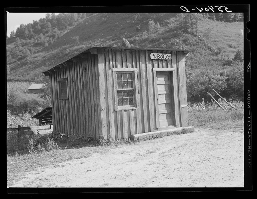
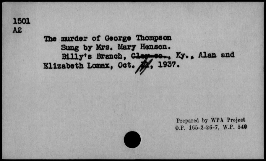
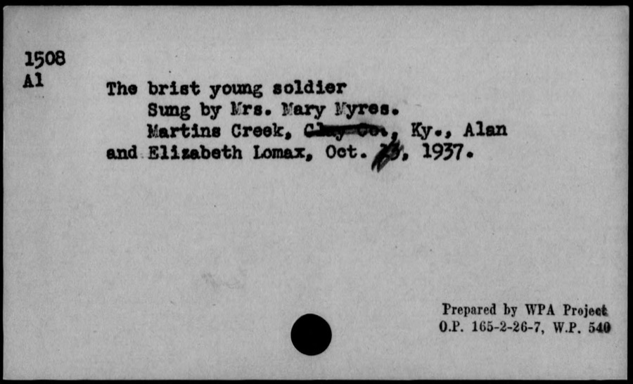
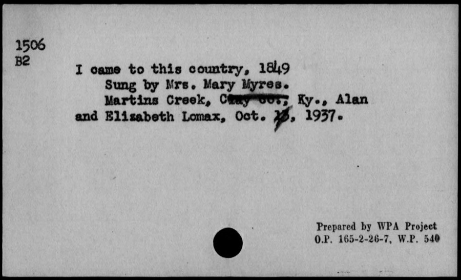
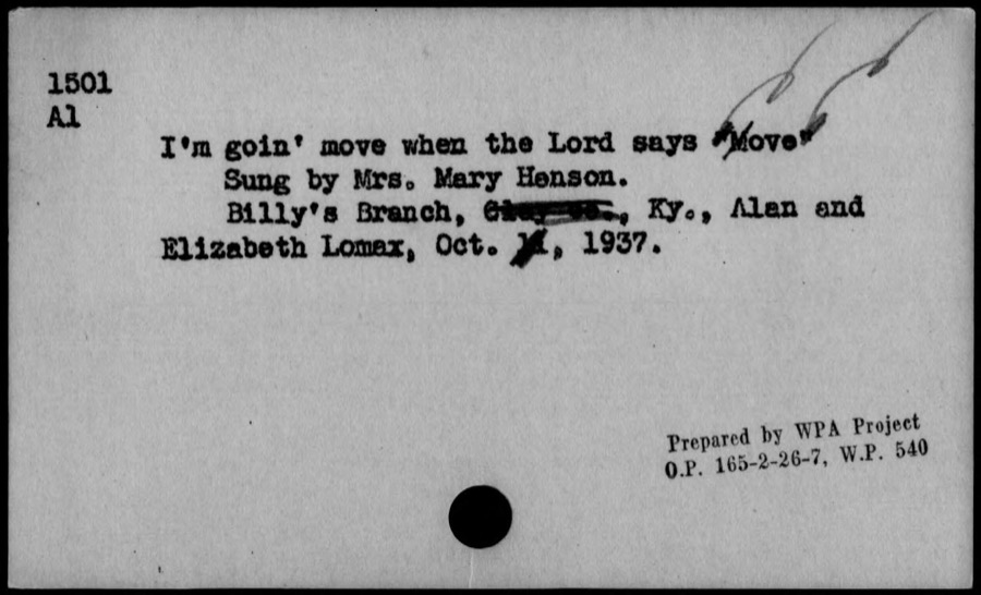
Taken for the Office of War Information and the Farm Security Administration, who photographed the country between 1935 and 1944. Works of United States government photographers, with no known restriction on use. Each opens its catalogue record.

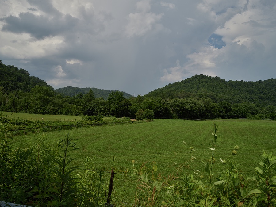

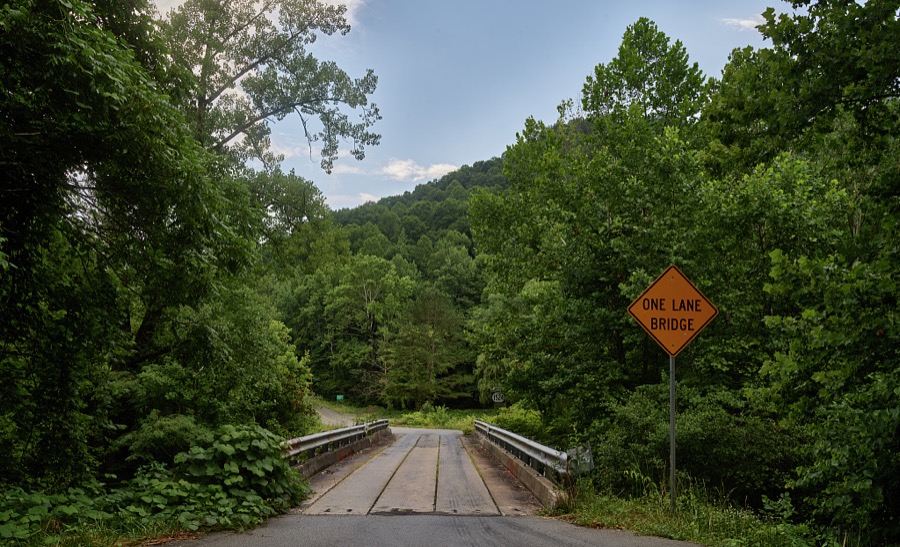
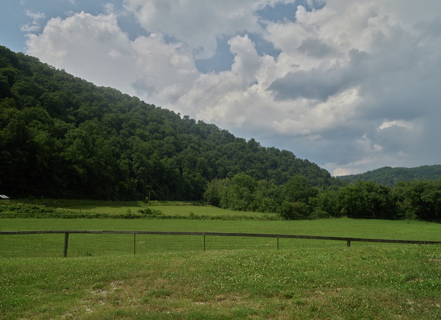













Every property in this county listed on the National Register of Historic Places, with the year it was listed and the federal nomination document.
| Photograph | Property | Type | Listed | Reference |
|---|---|---|---|---|
| Manchester Historic District | district | 2023 | 100008883 | |
| Peabody-Fordson Historic District | district | 2017 | 89002099 |
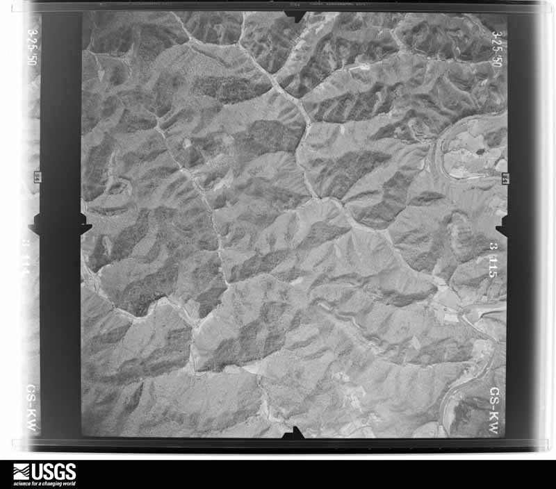
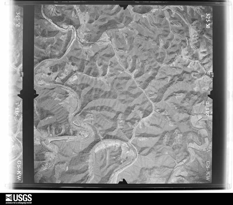
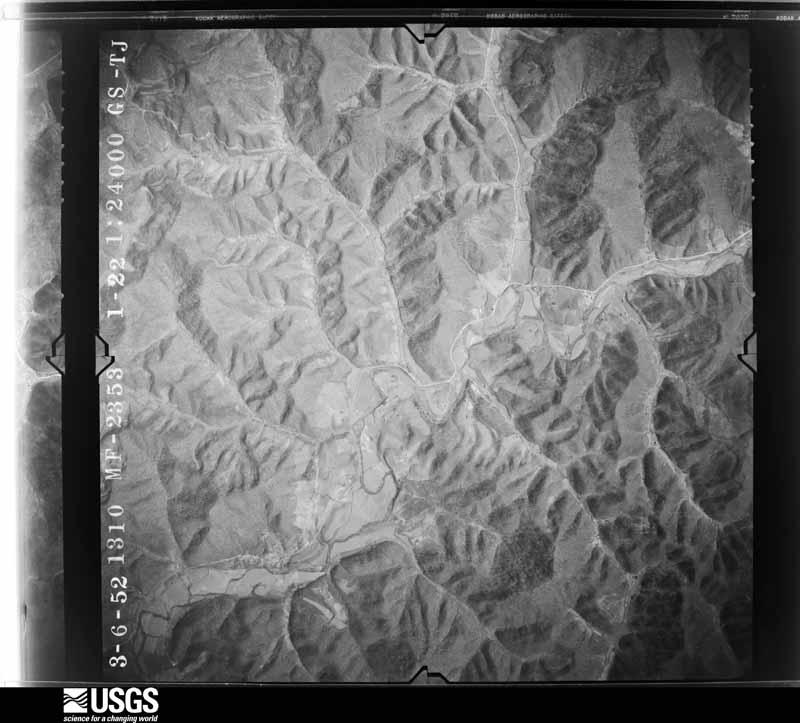
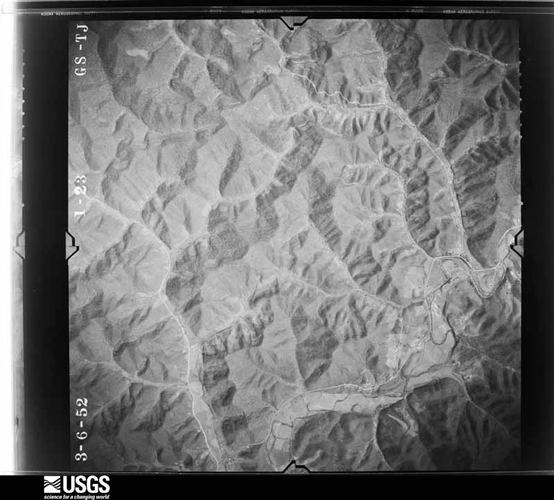
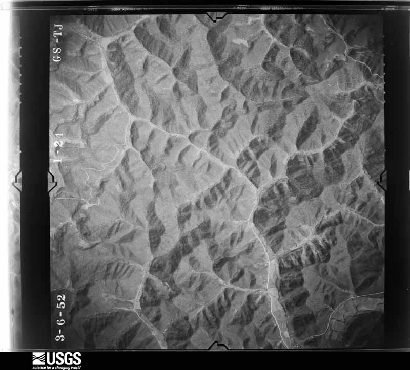
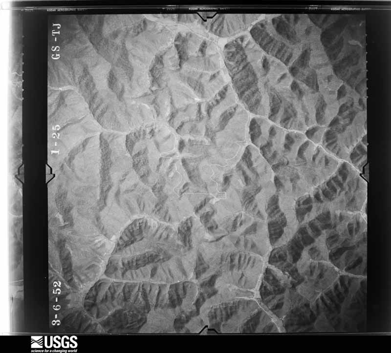
Flown by the U.S. Geological Survey between 1937 and 1989, the Aerial Photo Single Frames collection is the definitive mid-century view of the land: fields, roads and rivers as the camera saw them. The Survey holds 814 frames inside the rectangle that bounds this county; the 36 frames below were taken over the county itself, chosen across the decades of flights (at most four a year from that rectangle), so one flight cannot crowd out the rest. The full set is free to browse and download at EarthExplorer under the dataset Aerial Photo Single Frames.






























The thermometers that kept this county's weather, and the gages that measured the flow of its streams, as the federal records hold them. The extremes below are measured values from those records, not estimates.
Who lived here in 1950, one enumeration district at a time, as the Census Bureau described each district. Each row opens its official National Archives result, with Population Schedules and ED Maps available there.
Every wildfire the federal occurrence database records inside this county: 1,642 of them, burning about 62,205 acres. 7 started naturally and 596 were recorded as arson. Each settlement page carries the fires within five miles of it.
| Reported cause | Fires |
|---|---|
| Debris and open burning | 625 |
| Arson/incendiarism | 596 |
| Missing data/not specified/undetermined | 317 |
| Recreation and ceremony | 77 |
| Equipment and vehicle use | 9 |
| Natural | 7 |
| Misuse of fire by a minor | 5 |
| Railroad operations and maintenance | 3 |
| Smoking | 3 |
The five largest, by the area the report gives. 7 of them were set deliberately.
| Date | Cause | Size | Reported by | Name on the report |
|---|---|---|---|---|
| 3 November 2001 | Arson/incendiarism | 3,406 acres | Daniel Boone National Forest | CRANE CREEK |
| 1 November 2000 | Arson/incendiarism | 2,500 acres | Kentucky Division of Forestry | not named |
| 1 November 2001 | Arson/incendiarism | 1,291 acres | Daniel Boone National Forest | FEALTY GAP |
| 24 November 2016 | Debris and open burning | 1,000 acres | Kentucky Division of Forestry | BOLTS BR. |
| 2 November 2000 | Arson/incendiarism | 1,000 acres | Kentucky Division of Forestry | not named |
| 10 November 1999 | Arson/incendiarism | 776 acres | Daniel Boone National Forest | TOWN BRANCH II |
| 12 November 1999 | Arson/incendiarism | 753 acres | Daniel Boone National Forest | GROUNDHOG |
| 5 November 2001 | Arson/incendiarism | 687 acres | Daniel Boone National Forest | COOL SPRINGS |
Every settlement page carries the fires within five miles of it - see the settlement index below.
The NOAA Storm Events Database holds 333 reports for this county, causing 3 deaths, 2 injuries and about $4,270,310 in recorded property damage. Each settlement page carries the reports that name it.
| Kind of event | Reports |
|---|---|
| Thunderstorm Wind | 204 |
| Hail | 52 |
| Flash Flood | 41 |
| Flood | 19 |
| Tornado | 7 |
| Heavy Rain | 6 |
| Debris Flow | 3 |
| Funnel Cloud | 1 |
The most serious of them, by death, then injury, then recorded damage. The accounts are quoted exactly as the forecast office filed them.
| When | Event | Place named | Harm | What the report says |
|---|---|---|---|---|
| July 2022 | Flash Flood | Littleton | 3 killed | Multiple reports of flash flooding were received from western Clay County. Reports included:||3:00 AM EST - The bridge at Skull Branch was reported washed out.|3:00 AM EST - The newspaper indicated multiple reporst of flash flooding in the Little Bullskin area near Oneida around this time. Some reports of flooding were also found on social media.|3:18 AM EST - A RV reportedly washed away along Booneville Road near Oneida. |3:20 AM EST - Beech Creek Road at the Bert T. Combs Campground was closed due to flooding.|4:40 AM EST - The culvert for KY-1482 over Panco Branch at the Intersection of Panco Drive washed away.|7:00 AM EST - The cooperative observer in Oneida measured 7.20 inches of rainfall in a 24 hour period.|2:09 PM EST (28th) - A landslide (debris flow) was reported on KY-11 near mile marker 22 in Clay County, near the community of Teges. |
| May 2024 | Thunderstorm Wind | Horse Creek | 1 hurt, $10,000 | A tree fell down onto a picnic shelter at Rawlings Stinson Park in Manchester. One person sustained non-life threatening injuries in the event, and was transported to the hospital by ambulance. |
| July 2004 | Flash Flood | Manchester | 1 hurt, $5,000 | Several roads were flooded, including Highway 638. One woman was injured when leaving a stalled car on Greenbriar Road and lost footing in the flood water. She was treated and released from a hospital with minor injuries. |
| April 1974 | Tornado (F2) | not stated | $2,500,000 | no account filed |
| July 1984 | Tornado (F0) | not stated | $250,000 | no account filed |
| May 2024 | Thunderstorm Wind | Sibert | $200,000 | Both a tree and electric lines fell down onto a house on Lucy Lane, off KY-80 near Manchester. This caused the house to catch fire. |
| April 1998 | Flash Flood | Countywide | $200,000 | no account filed |
| February 2020 | Flood | Oneida | $120,000 | Dispatch reported water over Kentucky Highway 66 near Oneida, while several other communities and roads across Clay County were impacted by flood waters. |
| May 2024 | Thunderstorm Wind | Littleton | $100,000 | Trees were reported down on Beech Creek Apartments in Manchester. The building had to be evacuated a result. |
| April 2008 | Thunderstorm Wind | Manchester | $100,000 | Highway 11 became impassable when a barn and a house were blown into the roadway. |
| June 2019 | Flash Flood | Burning Spgs | $75,000 | Local media reported flash flooding in Burning Springs, including along U.S. Highway 421. This prompted the county to declare a State of Emergency as nearly $75,000 of damage was incurred due to flooding and heavy rain. Approximately 20 county roads and 15 bridges were damaged as nine people were forced to leave their homes. |
| August 2001 | Flash Flood | East Portion | $50,000 | Flash flooding damaged roads and bridges in the area. |
| April 1998 | Flash Flood | Countywide | $50,000 | no account filed |
| May 2008 | Thunderstorm Wind | Garrard | $35,000 | The roof was blown off an old post office building on Highway 421. Several trees were also blown down. |
| April 2008 | Thunderstorm Wind | Fogertown | $35,000 | A barn and many trees were blown down by thunderstorm wind gusts. |
| June 2011 | Thunderstorm Wind | Laurel Creek | $30,000 | More than two dozen trees were blown down by thunderstorm wind gusts along and just off of Crane Creek Rd. |
| June 2025 | Thunderstorm Wind | Horse Creek | $25,000 | The public reported a downed tree on a home along Radio Hill Road, off of KY-687 just west of Manchester. |
| August 2010 | Thunderstorm Wind | Oneida | $25,000 | A few large trees and several large limbs were blown down. Corn was blown flat in a field and shingles were removed from some roofs in the area. |
| March 1997 | Thunderstorm Wind | Manchester | $25,000 | no account filed |
| June 1990 | Tornado (F0) | not stated | $25,000 | no account filed |
| February 2019 | Flood | Rodonnel | $20,000 | Local media reported flood waters forcing the closure of Chop Bottom Road southeast of Manchester. A vehicle attempting to drive through this became stuck, while the three passengers were rescued by the Manchester Police Department. |
| July 2016 | Flash Flood | Botto | $20,000 | Broadcast media relayed reports of quickly rising flood waters approaching a couple of homes along Elk Creek southeast of Manchester. |
| April 2007 | Thunderstorm Wind | Manchester | $20,000 | Tree down on Highway 80. Other trees were also down on power lines. |
| June 2004 | Thunderstorm Wind | Manchester | $20,000 | A restaurant sign blew over. Trees and power lines were down all over Manchester and over other parts of the county. |
| September 2003 | Flash Flood | Deer Lick | $20,000 | Highway 687 was flooded for a seven to ten mile stretch, with several areas at least three feet deep. Several cars were partially submerged, ruining the engines. Several roads were also underwater in Manchester. |
| July 1995 | Thunderstorm Wind | not stated | $20,000 | Spotter reported numerous trees were uprooted and some were tossed across mobile homes near the Rocky Fork area on Highway 2000 near Van Camp, about 24 miles Southwest of Hazard near the Clay and Leslie County lines. Trees were reported down in the Phillips Fork and Red Bird Mission areas about 27 miles Southwest of Hazard. |
| April 2007 | Thunderstorm Wind | Garrard | $18,000 | Power lines down on Highway 421 south. |
| July 2022 | Flash Flood | Tinker | $15,000 | A swift water rescue was performed to help a man trapped in a vehicle at low water crosssing on Highway 638, just outside of Manchester. This was also confirmed by the Clay County Emergency Manager. |
| February 2021 | Flood | Sidell | $15,000 | A report from the public was shared on social media from a broadcast media source, showing a picture of flooding on Hwy 638 near the Sidell community, and what appears to be a vehicle stuck in the waters. |
| June 2025 | Thunderstorm Wind | Herron | $10,000 | A tree was reported on a truck along with powerlines in the vicinity of 712 Ephram Creek Rd, west of Manchester. |
| June 2011 | Thunderstorm Wind | Pigeonroost | $10,000 | Numerous trees were blown down along Horse Creek Road. |
| June 2007 | Thunderstorm Wind | Big Creek | $10,000 | Multiple large limbs blocking the roadway. |
| March 2002 | Flash Flood | Manchester | $10,000 | Heavy rains that fell on March 17 and 18 caused several roads to flood. |
| November 1996 | Flash Flood | Queendale | $10,000 | no account filed |
| August 2009 | Thunderstorm Wind | Sextons Creek | $8,000 | Half of a barn blown down and several apple trees were uprooted. |
| June 2007 | Thunderstorm Wind | Brightshade | $8,000 | Several trees down on Highway 1524. |
| August 2009 | Thunderstorm Wind | Brightshade | $7,000 | Trees were blown down on Highways 1524 and 66 and on the parkway. |
| June 2008 | Thunderstorm Wind | Oneida | $7,000 | Several trees were blown down by thunderstorm wind gusts near Oneida on Highways 11, 1482, and 66. |
| April 2007 | Thunderstorm Wind | Garrard | $7,000 | Roof blown off a hangar at a small airport. |
| February 2019 | Heavy Rain | Horse Creek | $5,000 | Local media reported that erosion from previous rain led to a water line break in Manchester, forcing the city to issue a boil water advisory. |
| February 2019 | Heavy Rain | Brightshade | $5,000 | A local media outlet reported Kentucky Highway 1524 southeast of Manchester having pavement break due to recent rainfall. |
| February 2019 | Heavy Rain | Garrard | $5,000 | Law enforcement reported a mudslide on Kentucky Highway 149 southeast of Manchester. |
| May 2011 | Thunderstorm Wind | Pigeonroost | $5,000 | Trees were blown down and onto power lines in the Paw Paw community. |
| June 2010 | Thunderstorm Wind | Laurel Creek | $5,000 | Several trees were blown down in the Laurel Creek and Beech Creek areas. |
| August 2010 | Thunderstorm Wind | Burning Spgs | $5,000 | Several trees were blown down. |
| June 2009 | Thunderstorm Wind | Oneida | $5,000 | Trees were down on Highway 11 near Goose Rock. |
| June 2009 | Thunderstorm Wind | Oneida | $5,000 | Trees were blown down in Oneida. |
| June 2009 | Thunderstorm Wind | Oneida | $5,000 | Trees were blown down. |
| July 2007 | Thunderstorm Wind | Oneida | $5,000 | Trees down on Highway 11 southwest of Oneida and near junction of Highways 421 and 11. |
| June 2007 | Thunderstorm Wind | Spurlock | $5,000 | Trees down on Highway 66 near Spurlock. |
| May 2006 | Thunderstorm Wind | Manchester | $5,000 | Funeral home has extensive siding damage. Large pine tree blown down. Guide wires snapped on a utility pole. |
| June 2003 | Flash Flood | Manchester | $5,000 | Kentucky Highway 11 was blocked by high water. Beech Creek Road was flooded. Six inches of water were flowing over the city streets of Manchester. Four feet of water covered the city park. Also, there was flooding in City Hall. |
| June 2002 | Thunderstorm Wind | Manchester | $5,000 | A downburst caused significant roof damage to one home. One 55 gallon barrel full of dirt was blown into the side of the home. |
| June 2009 | Thunderstorm Wind | Manchester | $4,000 | Trees were blown down on Crawfish Road in the Horse Creek area. |
| July 2007 | Thunderstorm Wind | Manchester | $4,000 | Four trees blown down in town. |
| April 2006 | Thunderstorm Wind | Manchester | $4,000 | Severe roof damage to four or five homes on Curry Branch Road near Pigeonroost. |
| April 2021 | Hail | Fall Rock | $3,000 | An A & B Quick Stop #5 employee reported quarter to half dollar-sized hail at the intersection of US-421 and KY-11 just north of Fall Rock. The hail dented a vehicle at the convenience store. |
| May 2011 | Thunderstorm Wind | Oneida | $3,000 | Trees were blown down in Oneida. |
| June 2011 | Thunderstorm Wind | Lincoln | $3,000 | A few trees were blown down on Cemetery Road. |
| September 2010 | Thunderstorm Wind | Oneida | $3,000 | A tree that was blown down by thunderstorm wind gusts fell onto and downed a power line on Danger Branch Road off of KY Hwy 1482. |
The Survey's mineral resources record lists 1 working inside this county. It is closed or unrecorded. Each settlement page carries the workings within five miles of it.
| Commodity | Workings |
|---|---|
| Clay | 1 |
The least common of them first, because a county's hundredth gravel pit says nothing its first ten did not.
| Where | Site | Commodity | Status | Recorded |
|---|---|---|---|---|
| Highway 11 Roadcut | Clay | Prospect |
Named settlements recorded in the Geographic Names Information System, each with the topographic sheets covering it. Villages, hamlets and abandoned places alike. Each is shown with the nearest named watercourse or landform and the survey quadrangle it falls on.
Oneida census division · 40962 · On Lower Fork Cool Spring Branch · Oneida quadrangle
13 sheets, 1891 to 1979
Oneida census division · 40962 · On Court House Branch · Oneida quadrangle
13 sheets, 1891 to 1979
Ashers Fork census division · 40962 · On Cave Branch · Creekville quadrangle
13 sheets, 1891 to 1979
Big Creek census division · 40972 · On Bear Creek · Barcreek quadrangle
13 sheets, 1891 to 1979
Burning Springs census division · 40962 · On Alderson Branch · Portersburg quadrangle
13 sheets, 1891 to 1979
Burning Springs census division · 40962 · On Possum Trot Branch · Manchester quadrangle
13 sheets, 1891 to 1979
Big Creek census division · 40914 · On Grannys Branch · Big Creek quadrangle
13 sheets, 1891 to 1979
Sibert-Hima census division · 40962 · On Engine Branch · Hima quadrangle
13 sheets, 1891 to 1979
Big Creek census division · 40962 · On Grannies Branch · Ogle quadrangle
13 sheets, 1891 to 1979
Ashers Fork census division · 40962 · On Old House Branch · Ogle quadrangle
13 sheets, 1891 to 1979
Oneida census division · 40972 · On Lucey Branch · Big Creek quadrangle
13 sheets, 1891 to 1979
Burning Springs census division · 40962 · Near Thomas Hollow · Manchester quadrangle
13 sheets, 1891 to 1979
Burning Springs census division · 40962 · On Chestnut Branch · Maulden quadrangle
13 sheets, 1891 to 1979
Sibert-Hima census division · 40962 · On Whites Branch · Hima quadrangle
13 sheets, 1891 to 1979
No longer a settlement
Sibert-Hima census division · 40962 · On Whites Branch · Hima quadrangle
13 sheets, 1891 to 1979
Ashers Fork census division · 40914 · On Flat Creek · Creekville quadrangle
13 sheets, 1891 to 1979
Big Creek census division · 40962 · On Lower Jacks Branch · Big Creek quadrangle
13 sheets, 1891 to 1979
Burning Springs census division · 40962 · On Morgan Branch · Manchester quadrangle
13 sheets, 1891 to 1979
Oneida census division · 40962 · On Lower Fork Cool Spring Branch · Oneida quadrangle
13 sheets, 1891 to 1979
Manchester census division · 40962 · On Little Goose Creek · Manchester quadrangle
13 sheets, 1891 to 1979
No longer a settlement
Burning Springs census division · 40962 · On Shib Branch · Portersburg quadrangle
13 sheets, 1891 to 1979
Ashers Fork census division · 40962 · On Lick Fork · Beverly quadrangle
18 sheets, 1886 to 1979
Manchester census division · 40962 · On Collins Fork · Ogle quadrangle
13 sheets, 1891 to 1979
Big Creek census division · 40962 · On Rocky Branch · Ogle quadrangle
13 sheets, 1891 to 1979
Burning Springs census division · 40962 · On Tanyard Branch · Manchester quadrangle
13 sheets, 1891 to 1979
Burning Springs census division · 40962 · On Grays Fork · Manchester quadrangle
13 sheets, 1891 to 1979
No longer a settlement
Big Creek census division · 40962 · On Davidson Branch · Barcreek quadrangle
13 sheets, 1891 to 1979
Oneida census division · 40962 · On Laurel Branch · Barcreek quadrangle
13 sheets, 1891 to 1979
Sibert-Hima census division · 40962 · On Crawfish Branch · Hima quadrangle
13 sheets, 1891 to 1979
Sibert-Hima census division · 40962 · On Urban Fork · Manchester quadrangle
13 sheets, 1891 to 1979
Big Creek census division · 40972 · On Collins Fork · Big Creek quadrangle
13 sheets, 1891 to 1979
Burning Springs census division · 40962 · On Baker Creek · Portersburg quadrangle
13 sheets, 1891 to 1979
Oneida census division · 40962 · On Collins Fork · Barcreek quadrangle
13 sheets, 1891 to 1979
Burning Springs census division · 40962 · On Cave Branch · Portersburg quadrangle
13 sheets, 1891 to 1979
No longer a settlement
Sibert-Hima census division · 40962 · On Sarvis Branch · Ogle quadrangle
13 sheets, 1891 to 1979
Manchester census division · 40962 · On Hart Branch · Manchester quadrangle
13 sheets, 1891 to 1979
Manchester census division · 40962 · On Little Goose Creek · Manchester quadrangle
13 sheets, 1891 to 1979
Big Creek census division · 40914 · On Gilberts Big Creek · Creekville quadrangle
13 sheets, 1891 to 1979
Big Creek census division · 40962 · On Hector Branch · Big Creek quadrangle
13 sheets, 1891 to 1979
No longer a settlement
Burning Springs census division · 40983 · On Little Sexton Creek · Maulden quadrangle
13 sheets, 1891 to 1979
No longer a settlement
Burning Springs census division · 40962 · On Blackie Branch · Manchester quadrangle
13 sheets, 1891 to 1979
No longer a settlement
Ashers Fork census division · 40962 · On Baileys Branch · Ogle quadrangle
13 sheets, 1891 to 1979
Oneida census division · 40972 · On Big Briar Branch · Big Creek quadrangle
13 sheets, 1891 to 1979
Sibert-Hima census division · 40962 · On Ayers Branch · Hima quadrangle
13 sheets, 1891 to 1979
No longer a settlement
Big Creek census division · 40914 · On Little Double Creek · Big Creek quadrangle
13 sheets, 1891 to 1979
Sibert-Hima census division · 40962 · On Johnson Branch · Hima quadrangle
13 sheets, 1891 to 1979
Ashers Fork census division · 40962 · On Moses Branch · Ogle quadrangle
13 sheets, 1891 to 1979
Manchester census division · 40962 · On Sandlin Branch · Manchester quadrangle
13 sheets, 1891 to 1979
No longer a settlement
Burning Springs census division · 40962 · Portersburg quadrangle
13 sheets, 1891 to 1979
Ashers Fork census division · 40913 · On Paul Ashers Branch · Creekville quadrangle
13 sheets, 1891 to 1979
Burning Springs census division · 40983 · On Buncomb Creek · Maulden quadrangle
13 sheets, 1891 to 1979
Burning Springs census division · 40962 · On Opossum Trot Branch · Maulden quadrangle
13 sheets, 1891 to 1979
Sibert-Hima census division · 40962 · On Paw Paw Branch · Hima quadrangle
13 sheets, 1891 to 1979
Burning Springs census division · 40962 · On Sandlin Branch · Manchester quadrangle
13 sheets, 1891 to 1979
Ashers Fork census division · 40914 · On Spring Creek · Creekville quadrangle
13 sheets, 1891 to 1979
Big Creek census division · 40972 · On Banks Branch · Barcreek quadrangle
13 sheets, 1891 to 1979
Manchester census division · 40962 · On Laurel Creek · Barcreek quadrangle
13 sheets, 1891 to 1979
Oneida census division · 40972 · On Upper Teges Creek · Oneida quadrangle
13 sheets, 1891 to 1979
Oneida census division · 40972 · On Big Rooster Branch · Oneida quadrangle
13 sheets, 1891 to 1979
Sibert-Hima census division · 40744 · On Tuttle Branch · Hima quadrangle
13 sheets, 1891 to 1979
No longer a settlement
Burning Springs census division · 40962 · On Kincaid Branch · Manchester quadrangle
13 sheets, 1891 to 1979
Burning Springs census division · 40962 · On Falling Timber Branch · Maulden quadrangle
13 sheets, 1891 to 1979
Oneida census division · 40962 · On Wild Cat Creek · Barcreek quadrangle
13 sheets, 1891 to 1979
The vanished settlements of Clay County: the places named above that are no longer on the map.