 Block
From the record
3 National Register listings published here.
Sources: the National Register database, National Park Service
33 topographic sheets cover 33 settlements here, and 3 properties are on the National Register of Historic Places.
3 National Register listings published here.
Sources: the National Register database, National Park Service
Every property in this county listed on the National Register of Historic Places, with the year it was listed and the federal nomination document.
| Photograph | Property | Type | Listed | Reference |
|---|---|---|---|---|
 | James Baker House | building | 2006 | 06000212 |
 | Coe House | building | 2009 | 09001138 |
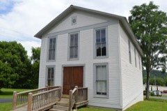 | Marrowbone Historic District | district | 1983 | 83004048 |
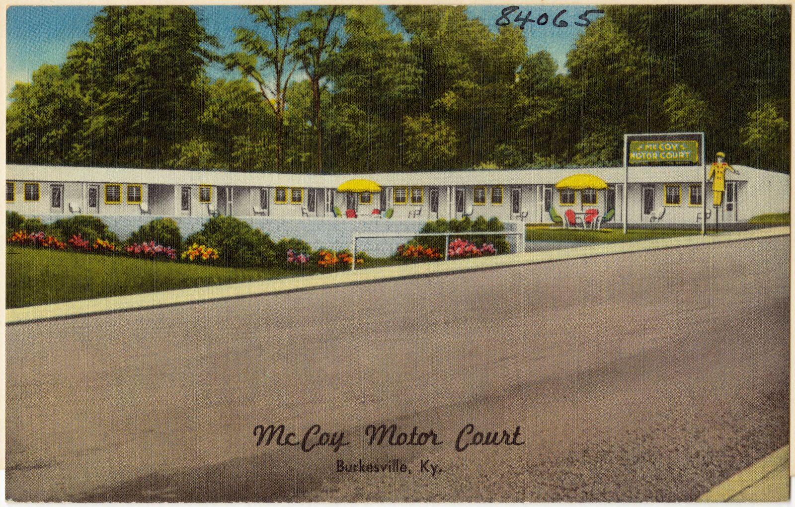
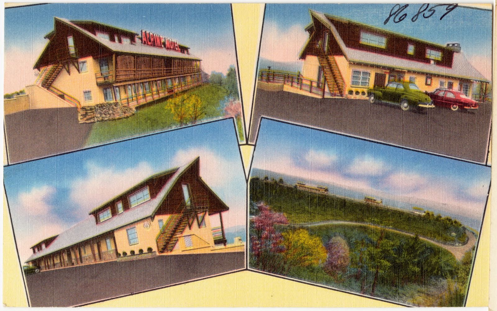
Selected from the Digital Public Library of America's 5 image records catalogued for this county. Every one shown here carries a public-domain status or a licence that permits reuse on a site that carries advertising; non-commercial, share-alike and restricted images are excluded. The selection is spread across the county's towns (at most eight per town), so no single institution's bulk upload crowds out the rest. Each opens the holding library's record, and the complete set at the Digital Public Library of America is one click away.
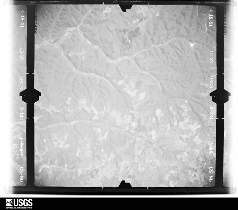
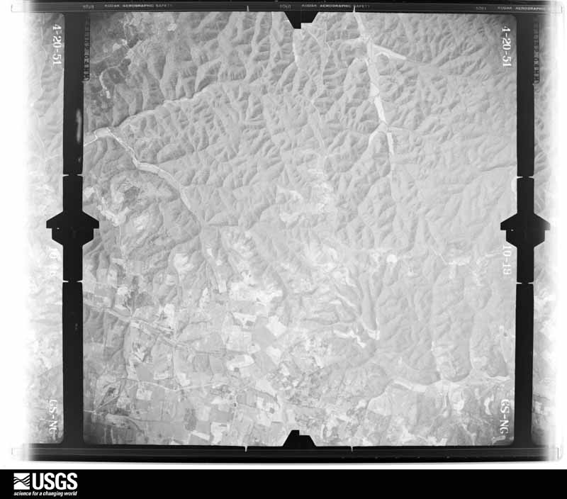
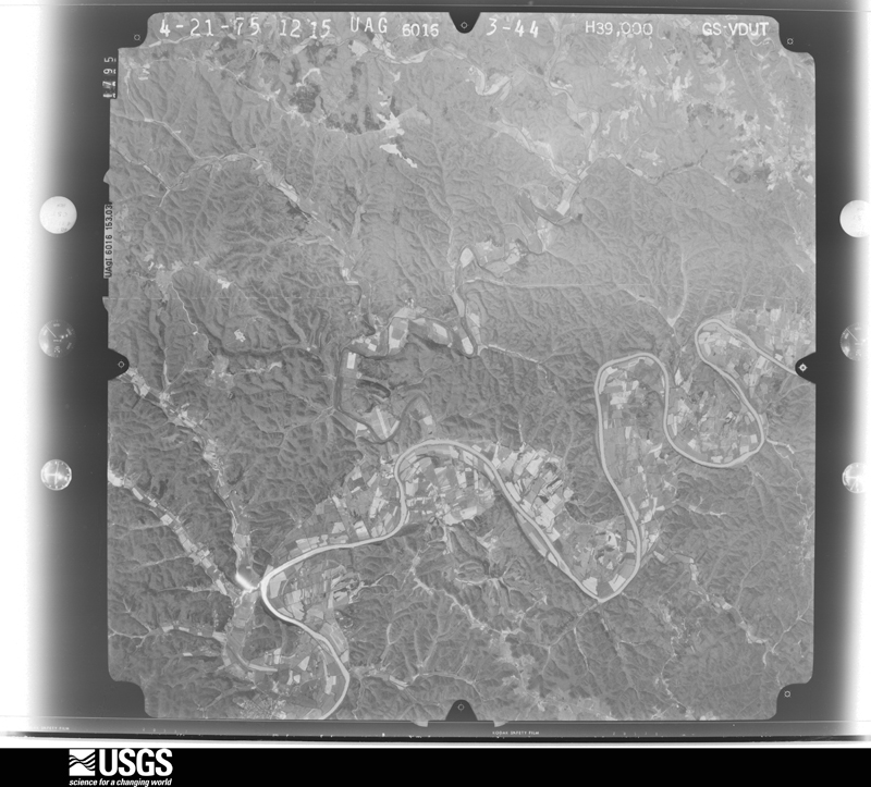
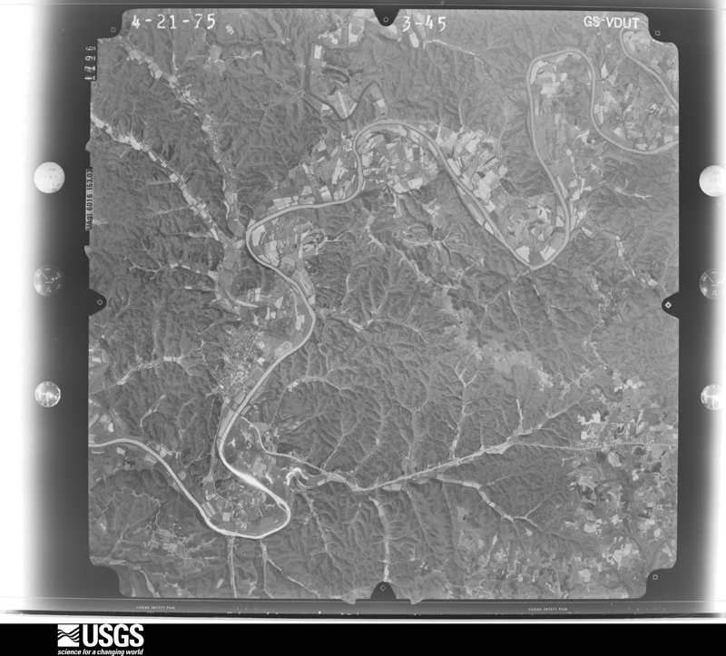
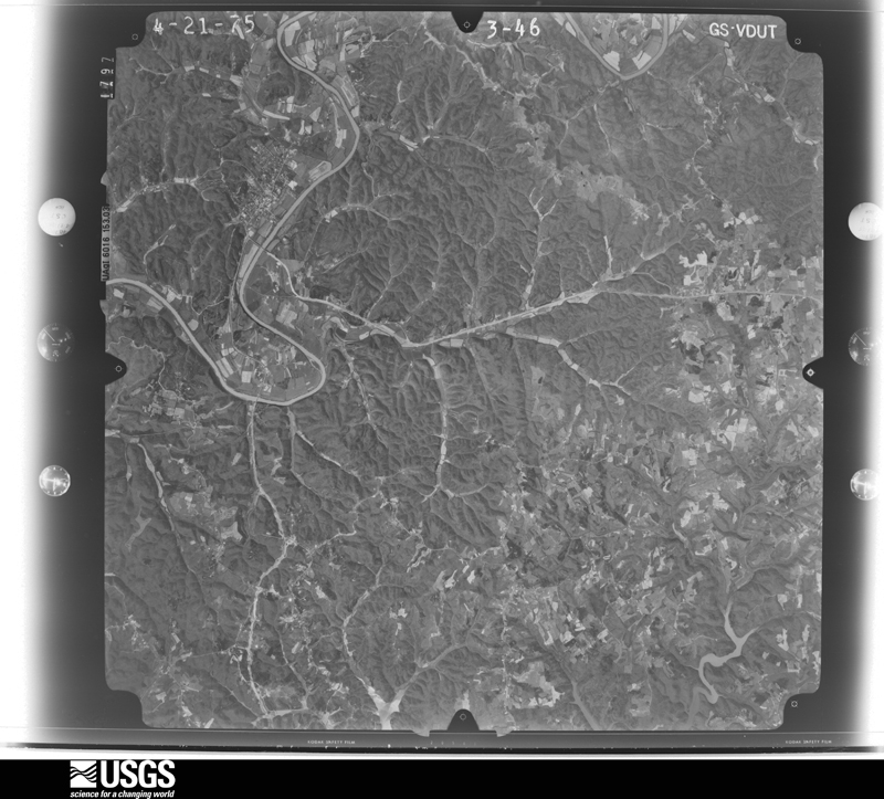
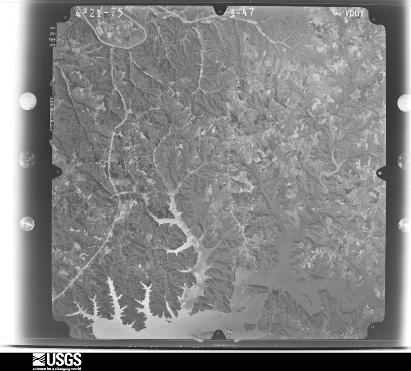
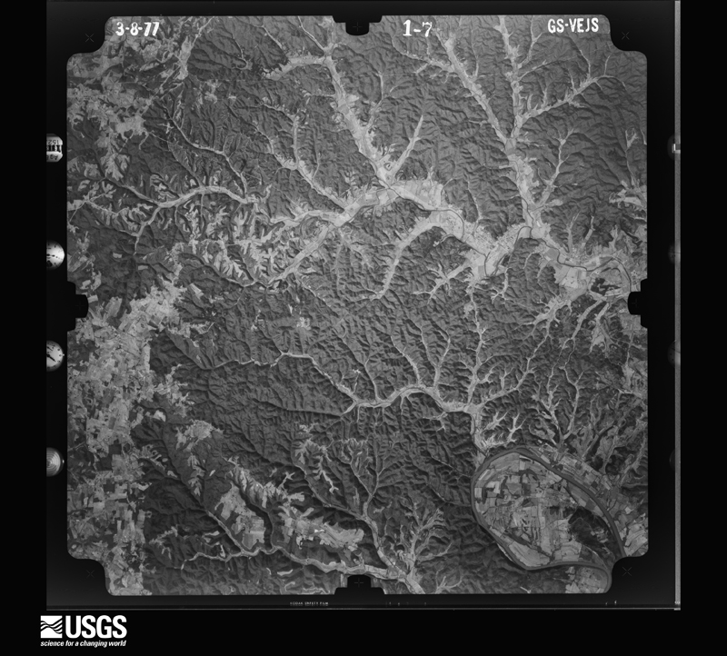
Flown by the U.S. Geological Survey between 1937 and 1989, the Aerial Photo Single Frames collection is the definitive mid-century view of the land: fields, roads and rivers as the camera saw them. The Survey holds 342 frames inside the rectangle that bounds this county; the 17 frames below were taken over the county itself, chosen across the decades of flights (at most four a year from that rectangle), so one flight cannot crowd out the rest. The full set is free to browse and download at EarthExplorer under the dataset Aerial Photo Single Frames.










The thermometers that kept this county's weather, and the gages that measured the flow of its streams, as the federal records hold them. The extremes below are measured values from those records, not estimates.
Who lived here in 1950, one enumeration district at a time, as the Census Bureau described each district. Each row opens its official National Archives result, with Population Schedules and ED Maps available there.
Every wildfire the federal occurrence database records inside this county: 209 of them, burning about 5,511 acres. 2 started naturally and 58 were recorded as arson. Each settlement page carries the fires within five miles of it.
| Reported cause | Fires |
|---|---|
| Arson/incendiarism | 58 |
| Missing data/not specified/undetermined | 57 |
| Debris and open burning | 47 |
| Recreation and ceremony | 19 |
| Smoking | 12 |
| Railroad operations and maintenance | 9 |
| Equipment and vehicle use | 4 |
| Natural | 2 |
| Misuse of fire by a minor | 1 |
The five largest, by the area the report gives. 6 of them were set deliberately.
| Date | Cause | Size | Reported by | Name on the report |
|---|---|---|---|---|
| 6 March 2000 | Arson/incendiarism | 845 acres | Kentucky Division of Forestry | not named |
| 8 November 2001 | Arson/incendiarism | 800 acres | Kentucky Division of Forestry | not named |
| 25 March 2001 | Arson/incendiarism | 282 acres | Kentucky Division of Forestry | not named |
| 3 November 1998 | Arson/incendiarism | 220 acres | Kentucky Division of Forestry | not named |
| 30 March 1998 | Arson/incendiarism | 205 acres | Kentucky Division of Forestry | not named |
| 5 November 2005 | Missing data/not specified/undetermined | 200 acres | Kentucky Division of Forestry | SAWMILL ROAD |
| 8 March 2000 | Arson/incendiarism | 156 acres | Kentucky Division of Forestry | not named |
| 11 November 2012 | Debris and open burning | 125 acres | Kentucky Division of Forestry | SDA |
Every settlement page carries the fires within five miles of it - see the settlement index below.
The NOAA Storm Events Database holds 148 reports for this county, causing no deaths, 35 injuries and about $1,056,000 in recorded property damage. Each settlement page carries the reports that name it.
| Kind of event | Reports |
|---|---|
| Thunderstorm Wind | 85 |
| Hail | 25 |
| Flash Flood | 19 |
| Tornado | 12 |
| Heavy Rain | 4 |
| Flood | 2 |
| Lightning | 1 |
The most serious of them, by death, then injury, then recorded damage. The accounts are quoted exactly as the forecast office filed them.
| When | Event | Place named | Harm | What the report says |
|---|---|---|---|---|
| April 1974 | Tornado (F4) | not stated | 33 hurt, $25,000 | no account filed |
| April 1986 | Tornado (F3) | not stated | 2 hurt, $250,000 | no account filed |
| July 2004 | Thunderstorm Wind | Countywide | $150,000 | Roofs were blown off buildings in the city of Burkesville. Trees were downed countywide. |
| November 2000 | Tornado (F1) | Burkesville | $150,000 | Roofs were ripped from several homes and storage buildings. Several barns were demolished. Part of a roof was ripped off an elementary school. |
| May 2010 | Flash Flood | Burkesville | $100,000 | Numerous roads across the county were closed due to flash flooding. A total of five to eight inches of rain fell across Cumberland county from May 1-2. |
| July 2015 | Thunderstorm Wind | Burkesville | $75,000 | The Cumberland County emergency manager reported numerous trees and power lines were down across the county. A NWS survey team the following day estimated that the number of trees down across the county from several hundred to well over one thousand, and caused more damage than a brief tornado that occurred in the southwest corner of the county near the Tennessee state line. |
| July 2015 | Tornado (EF0) | Ashlock | $50,000 | This small tornado destoryed one outbuilding and tore roof panels off another before crossing the state line into the Pearidge area of Tennessee just west of Dale Hollow Lake. |
| May 2017 | Hail | Mud Camp | $50,000 | no account filed |
| February 2004 | Flash Flood | Countywide | $40,000 | no account filed |
| June 2019 | Thunderstorm Wind | Burkesville | $30,000 | Multiple trees and power lines were reported down through out the county, but most were in Burkesville. |
| April 1986 | Tornado (F1) | not stated | $25,000 | no account filed |
| June 2014 | Thunderstorm Wind | Burkesville | $20,000 | The Burkesville police reported several trees down across roadways. A couple of limbs fell on vehicles and some power lines were downed. |
| April 2017 | Thunderstorm Wind | Marrowbone | $15,000 | The Cumberland County emergency manager reported a building wall collapsed due to severe thunderstorm winds. |
| May 2011 | Lightning | Frogue | $15,000 | A lightning strike caused a barn to catch fire and burn down. |
| April 2000 | Thunderstorm Wind | Kettle | $15,000 | A tree was blown on to a mobile home. |
| May 2018 | Thunderstorm Wind | Waterview | $10,000 | Dispatch reported downed trees and power lines on Glasgow Road. |
| October 2001 | Thunderstorm Wind | Burkesville | $10,000 | no account filed |
| May 1996 | Thunderstorm Wind | Burkesville | $10,000 | no account filed |
| April 2013 | Thunderstorm Wind | Burkesville | $5,000 | The Cumberland County Emergency Manager reported some shingles were blown off several houses near the intersection of Free Ferry and Smith Grove Roads. Some ceder trees were downed and some tin was removed from a barn near the same location. |
| July 2005 | Thunderstorm Wind | Peytonsburg | $5,000 | no account filed |
| July 2009 | Thunderstorm Wind | Burkesville | $2,000 | Trees were downed in Burkesville. |
| June 2009 | Thunderstorm Wind | Peytonsburg | $1,000 | Trees were downed at Dale Hallow State Park, including one which fell on a tent. |
| February 2008 | Tornado (EF3) | Mud Camp | $1,000 | This was the end point of a tornado that crossed into Monroe County, Kentucky from Sumner County, Tennessee. The tornado moved through a rural area of Cumberland County and lifted about three miles southwest of Marrowbone. |
| July 2004 | Thunderstorm Wind | Marrowbone | $1,000 | A large tree limb was blown on to a car. |
| July 2003 | Thunderstorm Wind | Marrowbone | $1,000 | A swing set was blown over and tree branches were downed. |
| March 2026 | Thunderstorm Wind | Littrell | - | An old building was destroyed by strong winds along Cherry Tree Road, with no other damage reported in the vicinity. Trees were also blown down on Sulphur Creek Road near Mikes Landing. |
| March 2026 | Thunderstorm Wind | Marrowbone | - | A tree was blown down over part of Mud Camp Road. |
| February 2025 | Thunderstorm Wind | Burkesville | - | Three power poles were blown down by strong winds along Kentucky Route 90 east of Burkesville. |
| May 2025 | Thunderstorm Wind | Grider | - | A 59 mph wind gust was measured at the Cumberland County Kentucky mesonet station. |
| February 2025 | Flash Flood | Dougan Town | - | Multiple roads in Cumberland County were closed as a result of flash flooding. |
| April 2025 | Thunderstorm Wind | Cloyds Lndg | - | There were multiple trees uprooted and a collapsed barn on Kim McCoy Road. |
| April 2025 | Thunderstorm Wind | Modoc | - | There were multiple trees down on State Road 449. |
| July 2024 | Hail | Dubre | - | Quarter sized hail was observed. |
| July 2024 | Tornado (EF0) | Dubre | - | A National Weather Service storm survey team determined that a brief EF0 tornado|touched down on the afternoon of July 9. The tornado touched down|about a half mile north-northwest of the Highway 90 and Ferris Fork Road|intersection where two large trees were downed, facing back|to the southeast. Just downstream of that, a residence was hit and this|is where the tornado quickly reached its widest point and|strongest winds. Here, several hardwood and softwood trees had|large limbs broken or were uprooted. Ground and aerial survey|with a drone both confirmed that trees were laying in multiple|directions, including in opposite directions of storm motion.|There was very little structural damage, an indication that the|tornado was struggling to keep in contact with the ground, and|likely a contributing factor to the relative weakness of the|tornado. Peak winds here were 80 to 85 MPH. ||The tornadic circulation continued in a generally northerly direction for |the next three quarters of a mile, hugging the west side of Cedar |Ridge, and just to the east of Ferris Fork Road. At this point, the tornado crossed into extreme southeastern Metcalfe County, where it remained on the ground for about one-half mile before lifting. |
| May 2024 | Flash Flood | Modoc | - | Kentucky Route 90 was briefly closed due to flooding. |
| May 2024 | Tornado (EF0) | Dougan Town | - | The National Weather Service conducted a storm survey and found a|tornado occurred on Sunday, May 26th, 2024 about 3 miles north of|Burkesville. The tornado started just to the east of Old Columbia|Road along Little Renox Creek in fields behind a residence. A few|trees were uprooted consistent with EF0 85 mph strength. The|tornado then continued across Columbia Road and|did extensive tree damage along a hillside to the east of the|highway. Tree damage consistent with EF1 90 mph strength was|observed on the hillside just to the east of the highway. The|tornado then lifted with no observed damage via drone footage to|the east of the hill. |
| May 2024 | Tornado (EF1) | Littrell | - | The National Weather Service conducted a storm survey and found a|tornado occurred on Sunday, May 26th, 2024. This tornado reached a peak intensity of EF1 with 95 mph estimated peak winds, crossing through portions of southern Cumberland and Clinton County.||The tornado started at Sulphur Creek in southern Cumberland County just to the west|of Celina Road, or Kentucky Route 61. Tree uproot damage was consistent|with EF1 95 mph winds. The tornado then tracked across Celina|Road along Sulphur Creek, and did more extensive tree damage in|the hills west of Peytonsburg Sulphur Road, consistent with 90 to|95 mph wind speeds. The tornado then went across a campground|along Sulphur Creek Road near Mike's Restaurant, and left tree|damage in the campground along with shingle damage to some|cabins. Tree damage continued to the east and hit an RV storage|garage with significant roof loss thrown in different directions|just north of Dale Hollow Lake Golf Course. The tornado crossed another finger of Dale Hollow Lake as it crossed into western Clinton County. |
| May 2024 | Tornado (EF1) | Dubre | - | The National Weather Service conducted a storm survey and found a tornado occurred on Sunday, May 26th, 2024. Despite the fact that the tornado was only on the ground for a little over one mile and one minute, it tracked very briefly through Monroe, Metcalfe, and Cumberland County.||After passing along the Metcalfe and Cumberland County line for several yards, the tornado moved into Cumberland County completely as it traveled down the Leatherwood Creek valley along Fowler Brown Road. Widespread|damage at 100 yards wide with many uprooted trees and some|snapped trees were in this area consistent with 110 mph wind|speeds. The tornado continued along Fowler Brown Road for another two thirds of a mile and|dissipated at a farm just southwest of Wilson Road where drone|footage showed the width narrowed considerably to 10 yards or|less with a few uprooted trees. |
| May 2024 | Thunderstorm Wind | Burkesville | - | Several trees were blown down by strong winds in downtown Burkesville. |
| July 2024 | Thunderstorm Wind | Kettle | - | Trees were blown down onto the road at Sulphur Creek Resort. |
| June 2023 | Thunderstorm Wind | Burkesville | - | Trees blew down across Cumberland County, resulting in several road closures. |
| July 2023 | Hail | Burkesville | - | Hail ranging from quarter to half dollar size was reported near Burkesville. |
| December 2023 | Thunderstorm Wind | Judio | - | An equipment shed flipped over from thunderstorm winds. |
| July 2022 | Flash Flood | Bakerton | - | Portions of Lawson Bottom Road were washed out from flash flooding. |
| July 2022 | Flash Flood | Burkesville | - | Flood waters have entered businesses in Burkesville. |
| July 2022 | Thunderstorm Wind | Burkesville | - | Trees were down within the city limits of Burkesville. |
| February 2021 | Flash Flood | Marrowbone | - | There was flooding on Gray Gap Road at Turner Branch Road. |
| January 2021 | Thunderstorm Wind | Cloyds Lndg | - | A tree blew down near Leslie Road. |
| May 2021 | Thunderstorm Wind | Burkesville | - | Dispatch reported trees down in the Burkesville city limits. |
| May 2021 | Flash Flood | Burkesville | - | There were reports of water over roadways. |
| May 2021 | Flash Flood | Marrowbone | - | Kentucky 90 was closed due to flooding around Marrowbone. |
| February 2021 | Thunderstorm Wind | Waterview | - | Highway 90 West was closed due to a downed utility pole. |
| March 2020 | Thunderstorm Wind | Modoc | - | There was a tree down on Sexton Fork Road near Highway 449. |
| March 2020 | Thunderstorm Wind | Claywell | - | A tree blew down on Highway 1880, Smith Grove Road. |
| February 2019 | Flash Flood | Amandaville | - | It was reported that 12 roads had to be closed throughout the county from a combination of flash flooding, areal flooding, and river flooding. |
| June 2019 | Flood | Amandaville | - | Water was flowing over Highway 704 at typical flood prone locations. |
| June 2019 | Flash Flood | Amandaville | - | Highway 704 is closed due to water running over the roadway between mile markers 7 and 9. |
| June 2018 | Thunderstorm Wind | Burkesville | - | There were trees reported down in the area. |
| November 2018 | Flash Flood | Dubre | - | A bridge was flooded in Dubre in Cumberland County, Kentucky. |
| May 2017 | Flash Flood | Dougan Town | - | State officials received many reports of high water over many roadways across the county. |
The Survey's mineral resources record lists 4 workings inside this county. 1 still produces and 3 are closed or unrecorded. Each settlement page carries the workings within five miles of it.
| Commodity | Workings |
|---|---|
| Uranium, Oil Shale | 2 |
| Stone, Crushed/Broken | 1 |
| Zinc | 1 |
| Cadmium, Germanium | 1 |
The least common of them first, because a county's hundredth gravel pit says nothing its first ten did not.
| Where | Site | Commodity | Status | Recorded |
|---|---|---|---|---|
| Burkesville | Zinc, Cadmium, Germanium | Past Producer | Sphalerite | |
| Grider Mine | Stone, Crushed/Broken | Producer | ||
| Outcrop Sample For Uranium | Uranium, Oil Shale | Occurrence | ||
| Outcrop Sample For Uranium | Uranium, Oil Shale | Occurrence |
Named settlements recorded in the Geographic Names Information System, each with the topographic sheets covering it. Villages, hamlets and abandoned places alike. Each is shown with the nearest named watercourse or landform and the survey quadrangle it falls on.
Burkesville census division · 42717 · On Puncheon Camp Creek · Amandaville quadrangle
10 sheets, 1953 to 1985
Burkesville census division · 42717 · On Lions Branch · Waterview quadrangle
8 sheets, 1953 to 1985
Kettle-Peytonsburg census division · 42717 · On Ashlock Ridge · Dale Hollow Dam quadrangle
14 sheets, 1924 to 1985
Burkesville census division · 42717 · On Brush Creek · Burkesville quadrangle
10 sheets, 1953 to 1985
Kettle-Peytonsburg census division · 42717 · Blacks Ferry quadrangle
14 sheets, 1924 to 1985
No longer a settlement
Burkesville census division · 42717 · On Strange Branch · Waterview quadrangle
8 sheets, 1953 to 1985
Kettle-Peytonsburg census division · 42717 · On Dry Fork · Burkesville quadrangle
10 sheets, 1953 to 1985
Burkesville census division · 42717 · On Rocky Branch · Burkesville quadrangle
10 sheets, 1953 to 1985
Burkesville census division · 42717 · On Bombshell Creek · Waterview quadrangle
8 sheets, 1953 to 1985
Kettle-Peytonsburg census division · 42717 · Near Spearman Island · Burkesville quadrangle
10 sheets, 1953 to 1985
Kettle-Peytonsburg census division · 42717 · On Carter Branch · Waterview quadrangle
8 sheets, 1953 to 1985
Burkesville census division · 42717 · On Rocky Branch · Burkesville quadrangle
10 sheets, 1953 to 1985
Burkesville census division · 42717 · On Pitman Creek · Dubre quadrangle
8 sheets, 1953 to 1985
Kettle-Peytonsburg census division · 42717 · On Yellow Branch · Waterview quadrangle
8 sheets, 1953 to 1985
Kettle-Peytonsburg census division · 42717 · On Mill Creek · Frogue quadrangle
15 sheets, 1924 to 1985
Kettle-Peytonsburg census division · 42717 · On Green Grove Ridge · Frogue quadrangle
15 sheets, 1924 to 1985
Burkesville census division · 42717 · On Allen Creek · Waterview quadrangle
8 sheets, 1953 to 1985
Kettle-Peytonsburg census division · 42717 · Near Spurlins Hollow · Frogue quadrangle
15 sheets, 1924 to 1985
Kettle-Peytonsburg census division · 42717 · Near Guffey Hollow · Blacks Ferry quadrangle
14 sheets, 1924 to 1985
Kettle-Peytonsburg census division · 42717 · On Spring Branch · Frogue quadrangle
15 sheets, 1924 to 1985
Burkesville census division · 42717 · On Marrowbone Creek · Waterview quadrangle
8 sheets, 1953 to 1985
Burkesville census division · 42717 · On Rocky Branch · Burkesville quadrangle
10 sheets, 1953 to 1985
No longer a settlement
Burkesville census division · 42717 · On Carter Branch · Waterview quadrangle
8 sheets, 1953 to 1985
No longer a settlement
Kettle-Peytonsburg census division · 42717 · Blacks Ferry quadrangle
14 sheets, 1924 to 1985
Kettle-Peytonsburg census division · 42717 · Near Julia Bow Hollow · Frogue quadrangle
15 sheets, 1924 to 1985
Burkesville census division · 42717 · Near White Hollow · Dubre quadrangle
8 sheets, 1953 to 1985
Kettle-Peytonsburg census division · 42717 · Near Storehouse Hollow · Frogue quadrangle
15 sheets, 1924 to 1985
Kettle-Peytonsburg census division · 42717 · On Mitchell Branch · Blacks Ferry quadrangle
14 sheets, 1924 to 1985
Kettle-Peytonsburg census division · 42717 · On Logan Branch · Blacks Ferry quadrangle
14 sheets, 1924 to 1985
No longer a settlement
Kettle-Peytonsburg census division · 42717 · On Galloway Creek · Blacks Ferry quadrangle
14 sheets, 1924 to 1985
Burkesville census division · 42717 · On Shaddoan Branch · Waterview quadrangle
8 sheets, 1953 to 1985
No longer a settlement
Kettle-Peytonsburg census division · 42717 · Near Guthrie Ridge · Blacks Ferry quadrangle
14 sheets, 1924 to 1985
Burkesville census division · 42717 · On German Branch · Waterview quadrangle
8 sheets, 1953 to 1985
The vanished settlements of Cumberland County: the places named above that are no longer on the map.