 Block
Elliott County, Kentucky
41 topographic sheets cover 41 settlements here.
Research this county
What the record shows
- 420 topographic sheet readings cover the county's settlements.
- The Geographic Names Information System records 41 populated places in this county; 41 are covered by at least one topographic sheet.
The county from the air
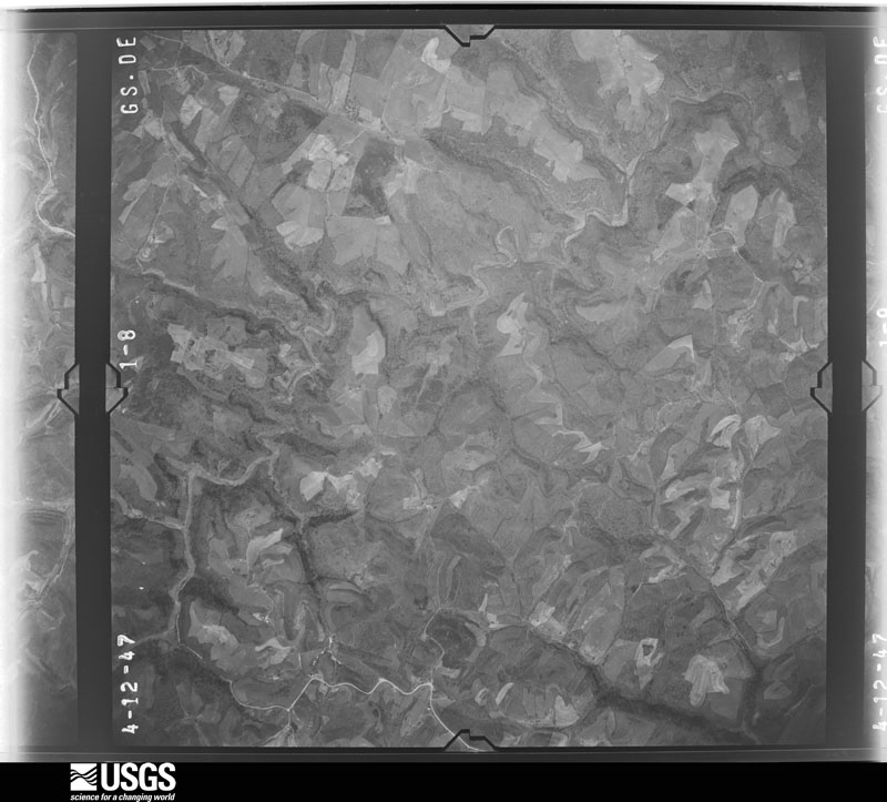
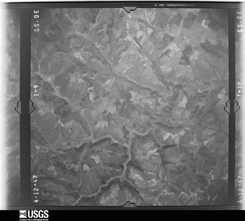
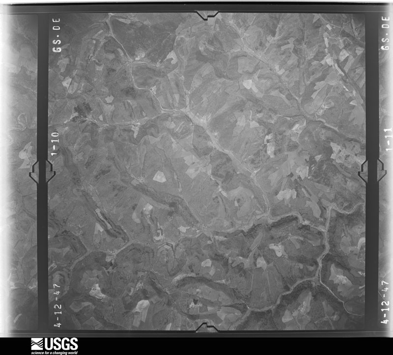
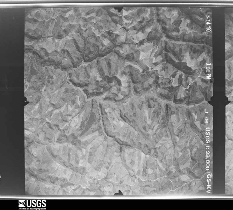
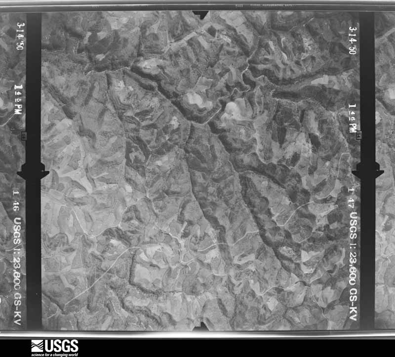
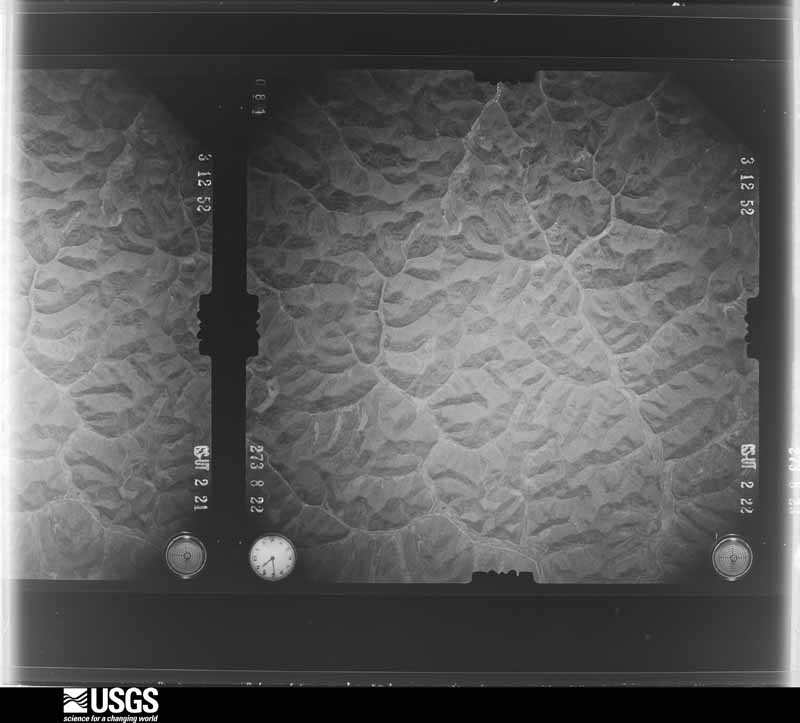
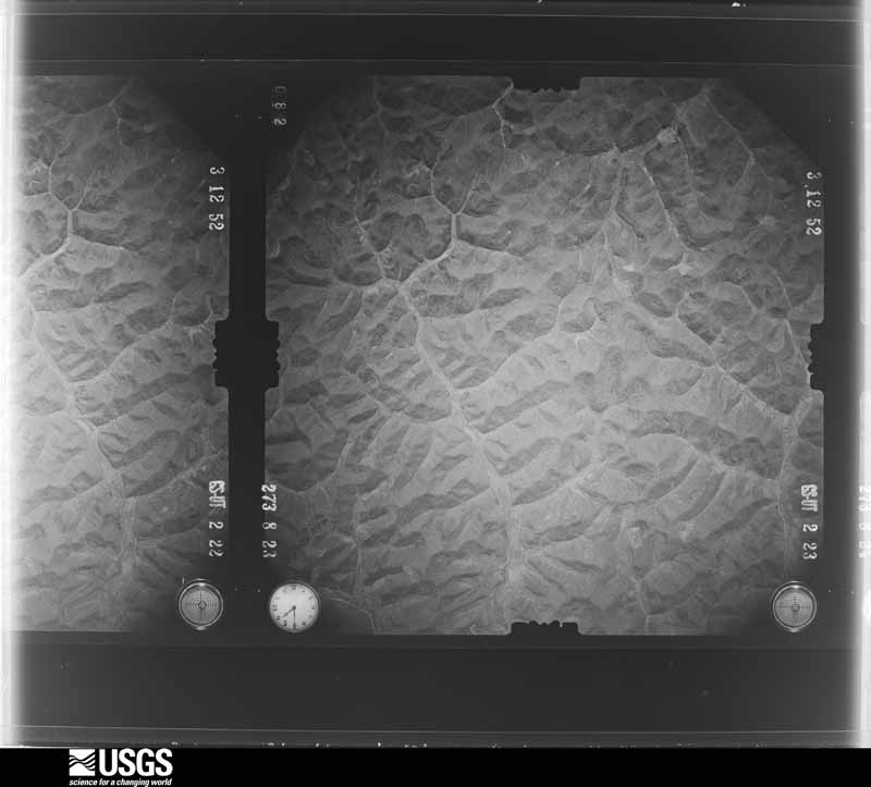
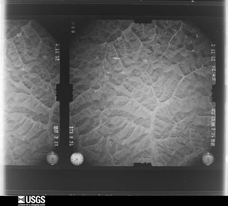
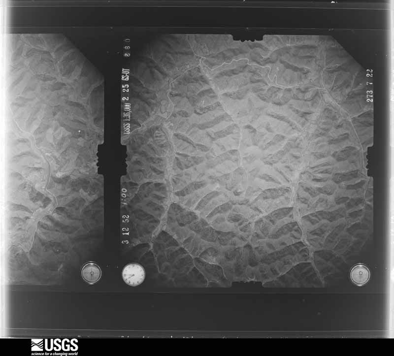
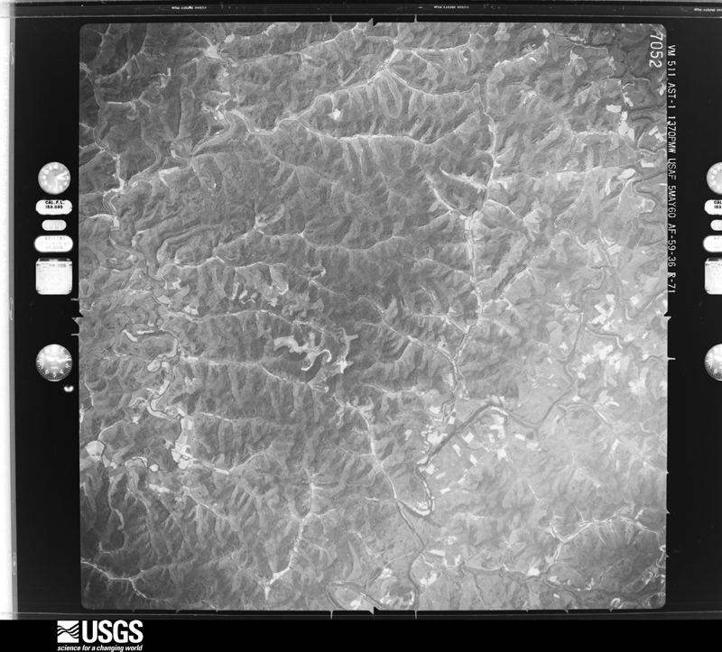
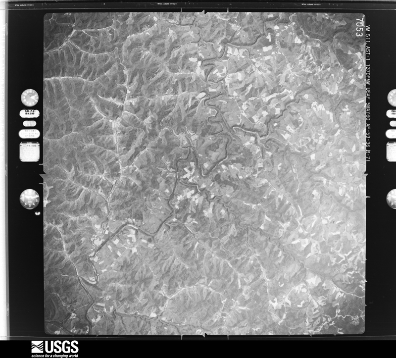
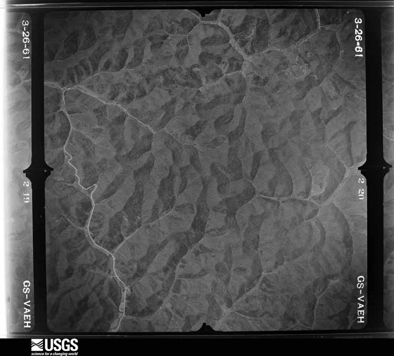
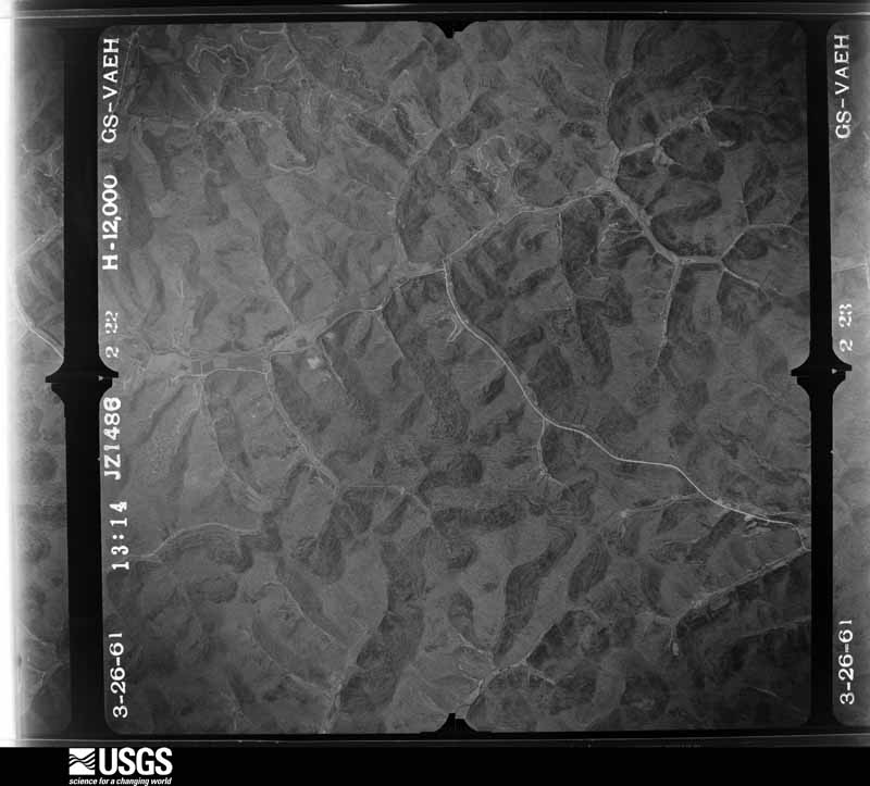
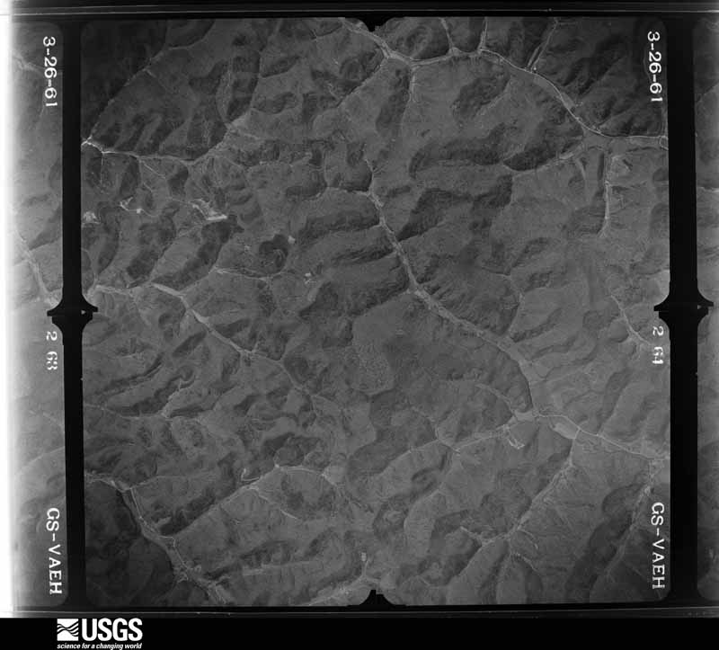
29 shownFlown by the U.S. Geological Survey between 1937 and 1989, the Aerial Photo Single Frames collection is the definitive mid-century view of the land: fields, roads and rivers as the camera saw them. The Survey holds 607 frames inside the rectangle that bounds this county; the 29 frames below were taken over the county itself, chosen across the decades of flights (at most four a year from that rectangle), so one flight cannot crowd out the rest. The full set is free to browse and download at EarthExplorer under the dataset Aerial Photo Single Frames.















Weather records
8 stationsThe thermometers that kept this county's weather, as the federal records hold them. The extremes below are measured values from those records, not estimates.
- SANDY HOOK 1NE 1893 to 2017, hottest 42.2 C, coldest -31.1 C
- SANDY HOOK 4 SW 1978 to 1990
- GIMLET 9N 2006 to 2019, hottest 40.6 C, coldest -22.8 C
- OLIVE HILL 9.0 SSE 2011 to 2026
- SANDY HOOK 0.5 SSW 2012 to 2016
- ISONVILLE 0.4 ESE 2012 to 2018
- SANDY HOOK 3.2 NNE 2012 to 2020
- OLIVE HILL 7.0 S 2013 to 2015
The 1950 census, district by district
13 districtsWho lived here in 1950, one enumeration district at a time, as the Census Bureau described each district. Each row opens its official National Archives result, with Population Schedules and ED Maps available there.
- 32-1Magisterial District 1: Martinsburg town
- 32-2Magisterial District 1 - That part north of State Hwy. 32, northwest of Fannin - Elkfork Rd. and southeast of Little Sandy River, outside Martinsburg town
- 32-3Magisterial District 1 - That part northwest of Little Sandy River, east of State Hwy. 173, outside Martinsburg town
- 32-4Magisterial District 1 - That part west of State Hwy. 173 and north of Little Sandy River
- 32-5Magisterial District 1 - That part south of State Hwy. 32 and southeast of Fannin - Elkfork Rd. via Lucile
- 32-6Magisterial District 2: Magisterial District 2 - That part northeast of Fielden - Blevens Rd., northwest of Isonville - Fielden Rd. and northeast of Burke - Sarah Rd.
- 32-7Magisterial District 2 - That part southwest of Burke - Sarah Rd. northwest of Isonville - Fielden Rd. via Isonville, and north of State Hwy. 32
- 32-8Magisterial District 2 - That part south of Fielden - Blevens Rd., southeast of Isonville - Fielden Rd. via Culver and Isonville and south of State Hwy. 32
- 32-9Magisterial District 3: Magisterial District 3 - That part southeast of State Hwy. 7 and east of Little Sandy River and Newcombe Creek
- 32-10Magisterial District 3 - That part northwest of State Hwy. 7 and north of State Hwy. 32
- 32-11Magisterial District 3 - That part south of State Hwys. 32 and 7 and west of Little Sandy River and Newcombe Creek
- 32-12Magisterial District 4: Magisterial District 4 - That part north of State Hwy. 32
- 32-13Magisterial District 4 - That part south of State Hwy. 32
Wildfire, 1997 to 2020
196 firesEvery wildfire the federal occurrence database records inside this county: 196 of them, burning about 4,475 acres. None started naturally and 46 were recorded as arson. Each settlement page carries the fires within five miles of it.
| Reported cause | Fires |
|---|---|
| Debris and open burning | 85 |
| Arson/incendiarism | 46 |
| Missing data/not specified/undetermined | 45 |
| Recreation and ceremony | 14 |
| Equipment and vehicle use | 3 |
| Railroad operations and maintenance | 2 |
| Smoking | 1 |
The five largest, by the area the report gives. Three of them were set deliberately.
| Date | Cause | Size | Reported by | Name on the report |
|---|---|---|---|---|
| 29 April 2000 | Arson/incendiarism | 870 acres | Kentucky Division of Forestry | not named |
| 7 January 2012 | Debris and open burning | 218 acres | Kentucky Division of Forestry | WALTER BAR |
| 2 March 2006 | Missing data/not specified/undetermined | 200 acres | Kentucky Division of Forestry | MIDDLE FORK |
| 22 November 2012 | Debris and open burning | 197 acres | Kentucky Division of Forestry | ANDERSON B |
| 6 April 2013 | Recreation and ceremony | 187 acres | Kentucky Division of Forestry | ELDRIDGE ROAD |
| 9 February 2001 | Arson/incendiarism | 142 acres | Kentucky Division of Forestry | not named |
| 3 April 2010 | Debris and open burning | 130 acres | Kentucky Division of Forestry | B.L. LEWIS |
| 29 March 2001 | Arson/incendiarism | 100 acres | Kentucky Division of Forestry | not named |
Every settlement page carries the fires within five miles of it - see the settlement index below.
Storms, 1973 to 2025
60 of 148 shownThe NOAA Storm Events Database holds 148 reports for this county, causing no deaths, 8 injuries and about $3,068,200 in recorded property damage. Each settlement page carries the reports that name it.
| Kind of event | Reports |
|---|---|
| Thunderstorm Wind | 84 |
| Hail | 33 |
| Flash Flood | 18 |
| Flood | 12 |
| Tornado | 1 |
The most serious of them, by death, then injury, then recorded damage. The accounts are quoted exactly as the forecast office filed them.
| When | Event | Place named | Harm | What the report says |
|---|---|---|---|---|
| April 1974 | Tornado (F1) | not stated | 3 hurt, $250,000 | no account filed |
| July 1987 | Thunderstorm Wind | not stated | 3 hurt | no account filed |
| May 1995 | Thunderstorm Wind | Countywide | 2 hurt, $1,000,000 | no account filed |
| March 1997 | Flash Flood | Sandy Hook | $1,100,000 | no account filed |
| June 2003 | Flash Flood | Countywide | $220,000 | Flood waters damaged several roads and bridges. Fast flowing water closed Kentucky Highway 7. |
| June 2012 | Thunderstorm Wind | Sandy Hook | $50,000 | There were trees down and power outages countywide. |
| May 2011 | Flash Flood | Fannin | $50,000 | Numerous locations along Hwy 706 were under water with foot bridges washed out and other extensive damage 3 miles east of Sandy Hook. |
| June 1998 | Flash Flood | Sandy Hook | $50,000 | The nursing home had to be evacuated. Water came within 2 to 3 feet of the building. Two houses were also affected by flood waters. |
| February 1993 | Hail | not stated | $50,000 | Trees and power lines were blown down. |
| February 1993 | Thunderstorm Wind | not stated | $50,000 | Trees and power lines were blown down. |
| March 1997 | Flash Flood | Sandy Hook | $50,000 | no account filed |
| June 2010 | Thunderstorm Wind | Sandy Hook | $25,000 | The Elliott county EM reported that 1.65 inches of rain had fallen and that several trees had been blown down along Hwy 504. There were also numerous power outages in Sandy Hook. |
| July 2012 | Thunderstorm Wind | Bascom | $20,000 | Trees and a barn were blown down along Wells Creek. |
| June 2017 | Flash Flood | Gimlet | $10,000 | Emergency management reported flood waters covering the road at the intersection of Kentucky Highways 1620 and 504 west of Gimlet. A couple of homes were surrounded by flood waters, prompting the rescue of citizens in two residences as 2 to 3 inches of rain fell. |
| June 2007 | Thunderstorm Wind | Culver | $10,000 | Several trees down. |
| April 2007 | Thunderstorm Wind | Lytten | $10,000 | Trees down in Community of Ruin. |
| May 2005 | Thunderstorm Wind | Isonville | $10,000 | Four or five trees blown down with widespread power outages. |
| February 2000 | Flash Flood | Countywide | $10,000 | After several hours of heavy rains flash flooding occurred across the county. A pond dam broke flooding a local road. Water went over the bridge at Salyers Branch and Whites Creek. Several roads were also washed out around the county. |
| May 1996 | Flash Flood | Countywide | $10,000 | no account filed |
| April 2009 | Thunderstorm Wind | Sandy Hook | $7,000 | Several pine trees were blown donw on Hwy 719. |
| May 2010 | Flash Flood | Stark | $6,000 | Heavy rain washed out a culvert on Route 1620 north of Stark. |
| January 2008 | Thunderstorm Wind | Sandy Hook | $6,000 | Trees were blown down onto Highway 7, Route 32, Route 755, and Highways 1620, 885 and 173 by wind gusts estimated at 62 mph. |
| June 2009 | Thunderstorm Wind | Isonville | $5,000 | Tree tops were broken off by thunderstorm wind gusts. |
| June 2007 | Thunderstorm Wind | Bruin | $5,000 | Trees down at Route 7 and 409 near Round Ridge and Johnson Creek. |
| July 2006 | Thunderstorm Wind | Sandy Hook | $5,000 | Structual damage including roofs blown off of houses and trailers, along with numerous trees down. |
| May 1998 | Flash Flood | Countywide | $5,000 | In Sandy Hook, several inches of water flowed into a grocery store and a fast food court. |
| March 1997 | Thunderstorm Wind | Sandy Hook | $5,000 | no account filed |
| June 2011 | Thunderstorm Wind | Green | $4,000 | Trees were blown down on Hwy 7 and Route 504 near Green. |
| June 2011 | Thunderstorm Wind | Bruin | $4,000 | Trees were blown down on Hwy 7 and Horton Flat Road. |
| February 2009 | Thunderstorm Wind | Sandy Hook | $4,000 | Trees were blown down near Gimlet and an outbuilding roof was blown off. |
| June 2011 | Thunderstorm Wind | Isonville | $3,000 | Trees were blown down on Hwy 706 in Isonville. |
| June 2011 | Thunderstorm Wind | Stark | $3,000 | Trees were blown down on Hwy 649 north of Newfoundland. |
| August 2010 | Thunderstorm Wind | Sandy Hook | $3,000 | County dispatch reports that trees were blown down near Sandy Hook. |
| September 1998 | Thunderstorm Wind | Bruin | $3,000 | Trees and power lines downed at the intersection of Route 7 and HWY 504. |
| March 1997 | Thunderstorm Wind | Sandy Hook | $3,000 | no account filed |
| May 1996 | Thunderstorm Wind | Green | $3,000 | no account filed |
| August 2024 | Thunderstorm Wind | Sandy Hook | $2,000 | Elliott County Dispatch received 21 reports of trees down from around the county, and two reports of downed power lines. Most of the trees were blown down along Brown Ridge Road, north of Sandy Hook, as well as KY-32, south of Sandy Hook. |
| June 2022 | Thunderstorm Wind | Spanglin | $2,000 | Trees were blown down and onto power lines along KY-173, leading to a temporary road closure. |
| July 2007 | Thunderstorm Wind | Sandy Hook | $2,000 | Two trees blown down. |
| May 1996 | Thunderstorm Wind | Bascom | $2,000 | no account filed |
| April 2015 | Flash Flood | Bruin | $1,000 | Highway 7 was impassable due to flash flooding. |
| July 2015 | Flash Flood | Edsel | $1,000 | Blaines trace road was washed out due to flash flooding. A fence was also torn down by the flood. |
| April 2015 | Flood | Isonville | $1,000 | Highway 486 near Isonville had 8 to 10 inches of water covering it. |
| April 2015 | Flood | Culver | $1,000 | Green Briar Rd was flooded. |
| April 2015 | Flood | Charity | $1,000 | Hamilton Branch Road was flooded. |
| April 2015 | Flood | Stephens | $1,000 | Salyers Branch Road was flooded. |
| April 2015 | Flood | Fannin | $1,000 | A creek washed out Middle Fork Road. |
| December 2015 | Flood | Little Sandy | $1,000 | Some nuisance flooding was reported mainly in the west end of the county where water was flowing onto roads due to clogged ditches. |
| July 2011 | Thunderstorm Wind | Sandy Hook | $1,000 | A tree was blown down along Rt 32 near Sandy Hook. |
| August 2010 | Thunderstorm Wind | Bruin | $1,000 | A tree was blown down at Hwy 409 in Bruin. |
| June 2007 | Thunderstorm Wind | Sandy Hook | $1,000 | One tree down on Highway 706 off of Highway 7. |
| July 2021 | Thunderstorm Wind | Faye | $100 | A tree was reported down along KY-7, near the intersection with Hwy-650/Doctor's Branch Road. |
| May 2018 | Flash Flood | Faye | $100 | Local Emergency Management reported water flowing over Kentucky Route 7 near Wells Creek Road southwest of Sandy Hook. Crews were called to rescue a dog stuck in high water. |
| June 2025 | Thunderstorm Wind | Dewdrop | - | A 911 call center relayed a report of a tree blocking the road near the intersection of N KY-32 and George Johnson Loop. Multiple limbs were also reported down in this general area. |
| July 2024 | Thunderstorm Wind | Elliottville | - | Elliott County Dispatch reported one tree down on KY-557, right outside the Sandy Hook city limits. |
| August 2024 | Thunderstorm Wind | Newfoundland | - | A tree was blown down on KY-557 near Sandy Hook. The exact location on this road was not given. |
| July 2022 | Thunderstorm Wind | Lytten | - | A tree was reported down on Devils Fork Road in Sandy Hook. |
| June 2022 | Thunderstorm Wind | Stark | - | A social media report showed trees and limbs down on Grover Flannery Road near the community of Stark. |
| June 2022 | Thunderstorm Wind | Spanglin | - | Multiple trees were blown down along Devils Fork Road. |
| June 2022 | Thunderstorm Wind | Dewdrop | - | Elliott County dispatch reported that trees had been blown down along KY-32 N near the community of Stark. |
Mines and quarries
2 recordedThe Survey's mineral resources record lists 2 workings inside this county. None of them still produces: all are closed or unrecorded. Each settlement page carries the workings within five miles of it.
| Commodity | Workings |
|---|---|
| Clay | 2 |
The least common of them first, because a county's hundredth gravel pit says nothing its first ten did not.
| Where | Site | Commodity | Status | Recorded |
|---|---|---|---|---|
| Durham Fork Shale | Clay | Prospect | ||
| Highway 32 Roadcut | Clay | Prospect |
Every populated place in the county
41Named settlements recorded in the Geographic Names Information System, each with the topographic sheets covering it. Villages, hamlets and abandoned places alike. Each is shown with the nearest named watercourse or landform and the survey quadrangle it falls on.
-
Ault
Sandy Hook census division · 41164 · On Licklog Branch · Ault quadrangle
8 sheets, 1950 to 1982
-
Bascom
Sandy Hook census division · 41171 · On Ira Ison Branch · Sandy Hook quadrangle
10 sheets, 1950 to 1982
-
Beartown
Sandy Hook census division · 41164 · On Licklog Branch · Ault quadrangle
8 sheets, 1950 to 1982
-
Bell City
Sandy Hook census division · 41171 · On Howards Creek · Sandy Hook quadrangle
10 sheets, 1950 to 1982
-
Bigstone
Sandy Hook census division · 41171 · Near The Jeff Knob · Sandy Hook quadrangle
10 sheets, 1950 to 1982
-
Blaines Trace
Isonville census division · 41180 · On Mud Lick · Mazie quadrangle
14 sheets, 1903 to 1982
No longer a settlement
-
Bruin
Isonville census division · 41171 · On Birchfield Creek · Bruin quadrangle
9 sheets, 1950 to 1982
-
Burke
Isonville census division · 41171 · On Left Fork Rocky Branch · Isonville quadrangle
9 sheets, 1950 to 1982
-
Clay Fork
Sandy Hook census division · 41164 · On Durham Fork · Ault quadrangle
8 sheets, 1950 to 1982
No longer a settlement
-
Culver
Isonville census division · 41171 · On Meadow Branch · Mazie quadrangle
14 sheets, 1903 to 1982
-
Devil Fork
Sandy Hook census division · 40351 · Near Doctors Knob · Sandy Hook quadrangle
10 sheets, 1950 to 1982
No longer a settlement
-
Dewdrop
Sandy Hook census division · 41171 · On Wimberly Branch · Ault quadrangle
8 sheets, 1950 to 1982
-
Dobbins
Isonville census division · 41180 · On Booth Branch · Willard quadrangle
15 sheets, 1903 to 1982
-
Eldridge
Isonville census division · 41149 · On Oliver Branch · Isonville quadrangle
9 sheets, 1950 to 1982
-
Fannin
Isonville census division · 41149 · On Brier Fork · Isonville quadrangle
9 sheets, 1950 to 1982
-
Fannin Valley
Sandy Hook census division · 40351 · Near Stamper Ridge · Ault quadrangle
8 sheets, 1950 to 1982
No longer a settlement
-
Faye
Sandy Hook census division · 41171 · On Doctors Branch · Sandy Hook quadrangle
10 sheets, 1950 to 1982
-
Fielden
Isonville census division · 41171 · On Gillium Branch · Mazie quadrangle
14 sheets, 1903 to 1982
-
Gomez
Isonville census division · 41180 · On Little Brushy Creek · Willard quadrangle
15 sheets, 1903 to 1982
No longer a settlement
-
Green
Sandy Hook census division · 41171 · On Newcombe Creek · Bruin quadrangle
9 sheets, 1950 to 1982
-
Halcom
Isonville census division · 41171 · On Wallow Hole Creek · Mazie quadrangle
14 sheets, 1903 to 1982
-
Isonville
Isonville census division · 41171 · On Bentley Branch · Isonville quadrangle
9 sheets, 1950 to 1982
-
Little Sandy
Sandy Hook census division · 41171 · On Neal Howard Creek · Sandy Hook quadrangle
10 sheets, 1950 to 1982
-
Lytten
Sandy Hook census division · 41171 · Near Bob Horton Hill · Sandy Hook quadrangle
10 sheets, 1950 to 1982
-
Newcombe
Isonville census division · 41149 · On Boggs Branch · Isonville quadrangle
9 sheets, 1950 to 1982
-
Newfoundland
Sandy Hook census division · 41171 · On Stafford Creek · Bruin quadrangle
9 sheets, 1950 to 1982
-
Ordinary
Sandy Hook census division · 40351 · Near Brown Ridge · Ault quadrangle
8 sheets, 1950 to 1982
-
Roscoe
Isonville census division · 41171 · On Beech Branch · Isonville quadrangle
9 sheets, 1950 to 1982
-
Sandy Hook
Sandy Hook census division · 41171 · On Howards Creek · Sandy Hook quadrangle
10 sheets, 1950 to 1982
-
Shady Grove
Sandy Hook census division · 41164 · On Durham Fork · Ault quadrangle
8 sheets, 1950 to 1982
No longer a settlement
-
Sideway
Sandy Hook census division · 41164 · On Licklog Branch · Ault quadrangle
8 sheets, 1950 to 1982
-
Spanglin
Sandy Hook census division · 41171 · Near Fannin Hill · Sandy Hook quadrangle
10 sheets, 1950 to 1982
-
Stephens
Isonville census division · 41171 · On Ison Creek · Willard quadrangle
15 sheets, 1903 to 1982
-
The Ridge
Sandy Hook census division · 41171 · Near The Jeff Knob · Sandy Hook quadrangle
10 sheets, 1950 to 1982
-
Wells Creek
Sandy Hook census division · 41171 · On Pruetts Fork · Sandy Hook quadrangle
10 sheets, 1950 to 1982
No longer a settlement
-
Wyett
Sandy Hook census division · 40351 · Near Bob Horton Hill · Wrigley quadrangle
11 sheets, 1929 to 1982
The vanished settlements of Elliott County: the places named above that are no longer on the map.
Provenance
- Topographic sheets. USGS Historical Topographic Map Collection, county index, measured from the bulk metadata.
- Fire insurance maps. Library of Congress Sanborn collection, faceted to this county.
- Photographs. Each place queried individually against the Library of Congress Prints and Photographs search.
- Wildfire. Short, Karen C. 2022. Spatial wildfire occurrence data for the United States, 1992-2020 [FPA_FOD_20221014]. 6th Edition. Fort Collins, CO: Forest Service Research Data Archive. https://doi.org/10.2737/RDS-2013-0009.6 Collected with United States Government funding and usable without additional permissions or fees.
- Mines and quarries. USGS Mineral Resources Data System (MRDS) https://mrdata.usgs.gov/mrds/ A work of the United States government, no copyright under 17 U.S.C. 105.
- Storms. NOAA National Centers for Environmental Information, Storm Events Database https://www.ncei.noaa.gov/stormevents/ A work of the United States government, no copyright under 17 U.S.C. 105. Narratives are quoted verbatim from the National Weather Service report and are not edited or summarised.