 Block
From the record
4 National Register listings published here.
Sources: the National Register database, National Park Service
28 topographic sheets and 1 fire insurance atlases across 1 place.
4 National Register listings published here.
Sources: the National Register database, National Park Service
Every property in this county listed on the National Register of Historic Places, with the year it was listed and the federal nomination document.
| Photograph | Property | Type | Listed | Reference |
|---|---|---|---|---|
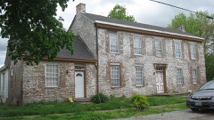 | Dr. Lucy Dupuy Montz House | building | 1978 | 78001333 |
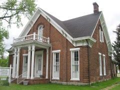 | Henry C. Peak House | building | 1980 | 80001530 |
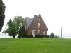 | Benjamin F. Turley House | building | 1979 | 79000989 |
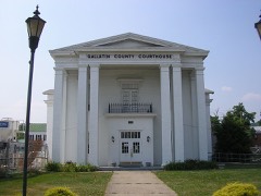 | Warsaw Historic District | district | 1982 | 82002699 |
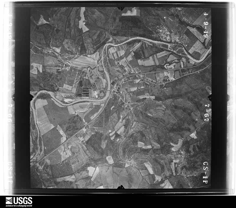
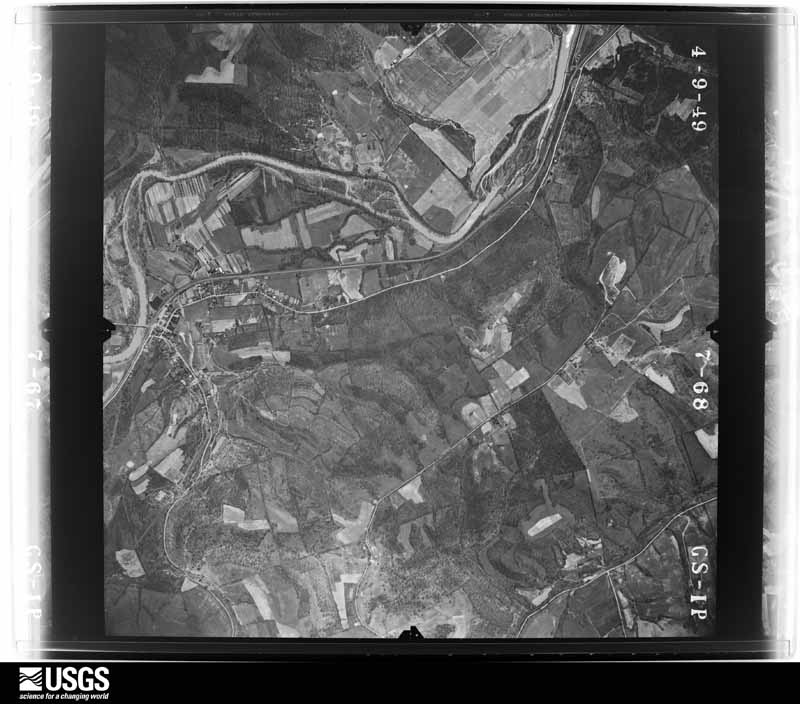
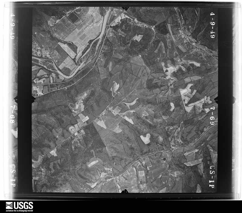
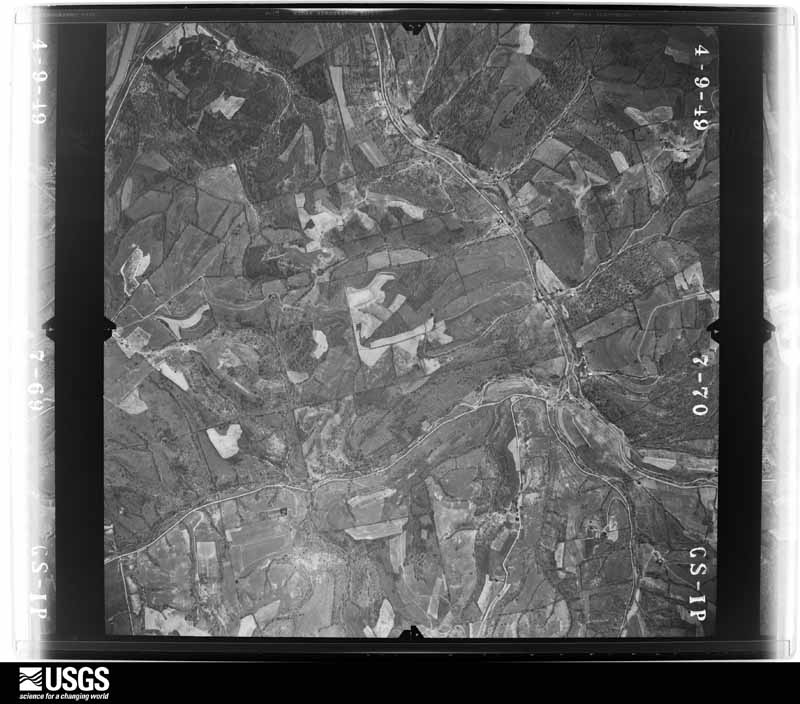
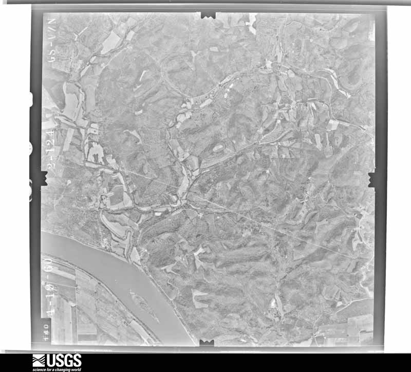
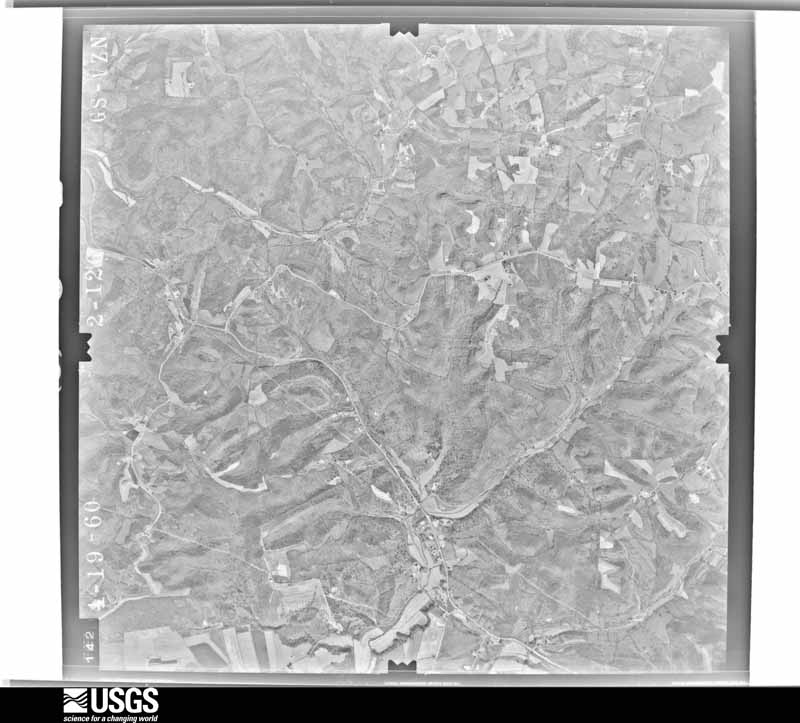
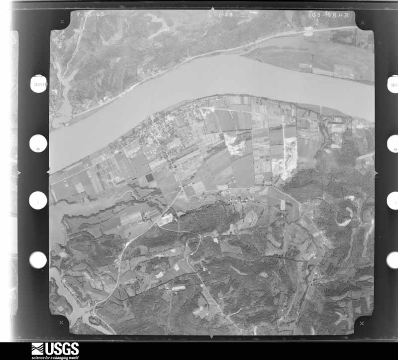
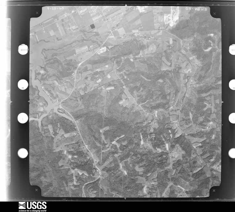
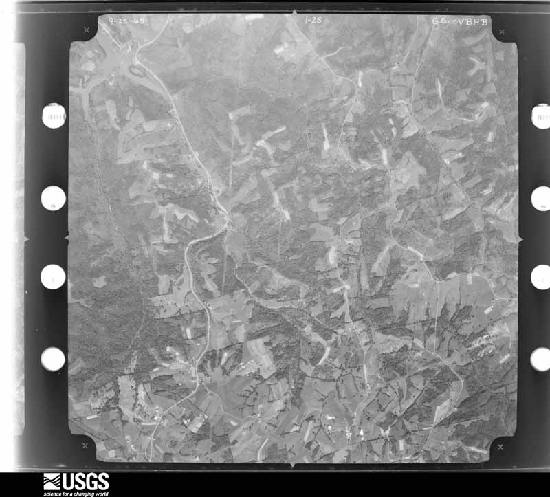
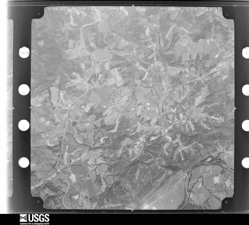
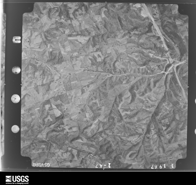
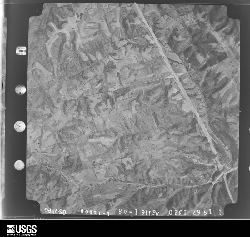
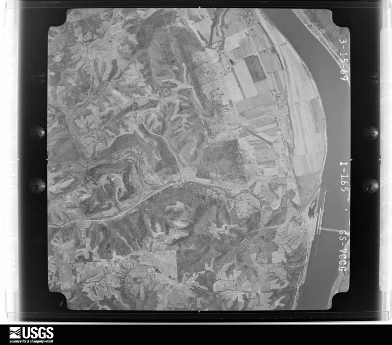
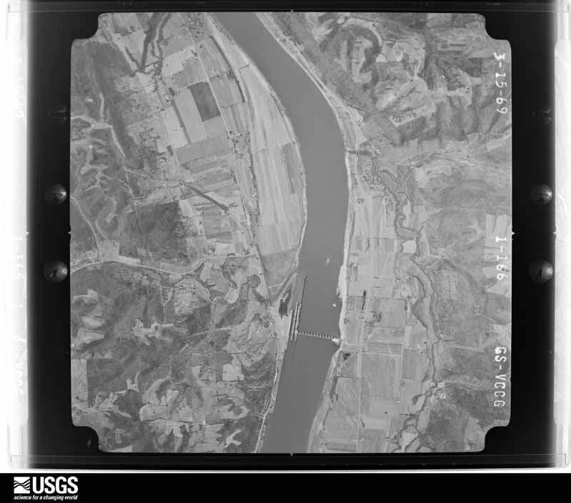
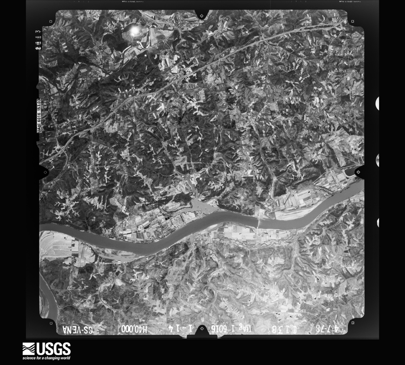
Flown by the U.S. Geological Survey between 1937 and 1989, the Aerial Photo Single Frames collection is the definitive mid-century view of the land: fields, roads and rivers as the camera saw them. The Survey holds 688 frames inside the rectangle that bounds this county; the 32 frames below were taken over the county itself, chosen across the decades of flights (at most four a year from that rectangle), so one flight cannot crowd out the rest. The full set is free to browse and download at EarthExplorer under the dataset Aerial Photo Single Frames.
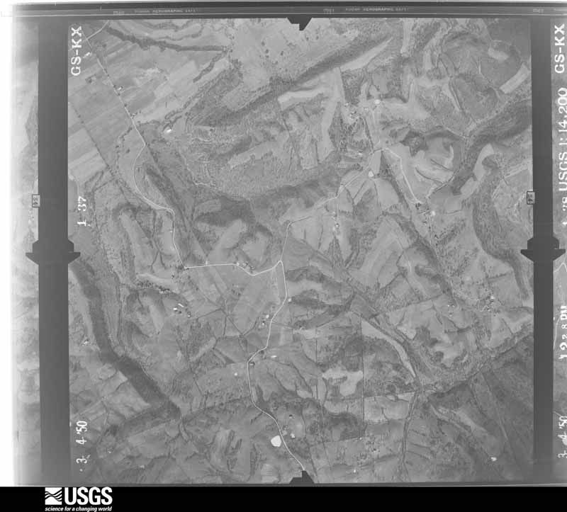
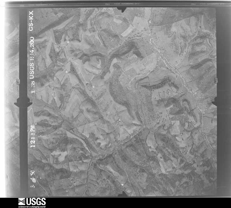
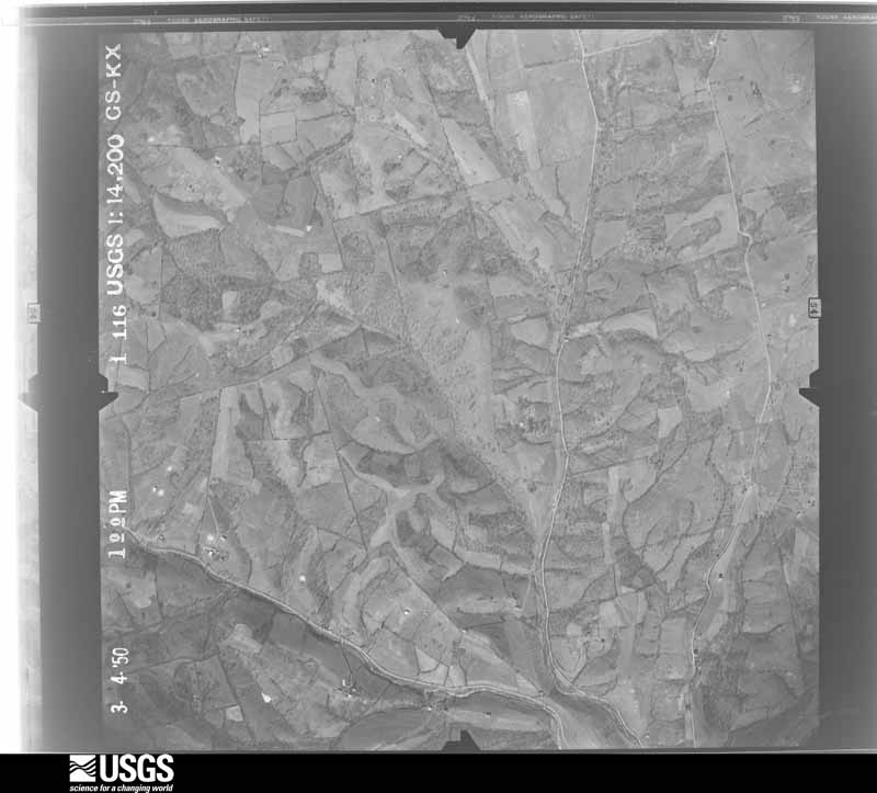
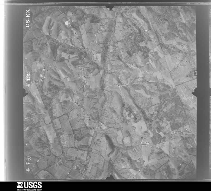
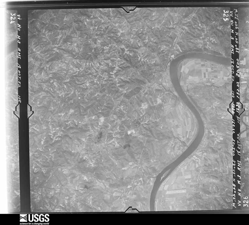
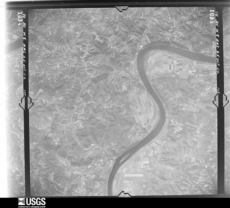
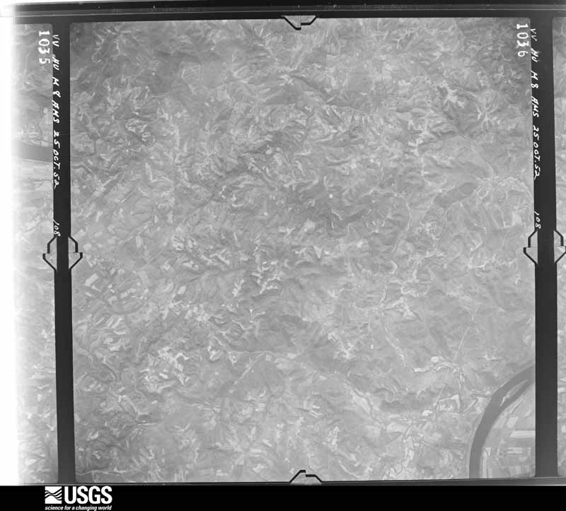
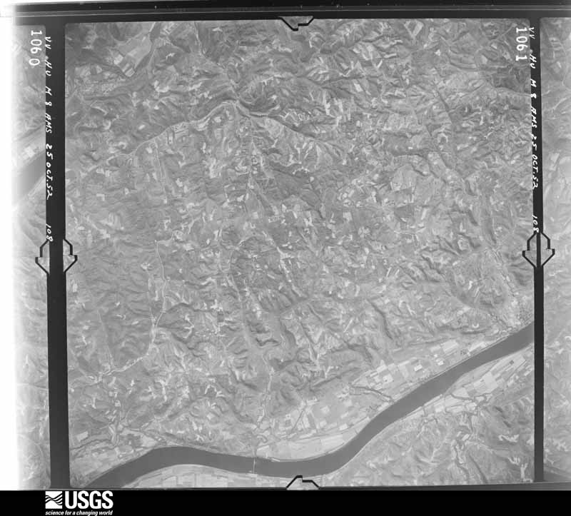


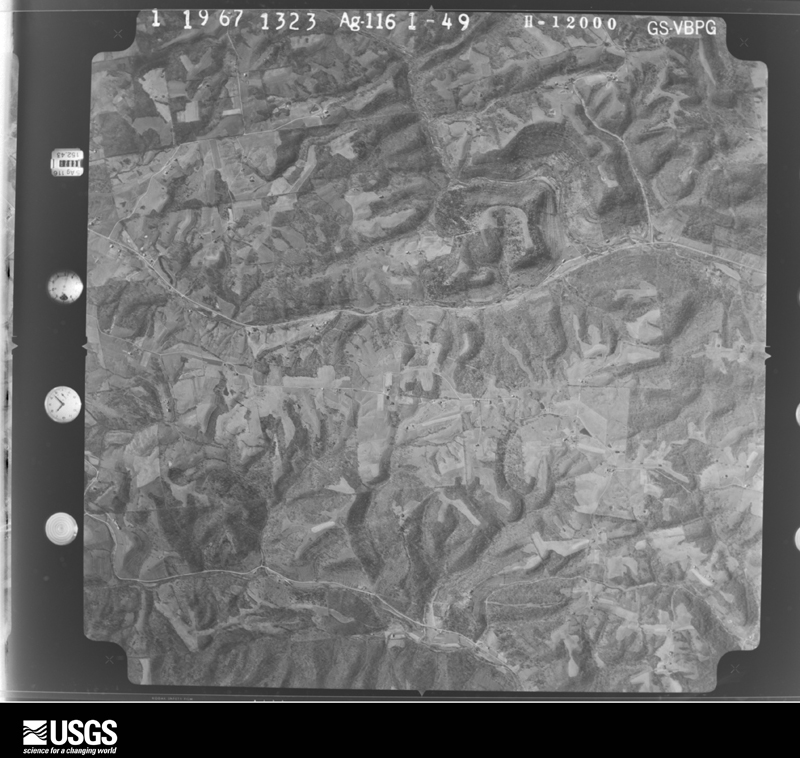
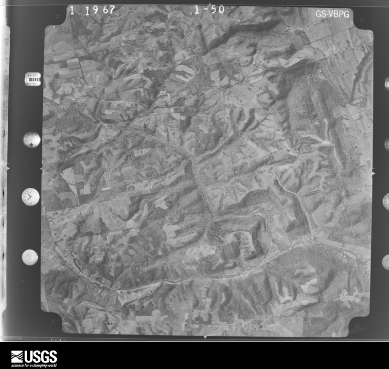
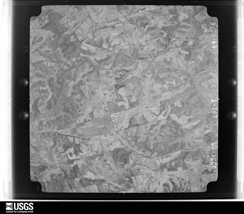
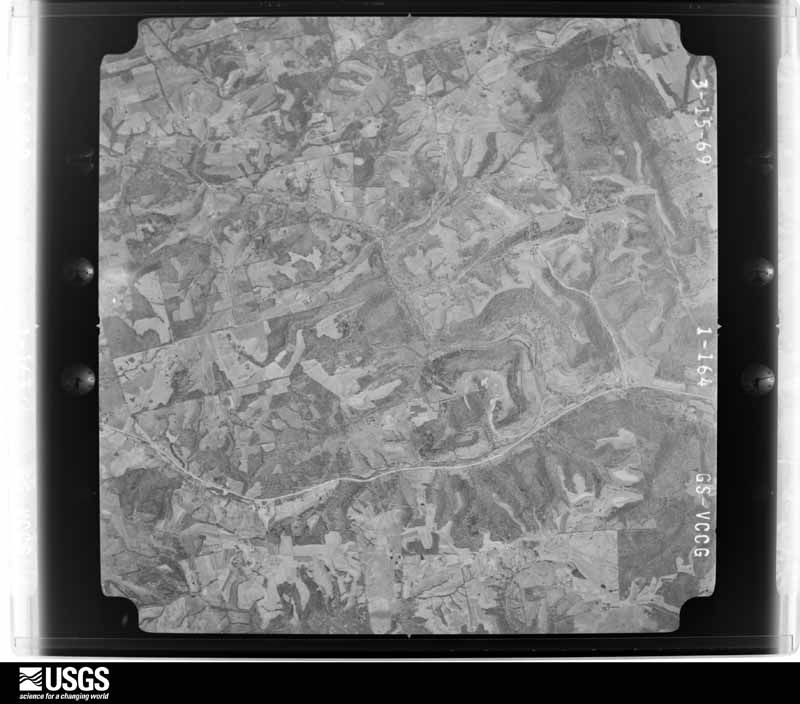



The thermometers that kept this county's weather, and the gages that measured the flow of its streams, as the federal records hold them. The extremes below are measured values from those records, not estimates.
Who lived here in 1950, one enumeration district at a time, as the Census Bureau described each district. Each row opens its official National Archives result, with Population Schedules and ED Maps available there.
Every wildfire the federal occurrence database records inside this county: 7 of them, burning about 61 acres. None started naturally and none was recorded as arson. Each settlement page carries the fires within five miles of it.
| Reported cause | Fires |
|---|---|
| Recreation and ceremony | 4 |
| Missing data/not specified/undetermined | 3 |
The five largest, by the area the report gives. None of them was recorded as arson.
| Date | Cause | Size | Reported by | Name on the report |
|---|---|---|---|---|
| 28 November 2017 | Missing data/not specified/undetermined | 45 acres | Kentucky Division of Forestry | HWY 455 FIRE |
| 2 March 2006 | Missing data/not specified/undetermined | 5.0 acres | Kentucky Division of Forestry | not named |
| 11 November 2014 | Recreation and ceremony | 4.0 acres | Kentucky Division of Forestry | VERA CRUZ |
| 9 March 2009 | Recreation and ceremony | 3.0 acres | Kentucky Division of Forestry | not named |
| 22 April 2014 | Recreation and ceremony | 2.0 acres | Kentucky Division of Forestry | VERA CRUZ |
| 26 February 2004 | Missing data/not specified/undetermined | 1.0 acres | Kentucky Division of Forestry | not named |
| 6 November 2011 | Recreation and ceremony | 1.0 acres | Kentucky Division of Forestry | BACKWATERS |
Every settlement page carries the fires within five miles of it - see the settlement index below.
The NOAA Storm Events Database holds 162 reports for this county, causing 3 deaths, 22 injuries and about $1,412,000 in recorded property damage. Each settlement page carries the reports that name it.
| Kind of event | Reports |
|---|---|
| Thunderstorm Wind | 93 |
| Flash Flood | 28 |
| Flood | 20 |
| Hail | 17 |
| Tornado | 3 |
| Heavy Rain | 1 |
The most serious of them, by death, then injury, then recorded damage. The accounts are quoted exactly as the forecast office filed them.
| When | Event | Place named | Harm | What the report says |
|---|---|---|---|---|
| August 1991 | Thunderstorm Wind | not stated | 2 killed | no account filed |
| March 1997 | Flash Flood | Countywide | 1 killed, $100,000 | no account filed |
| November 2002 | Thunderstorm Wind | Warsaw | 10 hurt, $375,000 | Several mobile homes were demolished along State Route 184 between Interstate 71 and the Ohio River. Damage was caused by a microburst. |
| May 1996 | Tornado (F1) | Warsaw | 7 hurt, $10,000 | no account filed |
| July 2023 | Thunderstorm Wind | Warsaw | 2 hurt, $20,000 | Several large tress were downed and four homes were damaged by the trees. Two people suffered minor injuries in the homes. A few telephone poles were also downed. |
| July 2016 | Thunderstorm Wind | Sparta | 2 hurt, $2,000 | Several tents were blown over at Kentucky Speedway. Two people suffered minor injuries after being hit by flying debris. |
| June 2012 | Thunderstorm Wind | Sparta | 1 hurt, $10,000 | Trees were uprooted and awnings were damaged at Kentucky Motor Speedway due to damaging thunderstorm winds. One crew member was injured. |
| July 2014 | Tornado (EF0) | Ethridge | $150,000 | A tornado touched down on Craigs Creek Lake where substantial damage occurred to a large dock near the marina entrance along US Route 42. A section of roofing and the associated supporting structure measuring approximately 75 by 75 feet was destroyed and deposited immediately to the southwest of the original location. The entire dock measured approximately 100 by 225 feet and was attached to a number of metal poles anchored into the lake bottom. These poles were approximately 6 inches in diameter and were all bent at least several degrees toward the southwest, indicating the entire structure was moved in that direction. This movement was perpendicular to the apparent storm motion at that time as ascertained from radar.||Tree damage was also observed on an island approximately 150 yards east of this dock. Several 4 to 8 inch diameter trees had fallen toward the northwest. Additional trees of similar size were also noted to be downed along the western shore of the lake near Knox Lillard Road, approximately a half mile southeast of the intersection with US Route 42. Roof covering and several concrete cinder blocks securing a patio roof were lifted from a structure along the shoreline. This material was deposited 50 to 100 feet south of the original location.||The tornado ended just before Hillandale Drive where some minor tree damage occurred along the shoreline. |
| August 2022 | Flash Flood | Napoleon | $100,000 | A bridge was washed out on Little Sugar Creek Road. |
| April 2019 | Thunderstorm Wind | Warsaw | $50,000 | A barn was collapsed and several outbuildings were damaged. In addition boat docks were tipped over and there was minor residential roof damage which consisted of shingles and tin material being removed. Finally, numerous trees were knocked down and tree limbs snapped. |
| March 2017 | Thunderstorm Wind | Sugar Bay | $50,000 | Numerous hardwood and softwood trees were snapped or uprooted. In addition, damage occurred to the roofs of several homes. Most roof damage consisted of roofing material fully or partially removed. A few barns and outbuildings were completely destroyed. The damage was consistent with wind speeds of 65 to 85 mph. |
| July 1994 | Thunderstorm Wind | not stated | $50,000 | Electric wires were downed and tree limbs were broken. The roof of a post office building was blown off. |
| April 2018 | Thunderstorm Wind | Warsaw | $35,000 | Part of a roof was torn off a church. Also, a few homes were damaged due to fallen trees and wind damage. |
| April 2020 | Tornado (EF0) | Warsaw | $30,000 | Several homes received damage to roofs, siding and porches. Damage also occurred to some barns and outbuildings. Finally, numerous trees were also knocked down or damaged. |
| December 2013 | Flash Flood | Glencoe | $30,000 | Rushing water due to heavy rainfall ripped up pavement on Highway 467 between Highway 35 and Route 127. |
| January 2000 | Flash Flood | Countywide | $25,000 | Several hours of heavy rainfall caused numerous road closings across the county. |
| July 2014 | Thunderstorm Wind | Ethridge | $20,000 | Thunderstorm winds uprooted several trees and caused some minor roof and siding damage to structures along a west to east swath through Warsaw. Damage also occurred to the roof, fencing and bleachers at Gallatin High School. |
| May 2012 | Hail | Sparta | $20,000 | Hail damage occurred to cars and broke a sky light. |
| June 2013 | Thunderstorm Wind | Sparta | $15,000 | Several trees were downed and pop up campers were turned over on the property of the Kentucky Speedway due to thunderstorm winds. |
| March 2011 | Thunderstorm Wind | Warsaw | $15,000 | A few small structures and sheds were blown off of their foundation due to damaging thunderstorm winds. |
| November 2002 | Thunderstorm Wind | Glencoe | $15,000 | Several large trees were downed. Powerlines were also knocked down and the roof was taken off of a house. |
| April 2014 | Thunderstorm Wind | Sugar Bay | $10,000 | Trees and power lines were downed to the east of Warsaw due to thunderstorm winds. Two of these trees were located along Ambrose Road off of Highway 42. |
| December 2013 | Thunderstorm Wind | Warsaw | $10,000 | Numerous trees were downed county wide due to thunderstorm winds. |
| July 2012 | Thunderstorm Wind | Glencoe | $10,000 | Numerous trees were downed due to damaging thunderstorm winds. |
| February 2000 | Flash Flood | Countywide | $10,000 | Heavy rainfall caused roads to be flooded across the county. |
| April 1996 | Thunderstorm Wind | Warsaw | $10,000 | no account filed |
| August 2022 | Flash Flood | Ryle | $8,000 | A car was stranded in high water and the occupants had to be rescued. |
| May 2004 | Thunderstorm Wind | Countywide | $8,000 | Trees were knocked down. |
| July 2004 | Thunderstorm Wind | Warsaw | $8,000 | Several trees were downed. One tree fell on a house, causing minor damage. |
| May 2005 | Thunderstorm Wind | Countywide | $6,000 | Several trees were knocked down. |
| July 2005 | Thunderstorm Wind | Warsaw | $6,000 | Trees were downed along US Route 42 to the west of the intersection with US Route 127. One tree fell on a house, causing minor damage. |
| May 2010 | Flash Flood | Warsaw | $5,000 | Multiple roads were flooded or closed due to high water. |
| August 2009 | Flash Flood | Carson | $5,000 | Water was reported crossing State Routes 465 and 47. |
| March 2008 | Flood | Sparta | $5,000 | Numerous roads were flooded throughout the county. |
| August 2007 | Thunderstorm Wind | Napoleon | $5,000 | Five trees were knocked down. |
| August 2005 | Thunderstorm Wind | Glencoe | $5,000 | A few trees were downed. A barn sustained minor damage. |
| May 2004 | Thunderstorm Wind | Countywide | $5,000 | Several trees were downed. |
| July 2001 | Thunderstorm Wind | Countywide | $5,000 | Many trees knocked down across the county. |
| July 2001 | Thunderstorm Wind | Countywide | $5,000 | Numerous trees knocked down across the county. |
| October 2001 | Thunderstorm Wind | Glencoe | $5,000 | Numerous trees and powerlines were blown down throughout town. |
| February 2000 | Flash Flood | Sparta | $5,000 | Persistent heavy rainfall caused State Route 467 to be flooded between Sparta and Glencoe. |
| August 2000 | Thunderstorm Wind | Glencoe | $5,000 | Numerous trees were knocked down. |
| November 1998 | Thunderstorm Wind | Countywide | $5,000 | Trees and power poles down due to estimated winds of 60 to 65 mph. |
| June 1997 | Flash Flood | Countywide | $5,000 | Numerous roads flooded. |
| June 1994 | Thunderstorm Wind | Powersville | $5,000 | Two trees/power lines were blown down. |
| May 1996 | Hail | Warsaw | $5,000 | no account filed |
| May 1996 | Flash Flood | Warsaw | $5,000 | no account filed |
| May 1996 | Flash Flood | Countywide | $5,000 | no account filed |
| May 2024 | Thunderstorm Wind | Sparta | $4,000 | A few trees were downed along State Route 465 near Sparta. |
| March 2022 | Thunderstorm Wind | Sugar Bay | $4,000 | A lean to was blown off of a building. A nearby tree was also downed. |
| June 2015 | Thunderstorm Wind | Carson | $4,000 | Portions of a metal roof were blown off a house. |
| April 2006 | Thunderstorm Wind | Napoleon | $4,000 | Several trees and large limbs were knocked down. Wind gusts were estimated at 60 mph. |
| May 2022 | Thunderstorm Wind | Ethridge | $3,000 | A few trees were downed at the intersection of U.S. 42 and State Route 184. |
| March 2022 | Thunderstorm Wind | Sugar Bay | $3,000 | Sheet metal was blown off of a structure. |
| June 2022 | Thunderstorm Wind | Sugar Bay | $3,000 | A few trees were downed along U.S. 42. |
| February 2021 | Flood | Sugar Bay | $3,000 | A water rescue was performed along South Fork Road due to a partially submerged vehicle. |
| June 2019 | Thunderstorm Wind | Sugar Bay | $3,000 | A few trees were knocked down. |
| May 2018 | Thunderstorm Wind | Glencoe | $3,000 | A few trees were downed on U.S. 127 and Route 455. |
| May 2018 | Thunderstorm Wind | Warsaw | $3,000 | Several large trees were downed. |
| July 2017 | Thunderstorm Wind | Warsaw | $3,000 | A few trees were downed in the Warsaw area. |
The Survey's mineral resources record lists 1 working inside this county. It still produces. Each settlement page carries the workings within five miles of it.
| Commodity | Workings |
|---|---|
| Sand and Gravel, Construction | 1 |
The least common of them first, because a county's hundredth gravel pit says nothing its first ten did not.
| Where | Site | Commodity | Status | Recorded |
|---|---|---|---|---|
| Warsaw Plant | Sand and Gravel, Construction | Producer |
Named settlements recorded in the Geographic Names Information System, each with the topographic sheets covering it. Villages, hamlets and abandoned places alike. Each is shown with the nearest named watercourse or landform and the survey quadrangle it falls on. The 1 place that was also surveyed for fire insurance comes first, with the number of atlases and photographs held for them.
Warsaw census division · 41095 · Near Johnson Hill · Florence quadrangle
11 sheets, 1943 to 1986
Fire insurance: 1 atlas
Warsaw census division · 41095 · On Craigs Creek · Florence quadrangle
11 sheets, 1943 to 1986
Warsaw census division · 41092 · On McPherson Branch · Verona quadrangle
9 sheets, 1950 to 1986
Warsaw census division · 41095 · On Steele Creek · Patriot quadrangle
12 sheets, 1943 to 1986
No longer a settlement
The vanished settlements of Gallatin County: the places named above that are no longer on the map.