 Block
From the record
3 National Register listings published here.
Sources: the National Register database, National Park Service
36 topographic sheets and 8 fire insurance atlases across 1 place.
3 National Register listings published here.
Sources: the National Register database, National Park Service
Taken for the Office of War Information and the Farm Security Administration, who photographed the country between 1935 and 1944. Works of United States government photographers, with no known restriction on use. Each opens its catalogue record.
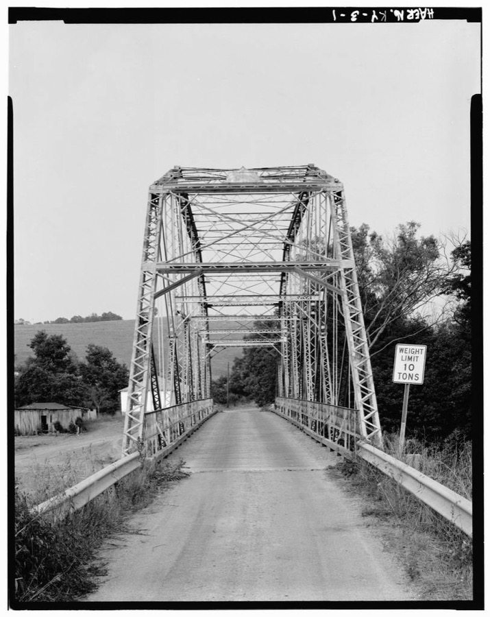
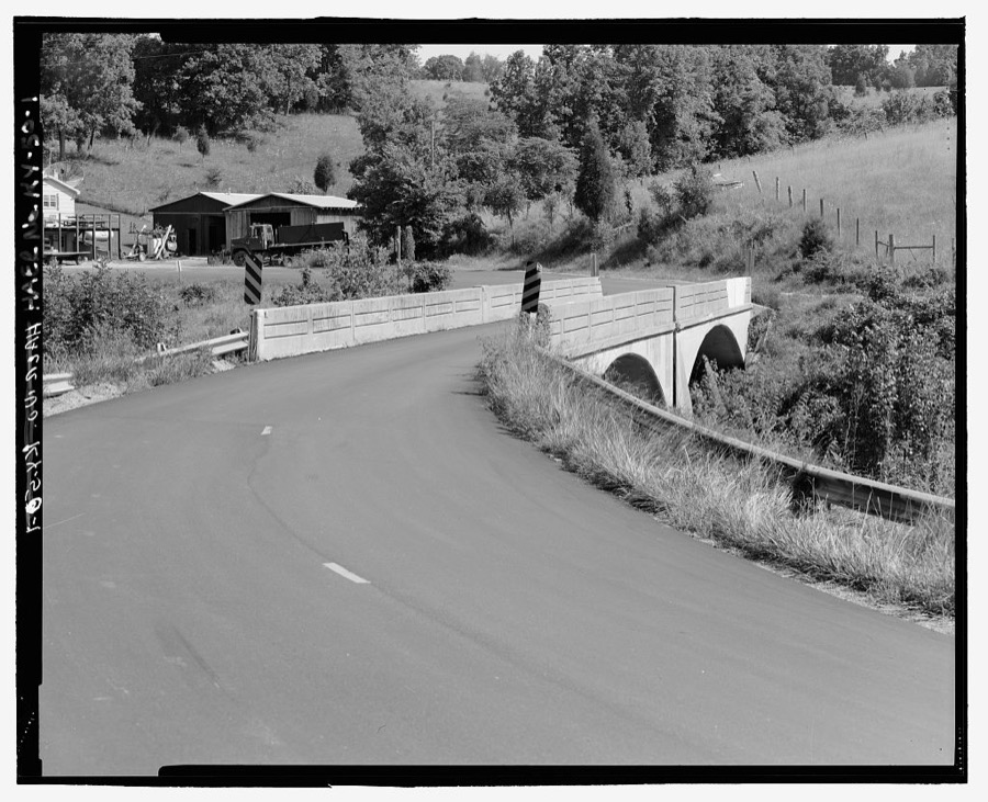
Every property in this county listed on the National Register of Historic Places, with the year it was listed and the federal nomination document.
| Photograph | Property | Type | Listed | Reference |
|---|---|---|---|---|
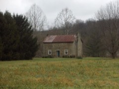 | Ford Stone House | building | 1980 | 80001532 |
| Independent Order of Odd Fellows Hall | building | 2025 | 100011687 | |
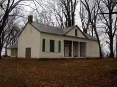 | Sherman Tavern | building | 1979 | 79000990 |
Selected from the Digital Public Library of America's 4 image records catalogued for this county. Every one shown here carries a public-domain status or a licence that permits reuse on a site that carries advertising; non-commercial, share-alike and restricted images are excluded. The selection is spread across the county's towns (at most eight per town), so no single institution's bulk upload crowds out the rest. Each opens the holding library's record, and the complete set at the Digital Public Library of America is one click away.

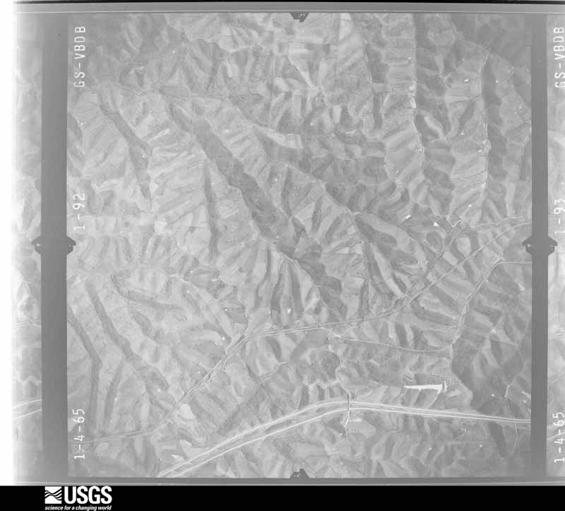
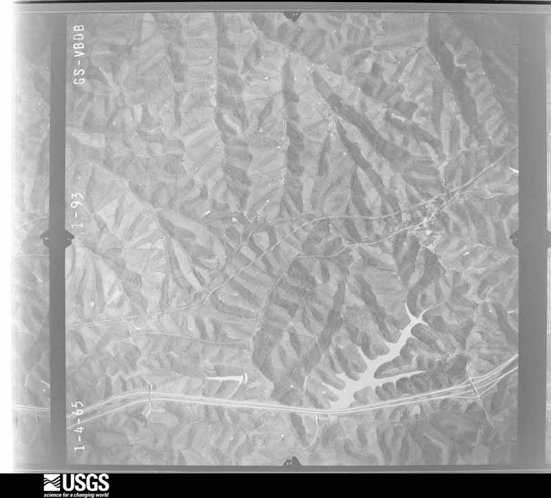
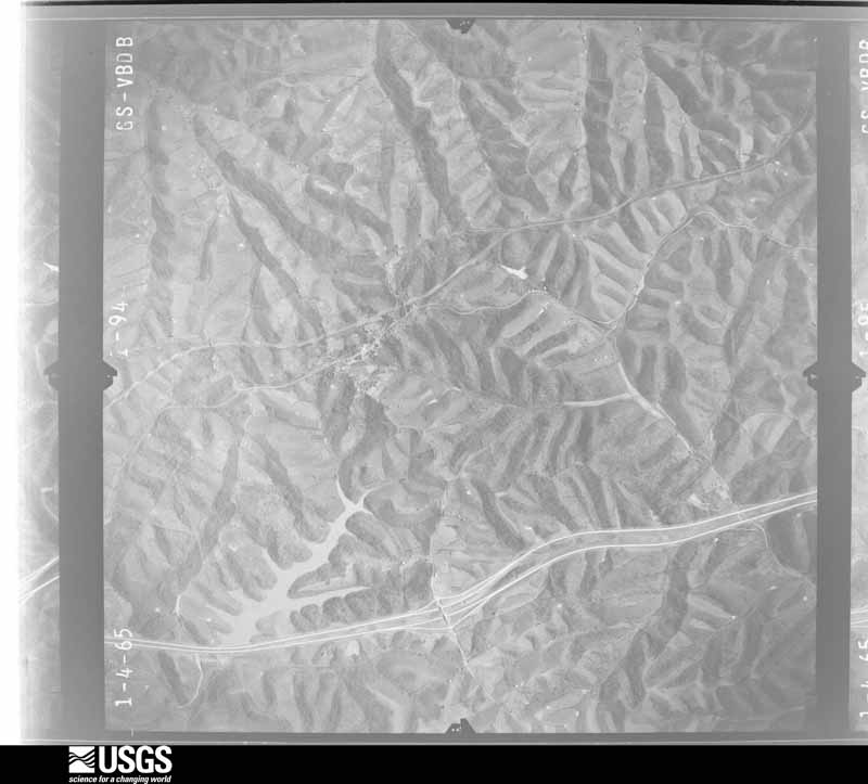
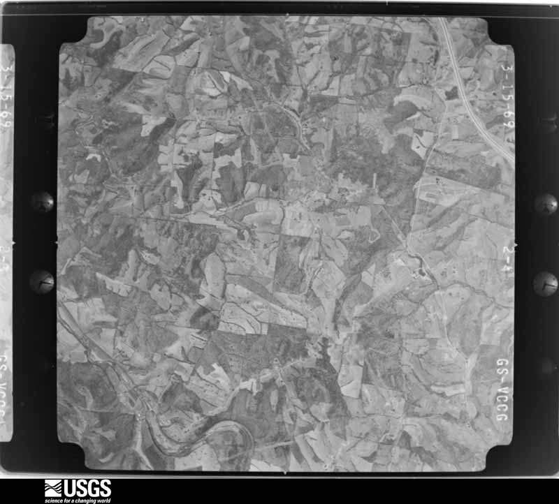
Flown by the U.S. Geological Survey between 1937 and 1989, the Aerial Photo Single Frames collection is the definitive mid-century view of the land: fields, roads and rivers as the camera saw them. The Survey holds 755 frames inside the rectangle that bounds this county; the 23 frames below were taken over the county itself, chosen across the decades of flights (at most four a year from that rectangle), so one flight cannot crowd out the rest. The full set is free to browse and download at EarthExplorer under the dataset Aerial Photo Single Frames.



















The thermometers that kept this county's weather, as the federal records hold them. The extremes below are measured values from those records, not estimates.
Who lived here in 1950, one enumeration district at a time, as the Census Bureau described each district. Each row opens its official National Archives result, with Population Schedules and ED Maps available there.
Every wildfire the federal occurrence database records inside this county: 21 of them, burning about 118 acres. None started naturally and 2 were recorded as arson. Each settlement page carries the fires within five miles of it.
| Reported cause | Fires |
|---|---|
| Missing data/not specified/undetermined | 11 |
| Debris and open burning | 4 |
| Recreation and ceremony | 4 |
| Arson/incendiarism | 2 |
The five largest, by the area the report gives. One of them was set deliberately.
| Date | Cause | Size | Reported by | Name on the report |
|---|---|---|---|---|
| 2 March 2001 | Debris and open burning | 30 acres | Kentucky Division of Forestry | not named |
| 27 March 1998 | Arson/incendiarism | 15 acres | Kentucky Division of Forestry | not named |
| 18 February 2002 | Missing data/not specified/undetermined | 15 acres | Kentucky Division of Forestry | not named |
| 7 March 2009 | Recreation and ceremony | 10 acres | Kentucky Division of Forestry | not named |
| 7 March 2002 | Recreation and ceremony | 6.0 acres | Kentucky Division of Forestry | not named |
| 16 February 2011 | Debris and open burning | 5.0 acres | Kentucky Division of Forestry | SLOPPY DRIVE |
| 11 April 2006 | Missing data/not specified/undetermined | 5.0 acres | Kentucky Division of Forestry | not named |
| 18 February 2011 | Recreation and ceremony | 5.0 acres | Kentucky Division of Forestry | GOLDEN VALLEY |
Every settlement page carries the fires within five miles of it - see the settlement index below.
The NOAA Storm Events Database holds 211 reports for this county, causing 1 death, 1 injury and about $2,672,500 in recorded property damage. Each settlement page carries the reports that name it.
| Kind of event | Reports |
|---|---|
| Thunderstorm Wind | 124 |
| Hail | 40 |
| Flash Flood | 27 |
| Flood | 10 |
| Tornado | 7 |
| Heavy Rain | 3 |
The most serious of them, by death, then injury, then recorded damage. The accounts are quoted exactly as the forecast office filed them.
| When | Event | Place named | Harm | What the report says |
|---|---|---|---|---|
| September 1976 | Tornado (F1) | not stated | 1 killed, $250,000 | no account filed |
| July 2023 | Thunderstorm Wind | Twin Bridges | 1 hurt, $10,000 | A home was damaged and one person suffered minor injuries. |
| March 1997 | Flash Flood | Countywide | $1,000,000 | no account filed |
| March 2012 | Tornado (EF3) | Crittenden | $500,000 | The tornado touched down in Grant County at 1623 EST, causing low to mid EF3 damage specifically in the Harvesters Subdivision. This damage occurred at the west end of Barley Circle. Most of the damage in the rest of the subdivision was EF1 to EF2. Based on the damage surveyed, the maximum wind speed of this tornado while in Grant County was estimated at 145 miles per hour. After traveling 1.33 miles on the ground in Grant County, the tornado then crossed into Kenton County at 1624 EST. Immediately as the tornado crossed west to east of Interstate 75, it strengthened to EF4 level. Five single family homes were destroyed down to their foundations in this area, with at least two of these homes having strapping or bolting to their foundations. The EF4 damage continued to the north end of Lexington Pike, where 2 homes and multiple outbuildings were completely destroyed. Both homes were brick structures with foundation bolting or strapping. The EF4 winds continued across Route 25 and ended near the Bagby Road area. At least 2 vehicles were carried, with one carried over 1800 feet. Trees were stripped of nearly all branches, with much of the bark also stripped. All 4 fatalities with this tornado occurred within the area of EF4 damage. As the tornado headed further to the east northeast, high end EF3 damage continued through other properties along Bagby Road, to Carlisle, Parker Grove, and Paxton Roads. Numerous double and single wide homes were destroyed, with both brick and siding structures left with collapsed exterior walls and either all or a large percentage of the roof removed. The tornado continued the east northeast path into southeast Kenton County, to the Licking River near Morning View. Damage in the Morning View area was consistent with EF1 to EF2 damage to near the Campbell County line, where the tornado lifted at 1632 EST after traveling 8.52 miles in Kenton County. Based on the damage surveyed, the maximum wind speed from this tornado while in Kenton County was estimated at 175 miles per hour. This storm produced an earlier tornado in southern Indiana. Debris, possibly from that tornado, was later observed falling from the sky across Boone County, Kentucky. |
| January 2023 | Tornado (EF0) | Dry Ridge | $150,000 | The tornado appeared to first touch down at a residence along Arlington Court, where part of the roof was removed. Shingles, roof sheathing and insulation were lifted and blown several hundred yards to the east northeast of the residence. Minor siding and roof damage occurred to a neighboring house. In addition, insulation from the first house was back spattered on the east facing garage of the second house.||The tornado continued to track east northeast across Arnie Risen Boulevard, where a tree was downed and a street sign was bent to the ground. The tornado then crossed a tree line, where several trees and large branches were downed, before it crossed a set of railroad tracks and U.S. Route 25. Just east of here, a steel warehouse building suffered partial roof uplift and roof damage. Two door frames on opposite sides of the building were blown inward and a large steel cross beam was bent from the apparent roof uplift. In addition, the soffit around the building was damaged. This appeared to be the peak intensity of the tornado where winds of 85 mph were estimated. |
| June 2001 | Flash Flood | Corinth | $50,000 | Several hours of heavy rainfall caused a stream to overflow its banks. The high water damaged a bridge and forced the evacuation of several residents. |
| April 2020 | Tornado (EF1) | Jericho | $35,000 | Damage occurred to numerous homes and outbuildings. Damage and destruction also occurred to large mature trees. |
| April 2018 | Thunderstorm Wind | Williamstown | $30,000 | A mobile home was blown off of its foundation. A few cars were blown into other cars and numerous trees were knocked down from the 500 block of North Main Street, to east of town. |
| May 2018 | Flash Flood | Williamstown | $30,000 | Part of Helton Road was washed out. Several roads and businesses were also flooded in Williamstown. |
| April 2011 | Tornado (EF1) | Northcutt | $30,000 | The tornado touched down in Grant County near Greenville Road at 1410 and passed into Pendleton County on Price Pike at 1412. The tornado continued in Pendleton County until 1415 when it lifted near Route 467 just passed Fogle Road. The tornado was on the ground in Grant County for 1.47 miles and in Pendleton County for 2.81 miles. The total tornado path was 4.28 miles. Damage in Grant County was around thirty thousand dollars and damage in Pendleton County was around five thousand dollars. Estimated maximum wind speed based on damage was around 90 miles per hour. The tornado in both counties was rated EF1. In Grant County significant damage occurred to a well constructed barn near Greenville Road. Numerous trees were down along the path, both in Grant and in Pendleton Counties. |
| April 2015 | Flood | Holbrook | $25,000 | A bridge was washed out on Lusby Mills Road. |
| April 2011 | Tornado (EF0) | Folsom | $25,000 | On Folsom-Jonesville Road the tornado destroyed a garage, damaged a trailer, and damaged another nearby house. When the tornado crossed Warsaw Road it destroyed a barn. Numerous trees were also blown down along the path of the tornado. The maximum estimated wind speed based on damage is 70 miles per hour. |
| November 2000 | Thunderstorm Wind | Williamstown | $25,000 | Thunderstorm winds knocked down numerous trees, some of which fell on power lines and one of which fell on a mobile home. |
| February 2008 | Thunderstorm Wind | Dry Ridge | $20,000 | A barn was blown into the middle of Warsaw Road. Two additional barns were knocked down along Bannister Road. Debris from a building was scattered across US Route 25 between Dry Ridge and Crittenden. Power poles were also downed. |
| August 2007 | Thunderstorm Wind | Crittenden | $20,000 | Two buildings sustained minor roof damage, and a barn was destroyed. Several trees were also knocked down. |
| April 2018 | Thunderstorm Wind | Williamstown | $15,000 | Several small buildings were leveled at the Cherry Hill mobile park. A band trailer was flipped onto its side. |
| April 2006 | Thunderstorm Wind | Williamstown | $15,000 | A church lost its roof in Dry Ridge. Trees were downed from Williamstown to Dry Ridge. |
| February 2000 | Flash Flood | Countywide | $15,000 | Heavy rainfall caused creeks across the county to flood, including Crooked Creek and Arnold Creek. |
| April 2020 | Thunderstorm Wind | Mt Zion | $12,000 | Severe damage was reported to a house, as an entire side was removed. Large trees were snapped along Vallandingham Road. |
| April 2011 | Thunderstorm Wind | Elliston | $12,000 | A roof was damaged on a home due to damaging thunderstorm winds. In addition, trees and power poles were reported down due to the winds. |
| April 2020 | Tornado (EF0) | Dry Ridge | $10,000 | The tornado touched down 3.5 miles east of the Mt. Zion area, on the western fringe of Williamstown Lake, along Peaceful Hollow Road. Several outbuildings and barns sustained roof damage, as well as some roof damage to homes.||The tornado then moved into Pendleton County at 21:50 EST and ended in Pendleton County near Milford Road at 22:07 EST. |
| May 2018 | Flash Flood | Mt Zion | $10,000 | High water damaged the bridge on Crittenden Mount Zion Road over Ten Mile Creek. |
| March 2017 | Thunderstorm Wind | Sherman | $10,000 | Numerous trees were reported downed onto county roads, especially across northern portions of the county. |
| November 2013 | Thunderstorm Wind | Dry Ridge | $10,000 | The top of a tree broke off and landed on a car due to thunderstorm winds. |
| October 2009 | Flash Flood | Elliston | $10,000 | A water rescue occurred on Mt Zion Elliston Road due to heavy rain which caused flash flooding. |
| April 2006 | Thunderstorm Wind | Corinth | $10,000 | A barn was blown off its foundation and on to Keefer Road. |
| July 2001 | Thunderstorm Wind | Jonesville | $10,000 | Numerous trees and large limbs were knocked down across the county. A shed was also damaged near Jonesville. |
| January 2000 | Flash Flood | Dowingsville | $10,000 | Heavy rainfall caused several intersections to be closed. |
| August 2000 | Thunderstorm Wind | Countywide | $10,000 | Numerous trees downed across the county. |
| August 2000 | Thunderstorm Wind | Dry Ridge | $10,000 | Trees were knocked down across the county. |
| April 1999 | Thunderstorm Wind | Countywide | $10,000 | Several trees down across the county. |
| May 1997 | Thunderstorm Wind | Dry Ridge | $10,000 | Camper overturned and roof blown off a shed. |
| May 1996 | Thunderstorm Wind | Countywide | $10,000 | no account filed |
| July 2023 | Thunderstorm Wind | Blanchet | $8,000 | Several trees were downed in the Corinth area, especially along Blanchet Road. |
| May 2004 | Thunderstorm Wind | Countywide | $8,000 | Trees were knocked down. |
| April 2020 | Thunderstorm Wind | Mt Zion | $7,000 | A significant amount of siding was blown off a home. Also, a tree was blown down onto a car. |
| July 2023 | Thunderstorm Wind | Stewartsville | $5,000 | Several trees were downed along Burgess Road. |
| July 2023 | Thunderstorm Wind | Mt Zion | $5,000 | Several trees were downed in the Mount Zion area. |
| April 2022 | Thunderstorm Wind | Cordova | $5,000 | A barn was damaged. |
| August 2021 | Thunderstorm Wind | Sherman | $5,000 | A few power poles were snapped along Dixie Highway near Sherman. |
| July 2020 | Thunderstorm Wind | Dry Ridge | $5,000 | Several trees were downed in the Dry Ridge area, including along Stewart Lane, Kings Drive and Elm Street. |
| April 2020 | Thunderstorm Wind | Mt Zion | $5,000 | Numerous trees and power lines were knocked down. |
| June 2015 | Thunderstorm Wind | Lawrenceville | $5,000 | Multiple trees knocked down near the intersection of Keefer and Lawrenceville Roads. |
| July 2015 | Thunderstorm Wind | Corinth | $5,000 | Numerous trees were downed across Grant County. |
| July 2003 | Thunderstorm Wind | Countywide | $5,000 | Trees were knocked down. |
| July 2002 | Thunderstorm Wind | Crittenden | $5,000 | Several trees were blown down. |
| July 2001 | Thunderstorm Wind | Countywide | $5,000 | Trees knocked down across the county. |
| October 2001 | Thunderstorm Wind | Crittenden | $5,000 | Several trees were knocked down across the county. |
| February 2000 | Flash Flood | Corinth | $5,000 | Heavy rainfall caused water to flood across roads. |
| August 2000 | Flash Flood | Williamstown | $5,000 | Heavy rainfall caused roads to be flooded. |
| August 2000 | Thunderstorm Wind | Dry Ridge | $5,000 | Numerous trees downed across the county. |
| July 1999 | Thunderstorm Wind | Countywide | $5,000 | Trees and power lines downed. |
| June 1997 | Flash Flood | Countywide | $5,000 | Area creeks and streams including Eagle Creek rose out of their banks and flooded some roads mainly over the northern part of the county. |
| May 1994 | Thunderstorm Wind | not stated | $5,000 | Strong winds damaged a garage door and part of the roof of a gas station. Also, a couple of windows were knocked out of a van due to flying debris. |
| April 2026 | Thunderstorm Wind | Dry Ridge | $4,000 | Several trees were downed. |
| July 2023 | Thunderstorm Wind | Delia | $4,000 | A few trees were downed along Taft Highway near State Route 36. |
| July 2023 | Thunderstorm Wind | Stewartsville | $4,000 | A few trees were downed along Barnes Road. |
| July 2023 | Thunderstorm Wind | Lawrenceville | $4,000 | A few trees were downed along Heekin Road in the Lawrenceville area. |
| July 2023 | Thunderstorm Wind | Cordova | $4,000 | A few trees were downed along Cordova Road. |
| August 2021 | Thunderstorm Wind | Dry Ridge | $4,000 | Several trees were downed in the Dry Ridge area. |
Named settlements recorded in the Geographic Names Information System, each with the topographic sheets covering it. Villages, hamlets and abandoned places alike. Each is shown with the nearest named watercourse or landform and the survey quadrangle it falls on. The 1 place that was also surveyed for fire insurance comes first, with the number of atlases and photographs held for them.
Williamstown-Dry Ridge census division · 41097 · Near Humes Ridge · Williamstown quadrangle
8 sheets, 1950 to 1986
Fire insurance: 8 atlases
Crittenden census division · 41035 · Walton quadrangle
10 sheets, 1950 to 1986
No longer a settlement
Williamstown-Dry Ridge census division · 41035 · Williamstown quadrangle
8 sheets, 1950 to 1986
No longer a settlement
Williamstown-Dry Ridge census division · 41097 · Mason quadrangle
8 sheets, 1950 to 1986
Corinth census division · 41003 · On Dunn Mazie Run · Mason quadrangle
8 sheets, 1950 to 1986
Williamstown-Dry Ridge census division · 41097 · On Clay Lick · Elliston quadrangle
7 sheets, 1950 to 1986
Williamstown-Dry Ridge census division · 41035 · On Stevens Creek · Elliston quadrangle
7 sheets, 1950 to 1986
Williamstown-Dry Ridge census division · 41035 · Williamstown quadrangle
8 sheets, 1950 to 1986
Williamstown-Dry Ridge census division · 41035 · On Napoleon Branch · Elliston quadrangle
7 sheets, 1950 to 1986
Crittenden census division · 41030 · On Wildcat Branch · Walton quadrangle
10 sheets, 1950 to 1986
Williamstown-Dry Ridge census division · 41035 · On Ten Mile Creek · Elliston quadrangle
7 sheets, 1950 to 1986
Williamstown-Dry Ridge census division · 41035 · On Clay Lick · Elliston quadrangle
7 sheets, 1950 to 1986
Williamstown-Dry Ridge census division · 41035 · Near Gold Mine Hollow · Owenton quadrangle
9 sheets, 1950 to 1986
No longer a settlement
Williamstown-Dry Ridge census division · 41097 · Near Simpson Ridge · Mason quadrangle
8 sheets, 1950 to 1986
Williamstown-Dry Ridge census division · 41097 · Lawrenceville quadrangle
6 sheets, 1950 to 1986
Williamstown-Dry Ridge census division · 41052 · Near Gold Mine Hollow · Glencoe quadrangle
8 sheets, 1950 to 1986
Williamstown-Dry Ridge census division · 41097 · On Long Branch · Lawrenceville quadrangle
6 sheets, 1950 to 1986
Williamstown-Dry Ridge census division · 41035 · On Townsend Branch · Williamstown quadrangle
8 sheets, 1950 to 1986
Williamstown-Dry Ridge census division · 41035 · Williamstown quadrangle
8 sheets, 1950 to 1986
No longer a settlement
Williamstown-Dry Ridge census division · 41035 · Williamstown quadrangle
8 sheets, 1950 to 1986
Williamstown-Dry Ridge census division · 41097 · On Williams Branch · Elliston quadrangle
7 sheets, 1950 to 1986
Crittenden census division · 41035 · Walton quadrangle
10 sheets, 1950 to 1986
No longer a settlement
Crittenden census division · 41035 · On Little Ten Mile Creek · Verona quadrangle
9 sheets, 1950 to 1986
The vanished settlements of Grant County: the places named above that are no longer on the map.
8 topographic sheets and 8 fire insurance atlases, 1886 to 1927
The complete index, with nothing left out. Each of these is a separate record with its own page: a federal survey report, or the case file that argued a property on to the National Register. Both are public domain and reproduced word for word.
The vanished settlements of Grant County, the places these records name that are no longer on the map.