 Block
From the record
2 National Register listings published here.
Sources: the National Register database, National Park Service
70 topographic sheets cover 82 settlements here, and 2 properties are on the National Register of Historic Places.
2 National Register listings published here.
Sources: the National Register database, National Park Service
Every property in this county listed on the National Register of Historic Places, with the year it was listed and the federal nomination document.
| Photograph | Property | Type | Listed | Reference |
|---|---|---|---|---|
 | Annville Institute | district | 2012 | 12000043 |
| Arthur Lakes Log House | building | 2000 | 00000867 |
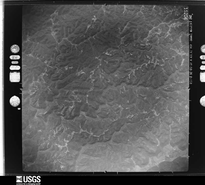
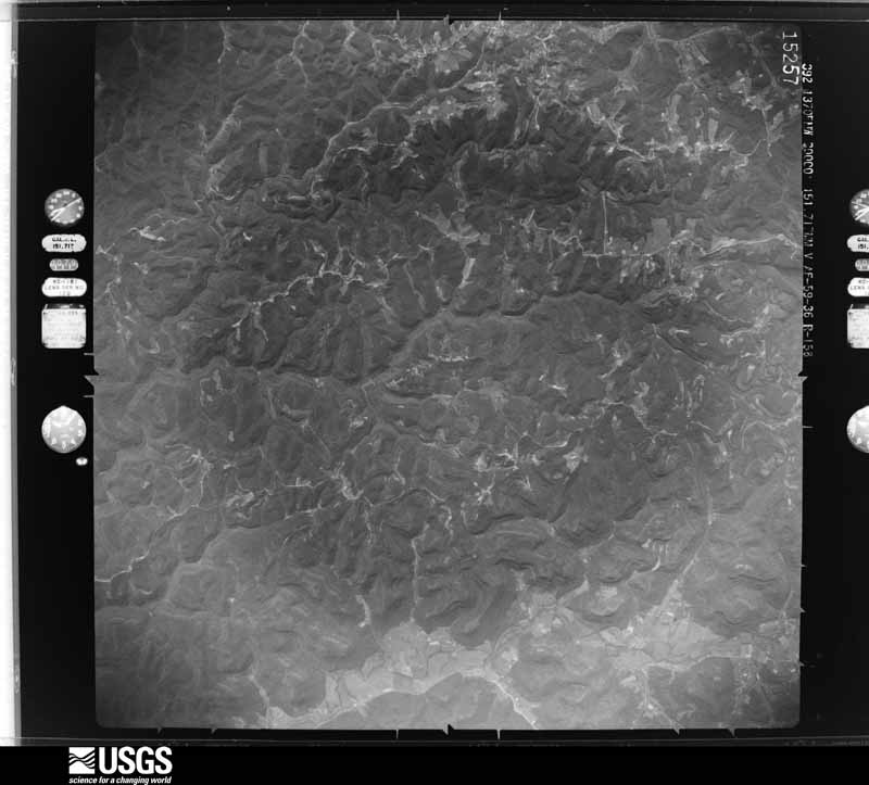
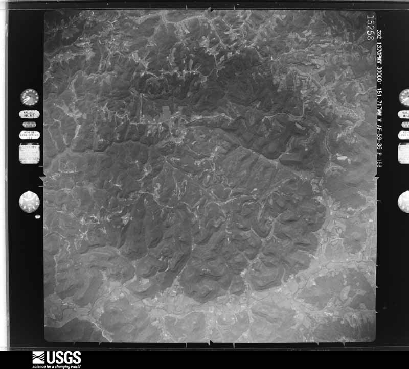
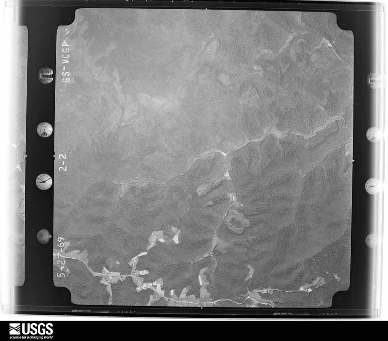
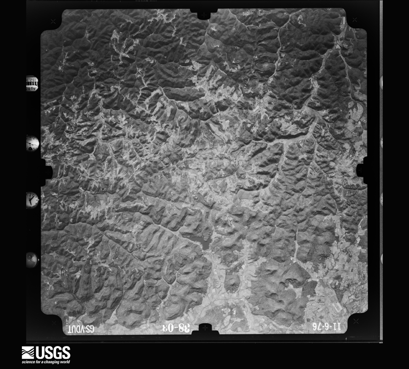
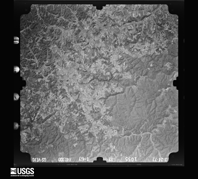
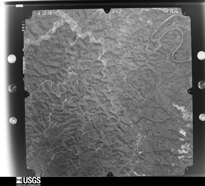
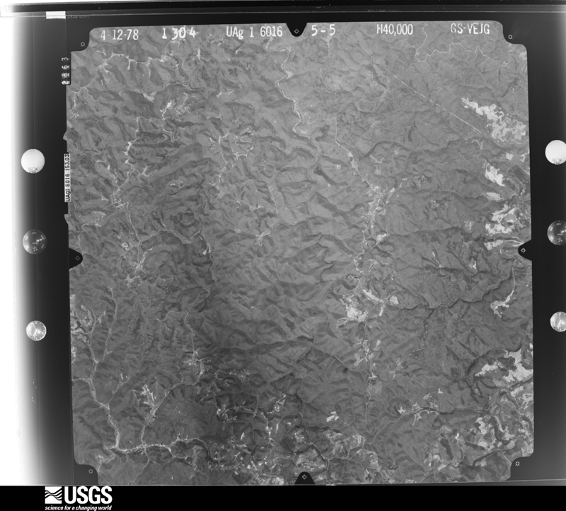
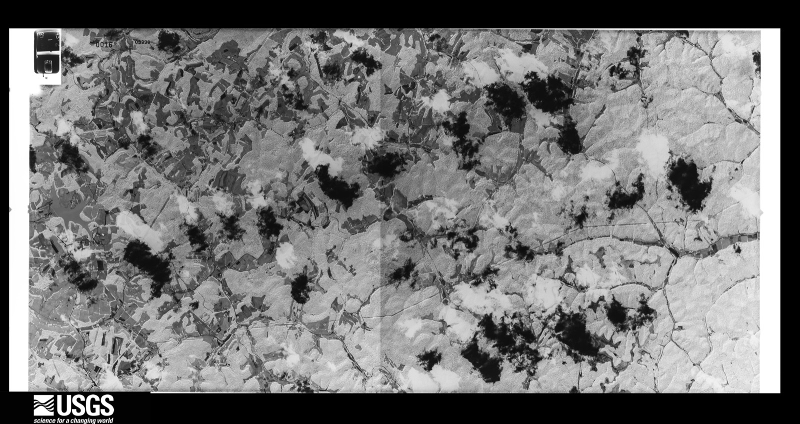
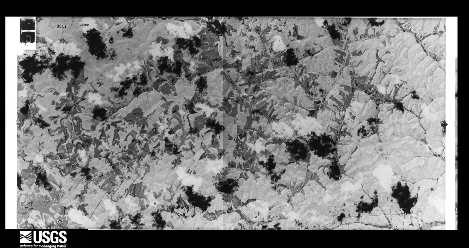
Flown by the U.S. Geological Survey between 1937 and 1989, the Aerial Photo Single Frames collection is the definitive mid-century view of the land: fields, roads and rivers as the camera saw them. The Survey holds 450 frames inside the rectangle that bounds this county; the 28 frames below were taken over the county itself, chosen across the decades of flights (at most four a year from that rectangle), so one flight cannot crowd out the rest. The full set is free to browse and download at EarthExplorer under the dataset Aerial Photo Single Frames.
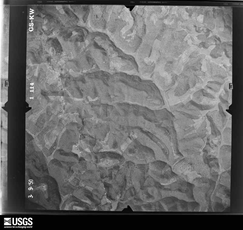
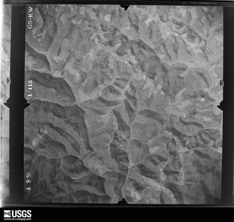

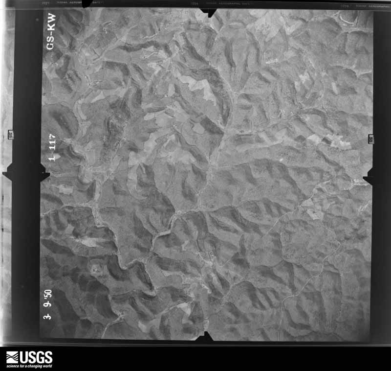
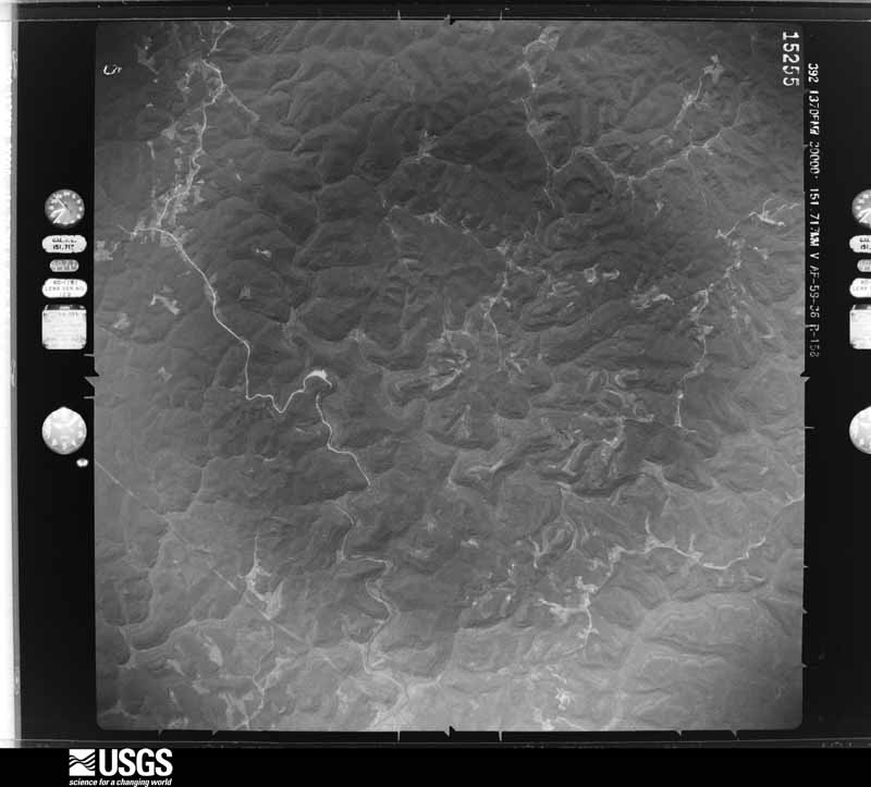

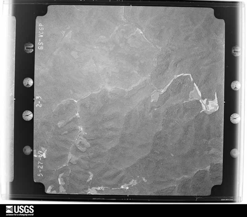
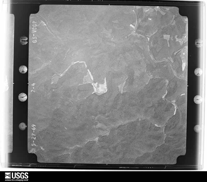

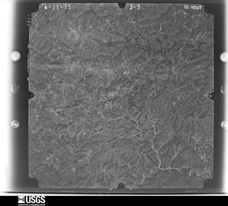

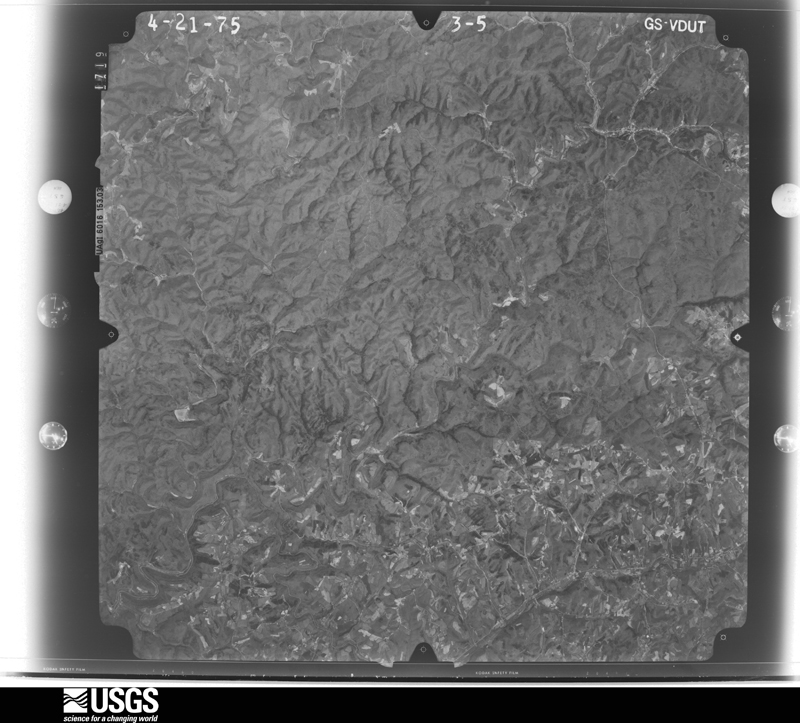






The thermometers that kept this county's weather, as the federal records hold them. The extremes below are measured values from those records, not estimates.
Who lived here in 1950, one enumeration district at a time, as the Census Bureau described each district. Each row opens its official National Archives result, with Population Schedules and ED Maps available there.
Every wildfire the federal occurrence database records inside this county: 770 of them, burning about 15,303 acres. 4 started naturally and 296 were recorded as arson. Each settlement page carries the fires within five miles of it.
| Reported cause | Fires |
|---|---|
| Arson/incendiarism | 296 |
| Debris and open burning | 237 |
| Missing data/not specified/undetermined | 151 |
| Recreation and ceremony | 72 |
| Natural | 4 |
| Equipment and vehicle use | 3 |
| Misuse of fire by a minor | 2 |
| Smoking | 2 |
| Power generation/transmission/distribution | 2 |
| Railroad operations and maintenance | 1 |
The five largest, by the area the report gives. 7 of them were set deliberately.
| Date | Cause | Size | Reported by | Name on the report |
|---|---|---|---|---|
| 21 March 2007 | Arson/incendiarism | 855 acres | Daniel Boone National Forest | KEENER |
| 3 April 2013 | Arson/incendiarism | 715 acres | Daniel Boone National Forest | WIND CAVE |
| 27 April 2001 | Arson/incendiarism | 549 acres | Daniel Boone National Forest | KEENER POINT |
| 17 November 2001 | Arson/incendiarism | 306 acres | Daniel Boone National Forest | LAUREL BRANCH III |
| 24 March 2009 | Arson/incendiarism | 250 acres | Daniel Boone National Forest | LAKES CREEK |
| 19 April 2002 | Debris and open burning | 250 acres | Kentucky Division of Forestry | not named |
| 31 October 2000 | Arson/incendiarism | 204 acres | Kentucky Division of Forestry | not named |
| 9 November 2001 | Arson/incendiarism | 197 acres | Daniel Boone National Forest | PRETTY HOUSE |
Every settlement page carries the fires within five miles of it - see the settlement index below.
The NOAA Storm Events Database holds 309 reports for this county, causing no deaths, 3 injuries and about $1,212,300 in recorded property damage. Each settlement page carries the reports that name it.
| Kind of event | Reports |
|---|---|
| Thunderstorm Wind | 171 |
| Hail | 73 |
| Flash Flood | 33 |
| Flood | 23 |
| Heavy Rain | 7 |
| Tornado | 2 |
The most serious of them, by death, then injury, then recorded damage. The accounts are quoted exactly as the forecast office filed them.
| When | Event | Place named | Harm | What the report says |
|---|---|---|---|---|
| April 1996 | Thunderstorm Wind | Mc Kee | 2 hurt, $5,000 | no account filed |
| July 2000 | Tornado (F1) | Annville | 1 hurt, $500,000 | Many structures received damage in the town of Annville. Four homes were destroyed and termed totaled. The tornado blew a tied down mobile home off its foundation then down a hill. A 38 year old female that was inside received serious injuries, the family pet was killed. Several other mobile homes were moved off their foundations 2 to 3 feet and one lost the roof. Several bricked and framed homes received moderate roof damage and two homes had their garages blown away. The green roof cafe received serious damage as 13 customers and employees took refuge in the bathrooms. Numerous trees were also uprooted in the path. Approximately 85 percent of all occupants impacted by the storm were insured. |
| August 2003 | Flash Flood | Mc Kee | $150,000 | People were evacuated at a motel and two trailers were moved off of their foundations due to high water in McKee. Four bridges were damaged and numerous automobiles were swept away. One car was washed down a creek, behind the Jackson County Courthouse. One family fled their home up to an embankment as flood waters quickly overtook them. One family member commented "I never saw the water come up as fast in my life". Three feet of water covered roads in McKee and Gray Hawk. Trees were washed away near Pigeon Roost. |
| January 2008 | Thunderstorm Wind | Annville | $70,000 | Approximately 50 trees were blown down in District 2, or the southern portion of Jackson County. A roof was blown off a barn on Highway 2002. A tree was blown onto a house in Anville. All damage was caused by wind gusts estimated at 67 mph. |
| May 2020 | Flood | Deese | $35,000 | Low lying flooding occurred south and west of McKee, resulting in two water rescues as motorists became stranded in flood waters on and just off of Kentucky Highway 89. |
| February 2012 | Flash Flood | Sandgap | $30,000 | A temporary bridge and a portion of Jones Hollow Road were washed out in Sandgap. |
| April 2009 | Thunderstorm Wind | Alcorn | $30,000 | Two large trees were down on Hwy 89N. Trees and large limbs were also downed across the county on Hwys 1955, 30W, 577, and 578. |
| March 1997 | Hail | Gray Hawk | $30,000 | no account filed |
| June 2009 | Thunderstorm Wind | Shirley | $25,000 | Trees were down throughout the northern portion of the county. |
| July 2007 | Thunderstorm Wind | Mc Kee | $25,000 | Numerous trees down along Highway 421 between McKee and Gray Hawk. |
| May 2002 | Flash Flood | Countywide | $25,000 | Heavy rains caused numerous roads to flood across Jackson County. Some locations affected by the flooding included Peoples and Annville. Four miles west of Annville, a low water bridge was washed out by flood waters. |
| February 2021 | Flash Flood | Morrill | $15,000 | It was reported that water was over the junction of Hwy 421 and Hwy 3447 near the community of Morrill, and that a piece of the road was about to wash away as a result. |
| April 2020 | Thunderstorm Wind | Bradshaw | $15,000 | Emergency Management reported numerous trees blown down in between McKee and Gray Hawk. Near Gray Hawk, an outbuilding on Kelley Road had its roof blown off while a nearby home had shingles blown off. Additionally, an outbuilding was blown onto a vehicle in Gray Hawk. |
| February 2021 | Flood | Clover Bottom | $10,000 | The flooding of low lying areas continues in the community of Clover Bottom. Water is rising, having gone up a few feet in the last 2 hours. There is now at least 1 to 2 feet over a roadway in the community (roadway unspecified). |
| September 2020 | Flash Flood | Tyner | $10,000 | Swift water of over 6 inches was reported flowing across portions of Hwy 421, Hwy 3630, and Creech Hollow Road, making them impassible. Videos of flooding were posted on social media. |
| June 2020 | Thunderstorm Wind | Eglon | $10,000 | An amateur radio operator northwest of Loam reported a tree downed on a house on Red Spivey Road. Minor roof, window, and siding damage were all sustained. |
| August 2010 | Thunderstorm Wind | Mc Kee | $10,000 | Numerous trees were blown down on Hwy 30 and Cornelius Rd. |
| July 2008 | Thunderstorm Wind | Sandgap | $10,000 | Trees were blown down and onto cars. |
| January 2008 | Thunderstorm Wind | Clover Bottom | $10,000 | A barn was destroyed along Highway 1955 by wind gusts estimated at 61 mph. |
| April 1998 | Flash Flood | Annville | $10,000 | Roads were flooded. |
| March 1997 | Hail | Mc Kee | $10,000 | no account filed |
| June 2020 | Thunderstorm Wind | Waneta | $8,000 | A citizen observed a tree blown onto a vehicle near Waneta. |
| July 2008 | Thunderstorm Wind | Sandgap | $8,000 | Several trees were blown down by thundestorm wind gusts in the Sandgap and Waneta area. |
| July 2008 | Thunderstorm Wind | Maulden | $7,000 | Several trees were blown down about 2 miles off the Owsley county line. |
| August 2006 | Thunderstorm Wind | Morrill | $6,000 | One tree down on car. |
| May 2025 | Thunderstorm Wind | Wind Cave | $5,000 | Jackson County dispatch reported at least a dozen instances of trees blown down around the county, including along Wind Cave Road, KY-89, and Ledger Fork Road. Some of the trees also took down power lines. |
| July 2021 | Flash Flood | Clover Bottom | $5,000 | Water was reported over the road on Cave Springs Road, washing out the pavement and at least one culvert. Water also entered into the residential garage of the cooperative observer who lives on this road. |
| September 2020 | Flood | Mildred | $5,000 | Water was reported over Mac Stevens Road making it impassable. After the water resided, a section of the asphalt had been washed away on the road. |
| May 2011 | Thunderstorm Wind | Moores Creek | $5,000 | Trees were blown down along KY Hwy 577 in Moores Creek. |
| June 2011 | Thunderstorm Wind | Mc Kee | $5,000 | A sign was blown off of a Save a Lot building. |
| July 2009 | Thunderstorm Wind | Gray Hawk | $5,000 | Trees were blown down on Highway 290. |
| July 2009 | Hail | Gray Hawk | $5,000 | Quarter size hail fell and trees were blown down on Highway 587. Some hail was still laying around in piles around dawn. |
| March 2008 | Thunderstorm Wind | Mc Kee | $5,000 | One tree was blown down onto a power line, causing a power outage in McKee. |
| July 2007 | Thunderstorm Wind | Gray Hawk | $5,000 | Trees down at Route 421 and Soaptown Road blocking lanes. |
| January 1999 | Thunderstorm Wind | Gray Hawk | $5,000 | Small buildings blown over. Windows blown out. |
| August 1999 | Thunderstorm Wind | Sandgap | $5,000 | Several trees and power lines were blown down. A barn was also damaged. |
| March 1993 | Hail | not stated | $5,000 | Trees and power lines were blown down over the southern end of the county. Quarter-size hail was reported 6 miles south of McKee. |
| March 1993 | Thunderstorm Wind | not stated | $5,000 | Trees and power lines were blown down over the southern end of the county. Quarter-size hail was reported 6 miles south of McKee. |
| May 1993 | Thunderstorm Wind | not stated | $5,000 | Trees were blown down across the county. |
| September 2020 | Flood | Tyner | $4,000 | The junction of KY-421 and KY-3630 was closed due to high water in the town of Tyner. Local dispatch also reported that traffic was backed up for a quarter of a mile because of the closure. |
| June 2008 | Thunderstorm Wind | Annville | $4,000 | One large tree and several large branches were blown down by thunderstorm wind gusts at the Annville Institute. |
| April 2006 | Thunderstorm Wind | Sandgap | $4,000 | Barn blown into road. |
| August 2006 | Thunderstorm Wind | Morrill | $4,000 | Trees and power lines down. |
| March 2012 | Thunderstorm Wind | Privett | $3,000 | A few trees were blown down 1 mile northeast of Privett. |
| May 2011 | Thunderstorm Wind | New Zion | $3,000 | The county dispatch office reported trees down along KY Hwy 587 two miles south of New Zion. |
| April 2011 | Thunderstorm Wind | Annville | $3,000 | A few trees were blown down in Annville. |
| April 2011 | Thunderstorm Wind | Mc Kee | $3,000 | There was roof damage to a home on Jackson County High School road. |
| June 1997 | Thunderstorm Wind | Mc Kee | $3,000 | Power lines were downed at the water plant. |
| February 1997 | Thunderstorm Wind | Gray Hawk | $3,000 | no account filed |
| August 2024 | Thunderstorm Wind | Arvel | $2,000 | Jackson county dispatch reported 2 power lines blown down near the intersection of KY-1209 and KY-587 in the community of Arvel. |
| September 2020 | Flood | Egypt | $2,000 | Water was reported over KY-421 near Egypt Penecostal Church. |
| September 2020 | Flood | Herd | $2,000 | Water was reported over KY-30 near Hicks Branch Road. |
| September 2020 | Flood | Mildred | $2,000 | Water was reported over Dunigam Road near the community of Tyner as water from an adjacent creek overflowed its banks. |
| September 2020 | Flood | Annville | $2,000 | Water was reported over Roark Road near the community of Annville. |
| July 2012 | Thunderstorm Wind | Sandgap | $2,000 | The roof was blown off an outbuilding at Sand Gap. |
| September 2011 | Thunderstorm Wind | Morrill | $2,000 | Tree limbs were blown down and across Hwy 421 in Morrill. |
| April 2011 | Thunderstorm Wind | Mc Kee | $2,000 | There were 2 trees down blocking a road. |
| August 2011 | Thunderstorm Wind | Annville | $2,000 | Two trees were blown down in Annville. The first one was blocking Ward Rd, and the other downed tree was reported on Pond Lick Rd. |
| May 2009 | Thunderstorm Wind | Mc Kee | $2,000 | Dispatch reported a tree down across a power line on Hwy 89S and another tree down on Hwy 587. |
| October 2009 | Thunderstorm Wind | Welchburg | $2,000 | Two trees were blown down on Highway 421 at Welchburg. |
The Survey's mineral resources record lists 4 workings inside this county. 2 still produce and 2 are closed or unrecorded. Each settlement page carries the workings within five miles of it.
| Commodity | Workings |
|---|---|
| Stone, Crushed/Broken | 2 |
| Lead | 1 |
| Platinum, Zinc | 1 |
| Zinc | 1 |
| Lead, Platinum, Silver | 1 |
The least common of them first, because a county's hundredth gravel pit says nothing its first ten did not.
| Where | Site | Commodity | Status | Recorded |
|---|---|---|---|---|
| J.W.Miller Prospect | Zinc, Lead, Platinum, Silver | Prospect | ||
| Rose Prospect | Lead, Platinum, Zinc | Prospect | ||
| Clover Bottom Underground | Stone, Crushed/Broken | Producer | ||
| Indian Creek Mine | Stone, Crushed/Broken | Producer |
Named settlements recorded in the Geographic Names Information System, each with the topographic sheets covering it. Villages, hamlets and abandoned places alike. Each is shown with the nearest named watercourse or landform and the survey quadrangle it falls on.
Annville census division · 40447 · On Robinson Creek · Parrot quadrangle
14 sheets, 1893 to 1982
No longer a settlement
McKee census division · 40447 · On Rolling Fork · McKee quadrangle
13 sheets, 1891 to 1977
Sandgap census division · 40447 · Near Croley Mountain · Bighill quadrangle
16 sheets, 1892 to 1991
No longer a settlement
Sandgap census division · 40447 · On Clover Bottom Creek · Sandgap quadrangle
14 sheets, 1893 to 1982
No longer a settlement
Sandgap census division · 40447 · Near Bighill Mountain · Bighill quadrangle
16 sheets, 1892 to 1991
No longer a settlement
Sandgap census division · 40447 · On Blanton Flats · Alcorn quadrangle
15 sheets, 1892 to 1991
Annville census division · 40447 · On Devils Den Branch · Tyner quadrangle
13 sheets, 1891 to 1977
No longer a settlement
Annville census division · 40402 · Tyner quadrangle
13 sheets, 1891 to 1977
No longer a settlement
Sandgap census division · 40447 · Near Sinking Valley · Alcorn quadrangle
15 sheets, 1892 to 1991
No longer a settlement
Sandgap census division · 40447 · On Long Branch · Johnetta quadrangle
15 sheets, 1893 to 1982
Annville census division · 40402 · On Pond Lick Branch · Parrot quadrangle
14 sheets, 1893 to 1982
Annville census division · 40447 · On Seals Branch · Parrot quadrangle
14 sheets, 1893 to 1982
Sandgap census division · 40447 · On Raccoon Creek · Parrot quadrangle
14 sheets, 1893 to 1982
Annville census division · 40402 · On Baldwin Branch · Tyner quadrangle
13 sheets, 1891 to 1977
McKee census division · 40447 · Near Blanton Flats · Leighton quadrangle
13 sheets, 1892 to 1982
Sandgap census division · 40447 · On Dry Branch · Johnetta quadrangle
15 sheets, 1893 to 1982
No longer a settlement
Sandgap census division · 40447 · On Dry Branch · Johnetta quadrangle
15 sheets, 1893 to 1982
No longer a settlement
Sandgap census division · 40447 · On Durham Ridge · Alcorn quadrangle
15 sheets, 1892 to 1991
No longer a settlement
Annville census division · 40447 · On Laurel Branch · Parrot quadrangle
14 sheets, 1893 to 1982
Sandgap census division · 40447 · On Rock Lick Branch · Johnetta quadrangle
15 sheets, 1893 to 1982
Annville census division · 40486 · On Wolf Pen Creek · Sturgeon quadrangle
14 sheets, 1891 to 1977
McKee census division · 40447 · Near Abner Hollow · Leighton quadrangle
13 sheets, 1892 to 1982
No longer a settlement
Annville census division · 40447 · On Toms Branch · Parrot quadrangle
14 sheets, 1893 to 1982
No longer a settlement
McKee census division · 40447 · On Sand Spring Branch · Leighton quadrangle
13 sheets, 1892 to 1982
McKee census division · 40447 · On Rolling Fork · McKee quadrangle
13 sheets, 1891 to 1977
Annville census division · 40402 · On Dry Fork · Tyner quadrangle
13 sheets, 1891 to 1977
McKee census division · 40486 · On Wolf Pen Creek · Sturgeon quadrangle
14 sheets, 1891 to 1977
No longer a settlement
Annville census division · 40402 · Near Stringtown Hollow · Tyner quadrangle
13 sheets, 1891 to 1977
McKee census division · 40447 · On Jacks Branch · McKee quadrangle
13 sheets, 1891 to 1977
No longer a settlement
Sandgap census division · 40447 · Near Bighill Mountain · Bighill quadrangle
16 sheets, 1892 to 1991
No longer a settlement
McKee census division · 40447 · On Old Field Branch · Sandgap quadrangle
14 sheets, 1893 to 1982
Sandgap census division · 40447 · Near Sinking Valley · Alcorn quadrangle
15 sheets, 1892 to 1991
No longer a settlement
Sandgap census division · 40447 · On Powell Branch · Alcorn quadrangle
15 sheets, 1892 to 1991
Sandgap census division · 40447 · On Raccoon Creek · Parrot quadrangle
14 sheets, 1893 to 1982
No longer a settlement
Annville census division · 40447 · On Laurel Branch · Parrot quadrangle
14 sheets, 1893 to 1982
No longer a settlement
Annville census division · 40402 · On Baldwin Branch · Tyner quadrangle
13 sheets, 1891 to 1977
No longer a settlement
Sandgap census division · 40447 · On Clover Bottom Creek · Johnetta quadrangle
15 sheets, 1893 to 1982
McKee census division · 40447 · Near Neil Hollow · McKee quadrangle
13 sheets, 1891 to 1977
Annville census division · 40486 · On Maulden Branch · Maulden quadrangle
13 sheets, 1891 to 1979
Annville census division · 40447 · On Grassy Branch · Tyner quadrangle
13 sheets, 1891 to 1977
Sandgap census division · 40447 · Near Bighill Mountain · Bighill quadrangle
16 sheets, 1892 to 1991
McKee census division · 40486 · On Blackwater Creek · Sturgeon quadrangle
14 sheets, 1891 to 1977
McKee census division · 40447 · On New Zion Ridge · McKee quadrangle
13 sheets, 1891 to 1977
McKee census division · 40486 · McKee quadrangle
13 sheets, 1891 to 1977
No longer a settlement
Annville census division · 40447 · On Middle Fork Rockcastle River · Parrot quadrangle
14 sheets, 1893 to 1982
No longer a settlement
Annville census division · 40447 · On Devils Den Branch · Tyner quadrangle
13 sheets, 1891 to 1977
Annville census division · 40447 · On Pond Creek · Parrot quadrangle
14 sheets, 1893 to 1982
Annville census division · 40402 · On Bee Branch · Parrot quadrangle
14 sheets, 1893 to 1982
No longer a settlement
Sandgap census division · 40447 · Near Garden Hollow · Johnetta quadrangle
15 sheets, 1893 to 1982
No longer a settlement
Sandgap census division · 40447 · Johnetta quadrangle
15 sheets, 1893 to 1982
No longer a settlement
Annville census division · 40402 · On Baldwin Branch · Tyner quadrangle
13 sheets, 1891 to 1977
McKee census division · 40447 · Near Cedar Point Ridge · Leighton quadrangle
13 sheets, 1892 to 1982
No longer a settlement
McKee census division · 40447 · Near Hurd Spring Ridge · Alcorn quadrangle
13 sheets, 1892 to 1982
Annville census division · 40447 · On Seals Branch · Parrot quadrangle
14 sheets, 1893 to 1982
No longer a settlement
Sandgap census division · 40447 · On Powell Branch · Alcorn quadrangle
15 sheets, 1892 to 1991
No longer a settlement
McKee census division · 40447 · On Rocky Branch · McKee quadrangle
13 sheets, 1891 to 1977
No longer a settlement
Annville census division · 40486 · On Clark Branch · Maulden quadrangle
13 sheets, 1891 to 1979
McKee census division · 40336 · On Cavanaugh Creek · Leighton quadrangle
13 sheets, 1892 to 1982
No longer a settlement
McKee census division · 40447 · Near Neil Hollow · McKee quadrangle
13 sheets, 1891 to 1977
No longer a settlement
Annville census division · 40402 · In Stringtown Hollow · Tyner quadrangle
13 sheets, 1891 to 1977
No longer a settlement
Sandgap census division · 40447 · On Limestone Branch · Johnetta quadrangle
15 sheets, 1893 to 1982
McKee census division · 40486 · On Travis Creek · Sturgeon quadrangle
14 sheets, 1891 to 1977
No longer a settlement
McKee census division · 40447 · On Hughes Fork · McKee quadrangle
13 sheets, 1891 to 1977
Annville census division · 40486 · On Grassy Branch · Tyner quadrangle
13 sheets, 1891 to 1977
Annville census division · 40486 · On Eds Lick · Maulden quadrangle
13 sheets, 1891 to 1979
No longer a settlement
McKee census division · 40447 · On Hooten Branch · Sandgap quadrangle
14 sheets, 1893 to 1982
No longer a settlement
McKee census division · 40447 · Near Congleton Hollow · Sandgap quadrangle
14 sheets, 1893 to 1982
Annville census division · 40402 · On Zekes Creek · Tyner quadrangle
13 sheets, 1891 to 1977
McKee census division · 40447 · On Wind Cave Branch · Leighton quadrangle
13 sheets, 1892 to 1982
Annville census division · 40486 · On Rocky Branch · Tyner quadrangle
13 sheets, 1891 to 1977
The vanished settlements of Jackson County: the places named above that are no longer on the map.