 Block
From the record
5 National Register listings published here, 1 of them a National Historic Landmark.
Sources: the National Register database, National Park Service
82 topographic sheets cover 38 settlements here, and 5 properties are on the National Register of Historic Places.
5 National Register listings published here, 1 of them a National Historic Landmark.
Sources: the National Register database, National Park Service
Taken for the Office of War Information and the Farm Security Administration, who photographed the country between 1935 and 1944. Works of United States government photographers, with no known restriction on use. Each opens its catalogue record.
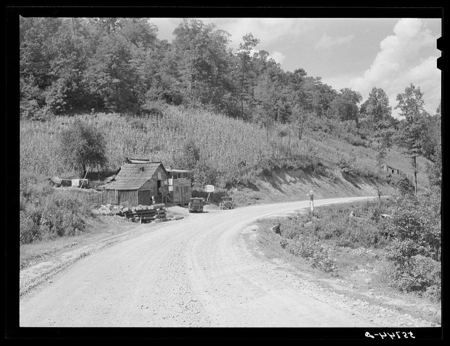
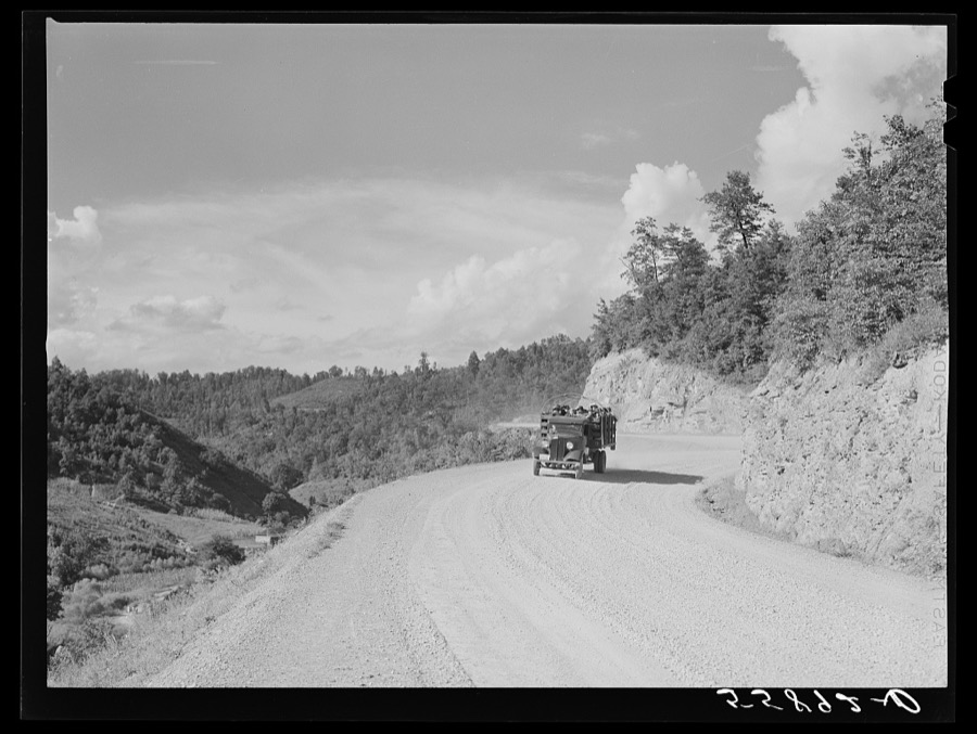
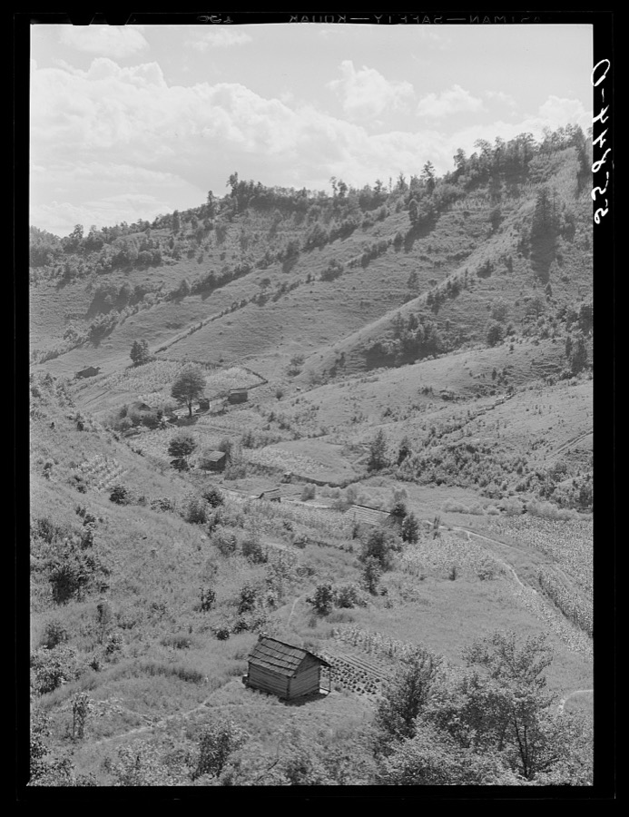
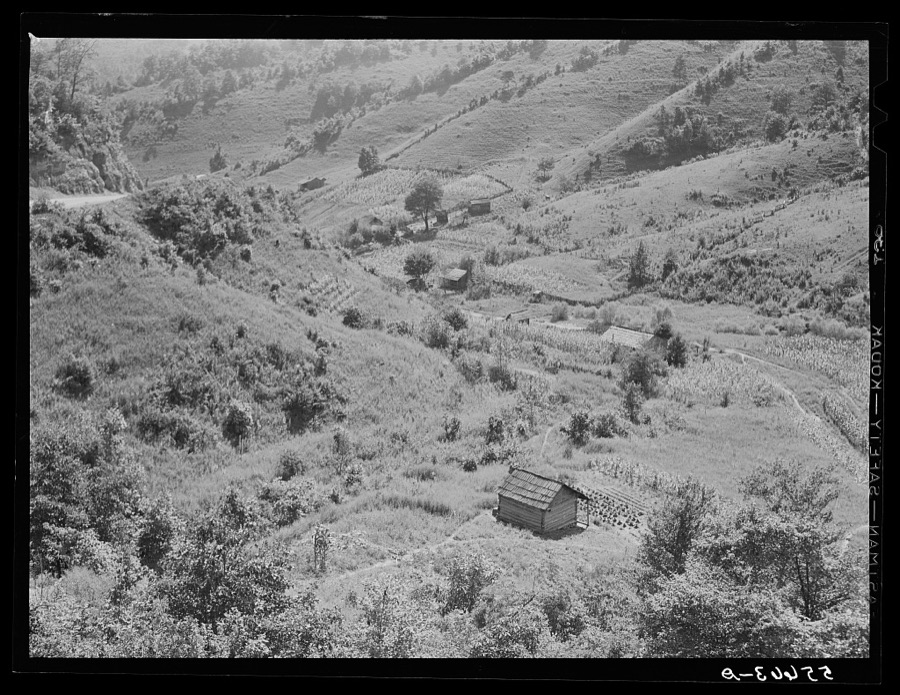
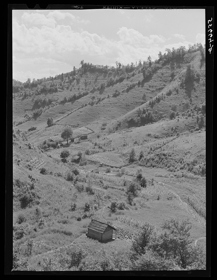
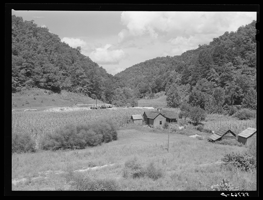

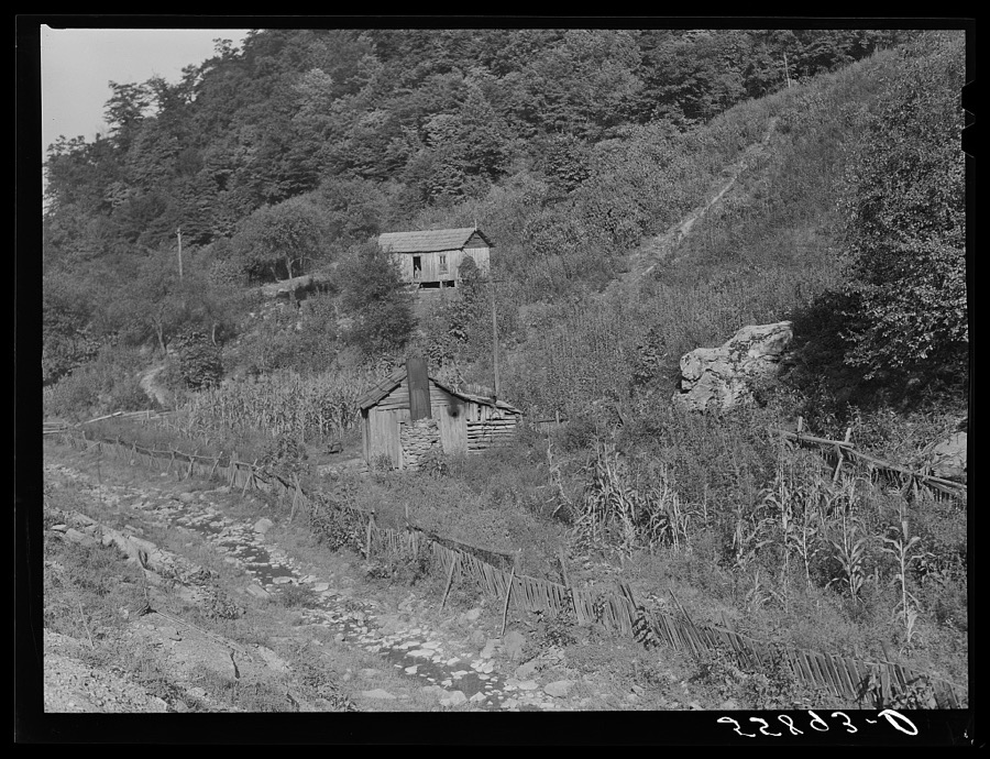
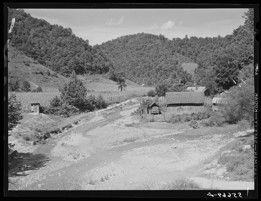

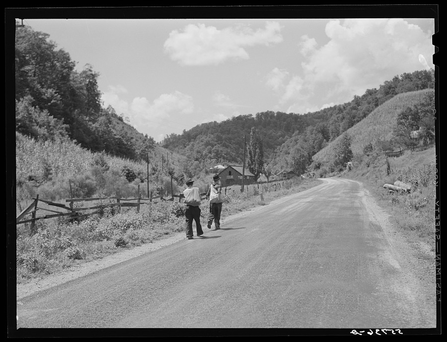
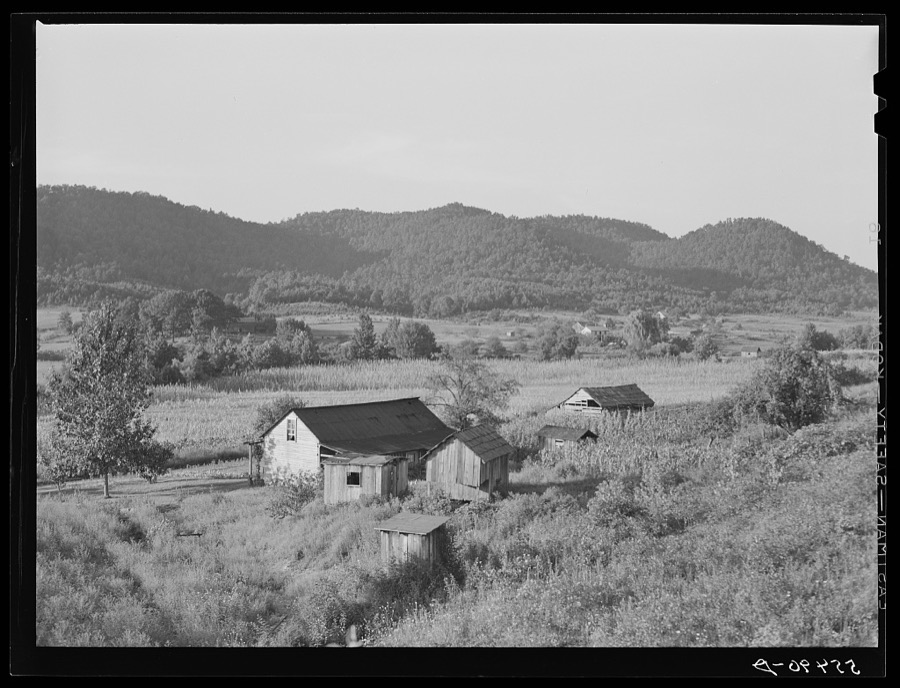
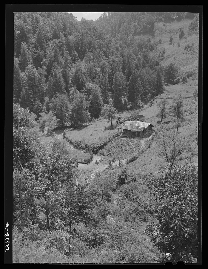

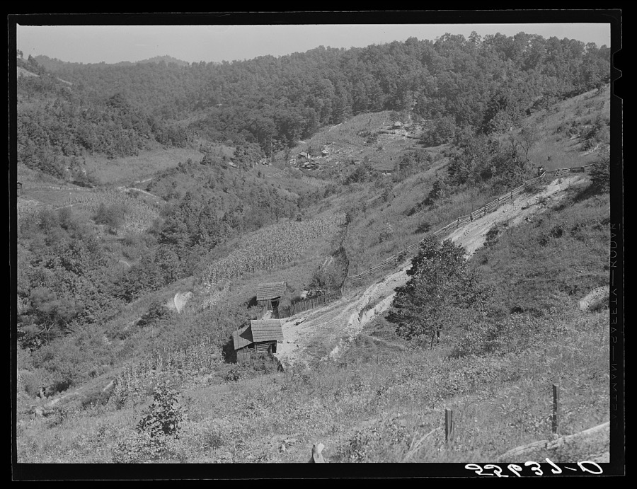
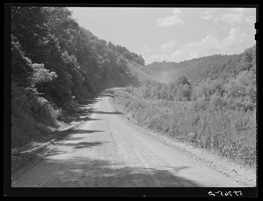
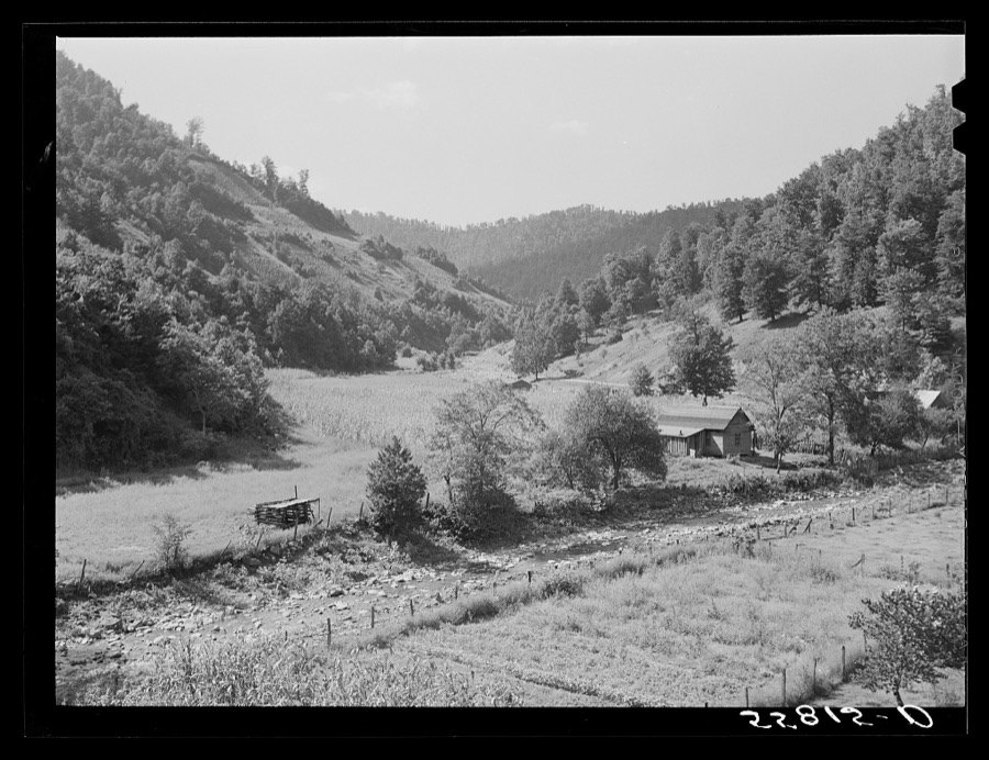
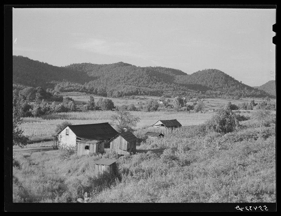
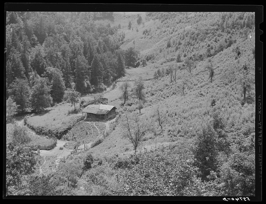
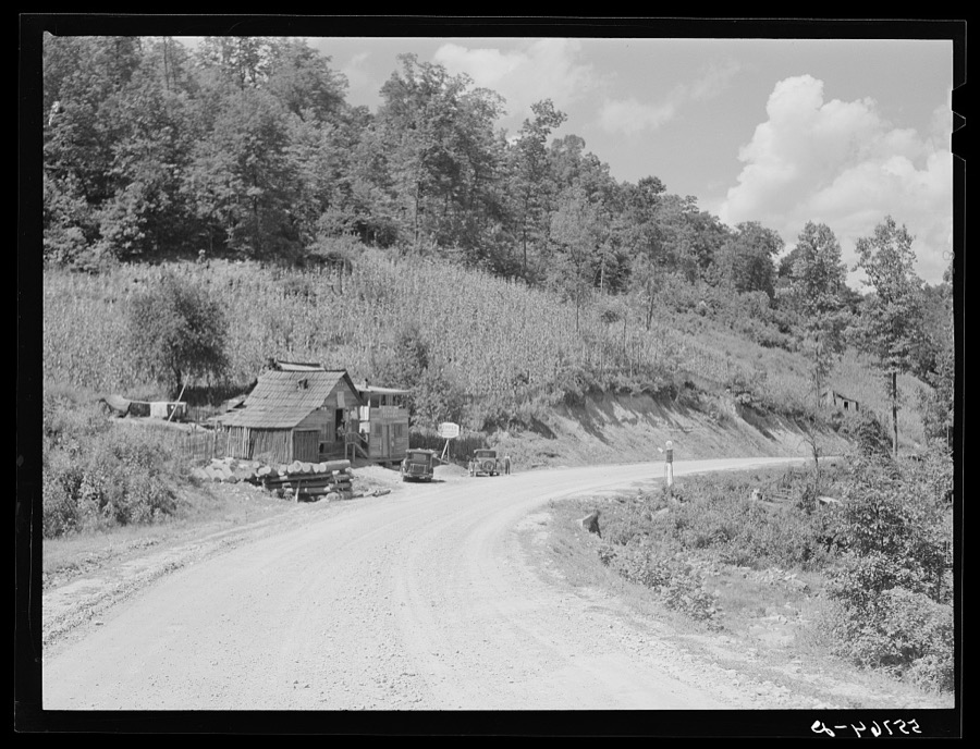
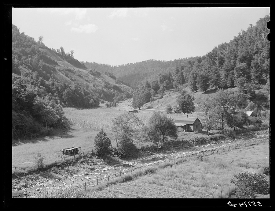
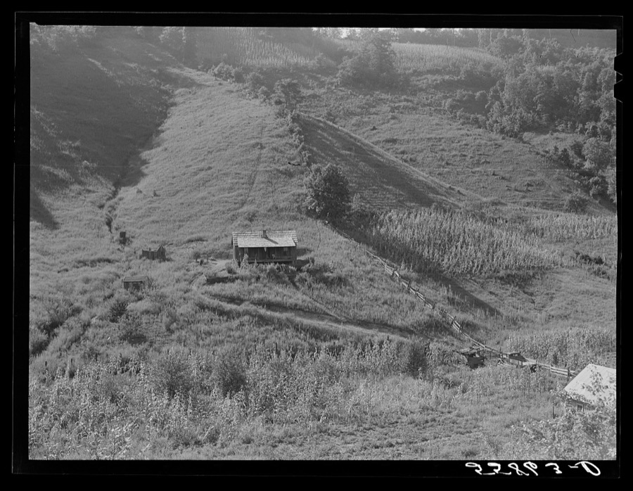
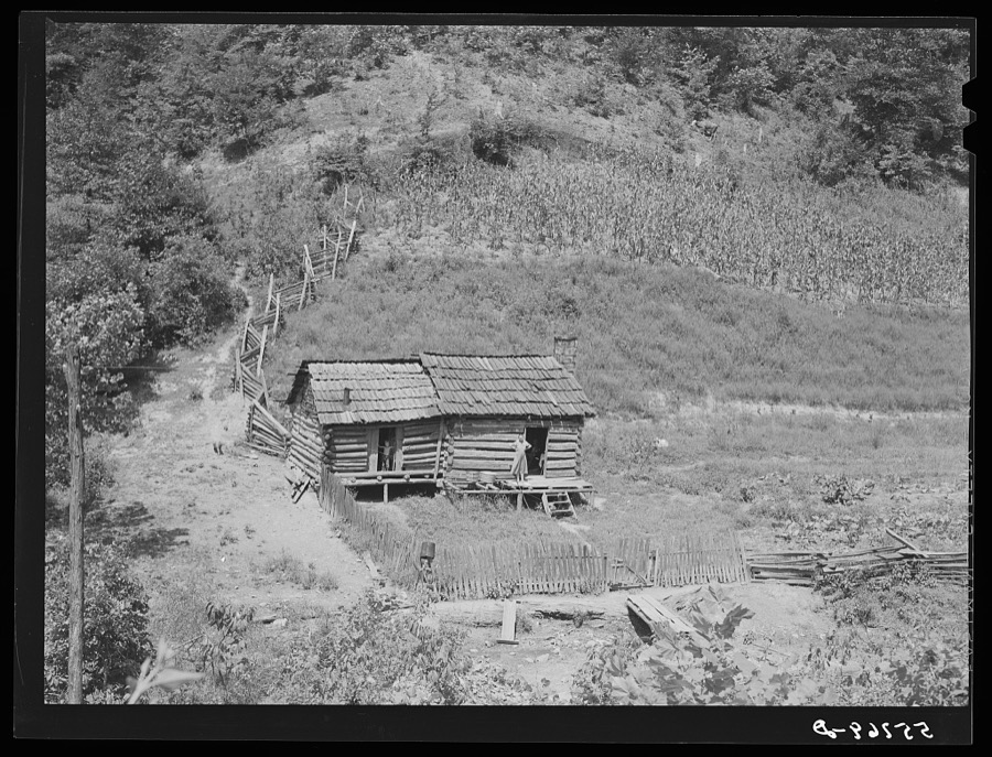
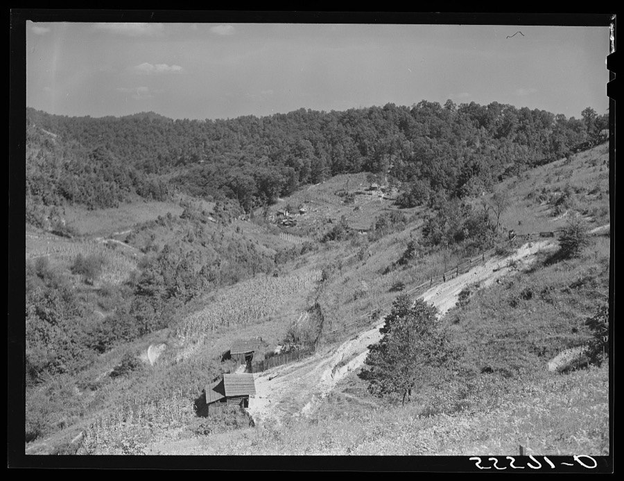
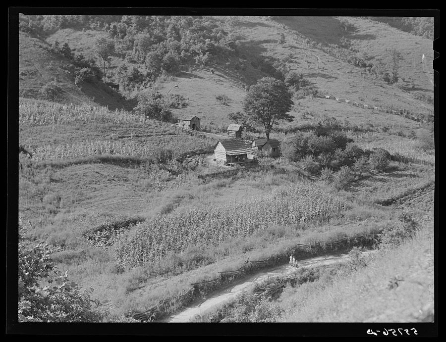
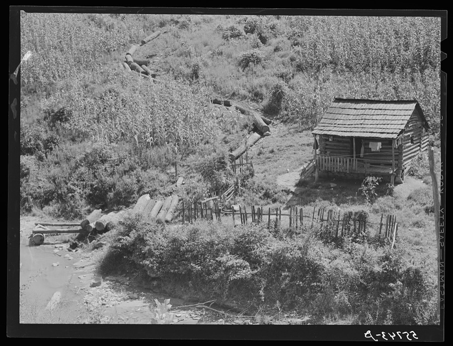



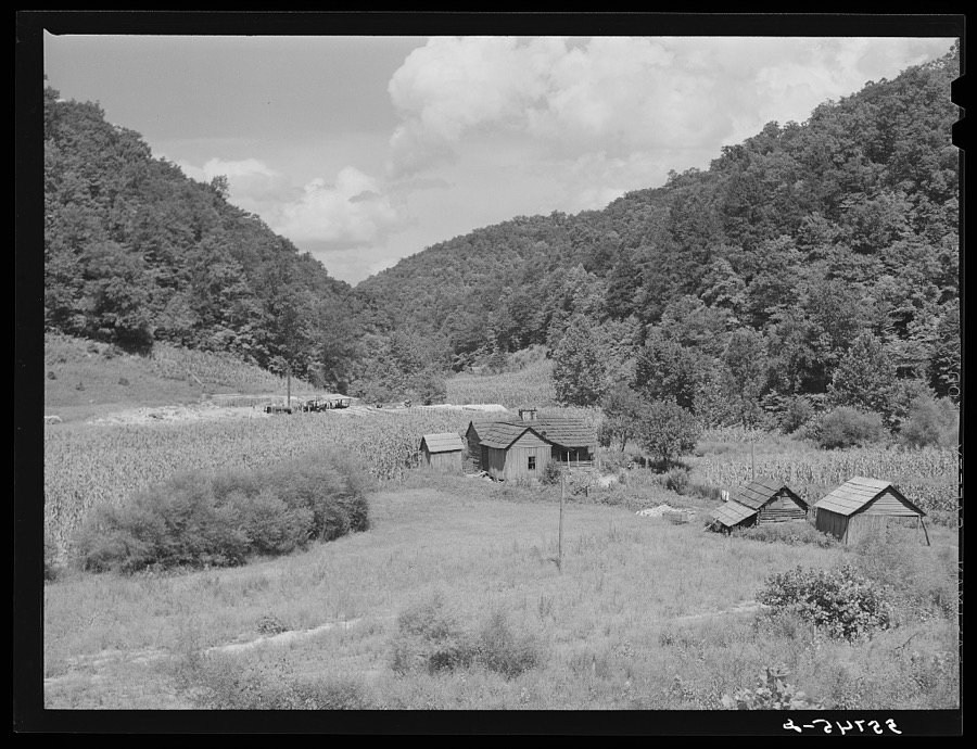
Every property in this county listed on the National Register of Historic Places, with the year it was listed and the federal nomination document.
| Photograph | Property | Type | Listed | Reference |
|---|---|---|---|---|
| Frontier Nursing Service | district | 1991 | 90002126 | |
 | Roderick McIntosh Farm | building | 1991 | 91001666 |
 | John Shell Cabin | building | 1975 | 75000791 |
 | Wendover | building | 1975 | 75000792 |
 | Wooton Presbyterian Center | building | 1979 | 79001019 |
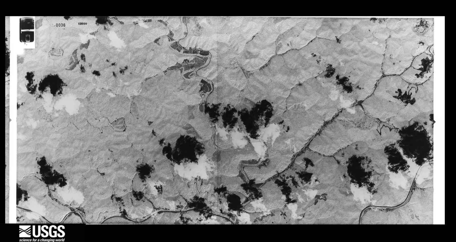
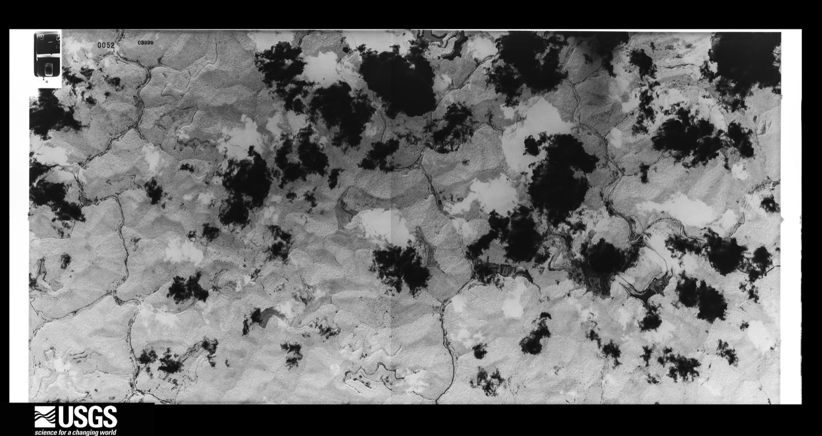
Flown by the U.S. Geological Survey between 1937 and 1989, the Aerial Photo Single Frames collection is the definitive mid-century view of the land: fields, roads and rivers as the camera saw them. The Survey holds 816 frames inside the rectangle that bounds this county; the 39 frames below were taken over the county itself, chosen across the decades of flights (at most four a year from that rectangle), so one flight cannot crowd out the rest. The full set is free to browse and download at EarthExplorer under the dataset Aerial Photo Single Frames.








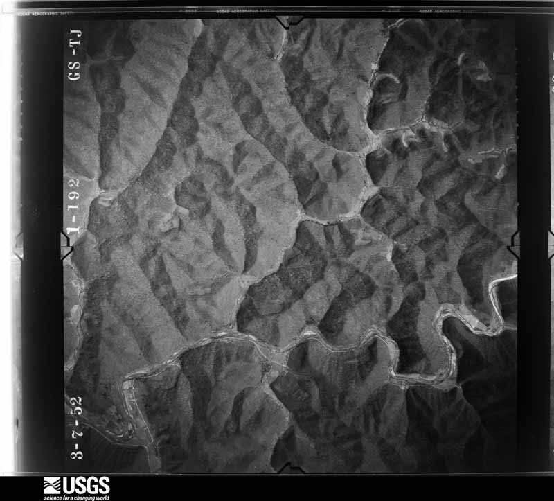
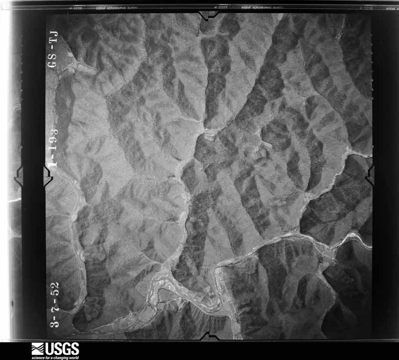
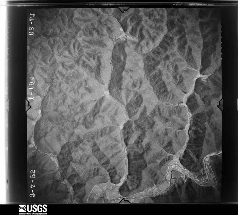
























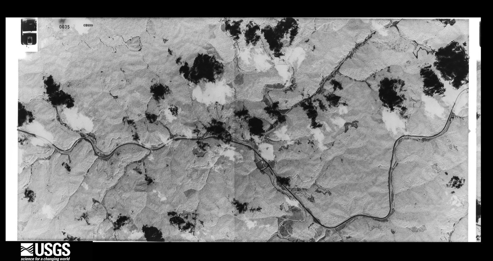

The thermometers that kept this county's weather, and the gages that measured the flow of its streams, as the federal records hold them. The extremes below are measured values from those records, not estimates.
Who lived here in 1950, one enumeration district at a time, as the Census Bureau described each district. Each row opens its official National Archives result, with Population Schedules and ED Maps available there.
Every wildfire the federal occurrence database records inside this county: 849 of them, burning about 51,876 acres. 5 started naturally and 261 were recorded as arson. Each settlement page carries the fires within five miles of it.
| Reported cause | Fires |
|---|---|
| Debris and open burning | 307 |
| Arson/incendiarism | 261 |
| Missing data/not specified/undetermined | 210 |
| Recreation and ceremony | 51 |
| Natural | 5 |
| Railroad operations and maintenance | 4 |
| Misuse of fire by a minor | 3 |
| Equipment and vehicle use | 3 |
| Other causes | 2 |
| Power generation/transmission/distribution | 2 |
| Smoking | 1 |
The five largest, by the area the report gives. 6 of them were set deliberately.
| Date | Cause | Size | Reported by | Name on the report |
|---|---|---|---|---|
| 30 October 2000 | Misuse of fire by a minor | 2,850 acres | Kentucky Division of Forestry | not named |
| 30 October 2000 | Arson/incendiarism | 2,500 acres | Kentucky Division of Forestry | not named |
| 30 October 2000 | Arson/incendiarism | 2,000 acres | Daniel Boone National Forest | THOUSAND STICKS |
| 24 October 2001 | Arson/incendiarism | 1,500 acres | Kentucky Division of Forestry | not named |
| 2 November 2000 | Arson/incendiarism | 1,440 acres | Kentucky Division of Forestry | not named |
| 12 March 2007 | Arson/incendiarism | 1,300 acres | Daniel Boone National Forest | CHANDLER FIRE |
| 31 October 2000 | Arson/incendiarism | 1,175 acres | Daniel Boone National Forest | PHD |
| 29 September 2007 | Recreation and ceremony | 799 acres | Kentucky Division of Forestry | not named |
Every settlement page carries the fires within five miles of it - see the settlement index below.
The NOAA Storm Events Database holds 333 reports for this county, causing 2 deaths, no injuries and about $1,945,300 in recorded property damage. Each settlement page carries the reports that name it.
| Kind of event | Reports |
|---|---|
| Thunderstorm Wind | 165 |
| Hail | 85 |
| Flash Flood | 35 |
| Flood | 26 |
| Heavy Rain | 14 |
| Funnel Cloud | 4 |
| Tornado | 3 |
| Debris Flow | 1 |
The most serious of them, by death, then injury, then recorded damage. The accounts are quoted exactly as the forecast office filed them.
| When | Event | Place named | Harm | What the report says |
|---|---|---|---|---|
| February 2019 | Flood | Cinda | 2 killed, $15,000 | A local news media outlet reported that a motorist crashed into Wolf Creek off of Stidham Road south of Cinda. The driver's body was later found trapped inside the car. Additionally, a bystander also died as a result of the flooded creek after he jumped in to try to save the driver. The creek was 3 to 4 times higher than normal, contributing to the death of both men. |
| February 2020 | Flood | Dryhill | $225,000 | Local media reported significant flooding in Hyden, leading to a state of emergency declaration for the city. The city park was one of the areas under water. Several other locations around the county experienced significant road damage. |
| April 1998 | Flash Flood | Countywide | $180,000 | no account filed |
| April 1998 | Flash Flood | Countywide | $150,000 | no account filed |
| June 2009 | Thunderstorm Wind | Roark | $75,000 | Multiple trees were blown down in the Roark area with a tree on top of a mobile home. Dispatch also reported trees down county wide. |
| March 2008 | Thunderstorm Wind | Hyden | $75,000 | Highway depts were called to remove numerous trees and other debris from roadways countywide. The damage was caused by thunderstorm wind gusts. |
| February 2019 | Flood | Confluence | $70,000 | Local media reported flooding in the Confluence community, resulting from heavy rain and water backup from Buckhorn Lake's dam. Several homes were surrounded by flood waters, while Kentucky Highway 257 and other nearby roads were inundated for more than 2 weeks following the end of the heavier rainfall and more widespread flooding issues. |
| May 2024 | Thunderstorm Wind | Hyden | $60,000 | WYMT news reported from Leslie County about numerous trees and power lines that were downed along Owls Nest Road. one of these trees fell on a mobile home, destroying it. Thankfully no one was injured. |
| February 2019 | Heavy Rain | Big Rock | $55,000 | The Department of Highways reported Kentucky Highway 699 dropped 15 to 18 feet over a length of 140 feet at the mouth of Kentucky Highway 221 near the Perry County line. |
| February 2020 | Flood | Confluence | $50,000 | Local Emergency Management and media reported typical persistent high water in the town of Confluence due to high water levels as a result of water being held back by Buckhorn Lake. Impacts were seen to nearby homes as well as along Kentucky Highway 257. |
| June 2019 | Thunderstorm Wind | Wendover | $50,000 | Dispatch reported utility lines were blown down and onto U.S. Highway 421 near Wendover, resulting in a 3 car pileup. |
| June 2016 | Flash Flood | Helton | $50,000 | Local media relayed reports of significant flash flooding across southern sections of Leslie County near the Harlan and Bell County lines. Local residents sustained considerable property damage, including that to homes, fences, and yards. Small bridges along U.S. Highway 421 were washed away as creeks spilled over their banks. The Kentucky State Emergency Operations Center received requests for assistance and resources from county officials as written declarations were also composed. |
| January 2008 | Thunderstorm Wind | Hyden | $50,000 | One tree was blown down in Hyden. Multiple trees and power lines were blown down elsewhere throughout the county by wind gusts estimated at 67 mph. |
| June 2003 | Flash Flood | Countywide | $50,000 | Roads were flooded across the county. |
| March 2002 | Flash Flood | Stinnett | $50,000 | Heavy rains fell on March 17 and March 18 causing homes to be evacuated and several roads to be flooded. |
| May 2020 | Flash Flood | Confluence | $40,000 | Dispatch reported water flowing over Wilder Branch Road in Confluence, forcing the closure of the road for a period of time. This swiftly flowing water forced chunks of the roadway to break apart, while water impacted approximately 25 to 30 homes. |
| April 2011 | Thunderstorm Wind | Mozelle | $30,000 | A front porch was blown off a house. There were multiple trees down across the area. There was also a report of a utility pole blown down. |
| April 2011 | Thunderstorm Wind | Hyden | $30,000 | Numerous trees and power lines were blown down in the Hyden area. There were sporadic power outages also occurring in northern Leslie county. |
| March 2019 | Flood | Confluence | $25,000 | Local media, dispatch, and Emergency Management continued to report flooding issues in Confluence. Water inundation began back on February 21 as continued rounds of rainfall fell on saturated soils. Additionally, Buckhorn Lake rising to near record pool stage contributed to high water and flooding in Confluence as water was slowly discharged from Buckhorn Lake. Several homes and roads, including Kentucky Highway 257, were some of the entities that experienced inundation. |
| May 2011 | Thunderstorm Wind | Cutshin | $25,000 | Trees were blown down across the area. One tree fell onto a car and a house. Two homes sustained damage. |
| February 2011 | Thunderstorm Wind | Hyden | $25,000 | Numerous trees were blown down around the county. |
| May 2008 | Funnel Cloud | Wooton | $25,000 | A funnel cloud was observed passing over a house in Wooton and then touching down on Highway 1807 approximately 1 mile east of Wooton. Extensive tree and power line damage occurred along a 150 yard damage path. |
| May 2008 | Tornado (EF1) | Wooton | $25,000 | An EF-1 tornado with wind speeds of around 95 mph briefly touched down one mile southeast of Wooton. Large trees were either snapped off or blown over. One tree fell onto a power line. |
| June 1990 | Tornado (F0) | not stated | $25,000 | no account filed |
| July 2016 | Flash Flood | Bear Branch | $20,000 | Broadcast media relayed reports of swiftly flowing water across U.S. Highway 421 near Big Creek and Bear Branch. A few homes and a church in the Big Creek area were also being threatened by these flood waters. |
| June 2009 | Thunderstorm Wind | Smilax | $20,000 | Large trees and power lines were blown down. Phone line damage also occurred. |
| April 2008 | Thunderstorm Wind | Sizerock | $20,000 | Powerlines were blown down in the Hell For Certain area. |
| July 2004 | Thunderstorm Wind | Hyden | $20,000 | A roof was blown off of a porch on Middle Fork Road. A tree was also blown onto a house on Highway 421, and trees were blown down in the Wooten area. |
| February 2021 | Flood | Bear Branch | $15,000 | A public report was posted via local broadcast media's social media. The picture showed flood waters up to the steps of a home in the Bear Branch community. |
| February 2019 | Heavy Rain | Rockhouse | $15,000 | The Department of Highways relayed reports of U.S. Highway 421 being blocked on the 24th, due to downed trees and power lines, resulting from previous heavy rainfall. |
| August 2009 | Flash Flood | Stinnett | $15,000 | Highway 421 was reported to have been washed away near the intersection with Highway 406. A driver who was not aware that the road was washed drove his car into the flood waters at this location and had to take refuge in a tree after his car became flooded. |
| May 2002 | Hail | Stinnett | $15,000 | Hail created dents on a few vehicles. |
| November 1996 | Flash Flood | Cutshin | $15,000 | no account filed |
| September 2024 | Thunderstorm Wind | Saylor | $10,500 | An emergency manager reported multiple trees and powerlines blown down in the Saylor and Spruce Pine communities or in the general vicinity of the intersection of KY-1780 and KY-2058. |
| May 2025 | Thunderstorm Wind | Hyden | $10,000 | Leslie County received at least ten reports of trees down with power outages throughout the county, impacting major thoroughfares, including US-421 and KY-80. Multiple storms moved through from approximately 1:30pm until 2:50pm EDT leading to the tree and powerline damage. |
| February 2020 | Heavy Rain | Yale | $10,000 | A local newspaper snapped a photo of a mudslide on U.S. Highway 421 near Bledsoe near the Harlan County line, forcing the closure of the road. |
| July 2016 | Flood | Big Fork | $10,000 | Broadcast media relayed reports of water approaching homes from flood water in Big Fork. |
| July 2012 | Thunderstorm Wind | Wendover | $10,000 | A tree fell on a garage on Wendover Rd. |
| March 2012 | Flash Flood | Helton | $10,000 | Flashing flooding was reported along Highways 1780 and 2058 with some structures being damaged by the flood water. Mudslides were also reported on highway 2058 and 421 from mile marker 0 near the Harlan County line north to about mile marker 10. |
| May 2009 | Thunderstorm Wind | Hyden | $10,000 | Thunderstorm wind gusts downed numerous power lines around the county; leaving around 3500 people without power. |
| June 2009 | Thunderstorm Wind | Cutshin | $10,000 | One tree was blown down in Cutshin, injuring one person. Other trees were also blown down in the area. |
| August 2009 | Flash Flood | Hoskinston | $10,000 | KY Highway 2009 was reported to be washed away and in another section flood water was reported to be over a bridge. |
| August 2009 | Flood | Rockhouse | $10,000 | High water was covering Highway 421 in southern Leslie county. Multiple mudslides were also reported with sections of the road having broken off. |
| June 2007 | Thunderstorm Wind | Thousandsticks | $10,000 | Trees down along parkway. |
| July 2003 | Thunderstorm Wind | Cutshin | $10,000 | Several trees were blown down and took down the power transformer serving customers in Cutshin Holler. |
| May 1998 | Hail | Hyden | $10,000 | no account filed |
| February 1997 | Thunderstorm Wind | Lewis Creek | $10,000 | no account filed |
| March 1997 | Hail | Thousandsticks | $10,000 | no account filed |
| July 2023 | Thunderstorm Wind | Rockhouse | $8,000 | A power pole was split by a fallen tree along US-421 near mile marker 26. |
| June 2009 | Thunderstorm Wind | Thousandsticks | $8,000 | Numerous tree limbs were blown down. Winds were estimated at 60 mph. A one hour rainfall total of 1.5 inches was also noted. |
| May 2008 | Hail | Hyden | $8,000 | Nickel size hail fell for one to two minutes. A wind gust estimated at 50 mph brought down several two to three inch diameter tree limbs and an eight inch diameter tree. |
| June 2007 | Thunderstorm Wind | Smilax | $8,000 | Numerous limbs down, some as large as four inches in diameter. |
| February 2009 | Thunderstorm Wind | Thousandsticks | $7,000 | Trees were uprooted and a roof was damaged on the Hal Rogers Parkway near mile marker 38. |
| June 2009 | Thunderstorm Wind | Hyden | $7,000 | Several trees were down across the county including in Hyden, Middlefork and Bull Creek. |
| June 2008 | Thunderstorm Wind | Hyden | $7,000 | A one foot diameter tree was blown down and onto a house. A 2 foot diameter tree was blown down and across Osborne Fork Road. Nickel size hail also occurred at this location. |
| April 2008 | Thunderstorm Wind | Thousandsticks | $7,000 | Numerous 1 to 2 inch diameter limbs were torm from trees. Vertical rotation and wall cloud also observed, but no funnel cloud was spotted. |
| May 2011 | Thunderstorm Wind | Yeaddiss | $6,000 | The Leslie county transportation director reported that 2 or 3 trees had been blown down on cars along KY 3427 near Wolfe Creek. |
| March 2012 | Hail | Smilax | $5,000 | Golf ball size hail severely damaged a pick up truck near Smilax. |
| May 2011 | Thunderstorm Wind | Yeaddiss | $5,000 | Trees were blown down along Hwy 699 near mile markers 10 and 11. |
| August 2011 | Thunderstorm Wind | Hyden | $5,000 | Power lines were blown down on Camp Creek Rd. A few trees were blown down elsewhere in the county. |
Named settlements recorded in the Geographic Names Information System, each with the topographic sheets covering it. Villages, hamlets and abandoned places alike. Each is shown with the nearest named watercourse or landform and the survey quadrangle it falls on.
Mozelle census division · 40858 · On Beech Fork · Hoskinston quadrangle
14 sheets, 1891 to 1980
Hyden census division · 41714 · On Bear Branch · Big Creek quadrangle
13 sheets, 1891 to 1979
Cutshin census division · 41777 · On Oldhouse Branch · Leatherwood quadrangle
13 sheets, 1891 to 1977
Cutshin census division · 41777 · On Low Gap Branch · Leatherwood quadrangle
13 sheets, 1891 to 1977
Hyden census division · 41714 · On Bobs Fork · Big Creek quadrangle
13 sheets, 1891 to 1979
Cutshin census division · 41777 · On Grassy Fork · Cutshin quadrangle
14 sheets, 1891 to 1980
Mozelle census division · 40808 · On Robin Branch · Cutshin quadrangle
14 sheets, 1891 to 1980
Hyden census division · 41749 · On Wilder Branch · Buckhorn quadrangle
14 sheets, 1891 to 1979
Cutshin census division · 41776 · On Maggard Branch · Cutshin quadrangle
14 sheets, 1891 to 1980
Cutshin census division · 41764 · On Bear Branch · Hazard South quadrangle
16 sheets, 1891 to 1992
Hyden census division · 41749 · On Bull Creek · Hyden West quadrangle
15 sheets, 1891 to 1980
Mozelle census division · 40868 · On Big Branch · Hoskinston quadrangle
14 sheets, 1891 to 1980
Cutshin census division · 41776 · On Polecat Branch · Hazard South quadrangle
16 sheets, 1891 to 1992
Hyden census division · 41723 · On Baker Fork · Hyden East quadrangle
14 sheets, 1891 to 1980
No longer a settlement
Mozelle census division · 40810 · On Simms Branch · Helton quadrangle
25 sheets, 1887 to 1977
Cutshin census division · 41776 · On Cane Branch · Hyden East quadrangle
14 sheets, 1891 to 1980
No longer a settlement
Mozelle census division · 40844 · On Stinnett Creek · Hoskinston quadrangle
14 sheets, 1891 to 1980
Hyden census division · 41749 · On Rockhouse Creek · Hyden East quadrangle
14 sheets, 1891 to 1980
Hyden census division · 41714 · On Johnson Branch · Hyden West quadrangle
15 sheets, 1891 to 1980
Hyden census division · 41749 · On Devils Jump Branch · Hyden West quadrangle
15 sheets, 1891 to 1980
Mozelle census division · 40808 · On Johns Branch · Bledsoe quadrangle
25 sheets, 1887 to 1980
Cutshin census division · 41776 · On MacIntosh Creek · Hyden East quadrangle
14 sheets, 1891 to 1980
No longer a settlement
Mozelle census division · 40858 · On Stone Coal Branch · Hoskinston quadrangle
14 sheets, 1891 to 1980
Mozelle census division · 40808 · On John Miniard Branch · Bledsoe quadrangle
25 sheets, 1887 to 1980
Mozelle census division · 40827 · On Dillion Branch · Creekville quadrangle
13 sheets, 1891 to 1979
Mozelle census division · 40840 · On Kentucky Branch · Helton quadrangle
25 sheets, 1887 to 1977
Hyden census division · 41762 · On Gibson Branch · Hyden West quadrangle
15 sheets, 1891 to 1980
Cutshin census division · 41764 · On Polls Creek · Hyden East quadrangle
14 sheets, 1891 to 1980
Mozelle census division · 40840 · On Dry Fork · Helton quadrangle
25 sheets, 1887 to 1977
Mozelle census division · 40868 · On Stinnett Creek · Hoskinston quadrangle
14 sheets, 1891 to 1980
Hyden census division · 41749 · On Thousandsticks Branch · Hyden West quadrangle
15 sheets, 1891 to 1980
Hyden census division · 41776 · On Brewer Branch · Hyden East quadrangle
14 sheets, 1891 to 1980
Mozelle census division · 40808 · Near Eastep Hollow · Bledsoe quadrangle
25 sheets, 1887 to 1980
No longer a settlement
Mozelle census division · 40874 · Near Buck Hollow · Helton quadrangle
25 sheets, 1887 to 1977
Hyden census division · 41749 · On Hurricane Creek · Hyden East quadrangle
14 sheets, 1891 to 1980
Cutshin census division · 41776 · On Preston Fork · Hyden East quadrangle
14 sheets, 1891 to 1980
Cutshin census division · 41777 · On Trace Fork · Leatherwood quadrangle
13 sheets, 1891 to 1977
The vanished settlements of Leslie County: the places named above that are no longer on the map.