 Block
From the record
5 National Register listings published here.
Sources: the National Register database, National Park Service
74 topographic sheets and 8 fire insurance atlases across 1 place.
5 National Register listings published here.
Sources: the National Register database, National Park Service
Taken for the Office of War Information and the Farm Security Administration, who photographed the country between 1935 and 1944. Works of United States government photographers, with no known restriction on use. Each opens its catalogue record.
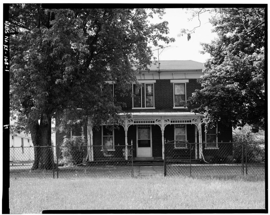
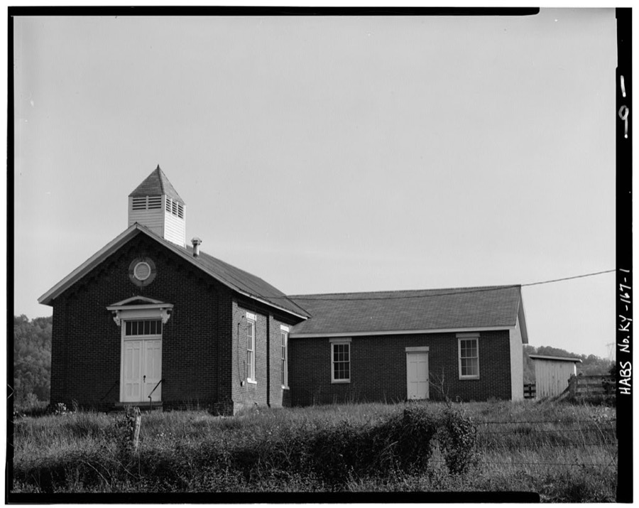
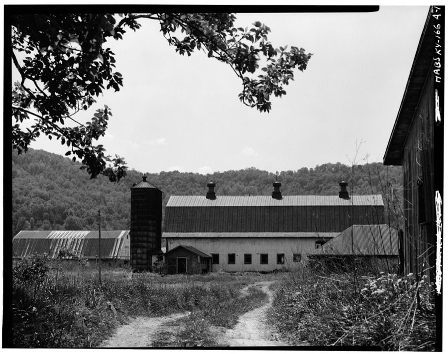
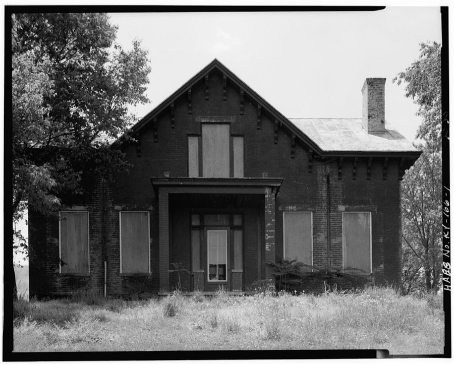
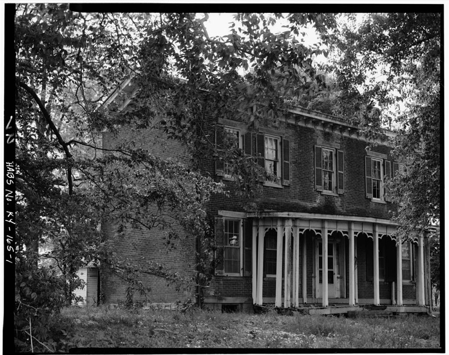
Every property in this county listed on the National Register of Historic Places, with the year it was listed and the federal nomination document.
| Photograph | Property | Type | Listed | Reference |
|---|---|---|---|---|
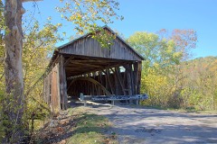 | Cabin Creek Covered Bridge | site | 1976 | 76000912 |
| Hammond-Queen House | building | 2014 | 14000424 | |
| Ohio River Lock and Dam No. 31 Grounds and Buildings | building | 1987 | 87000479 | |
| Stone Cellar on Cabin Creek | building | 1987 | 87000168 | |
| Union Monument in Vanceburg | object | 1997 | 97000683 |
Lewis County has 1 covered bridge on the National Register. Each is a listed structure with a federal nomination on file.
| Cabin Creek Covered Bridge | Listed 1976 |
Sampled issues, machine-read from the Library of Congress scan and published page by page, so every headline and column is searchable text.
Vanceburg, Ky., 187? to 1???. Machine-read from the Library of Congress scan.
Vanceburg, Ky., 1889 to 1910. Machine-read from the Library of Congress scan.
Vanceburg, Ky., 1910 to 1915. Machine-read from the Library of Congress scan.
Vanceburg, Ky., 1915 to 1917. Machine-read from the Library of Congress scan.
Vanceburg, Ky., 1917 to 1924. Machine-read from the Library of Congress scan.
Drawn when these were printed as single large sheets: the town seen from the air, and the county divided into its farms with every owner named. Each opens the original at the Library of Congress.

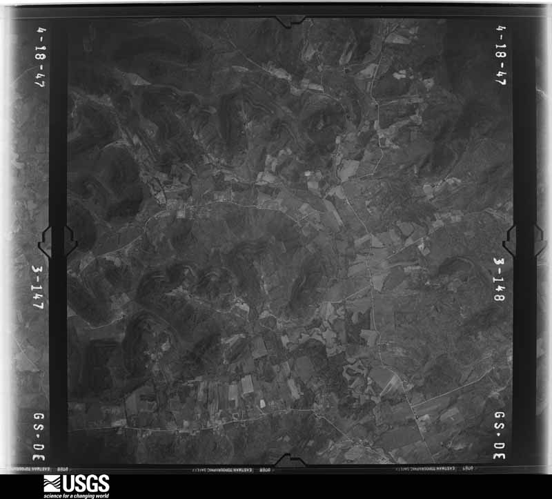
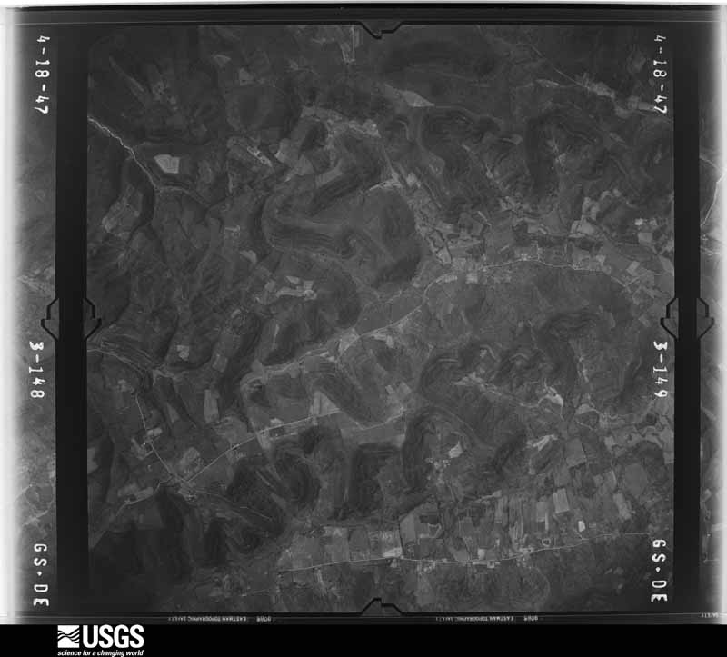
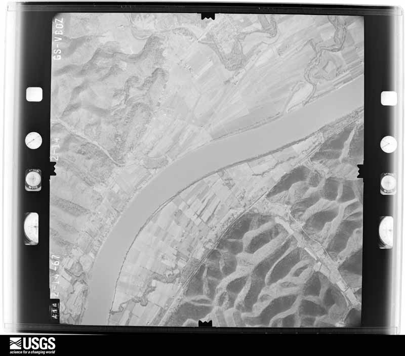
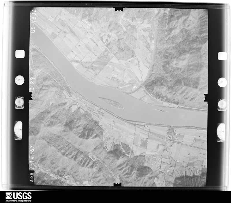
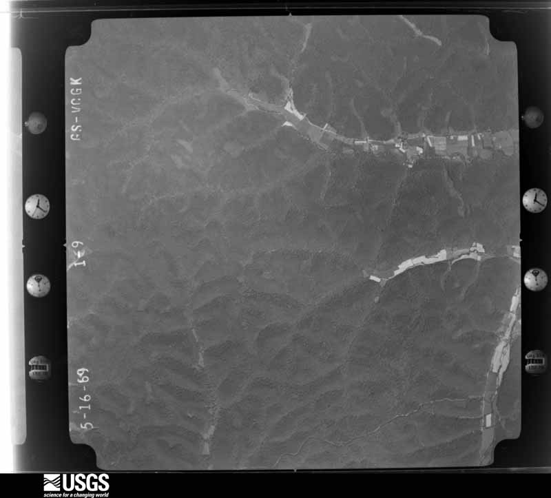
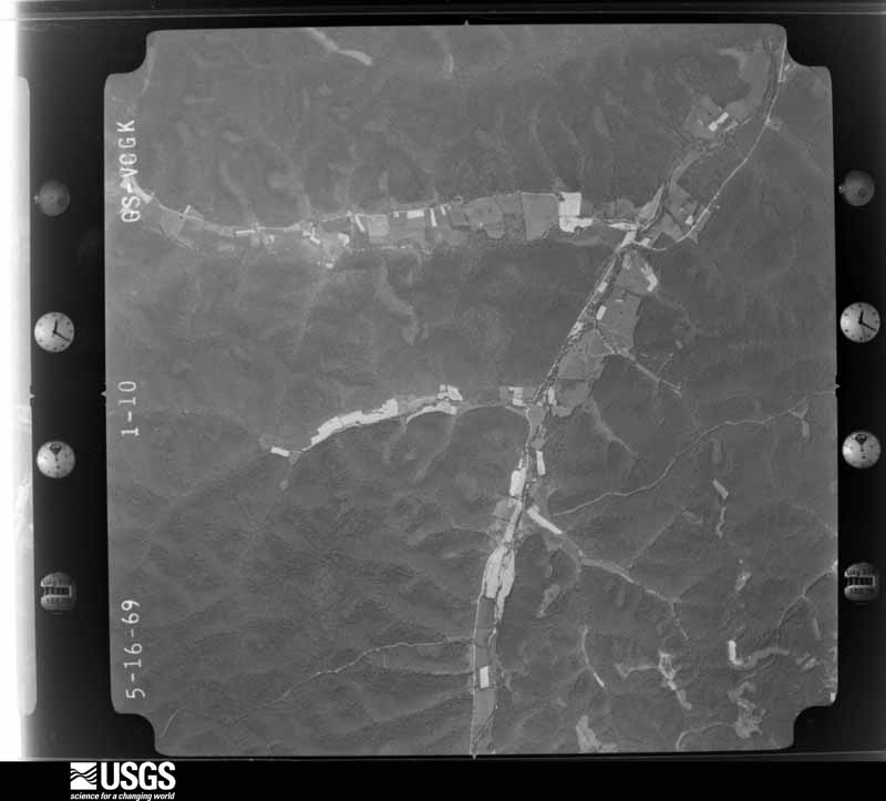
Flown by the U.S. Geological Survey between 1937 and 1989, the Aerial Photo Single Frames collection is the definitive mid-century view of the land: fields, roads and rivers as the camera saw them. The Survey holds 1,265 frames inside the rectangle that bounds this county; the 47 frames below were taken over the county itself, chosen across the decades of flights (at most four a year from that rectangle), so one flight cannot crowd out the rest. The full set is free to browse and download at EarthExplorer under the dataset Aerial Photo Single Frames.
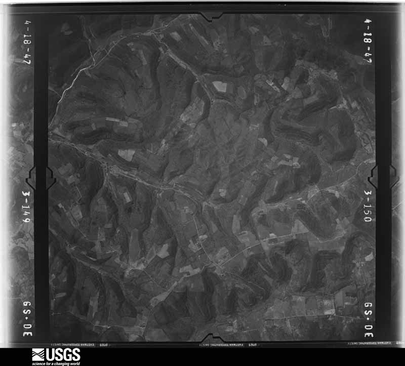
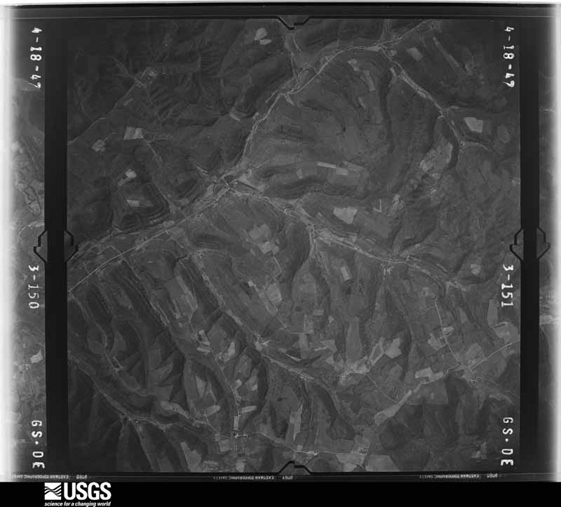

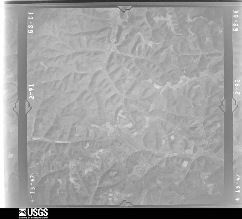
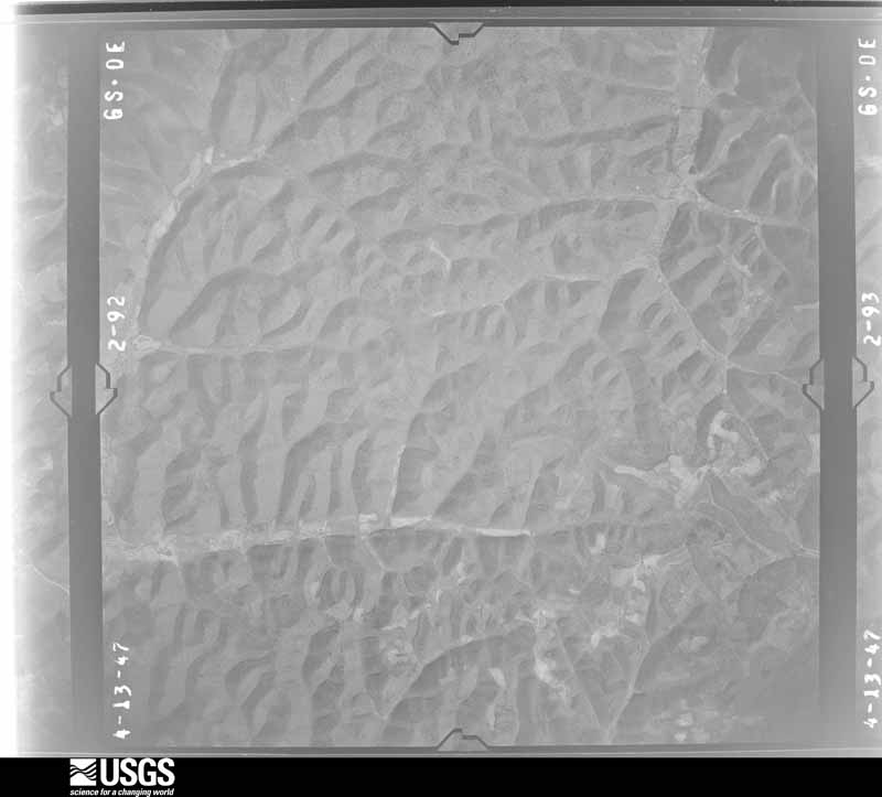
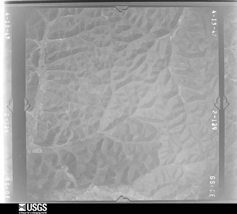

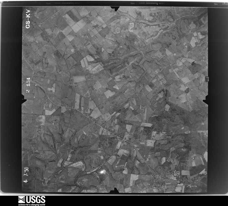





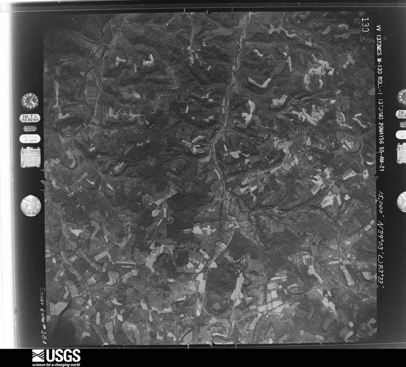
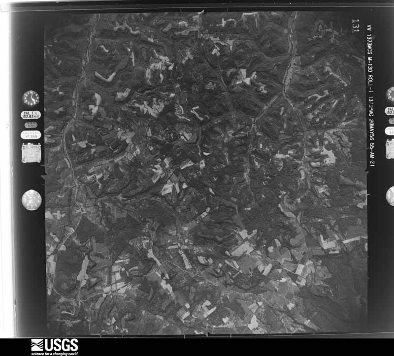
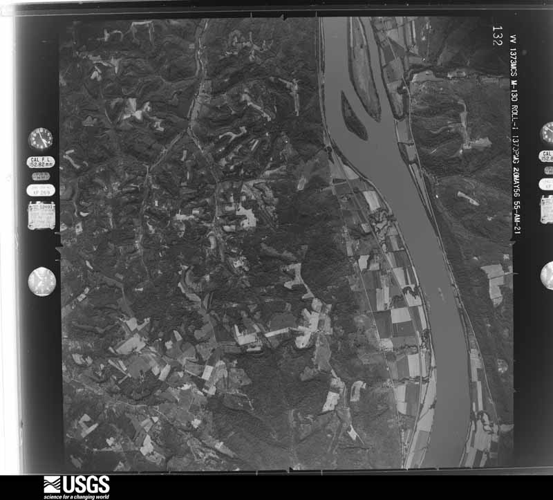
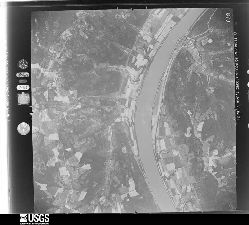
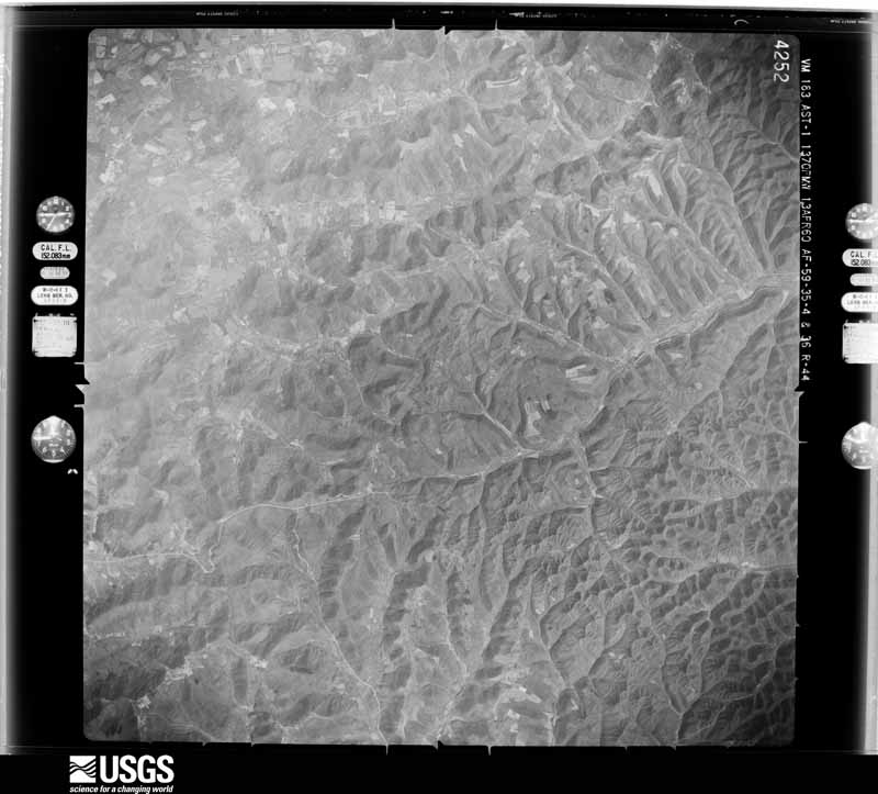
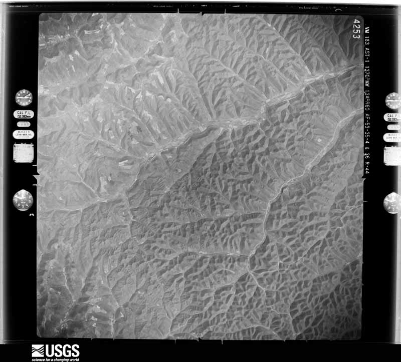
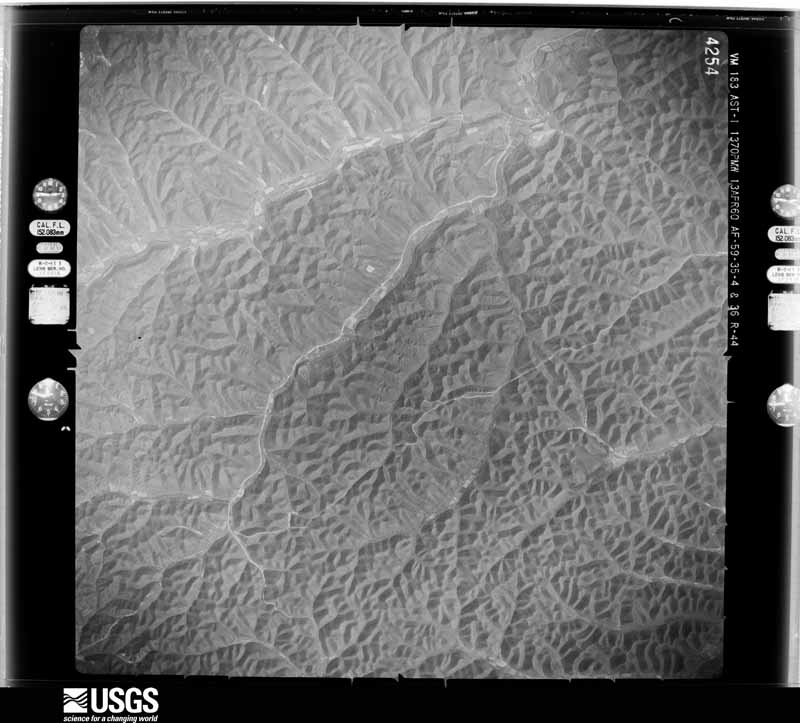
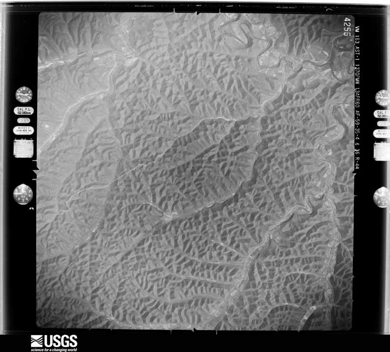
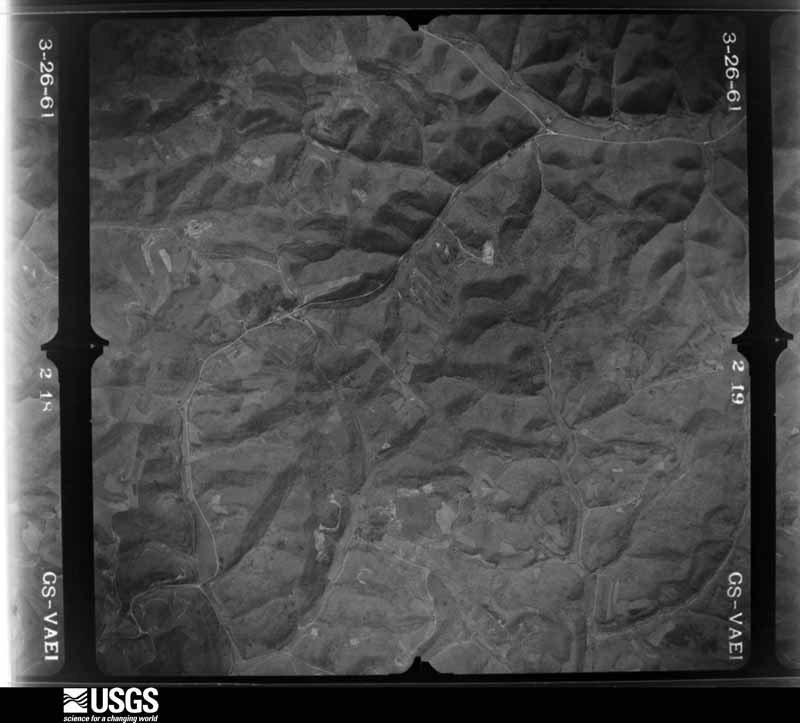
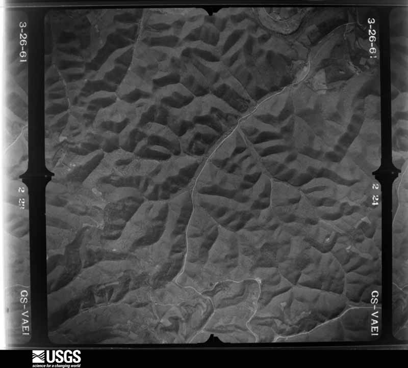
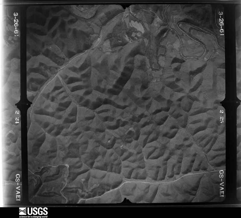
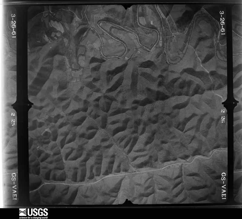
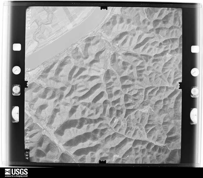
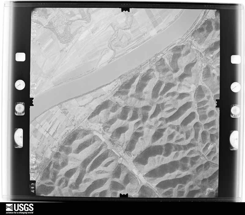
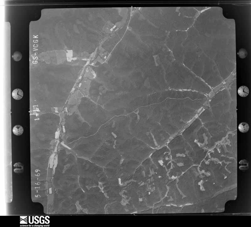



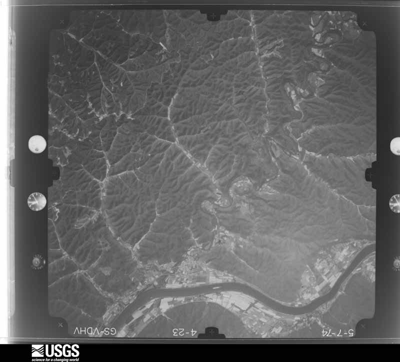
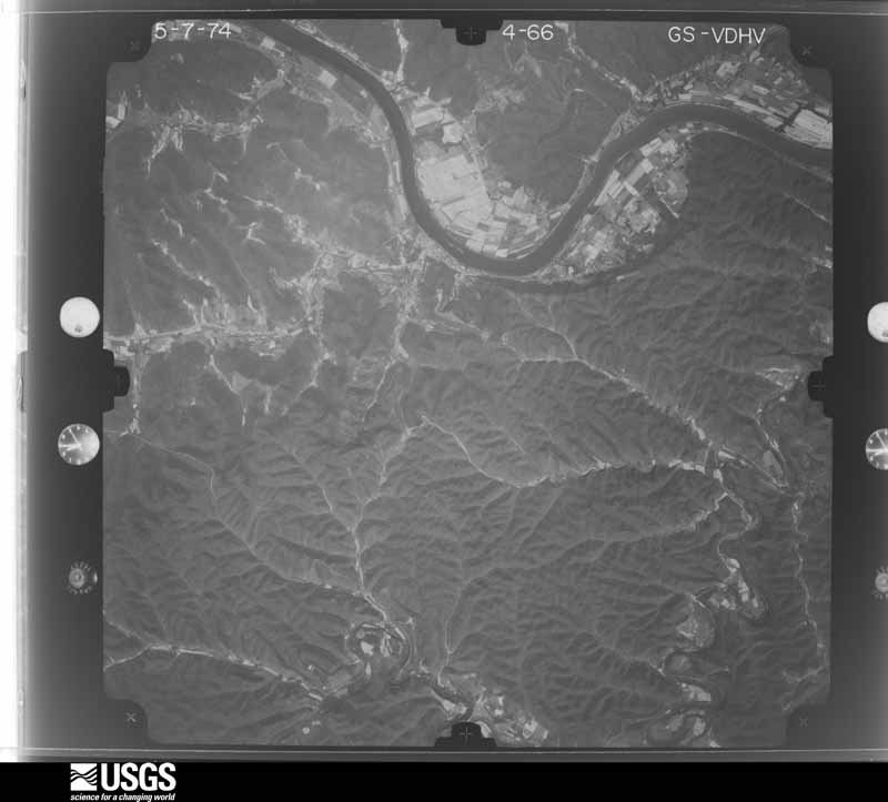
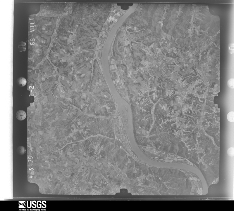


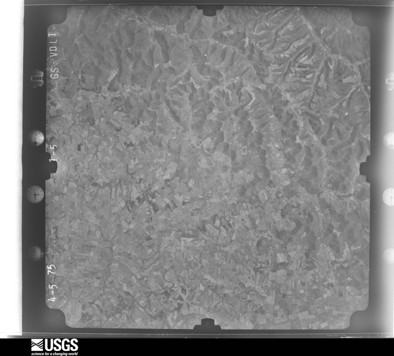


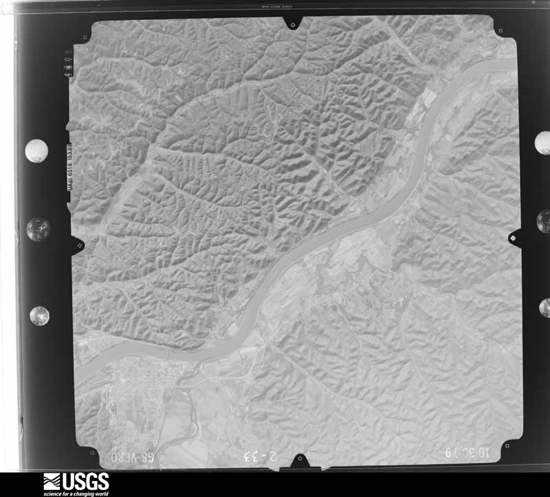
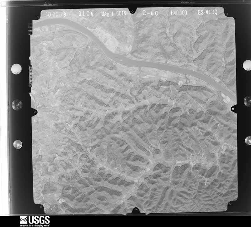
The thermometers that kept this county's weather, and the gages that measured the flow of its streams, as the federal records hold them. The extremes below are measured values from those records, not estimates.
Who lived here in 1950, one enumeration district at a time, as the Census Bureau described each district. Each row opens its official National Archives result, with Population Schedules and ED Maps available there.
Every wildfire the federal occurrence database records inside this county: 224 of them, burning about 7,084 acres. 2 started naturally and 33 were recorded as arson. Each settlement page carries the fires within five miles of it.
| Reported cause | Fires |
|---|---|
| Debris and open burning | 98 |
| Missing data/not specified/undetermined | 46 |
| Recreation and ceremony | 37 |
| Arson/incendiarism | 33 |
| Equipment and vehicle use | 3 |
| Railroad operations and maintenance | 2 |
| Natural | 2 |
| Misuse of fire by a minor | 2 |
| Smoking | 1 |
The five largest, by the area the report gives. None of them was recorded as arson.
| Date | Cause | Size | Reported by | Name on the report |
|---|---|---|---|---|
| 6 April 1999 | Debris and open burning | 1,000 acres | Kentucky Division of Forestry | not named |
| 23 October 2010 | Debris and open burning | 591 acres | Kentucky Division of Forestry | HARRISON HOLLOW |
| 10 April 2005 | Missing data/not specified/undetermined | 366 acres | Kentucky Division of Forestry | UNION HILL |
| 31 March 2015 | Recreation and ceremony | 332 acres | Kentucky Division of Forestry | KY 59 |
| 4 May 2013 | Debris and open burning | 308 acres | Kentucky Division of Forestry | LAUREL |
| 3 April 2010 | Debris and open burning | 300 acres | Kentucky Division of Forestry | LAUREL/ SR 59 |
| 9 April 2013 | Missing data/not specified/undetermined | 214 acres | Kentucky Division of Forestry | LOWER TWIN BRANCH |
| 24 March 2009 | Missing data/not specified/undetermined | 151 acres | Kentucky Division of Forestry | BIG SALT LICK |
Every settlement page carries the fires within five miles of it - see the settlement index below.
The NOAA Storm Events Database holds 206 reports for this county, causing 4 deaths, 22 injuries and about $17,832,600 in recorded property damage. Each settlement page carries the reports that name it.
| Kind of event | Reports |
|---|---|
| Thunderstorm Wind | 95 |
| Flash Flood | 51 |
| Flood | 27 |
| Hail | 26 |
| Tornado | 6 |
| Heavy Rain | 1 |
The most serious of them, by death, then injury, then recorded damage. The accounts are quoted exactly as the forecast office filed them.
| When | Event | Place named | Harm | What the report says |
|---|---|---|---|---|
| May 2004 | Flash Flood | Trinity | 4 killed | A car was washed off of Crooked Creek Road in the northern part of the county. Four people were swept away into the creek and lost their lives. |
| May 2003 | Tornado (F3) | Tollesboro | 17 hurt, $5,000,000 | The tornado touched down to the southeast of Maysville, continuing east-southeast into Lewis County. The greatest damage occurred in the Heron Hill area in western Lewis County. Seventeen people were injured in Lewis County. 21 homes were destroyed, 10 homes sustained major damage and 17 homes received minor damage. Numerous barns, buildings and garages were also damaged or destroyed. The tornado appeared to skip across parts of Mason and Lewis Counties. Tornado damage ended four miles to the southeast of Vanceburg. |
| June 1982 | Tornado (F2) | not stated | 3 hurt, $250,000 | no account filed |
| November 1965 | Tornado (F1) | not stated | 2 hurt, $250,000 | no account filed |
| February 2000 | Flash Flood | Countywide | $10,000,000 | Showers and thunderstorms with heavy rainfall caused extensive damage across the county, with the worst damage occurring in Camp Dix. Numerous creeks and streams overflowed their banks and many roads were closed. A total of 146 structures were damaged with 50 being totally destroyed. Evacuations of 300 people occurred. |
| March 1997 | Flash Flood | Countywide | $500,000 | no account filed |
| July 2010 | Flash Flood | Tollesboro | $350,000 | Numerous roads were washed out due to flash flooding. In addition there were multiple water rescues from homes. At least three mobile homes and a grocery store were swept off their foundation. Major damage occurred to residences, businesses, vehicles, and roads across southern portions of the county. |
| April 1971 | Tornado (F1) | not stated | $250,000 | no account filed |
| March 2017 | Flash Flood | Epworth | $200,000 | Extensive flash flooding was reported from Tollesboro to Vanceburg. Water, several feet deep, was flowing across numerous roadways in the area. A bridge was washed out on Quicks Run Road. |
| July 2021 | Flash Flood | Irwin | $100,000 | Three to five inches of rain resulted in flash flooding across much of western Lewis County. Numerous culverts and roads were washed out or damaged due to the flowing water. |
| March 2017 | Thunderstorm Wind | Burtonville | $100,000 | On Kentucky 989 just west of Burtonville, the top third of a silo was destroyed and blown to the east toppling onto another structure. Also, two other barns were destroyed. Several large trees were blown down or uprooted in the southwestern part of the county. Also, a few large, very well constructed barns were shifted 6 to 8 feet off their foundations with the opposite walls severely buckled. One of these barns had the roof completely blown off and large sections of the siding missing. All the debris from the above barns was scattered in fields to the east. Several smaller barns in this same area were completely destroyed.||Numerous trees were downed along Buck Lick Branch Road, five miles south-southeast of Tollesboro. Several homes in this neighborhood had minor damage. A brick home had the roof completely blown off. A 2 by 4 board from the roof of this house was blown approximately 100 yards to the east, piercing through a bedroom on the front of another brick house. Also, on the front of this same house, a large window facing west was blown into the house along with the front door. This allowed the wind to enter the house to do further damage. The roof was lifted but not detached. The force of the wind inside the house caused the brick foundation on the north side of the house to bulge and fail over a significant area. Debris from the house and associated shed was scattered into a field to the east of the house. Finally, a church on Mount Zion Road had a storage structure lifted up over the church and into the church cemetery. ||The damage was consistent with wind speeds of 80 to 90 mph. |
| December 2000 | Flash Flood | Countywide | $100,000 | Persistent heavy rainfall caused the closing of 1 road and washed out a bridge. |
| May 2018 | Flash Flood | Cottageville | $50,000 | Flash flooding was reported in the Tollesboro and Camp Dix areas. Ribolt-Epworth Road, Teager Hollow Road, Straight Fork Road, Mosby Road, Cooper Fork Road and Lower Kinney Road all sustained some road damage. Water approached some homes and caused damage to a grocery store in Tollesboro and a funeral chapel in Camp Dix. |
| July 2012 | Flash Flood | Head Of Grassy | $50,000 | Water was flowing over State Route 59 near Emerson due to heavy rainfall. Water was later reported in homes in Emerson. A mobile home was also swept away by flood waters. |
| August 1993 | Thunderstorm Wind | not stated | $50,000 | Trees and power lines were blown down east of Vanceburg near Black Oak. |
| May 1996 | Flash Flood | Countywide | $30,000 | no account filed |
| April 2020 | Thunderstorm Wind | Herron Hill | $25,000 | A home was severely damage along Manley Hollow Road. Also, several trees were snapped. |
| July 2001 | Thunderstorm Wind | Tollesboro | $25,000 | A roof was blown off a barn and numerous trees were knocked down. |
| October 1999 | Thunderstorm Wind | Tannery | $25,000 | Thunderstorm winds caused extensive damage to a residence. |
| June 2021 | Thunderstorm Wind | Herron Hill | $20,000 | Numerous trees were downed across western portions of Lewis County. |
| June 2021 | Tornado (EF0) | Ribolt | $20,000 | A very brief and weak tornado touched down near Ribolt, just south of the AA Highway during the evening. Much of the damage was concentrated along the beginning of May Hallow Road. One tree was knocked down and several large limbs were also blown over and placed a few hundred feet from the tree. An outbuilding also sustained damage, which included partial roof collapse. Several eyewitnesses reported a funnel, and video taken near the location of damage shows a funnel extending downward near the ground. Based on an evaluation of the damage, winds associated with this brief tornado were around 65 mph. |
| May 2018 | Flash Flood | Head Of Grassy | $20,000 | Parts of Dummit Branch Road and Upper Twin Branch Road were washed out near Head of Grassy. |
| June 2011 | Flash Flood | Charters | $20,000 | One home and one business were inundated by high water due to heavy rain. |
| June 2009 | Tornado (EF1) | Tollesboro | $20,000 | Several homes and mobile homes received minor structural damage. Three mobile homes were lifted off of their foundations. A barn was destroyed and another was damaged. Several trees and large branches were also downed. A truck was also damaged. ||Most of the damage was in Tollesboro off of route 10 in the Hampton Lane Road area. |
| August 2018 | Flash Flood | Carrs | $15,000 | A water line was washed out along Quicks Run Road about 2 miles from KY-8. |
| December 2013 | Thunderstorm Wind | Vanceburg | $15,000 | Roof damage occurred to a home in Vanceburg due to thunderstorm winds. Scattered trees were downed around the county as well as some road closures due to the downed trees. |
| November 1998 | Thunderstorm Wind | Tollesboro | $15,000 | Damage occurred to the roofs of several homes. |
| June 2012 | Thunderstorm Wind | Kinniconick | $10,000 | Trees were downed across the county due to damaging thunderstorm winds. |
| April 2011 | Flash Flood | Ferry Vanceburg | $10,000 | Water was reported over a road with a culvert washed out due to the heavy rainfall. |
| July 2010 | Flash Flood | Kinniconick | $10,000 | Several roads were closed across the southern half of the county due to high water. The high water also made it to some homes in the area. |
| July 2010 | Flash Flood | Camp Dix | $10,000 | Widespread flash flooding occurred across southern portions of the county. Numerous people were trapped and had to be rescued. |
| August 2003 | Thunderstorm Wind | Tollesboro | $10,000 | A barn was blown down and a few tobacco barns sustained minor roof and siding damage. |
| August 2000 | Thunderstorm Wind | Countywide | $10,000 | Numerous trees downed across the county. |
| June 1997 | Flash Flood | Trinity | $10,000 | An isolated thunderstorm dropped an estimated 4 inches of rain causing several roads to be washed out. |
| May 1996 | Thunderstorm Wind | Charters | $8,000 | no account filed |
| June 2005 | Thunderstorm Wind | Vanceburg | $6,000 | Several trees were downed. |
| March 2024 | Thunderstorm Wind | Tollesboro | $5,000 | A tree fell onto a car. |
| June 2021 | Thunderstorm Wind | Garrison | $5,000 | Several trees were downed. |
| May 2018 | Thunderstorm Wind | Tollesboro | $5,000 | Numerous trees and power lines were downed. |
| May 2018 | Thunderstorm Wind | Ferry Vanceburg | $5,000 | Several trees and power lines were downed. |
| June 2017 | Flash Flood | Head Of Grassy | $5,000 | Two road tiles were washed out onto Raccoon Branch Road due to swift flowing water. |
| August 2010 | Flash Flood | Ribolt | $5,000 | Water was reported to be rushing across roads due to heavy rainfall. There was also some flooding of underpasses. One rainfall measurement was of 5.64 inches of precipitation. |
| July 2010 | Flood | Camp Dix | $5,000 | This flooding is a continuation from the earlier flash flooding in the area. |
| July 2010 | Flood | Tollesboro | $5,000 | This flooding is a continuation of the earlier flash flooding. |
| July 2003 | Thunderstorm Wind | Trinity | $5,000 | Trees were knocked down. |
| May 2003 | Thunderstorm Wind | Tollesboro | $5,000 | Trees and power poles were knocked down. |
| October 2001 | Thunderstorm Wind | Garrison | $5,000 | Large limbs were blown down in town. |
| November 2000 | Thunderstorm Wind | Queens | $5,000 | Trees and power lines downed. |
| September 2000 | Thunderstorm Wind | Camp Dix | $5,000 | Trees knocked down by thunderstorm winds. |
| August 2000 | Thunderstorm Wind | Kinniconick | $5,000 | Trees downed across highway 344. |
| August 1998 | Thunderstorm Wind | Vanceburg | $5,000 | Trees down across State Route 8. |
| June 1998 | Flash Flood | Countywide | $5,000 | Numerous roads closed. |
| June 1998 | Thunderstorm Wind | Charters | $5,000 | Trees and power lines downed. |
| July 1997 | Thunderstorm Wind | Tollesboro | $5,000 | Numerous trees down. |
| August 1997 | Thunderstorm Wind | Vanceburg | $5,000 | Trees downed. |
| June 1997 | Flash Flood | Vanceburg | $5,000 | Roads flooded. |
| April 1993 | Thunderstorm Wind | not stated | $5,000 | Numerous trees were blown down across the county. |
| January 1996 | Flash Flood | Countywide | $5,000 | no account filed |
| May 2024 | Thunderstorm Wind | Ferry Vanceburg | $4,000 | A few trees were downed north of the AA Highway, just west of Vanceburg. |
| July 2023 | Thunderstorm Wind | Ferry Vanceburg | $4,000 | A few trees were downed along State Route 8. |
The Survey's mineral resources record lists 1 working inside this county. It is closed or unrecorded. Each settlement page carries the workings within five miles of it.
| Commodity | Workings |
|---|---|
| Clay | 1 |
The least common of them first, because a county's hundredth gravel pit says nothing its first ten did not.
| Where | Site | Commodity | Status | Recorded |
|---|---|---|---|---|
| Horner Mine | Clay | Past Producer |
Named settlements recorded in the Geographic Names Information System, each with the topographic sheets covering it. Villages, hamlets and abandoned places alike. Each is shown with the nearest named watercourse or landform and the survey quadrangle it falls on. The 1 place that was also surveyed for fire insurance comes first, with the number of atlases and photographs held for them.
Vanceburg census division · 41179 · On Dry Run · Vanceburg quadrangle
14 sheets, 1919 to 1991
Fire insurance: 8 atlases
Laurel-Petersville census division · 41179 · On Blue Ridge Fork · Head of Grassy quadrangle
8 sheets, 1950 to 1982
Laurel-Petersville census division · 41179 · On Schoolhouse Branch · Soldier quadrangle
8 sheets, 1951 to 1982
No longer a settlement
Garrison census division · 41179 · On Sand Branch · Vanceburg quadrangle
14 sheets, 1919 to 1991
Tollesboro census division · 41189 · On Buck Lick Branch · Burtonville quadrangle
8 sheets, 1951 to 1982
Vanceburg census division · 41179 · Near Fairmont Hollow · Concord quadrangle
15 sheets, 1919 to 1991
Vanceburg census division · 41179 · On Clary Branch · Charters quadrangle
13 sheets, 1919 to 1991
Vanceburg census division · 41179 · On Blue Spring Branch · Vanceburg quadrangle
14 sheets, 1919 to 1991
Tollesboro census division · 41179 · On Sycamore Creek · Concord quadrangle
15 sheets, 1919 to 1991
Tollesboro census division · 41179 · On Browns Run · Tollesboro quadrangle
11 sheets, 1929 to 1991
Tollesboro census division · 41179 · Near Big Brier Knob · Manchester Islands quadrangle
14 sheets, 1929 to 1991
Laurel-Petersville census division · 41179 · On Lee Branch · Stricklett quadrangle
9 sheets, 1951 to 1982
Laurel-Petersville census division · 41179 · On Perry Creek · Soldier quadrangle
8 sheets, 1951 to 1982
Tollesboro census division · 41189 · On Powderlick Branch · Tollesboro quadrangle
11 sheets, 1929 to 1991
Tollesboro census division · 41179 · On Browns Run · Manchester Islands quadrangle
14 sheets, 1929 to 1991
Garrison census division · 41174 · Near Holbrook Hollow · Friendship quadrangle
14 sheets, 1915 to 1991
Garrison census division · 41141 · Near Buris Hollow · Garrison quadrangle
14 sheets, 1915 to 1991
Laurel-Petersville census division · 41179 · On Toller Branch · Charters quadrangle
13 sheets, 1919 to 1991
Laurel-Petersville census division · 41179 · On Tar Fork · Head of Grassy quadrangle
8 sheets, 1950 to 1982
Tollesboro census division · 41179 · On Mefford Branch · Charters quadrangle
13 sheets, 1919 to 1991
Tollesboro census division · 41179 · Near Manchester Island Number 1 · Manchester Islands quadrangle
14 sheets, 1929 to 1991
Vanceburg census division · 41179 · On Grassy Branch · Vanceburg quadrangle
14 sheets, 1919 to 1991
Garrison census division · 41174 · On Indian Run · Friendship quadrangle
14 sheets, 1915 to 1991
Tollesboro census division · 41189 · Near Eskalapia Mountain · Tollesboro quadrangle
11 sheets, 1929 to 1991
Laurel-Petersville census division · 41179 · Burtonville quadrangle
8 sheets, 1951 to 1982
Laurel-Petersville census division · 41179 · Stricklett quadrangle
9 sheets, 1951 to 1982
No longer a settlement
Tollesboro census division · 41179 · Near Dolls Bottom · Manchester Islands quadrangle
14 sheets, 1929 to 1991
Laurel-Petersville census division · 41179 · On Dunaway Branch · Stricklett quadrangle
9 sheets, 1951 to 1982
Tollesboro census division · 41179 · On Martin Fork · Concord quadrangle
15 sheets, 1919 to 1991
Garrison census division · 41166 · On Briery Branch · Garrison quadrangle
14 sheets, 1915 to 1991
Garrison census division · 41141 · On Willis Branch · Brushart quadrangle
11 sheets, 1915 to 1991
Tollesboro census division · 41189 · On East Fork Bethel Creek · Tollesboro quadrangle
11 sheets, 1929 to 1991
Garrison census division · 41179 · On Stone Branch · Wesleyville quadrangle
8 sheets, 1950 to 1982
Garrison census division · 41166 · Near Schoolhouse Hollow · Friendship quadrangle
14 sheets, 1915 to 1991
Tollesboro census division · 41179 · Near The Sand Fills · Maysville East quadrangle
15 sheets, 1929 to 1992
Laurel-Petersville census division · 41179 · On Bear Branch · Stricklett quadrangle
9 sheets, 1951 to 1982
Garrison census division · 41179 · On Wolf Creek · Garrison quadrangle
14 sheets, 1915 to 1991
Tollesboro census division · 41189 · On Grog Branch · Tollesboro quadrangle
11 sheets, 1929 to 1991
Tollesboro census division · 41179 · Near Wilson Bottom · Manchester Islands quadrangle
14 sheets, 1929 to 1991
Garrison census division · 41141 · On McDowell Creek · Garrison quadrangle
14 sheets, 1915 to 1991
No longer a settlement
Laurel-Petersville census division · 41179 · On Hardy Fork · Stricklett quadrangle
9 sheets, 1951 to 1982
No longer a settlement
The vanished settlements of Lewis County: the places named above that are no longer on the map.
14 topographic sheets and 8 fire insurance atlases, 1884 to 1929
The complete index, with nothing left out. Each of these is a separate record with its own page: a federal survey report, or the case file that argued a property on to the National Register. Both are public domain and reproduced word for word.
The vanished settlements of Lewis County, the places these records name that are no longer on the map.