 Block
From the record
3 National Register listings published here.
Sources: the National Register database, National Park Service
55 topographic sheets cover 66 settlements here, and 3 properties are on the National Register of Historic Places.
3 National Register listings published here.
Sources: the National Register database, National Park Service
Taken for the Office of War Information and the Farm Security Administration, who photographed the country between 1935 and 1944. Works of United States government photographers, with no known restriction on use. Each opens its catalogue record.

Every property in this county listed on the National Register of Historic Places, with the year it was listed and the federal nomination document.
| Photograph | Property | Type | Listed | Reference |
|---|---|---|---|---|
| Gardner Farmstead | building | 2015 | 15000653 | |
| Judge D. W. Gardner House | building | 1979 | 79001021 | |
 | Salyersville Bank | building | 1997 | 97001340 |
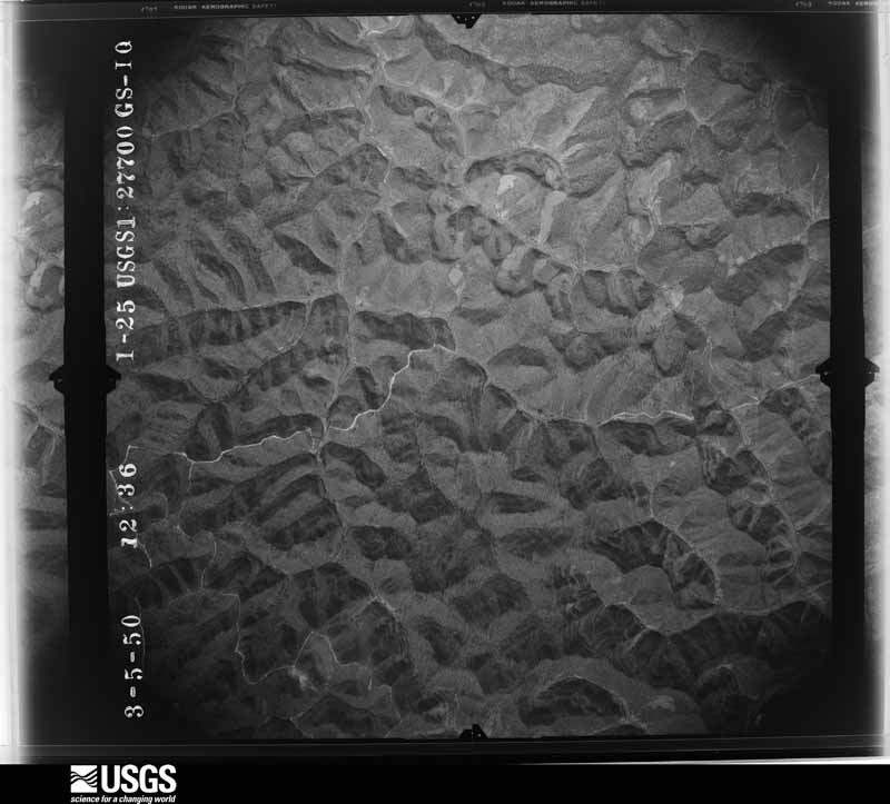
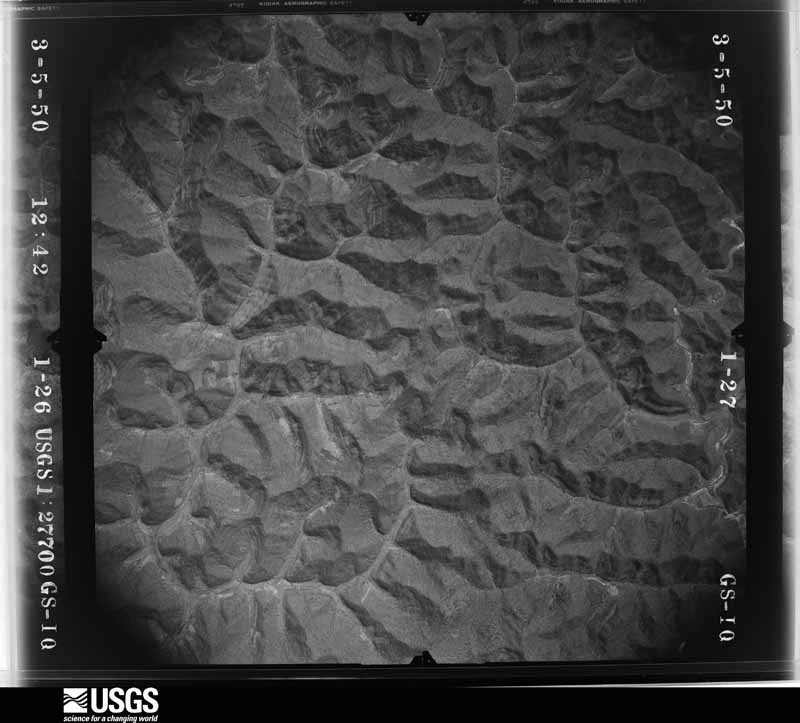
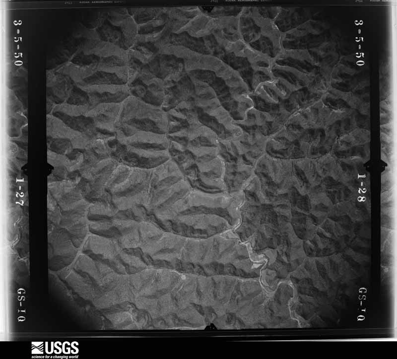
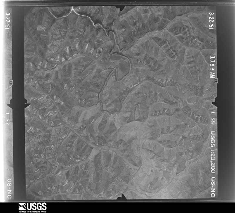
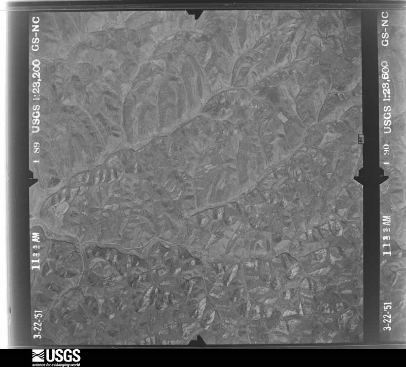
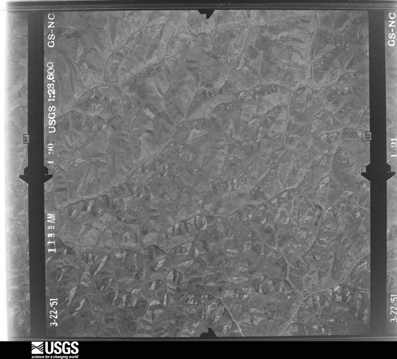
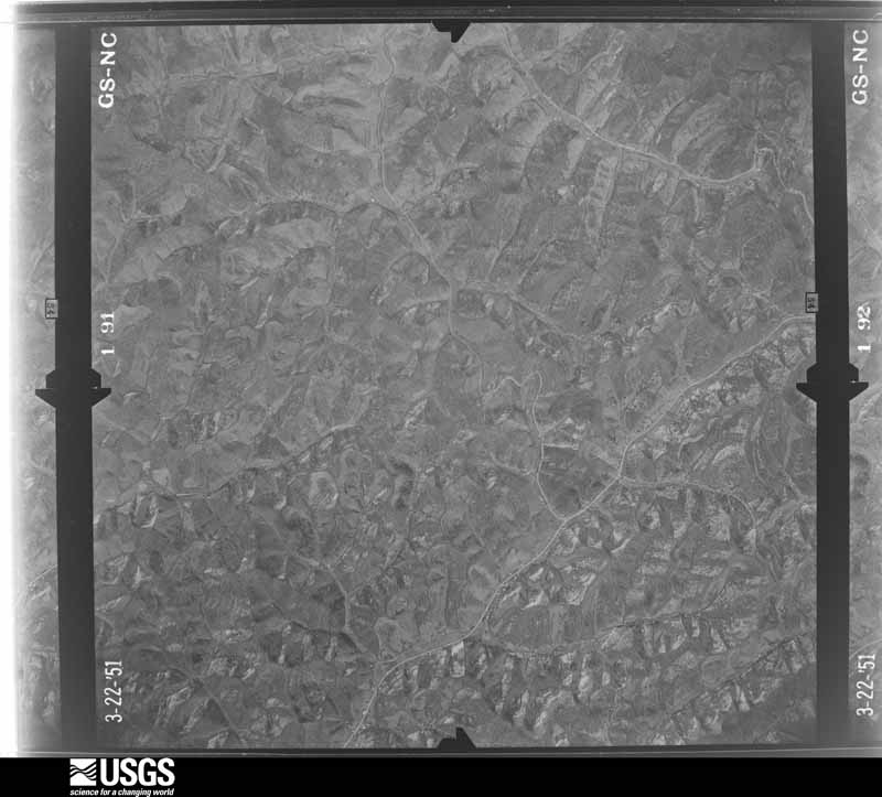
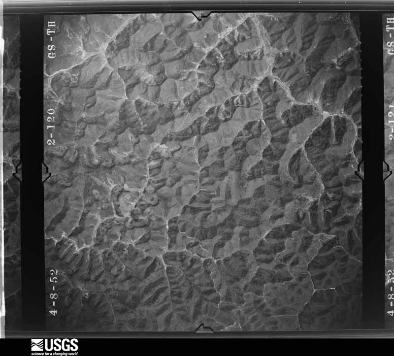
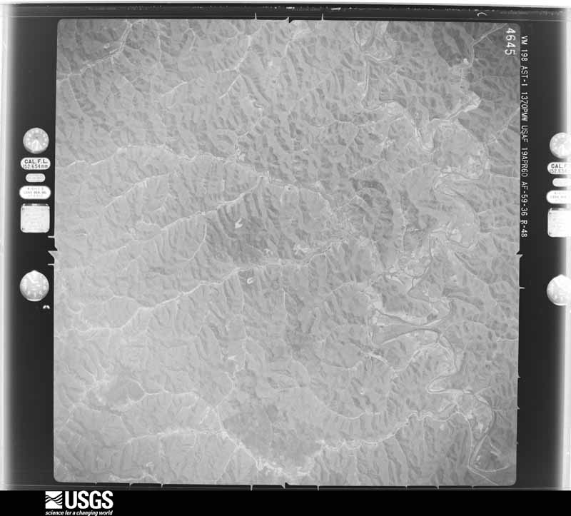
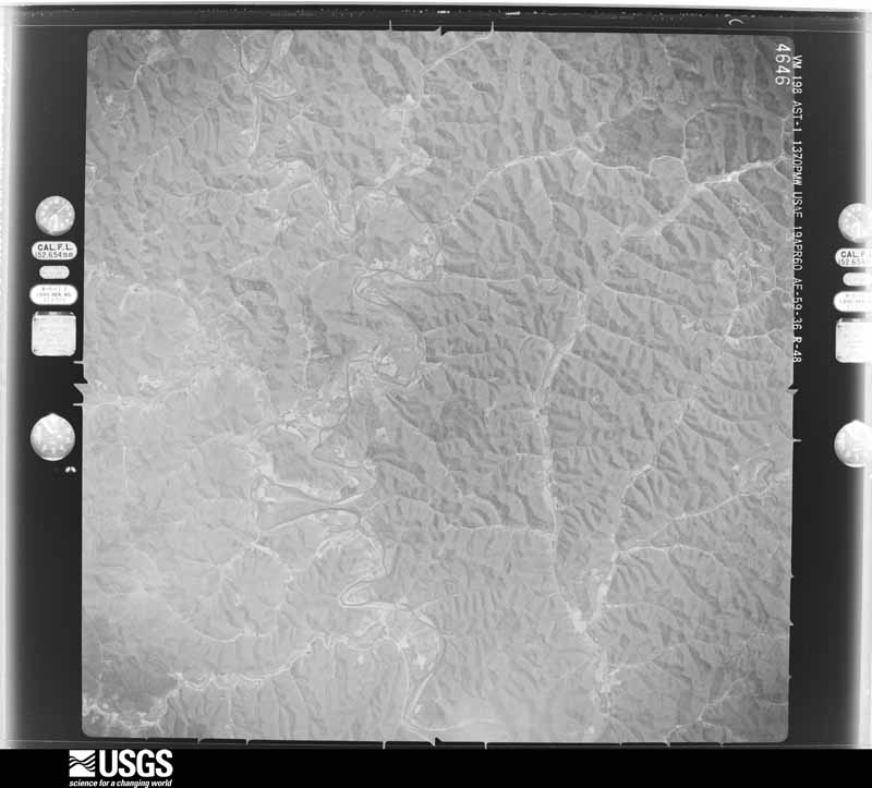
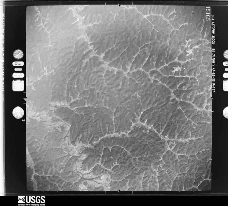
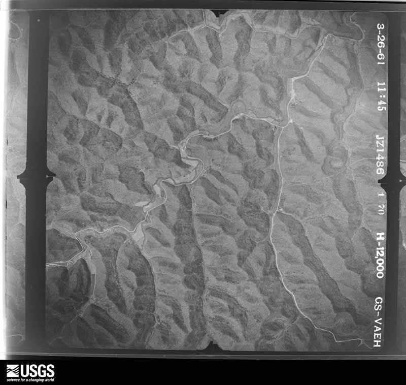
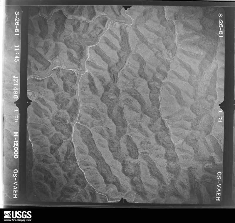
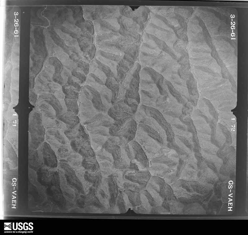
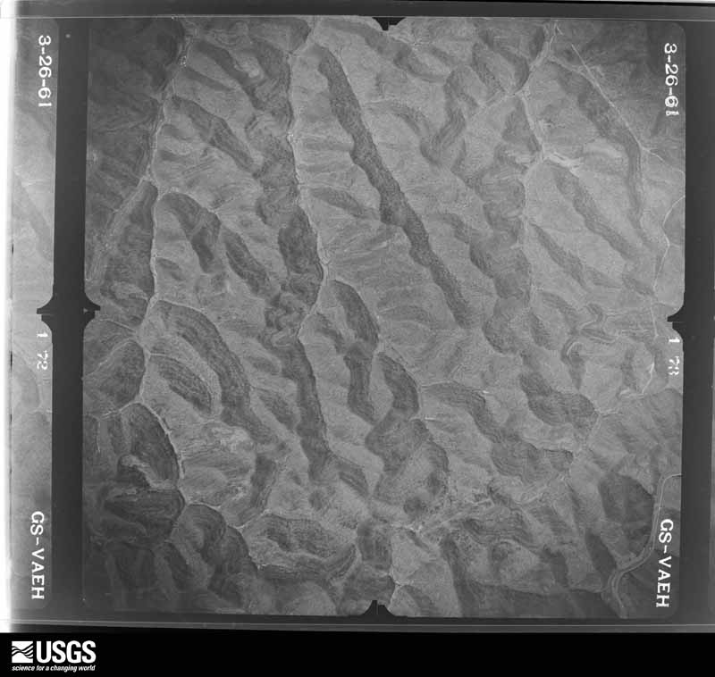
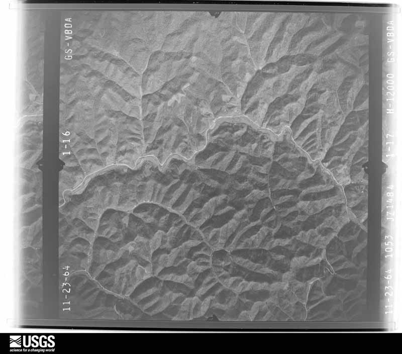
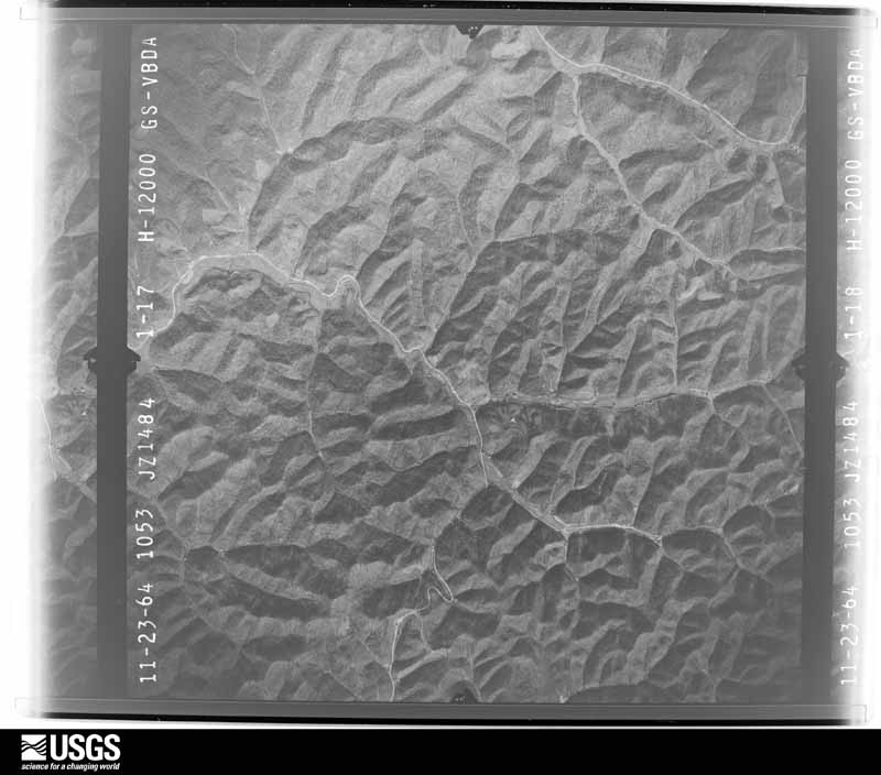
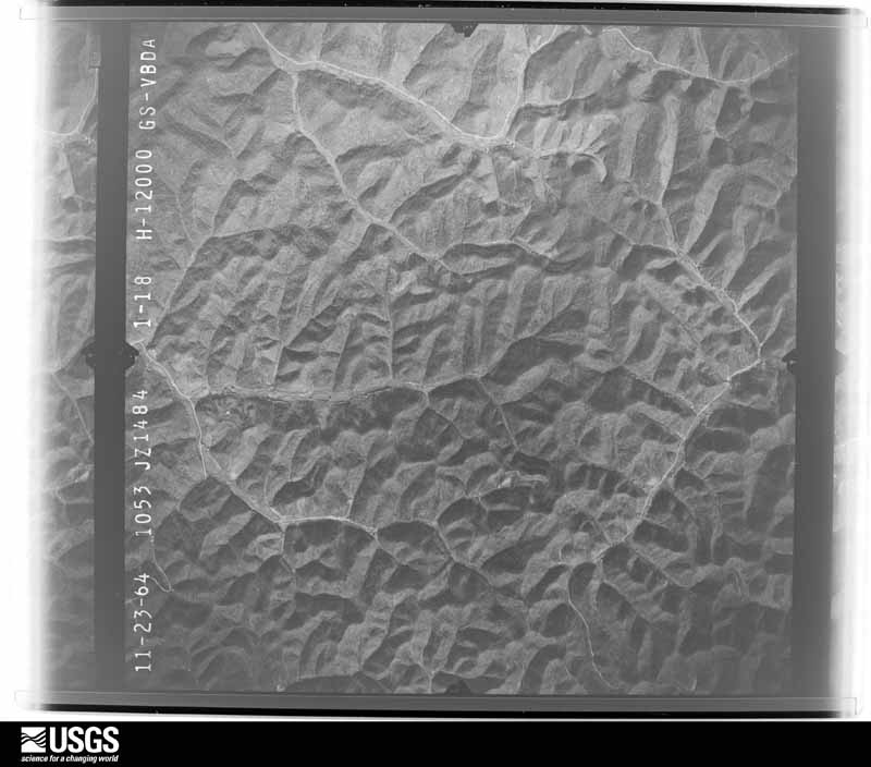
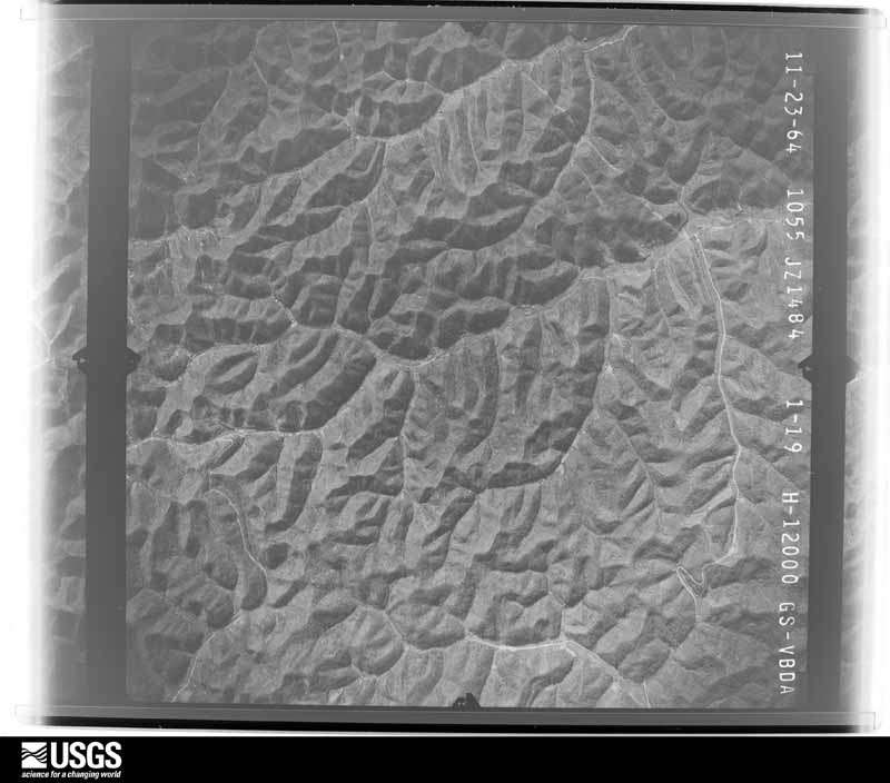
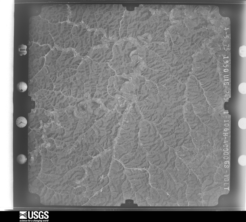
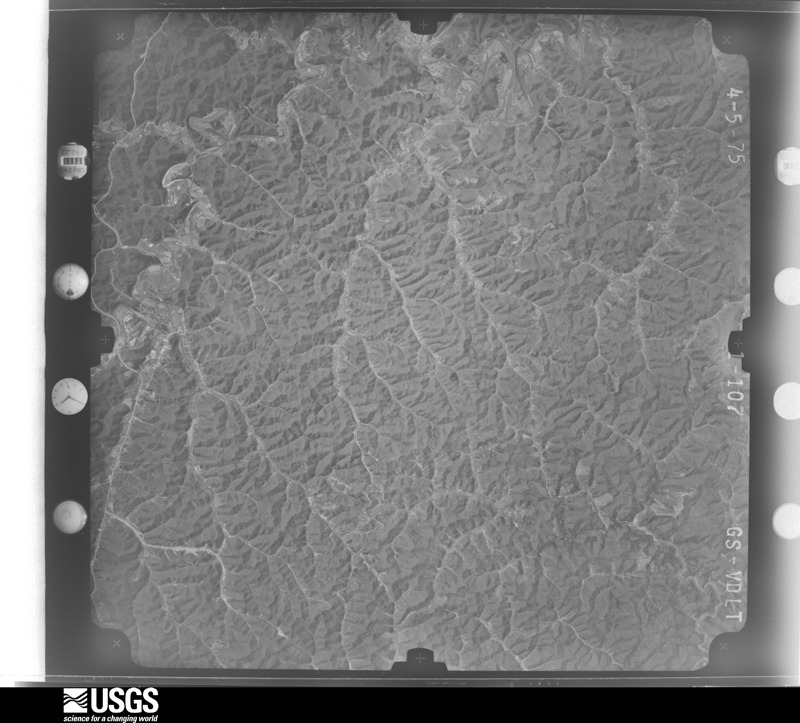
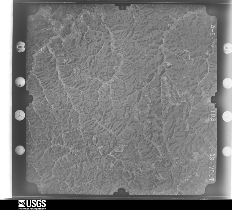
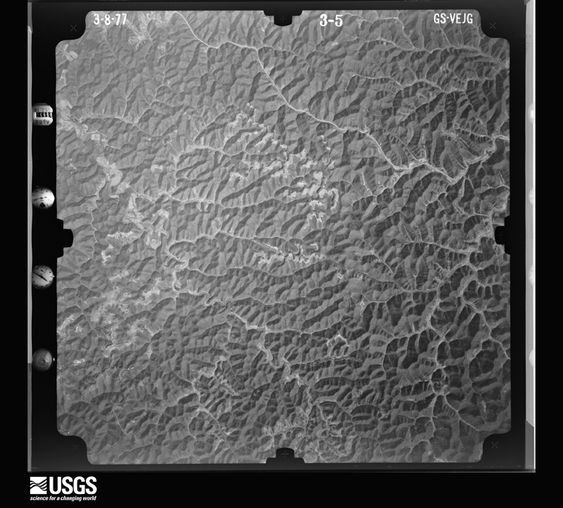
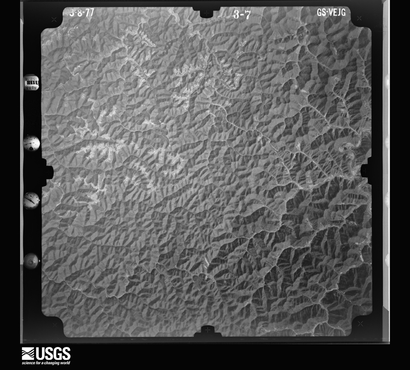
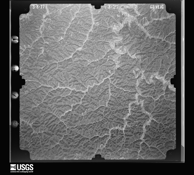
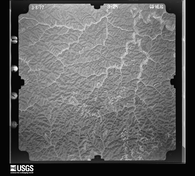
Flown by the U.S. Geological Survey between 1937 and 1989, the Aerial Photo Single Frames collection is the definitive mid-century view of the land: fields, roads and rivers as the camera saw them. The Survey holds 767 frames inside the rectangle that bounds this county; the 31 frames below were taken over the county itself, chosen across the decades of flights (at most four a year from that rectangle), so one flight cannot crowd out the rest. The full set is free to browse and download at EarthExplorer under the dataset Aerial Photo Single Frames.

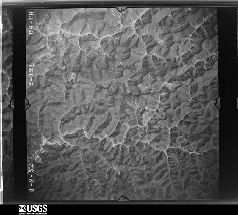
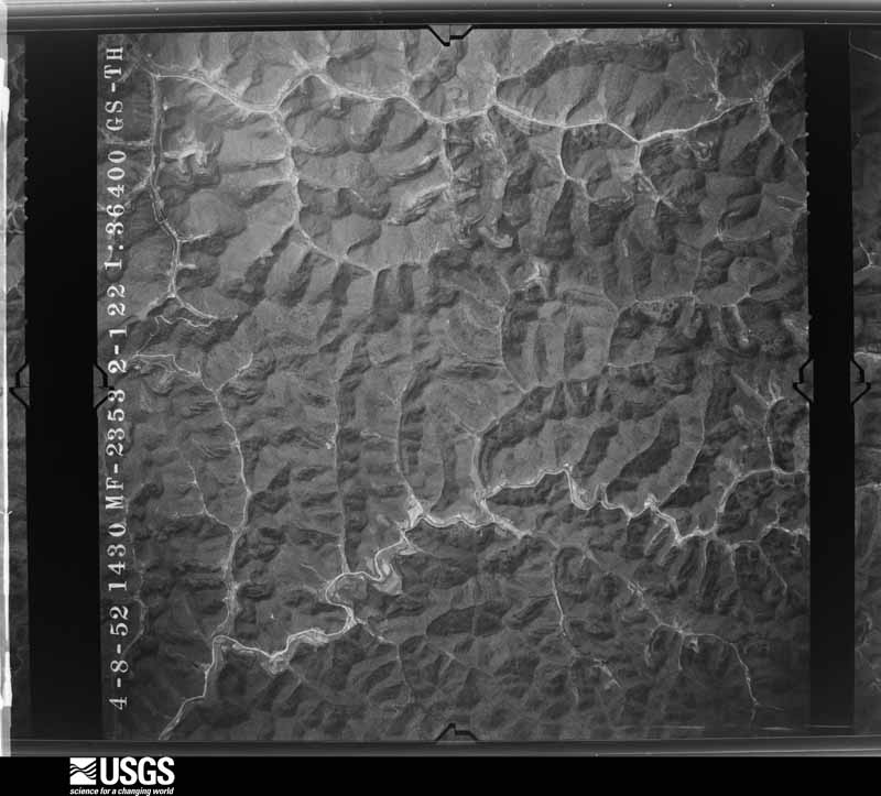
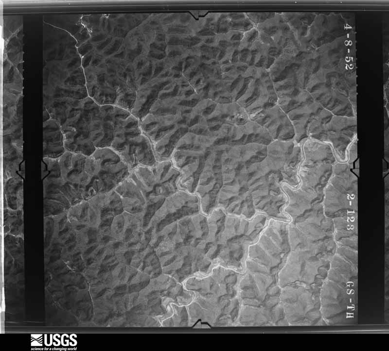
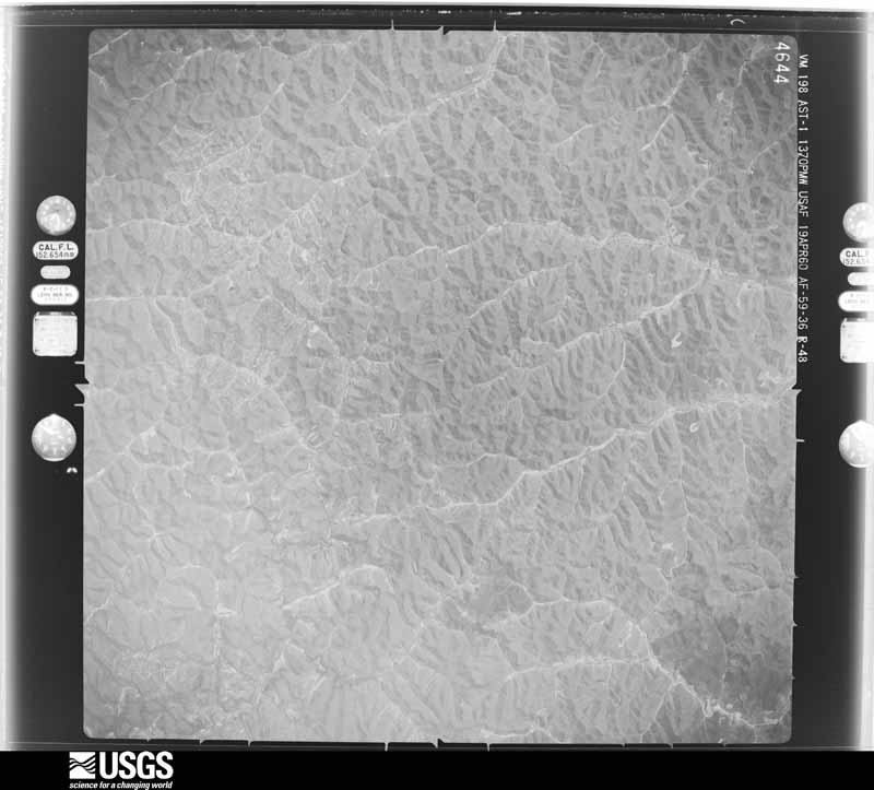
The thermometers that kept this county's weather, and the gages that measured the flow of its streams, as the federal records hold them. The extremes below are measured values from those records, not estimates.
Who lived here in 1950, one enumeration district at a time, as the Census Bureau described each district. Each row opens its official National Archives result, with Population Schedules and ED Maps available there.
Every wildfire the federal occurrence database records inside this county: 1,081 of them, burning about 31,357 acres. 2 started naturally and 180 were recorded as arson. Each settlement page carries the fires within five miles of it.
| Reported cause | Fires |
|---|---|
| Debris and open burning | 473 |
| Missing data/not specified/undetermined | 258 |
| Arson/incendiarism | 180 |
| Recreation and ceremony | 137 |
| Equipment and vehicle use | 16 |
| Railroad operations and maintenance | 10 |
| Misuse of fire by a minor | 4 |
| Natural | 2 |
| Smoking | 1 |
The five largest, by the area the report gives. One of them was set deliberately.
| Date | Cause | Size | Reported by | Name on the report |
|---|---|---|---|---|
| 29 April 2007 | Debris and open burning | 601 acres | Kentucky Division of Forestry | SPRUCE PINE #1 |
| 1 April 2015 | Debris and open burning | 568 acres | Kentucky Division of Forestry | SPRUCE PINE |
| 13 April 2016 | Debris and open burning | 540 acres | Kentucky Division of Forestry | SPRUCE PINE RT 7 |
| 26 March 2008 | Debris and open burning | 500 acres | Kentucky Division of Forestry | COAL BRANCH |
| 10 November 1999 | Arson/incendiarism | 400 acres | Kentucky Division of Forestry | not named |
| 19 April 2005 | Missing data/not specified/undetermined | 400 acres | Kentucky Division of Forestry | DRY BREAD |
| 13 November 1999 | Missing data/not specified/undetermined | 375 acres | Kentucky Division of Forestry | not named |
| 28 February 2006 | Missing data/not specified/undetermined | 350 acres | Kentucky Division of Forestry | JAKE WIREMANFORK |
Every settlement page carries the fires within five miles of it - see the settlement index below.
The NOAA Storm Events Database holds 305 reports for this county, causing no deaths, 30 injuries and about $26,661,250 in recorded property damage. Each settlement page carries the reports that name it.
| Kind of event | Reports |
|---|---|
| Thunderstorm Wind | 170 |
| Hail | 63 |
| Flash Flood | 44 |
| Flood | 17 |
| Heavy Rain | 8 |
| Tornado | 3 |
The most serious of them, by death, then injury, then recorded damage. The accounts are quoted exactly as the forecast office filed them.
| When | Event | Place named | Harm | What the report says |
|---|---|---|---|---|
| March 2012 | Tornado (EF3) | Cutuno | 30 hurt, $25,000,000 | A storm damage survey team from the National Weather Service in Jackson, Kentucky confirmed a tornado moved across Magoffin County during the evening hours of March 2, 2012. The tornado crossed from Wolfe County into Magoffin County at approximately 651 pm EST and rapidly intensified. The tornado crossed the Mountain Parkway several times before impacting Salyersville at 703 pm EST at EF-3 strength with wind speeds estimated at around 160 mph and a maximum path width of up to 3/4 of a mile. The hardest hit area of Salyersville included the intersection of the Mountain Parkway and Highway 460 where many businesses and structures were totally destroyed. The town of Conley also suffered widespread and extreme damage as a direct result of this tornado. The tornado tracked from Magoffin County into Johnson County between the communities of Conley and Asa at approximately 708 pm EST. |
| June 1996 | Flash Flood | Salyersville | $500,000 | no account filed |
| February 2019 | Flash Flood | Salyersville | $250,000 | Rapidly rising water entering a nursing home in Salyersville led to its evacuation. Several other buildings and roads near and in Salyersville also experienced water inundation. |
| June 2003 | Flash Flood | Salyersville | $100,000 | Several bridges and roads were severely damaged by flood waters. Kentucky Routes 7, 1415, and 1766 were flooded. Water was also over Salt Lick Road and Big Lick Branch where a bridge was washed out. United States Route 460 was also flooded. |
| February 2019 | Flood | Swampton | $75,000 | A local media affiliate reported flooding throughout the county, including on Kentucky Highway 7 at Puncheon. |
| April 1998 | Flash Flood | Countywide | $75,000 | no account filed |
| February 2019 | Heavy Rain | Stringtown | $50,000 | The Kentucky Transportation Cabinet reported a rockslide on Kentucky Highway 40 northeast of Salyersville, resulting from repeated rounds of rainfall. |
| February 2019 | Heavy Rain | Gullett | $50,000 | The Kentucky Transportation Cabinet reported heavy rainfall causing a rockslide, forcing the closure of Mountain Parkway west of Salyersville near mile marker 66. The road reopened early on the morning of the 24th. |
| February 2021 | Flash Flood | Salyersville | $40,000 | Water rescues at the nursing home in Salyersville are underway at time of report. Burning Fork Creek flows just behind the nursing home. |
| February 2019 | Flash Flood | Falcon | $40,000 | Trained spotters observed flowing water over Kentucky Highway 40 near Falcon and Kentucky Highway 7 near Royalton. Swift water rescues were performed at each location. |
| February 2019 | Flood | Conley | $40,000 | Several observers reported flooding in and around Salyersville on the evening of the 23rd into the 24th. |
| February 2023 | Flash Flood | Salyersville | $35,000 | Pictures and videos on social media show a large SUV having been swept into a water-filled ditch in front of River Bend Apartments in Salyersville, after trying to drive through the flooded roadway (KY-7/Gardner Trail) and losing traction. The car was mostly submerged in the water, but all occupants were able to escape the flooded vehicle. |
| April 2025 | Flood | Bradley | $25,000 | A water rescue was reportedly ongoing at 63 Claude Allen Road, just off the Mountain Parkway, southeast of Salyersville. |
| January 2008 | Thunderstorm Wind | Salyersville | $25,000 | A 195 foot tall communications tower was blown over by wind gusts estimated at 62 mph. |
| June 2007 | Thunderstorm Wind | Bloomington | $25,000 | Numerous trees down across Highways on north end of county. Highways affected included 40, 460, 1593, 2019, and 1081. |
| February 2020 | Heavy Rain | Seitz | $20,000 | Local Emergency Management reported several mudslides, due to previous heavy rainfall, across southwestern to central portions of Magoffin County, including southwest of and near Salyersville. |
| January 2008 | Thunderstorm Wind | Fritz | $20,000 | Numerous trees were blown down along Route 378 by wind gusts estimated at 63 mph. |
| February 2011 | Thunderstorm Wind | Salyersville | $16,000 | A double wide trailer was blown over and had the roof blown off. A single wide trailer had most its roof blown off as well. One large apple tree was uprooted as well. The damage occurred at Long Branch just west of Salyersville. |
| February 2019 | Heavy Rain | Swampton | $15,000 | Department of Highway officials reported a massive mudslide on Kentucky Highway 7 south of Salyersville near Kentucky Highway 1766. The entire hill over the road gave way due to persistent rainfall, resulting in power lines becoming entangled in trees and forcing an extended closure of the highway. |
| June 2004 | Thunderstorm Wind | Ivyton | $15,000 | An outbuilding was destroyed on Burning Fork Road. |
| June 2025 | Thunderstorm Wind | Sublett | $12,000 | Pictures on social media showed a snapped electric pole with power lines and a transformer on the ground along RC Arnett Road, near the Sublett community. In addition, extensive roofing material was blown off a home in this location, and multiple large tress and branches snapped. |
| June 2019 | Thunderstorm Wind | Hendricks | $10,000 | An NWS Employee and dispatch reported trees blown down on Mountain Parkway and Kentucky Highway 114 from near Ivyton to east of Salyersville. A vehicle that had pulled over due to heavy rain was struck by a tree, but the occupants were not injured. Powerlines were also blown down southwest of Salyersville. |
| July 2017 | Flash Flood | Salyersville | $10,000 | Emergency management and local broadcast media reported several instances of flowing water and corresponding road closures in and around Salyersville. Flowing water of nearly 6 inches was observed flowing across roads in town, while Kentucky Highway 2019 was closed as 8 to 10 inches of water ran over it. Kentucky Highway 30 was also inundated with flowing water along with numerous other low lying areas near streams. |
| June 2013 | Thunderstorm Wind | Cyrus | $10,000 | Numerous trees were blown down, with some of them landing on homes, powerlines, and vehicles in the Wheelersburg community. Hail damage was also noted to some homes and cars and several gardens were destroyed by wind blown hail. |
| February 2011 | Thunderstorm Wind | Kernie | $10,000 | Several large trees were blown down or snapped off along the Mountain Parkway near mile marker 68 in Kernie. |
| February 2009 | Thunderstorm Wind | Salyersville | $10,000 | Roof damage occurred to several homes and utility wires were blown down by thunderstorm wind gusts. Some vehicles were damaged by flying shingles. |
| February 2008 | Thunderstorm Wind | Salyersville | $10,000 | Several large tree limbs were blown down and across roads in several areas near Salyersville. |
| June 2004 | Thunderstorm Wind | Royalton | $10,000 | Numerous trees were down. One tree fell on a trailer home. |
| May 1996 | Flash Flood | Foraker | $10,000 | no account filed |
| April 1996 | Thunderstorm Wind | Salyersville | $10,000 | no account filed |
| April 2011 | Thunderstorm Wind | Salyersville | $8,000 | Three trees were blown down across Salyersville and power lines were blown down along Route 40 to Paintsville. |
| January 2008 | Thunderstorm Wind | Hendricks | $8,000 | A portion of a barn roof was ripped off along Route 30. Telephone poles were also snapped off in the same area by wind gusts estimated at 62 mph. |
| February 2008 | Thunderstorm Wind | Salyersville | $8,000 | Large tree limbs were blown down and across roads by thunderstorm wind gusts in several areas near Salyersville. |
| June 2008 | Thunderstorm Wind | Royalton | $7,000 | Several trees were blown down by thunderstorm wind gusts in the Oakley community. |
| April 2011 | Thunderstorm Wind | Netty | $6,000 | There were trees and debris in the roadway on KY 2022 between mile markers 0 and 2. |
| February 2009 | Thunderstorm Wind | Salyersville | $6,000 | The roof was blown off a two story building. |
| February 2011 | Thunderstorm Wind | Salyersville | $5,000 | A trailer was blown over within the city limits of Salyersville. |
| June 2010 | Thunderstorm Wind | Wheelersburg | $5,000 | Trees were blown down in Wheelersburg. |
| June 2010 | Thunderstorm Wind | Fritz | $5,000 | Several trees were blown down along Rte 378 near Rte 30 in Fritz. |
| May 2009 | Thunderstorm Wind | Salyersville | $5,000 | Thunderstorm wind gusts blew down trees on Routes 867 and 1090 near Salyersville. |
| June 2007 | Thunderstorm Wind | Hendricks | $5,000 | Trees down on Route 378. |
| August 2004 | Thunderstorm Wind | Bethanna | $5,000 | Some roof and structural damage was reported to have occurred to a home. |
| November 2003 | Thunderstorm Wind | Salyersville | $5,000 | Law enforcement reported that trees blew down on United States Route 460 in Salyersville. A co-operative observer reported that trees fell onto and downed power lines in Wheelersburg. |
| June 2003 | Flash Flood | Royalton | $5,000 | A house trailer was knocked off of its blocks on Guncreek Road. The water was two feet deep in some places. Water was over Burning Fork Road and houses were cut off from any traffic. The Licking River was over Kentucky Highway 7. |
| May 2002 | Thunderstorm Wind | Countywide | $5,000 | Numerous trees were downed by strong winds. Downed trees were reported one mile west of Elsie, Ivyton, and Meadows. |
| May 1995 | Thunderstorm Wind | not stated | $5,000 | Four trees were down along with shingles being ripped off a roof in Magoffin City. |
| July 2017 | Flash Flood | Netty | $3,000 | Flooding of low lying areas occurred along Johnson Creek near Netty and Johnson Fork near Epson. There were also a few inches of water observed flowing over the Mountain Parkway. |
| January 1999 | Thunderstorm Wind | Waldo | $3,000 | Roof torn off home. |
| May 1998 | Thunderstorm Wind | Salyersville | $3,000 | Trees were downed. Two trees fell on houses. |
| January 1997 | Thunderstorm Wind | Salyersville | $3,000 | no account filed |
| June 2019 | Thunderstorm Wind | Tip Top | $2,000 | Dispatch relayed a report of a tree blown down onto powerlines southwest of Royalton. |
| May 2018 | Flash Flood | Hendricks | $2,000 | Emergency Management relayed a report of water flowing over Kentucky Route 30 near the Middle Fork of the Licking River southwest of Salyersville, making the road impassable. Road damage was also prevalent due to the swiftly flowing water. |
| April 2011 | Thunderstorm Wind | Salyersville | $2,000 | Large limbs were blown down along KY Hwy 114 between mile markers 0 and 1 four miles east southeast of Salyersville. |
| July 2011 | Thunderstorm Wind | Salyersville | $2,000 | A portion of the roof of a mobile home was blown off. |
| July 2008 | Thunderstorm Wind | Waldo | $2,000 | Two trees were blown down by thunderstorm wind gusts. |
| May 2004 | Thunderstorm Wind | Salyersville | $2,000 | Large limbs were blown down onto a power line. |
| June 2003 | Thunderstorm Wind | Lakeville | $2,000 | Trees and power lines were down. |
| June 2001 | Thunderstorm Wind | Salyersville | $2,000 | Power lines were down on Kentucky Highway 40 near U.S. Highway 460 East. |
| May 2023 | Tornado (EF1) | Foraker | $1,000 | An NWS Survey Team, in conjunction with Magoffin County Emergency Management, confirmed that an EF-1 Tornado touched down on a hillside southwest of Board Tree Rd, crossed the road and then traveled through the holler/drainage along Williams Arnett Cemetery Rd. It then climbed up the adjacent ridgeline before weakening and dissipating. Several structures sustained minor damage, and many trees were snapped or uprooted. |
| July 2021 | Thunderstorm Wind | Elsie | $1,000 | A tree was blown down and onto Route 134 at U.S. 460 near Elsie. |
The Survey's mineral resources record lists 1 working inside this county. It is closed or unrecorded. Each settlement page carries the workings within five miles of it.
| Commodity | Workings |
|---|---|
| Clay | 1 |
The least common of them first, because a county's hundredth gravel pit says nothing its first ten did not.
| Where | Site | Commodity | Status | Recorded |
|---|---|---|---|---|
| Burning Fork Shale | Clay | Prospect |
Named settlements recorded in the Geographic Names Information System, each with the topographic sheets covering it. Villages, hamlets and abandoned places alike. Each is shown with the nearest named watercourse or landform and the survey quadrangle it falls on.
Royalton census division · 41465 · On Howard Branch · David quadrangle
17 sheets, 1886 to 1992
West Magoffin census division · 41465 · On Perkins Branch · White Oak quadrangle
12 sheets, 1889 to 1982
Salyersville census division · 41465 · On Bloomington Branch · White Oak quadrangle
12 sheets, 1889 to 1982
Salyersville census division · 41465 · On Arnett Branch · Salyersville South quadrangle
14 sheets, 1889 to 1982
Salyersville census division · 41465 · On Rockhouse Fork · Salyersville South quadrangle
14 sheets, 1889 to 1982
Royalton census division · 41465 · On Beetree Branch · Salyersville South quadrangle
14 sheets, 1889 to 1982
Salyersville census division · 41465 · On Oxier Branch · Salyersville South quadrangle
14 sheets, 1889 to 1982
No longer a settlement
Salyersville census division · 41465 · On Beartree Fork · Oil Springs quadrangle
17 sheets, 1886 to 1992
Salyersville census division · 41465 · On Boardtree Fork · Seitz quadrangle
13 sheets, 1889 to 1982
No longer a settlement
Salyersville census division · 41465 · On Boardtree Fork · Seitz quadrangle
13 sheets, 1889 to 1982
West Magoffin census division · 41465 · On Rock Lick Branch · Seitz quadrangle
13 sheets, 1889 to 1982
Salyersville census division · 41465 · On Wolfpen Branch · Salyersville North quadrangle
15 sheets, 1889 to 1992
West Magoffin census division · 41465 · On Horse Pen Branch · Seitz quadrangle
13 sheets, 1889 to 1982
Salyersville census division · 41465 · On Horsepen Fork · Salyersville South quadrangle
14 sheets, 1889 to 1982
No longer a settlement
Salyersville census division · 41465 · On Bear Branch · White Oak quadrangle
12 sheets, 1889 to 1982
West Magoffin census division · 41465 · On Cripple Creek · White Oak quadrangle
12 sheets, 1889 to 1982
West Magoffin census division · 41465 · On Long Branch · Seitz quadrangle
13 sheets, 1889 to 1982
Salyersville census division · 41465 · On Seaffold Fork · Salyersville North quadrangle
15 sheets, 1889 to 1992
Salyersville census division · 41465 · On State Road Fork · Salyersville North quadrangle
15 sheets, 1889 to 1992
Salyersville census division · 41465 · On Flat Fork · Salyersville North quadrangle
15 sheets, 1889 to 1992
Salyersville census division · 41465 · On Cranes Nest Branch · Seitz quadrangle
13 sheets, 1889 to 1982
Royalton census division · 41465 · On Whitley Branch · David quadrangle
17 sheets, 1886 to 1992
West Magoffin census division · 41465 · On Lick Branch · Seitz quadrangle
13 sheets, 1889 to 1982
Royalton census division · 41465 · On Bullmire Branch · Ivyton quadrangle
16 sheets, 1886 to 1992
Royalton census division · 41465 · On Lick Branch · Ivyton quadrangle
16 sheets, 1886 to 1992
Salyersville census division · 41465 · On Long Branch · Salyersville North quadrangle
15 sheets, 1889 to 1992
Salyersville census division · 41465 · On Wesley Fork · Salyersville North quadrangle
15 sheets, 1889 to 1992
West Magoffin census division · 41465 · On Gullett Branch · Seitz quadrangle
13 sheets, 1889 to 1982
Royalton census division · 41632 · On Will Branch · David quadrangle
17 sheets, 1886 to 1992
Royalton census division · 41464 · On Meredith Branch · Ivyton quadrangle
16 sheets, 1886 to 1992
West Magoffin census division · 41465 · On Turkey Branch · Seitz quadrangle
13 sheets, 1889 to 1982
West Magoffin census division · 41465 · On Round Mountain Branch · White Oak quadrangle
12 sheets, 1889 to 1982
West Magoffin census division · 41465 · On Jane Arnett Branch · Salyersville South quadrangle
14 sheets, 1889 to 1982
Salyersville census division · 41465 · On Kelly Branch · Ivyton quadrangle
16 sheets, 1886 to 1992
West Magoffin census division · 41465 · On Cow Creek · White Oak quadrangle
12 sheets, 1889 to 1982
Salyersville census division · 41465 · On Wright Branch · Salyersville North quadrangle
15 sheets, 1889 to 1992
Salyersville census division · 41465 · On Flint Branch · Salyersville South quadrangle
14 sheets, 1889 to 1982
Salyersville census division · 41465 · On Twin Lick Fork · Salyersville North quadrangle
15 sheets, 1889 to 1992
Salyersville census division · 41465 · On Buffalo Creek · Salyersville North quadrangle
15 sheets, 1889 to 1992
Salyersville census division · 41465 · On Williams Fork · Salyersville North quadrangle
15 sheets, 1889 to 1992
West Magoffin census division · 41465 · On Collinsworth Branch · White Oak quadrangle
12 sheets, 1889 to 1982
Salyersville census division · 41465 · On Rock Lick Branch · Salyersville North quadrangle
15 sheets, 1889 to 1992
Royalton census division · 41465 · On Blaze Branch · Ivyton quadrangle
16 sheets, 1886 to 1992
Salyersville census division · 41465 · On Burton Fork · Salyersville North quadrangle
15 sheets, 1889 to 1992
Salyersville census division · 41465 · On Bailey Branch · Salyersville South quadrangle
14 sheets, 1889 to 1982
West Magoffin census division · 41465 · On Wheel Rim Fork · Seitz quadrangle
13 sheets, 1889 to 1982
West Magoffin census division · 41465 · On Reed Branch · Seitz quadrangle
13 sheets, 1889 to 1982
Salyersville census division · 41465 · On Painters Lick Branch · Oil Springs quadrangle
17 sheets, 1886 to 1992
No longer a settlement
Salyersville census division · 41465 · On Wesley Fork · Salyersville North quadrangle
15 sheets, 1889 to 1992
West Magoffin census division · 41465 · On Left Fork Puncheon Creek · Seitz quadrangle
13 sheets, 1889 to 1982
No longer a settlement
West Magoffin census division · 41465 · On Holbrook Branch · Seitz quadrangle
13 sheets, 1889 to 1982
No longer a settlement
Royalton census division · 41464 · On Gun Creek · Salyersville South quadrangle
14 sheets, 1889 to 1982
Salyersville census division · 41465 · On Coal Branch · Salyersville North quadrangle
15 sheets, 1889 to 1992
West Magoffin census division · 41465 · On Puncheon Creek · Seitz quadrangle
13 sheets, 1889 to 1982
Salyersville census division · 41465 · On Salyer Branch · Salyersville South quadrangle
14 sheets, 1889 to 1982
No longer a settlement
West Magoffin census division · 41465 · On Cherry Orchard Branch · Seitz quadrangle
13 sheets, 1889 to 1982
Salyersville census division · 41465 · On Twentytwo Mile Branch · Salyersville North quadrangle
15 sheets, 1889 to 1992
Salyersville census division · 41465 · On Salyer Branch · Salyersville South quadrangle
14 sheets, 1889 to 1982
Royalton census division · 41464 · On Little Half Mountain Creek · Salyersville South quadrangle
14 sheets, 1889 to 1982
Salyersville census division · 41465 · On Sand Lick Branch · Tiptop quadrangle
14 sheets, 1889 to 1982
Salyersville census division · 41465 · On Litteral Fork · Salyersville North quadrangle
15 sheets, 1889 to 1992
Salyersville census division · 41465 · On Trace Branch · White Oak quadrangle
12 sheets, 1889 to 1982
The vanished settlements of Magoffin County: the places named above that are no longer on the map.