 Block
From the record
4 National Register listings published here.
Sources: the National Register database, National Park Service
68 topographic sheets and 3 fire insurance atlases across 1 place.
4 National Register listings published here.
Sources: the National Register database, National Park Service
Taken for the Office of War Information and the Farm Security Administration, who photographed the country between 1935 and 1944. Works of United States government photographers, with no known restriction on use. Each opens its catalogue record.




Every property in this county listed on the National Register of Historic Places, with the year it was listed and the federal nomination document.
| Photograph | Property | Type | Listed | Reference |
|---|---|---|---|---|
 | Cherokee State Park | district | 2009 | 08001120 |
| James R. Lemon House | building | 1975 | 75000802 | |
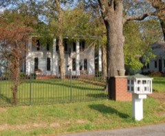 | Oak Hill | building | 1974 | 74000894 |
| Stilley House | building | 1986 | 86002195 |
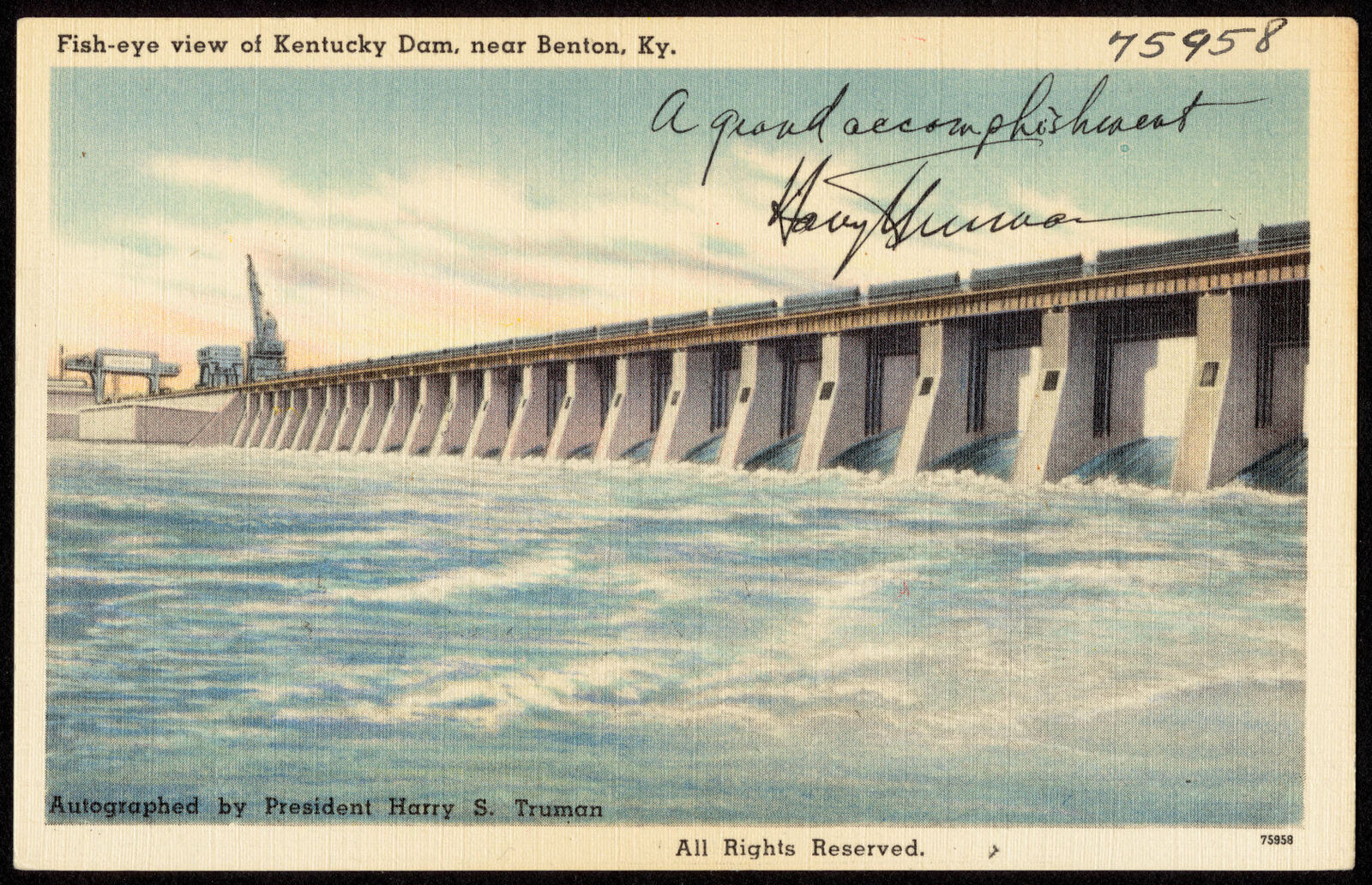
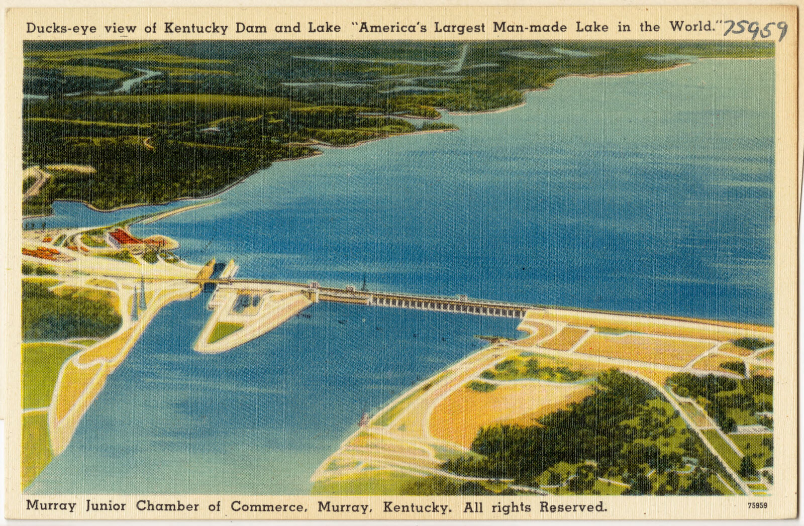
Selected from the Digital Public Library of America's 3 image records catalogued for this county. Every one shown here carries a public-domain status or a licence that permits reuse on a site that carries advertising; non-commercial, share-alike and restricted images are excluded. The selection is spread across the county's towns (at most eight per town), so no single institution's bulk upload crowds out the rest. Each opens the holding library's record, and the complete set at the Digital Public Library of America is one click away.
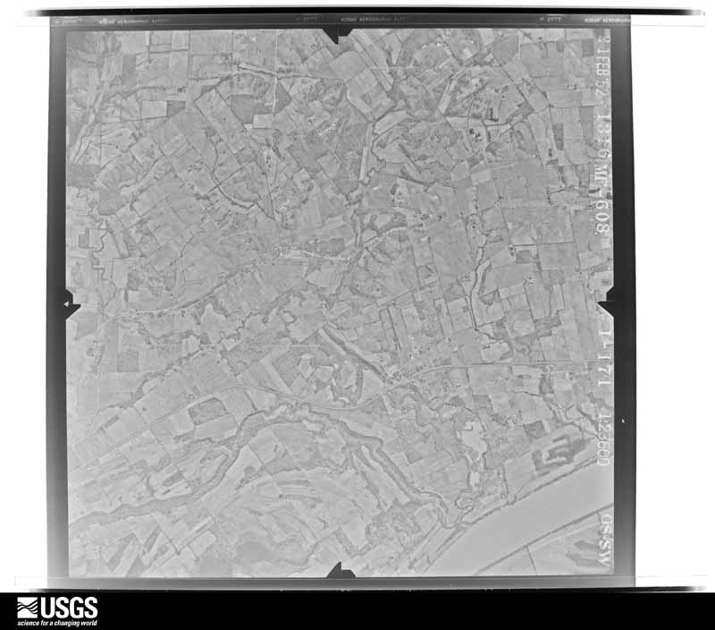
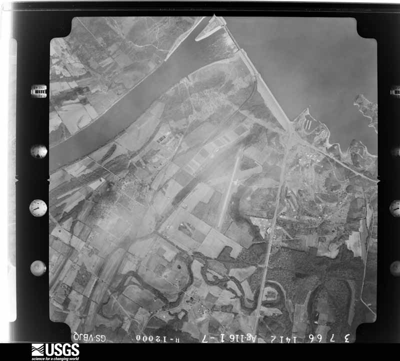
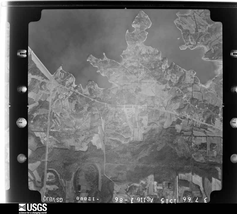
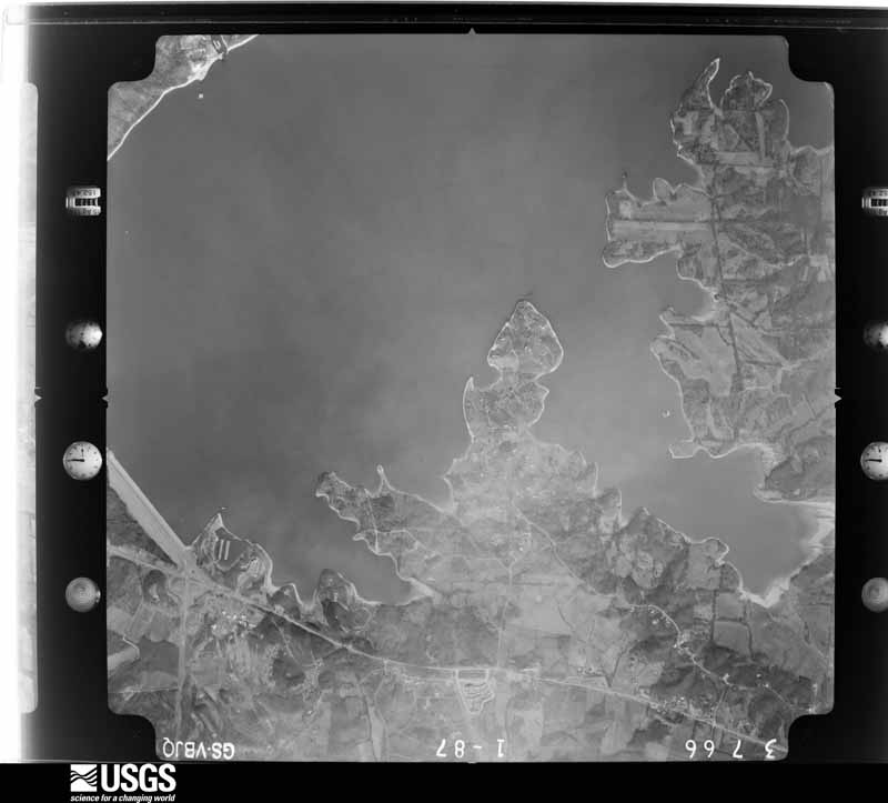
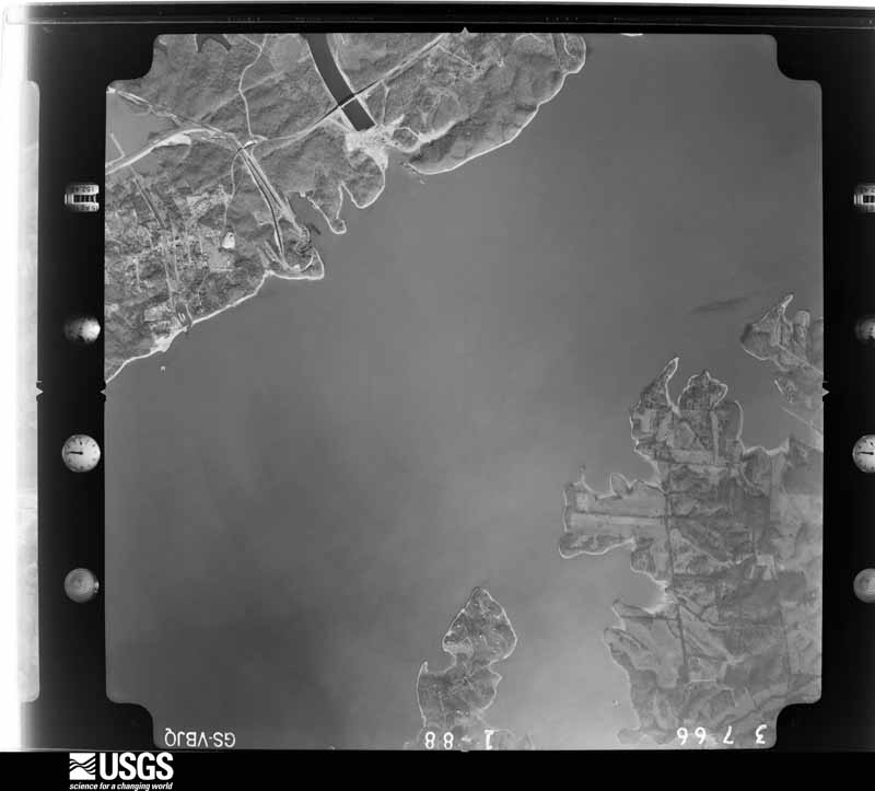
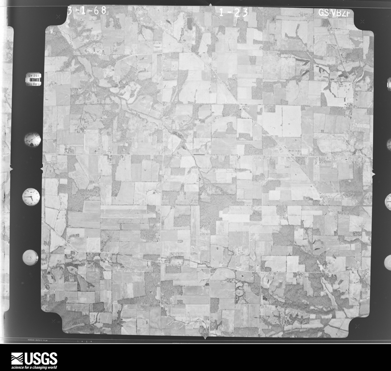
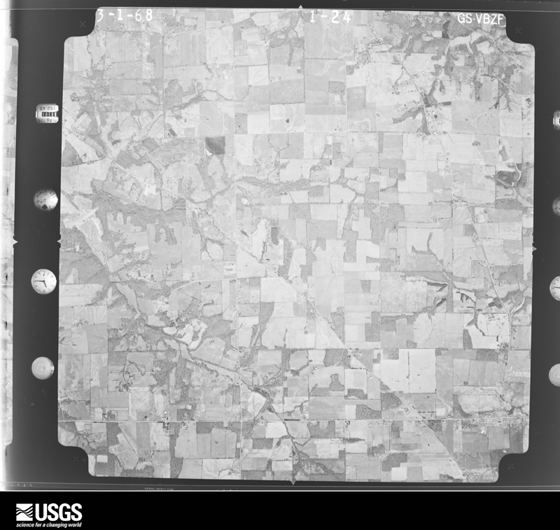
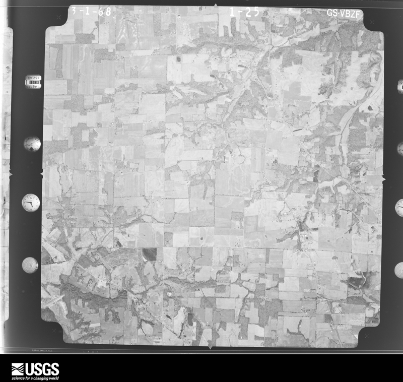
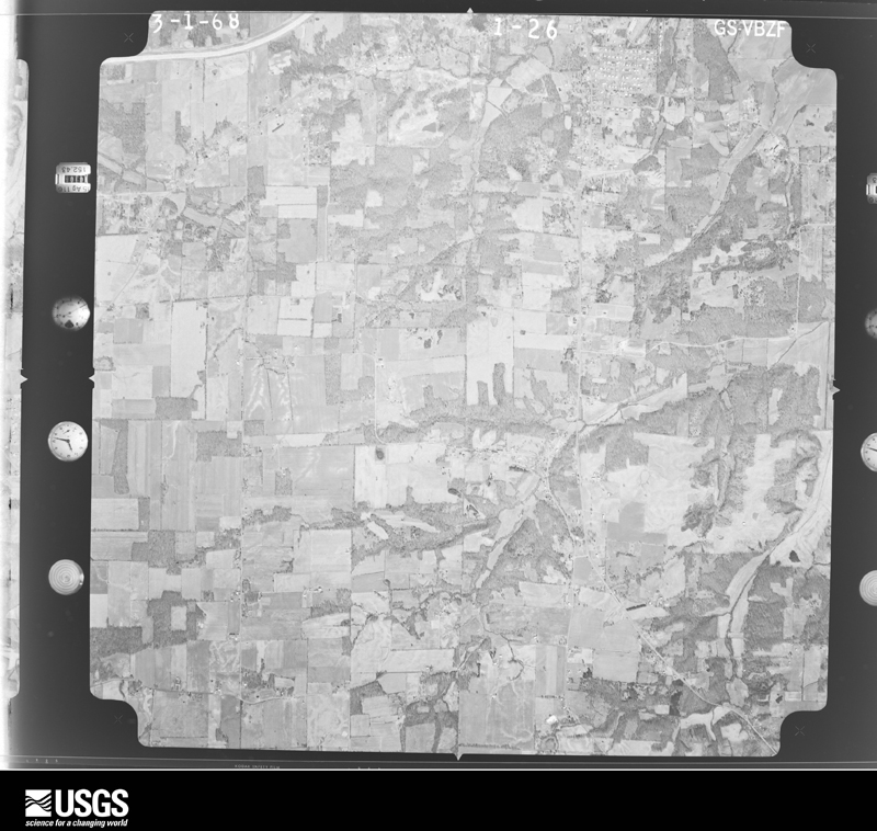
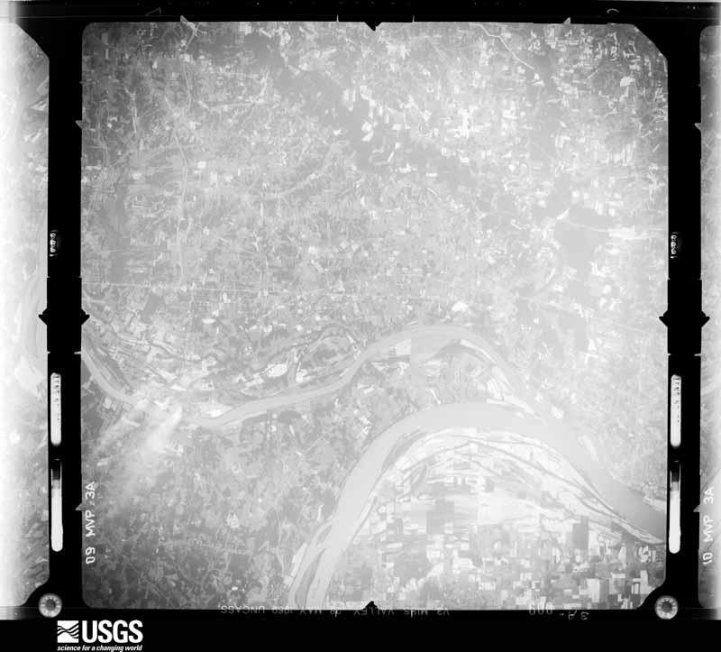
Flown by the U.S. Geological Survey between 1937 and 1989, the Aerial Photo Single Frames collection is the definitive mid-century view of the land: fields, roads and rivers as the camera saw them. The Survey holds 355 frames inside the rectangle that bounds this county; the 26 frames below were taken over the county itself, chosen across the decades of flights (at most four a year from that rectangle), so one flight cannot crowd out the rest. The full set is free to browse and download at EarthExplorer under the dataset Aerial Photo Single Frames.




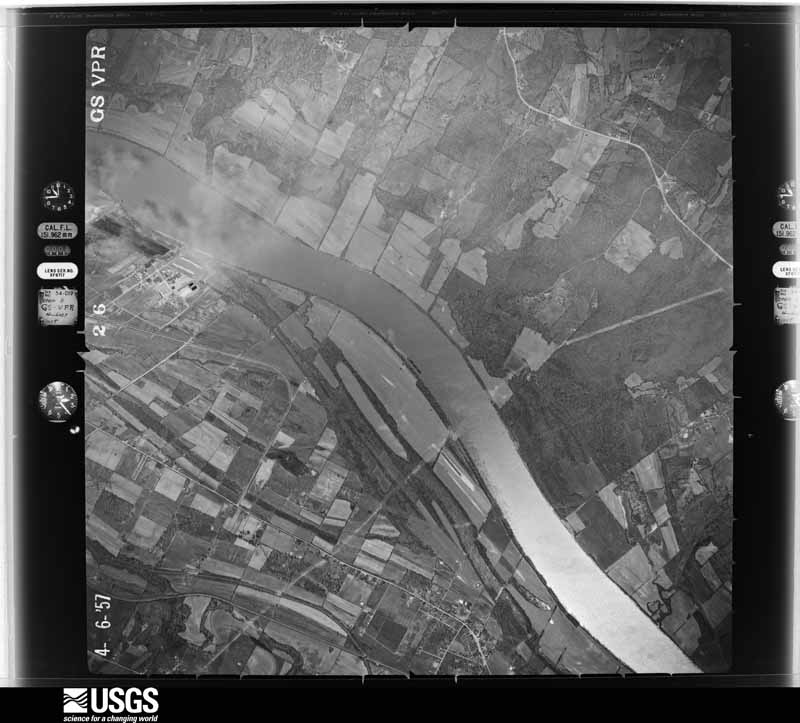
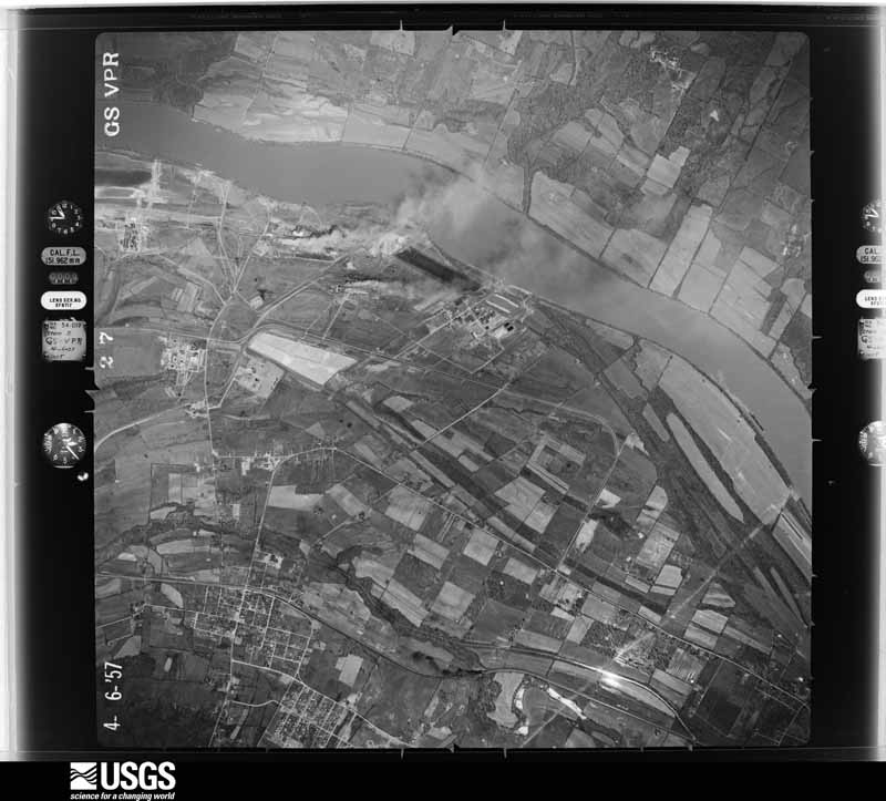
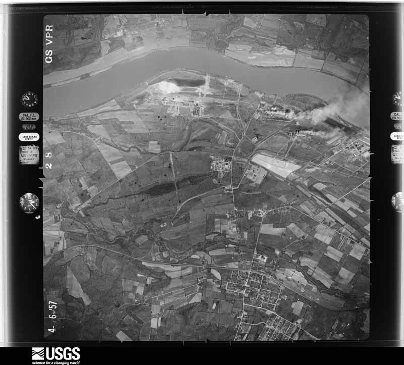
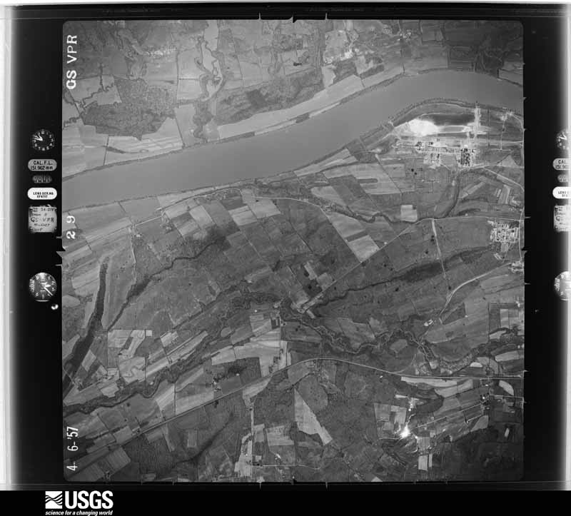








The thermometers that kept this county's weather, and the gages that measured the flow of its streams, as the federal records hold them. The extremes below are measured values from those records, not estimates.
Who lived here in 1950, one enumeration district at a time, as the Census Bureau described each district. Each row opens its official National Archives result, with Population Schedules and ED Maps available there.
Every wildfire the federal occurrence database records inside this county: 64 of them, burning about 723 acres. None started naturally and none was recorded as arson. Each settlement page carries the fires within five miles of it.
| Reported cause | Fires |
|---|---|
| Recreation and ceremony | 25 |
| Missing data/not specified/undetermined | 23 |
| Railroad operations and maintenance | 7 |
| Debris and open burning | 6 |
| Misuse of fire by a minor | 2 |
| Smoking | 1 |
The five largest, by the area the report gives. None of them was recorded as arson.
| Date | Cause | Size | Reported by | Name on the report |
|---|---|---|---|---|
| 12 November 2005 | Missing data/not specified/undetermined | 125 acres | Clark's River National Wildlife Refuge | IDLEWILD |
| 7 October 1999 | Railroad operations and maintenance | 100 acres | Kentucky Division of Forestry | not named |
| 2 March 2006 | Missing data/not specified/undetermined | 75 acres | Kentucky Division of Forestry | not named |
| 18 November 2016 | Recreation and ceremony | 60 acres | Kentucky Division of Forestry | REFUSE FIRE |
| 28 August 2007 | Railroad operations and maintenance | 40 acres | Kentucky Division of Forestry | not named |
| 1 November 2016 | Debris and open burning | 40 acres | Kentucky Division of Forestry | SWAMP FIRE |
| 12 August 1999 | Missing data/not specified/undetermined | 30 acres | Kentucky Division of Forestry | not named |
| 12 November 2005 | Missing data/not specified/undetermined | 25 acres | Kentucky Division of Forestry | not named |
Every settlement page carries the fires within five miles of it - see the settlement index below.
The NOAA Storm Events Database holds 377 reports for this county, causing 8 deaths, 116 injuries and about $30,051,000 in recorded property damage. Each settlement page carries the reports that name it.
| Kind of event | Reports |
|---|---|
| Thunderstorm Wind | 166 |
| Hail | 89 |
| Flash Flood | 38 |
| Flood | 30 |
| Tornado | 25 |
| Heavy Rain | 22 |
| Funnel Cloud | 5 |
| Lightning | 2 |
The most serious of them, by death, then injury, then recorded damage. The accounts are quoted exactly as the forecast office filed them.
| When | Event | Place named | Harm | What the report says |
|---|---|---|---|---|
| March 1964 | Tornado (F4) | not stated | 3 killed, 16 hurt, $250,000 | no account filed |
| December 2021 | Tornado (EF4) | Harvy | 1 killed, 54 hurt | This historic EF-4 tornado was associated with a very long-track supercell that originally formed over eastern Arkansas. The supercell produced a nearly continuous tornado damage path from northeast Arkansas across western Tennessee and western Kentucky. The starting point of this particular tornado was in northwest Tennessee, northwest of Union City (see Storm Data, Tennessee, Western for information on the beginning of this tornado). This tornado crossed from Graves County into Marshall County along Interstate 69 about seven miles west-southwest of Benton. The tornado widened to nearly 1.5 miles (2450 yards) soon after crossing into Marshall County. The tornado width fluctuated from 0.8 mile to nearly 1.5 miles during its trek across the county. The community most impacted was Cambridge Shores, a rather dense subdivision of vacation homes and some luxury homes on Kentucky Lake. This is the only location in Marshall County where the tornado achieved a rating of EF-4. This community was the site of the only fatalities in Marshall County. A 78-year-old female resident died in the hallway of her house. Another elderly woman died of a heart attack while trying to remove debris (indirect). There were numerous homes in Cambridge Shores that were levelled, including the loss of all walls (DI 2, DOD 9). Some homes were wiped off the foundation. Marshall County's highest wind speed estimate of 170 mph was assigned to the damage in the Cambridge Shores area. A total of 356 structures in Marshall County were destroyed or uninhabitable. Another 341 structures sustained light to moderate damage. A number of vehicles were thrown and destroyed, including some that landed in Kentucky Lake. Nearly total tree destruction was observed in the Cambridge Shores area. After crossing into Marshall County, the tornado path stayed over Interstate 69 from the county line to about three miles west of Benton. In this area a few miles west of Benton, a home was blown off its foundation and a few other homes were demolished (DI 2, DOD 9). The tornado narrowly missed the county seat of Benton, passing only a mile or two northwest of the downtown area. Where the tornado crossed U.S. 641 just north of Benton, a home was destroyed with the exception of some interior walls (DI 2, DOD 8). The tornado crossed U.S. Highway 68 about one mile southeast of the county high school, then continued on to Cambridge Shores. The tornado exited Marshall County into Lyon County over Kentucky Lake, about 1.5 miles east-northeast of Cambridge Shores. |
| November 2005 | Tornado (F3) | Brewers | 1 killed, 20 hurt, $8,000,000 | The long-track tornado entered Marshall County from extreme northwest Calloway County. As the tornado moved quickly northeast across Marshall County, it reached its peak intensity of 200 MPH as it approached the Kentucky Lake resort campgrounds and boatyards. Until the tornado reached U.S. Highway 641 south of Benton, mostly F-1 damage occurred. Garages and barns sustained varying degrees of damage, and numerous trees were down. The most serious damage, ranging up to F-3 intensity, occurred from Big Bear Highway to Moor's Resort on Kentucky Lake. The occupant of a destroyed mobile home was killed in this area. The mobile home was thrown 40 feet and overturned before catching fire. At Moor's Resort, a year-round camping area was struck directly. A total of 115 RV's were destroyed, and the campground was devastated. A dock was demolished, taking a number of boats with it. Although the harbor and campground were destroyed, cabins and other lodging facilities outside of the tornado path were untouched. The average path width of this tornado was 275 yards, but it grew to a maximum of 500 yards in Marshall County. In Marshall County, approximately 19 homes were destroyed, 36 suffered major damage, and 65 received minor damage. The tornado then moved over Kentucky Lake and crossed into Lyon County. |
| November 1951 | Tornado (F3) | not stated | 1 killed, 11 hurt, $250,000 | no account filed |
| April 1968 | Tornado (F4) | not stated | 1 killed, 5 hurt | no account filed |
| February 2020 | Flood | Gilbertsville Arpt | 1 killed | Flooding of the Tennessee River resulted in one fatality. A 37-year-old female walked into a flooded area while she was trying to reach a friend on a towboat on the water. The victim was swept off a normally dry walkway leading to the towboat. Fields, woods, and a few access roads in river bottomlands were flooded. |
| January 1999 | Thunderstorm Wind | Olive | 3 hurt, $150,000 | A National Weather Service damage survey revealed a microburst with 90 MPH winds demolished numerous barns and moved a mobile home off its foundation. Three persons were injured in the mobile home. The injuries consisted of cuts and a separated shoulder. Numerous trees were blown down. Highway 80 was closed for several hours due to trees and wires across the road. About 10,000 people were without power in southern Marshall and northern Calloway Counties due to the storms. |
| July 2002 | Thunderstorm Wind | Gilbertsville | 2 hurt, $1,000,000 | no account filed |
| June 2012 | Thunderstorm Wind | Draffenville | 2 hurt, $15,000 | At Kentucky Dam Village State Resort Park, a tree fell on a vehicle with a person inside. Minor injuries were reported. |
| June 1995 | Thunderstorm Wind | Countywide | 1 hurt, $150,000 | More than 300 calls were received by the county emergency dispatch center. Numerous trees and power lines were down. A vehicle struck a fallen tree across U.S. 641 just south of Benton. The driver was treated for her injuries at a nearby hospital. A hotel in Gilbertsville sustained damage when a glass wall surrounding the hotel's swimming pool was blown out. The pool was filled with glass, but there were no injuries. Shingles were blown off the hotel roof. Gutters and trees were strewn across the lawn. At Kentucky Dam State Resort Park, a pier broke away from the main dock and crashed into another pier. At least six boats were damaged, but none sank. Some rental cabins at the park received minor damage. Numerous residents reported trees down on their homes, vehicles, and other property. Road crews and emergency personnel spent several hours clearing roadways of downed trees. Calvert City was without power for 8 to 10 hours after the storm. A window was broken out of a business in Calvert City. |
| July 1995 | Thunderstorm Wind | Numerous Spots | 1 hurt, $100,000 | no account filed |
| February 2025 | Flood | Oak Level | 1 hurt, $10,000 | A water rescue occurred due to a four wheeler driven into floodwaters during the morning hours of the 16th. A juvenile clinging to a tree was rescued. |
| May 2003 | Hail | Calvert City | $10,000,000 | no account filed |
| July 2016 | Flash Flood | Sharpe | $2,000,000 | Widespread major flash flooding affected Marshall County, especially the northern and central parts of the county. A rainfall amount of 6.87 inches was recorded in four hours and 15 minutes at the Kentucky mesonet site in Draffenville. An off-duty meteorologist in Calvert City measured three inches of rain per hour. Multiple evacuations were conducted throughout the county by various agencies. Many roads across the county were flooded, including many main roads. At least 22 roads were washed out across the county. Residents of about 10 homes were stranded because their street was washed out. The damage to county roads alone was 600,000 dollars. A pickup truck crashed headlong into one of the washed out sections. The Purchase Parkway (future Interstate 69) was closed for a few hours due to a couple feet of water over the highway at mile-marker 46. In Calvert City, a vehicle was three-quarters full of water, and an apartment building was flooded. In Benton, 13 people were evacuated from an assisted living facility due to flooding. West of Calvert City, six people were trapped in a flooded apartment. Evacuations were conducted in Gilbertsville, where water was up to the door of a mobile home. Some rooms at a resort motel on U.S. Highway 641 near Gilbertsville were flooded. |
| February 2025 | Flood | Benton | $1,500,000 | Significant areal flooding occurred on the northern and eastern sides of the city of Benton due to the arrival of extremely high water levels on the Clarks River, which had reached record levels upstream at Almo, and accompanying branches and streams. Many businesses on the north side of town near Main Street sustained water intrusion with vast areas completely covered. Rainfall amounts were around 5 to 6.5 inches with the KY Mesonet site 4 miles north of Benton recording 6.4 inches of rain on the 15th. |
| June 2019 | Tornado (EF1) | Tatumsville | $1,000,000 | A very brief tornado with maximum estimated winds of 100 mph damaged part of a marina on Kentucky Lake. A 50-yard section of the marina was twisted and overturned. This was one of three sections that extended into Kentucky Lake. A boat that was docked in this part of the marina was lifted onto the debris. The entire marina structure was shifted several feet and pulled away from the shore, dislodging several spud poles that anchored the floating marina structure to the lake bottom. |
| June 2019 | Tornado (EF1) | Gilbertsville Arpt | $500,000 | A 50-yard wide tornado with peak winds near 110 mph snapped and uprooted trees. The tornado appeared to touch down along the edge of Kentucky Dam Village property near Golf Course Maintenance Drive. It crossed Highway 641 and created a clear path from near 641 to the marina. At the marina, two piers (which were connected to other piers as an extension) broke loose and were pushed out into the bay, dragging concrete block tie downs along the floor of the bay. These piers sustained major damage to roofs and connections between the piers. The piers which were connected to the shore were damaged, not only at the connection point between piers, but also at the connection to the shore. Electrical systems were destroyed along with gang planks between the shore and piers. There were four piers connected to the shore. The two piers that were damaged were the inside two piers, with the outside piers sustaining minor damage. |
| May 2011 | Flood | Altona | $500,000 | no account filed |
| July 2016 | Flash Flood | Scale | $400,000 | In Benton, a street was washed out, and there were numerous homes with flooded garages and basements. Most of the flooding was near creeks that run through town. South of Benton, a bridge was washed out on the northern end of Highway 783 where it crosses a creek. A 24-hour rainfall amount of 7.50 inches was reported just southeast of Benton. |
| April 1970 | Tornado (F3) | not stated | $250,000 | no account filed |
| May 2010 | Thunderstorm Wind | Fairdealing | $200,000 | A marina and campground along Kentucky Lake sustained moderate to major damage from a microburst. One houseboat sank, and several other boats were damaged. The bow of a sailboat was wedged under a dock, and a pontoon boat broke away from its slip. Three piers were heavily damaged. Roofing material was blown off a restaurant, mainly on one side of the building. The canopy of an outdoor seating area was blown down. One of the marina's gas pumps was left partially underwater. Waves estimated about five feet high caused some of the damage. The damage area was about one mile long and one-quarter mile wide. |
| July 1997 | Thunderstorm Wind | Benton | $200,000 | A microburst with wind gusts estimated near 90 MPH blew down hundreds of trees. No injuries or deaths were reported, but a dog was found dead after the storm. A farmer lost 60 acres of soybeans to wind-driven hail. The local utility company estimated between ten and twenty utility poles were destroyed. About 5,000 homes lost power in the storm. One house lost a roof. A double wide trailer blew up against another one, and a third trailer was knocked off its foundation. |
| April 2023 | Thunderstorm Wind | Calvert City | $150,000 | A weather service storm survey found straight-line wind damage occurred in and near Calvert City. Estimated peak winds were around 95 mph. One barn collapsed. Numerous homes had shingle damage. Many trees were snapped or uprooted. There was minor tree limb damage at Gilbertsville. |
| May 2009 | Flash Flood | Olive | $150,000 | Considerable flooding was reported, mostly in Benton and in southern areas of the county. Numerous homes and businesses were flooded, especially in and around Benton. A shopping plaza containing a newspaper, restaurant, and tax business was flooded with four inches of rushing water. Numerous roads were covered by water, including Highway 408. Some places in Benton were under three to four feet of water. Vehicles were half submerged in parking lots. Benton firefighters rescued numerous motorists whose vehicles stalled in floodwaters. At least two families were evacuated from flooded homes. Highway 348 outside Benton was impassable. In northwest parts of the county, a portion of Elva Road was washed out. Near Gilbertsville, a bridge on a secondary road was submerged. A co-operative observer at Aurora measured a 24-hour rainfall total of 4.34 inches. |
| May 2009 | Thunderstorm Wind | Calvert City | $150,000 | A microburst about 3 miles long and one-third of a mile wide caused extensive damage. Hundreds of tree limbs were blown down, along with numerous trees. The roof was partially off a business. Several homes sustained roof damage. Numerous sheds and carports were destroyed. |
| January 1999 | Thunderstorm Wind | Brewers | $150,000 | A National Weather Service damage survey indicated a microburst containing winds estimated near 90 MPH overturned 2 mobile homes and demolished three or four barns. |
| June 2017 | Thunderstorm Wind | Draffenville | $125,000 | A microburst with wind speeds estimated near 85 mph caused a three-mile damage path near Draffenville. A 24-by-30 foot garage was blown off its foundation, and its walls were partially caved inward. Two other garages sustained partial roof or siding loss. Siding was blown off an adjacent house. A vehicle window was broken. At least six other homes lost some shingles. Pieces of dock were blown around at a boat dock business. Several trees were uprooted. There were numerous broken limbs from dozens of trees. The damage path was up to 400 yards wide. The damage path extended from west to east, passing just south of Draffenville. The vast majority of the damage was near the intersection of U.S. Highways 68 and 641, where the garage was blown off its foundation. |
| February 2025 | Flash Flood | Benton | $100,000 | Torrential rainfall during the evening hours, following the heavy rain from the earlier round, resulted in flash flooding issues on the north and east side of Benton with multiple roads closed. Flooding issues transitioned to areal flooding overnight with the highest water levels in the town of Benton occurring the following day with the arrival of extremely high waters on the Clarks River. |
| March 2017 | Thunderstorm Wind | Calvert City | $100,000 | Widespread damaging winds were observed across northern and central Marshall County. A wind gust to 75 mph was measured by National Weather Service personnel on a hill at the interchange of I-24 and the Purchase Parkway. The roof was blown off a large metal storage shed at the Marshall County Road Department near Draffenville. Several structures sustained minor damage in Benton. Trees and power lines were down, causing power outages. Several large pine trees were toppled at a residence on U.S. Highway 68, destroying a vehicle. Wind gusts around 75 mph were estimated by a National Weather Service employee near Palma. |
| May 2025 | Thunderstorm Wind | Hardin | $90,000 | A long line of damaging straight-line winds occurred in southern Marshall County. Emergency management reported an overturned camper on Sid Darnell Road, while broadcast media reported multiple trees uprooted near the intersection of Murray Hwy and Union Hill Rd. ||An NWS damage survey found straight line thunderstorm wind damage impacted parts of southeast Marshall County, KY, on the evening of Friday, May 16, 2025. Impacted communities included Hardin, Olive, and Aurora. Estimated wind speeds were 74 to 85mph. Most damage was from scattered downed tree limbs and uprooted trees including several uprooted trees on Liberty School Rd. |
| June 2016 | Thunderstorm Wind | Oak Level | $80,000 | A microburst containing winds up to 80 mph continued eastward from Graves County to about three miles west of Benton. At least four barns or sheds were damaged or destroyed, with one collapsing to the ground along Highway 1949. Dozens of trees were uprooted or snapped. The microburst width was about one mile. |
| June 2019 | Thunderstorm Wind | Gilbertsville | $75,000 | A National Weather Service damage survey determined a microburst occurred at Kentucky Dam Village, adjacent to a short tornado track. Peak winds were estimated at 110 mph. About 75 trees were snapped or uprooted. |
| October 2014 | Tornado (EF1) | Walnut Grove | $75,000 | This tornado occurred on the south side of Benton. The tornado crossed the old two-lane U.S. Highway 641. Peak winds were estimated near 105 mph. A tire business was destroyed. A large portion of a block wall collapsed, and much of the roof was blown off. Two outbuildings sustained loss of roofing material and damage to a wall. Two homes had fascia, siding, and shingle damage. Two garages lost some shingles. Windows were cracked at a church. Several trees were snapped. The average path width was 110 yards. |
| January 2008 | Thunderstorm Wind | Calvert City | $75,000 | An empty tractor-trailer rig was blown over on a ramp from Interstate 24 to the southbound Purchase Parkway. In Benton, two large sections of roof were lifted off an antique store. Around the county, several outbuildings were destroyed, and roofs were damaged. A tree fell on a parked car between Benton and Hardin. |
| May 1995 | Thunderstorm Wind | Benton | $70,000 | About 60 homes were damaged in the storm, mostly by falling trees. |
| July 2016 | Thunderstorm Wind | Benton | $60,000 | There were scattered reports of downed trees in north central and northeast Marshall County. A wind gust to 58 mph was measured at the Kentucky mesonet site near Draffenville. Some isolated structural damage was reported in the area, mostly due to fallen trees. Several miles north of Fairdealing, trees were blown down near Kentucky Lake. |
| May 2011 | Thunderstorm Wind | Benton Arpt | $60,000 | Just off U.S. Highway 68 along Jonathan Creek, several dozen trees were uprooted. A number of structures were damaged. At least one outbuilding was severely damaged, and a porch was damaged. |
| May 2016 | Tornado (EF1) | Harvy | $50,000 | The tornado entered Marshall County from Graves County less than a mile south of where the Purchase Parkway crosses the county line. The tornado remained along the south side of the Purchase Parkway (future Interstate 69) until it lifted about four miles west-southwest of downtown Benton. The tornado was considerably weaker in the Marshall County portion of its track than in Graves County, where the tornado produced EF-3 damage. In Marshall County, a wooden barn was destroyed, and a single-wide mobile home was rolled over. However, most of the damage consisted of trees uprooted and snapped by winds between 90 and 100 mph. |
| December 2015 | Flash Flood | Harvy | $50,000 | There were numerous reports of flooded roads throughout the county, including washed out shoulders. A street in Benton was covered with fast-moving floodwaters. In a couple cases, police or fire personnel were needed to block traffic in western and northern parts of the county. A trained spotter in Benton received 1.5 inches of rain in 45 minutes. |
| June 2006 | Thunderstorm Wind | Benton | $50,000 | Numerous trees were blown down. A few of the trees landed on houses and vehicles. Some roads were blocked by trees. Kentucky Highway 58 was partially blocked by downed power lines near Benton. Power outages lasted up to 24 hours for some residents of Benton. |
| July 2006 | Thunderstorm Wind | Calvert City | $50,000 | A downburst with winds estimated near 70 MPH downed hundreds of trees and large limbs. The winds caused some minor structural damage. The damage was mostly on the north side of Calvert City. Winds on the south side of Calvert City at Interstate 24 were clocked at only 47 MPH. Fire and street department personnel were busy for several hours making streets passable. At a manufacturing plant, part of the west wall was blown out, and large roll-up doors and light panels were damaged. Power lines were down. |
| September 2006 | Flash Flood | Countywide | $50,000 | In Benton, a home was flooded, and its occupants were evacuated. Eight residents of an apartment complex in Hardin were evacuated. A vehicle stalled in high water just outside Benton. Numerous roads were flooded, and a few were closed. A few small bridges were washed out. One road washout was reported. A spotter in Benton measured 1.9 inches in one and a half hours, bringing the total to 6.65 inches. Numerous streets were flooded in Calvert City. |
| July 1997 | Thunderstorm Wind | Palma | $50,000 | A gust to 60 MPH was reported near Palma. About 100 feet of roofing was blown off the IGA store near Possum Trot. Telephone poles were down at Benton. |
| July 2023 | Flash Flood | Gilbertsville Arpt | $50,000 | no account filed |
| July 2001 | Flash Flood | Countywide | $50,000 | no account filed |
| July 1997 | Hail | Benton | $50,000 | no account filed |
| May 1996 | Thunderstorm Wind | Hardin | $50,000 | no account filed |
| May 2025 | Thunderstorm Wind | Scale | $45,000 | Straight-line winds produced damage roughly along a line west of Draffenville. Barn collapses occurred on Griggstown Rd and Foust Sledd Rd while big tree limbs were blown across roads into fields on Oak Valley Rd. |
| July 2016 | Thunderstorm Wind | Oak Level | $45,000 | Numerous trees and power lines were blown down across central and northwest parts of the county. Near Oak Level, power poles and trees were blown down. Some structural damage was reported in the Benton area. |
| June 2018 | Thunderstorm Wind | Calvert City | $40,000 | Widespread areas of wind damage occurred across the county. Numerous trees and power lines were down. Some trees fell on power lines, causing widespread power outages. About 80 percent of the city of Benton was without power. At Sharpe, a 6-foot fence panel was blown down. |
| July 2016 | Thunderstorm Wind | Fairdealing | $40,000 | A microburst with 85 mph winds struck a subdivision on Kentucky Lake. The damage area was about 0.4 mile long. A privately owned boat dock and pontoon boat were blown upside down. A couple of dozen large trees were uprooted. |
| September 2006 | Flood | Countywide | $40,000 | Flooding of the east fork of the Clarks River inundated fields and bottomlands. Roads that were closed by the river flooding included Kentucky Highways 58 and 1462 in Benton. West of Benton, a section of Highway 58 along Gibson Creek was washed out, keeping the road closed for over a month. The washout occurred where the road had been temporarily diverted while the permanent bridge was being replaced. Other road closures not related to the Clarks River included a few lightly-travelled secondary roads near Calvert City and Sharpe. The flooding was caused by rainfall of 7 to 14 inches in the watershed of the Clarks River. |
| February 1999 | Thunderstorm Wind | Calvert City | $40,000 | A wind gust to 65 MPH was measured at Calvert City. A roof was partially blown off a house. Trees and signs were down. General winds outside of thunderstorm activity gusted to 50 MPH. Showers and thunderstorms produced higher gusts between 60 and 65 MPH. |
| November 1994 | Thunderstorm Wind | not stated | $40,000 | no account filed |
| December 2013 | Thunderstorm Wind | Harvy | $38,000 | Strong damaging winds around 70 mph were observed throughout the Benton area. A wind gust to 72 mph was measured at a firefighter's home in Benton. A trained spotter on the west side of town estimated a wind gust to 65 mph. Roof damage was reported to a couple of businesses in Benton. Power lines were blown down near U.S. Highway 641. On U.S. Highway 68 northeast of Benton, large trees were blown down. |
| May 2021 | Thunderstorm Wind | Brewers | $35,000 | Several trees were blown down. The roof was blown off a shop. There was roof damage to a home. |
| October 2013 | Tornado (EF0) | Calvert City | $35,000 | This tornado occurred on the south side of Calvert City near the intersection of U.S. Highway 62 and the Purchase Parkway. Peak winds were estimated near 85 mph. Metal roofing was removed from about two-thirds of a small strip mall. There was other minor damage to structures, as well. One large tree was uprooted, and limbs were broken on several other trees. |
| June 2012 | Thunderstorm Wind | Benton | $35,000 | In and around Benton, a metal storage building was damaged. A pole barn collapsed. A structure under construction was damaged. Three trees were blown down across roads. A house porch was damaged, and two trees were uprooted. |
| October 2007 | Thunderstorm Wind | Fairdealing | $35,000 | Numerous trees were down. Several large trees were snapped off or uprooted. Most of the tree damage was in a subdivision on Kentucky Lake, where one tree fell on a house and caused significant roof damage. A shed was destroyed by a fallen tree. |
| June 2003 | Tornado (F1) | Briensburg | $35,000 | A mobile home was pushed two to three feet off its pier foundation, nearly pulling tie downs out of the ground. Part of the wooden deck with an attached metal awning was thrown 200 feet across a roadway. Another part of the deck crashed into a corner of the mobile home and a pickup truck, causing substantial damage to both. A heavy wooden shed with some heavy equipment in it was flipped over. A utility trailer was moved several feet. Deck furniture and the metal roof from a carport were blown away. A dog was injured. Peak winds were estimated near 75 MPH. The damage location was about a half mile south of the intersection of Highway 795 and Foust Sledd Road, which is less than a mile west of the Purchase Parkway. |
The Survey's mineral resources record lists 6 workings inside this county. 1 still produces and 5 are closed or unrecorded. Each settlement page carries the workings within five miles of it.
| Commodity | Workings |
|---|---|
| Clay | 3 |
| Silica | 1 |
| Chromium | 1 |
| Manganese | 1 |
| Iron | 1 |
The least common of them first, because a county's hundredth gravel pit says nothing its first ten did not.
| Where | Site | Commodity | Status | Recorded |
|---|---|---|---|---|
| (Facility) Calvert City Smelter | Chromium, Manganese | Plant | ||
| Fort Payne Chert | Silica | Prospect | ||
| Tenn Forging Steel/ Calvert City Ky | Iron | Past Producer | ||
| Briensburg Shale | Clay | Prospect | ||
| Jonathan Creek Clay | Clay | Prospect | ||
| West-Of-Highway Clay | Clay | Prospect |
Named settlements recorded in the Geographic Names Information System, each with the topographic sheets covering it. Villages, hamlets and abandoned places alike. Each is shown with the nearest named watercourse or landform and the survey quadrangle it falls on. The 1 place that was also surveyed for fire insurance comes first, with the number of atlases and photographs held for them.
Benton census division · 42025 · On Johns River · Hardin quadrangle
13 sheets, 1936 to 1986
Fire insurance: 3 atlases
Calvert City census division · 42029 · On Howard Branch · Little Cypress quadrangle
22 sheets, 1929 to 1987
Fairdealing census division · 42048 · On Terrapin Branch · Fairdealing quadrangle
13 sheets, 1936 to 1986
Calvert City census division · 42029 · On Camp Creek · Calvert City quadrangle
23 sheets, 1929 to 1993
No longer a settlement
Calvert City census division · 42044 · On Indian Camp Branch · Briensburg quadrangle
13 sheets, 1936 to 1986
Fairdealing census division · 42044 · On Malcolm Creek · Birmingham Point quadrangle
15 sheets, 1936 to 1986
Benton census division · 42054 · On Duncan Creek · Oak Level quadrangle
12 sheets, 1936 to 1986
Fairdealing census division · 42044 · On Malcolm Creek · Birmingham Point quadrangle
15 sheets, 1936 to 1986
Fairdealing census division · 42044 · On Little Bear Creek · Birmingham Point quadrangle
15 sheets, 1936 to 1986
Calvert City census division · 42029 · On Camp Creek · Calvert City quadrangle
23 sheets, 1929 to 1993
Fairdealing census division · 42044 · On Little Bear Creek · Birmingham Point quadrangle
15 sheets, 1936 to 1986
Calvert City census division · 42029 · On Camp Creek · Little Cypress quadrangle
22 sheets, 1929 to 1987
Benton census division · 42025 · On South Fork Watch Creek · Hardin quadrangle
13 sheets, 1936 to 1986
Calvert City census division · 42044 · On Old Beaver Dam Slough · Calvert City quadrangle
23 sheets, 1929 to 1993
Benton census division · 42066 · On Soldier Creek · Oak Level quadrangle
12 sheets, 1936 to 1986
Calvert City census division · 42025 · Near Hogskin Ridge · Elva quadrangle
12 sheets, 1936 to 1986
No longer a settlement
Fairdealing census division · 42025 · On Elizabeth Creek · Hardin quadrangle
13 sheets, 1936 to 1986
No longer a settlement
Benton census division · 42048 · On Ellison Creek · Hardin quadrangle
13 sheets, 1936 to 1986
Calvert City census division · 42025 · On Rinehart Branch · Elva quadrangle
12 sheets, 1936 to 1986
Benton census division · 42025 · On Patty Creek · Oak Level quadrangle
12 sheets, 1936 to 1986
Benton census division · 42025 · On Middle Fork Creek · Elva quadrangle
12 sheets, 1936 to 1986
Benton census division · 42025 · Near Stillhouse Hill · Oak Level quadrangle
12 sheets, 1936 to 1986
No longer a settlement
Fairdealing census division · 42048 · On Wades Creek · Hardin quadrangle
13 sheets, 1936 to 1986
Benton census division · 42025 · On Myers Creek · Hardin quadrangle
13 sheets, 1936 to 1986
No longer a settlement
Calvert City census division · 42044 · On Little Bear Creek · Birmingham Point quadrangle
15 sheets, 1936 to 1986
Calvert City census division · 42029 · On Barrett Branch · Little Cypress quadrangle
22 sheets, 1929 to 1987
Calvert City census division · 42044 · On Stice Creek · Briensburg quadrangle
13 sheets, 1936 to 1986
No longer a settlement
Calvert City census division · 42029 · Briensburg quadrangle
13 sheets, 1936 to 1986
No longer a settlement
Fairdealing census division · 42044 · On Little Bear Creek · Birmingham Point quadrangle
15 sheets, 1936 to 1986
Benton census division · 42025 · On Little Bee Creek · Oak Level quadrangle
12 sheets, 1936 to 1986
No longer a settlement
Benton census division · 42025 · On Myers Creek · Hardin quadrangle
13 sheets, 1936 to 1986
No longer a settlement
Benton census division · 42025 · On Oak Level Branch · Oak Level quadrangle
12 sheets, 1936 to 1986
Fairdealing census division · 42025 · Near Chestnut Hill · Hardin quadrangle
13 sheets, 1936 to 1986
Benton census division · 42025 · Near Waller Hill · Oak Level quadrangle
12 sheets, 1936 to 1986
No longer a settlement
Calvert City census division · 42025 · On Barrett Branch · Little Cypress quadrangle
22 sheets, 1929 to 1987
Calvert City census division · 42025 · On Bloodyshin Creek · Briensburg quadrangle
13 sheets, 1936 to 1986
No longer a settlement
Calvert City census division · 42025 · On Bee Creek · Briensburg quadrangle
13 sheets, 1936 to 1986
Calvert City census division · 42025 · On Rinehart Branch · Elva quadrangle
12 sheets, 1936 to 1986
Fairdealing census division · 42044 · On Bear Creek · Birmingham Point quadrangle
15 sheets, 1936 to 1986
Calvert City census division · 42025 · On Bloodyshin Creek · Briensburg quadrangle
13 sheets, 1936 to 1986
Fairdealing census division · 42044 · On Bear Creek · Birmingham Point quadrangle
15 sheets, 1936 to 1986
Benton census division · 42025 · On Ellison Creek · Hardin quadrangle
13 sheets, 1936 to 1986
No longer a settlement
Fairdealing census division · 42025 · On Billie Branch · Fairdealing quadrangle
13 sheets, 1936 to 1986
No longer a settlement
Fairdealing census division · 42048 · On McClain Branch · Fairdealing quadrangle
13 sheets, 1936 to 1986
Benton census division · 42025 · On Smith Creek · Oak Level quadrangle
12 sheets, 1936 to 1986
No longer a settlement
Benton census division · 42025 · On South Fork Watch Creek · Hardin quadrangle
13 sheets, 1936 to 1986
Benton census division · 42025 · On Woodall Branch · Oak Level quadrangle
12 sheets, 1936 to 1986
No longer a settlement
Benton census division · 42025 · Hardin quadrangle
13 sheets, 1936 to 1986
No longer a settlement
The vanished settlements of Marshall County: the places named above that are no longer on the map.
13 topographic sheets and 3 fire insurance atlases, 1915 to 1941