 Block
From the record
12 National Register listings published here.
Sources: the National Register database, National Park Service
96 topographic sheets cover 40 settlements here, and 12 properties are on the National Register of Historic Places.
12 National Register listings published here.
Sources: the National Register database, National Park Service
Taken for the Office of War Information and the Farm Security Administration, who photographed the country between 1935 and 1944. Works of United States government photographers, with no known restriction on use. Each opens its catalogue record.
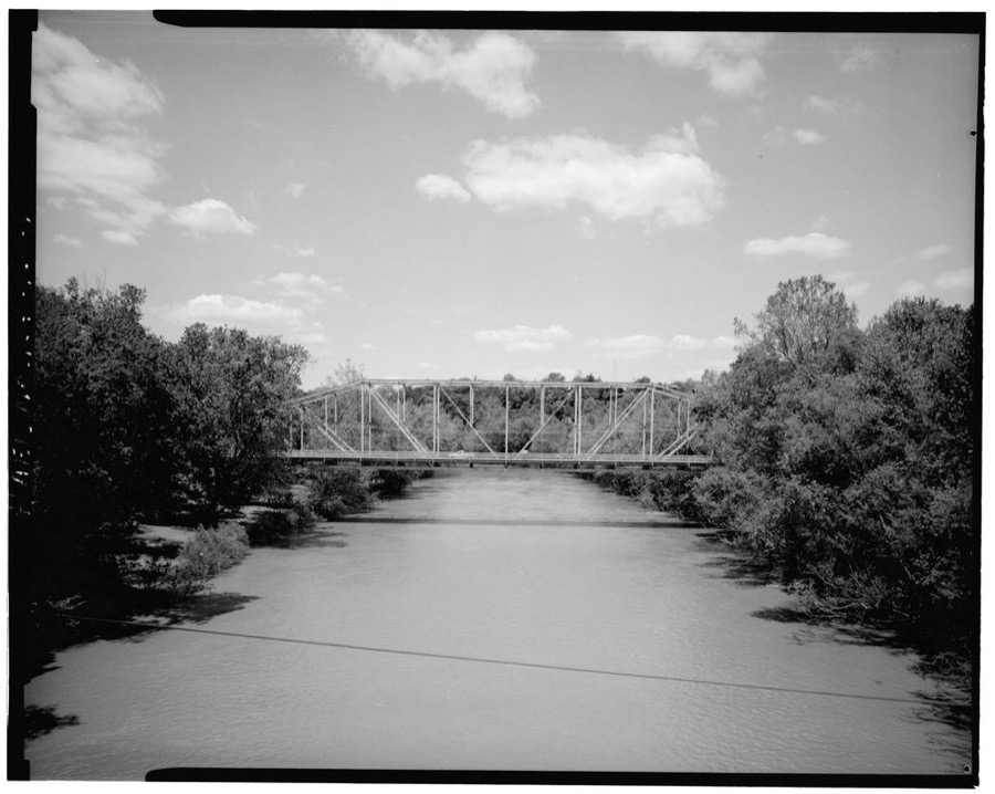
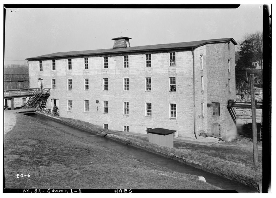
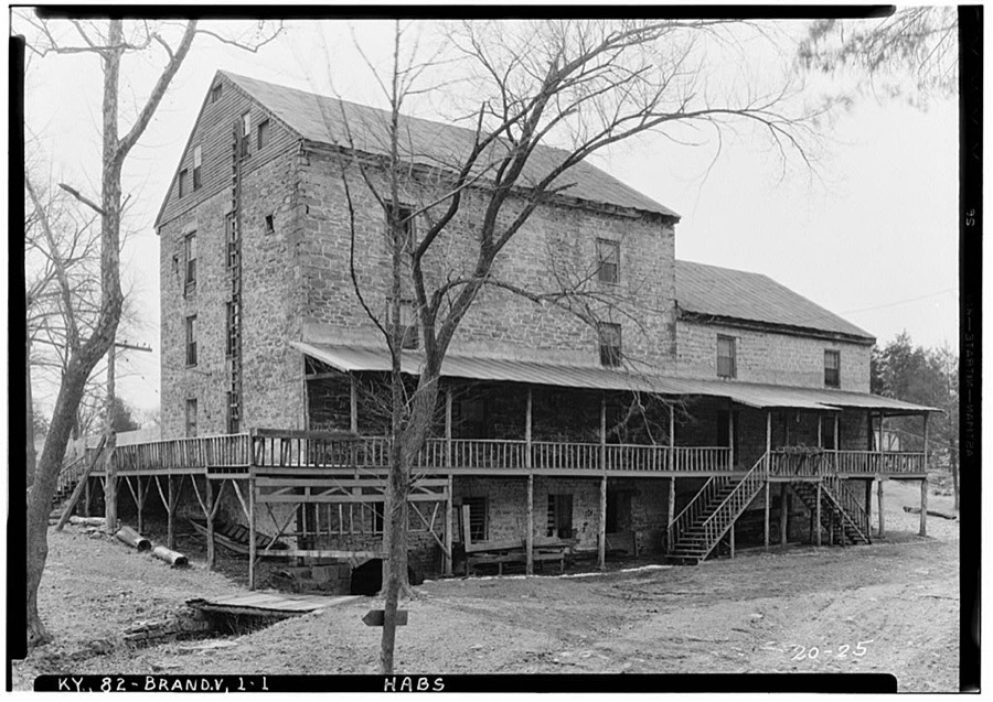
Every property in this county listed on the National Register of Historic Places, with the year it was listed and the federal nomination document.
| Photograph | Property | Type | Listed | Reference |
|---|---|---|---|---|
| Brandenburg Commercial District | district | 1986 | 86000523 | |
 | Brandenburg Methodist Episcopal Church | building | 1984 | 84001828 |
| Clarkson House | building | 1983 | 83002825 | |
 | Doe Run Creek Historic District | district | 1978 | 78001386 |
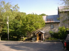 | Doe Run Mill | building | 1987 | 87002053 |
 | Goff-Baskett House | building | 1984 | 84001832 |
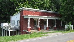 | Jones-Willis House | building | 1984 | 84001835 |
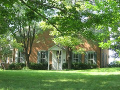 | Meade County Clerk Office-Rankin House | building | 1984 | 84001836 |
 | Meade County Jail | building | 1984 | 84001837 |
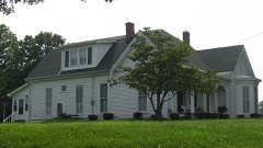 | Richardson House | building | 1984 | 84001838 |
| St. Theresa Roman Catholic Church | building | 1977 | 77000635 | |
 | Edward Yeakel House | building | 1984 | 84001839 |
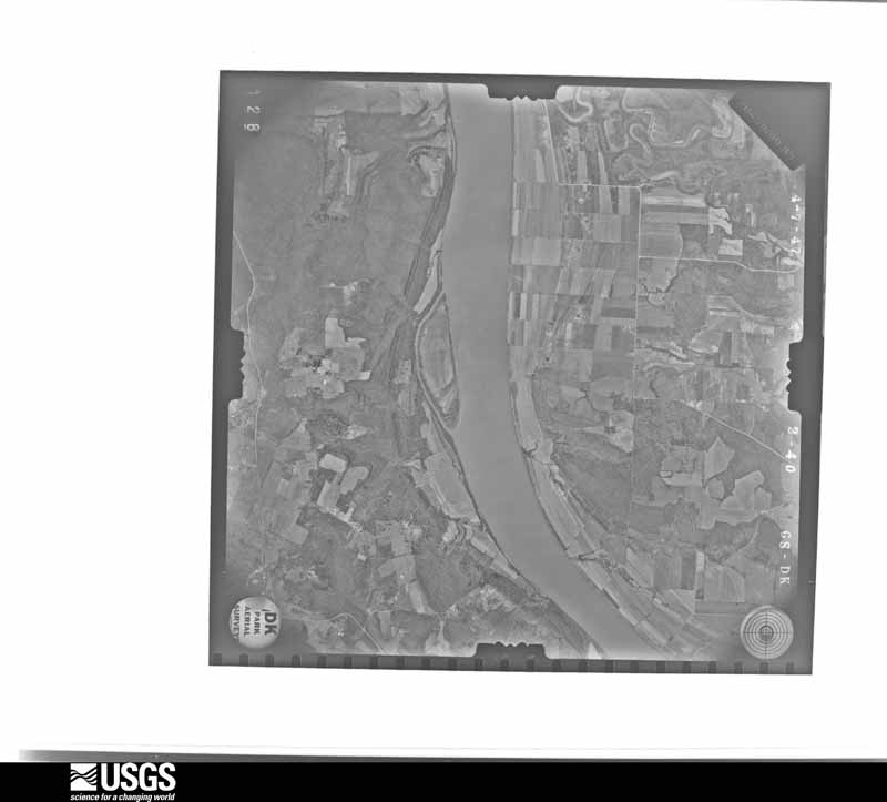
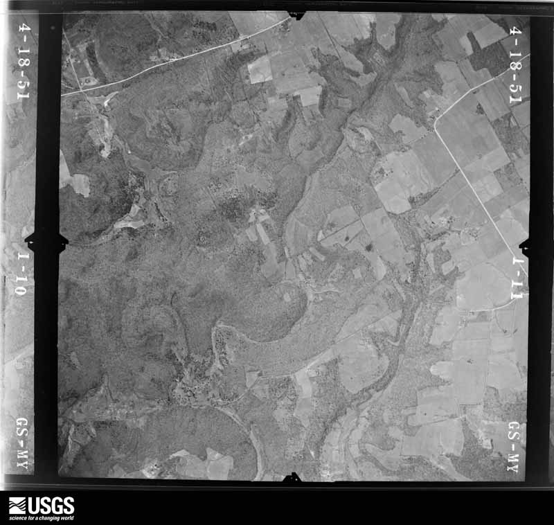
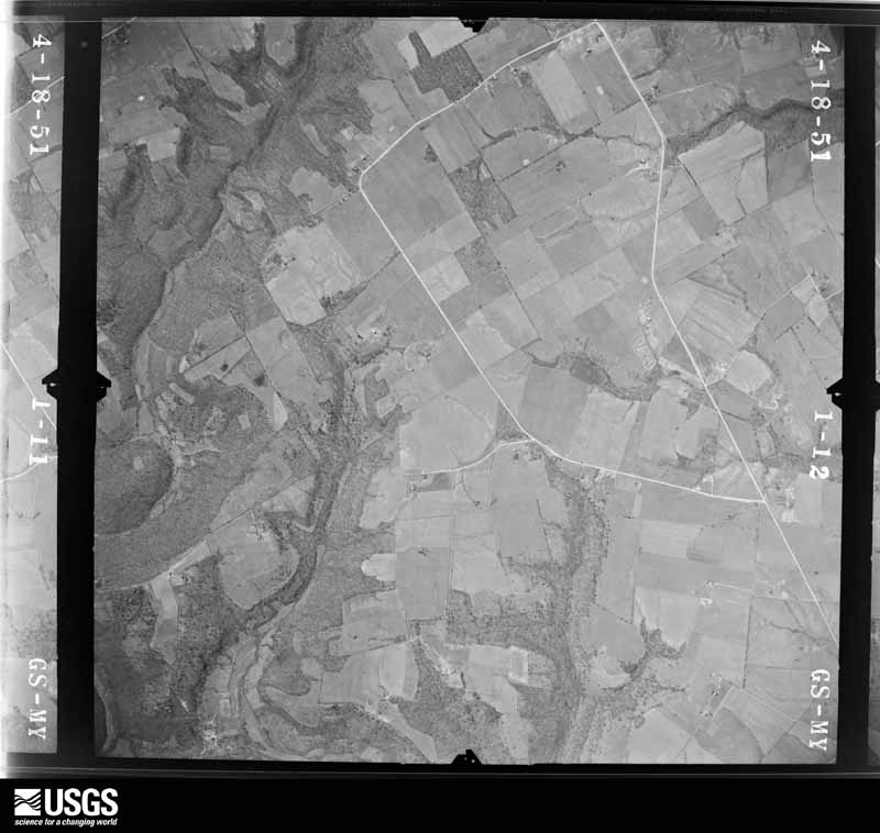
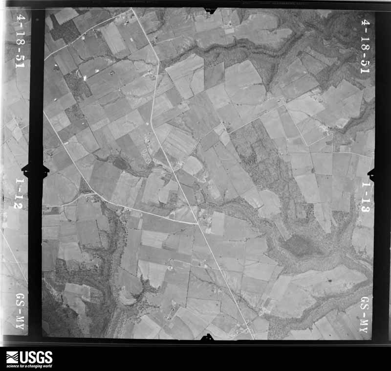
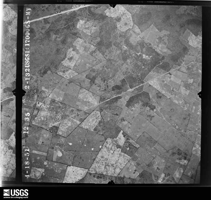
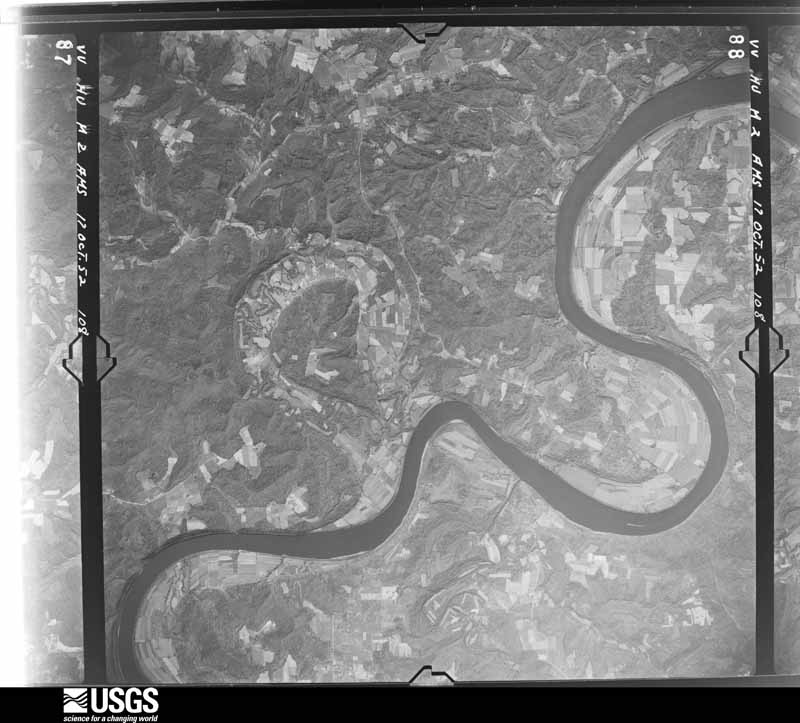
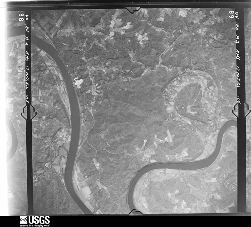
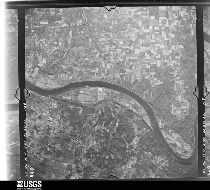
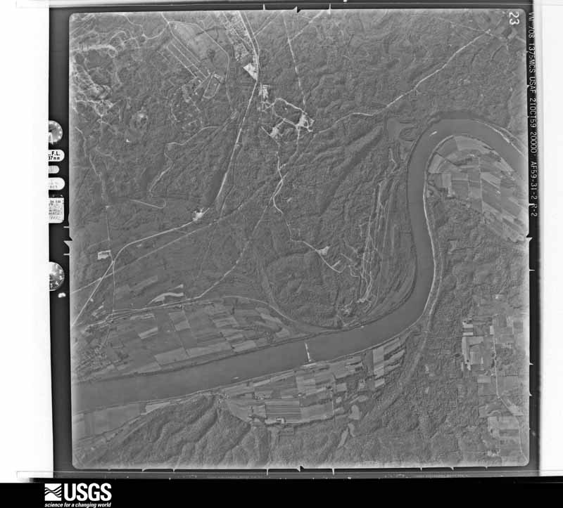
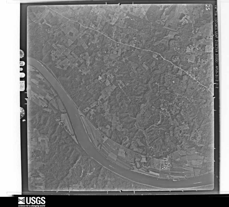
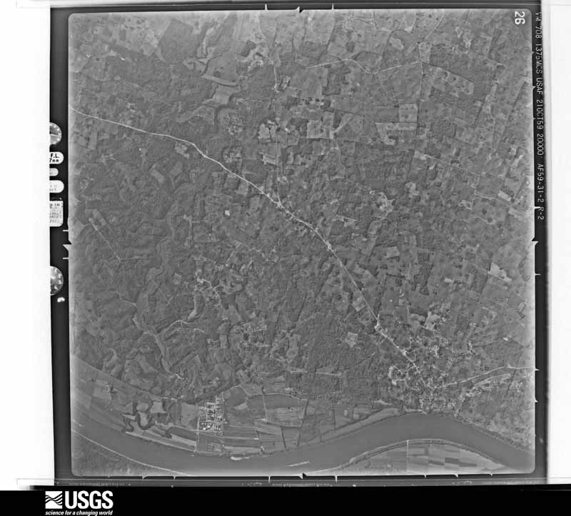
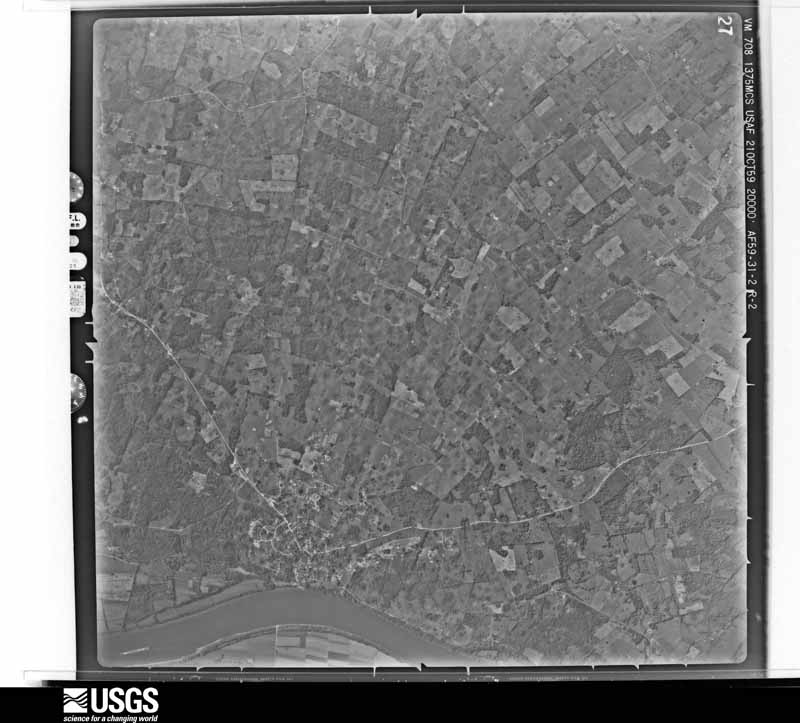
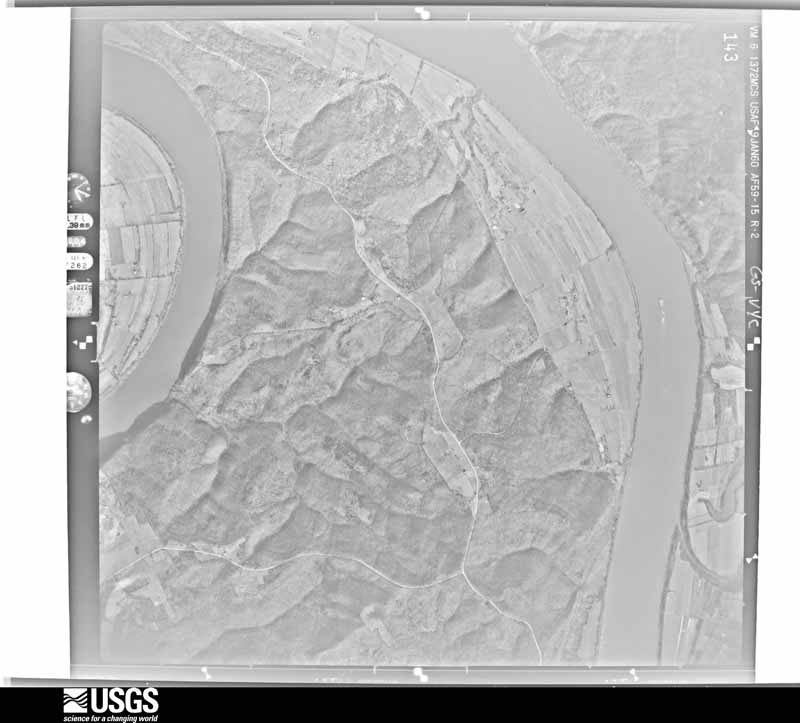
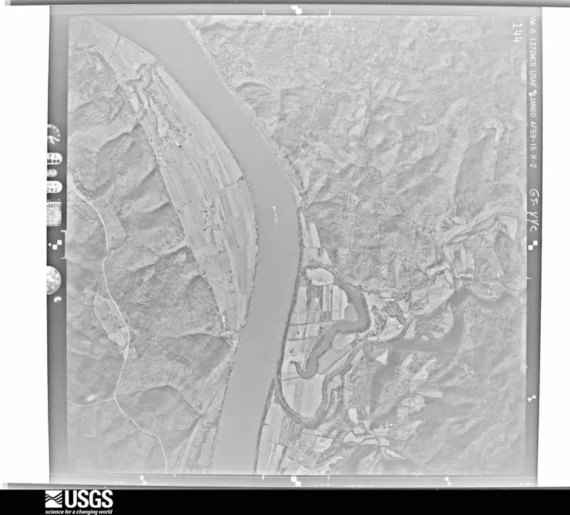
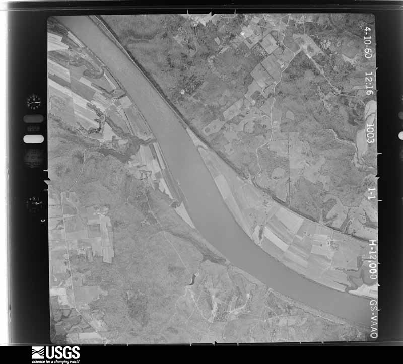
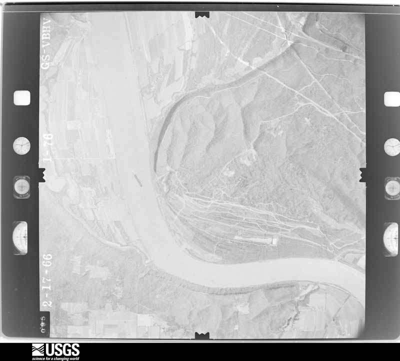
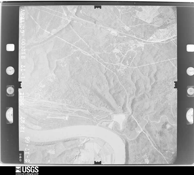
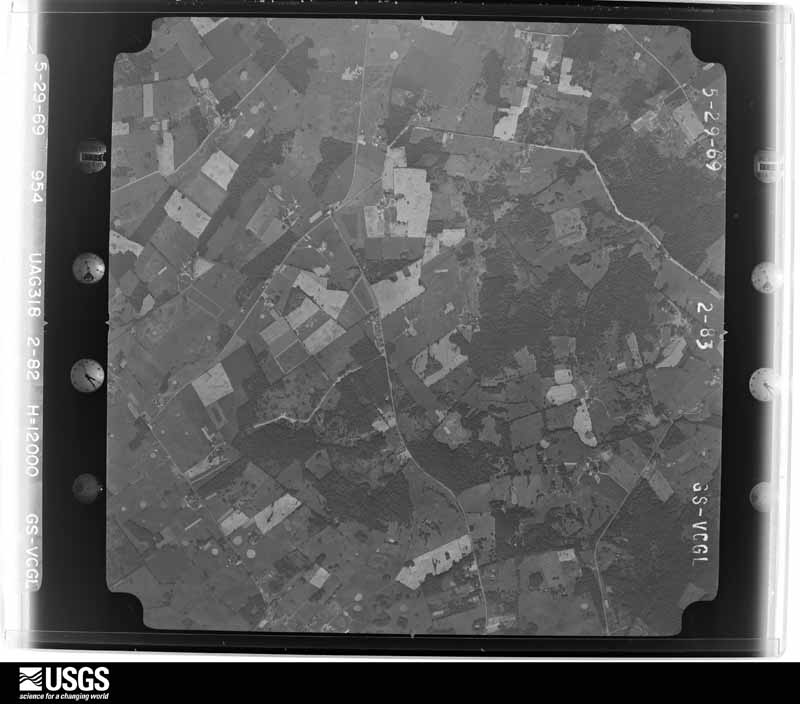
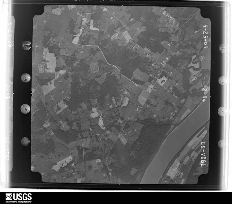
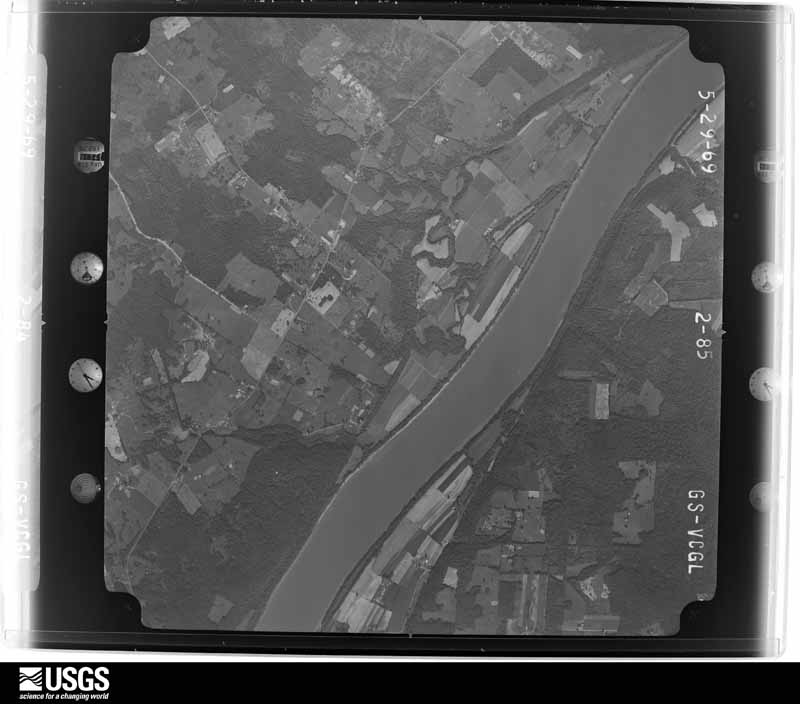
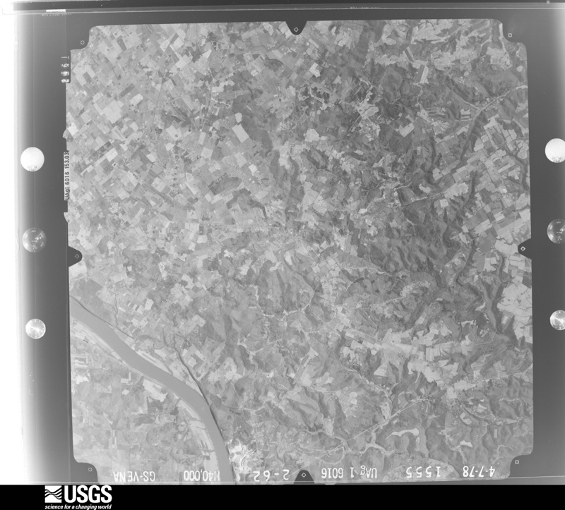
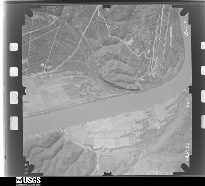
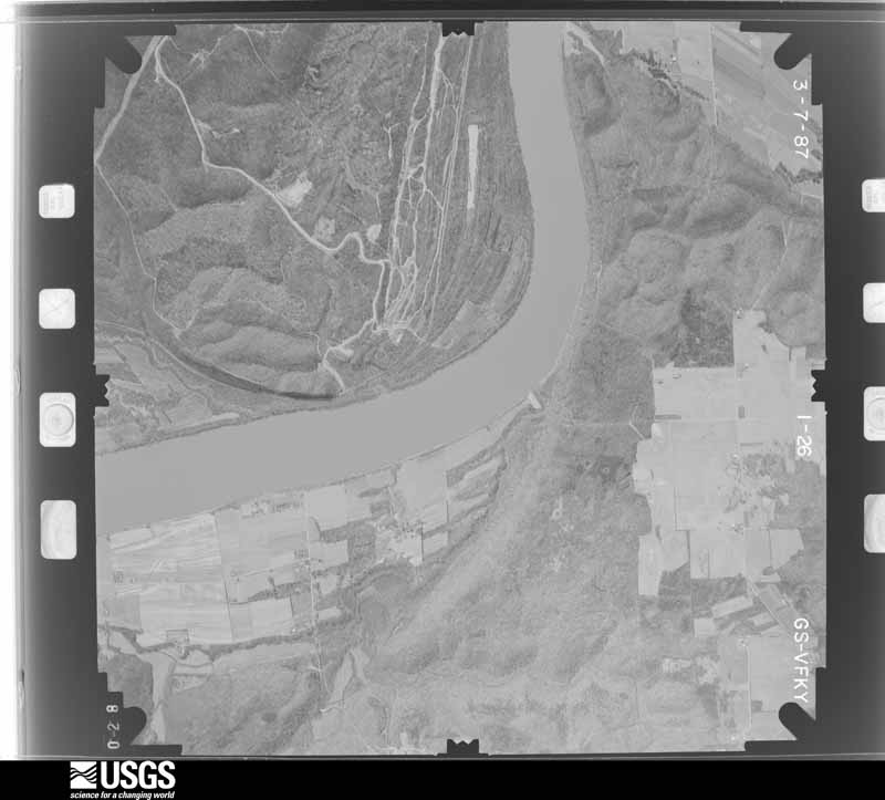
Flown by the U.S. Geological Survey between 1937 and 1989, the Aerial Photo Single Frames collection is the definitive mid-century view of the land: fields, roads and rivers as the camera saw them. The Survey holds 946 frames inside the rectangle that bounds this county; the 37 frames below were taken over the county itself, chosen across the decades of flights (at most four a year from that rectangle), so one flight cannot crowd out the rest. The full set is free to browse and download at EarthExplorer under the dataset Aerial Photo Single Frames.














The thermometers that kept this county's weather, and the gages that measured the flow of its streams, as the federal records hold them. The extremes below are measured values from those records, not estimates.
Who lived here in 1950, one enumeration district at a time, as the Census Bureau described each district. Each row opens its official National Archives result, with Population Schedules and ED Maps available there.
Every wildfire the federal occurrence database records inside this county: 59 of them, burning about 360 acres. None started naturally and none was recorded as arson. Each settlement page carries the fires within five miles of it.
| Reported cause | Fires |
|---|---|
| Recreation and ceremony | 26 |
| Missing data/not specified/undetermined | 21 |
| Railroad operations and maintenance | 6 |
| Debris and open burning | 3 |
| Equipment and vehicle use | 2 |
| Misuse of fire by a minor | 1 |
The five largest, by the area the report gives. None of them was recorded as arson.
| Date | Cause | Size | Reported by | Name on the report |
|---|---|---|---|---|
| 7 November 2009 | Railroad operations and maintenance | 50 acres | Kentucky Division of Forestry | not named |
| 11 April 2006 | Missing data/not specified/undetermined | 40 acres | Kentucky Division of Forestry | not named |
| 7 March 2000 | Debris and open burning | 30 acres | Kentucky Division of Forestry | not named |
| 11 March 2014 | Recreation and ceremony | 25 acres | Kentucky Division of Forestry | ROLLING ACRES |
| 31 March 1998 | Recreation and ceremony | 25 acres | Kentucky Division of Forestry | not named |
| 4 March 2009 | Recreation and ceremony | 20 acres | Kentucky Division of Forestry | not named |
| 7 March 2009 | Recreation and ceremony | 20 acres | Kentucky Division of Forestry | not named |
| 18 March 2011 | Railroad operations and maintenance | 12 acres | Kentucky Division of Forestry | CEMEX FIRE |
Every settlement page carries the fires within five miles of it - see the settlement index below.
The NOAA Storm Events Database holds 278 reports for this county, causing 31 deaths, 293 injuries and about $6,014,000 in recorded property damage. Each settlement page carries the reports that name it.
| Kind of event | Reports |
|---|---|
| Thunderstorm Wind | 174 |
| Hail | 60 |
| Flash Flood | 20 |
| Tornado | 17 |
| Flood | 6 |
| Heavy Rain | 1 |
The most serious of them, by death, then injury, then recorded damage. The accounts are quoted exactly as the forecast office filed them.
| When | Event | Place named | Harm | What the report says |
|---|---|---|---|---|
| April 1974 | Tornado (F5) | not stated | 31 killed, 257 hurt, $2,500,000 | no account filed |
| May 1995 | Thunderstorm Wind | Flaherty | 18 hurt | Mobile home park received substantial damage. Medical assistance was requested from surrounding counties for injuries. A total of 18 minor injuries was reported across the county. The total damage included a destroyed church and 656 damaged homes and businesses. The damage was attributed to downburst winds up to 120 mph with embedded weak F1 tornadoes not out of the question. |
| May 1996 | Tornado (F1) | Ekron | 10 hurt, $500,000 | no account filed |
| February 1999 | Thunderstorm Wind | Brandenburg | 3 hurt, $30,000 | Two trailers were destroyed, and 4 were damaged. Trees and power lines downed. |
| November 1989 | Thunderstorm Wind | not stated | 3 hurt | no account filed |
| November 2017 | Tornado (EF1) | Haysville | 1 hurt, $200,000 | The tornado touched down just inside the Breckinridge-Meade County line north of Irvington. It pushed a large tobacco barn 15 feet eastward, tore off its roof, and collapsed several walls. Debris from the barn was scattered over a half mile downwind. The tornado moved east-northeast, skipping along a wooded |area where several trees were snapped or uprooted, then hit a mobile home on Fackler Road, rolling the anchored unit several times, destroying the home. The owner sustained only minor injuries as he |rolled over with his house, crawling out of a hole after it settled. A garage on the property was also destroyed. The tornado continued skipping along the northwest side of Sandy Hill Rd, damaging |outbuildings on another farm, before crossing KY highway 261 at Guston Rd. A split level home on Guston Rd had part of its roof removed, with insulation spattered on the lee side of the home. An occupant |of the home reported he was descending the stairs as the roof was torn off, and was briefly drawn up the stairs as it occurred. Debris from the split level home was dropped across the road, where a few more trees were snapped and uprooted. The tornado then flattened a fence and peeled a section of sheet metal on an outbuilding before lifting. The NWS thanks Meade County EMA and Remote Aerial for their assistance in |this damage survey. |
| October 2007 | Thunderstorm Wind | Flaherty | 1 hurt, $10,000 | A tree was blown on to a house. One person was injured. |
| February 2008 | Tornado (EF1) | Sirocco | $2,000,000 | The tornado caused extensive tree and power line damage near Happy Ridge Road, Wood Dale Road, and Maple Grove Drive. Several businesses were damaged in the Broadway and Lakeview Drive area. A cinder block storage building was toppled. The tornado knocked down the exterior wall of another building. A storage building was lifted up and thrown across Broadway. The Old Brandenburg Telephone Company Office had roof damage. A church was damaged near the intersection of Broadway and Highway 933. |
| January 2008 | Thunderstorm Wind | Wolf Creek | $200,000 | Six barns were damaged by thunderstorm winds. Out of that number, two were destroyed. |
| April 2015 | Thunderstorm Wind | Concordia | $100,000 | An NWS team storm survey found that straight line winds of 75 to 80 mph caused damage east of Concordia, including downed trees and structural damage. |
| March 2002 | Hail | Doe Vly Estates | $100,000 | Roofs were destroyed, siding on homes was destroyed, windows were shattered, gutters and vehicles were dented. The ground was covered by golfball size hail. |
| January 2013 | Tornado (EF0) | Buck Grove | $50,000 | A storm survey revealed that an EF-0 tornado with estimated 80 mph winds and a width of 200 yards struck Meade County around 5.7 miles southeast of Brandenburg. Initially, this tornado touched down in a grove of trees near the end of Kurtz Drive. It then damaged several homes on Kurtz Drive and near the intersection of Thornhill Drive and Gaines Road. One owner of a home east of Gaines Road mentioned that water was evacuated from all 4 toilets as the tornado passed by. Local residents reported a loud roar. Another home along Gaines Road has its front door pulled off. Before lifting right off Tom Cain Road, the tornado damaged a small shed. |
| May 1995 | Thunderstorm Wind | Brandenburg | $50,000 | Trees and power lines down. Mobile home off its foundation. Relayed by Department of Emergency Service. |
| June 1998 | Thunderstorm Wind | Flaherty | $50,000 | no account filed |
| May 2012 | Thunderstorm Wind | Sirocco | $25,000 | A spotter reported that trees had fallen on two homes near the intersection of Kentucky State Highway 144 and Sirocco Road. He mentioned that two barns were damaged as well. |
| July 1988 | Tornado (F1) | not stated | $25,000 | no account filed |
| June 1987 | Tornado (F1) | not stated | $25,000 | no account filed |
| November 2017 | Thunderstorm Wind | Guston | $20,000 | Trained spotters reported home damage due to severe thunderstorm winds. |
| October 2007 | Tornado (EF1) | Flaherty | $20,000 | The tornado touched down a mile north northwest of Flaherty, and lifted near Camp Carlson in the southern portion of Fort Knox. Damage from the tornado was consistent with an EF-1 tornado. Most of the damage was concentrated near the intersection of U.S. 60 and County Road 1882. The Rock Inn sustained roof damage, and a service station canopy was knocked over. The tornado also uprooted large trees along the damage path. |
| September 2018 | Thunderstorm Wind | Andyville | $15,000 | Law enforcement reported a power line down near Concordia. |
| July 2018 | Thunderstorm Wind | Brandenburg Station | $15,000 | A tree blew down knocking out power to several in the area. |
| May 2019 | Thunderstorm Wind | Ekron | $10,000 | Power lines were reported down. |
| June 2015 | Thunderstorm Wind | Garrett | $10,000 | A Meade County official reported that trees and power lines were down east and and southeast of Ekron. |
| July 2012 | Thunderstorm Wind | Flaherty | $10,000 | The Flaherty fire department reported a tree that fell on a home. |
| June 2005 | Thunderstorm Wind | Muldraugh | $10,000 | Trees and power lines were blown down. One tree was blown on to a mobile home. There was other unspecified building damage. |
| March 2002 | Hail | Brandenburg | $10,000 | Vehicles were damaged by large hail. |
| May 2004 | Thunderstorm Wind | Brandenburg | $7,000 | A semi trailer was blown over. Also many trees were downed. |
| April 2016 | Thunderstorm Wind | Brandenburg | $5,000 | A Meade County official reported trees and power lines down in the area. |
| October 2007 | Thunderstorm Wind | Battletown | $5,000 | A building along Big Bend Road sustained roof damage. Several trees were downed. |
| November 1993 | Thunderstorm Wind | not stated | $5,000 | Several large trees were blown down just east of Brandenburg. |
| June 2015 | Thunderstorm Wind | Garrett | $3,000 | A Kentucky state official reported that power lines were down due to severe thunderstorm winds. |
| March 2012 | Tornado (EF0) | Guston | $2,000 | This weak EF-0 tornado was photographed from Ekron, looking southwestward. It touched down around 1 mile west of the intersection of Routes 60 and 428. It blew out a porch off the side of a house and damaged a sign of a business along Route 60. Damage was consistent with 75 mph winds. |
| June 2015 | Thunderstorm Wind | Flaherty | $1,000 | The Meade County emergency manager reported power lines down on Saint Martin Road near Flaherty. |
| June 2015 | Thunderstorm Wind | Rock Haven | $1,000 | The Meade County emergency manager reported that power lines were down on Rock Ridge Road due to severe thunderstorm winds. |
| March 2026 | Tornado (EF1) | Flaherty | - | The tornado crossed into Meade County near Rineyville Rd. A bigger tree fell onto a house in the Country Ct area. The tornado took a leftward turn, heading north, mimicking a turn in the tight mesovortex seen on radar imagery. It caused damage at the Meade County Bank near the intersection of Flaherty Rd and Joe Prather Hwy. Damage was observed to trees and some houses along Camelot Drive and Rabbit Run Road. The tornado continued across fields and did extensive damage to a farm beside Fort Avenue. Multiple farm buildings were significantly damaged with roofs lofted across Rabbit Run Rd east of Fort Avenue, where the damage appeared to end. |
| March 2026 | Thunderstorm Wind | Flaherty | - | Entering into Meade County, the emergency manager noted a tree came down across the road, pulling a power line down with it, along Vowels Pl. Additional tree damage was |noted along Rolling Hills Road and then further extensive damage to a farm along Fort Ave. This is the approximate end point of stronger wind damage. KLVX velocity data showed a quick weakening trend in those stronger velocities even at higher tilts. The winds likely remained stronger downstream of the damage but did not cause as widespread of damage. |
| March 2025 | Tornado (EF1) | Flaherty | - | The National Weather Service conducted a storm survey in Meade and Hardin County, near the communities of Flaherty and Radcliff, and determined an EF-1 tornado with maximum winds of 100 mph occurred the evening of March 30th, 2025. The tornado had a path length of 7.21 miles and a width of 50 yards. ||The first damage to be observed was just south of Flaherty Elementary school to a farm outbuilding where major roof loss was observed. A nearby residence also had roof damage occur. The tornado continued across Flaherty Road and Joe Prather Highway |damaging several trees along the way near Rabbit Run Road. The tornado continued across rural sections of Meade County before striking a residence and a garage. The roof lifted over the house and landed about 100 yards away. Siding and tree damage indicated several different directions, indicative of rotation. ||The tornado continued along Rogers Lake Road with several trees in different directions, continuing to indicate the rotational damage of the tornado. The damage continued into Hardin County. |
| March 2025 | Thunderstorm Wind | Payneville | - | A new porch was thrown into a tree, and a chicken coop was thrown about 100 yards. |
| March 2025 | Thunderstorm Wind | Lodale | - | Two buildings sustained wind damage on Crosier Bottom Road. |
| March 2025 | Tornado (EF1) | Sirocco | - | The National Weather Service surveyed a long-track EF-1 tornado that moved from Midway through the north side of Fort Knox and then ended just west of the Clermont exit on I-65. Numerous trees were downed or snapped along the damage path, which ran a little over 30 miles and was on the ground a little over 30 minutes. ||The most notable damage along the path in Meade County was at several properties along D E Brown Road, Otter Creek Park, and YMCA Camp Piomingo. |
| March 2025 | Thunderstorm Wind | Brandenburg | - | A business sign was blown down by strong winds. |
| March 2025 | Thunderstorm Wind | Brandenburg Station | - | Power lines were down on Thornhills Lane. |
| March 2025 | Hail | Brandenburg | - | Half dollar sized hail was observed in Brandenburg. |
| March 2025 | Thunderstorm Wind | Brandenburg | - | Wind gust was measured by the mesonet. |
| March 2025 | Hail | Wolf Creek | - | Golf ball sized hail was observed. |
| March 2025 | Thunderstorm Wind | Garrett | - | Wind gust was measured by the mesonet. |
| March 2025 | Thunderstorm Wind | Midway | - | A 60 mph wind gust was measured at the Meade County Kentucky Mesonet station. |
| March 2025 | Hail | Rhodelia | - | Between nickel and dime sized hail was observed at the Rhodelia Volunteer Fire Department. |
| March 2025 | Hail | Midway | - | At least quarter sized hail was observed along Sandy Hill Road. |
| May 2025 | Thunderstorm Wind | Andyville | - | A tree was blown down across Rhodelia Road. |
| May 2025 | Thunderstorm Wind | Payneville | - | A tree was blown down near the intersection of Kentucky Route 376 and New State Road. |
| May 2025 | Thunderstorm Wind | Buck Grove | - | A large tree was blown down near the intersection of Dave Smith Road and Sunny Lane. |
| April 2025 | Thunderstorm Wind | Ekron | - | A pillar was knocked off of a front porch, and a shed was moved of its foundation. |
| April 2025 | Thunderstorm Wind | Ekron | - | A tree was blocking two lanes of the road near Farris Road and Shumate Road Crossing. |
| April 2025 | Thunderstorm Wind | Ekron | - | Trees were down on the 600 block of Smith Road, McCoy Road, and Bright Lane. |
| April 2025 | Thunderstorm Wind | Midway | - | A tree was blocking an unknown roadway. |
| June 2025 | Thunderstorm Wind | Flaherty | - | A tree was blown down across Coleman Road by strong thunderstorm winds. The fallen tree brought down power lines in the area. |
| April 2025 | Flash Flood | Flaherty | - | Water was moving swiftly across the intersection of Country Court and Gardener Drive. |
| April 2025 | Flash Flood | Flaherty | - | An unknown road was impassable due to flooding. |
| April 2025 | Flash Flood | Hillgrove | - | US 60 was flooded near Shumate Road. |
The Survey's mineral resources record lists 5 workings inside this county. 3 still produce and 2 are closed or unrecorded. Each settlement page carries the workings within five miles of it.
| Commodity | Workings |
|---|---|
| Stone, Crushed/Broken | 3 |
| Clay | 1 |
| Silica | 1 |
The least common of them first, because a county's hundredth gravel pit says nothing its first ten did not.
| Where | Site | Commodity | Status | Recorded |
|---|---|---|---|---|
| Flaherty-Otter Creek Sandstone Pit | Silica | Past Producer | ||
| Wolf Creek Clay Bed | Clay | Prospect | ||
| Battletown Mine | Stone, Crushed/Broken | Producer | ||
| No. 4 Quarry | Stone, Crushed/Broken | Producer | ||
| Riverside Mine | Stone, Crushed/Broken | Producer |
Named settlements recorded in the Geographic Names Information System, each with the topographic sheets covering it. Villages, hamlets and abandoned places alike. Each is shown with the nearest named watercourse or landform and the survey quadrangle it falls on.
Battletown-Payneville census division · 40157 · New Amsterdam quadrangle
15 sheets, 1950 to 1994
Battletown-Payneville census division · 40176 · Irvington quadrangle
15 sheets, 1928 to 1991
No longer a settlement
Battletown-Payneville census division · 40104 · New Amsterdam quadrangle
15 sheets, 1950 to 1994
Battletown-Payneville census division · 40104 · Near The Knob · New Amsterdam quadrangle
15 sheets, 1950 to 1994
Brandenburg census division · 40108 · On Flippins Run · Guston quadrangle
14 sheets, 1941 to 1991
Battletown-Payneville census division · 40104 · Near Cedar Flats · New Amsterdam quadrangle
15 sheets, 1950 to 1994
Battletown-Payneville census division · 40104 · New Amsterdam quadrangle
15 sheets, 1950 to 1994
Battletown-Payneville census division · 40157 · On Spring Creek · Alton quadrangle
16 sheets, 1950 to 1994
Brandenburg census division · 40108 · On Blue Spring Branch · Rock Haven quadrangle
16 sheets, 1941 to 1998
Brandenburg census division · 40108 · On Flippins Run · Guston quadrangle
14 sheets, 1941 to 1991
Flaherty census division · 40175 · Near Sand Ridge · Flaherty quadrangle
15 sheets, 1941 to 1991
Flaherty census division · 40117 · Near Miles Hill · Rock Haven quadrangle
16 sheets, 1941 to 1998
Flaherty census division · 40121 · Near Snow Mountain · Rock Haven quadrangle
16 sheets, 1941 to 1998
Flaherty census division · 40175 · Near Miles Hill · Rock Haven quadrangle
16 sheets, 1941 to 1998
Flaherty census division · On Otter Creek · Rock Haven quadrangle
16 sheets, 1941 to 1998
Brandenburg census division · 40108 · On Blue Spring Branch · Guston quadrangle
14 sheets, 1941 to 1991
No longer a settlement
Battletown-Payneville census division · 40104 · Near Ball Knob · New Amsterdam quadrangle
15 sheets, 1950 to 1994
Battletown-Payneville census division · 40104 · On French Creek · New Amsterdam quadrangle
15 sheets, 1950 to 1994
Flaherty census division · 40155 · Near Muir Hill · Fort Knox quadrangle
14 sheets, 1936 to 1991
Battletown-Payneville census division · 40104 · New Amsterdam quadrangle
15 sheets, 1950 to 1994
Battletown-Payneville census division · 40157 · Irvington quadrangle
15 sheets, 1928 to 1991
Battletown-Payneville census division · 40104 · Near Pophins Hollow · Leavenworth quadrangle
21 sheets, 1946 to 1998
No longer a settlement
Flaherty census division · On Abrams Run · Rock Haven quadrangle
16 sheets, 1941 to 1998
Battletown-Payneville census division · 40176 · Lodiburg quadrangle
17 sheets, 1928 to 1991
No longer a settlement
Brandenburg census division · 40108 · In Rock Haven Valley · Rock Haven quadrangle
16 sheets, 1941 to 1998
Flaherty census division · 40121 · Near March Ridge · Fort Knox quadrangle
14 sheets, 1936 to 1991
Brandenburg census division · 40108 · On Flippins Run · Mauckport quadrangle
21 sheets, 1931 to 1994
Battletown-Payneville census division · 40104 · On Wolf Creek · Alton quadrangle
16 sheets, 1950 to 1994
The vanished settlements of Meade County: the places named above that are no longer on the map.
The complete index, with nothing left out. Each of these is a separate record with its own page: a federal survey report, or the case file that argued a property on to the National Register. Both are public domain and reproduced word for word.
The vanished settlements of Meade County, the places these records name that are no longer on the map.