 Block
From the record
16 National Register listings published here.
Sources: the National Register database, National Park Service
35 topographic sheets and 8 fire insurance atlases across 1 place.
16 National Register listings published here.
Sources: the National Register database, National Park Service
Every property in this county listed on the National Register of Historic Places, with the year it was listed and the federal nomination document.
| Photograph | Property | Type | Listed | Reference |
|---|---|---|---|---|
| Bondurant House | building | 1983 | 83002835 | |
| Chesapeake and Ohio Railroad Passenger and Baggage Depots | building | 1991 | 91000431 | |
 | William Chiles House | building | 1991 | 91000430 |
 | Church of the Ascension | building | 1979 | 79001025 |
| Confederate Monument of Mt. Sterling | object | 1997 | 97000675 | |
| East Mount Sterling Historic District | district | 1991 | 91000433 | |
| W. T. Fitzpatrick House | building | 1991 | 91000429 | |
 | Miss Emma Hicks Bungalow | building | 1991 | 91000428 |
 | KEAS Tabernacle Christian Methodist Episcopal Church | building | 1983 | 83002836 |
| Machpelah Cemetery | building | 1991 | 91000427 | |
 | Methodist Episcopal Church South | building | 1991 | 91000426 |
 | Monarch Milling Company | building | 1991 | 91000425 |
| Ralph Morgan Stone House | building | 1980 | 80001658 | |
| Mount Sterling Commercial District | district | 1980 | 80001659 | |
| Northwest Residential District | district | 1989 | 89001422 | |
 | Enoch Smith House | building | 1980 | 80001660 |
Drawn when these were printed as single large sheets: the town seen from the air, and the county divided into its farms with every owner named. Each opens the original at the Library of Congress.
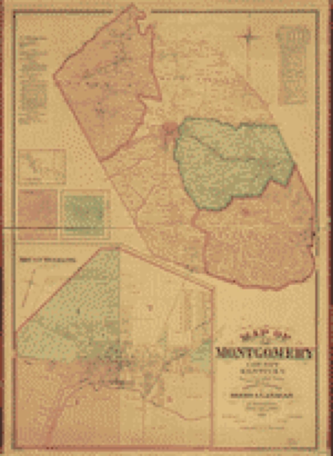
Selected from the Digital Public Library of America's 3 image records catalogued for this county. Every one shown here carries a public-domain status or a licence that permits reuse on a site that carries advertising; non-commercial, share-alike and restricted images are excluded. The selection is spread across the county's towns (at most eight per town), so no single institution's bulk upload crowds out the rest. Each opens the holding library's record, and the complete set at the Digital Public Library of America is one click away.

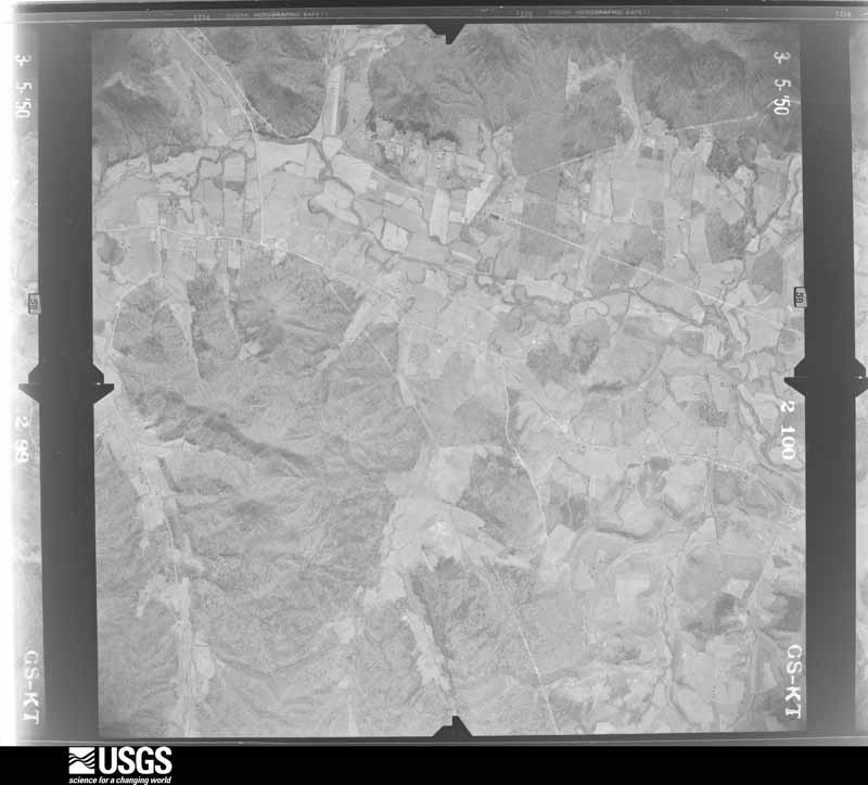
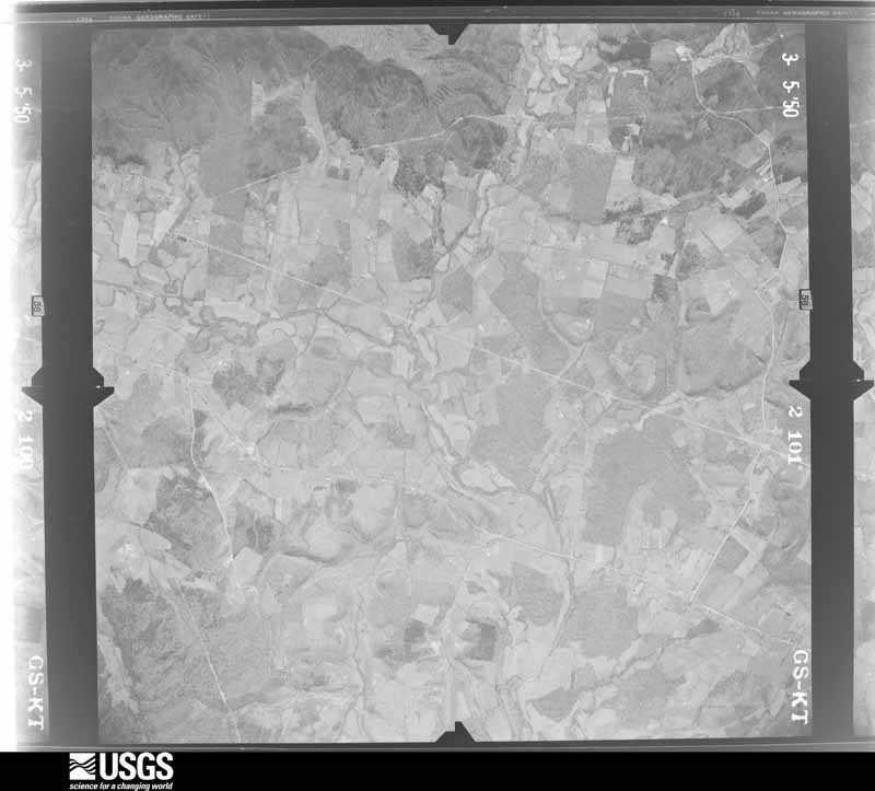
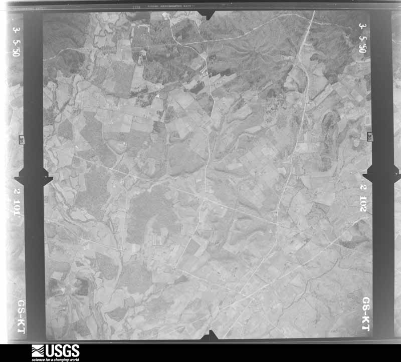
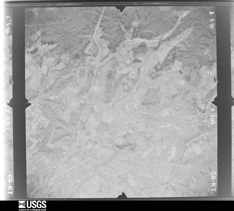
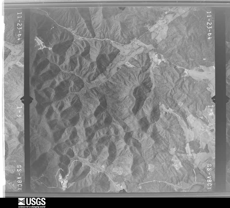
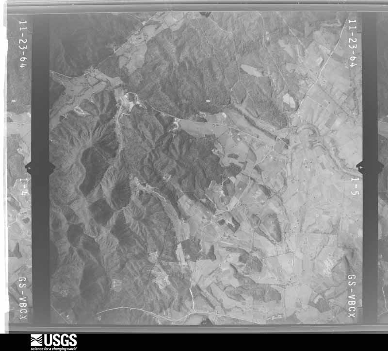
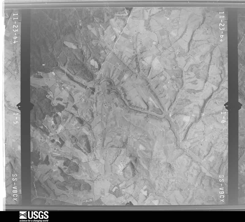
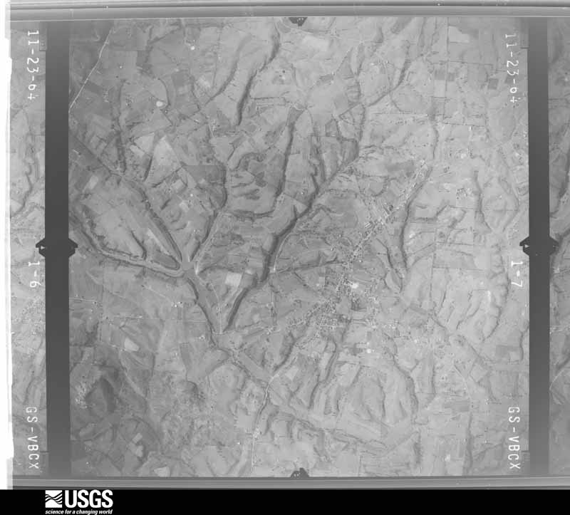
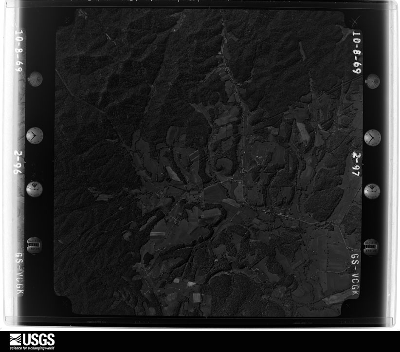
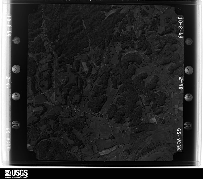
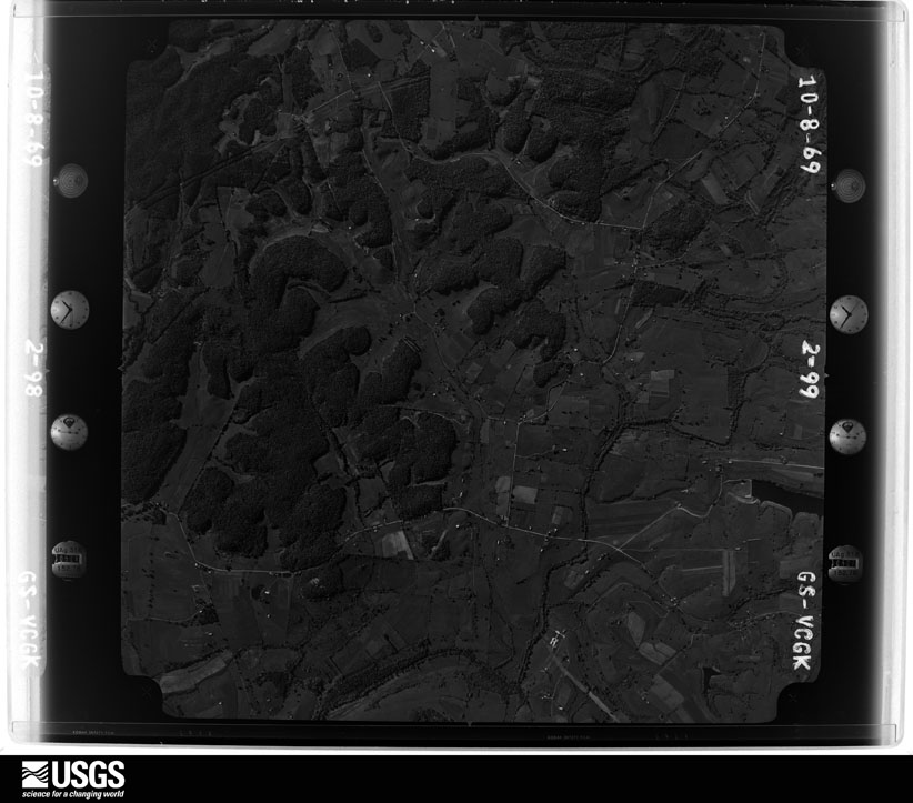
Flown by the U.S. Geological Survey between 1937 and 1989, the Aerial Photo Single Frames collection is the definitive mid-century view of the land: fields, roads and rivers as the camera saw them. The Survey holds 522 frames inside the rectangle that bounds this county; the 21 frames below were taken over the county itself, chosen across the decades of flights (at most four a year from that rectangle), so one flight cannot crowd out the rest. The full set is free to browse and download at EarthExplorer under the dataset Aerial Photo Single Frames.










The thermometers that kept this county's weather, and the gages that measured the flow of its streams, as the federal records hold them. The extremes below are measured values from those records, not estimates.
Who lived here in 1950, one enumeration district at a time, as the Census Bureau described each district. Each row opens its official National Archives result, with Population Schedules and ED Maps available there.
Every wildfire the federal occurrence database records inside this county: 63 of them, burning about 228 acres. None started naturally and 4 were recorded as arson. Each settlement page carries the fires within five miles of it.
| Reported cause | Fires |
|---|---|
| Missing data/not specified/undetermined | 22 |
| Recreation and ceremony | 21 |
| Debris and open burning | 11 |
| Arson/incendiarism | 4 |
| Smoking | 2 |
| Equipment and vehicle use | 2 |
| Railroad operations and maintenance | 1 |
The five largest, by the area the report gives. Two of them were set deliberately.
| Date | Cause | Size | Reported by | Name on the report |
|---|---|---|---|---|
| 24 November 2014 | Debris and open burning | 45 acres | Kentucky Division of Forestry | HACKNEY HOLLOW |
| 6 March 2002 | Missing data/not specified/undetermined | 20 acres | Kentucky Division of Forestry | not named |
| 20 November 2020 | Arson/incendiarism | 17 acres | Kentucky Division of Forestry | SHELBY LANE |
| 30 March 1999 | Arson/incendiarism | 15 acres | Kentucky Division of Forestry | not named |
| 22 March 2016 | Recreation and ceremony | 11 acres | Kentucky Division of Forestry | OLD RT 11 |
| 25 October 2003 | Missing data/not specified/undetermined | 5.0 acres | Kentucky Division of Forestry | not named |
| 7 January 2018 | Debris and open burning | 5.0 acres | Kentucky Division of Forestry | SPENCER RD. |
| 4 September 2002 | Recreation and ceremony | 5.0 acres | Kentucky Division of Forestry | not named |
Every settlement page carries the fires within five miles of it - see the settlement index below.
The NOAA Storm Events Database holds 323 reports for this county, causing 1 death, 9 injuries and about $7,510,050 in recorded property damage. Each settlement page carries the reports that name it.
| Kind of event | Reports |
|---|---|
| Thunderstorm Wind | 201 |
| Flash Flood | 51 |
| Hail | 38 |
| Flood | 21 |
| Funnel Cloud | 5 |
| Tornado | 3 |
| Heavy Rain | 3 |
| Lightning | 1 |
The most serious of them, by death, then injury, then recorded damage. The accounts are quoted exactly as the forecast office filed them.
| When | Event | Place named | Harm | What the report says |
|---|---|---|---|---|
| May 1996 | Flash Flood | Mt Sterling | 1 killed, 1 hurt, $10,000 | no account filed |
| June 1977 | Tornado (F1) | not stated | 6 hurt, $250,000 | no account filed |
| April 1974 | Tornado (F3) | not stated | 2 hurt, $250,000 | no account filed |
| May 1995 | Thunderstorm Wind | Mt. Sterling | $5,000,000 | Possible tornado touchdown. Four rooms at Days Inn blown out. Heliy Meyers Furniture Store was halfway knocked down. Tractor-semitrailers were turned over. Jockey International Factory roof was blown off. Margo Auto Part Store was destroyed. Traffic lights were out, and a local radio station was out. |
| September 2018 | Flood | Ewington | $750,000 | Flooding occurred throughout and around Mount Sterling. Four water rescues were performed and an estimated 30-50 homes were inundated by flood waters along with 20 businesses. |
| March 1997 | Flash Flood | Mt Sterling | $230,000 | no account filed |
| April 2013 | Thunderstorm Wind | Camargo | $100,000 | A storm damage survey team from the National Weather Service office in Jackson, KY confirmed that damage that occurred on Ficklin Road between Camargo and Jeffersonville bewteen 658 and 705 pm EDT on Thursday April 11, was caused by straight line winds. Winds were estimated to have peaked between 85 and 95 mph. The straight line winds spread debris out across an area approximately 660 yards in length and about 720 yards wide. Several homes and barns sustained significant wind damage, with multiple trees being felled as well. Two barns, a small single structure and a few tress also sustained damage from the winds on Camargo Levee Road at around 658 pm EDT. The debris field left on Camargo Levee Road was approximately 400 yards long and 100 yards wide. |
| February 2009 | Thunderstorm Wind | Mt Sterling | $100,000 | Widespread damage was reported by the Montgomery County emergency management. |
| August 2015 | Flash Flood | Mt Sterling | $50,000 | Several roads were impassable due to flooding including the following: Quesenberry Road, Bunker Hill Road, Cecil Pike, Stepstone Road, Howards Mill Road, and Rogers Mill Road. Interstate 64 was covered with flowing water of unknown depth. The 3700 block of Stepstone Rd had waist deep water flowing across it and a person became stranded in their vehicle in swift flowing flood waters near Quesenberry and Stepstone Roads. A portion of Quesenberry Road under the I64 bridge was washed out. |
| June 2011 | Thunderstorm Wind | Mt Sterling | $50,000 | A tree was blown down and onto Maysville Rd. Traffic was blocked until around 630pm that evening as crews worked to clear the tree from the road. The tree also took down several power lines as it fell, causing power outages for a few hundred customers in the area. Wind damage also occurred at the nearby Judy Drive-In. A barn on Maysville Rd destroyed and another barn near the Somerset Christian Church was damaged by thunderstorm winds. |
| June 2011 | Thunderstorm Wind | Judy | $50,000 | Several trees and power lines were blown down in Judy. One tree was blown down and onto a house. Roofs and barns around the area were heavily damaged. The damage was confined to an area around and within two miles of Judy. |
| February 2008 | Thunderstorm Wind | Camargo | $50,000 | Highway 460 had to be closed due to a building being blown onto it by thunderstorm wind gusts. |
| January 2008 | Thunderstorm Wind | Mt Sterling | $50,000 | Trees and power lines blown down all across the county by wind gusts estimated at 63 mph. |
| May 2008 | Thunderstorm Wind | Jeffersonville | $50,000 | Numerous trees were blown down county wide, blocking roads. Worst hit area was between Mount Sterling and Jefferson. Camargo was also hit hard. |
| April 2007 | Thunderstorm Wind | Mt Sterling | $50,000 | Numerous trees down countywide. |
| February 2008 | Thunderstorm Wind | Mt Sterling | $35,000 | Trees and power lines were blown down county wide. A porch was damaged near Chapel Road near Mt. Sterling. |
| June 2012 | Thunderstorm Wind | Grassy Lick | $30,000 | Trees and power lines were blown down on US 460. |
| July 2016 | Flash Flood | Mt Sterling | $25,000 | Water was swiftly flowing over the roadway at the intersection of Levee and Kiddville Roads south of Mount Sterling, making them impassable. First responders reported to a swift water rescue when a man became trapped in his car as it was engulfed by flood waters. Later reports indicated the man was uninjured. |
| January 2012 | Thunderstorm Wind | Mt Sterling | $25,000 | Widespread power outages were reported throughout northern parts of the county. Power lines were down in downtown Mount Sterling. |
| July 2010 | Thunderstorm Wind | Mt Sterling | $25,000 | Multiple trees were blown down county wide. |
| April 2007 | Thunderstorm Wind | Jeffersonville | $25,000 | Numerous trees blown down onto power poles. |
| July 1956 | Tornado (F1) | not stated | $25,000 | no account filed |
| April 2024 | Thunderstorm Wind | Reynoldsville | $15,000 | A large chunk of roof was taken out of a barn in an exposed field east of the community of Stoops. Across the street was a second barn on Van Thompson Road with the door panels hanging loose. |
| July 2023 | Thunderstorm Wind | Stoops | $15,000 | Numerous trees were blown down along US-60 from 4670 US-60 to the Bath County Line. Portions of the high way were closed for tree removal. A tree also fell on a house in this area, though no injuries were reported. |
| July 2023 | Thunderstorm Wind | Jeffersonville | $15,000 | The survey team saw a partial barn collapse with multiple places of roofing metal thrown in an adjacent field. In addition, multiple large tree trunks were snapped at the property. |
| June 2009 | Thunderstorm Wind | Mt Sterling | $15,000 | A tree and large limbs were blown down in Mount Sterling. |
| May 2020 | Flood | Spencer | $11,000 | Emergency Management reported numerous instances of flooding southeast of Mount Sterling to near the Menifee County line. Spencer Creek overspilled its banks near Gatewoods Station, flowing onto one lane of Kentucky Highway 713, while Kentucky Highway 11 was impassable in spots nearing the Powell County line. Additionally, Jeffersonville experienced low lying flooding while U.S. Highway 460 was impassable near the Menifee County line. |
| February 2024 | Thunderstorm Wind | Bee Lick | $10,000 | A barn was blown down at Route 11 and Van Thompson Road in the community of Judy. |
| May 2020 | Flood | Mt Sterling | $10,000 | The county Emergency Manager reported several roads, including Main Street and Locust Street, closed due to high water. A few downtown buildings had to be evacuated. |
| March 2012 | Thunderstorm Wind | Judy | $10,000 | Thunderstorm wind gusts caused significant damage in the Judy area. |
| July 2010 | Thunderstorm Wind | Judy | $10,000 | Multiple trees were blown down on Cecil Pike and Stepstone Road. |
| February 2000 | Flash Flood | Countywide | $10,000 | Many roads across the county were closed due to flash flooding from several hours of heavy rain. |
| March 1997 | Flash Flood | Mt Sterling | $10,000 | no account filed |
| July 2023 | Thunderstorm Wind | Levee | $8,000 | The survey team saw a large tree trunk snapped and laying on a front porch. In addition, portions of a shed roof were rolled up and another medium sized tree trunk was snapped. |
| June 2011 | Thunderstorm Wind | Mt Sterling | $8,000 | A tree collapsed onto the roof of a home on Bunker Hill Rd in Mt Sterling, causing damage to the roof and other parts of the front of the house. |
| July 2023 | Thunderstorm Wind | Levee | $7,000 | The survey team found a power pole that was snapped and a slightly rotten tree that was split due to high winds. |
| April 2009 | Thunderstorm Wind | Levee | $7,000 | Several trees were blown down along Levee Road. |
| June 2007 | Thunderstorm Wind | Mt Sterling | $7,000 | Power pole a tree and power lines blown down on Bunker Hill Road. |
| August 2007 | Thunderstorm Wind | Jeffersonville | $7,000 | Several large limbs down. |
| August 1999 | Thunderstorm Wind | Mt Sterling | $7,000 | Trees and power lines down. Winds blew part of a roof off a barn and shingles off a nearby business. |
| September 2018 | Flash Flood | Mt Sterling | $5,000 | Emergency Management reported swiftly flowing water resulting in major road and culvert damage near the intersection of Hinkston Pike and Garden Springs Drive in Mount Sterling. |
| June 2010 | Thunderstorm Wind | Mt Sterling | $5,000 | Several trees were blown down around the county including on US 460 and along US 60 east near the 4000 block. |
| June 2005 | Thunderstorm Wind | Jeffersonville | $5,000 | A roof was blown off a home on Gibson Road. |
| May 2004 | Thunderstorm Wind | Sideview | $5,000 | Power lines and treetops were twisted off into Aarons Run Road off of Highway 460. |
| July 1998 | Flash Flood | Countywide | $5,000 | Numerous county roads were water covered and closed. |
| April 2023 | Thunderstorm Wind | Mt Sterling | $4,000 | The Montgomery County dispatch reported that multiple trees and powerlines were blown down along KY-11 near Mount Sterling. A social media report also showed a truck and horse trailer blown over from the wind. |
| August 2009 | Thunderstorm Wind | Levee | $4,000 | Trees were blown down on old Kentucky 11. |
| December 2012 | Thunderstorm Wind | Jeffersonville | $3,000 | Thunderstorm wind gusts caused damage to roofing material siding on a structure on Main Street in Jeffersonville. |
| July 2008 | Thunderstorm Wind | Camargo | $3,000 | Numerous tree branches were blown down on McCormick Road. |
| December 2019 | Flood | Mt Sterling | $2,500 | Dispatch reported flooding at Main and High Streets in Mount Sterling. |
| August 2022 | Thunderstorm Wind | Levee | $2,000 | A tree was blown down and onto Highway 11 in Levee. Power outages were also reported. |
| August 2022 | Thunderstorm Wind | Camargo | $2,000 | A couple of trees were blown down, and some power outages were reported in the Camargo area. |
| July 2019 | Lightning | Mt Sterling | $2,000 | Emergency Management reported multiple electrical transformers downed due to a lightning strike. |
| July 2006 | Thunderstorm Wind | Judy | $2,000 | Several large trees down, one on a residence. |
| June 2005 | Thunderstorm Wind | Mt Sterling | $2,000 | Several trees and power lines down. |
| June 2005 | Thunderstorm Wind | Mt Sterling | $2,000 | Trees and power lines down. |
| July 2001 | Thunderstorm Wind | Mt Sterling | $2,000 | Trees and power lines were blown down. |
| July 2000 | Thunderstorm Wind | Mt Sterling | $2,000 | Trees and power lines down. |
| May 2025 | Thunderstorm Wind | Lucky Stop | $1,000 | A tree was blown down into powerlines near the instersection of Rocky Branch Road and Main street, between Jeffersonville and Means. |
| July 2023 | Thunderstorm Wind | Judy | $1,000 | A power line was blown down along the 7000 block of Maysville Road near the Montgomery-Bath county line. |
The Survey's mineral resources record lists 2 workings inside this county. All of them still produce. Each settlement page carries the workings within five miles of it.
| Commodity | Workings |
|---|---|
| Stone, Crushed/Broken | 2 |
The least common of them first, because a county's hundredth gravel pit says nothing its first ten did not.
| Where | Site | Commodity | Status | Recorded |
|---|---|---|---|---|
| 213 Quarry | Stone, Crushed/Broken | Producer | ||
| Donaldson Creek Quarry | Stone, Crushed/Broken | Producer |
Named settlements recorded in the Geographic Names Information System, each with the topographic sheets covering it. Villages, hamlets and abandoned places alike. Each is shown with the nearest named watercourse or landform and the survey quadrangle it falls on. The 1 place that was also surveyed for fire insurance comes first, with the number of atlases and photographs held for them.
Mount Sterling census division · 40353 · Mount Sterling quadrangle
8 sheets, 1952 to 1982
Fire insurance: 8 atlases
Mount Sterling census division · 40353 · On Aarons Run · North Middletown quadrangle
5 sheets, 1952 to 1986
No longer a settlement
Jeffersonville census division · 40353 · Near Indian Hill · Preston quadrangle
8 sheets, 1952 to 1982
No longer a settlement
Mount Sterling census division · 40353 · On Crooked Ash Branch · Mount Sterling quadrangle
8 sheets, 1952 to 1982
No longer a settlement
Mount Sterling census division · 40353 · Mount Sterling quadrangle
8 sheets, 1952 to 1982
No longer a settlement
Jeffersonville census division · 40353 · On Bowles Branch · Levee quadrangle
12 sheets, 1892 to 1982
Jeffersonville census division · 40337 · Means quadrangle
12 sheets, 1892 to 1982
No longer a settlement
Jeffersonville census division · 40346 · On Foster Branch · Preston quadrangle
8 sheets, 1952 to 1982
Mount Sterling census division · 40353 · Near Harpers Ridge · Preston quadrangle
8 sheets, 1952 to 1982
Mount Sterling census division · 40353 · On Lane Branch · Sharpsburg quadrangle
6 sheets, 1952 to 1982
Jeffersonville census division · 40353 · On Cream Alley Branch · Levee quadrangle
12 sheets, 1892 to 1982
Mount Sterling census division · 40353 · On Harpers Creek · Preston quadrangle
8 sheets, 1952 to 1982
Jeffersonville census division · 40337 · Near Science Ridge · Means quadrangle
12 sheets, 1892 to 1982
Mount Sterling census division · 40353 · On Peytons Lick Branch · Sharpsburg quadrangle
6 sheets, 1952 to 1982
No longer a settlement
Mount Sterling census division · 40353 · Mount Sterling quadrangle
8 sheets, 1952 to 1982
No longer a settlement
Mount Sterling census division · 40353 · North Middletown quadrangle
5 sheets, 1952 to 1986
No longer a settlement
Mount Sterling census division · 40353 · Mount Sterling quadrangle
8 sheets, 1952 to 1982
Mount Sterling census division · 40353 · Mount Sterling quadrangle
8 sheets, 1952 to 1982
No longer a settlement
Jeffersonville census division · 40337 · On Cooks Branch Slate · Means quadrangle
12 sheets, 1892 to 1982
No longer a settlement
Mount Sterling census division · 40353 · Mount Sterling quadrangle
8 sheets, 1952 to 1982
No longer a settlement
Mount Sterling census division · 40353 · On Harpers Creek · Preston quadrangle
8 sheets, 1952 to 1982
No longer a settlement
Mount Sterling census division · 40360 · On Salt Well Branch · Preston quadrangle
8 sheets, 1952 to 1982
Jeffersonville census division · 40337 · Near Ficklin Knob · Levee quadrangle
12 sheets, 1892 to 1982
No longer a settlement
Mount Sterling census division · 40353 · On Harpers Creek · Preston quadrangle
8 sheets, 1952 to 1982
Mount Sterling census division · 40353 · Near Foley Hollow · Preston quadrangle
8 sheets, 1952 to 1982
No longer a settlement
Jeffersonville census division · 40337 · Near Ficklin Knob · Means quadrangle
12 sheets, 1892 to 1982
No longer a settlement
The vanished settlements of Montgomery County: the places named above that are no longer on the map.
8 topographic sheets and 8 fire insurance atlases, 1886 to 1942