 Block
From the record
12 National Register listings published here.
Sources: the National Register database, National Park Service
23 topographic sheets and 8 fire insurance atlases across 1 place.
12 National Register listings published here.
Sources: the National Register database, National Park Service
Taken for the Office of War Information and the Farm Security Administration, who photographed the country between 1935 and 1944. Works of United States government photographers, with no known restriction on use. Each opens its catalogue record.

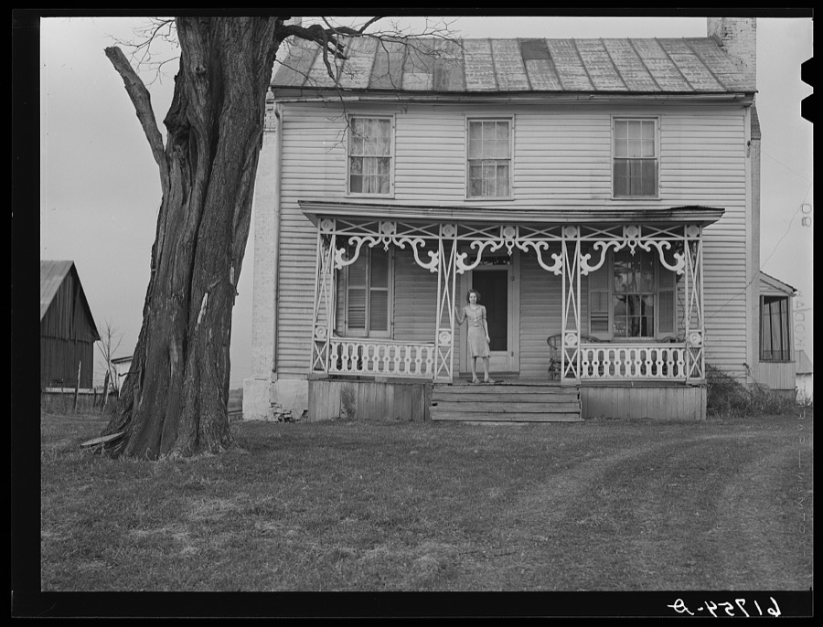


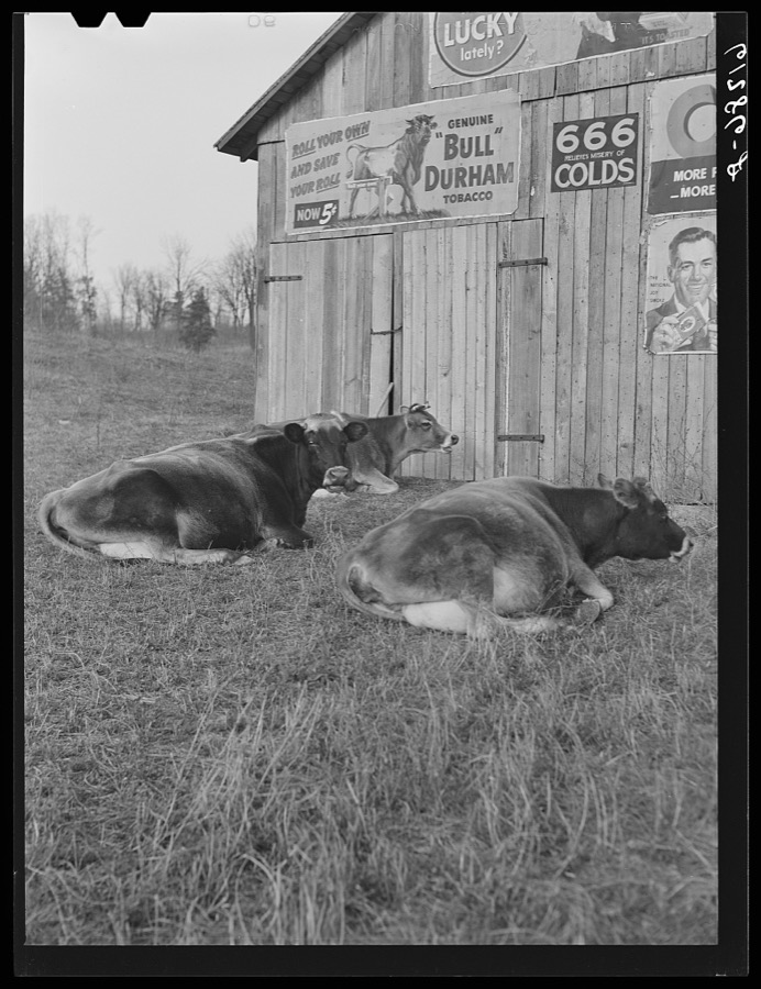







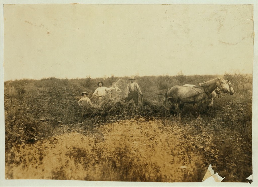
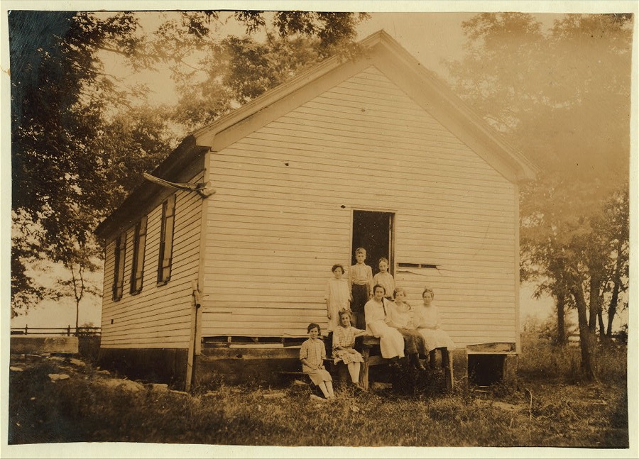
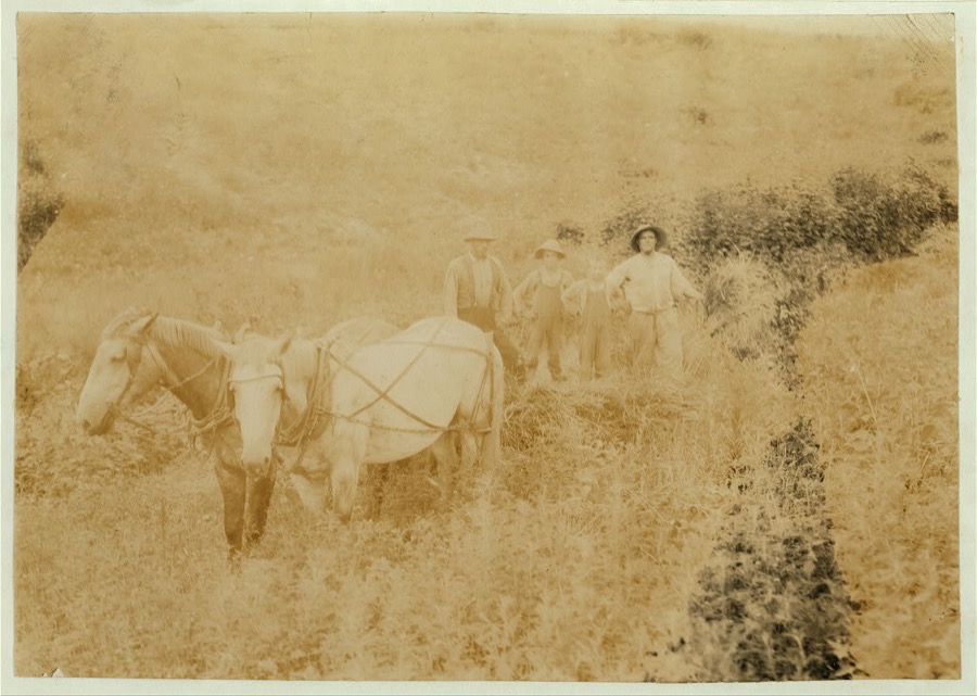


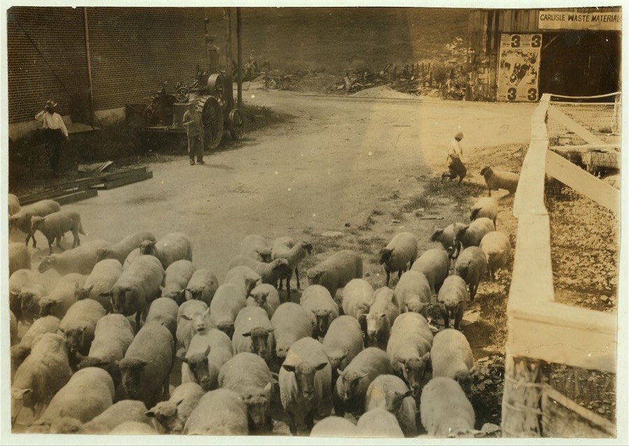
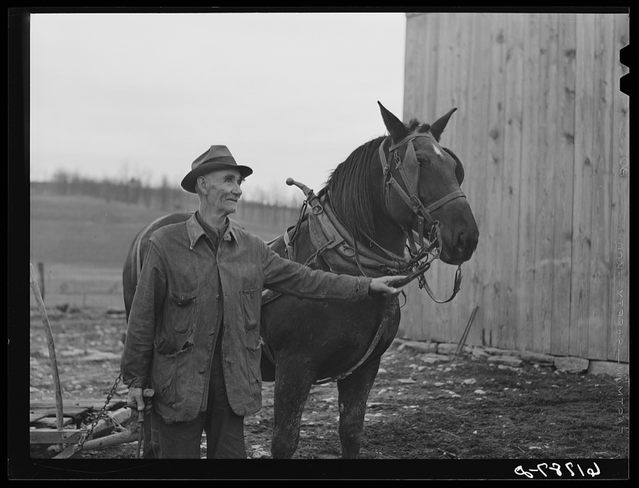
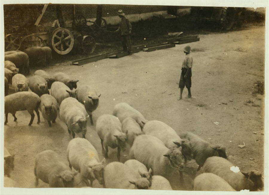




Every property in this county listed on the National Register of Historic Places, with the year it was listed and the federal nomination document.
| Photograph | Property | Type | Listed | Reference |
|---|---|---|---|---|
 | Carlisle Armory | building | 2000 | 00000280 |
| Carlisle Historic District | district | 1989 | 89001599 | |
 | Carlisle, Louisville and Nashville Passenger Depot | building | 1979 | 79001028 |
 | Dinsmore House | building | 1989 | 89001602 |
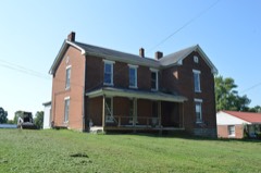 | Thomas A. Dorsey Farmhouse | building | 1989 | 89001603 |
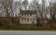 | James Ellis Stone Tavern | building | 1976 | 76000932 |
 | Forest Retreat Farm and Tavern | building | 1973 | 73000825 |
 | Thomas Kennedy House | building | 1989 | 89001601 |
 | William Mathers House | building | 1989 | 89001600 |
 | Erasmus Riggs House | building | 1983 | 83002839 |
 | Stone Barn on Brushy Creek | building | 1983 | 83002840 |
| John Henry Thompson House | building | 1983 | 83002841 |
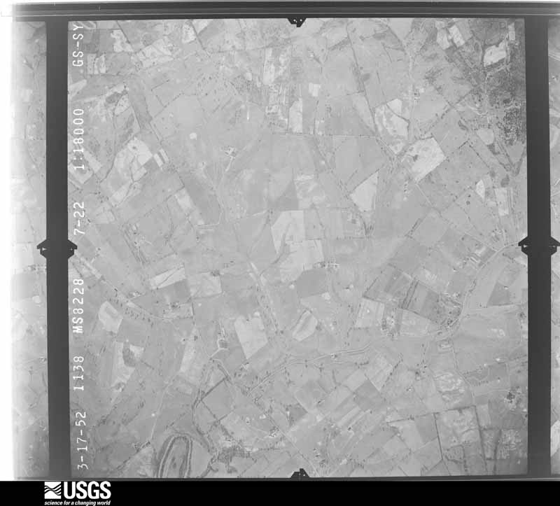
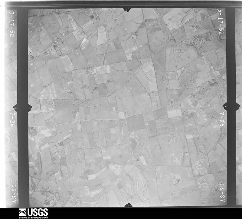
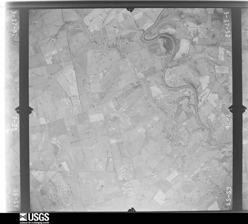
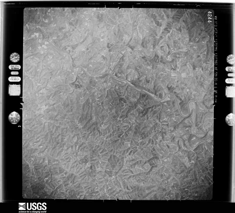
Flown by the U.S. Geological Survey between 1937 and 1989, the Aerial Photo Single Frames collection is the definitive mid-century view of the land: fields, roads and rivers as the camera saw them. The Survey holds 345 frames inside the rectangle that bounds this county; the 16 frames below were taken over the county itself, chosen across the decades of flights (at most four a year from that rectangle), so one flight cannot crowd out the rest. The full set is free to browse and download at EarthExplorer under the dataset Aerial Photo Single Frames.












The thermometers that kept this county's weather, and the gages that measured the flow of its streams, as the federal records hold them. The extremes below are measured values from those records, not estimates.
Who lived here in 1950, one enumeration district at a time, as the Census Bureau described each district. Each row opens its official National Archives result, with Population Schedules and ED Maps available there.
Every wildfire the federal occurrence database records inside this county: 8 of them, burning about 124 acres. None started naturally and none was recorded as arson. Each settlement page carries the fires within five miles of it.
| Reported cause | Fires |
|---|---|
| Recreation and ceremony | 4 |
| Debris and open burning | 2 |
| Equipment and vehicle use | 1 |
| Missing data/not specified/undetermined | 1 |
The five largest, by the area the report gives. None of them was recorded as arson.
| Date | Cause | Size | Reported by | Name on the report |
|---|---|---|---|---|
| 29 February 2004 | Missing data/not specified/undetermined | 35 acres | Kentucky Division of Forestry | not named |
| 11 October 2010 | Recreation and ceremony | 25 acres | Kentucky Division of Forestry | PISGAH ROAD |
| 24 April 2016 | Recreation and ceremony | 17 acres | Kentucky Division of Forestry | BRIAR PATCH RD. |
| 18 November 2017 | Debris and open burning | 15 acres | Kentucky Division of Forestry | KISER BRANCH |
| 17 February 2009 | Recreation and ceremony | 15 acres | Kentucky Division of Forestry | not named |
| 7 November 2011 | Recreation and ceremony | 8.0 acres | Kentucky Division of Forestry | NICHOLAS COUNTY |
| 19 November 1999 | Debris and open burning | 7.0 acres | Kentucky Division of Forestry | not named |
| 24 September 1999 | Equipment and vehicle use | 2.0 acres | Kentucky Division of Forestry | not named |
Every settlement page carries the fires within five miles of it - see the settlement index below.
The NOAA Storm Events Database holds 127 reports for this county, causing 2 deaths, 8 injuries and about $2,815,500 in recorded property damage. Each settlement page carries the reports that name it.
| Kind of event | Reports |
|---|---|
| Thunderstorm Wind | 70 |
| Flash Flood | 26 |
| Flood | 23 |
| Hail | 5 |
| Heavy Rain | 2 |
| Tornado | 1 |
The most serious of them, by death, then injury, then recorded damage. The accounts are quoted exactly as the forecast office filed them.
| When | Event | Place named | Harm | What the report says |
|---|---|---|---|---|
| July 2021 | Flash Flood | Miller | 1 killed, $1,000,000 | Heavy rain caused flash flooding in Carlisle as Brushy Fork Creek quickly left it's banks. Several streets including Main Street were under several feet of water. Some reported over 4 feet of water in several homes. Homes were pushed off their foundations, and several cars floated downstream in the current. People had to be rescued through broken windows by emergency responders on watercraft. Some people lost most of their possessions, but one woman who lived in a mobile home on Moorefield Road lost her life after emergency responders couldn't respond in time to her call for help. She was found in the water 600 feet downstream. |
| July 2023 | Flash Flood | Hooktown | 1 killed | A house was swept away due to flood waters along West Headquarters Road near Hooktown. |
| March 1986 | Tornado (F1) | not stated | 3 hurt, $25,000 | no account filed |
| May 1990 | Thunderstorm Wind | not stated | 2 hurt | no account filed |
| February 2008 | Thunderstorm Wind | Carlisle | 1 hurt, $300,000 | The first damage occurred two miles west of Carlisle where straight line winds blew the roofs off a barn and a trailer, and a manufacturing company suffered significant roof damage. Tree and barn damage occurred on KY 32 and KY 1455 north of Carlisle. The most significant damage happened three miles northeast of Carlisle near the intersection of KY 32 and Stoney Creek Road. A small barn was completely destroyed and blown into the highway. Several other barns had their roofs removed. A car was blow 15 feet into a telephone pole by the winds. |
| July 1987 | Thunderstorm Wind | not stated | 1 hurt | no account filed |
| March 1986 | Thunderstorm Wind | not stated | 1 hurt | no account filed |
| July 2021 | Flash Flood | Carlisle | $1,000,000 | Several streets in Carlisle experienced flash flooding. Cost of damage is unknown. |
| January 2008 | Thunderstorm Wind | Ellisville | $250,000 | Thunderstorm winds damaged about twelve homes along U.S. Highway 68. A barn was heavily damaged, and several outbuildings were destroyed. Numerous trees were downed. |
| July 2001 | Flash Flood | Carlisle | $75,000 | Parts of US 68 were washed out. Several houses and mobile homes were inundated by water. |
| May 1995 | Thunderstorm Wind | Moorefield | $50,000 | Resident reported several barns down and a few roofs blown off homes, relayed by TV36. |
| May 1996 | Thunderstorm Wind | Carlisle | $30,000 | no account filed |
| May 2011 | Hail | Carlisle | $20,000 | Three separate reports of 2.75 inch hail. This hail dented many vehicles and broke several windows. |
| November 2002 | Thunderstorm Wind | Myers | $20,000 | A mobile home was blown off its foundation. |
| July 2018 | Thunderstorm Wind | Head Quarters | $15,000 | Power lines and trees came down at Carpenter Pike and US 68. Trees also came down along county roads in the western half of the county. |
| June 2006 | Flash Flood | East Union | $10,000 | Unspecified crop damage was reported. Two cars were flooded by high water. Burns road was flooded. No homes were damaged and no injuries were reported. Public reported four to five inches of rainfall. |
| May 1996 | Thunderstorm Wind | Crooked Creek | $10,000 | no account filed |
| July 2012 | Thunderstorm Wind | Carlisle | $5,000 | Several trees were downed along Kentucky Highway 36 just west of Carlisle, including one that blocked the road. A tree also fell near Upper Jaxtown Road in Carlisle. A portion of the roof of a barn was damaged as well. |
| July 2000 | Thunderstorm Wind | Moorefield | $5,000 | Thunderstorm winds blew the windows out of a building. |
| June 1994 | Thunderstorm Wind | not stated | $500 | County DES reported several downed trees. |
| April 2025 | Thunderstorm Wind | Weston | - | Multiple trees were down on Dunn Road. |
| April 2025 | Thunderstorm Wind | Henryville | - | Multiple trees were down on Scrubgrass Road. |
| February 2024 | Thunderstorm Wind | Carlisle | - | A tree blew down on Old Paris Road. |
| May 2024 | Thunderstorm Wind | Carlisle | - | Trees, tree limbs, and power lines were downed by strong winds in Carlisle. |
| August 2023 | Thunderstorm Wind | Miranda | - | There was a tree down on Concord Road. |
| August 2023 | Thunderstorm Wind | Barefoot | - | There was a tree down on Johnson Road. |
| June 2022 | Thunderstorm Wind | Carlisle | - | A tree was down on East Union Road. |
| June 2022 | Thunderstorm Wind | Carlisle | - | Trees were down in the county. |
| August 2021 | Flash Flood | Carlisle | - | Main street was closed due to flooding. |
| August 2021 | Flash Flood | Carlisle | - | Flooding was reported near the Shell station on Concrete Road. |
| August 2021 | Flash Flood | Carlisle | - | Old Paris Road was closed due to flooding. |
| May 2020 | Flash Flood | East Union | - | Ox Bow Road was closed due to high water. |
| May 2020 | Flood | Milltown | - | Milltown Road was closed due to high water near the Licking River. |
| June 2020 | Thunderstorm Wind | Miller | - | The dispatcher reported trees down along Carpenter Pike. |
| June 2020 | Thunderstorm Wind | Carlisle | - | Trees were downed on Tureman Avenue in Carlisle. |
| July 2020 | Thunderstorm Wind | Head Quarters | - | At least 100 trees were blown down along with a barn in the 2400 block of Headquarters Road. |
| July 2020 | Thunderstorm Wind | Barefoot | - | Trees were reported down around the county. |
| February 2019 | Flood | Myers | - | There were a few roads with water over them in Nicholas County. |
| July 2019 | Thunderstorm Wind | Carlisle | - | The Emergency Manager reported a tree down. |
| August 2019 | Flash Flood | Carlisle | - | Water was flowing over Moorefield Road and East Union Road. |
| August 2019 | Flash Flood | Myers | - | Cassidy Creek Road flooded near Myers Station. |
| June 2019 | Flash Flood | Miranda | - | East Union Road was closed due to high water. |
| June 2019 | Flash Flood | Carlisle | - | State Road 36 was closed due to high water. |
| June 2019 | Flash Flood | Henryville | - | State Road 32 was closed near Myers Station due to high water. |
| February 2018 | Flood | Abner | - | The Licking River at Blue Licks Spring went into minor flood. The river crested at 28.9 feet which is 3.40 feet above flood stage. |
| May 2018 | Thunderstorm Wind | Ellisville | - | Multiple trees were reported down. |
| May 2018 | Flash Flood | Carlisle | - | The Emergency Manager reported that multiple roads were closed due to high water in the eastern portion of Nicholas County including Kentucky 36, East Union Road, and Cane Run Road. |
| July 2018 | Thunderstorm Wind | Miranda | - | Multiple trees were down in the area. |
| July 2018 | Thunderstorm Wind | Barterville | - | Trees were reported down on Calcutta Road. |
| July 2018 | Thunderstorm Wind | East Union | - | There were trees reported down on Somerset Road in Nicholas County. |
| July 2018 | Thunderstorm Wind | Carlisle | - | There were trees down on Young Street. |
| July 2018 | Flood | Flora | - | The Nicholas County Emergency Manager reported that several roads had been closed due to flooding, mainly in the northern part of the county. |
| September 2018 | Flash Flood | Carlisle | - | Moorefield Road had water over the roadway. |
| September 2018 | Flash Flood | Carlisle | - | There were major water issues in Nicholas County. Water was surrounding houses and causing flooded roadways to be closed. |
| March 2017 | Flood | Oakland Mills | - | Heavy rain brought the Licking River at Blue Licks Spring into minor flood. The river crested at 25 feet. |
| March 2017 | Flood | Oakland Mills | - | The Licking River at Blue Licks Spring rose above flood stage and crested at 27.23 feet. |
| June 2017 | Flash Flood | Carlisle | - | The Nicholas County emergency manager reported many closed roads across the county and water in some homes. |
| June 2017 | Flood | Oakland Mills | - | Heavy rainfall associated with the remnants of Tropical Storm Cindy brought the Licking River at Blue Licks Spring into minor flood. The river crested at 25.59 feet on June 24. |
| August 2017 | Thunderstorm Wind | Miller | - | A Kentucky Mesonet station gusted to 55 kts. |
| March 2015 | Flood | Oakland Mills | - | Heavy rain on top of already saturated ground pushed the Licking River at Blue Licks Spring above flood stage, cresting at 27.91 feet during the early morning hours of March 11th. The river fell below flood stage during the afternoon of March 12th. |
The Survey's mineral resources record lists 1 working inside this county. It is closed or unrecorded. Each settlement page carries the workings within five miles of it.
| Commodity | Workings |
|---|---|
| Stone, Crushed/Broken | 1 |
The least common of them first, because a county's hundredth gravel pit says nothing its first ten did not.
| Where | Site | Commodity | Status | Recorded |
|---|---|---|---|---|
| Nicholas County Quarry | Stone, Crushed/Broken | Unknown |
Named settlements recorded in the Geographic Names Information System, each with the topographic sheets covering it. Villages, hamlets and abandoned places alike. Each is shown with the nearest named watercourse or landform and the survey quadrangle it falls on. The 1 place that was also surveyed for fire insurance comes first, with the number of atlases and photographs held for them.
Carlisle census division · 40311 · Near Gallows Hill · Carlisle quadrangle
6 sheets, 1953 to 1986
Fire insurance: 8 atlases
Headquarters census division · 40311 · Near Poke Wagoner Hill · Piqua quadrangle
5 sheets, 1952 to 1986
Carlisle census division · 40311 · On East Fork Somerset Creek · Sharpsburg quadrangle
6 sheets, 1952 to 1982
Headquarters census division · 40311 · On Hickory Ridge · Carlisle quadrangle
6 sheets, 1953 to 1986
No longer a settlement
Carlisle census division · 40350 · On Big Branch · Sherburne quadrangle
6 sheets, 1952 to 1982
Headquarters census division · 41031 · On Little Beaver Creek · Shady Nook quadrangle
6 sheets, 1952 to 1986
Headquarters census division · 40311 · On Scrubgrass Creek · Moorefield quadrangle
7 sheets, 1953 to 1982
Headquarters census division · 41039 · On Fleming Creek · Cowan quadrangle
8 sheets, 1952 to 1982
Carlisle census division · 40350 · On Cane Run · Moorefield quadrangle
7 sheets, 1953 to 1982
Carlisle census division · 40350 · On Big Branch · Sherburne quadrangle
6 sheets, 1952 to 1982
The vanished settlements of Nicholas County: the places named above that are no longer on the map.
6 topographic sheets and 8 fire insurance atlases, 1886 to 1939