 Block
From the record
3 National Register listings published here.
Sources: the National Register database, National Park Service
71 topographic sheets and 4 fire insurance atlases across 1 place.
3 National Register listings published here.
Sources: the National Register database, National Park Service
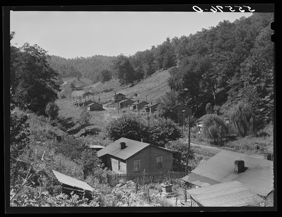
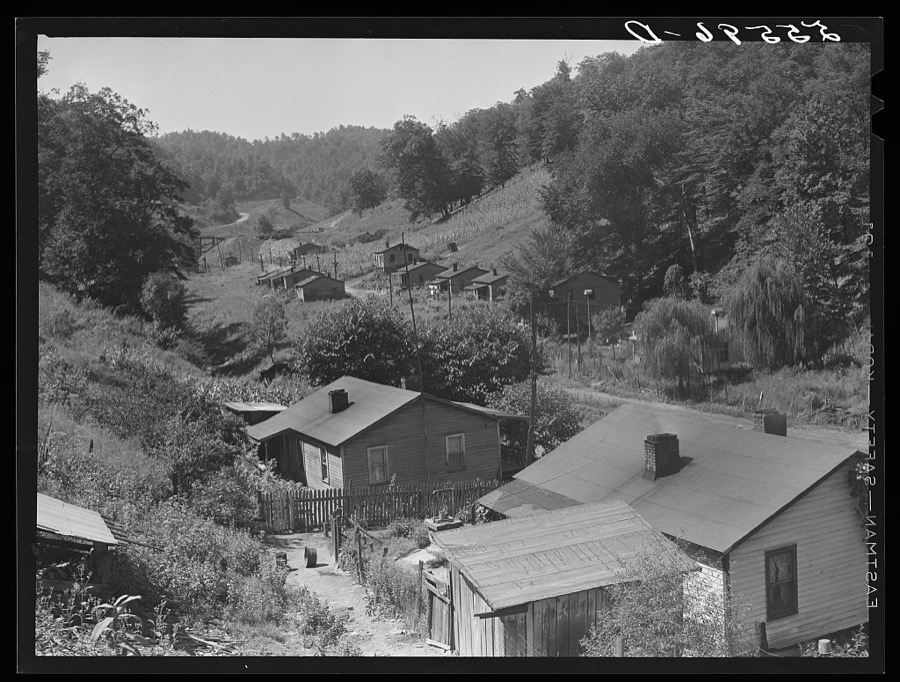
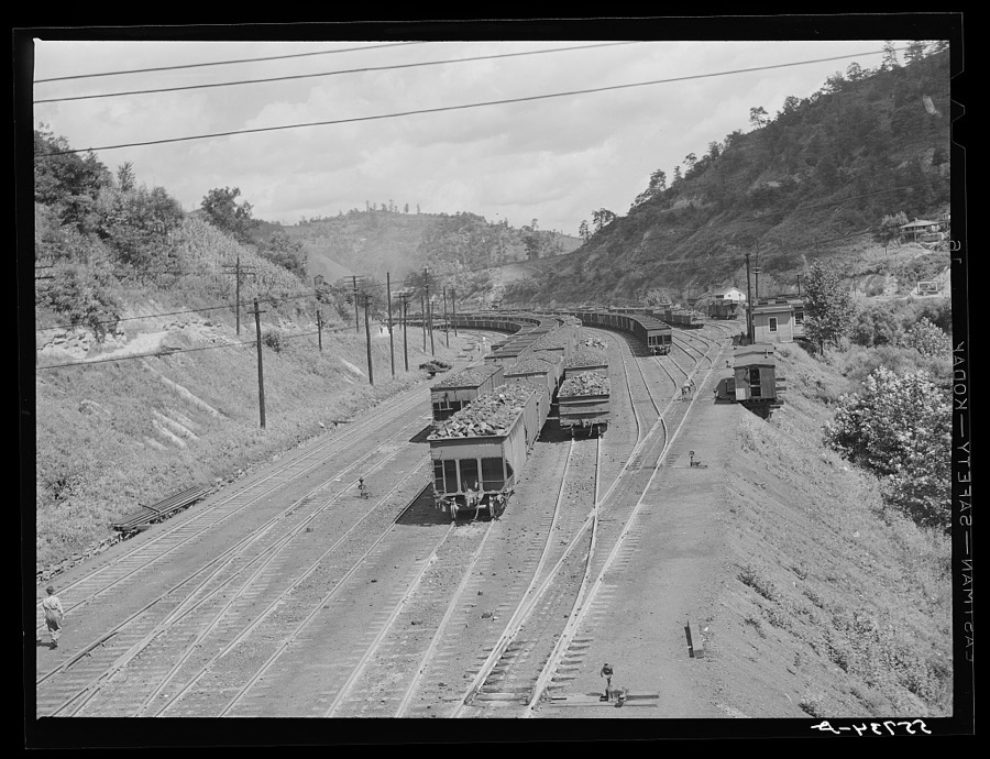
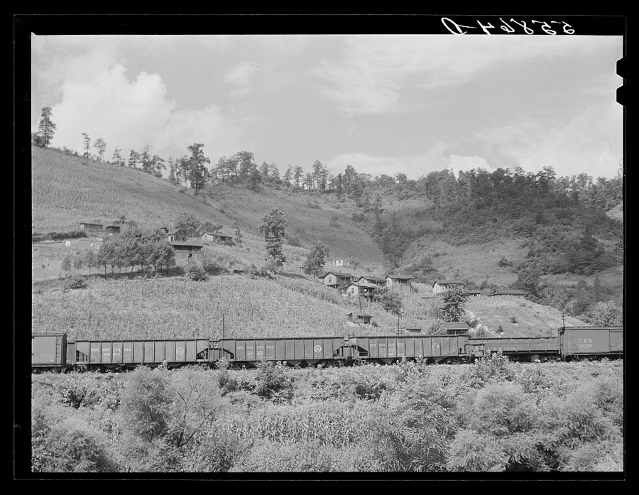
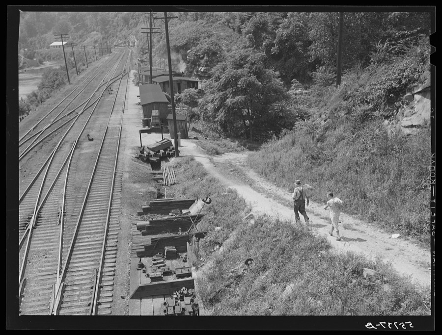
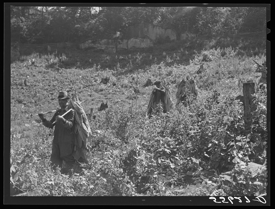
Taken for the Office of War Information and the Farm Security Administration, who photographed the country between 1935 and 1944. Works of United States government photographers, with no known restriction on use. Each opens its catalogue record.
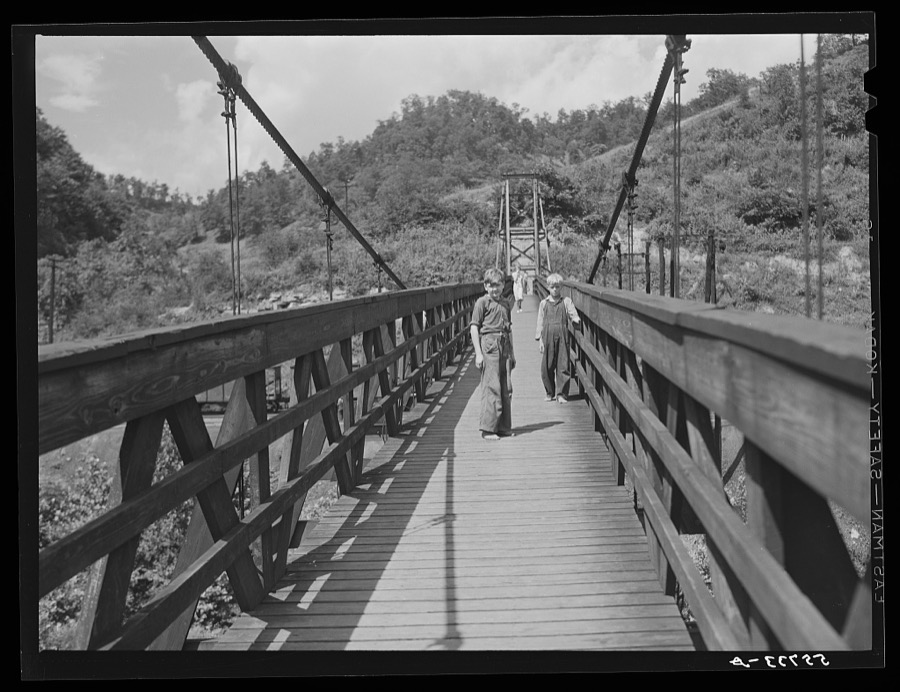
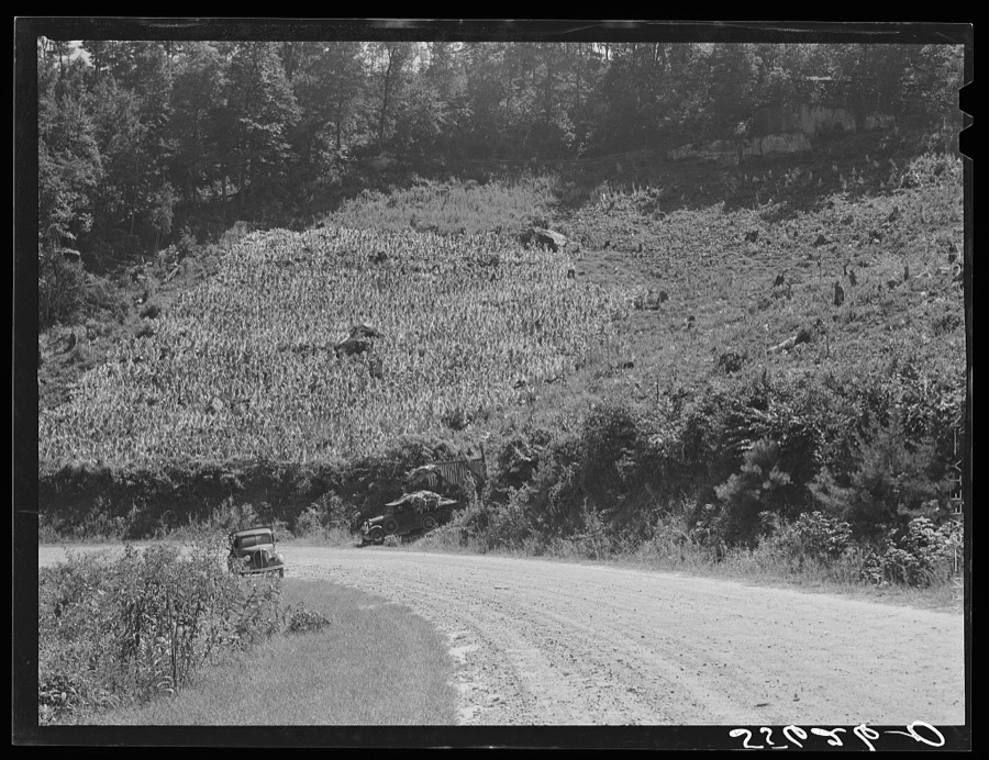
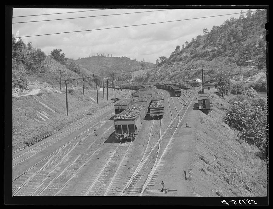
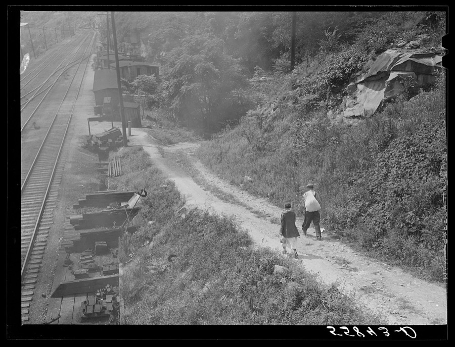
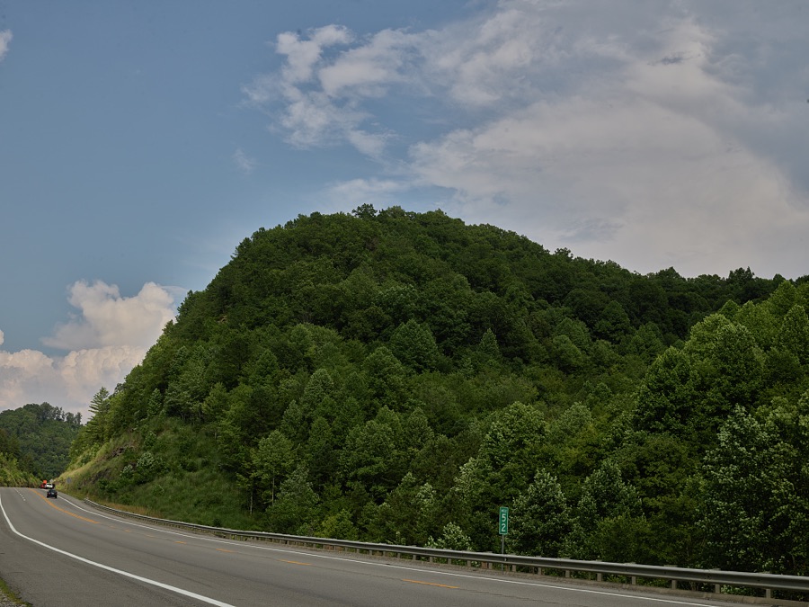
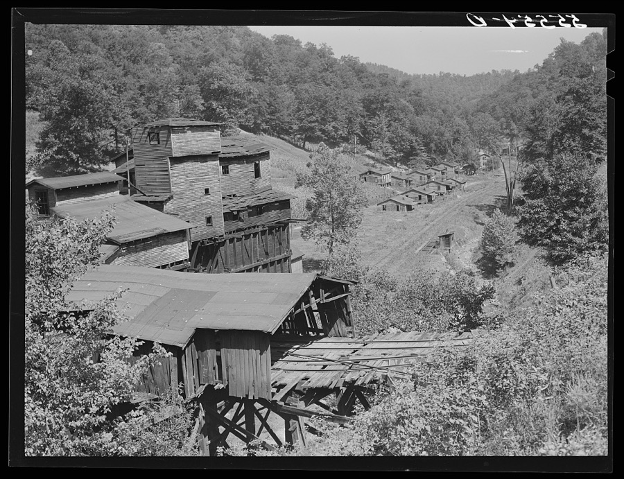
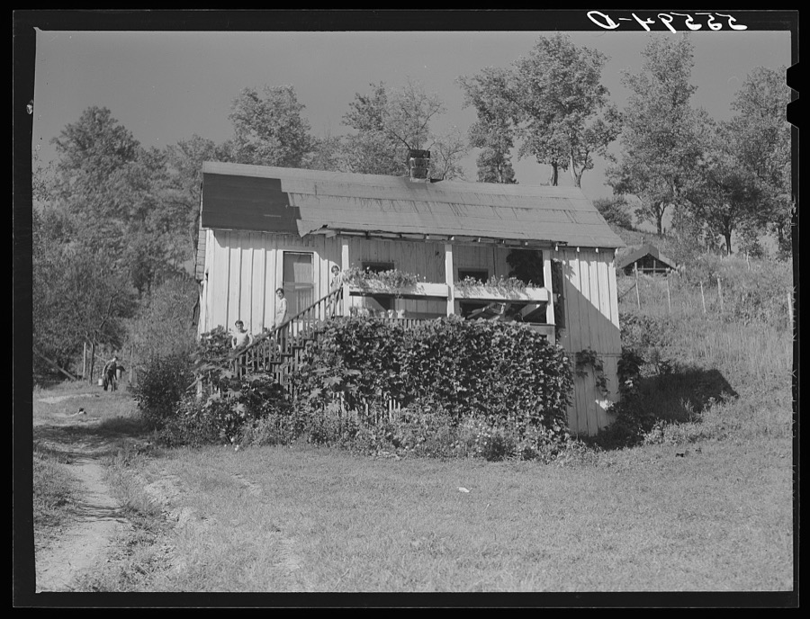

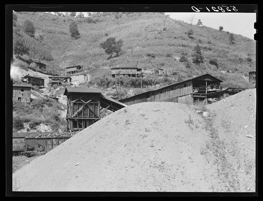
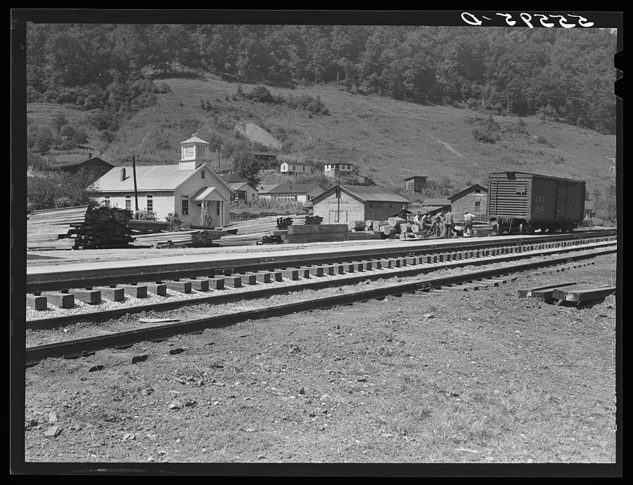
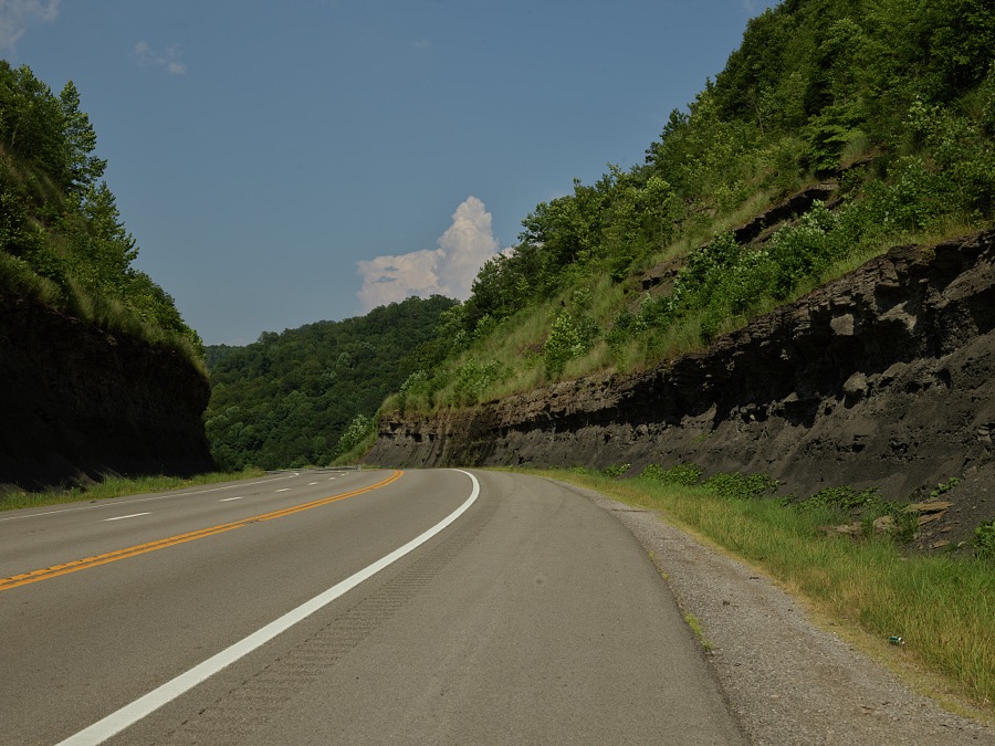

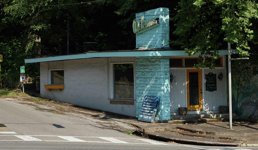
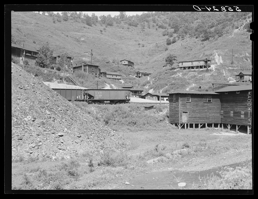
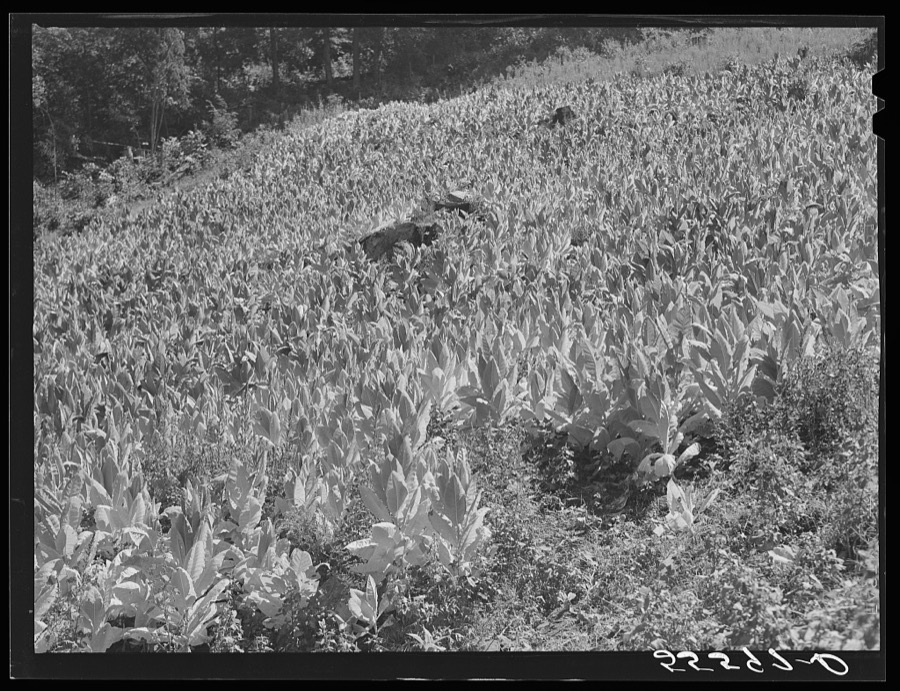
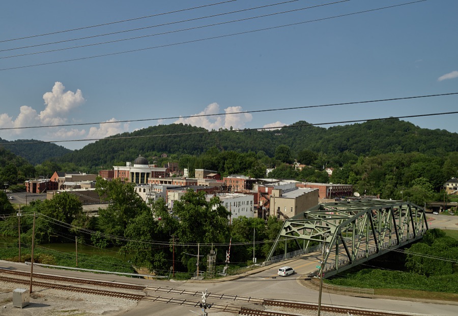
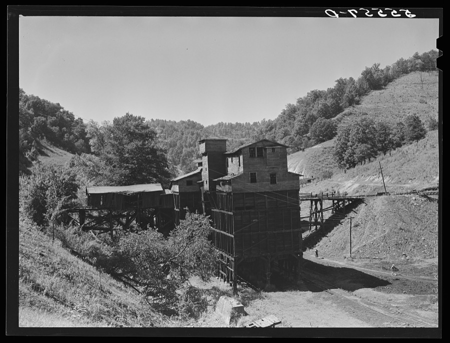

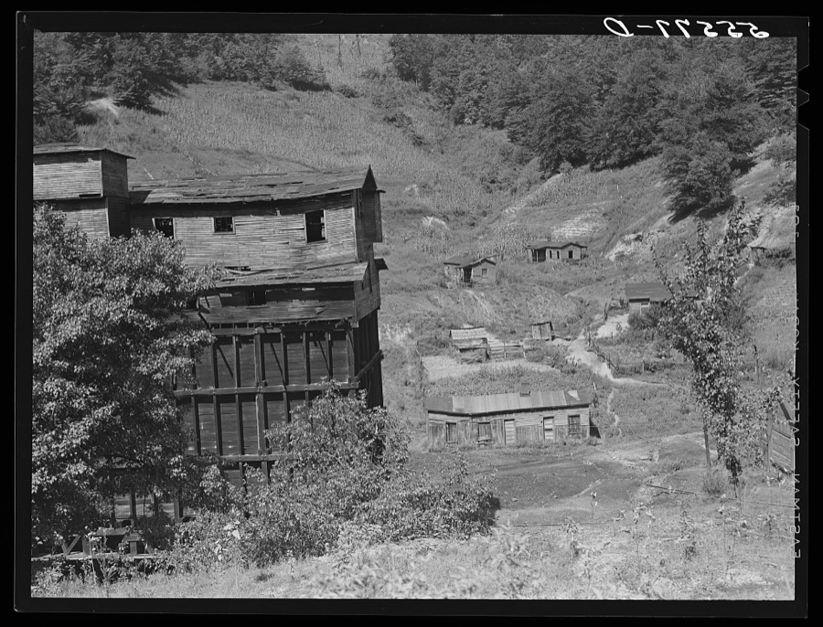
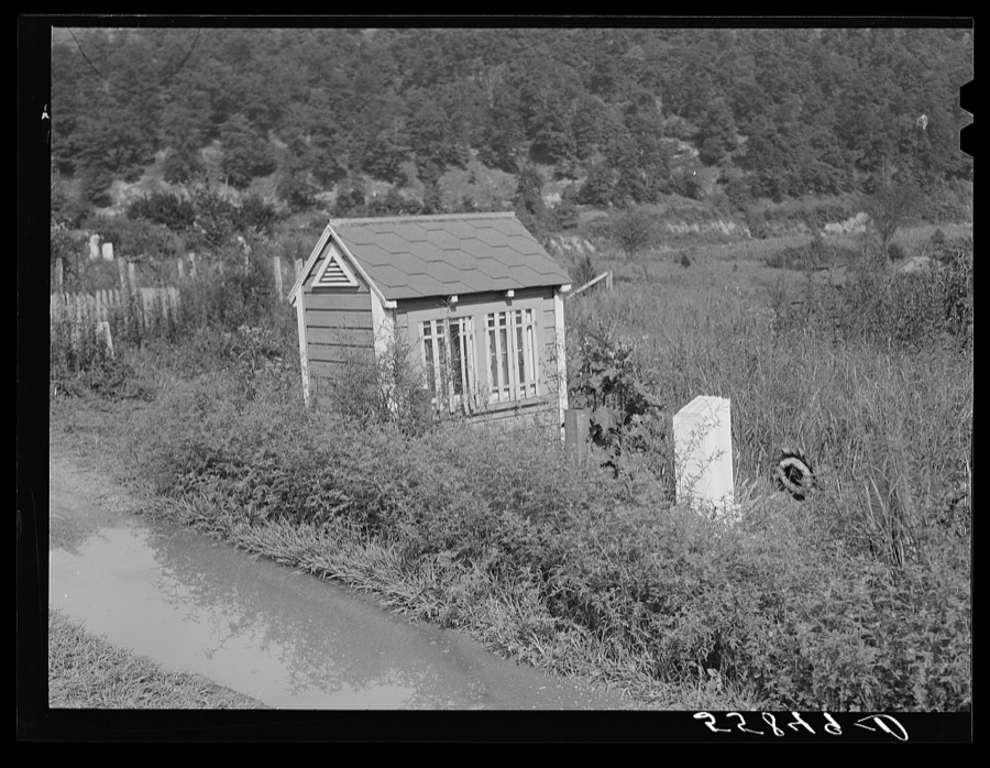
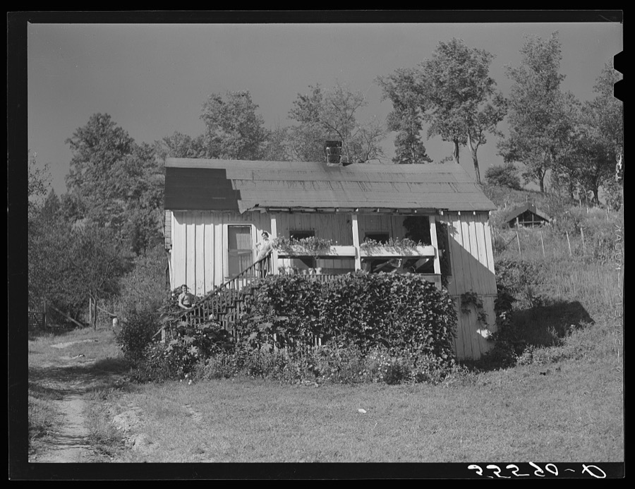
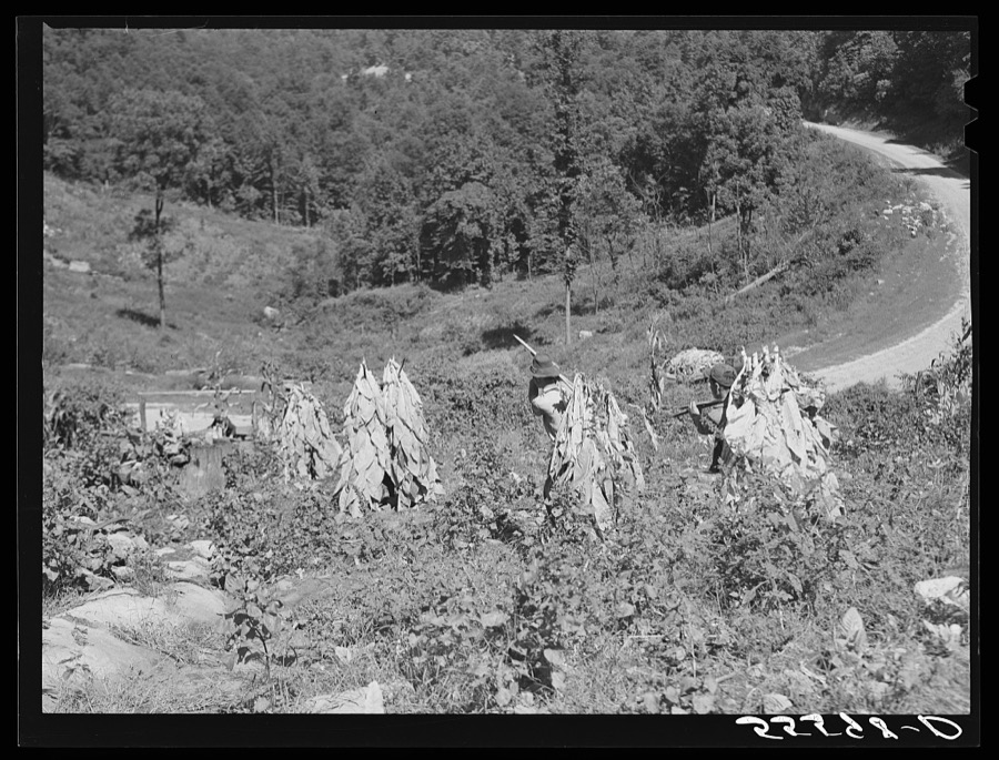
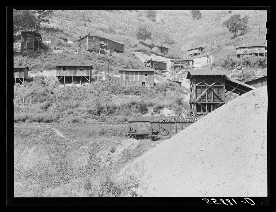
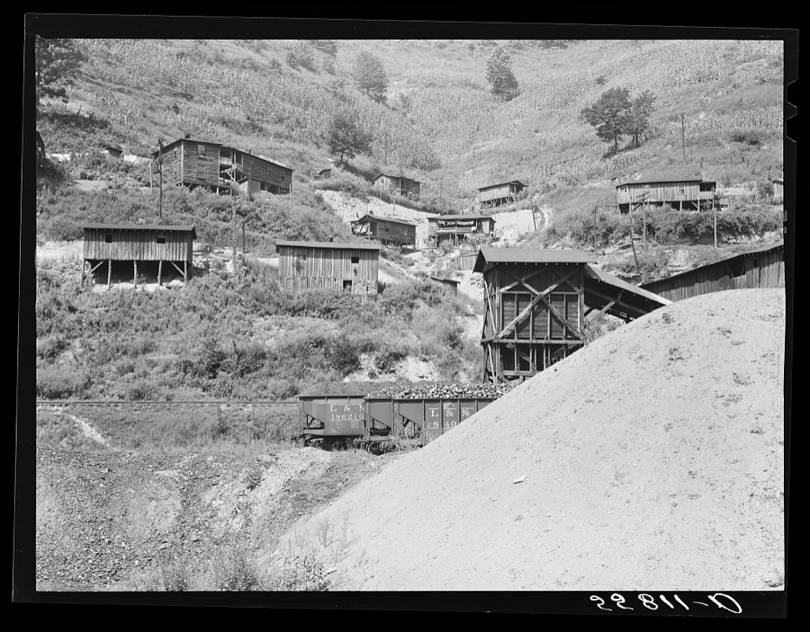
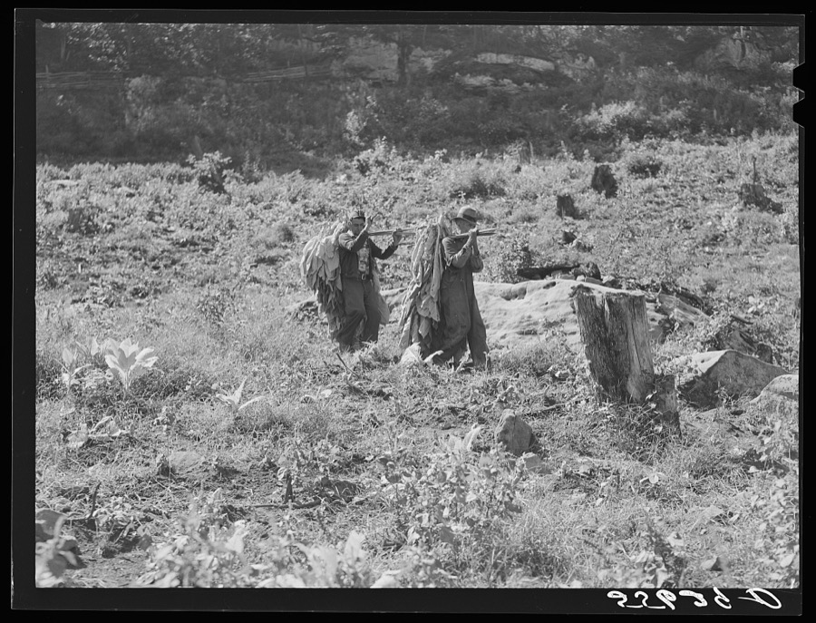
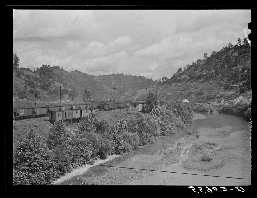
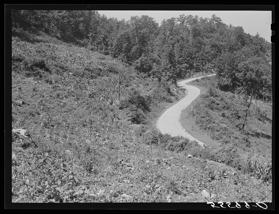
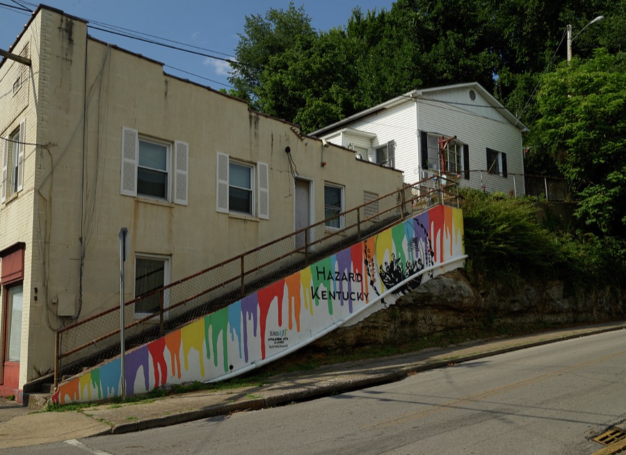
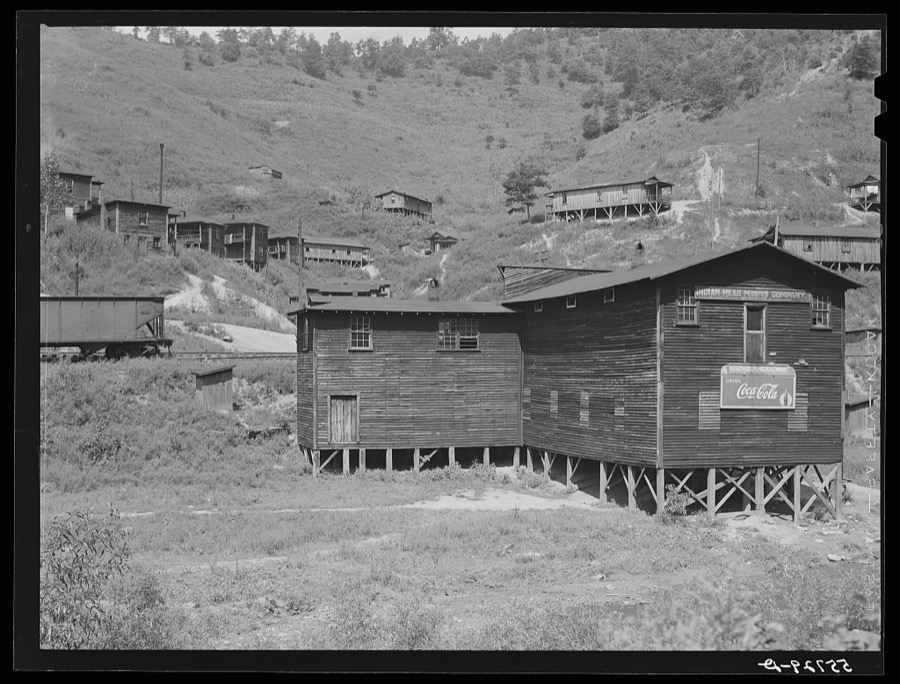
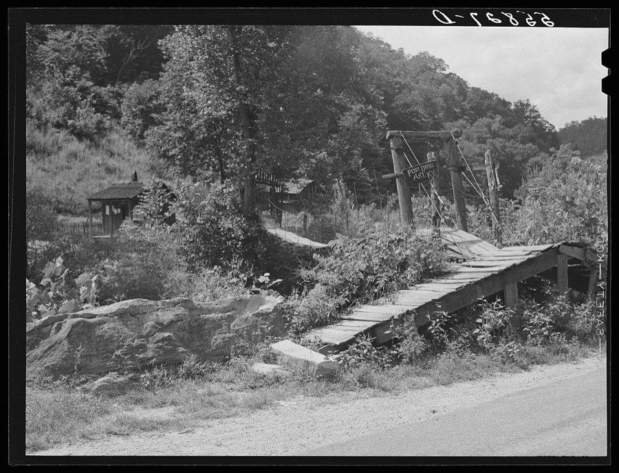
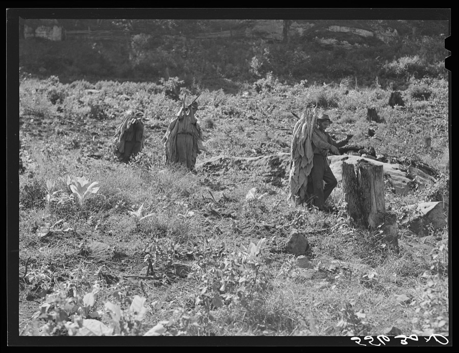
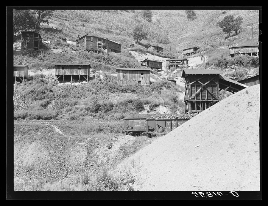
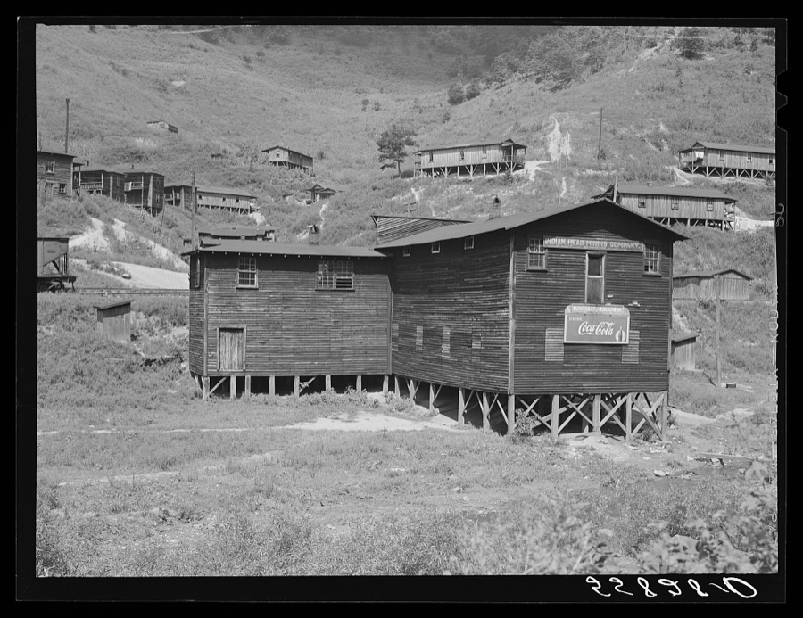
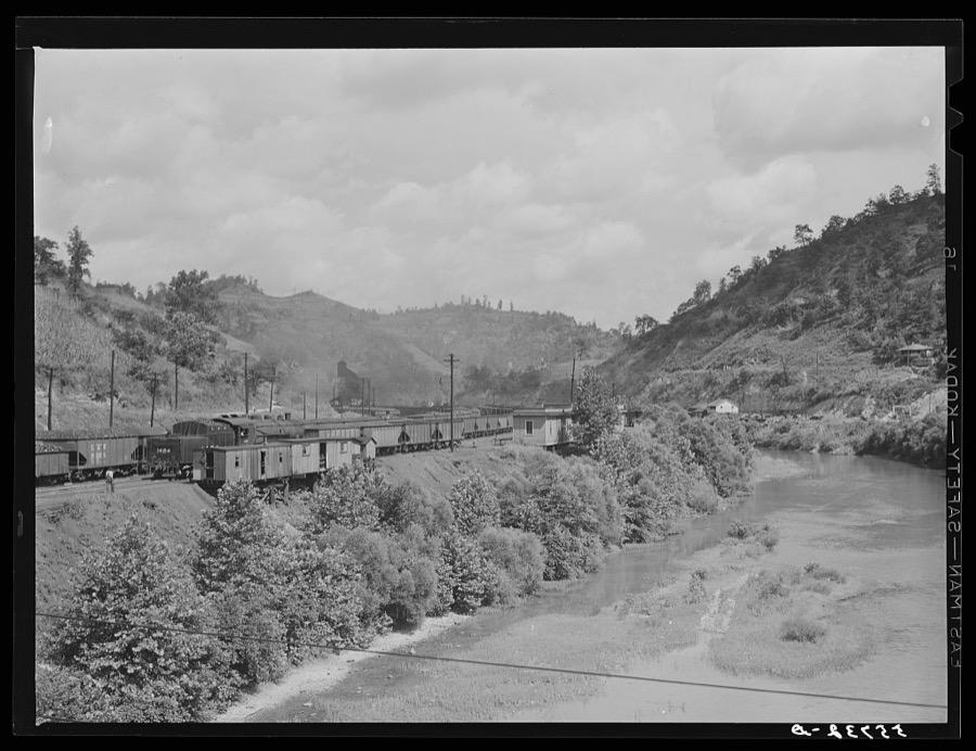
Every property in this county listed on the National Register of Historic Places, with the year it was listed and the federal nomination document.
| Photograph | Property | Type | Listed | Reference |
|---|---|---|---|---|
 | Buckhorn Presbyterian Church and the Greer Gymnasium | building | 1975 | 75000818 |
| Memorial Gym | building | 2024 | 100009729 | |
| Ritchie Family Home Place | building | 2024 | 100010243 |
Sampled issues, machine-read from the Library of Congress scan and published page by page, so every headline and column is searchable text.
Hazard, Ky., 1911 to 1975. Machine-read from the Library of Congress scan.
Hazard, Ky., 192? to 19??. Machine-read from the Library of Congress scan.
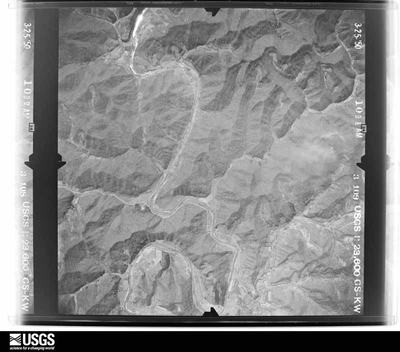
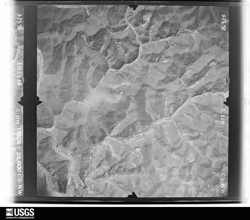
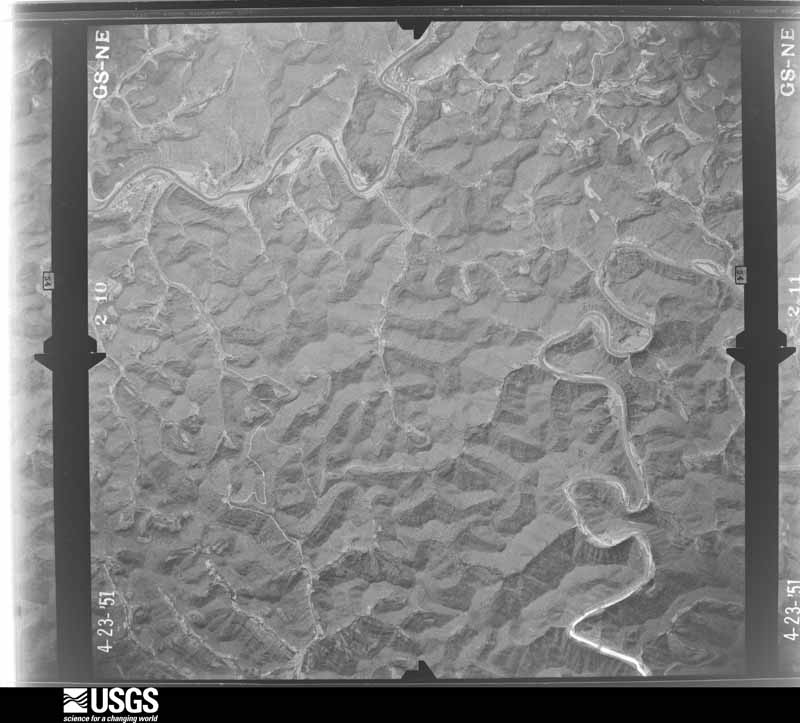
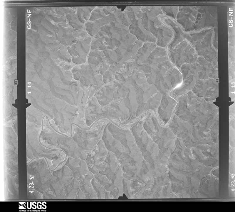
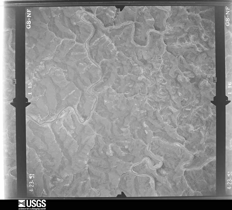
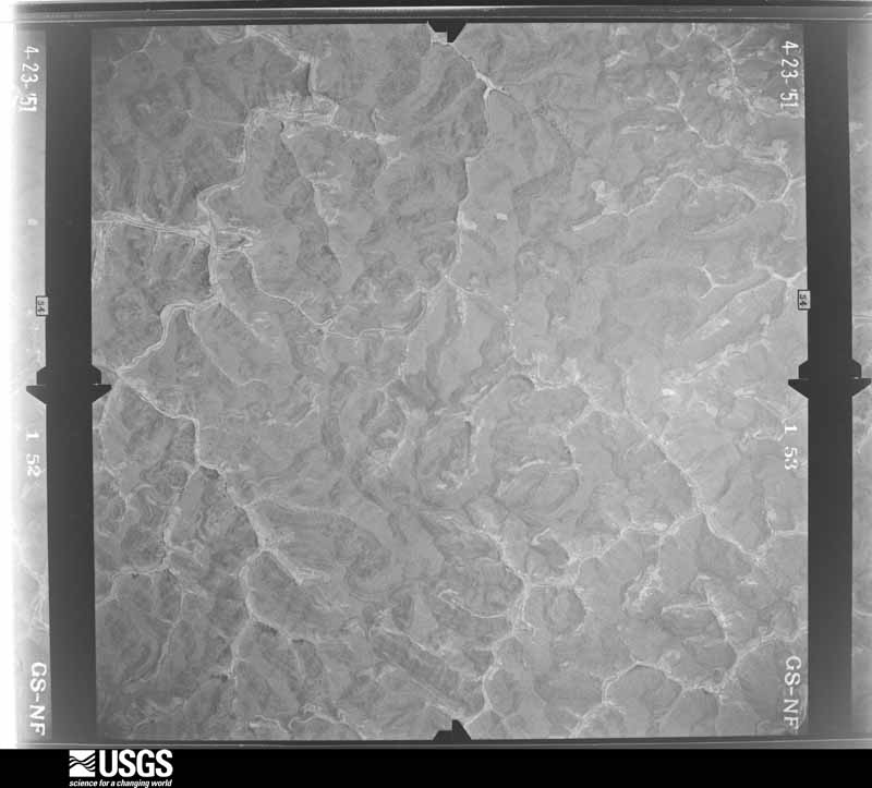
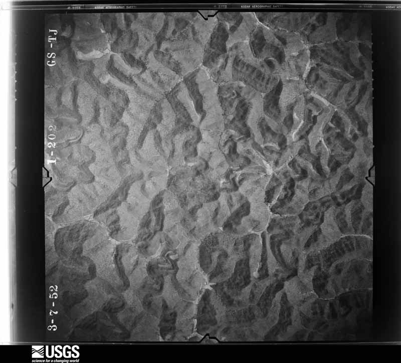
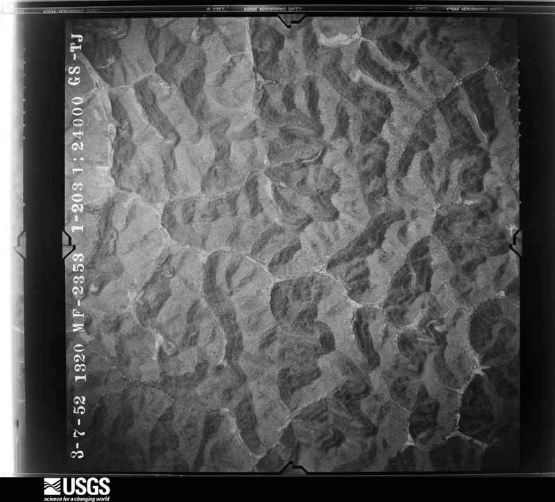
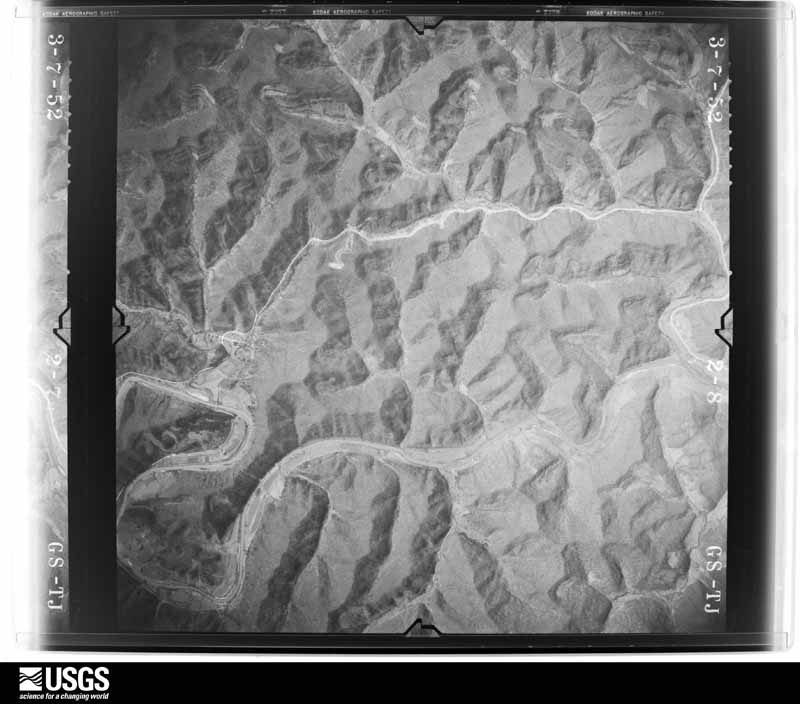
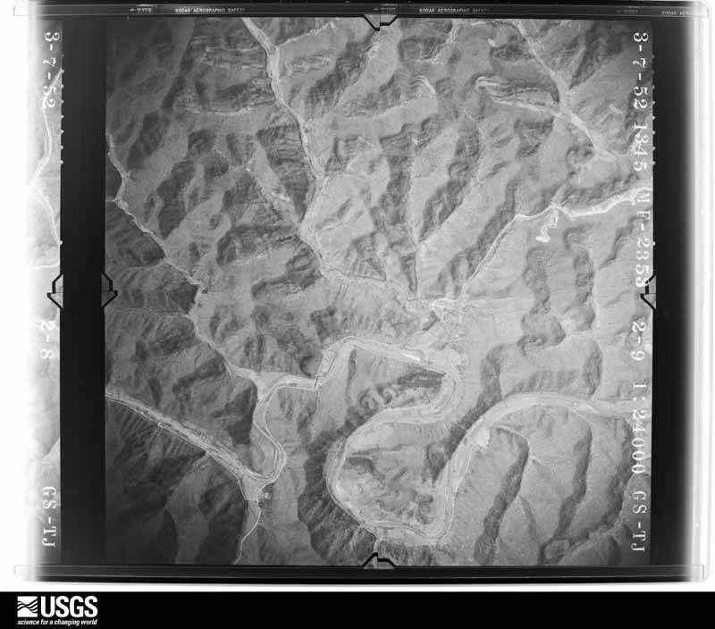
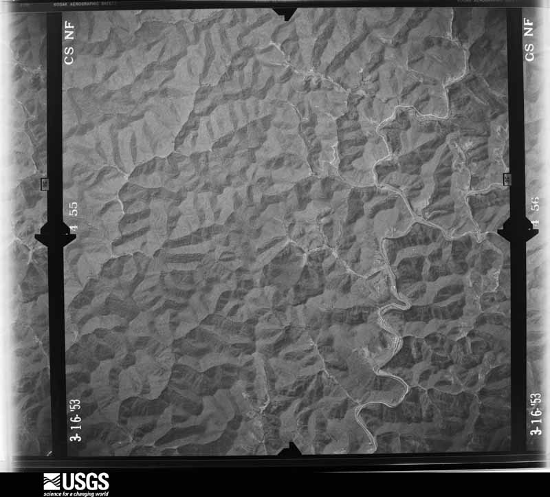
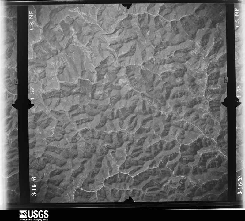
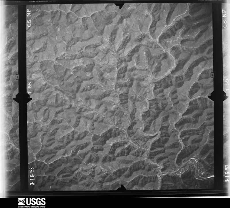
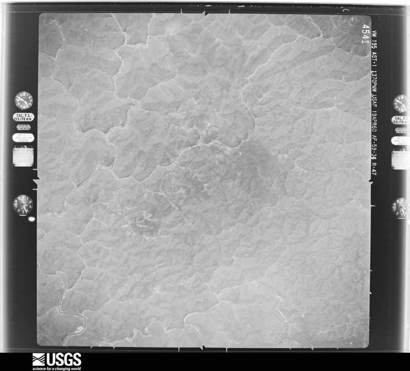
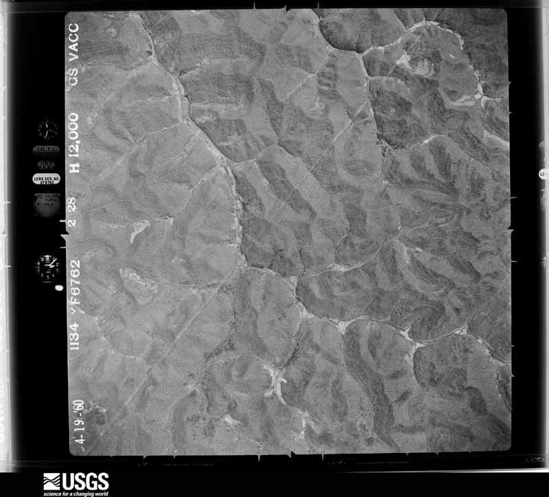
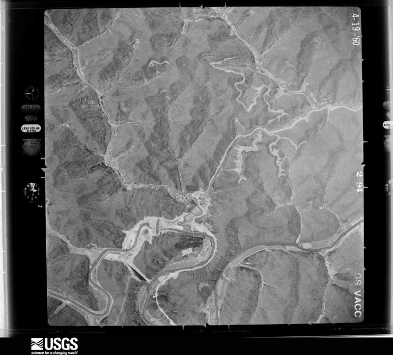
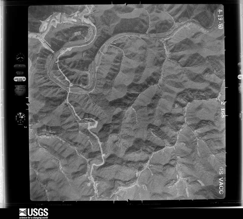
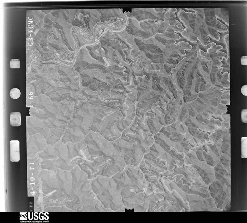
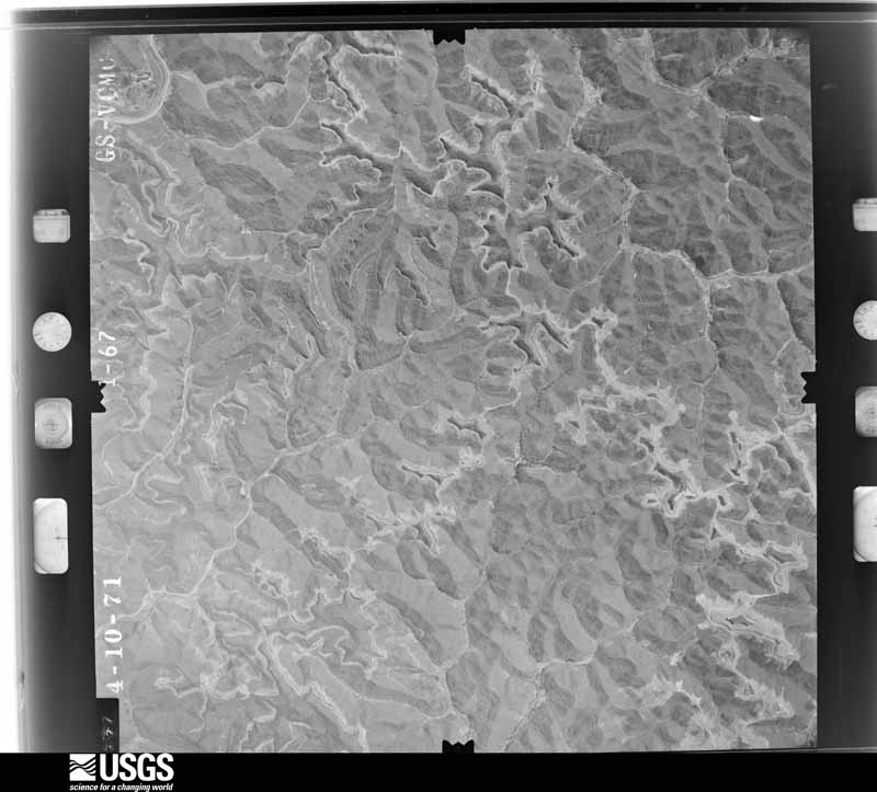
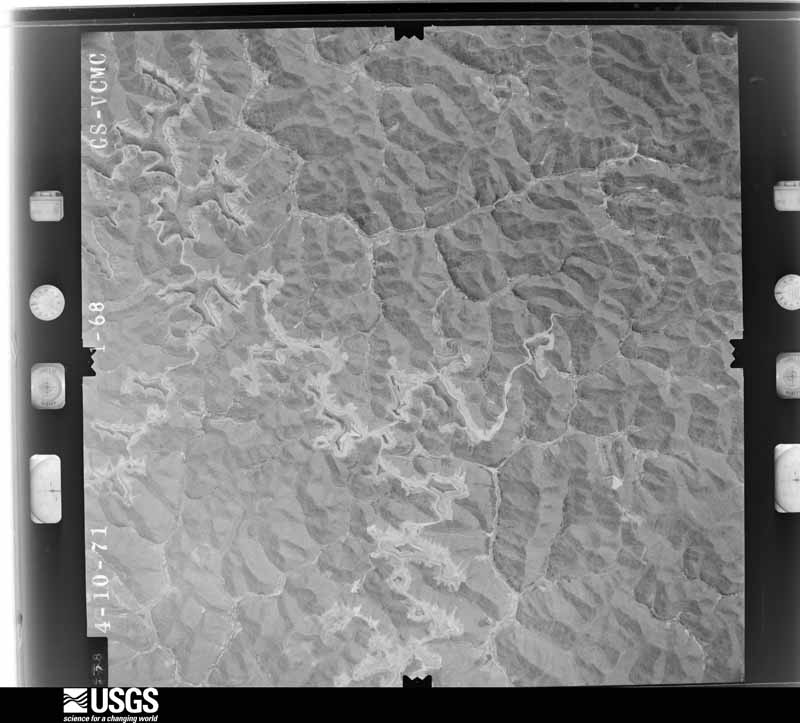
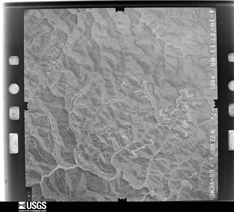
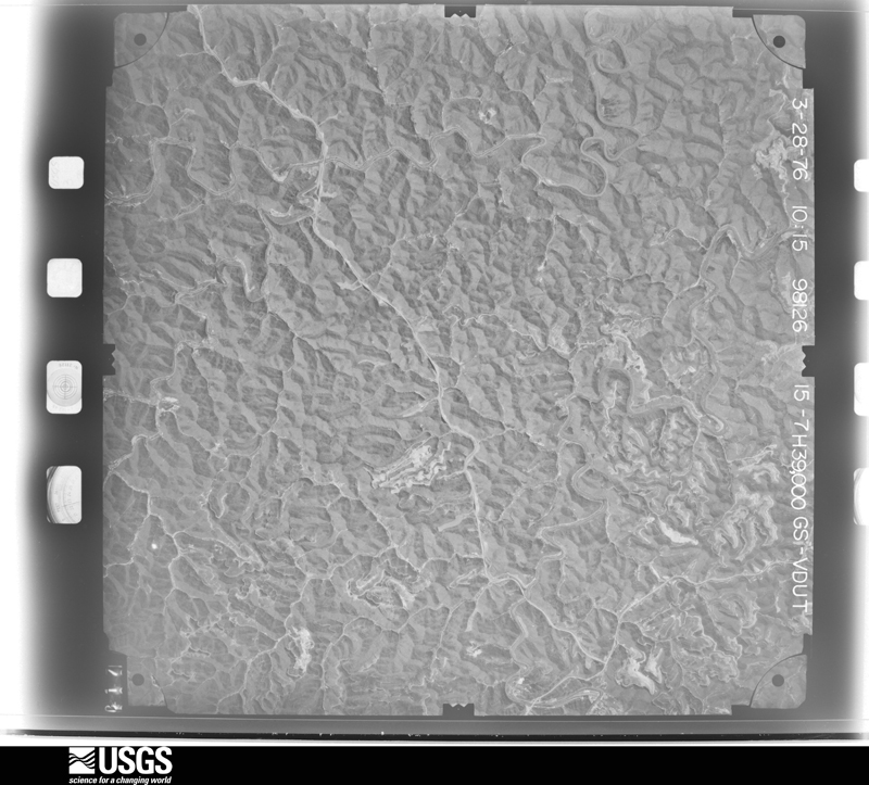
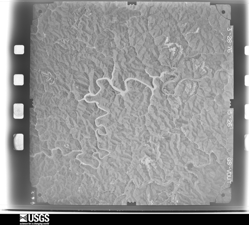
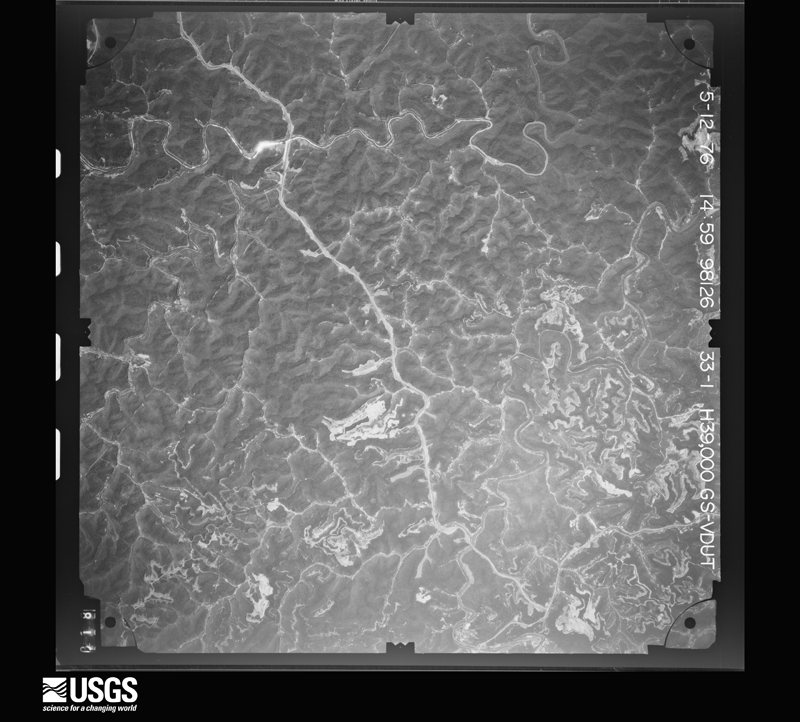
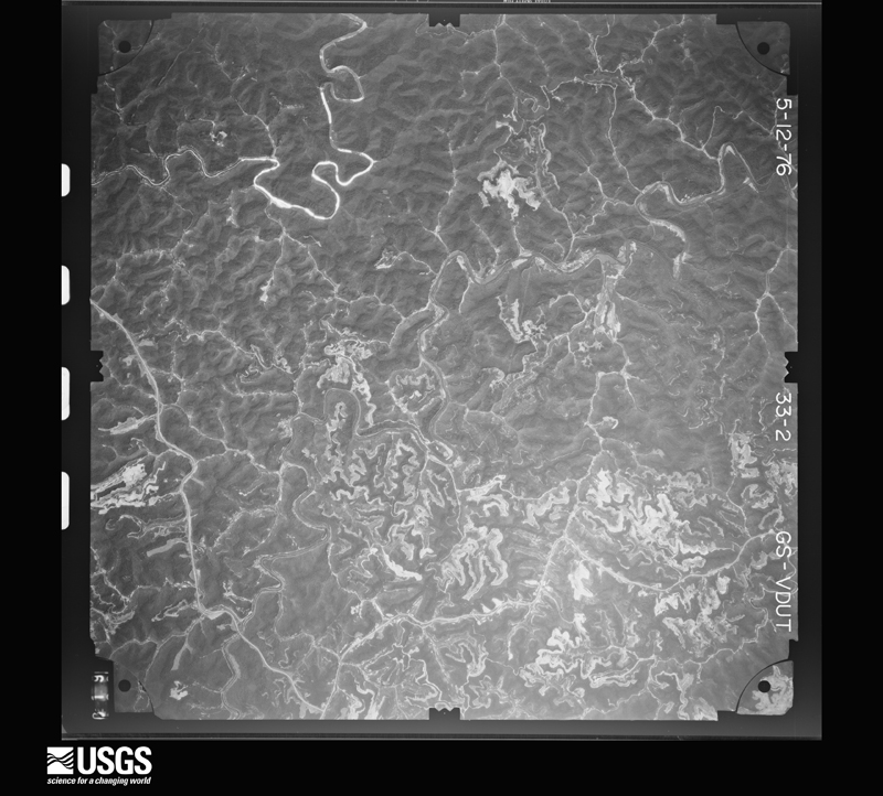
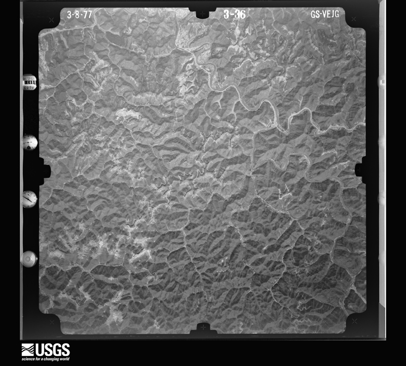
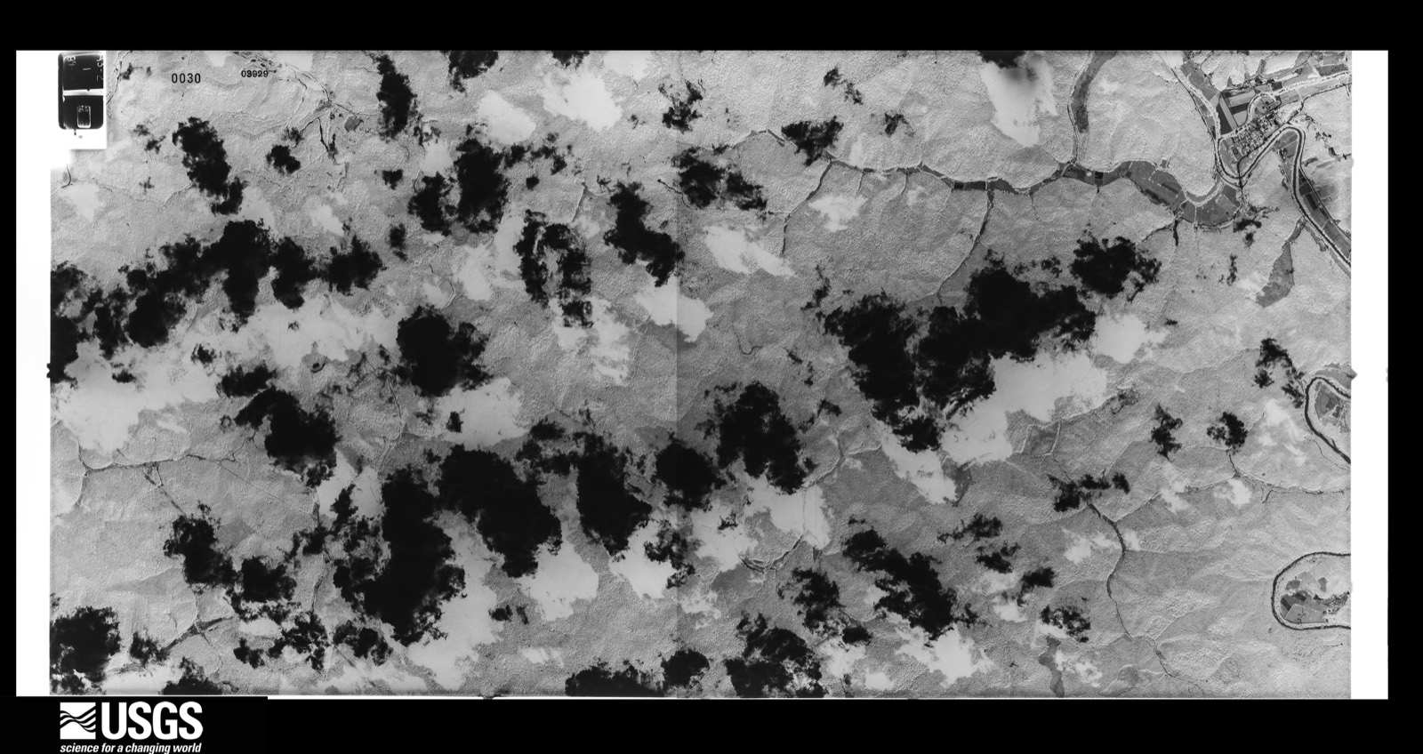
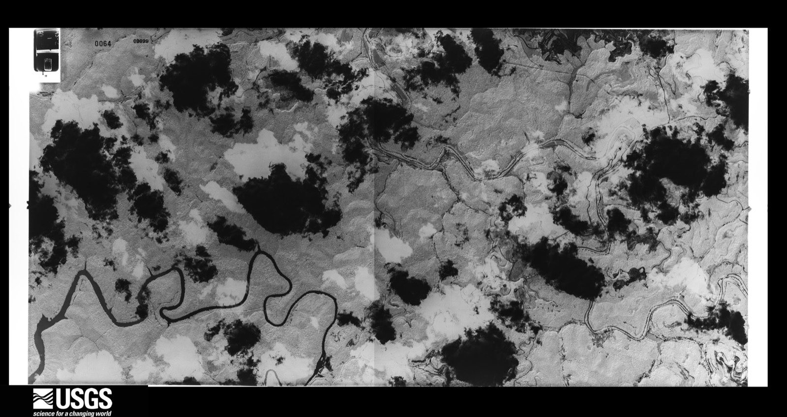
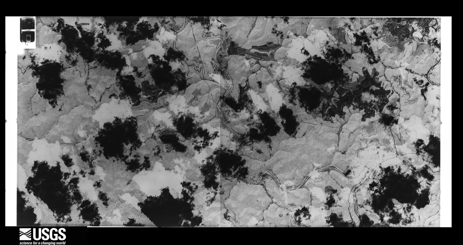
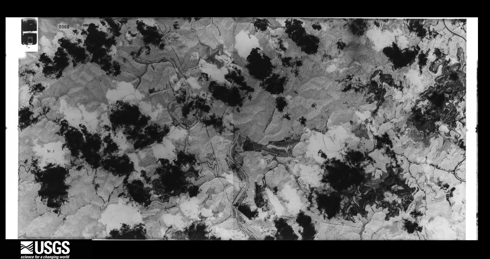
Flown by the U.S. Geological Survey between 1937 and 1989, the Aerial Photo Single Frames collection is the definitive mid-century view of the land: fields, roads and rivers as the camera saw them. The Survey holds 1,038 frames inside the rectangle that bounds this county; the 36 frames below were taken over the county itself, chosen across the decades of flights (at most four a year from that rectangle), so one flight cannot crowd out the rest. The full set is free to browse and download at EarthExplorer under the dataset Aerial Photo Single Frames.






The thermometers that kept this county's weather, and the gages that measured the flow of its streams, as the federal records hold them. The extremes below are measured values from those records, not estimates.
Who lived here in 1950, one enumeration district at a time, as the Census Bureau described each district. Each row opens its official National Archives result, with Population Schedules and ED Maps available there.
Every wildfire the federal occurrence database records inside this county: 1,991 of them, burning about 87,770 acres. 4 started naturally and 420 were recorded as arson. Each settlement page carries the fires within five miles of it.
| Reported cause | Fires |
|---|---|
| Debris and open burning | 778 |
| Missing data/not specified/undetermined | 598 |
| Arson/incendiarism | 420 |
| Recreation and ceremony | 149 |
| Equipment and vehicle use | 14 |
| Smoking | 11 |
| Misuse of fire by a minor | 9 |
| Railroad operations and maintenance | 8 |
| Natural | 4 |
The five largest, by the area the report gives. Four of them were set deliberately.
| Date | Cause | Size | Reported by | Name on the report |
|---|---|---|---|---|
| 5 March 2000 | Arson/incendiarism | 3,040 acres | Kentucky Division of Forestry | not named |
| 4 November 2005 | Missing data/not specified/undetermined | 3,000 acres | Kentucky Division of Forestry | MACES CR. # 1 |
| 1 November 2001 | Arson/incendiarism | 2,500 acres | Kentucky Division of Forestry | not named |
| 8 November 2001 | Arson/incendiarism | 1,575 acres | Kentucky Division of Forestry | not named |
| 28 November 2005 | Missing data/not specified/undetermined | 1,500 acres | Kentucky Division of Forestry | TOWN MTN |
| 5 October 2007 | Missing data/not specified/undetermined | 1,355 acres | Kentucky Division of Forestry | KENTUCKY RIVER COMPLEX |
| 10 November 2001 | Arson/incendiarism | 1,350 acres | Kentucky Division of Forestry | not named |
| 10 April 2013 | Missing data/not specified/undetermined | 1,059 acres | Kentucky Division of Forestry | ZORRO |
Every settlement page carries the fires within five miles of it - see the settlement index below.
The NOAA Storm Events Database holds 387 reports for this county, causing 7 deaths, 2 injuries and about $2,470,710 in recorded property damage. Each settlement page carries the reports that name it.
| Kind of event | Reports |
|---|---|
| Thunderstorm Wind | 219 |
| Hail | 60 |
| Flash Flood | 55 |
| Heavy Rain | 25 |
| Flood | 21 |
| Debris Flow | 5 |
| Tornado | 1 |
| Funnel Cloud | 1 |
The most serious of them, by death, then injury, then recorded damage. The accounts are quoted exactly as the forecast office filed them.
| When | Event | Place named | Harm | What the report says |
|---|---|---|---|---|
| July 2022 | Flash Flood | Manuel | 6 killed | Multiple reports of flash flooding were made across northeast Perry County, especially along Troublesome Creek. Reports included:||12:10 AM EST - Flash flood waters were reported over KY-476 in the Dwarf area. |2:00 AM EST - Pictures on social media show multiple homes swept away by flash flood waters along Lost Creek, adjacent to the intersection of KY-15 and Lost Creek-Dice Road. |2:30 AM EST - Robinson Elementary School was completed inundated by flash flood waters from Troublesome Creek.|2:30 AM EST - Pigeonroon-Bulan Road is innundated near the KY-476 intersection by flash flooding from Troublesome Creek. |
| July 2022 | Flash Flood | Saul | 1 killed | Extensive flash flooding occurred in northwest Perry County. Some of the reports include:||12:00 AM EST - Water rescues were performed on Cam Johnson Branch and Freeman Fork Road in the Buckhorn community.|12:00 AM EST - Water rescues were performed on Garfield Lane and Keneva Road in the Chavies community.|12:00 AM EST - Public reported a house is cascading into a creek, split in half. |12:00 AM EST - Pictures on social media show mud and debris along the floor at the Davidson Church along KY-28. |12:00 AM EST - Severe flash flood damage and bridge washed out near the intersection of Buck Branch Road and KY-28 near Chavies. |2:27 AM EST - Pictures on social media show significant flash flooding through Buckhorn School. |2:40 AM EST - Buckhorn School is flooded and nearby Squabble Creek is out of its banks.|6:00 AM EST - The cooperative observer at Buckhorn Lake reported 8 inches of rainfall in a 24 hour period. |
| August 2001 | Flash Flood | South Portion | 1 hurt, $385,000 | The southern portion of the county was hit by several hours of heavy rains which resulted in flash flooding. The damages were extensive enough to classify the county as a Presidentially declared disaster area. Over four inches of rain fell in a short period of time causing runoff from surrounding mountains to deluge Montgomery, Little and Big Leatherwood, Stonyfork and Bull creeks. Most of the damages that resulted were to the roads and bridges in the area. Creeks and streams overflowed their banks causing erosion to road sides. Some roads were actually washed away all together. A large number of homes in the area also received damage from the flash flooding.A man was swept away in Montgomery Creek though two culverts and ended up an 1/8 of a mile downstream in a neighbors garden. He received some broken ribs and a punctured lung. Residents in the area reported that 7 to 8 cars that were stacked in the Montgomery Creek bed 30 years ago to keep the bank from washing away were swept down stream when the creek quickly rose at least 2 feet in an hour. The river depth rose 6 feet in an hour at Hazard. The river had never been known to rise so fast. |
| July 1984 | Thunderstorm Wind | not stated | 1 hurt | no account filed |
| June 2013 | Flash Flood | Avawam | $500,000 | Extensive flooding was reported in the Big Creek area along Hwy 1096. Cars were reported to have been washed away with water also entering houses in the area. One water rescue took place for people trapped in rising waters in the area. The Big Creek Elementary school was flooded by as much as 3.5 feet of water. The interior of the building received only minor damage. |
| April 1998 | Flash Flood | Countywide | $300,000 | no account filed |
| May 1996 | Flash Flood | Hazard | $150,000 | no account filed |
| April 1998 | Flash Flood | Countywide | $100,000 | no account filed |
| June 2009 | Flash Flood | Dwarf | $75,000 | Approximately 25 homes were flooded along Highway 476 between Dwarf and Bulan. Rain started in the area around 530 am. A local rain gage measured 3 inches of rain between 530 and 630 am. |
| February 2020 | Flood | Hazard Arpt | $55,000 | Dispatch reported River Road was closed due to high water near the VFW Post in Hazard. East Main Street along with other side roads were also inundated along the North Fork of the Kentucky River, along with a few buildings. |
| May 2009 | Thunderstorm Wind | Hazard | $50,000 | Thunderstorm wind gusts downed power lines in the communities of Acup, Stormking, Coal Harbor, Tiger Hill, and Scuddy. Three thousand people were without power throughout the county. |
| May 2004 | Thunderstorm Wind | Vicco | $50,000 | A tree fell on a house, and several other trees were down in the area. |
| May 2024 | Thunderstorm Wind | Avawam | $40,000 | Numerous reports of trees down in the Avawam community, including onto a mobile home, power lines, and roads. |
| May 2009 | Thunderstorm Wind | Jeff | $40,000 | Trees and power lines were blown down between Jeff and Vicco along and near the Hwy 15 corridor causing power outages. |
| May 2009 | Thunderstorm Wind | Hazard | $35,000 | Numerous trees were reported downed in Hazard and areas south. |
| August 2010 | Thunderstorm Wind | Hazard | $30,000 | Numerous trees and power lines were blown down in the Busy, Big Willard, and Briar Fork communities. |
| February 2009 | Thunderstorm Wind | Hazard | $30,000 | The public reported numerous trees were blown down with power outages in Hazard. |
| April 2007 | Flash Flood | Viper | $30,000 | Lewis Hollow Road washed out by flood water. |
| April 2007 | Thunderstorm Wind | Jeff | $30,000 | Public report of numerous trees and power lines down in Jeff, KY about 6 miles south of Hazard. Also, roof blown off a home in Vicco. |
| May 2018 | Debris Flow | Leatherwood | $20,000 | Local media reported a mudslide near Leatherwood, resulting in damage to a trailer below the falling mud and water. |
| July 2010 | Flash Flood | Browns Fork | $20,000 | Part of Browns Fork Road was washed out near Highway 451. |
| April 2008 | Thunderstorm Wind | Hazard | $20,000 | Powerlines were blown down on Typo Road. |
| May 2025 | Thunderstorm Wind | Browns Fork | $15,000 | County dispatch reported a tree bringing down power lines onto a residence in the 2600 block of Big Creek Road, near the communty of Whitaker, southwest of Hazard. |
| February 2021 | Flash Flood | Krypton | $15,000 | Hwy 451 was shut down due to flash flooding in the Krypton community. The fire department also had to rescue someone from the flood waters. |
| February 2018 | Flood | Hazard | $15,000 | A water rescue had to be performed in Bonnyman on Typo Road. Four individuals and pets were trapped inside a home after it had become surrounded by 4 feet of water after First Creek overtopped its banks. A water rescue also had to be performed on Cherokee Hills Road in Hazard after a man drove his car into the north fork of the swollen Kentucky River. |
| June 2010 | Thunderstorm Wind | Bulan | $15,000 | Trees and power lines were blown down in Bulan. |
| June 2010 | Thunderstorm Wind | Viper | $15,000 | Trees and power lines were blown down in Viper. |
| June 2010 | Thunderstorm Wind | Vicco | $15,000 | Trees and power lines were blown down in Vicco. |
| June 2010 | Thunderstorm Wind | Chavies | $15,000 | Trees and power lines were blown down in Chavies. |
| June 2010 | Thunderstorm Wind | Hazard | $15,000 | Trees and power lines were blown down in Hazard. |
| October 2001 | Thunderstorm Wind | Hazard | $15,000 | Strong winds produced damage at the Hazard Technical College. Winds ripped a brick wall from one end of a building. An emptied truck trailer in the parking lot was also blown over and it slid into a bull dozer producing damage. |
| May 2025 | Thunderstorm Wind | Delphia | $10,000 | A power pole was reported blown down, leaving power lines on a residence and transformer on a driveway in the 2000 block of KY-463, just west of the Delphia community. |
| February 2019 | Heavy Rain | Dice | $10,000 | The Department of Highways reported a major break in the pavement of Kentucky Highway 267 near Dice, following heavy rain on the 23rd. This forced the closure of the road for several days. |
| August 2014 | Flash Flood | Chavies | $10,000 | Heavy rainfall from slow moving thunderstorms on saturated ground produced several areas of flash flooding across Perry County, including along Big Willard Road where several people were trapped in the Big Willard School. Grapevine Creek also flooded the Davidson Church along Highway 28 and flash flooding was reported along Bulan Hiner Road and along Old Highway 80 West near Combs. Several mudslides were also reported in Grapevine and Chavies. |
| July 2012 | Flash Flood | Coolidge | $10,000 | Fort Branch Rd was washed out and undercut by flood waters and homes on highway 1165 were flooded. |
| August 2010 | Thunderstorm Wind | Hazard | $10,000 | Numerous trees were blown down in the Hazard and Viper areas. |
| April 2009 | Thunderstorm Wind | Hazard | $10,000 | Trees and power lines were blown down near Glomawr. |
| June 2007 | Thunderstorm Wind | Hazard | $10,000 | Trees down near 1166 and Route 7 intersection. Also near Route 7 and Route 15 intersection. |
| July 2006 | Thunderstorm Wind | Hazard | $10,000 | Falling tree smashed a trailer. Numerous trees down in town. |
| May 2003 | Thunderstorm Wind | Hazard | $10,000 | Power poles, power lines, and trees were down. |
| July 2003 | Thunderstorm Wind | Dow | $10,000 | Numerous trees were down along with widespread power outages in the community of Viper. |
| July 2003 | Thunderstorm Wind | Vicco | $10,000 | Numerous trees were down. There were widespread power outages through the area. |
| August 2001 | Thunderstorm Wind | Buckhorn | $10,000 | Numerous trees were blown down. One tree fell and crushed a car at Squabble Creek. No injuries were reported. |
| February 2020 | Flood | Viper | $8,000 | Dispatch relayed a report of water over Upper River Road near Viper. Additionally, a couple of homes near Viper and Jeff had water get under their floors and carpet. |
| May 2009 | Flash Flood | Dunraven | $8,000 | A car was swept away in Hazard. |
| February 2008 | Thunderstorm Wind | Hazard | $8,000 | Both trees and powerlines were blown down by thunderstorm wind gusts. |
| June 2009 | Thunderstorm Wind | Slemp | $7,000 | Several trees were down along Highways 7 and 699. |
| June 2009 | Thunderstorm Wind | Hazard | $7,000 | One tree and several power lines were blown down. |
| January 2008 | Thunderstorm Wind | Viper | $7,000 | Trees were blown down by wind gusts estimated at 62 mph. |
| July 2008 | Thunderstorm Wind | Hazard | $7,000 | Several trees were blown down within a 4 mile radius around the water plant. |
| May 2020 | Flash Flood | Hilton | $6,000 | A citizen reported 1.66 inches of rain in 30 minutes, leading to rapidly rising flood waters from Upper Second Creek near Hilton. As water overspilled onto Upper Second Creek Road, first responders had to perform water rescues. |
| July 2008 | Thunderstorm Wind | Buckhorn | $6,000 | Thunderstorm wind gusts tore down numerous large branches. |
| August 2022 | Flood | Lothair | $5,000 | High water in downtown Hazard caused a vehicle that was driven into the ponded water to stall. The high water may have been the result of poor drainage as rains moved through. |
| February 2019 | Heavy Rain | Tub | $5,000 | Kentucky Transportation Cabinet officials reported Kentucky Highway 3351 underwent a major break in pavement days after heavy rainfall on the 23rd. |
| August 2014 | Flash Flood | Boat | $5,000 | Over three inches of rain fell across northern Perry County. This amount of rain produced flash flooding which surrounded trailers in the Chavies Community, flooded a church near the intersection of Highway 15 and 28, and closed Highway 476 between Hardburly and Darfork. |
| December 2013 | Flood | Bonnyman | $5,000 | Flooding washed out a bridge on Typo Road south of Bonnyman. |
| July 2011 | Thunderstorm Wind | Slemp | $5,000 | A tree was blown down and onto power lines on Owens Branch Rd in Slemp. |
| January 2010 | Flood | Napfor | $5,000 | A member of the public received information from a 911 dispatcher about flooding problems around Perry county. Highway 2020 at Squabble Creek was under water below Buckhorn Dam. Water was also reported over Highway 28 in Perry County. Numerous rock slides have also been reported around the county between 3 and 8 pm on the 24th. |
| February 2009 | Thunderstorm Wind | Chavies | $5,000 | A roof was blown off a barn by thunderstorm wind gusts. |
| June 2009 | Thunderstorm Wind | Gays Creek | $5,000 | Trees were down on Highway 28. |
The Survey's mineral resources record lists 2 workings inside this county. None of them still produces: all are closed or unrecorded. Each settlement page carries the workings within five miles of it.
| Commodity | Workings |
|---|---|
| Clay | 2 |
The least common of them first, because a county's hundredth gravel pit says nothing its first ten did not.
| Where | Site | Commodity | Status | Recorded |
|---|---|---|---|---|
| Branch Gap Clay | Clay | Prospect | ||
| Buffalo Divide Shale | Clay | Prospect |
Named settlements recorded in the Geographic Names Information System, each with the topographic sheets covering it. Villages, hamlets and abandoned places alike. Each is shown with the nearest named watercourse or landform and the survey quadrangle it falls on. The 1 place that was also surveyed for fire insurance comes first, with the number of atlases and photographs held for them.
Hazard census division · 41701 · On Messer Branch · Hazard South quadrangle
16 sheets, 1891 to 1992
Fire insurance: 4 atlases
Defiance-Vicco census division · 41746 · On Acup Branch · Vicco quadrangle
16 sheets, 1891 to 1992
No longer a settlement
Hazard census division · 41701 · On Meadow Branch · Hazard North quadrangle
16 sheets, 1891 to 1992
Hazard census division · 41701 · Near Holiness Hollow · Hazard North quadrangle
16 sheets, 1891 to 1992
Defiance-Vicco census division · 41773 · On Stacy Branch · Vicco quadrangle
16 sheets, 1891 to 1992
Dice census division · 41712 · On Pigeonroost Branch · Hazard North quadrangle
16 sheets, 1891 to 1992
Hazard census division · 41701 · On Mudlick Fork · Hyden East quadrangle
14 sheets, 1891 to 1980
Daisy census division · 41731 · On Turkey Branch · Leatherwood quadrangle
13 sheets, 1891 to 1977
No longer a settlement
Daisy census division · 41763 · On Beehive Branch · Tilford quadrangle
14 sheets, 1891 to 1977
No longer a settlement
Viper census division · 41774 · On Big Branch · Vicco quadrangle
16 sheets, 1891 to 1992
No longer a settlement
Buckhorn census division · 41721 · On Schoolhouse Branch · Buckhorn quadrangle
14 sheets, 1891 to 1979
No longer a settlement
Hazard census division · 41719 · On Linx Creek · Hazard North quadrangle
16 sheets, 1891 to 1992
Hazard census division · 41719 · On Little Wolf Pen Branch · Hazard North quadrangle
16 sheets, 1891 to 1992
Buckhorn census division · 41721 · On Eversole Branch · Buckhorn quadrangle
14 sheets, 1891 to 1979
No longer a settlement
Hazard census division · 41701 · On Elm Lick Fork · Hazard South quadrangle
16 sheets, 1891 to 1992
Buckhorn census division · 41721 · On Schoolhouse Branch · Buckhorn quadrangle
14 sheets, 1891 to 1979
Hazard census division · 41722 · On Godsy Creek · Hazard North quadrangle
16 sheets, 1891 to 1992
Hazard census division · 41723 · On Big Willard Creek · Krypton quadrangle
13 sheets, 1891 to 1977
Krypton census division · 41719 · On Lower Second Creek · Krypton quadrangle
13 sheets, 1891 to 1977
Krypton census division · 41754 · On Sam Campbell Branch · Krypton quadrangle
13 sheets, 1891 to 1977
No longer a settlement
Krypton census division · 41754 · On Sam Campbell Branch · Krypton quadrangle
13 sheets, 1891 to 1977
No longer a settlement
Krypton census division · 41727 · On Eversole Creek · Krypton quadrangle
13 sheets, 1891 to 1977
Hazard census division · 41701 · On Gregory Branch · Hazard South quadrangle
16 sheets, 1891 to 1992
Hazard census division · 41719 · On Road Fork · Hazard North quadrangle
16 sheets, 1891 to 1992
Hazard census division · 41701 · On Lick Branch · Hazard North quadrangle
16 sheets, 1891 to 1992
Daisy census division · 41731 · On Leatherwood Creek · Vicco quadrangle
16 sheets, 1891 to 1992
Hazard census division · 41701 · On Curly Fork · Hazard South quadrangle
16 sheets, 1891 to 1992
No longer a settlement
Daisy census division · 41731 · On Right Fork Hicks Branch · Tilford quadrangle
14 sheets, 1891 to 1977
Hazard census division · 41701 · On Lotts Creek · Hazard North quadrangle
16 sheets, 1891 to 1992
Defiance-Vicco census division · 41746 · On White Oak Branch · Vicco quadrangle
16 sheets, 1891 to 1992
Daisy census division · 41735 · On Ax Handle Branch · Tilford quadrangle
14 sheets, 1891 to 1977
Hazard census division · 41701 · On Buffalo Creek · Hazard South quadrangle
16 sheets, 1891 to 1992
Dice census division · 41701 · On Sixteenmile Creek · Hazard North quadrangle
16 sheets, 1891 to 1992
Buckhorn census division · 41721 · On Meadow Fork · Mistletoe quadrangle
13 sheets, 1891 to 1979
Viper census division · 41774 · On Hollythicket Branch · Hazard South quadrangle
16 sheets, 1891 to 1992
Krypton census division · 41754 · On Rocklick Branch · Krypton quadrangle
13 sheets, 1891 to 1977
Hazard census division · 41739 · On Engle Fork · Hazard North quadrangle
16 sheets, 1891 to 1992
Krypton census division · 41727 · On Hollybush Branch · Haddix quadrangle
13 sheets, 1891 to 1977
Hazard census division · 41701 · On Jacks Branch · Hazard South quadrangle
16 sheets, 1891 to 1992
No longer a settlement
Viper census division · 41774 · On Wells Fork · Hazard South quadrangle
16 sheets, 1891 to 1992
Viper census division · 41701 · On Four Seam Branch · Hazard South quadrangle
16 sheets, 1891 to 1992
Viper census division · 41774 · On Fort Branch · Vicco quadrangle
16 sheets, 1891 to 1992
No longer a settlement
Buckhorn census division · 41745 · On Stable Fork · Buckhorn quadrangle
14 sheets, 1891 to 1979
Hazard census division · 41701 · On Raccoon Creek · Hazard South quadrangle
16 sheets, 1891 to 1992
Hazard census division · 41701 · On Grigsby Branch · Hazard North quadrangle
16 sheets, 1891 to 1992
Defiance-Vicco census division · 41746 · On White Oak Branch · Vicco quadrangle
16 sheets, 1891 to 1992
Hazard census division · 41701 · On Crawford Branch · Hazard North quadrangle
16 sheets, 1891 to 1992
No longer a settlement
Hazard census division · 41722 · On Ground Hog Branch · Carrie quadrangle
16 sheets, 1891 to 1992
Hazard census division · 41719 · On Andy Camp Branch · Hazard North quadrangle
16 sheets, 1891 to 1992
Hazard census division · 41701 · Near Still House Hollow · Hazard North quadrangle
16 sheets, 1891 to 1992
Hazard census division · 41722 · On Godsy Creek · Hazard North quadrangle
16 sheets, 1891 to 1992
Hazard census division · 41723 · On Hurricane Branch · Krypton quadrangle
13 sheets, 1891 to 1977
No longer a settlement
Buckhorn census division · 41745 · On Cam Johnson Branch · Buckhorn quadrangle
14 sheets, 1891 to 1979
No longer a settlement
Dice census division · 41701 · On Sixteenmile Creek · Hazard North quadrangle
16 sheets, 1891 to 1992
No longer a settlement
Defiance-Vicco census division · 41773 · On Kelly Fork · Vicco quadrangle
16 sheets, 1891 to 1992
Krypton census division · 41754 · On Campbell Creek · Krypton quadrangle
13 sheets, 1891 to 1977
Krypton census division · 41701 · On Beech Branch · Krypton quadrangle
13 sheets, 1891 to 1977
Krypton census division · 41754 · On Lead Branch · Krypton quadrangle
13 sheets, 1891 to 1977
No longer a settlement
Daisy census division · 41763 · On Pine Stump Branch · Leatherwood quadrangle
13 sheets, 1891 to 1977
Hazard census division · 41723 · On Long Branch · Hyden East quadrangle
14 sheets, 1891 to 1980
No longer a settlement
Hazard census division · 41701 · Near Happy Hollow · Hazard South quadrangle
16 sheets, 1891 to 1992
Buckhorn census division · 41721 · On Mud Lick · Buckhorn quadrangle
14 sheets, 1891 to 1979
No longer a settlement
Krypton census division · 41701 · On Buck Branch · Krypton quadrangle
13 sheets, 1891 to 1977
Viper census division · 41774 · On Peter Fork · Hazard South quadrangle
16 sheets, 1891 to 1992
No longer a settlement
Buckhorn census division · 41721 · On Spruce Pine Fork · Mistletoe quadrangle
13 sheets, 1891 to 1979
No longer a settlement
Dice census division · 41367 · On Camp Branch · Noble quadrangle
15 sheets, 1891 to 1977
No longer a settlement
Krypton census division · 41701 · On Mudlick Branch · Krypton quadrangle
13 sheets, 1891 to 1977
No longer a settlement
Krypton census division · 41754 · On Napier Branch · Krypton quadrangle
13 sheets, 1891 to 1977
Krypton census division · 41754 · On Oliver Branch · Krypton quadrangle
13 sheets, 1891 to 1977
No longer a settlement
Krypton census division · 41727 · On Right Fork Spencer Creek · Krypton quadrangle
13 sheets, 1891 to 1977
No longer a settlement
Dice census division · 41701 · On Rock Fork · Hazard North quadrangle
16 sheets, 1891 to 1992
No longer a settlement
Defiance-Vicco census division · 41760 · On Scuddy Branch · Vicco quadrangle
16 sheets, 1891 to 1992
Dice census division · 41701 · On Trace Fork · Hazard North quadrangle
16 sheets, 1891 to 1992
No longer a settlement
Daisy census division · 41735 · On Jackson Fork · Tilford quadrangle
14 sheets, 1891 to 1977
Hazard census division · 41722 · On Seng Fork · Hazard North quadrangle
16 sheets, 1891 to 1992
Dice census division · 41722 · On Wolfpen Branch · Hazard North quadrangle
16 sheets, 1891 to 1992
No longer a settlement
Buckhorn census division · 41721 · On Long Fork · Mistletoe quadrangle
13 sheets, 1891 to 1979
No longer a settlement
Defiance-Vicco census division · 41773 · On Montgomery Creek · Vicco quadrangle
16 sheets, 1891 to 1992
Viper census division · 41774 · On Maces Creek · Hazard South quadrangle
16 sheets, 1891 to 1992
Hazard census division · 41701 · Near Holiness Hollow · Hazard North quadrangle
16 sheets, 1891 to 1992
Hazard census division · 41701 · On Whitaker Fork · Hyden East quadrangle
14 sheets, 1891 to 1980
No longer a settlement
Hazard census division · 41722 · On Godsy Creek · Hazard North quadrangle
16 sheets, 1891 to 1992
No longer a settlement
Hazard census division · 41701 · Near Happy Hollow · Hazard South quadrangle
16 sheets, 1891 to 1992
Hazard census division · 41778 · On Colwell Fork · Krypton quadrangle
13 sheets, 1891 to 1977
The vanished settlements of Perry County: the places named above that are no longer on the map.
16 topographic sheets and 4 fire insurance atlases, 1920 to 1947