 Block
From the record
4 National Register listings published here.
Sources: the National Register database, National Park Service
48 topographic sheets cover 35 settlements here, and 4 properties are on the National Register of Historic Places.
4 National Register listings published here.
Sources: the National Register database, National Park Service
Taken for the Office of War Information and the Farm Security Administration, who photographed the country between 1935 and 1944. Works of United States government photographers, with no known restriction on use. Each opens its catalogue record.
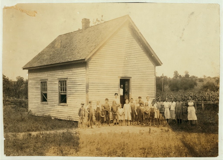
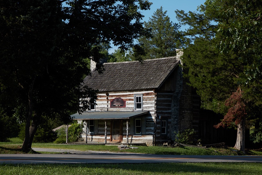
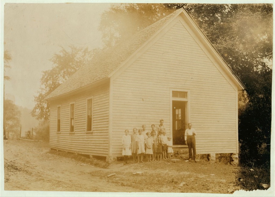
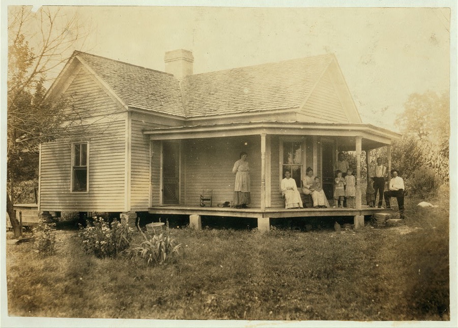

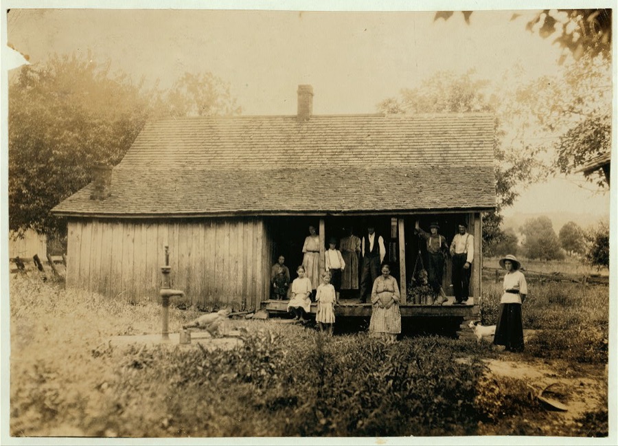
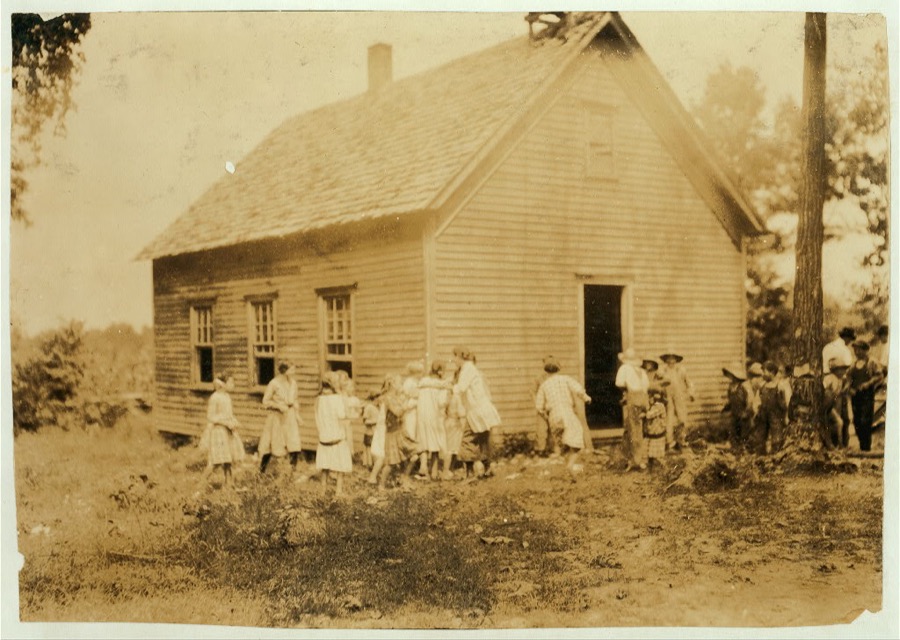

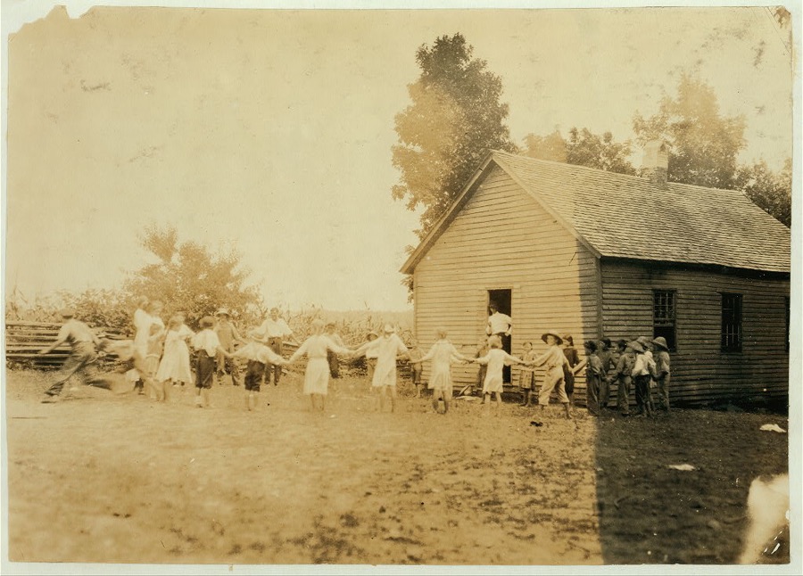


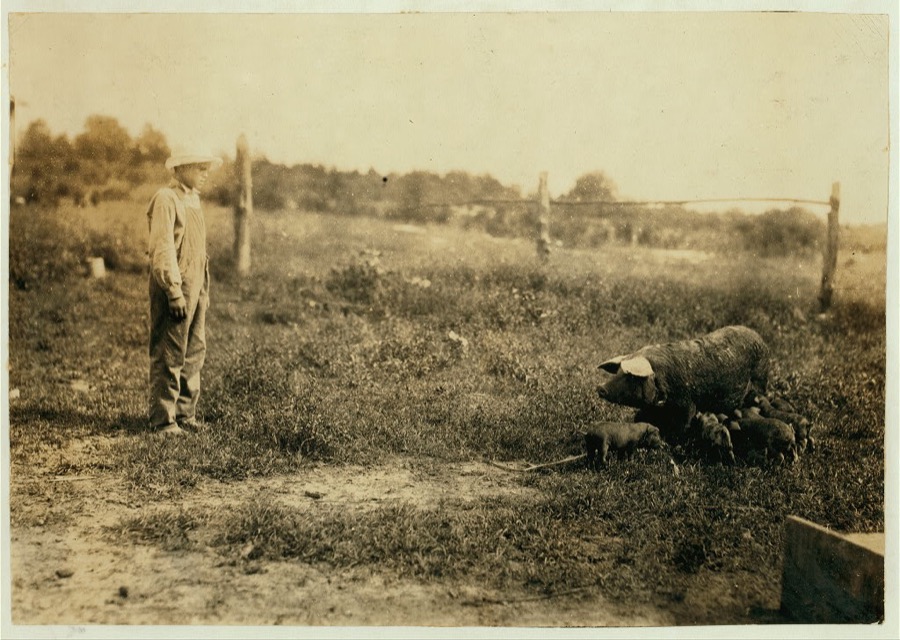





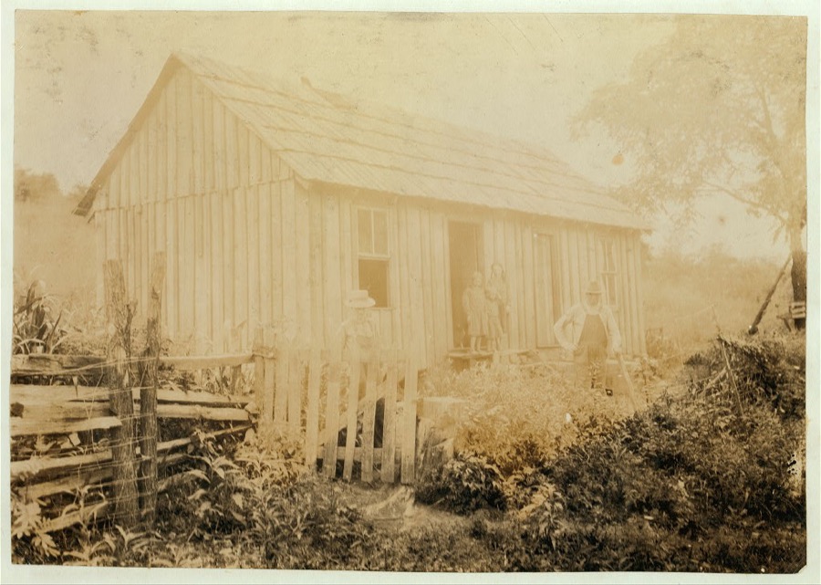

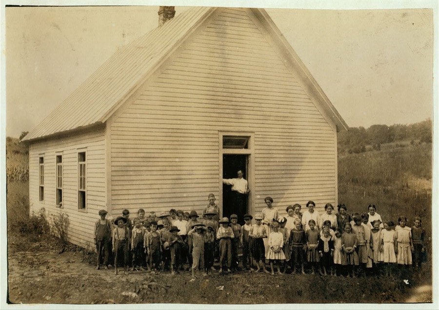
Every property in this county listed on the National Register of Historic Places, with the year it was listed and the federal nomination document.
| Photograph | Property | Type | Listed | Reference |
|---|---|---|---|---|
| Great Saltpetre Cave | district | 2013 | 13000565 | |
 | Bennett Hiatt Log House | building | 1984 | 84000394 |
 | John Lair House and Stables | building | 1995 | 95001270 |
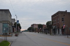 | Mount Vernon Commercial District | district | 1983 | 83003815 |
Sampled issues, machine-read from the Library of Congress scan and published page by page, so every headline and column is searchable text.
Mount Vernon, Ky., 1887 to 18??. Machine-read from the Library of Congress scan.
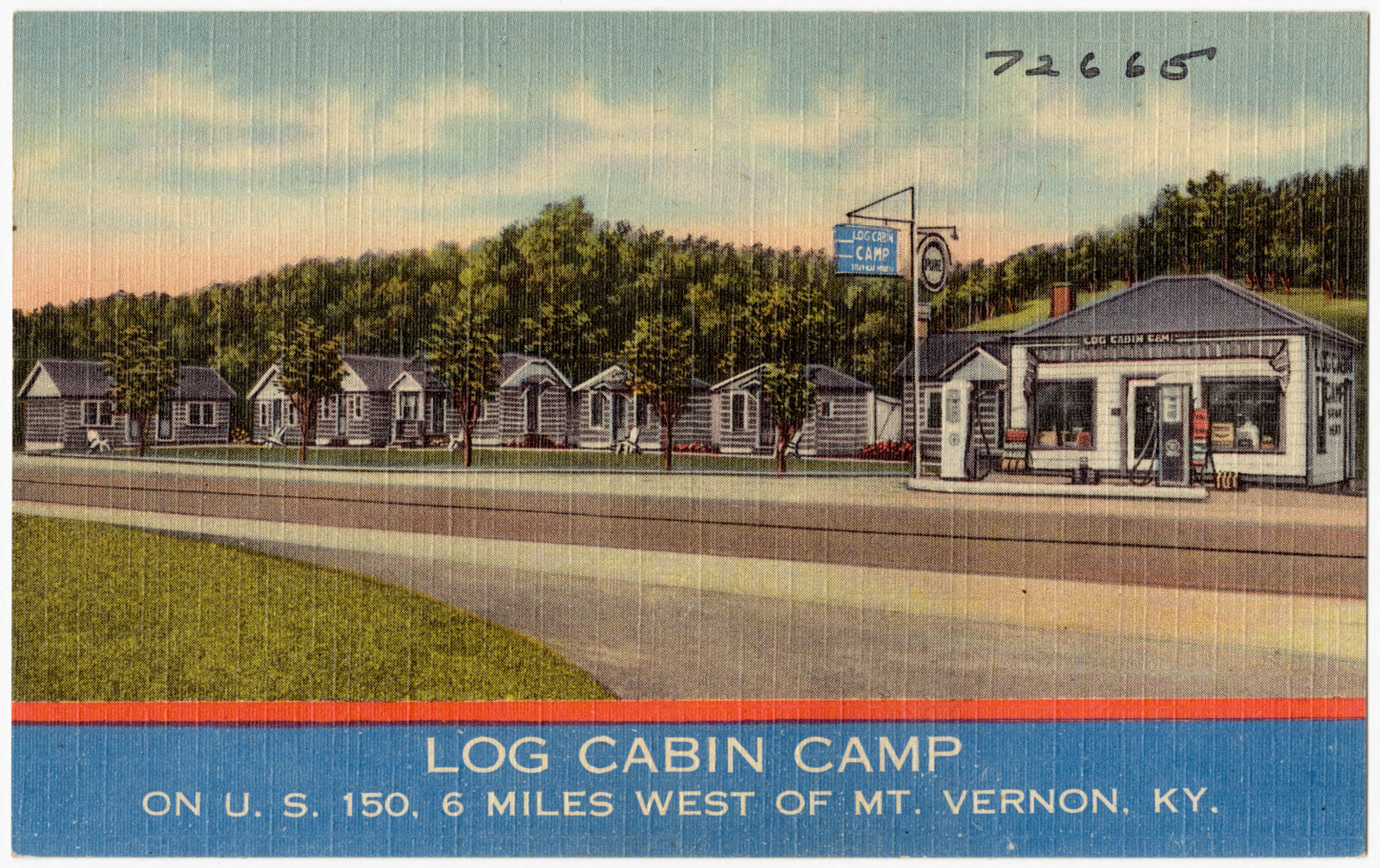
Selected from the Digital Public Library of America's 4 image records catalogued for this county. Every one shown here carries a public-domain status or a licence that permits reuse on a site that carries advertising; non-commercial, share-alike and restricted images are excluded. The selection is spread across the county's towns (at most eight per town), so no single institution's bulk upload crowds out the rest. Each opens the holding library's record, and the complete set at the Digital Public Library of America is one click away.
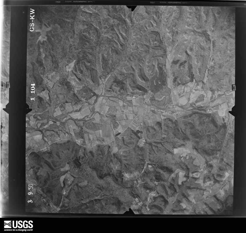
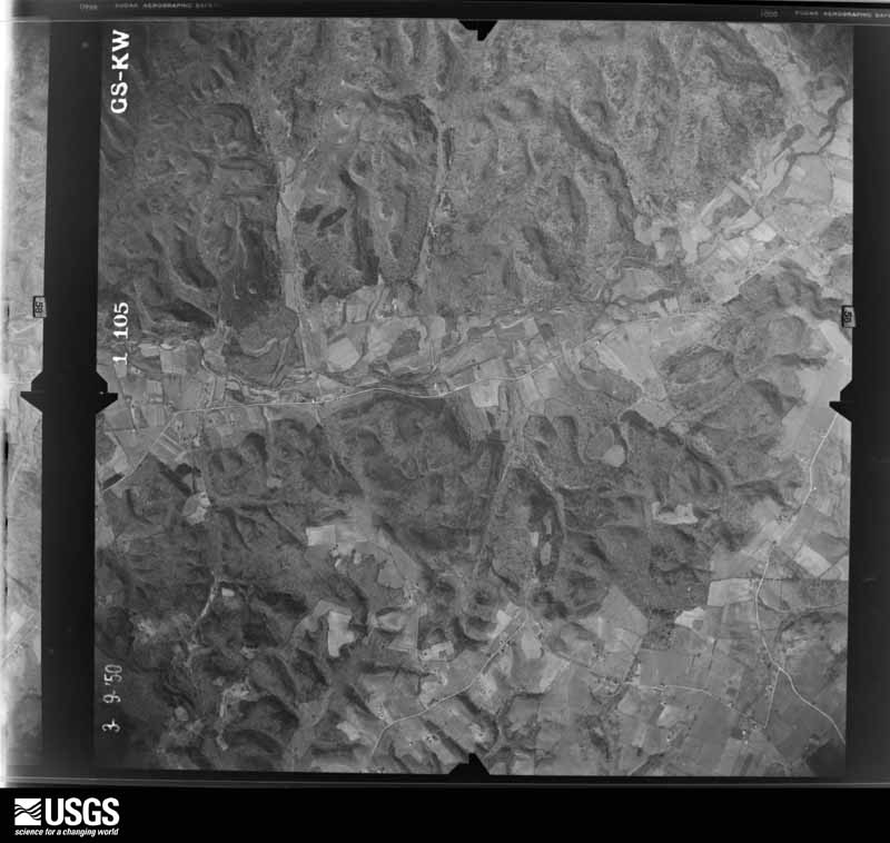
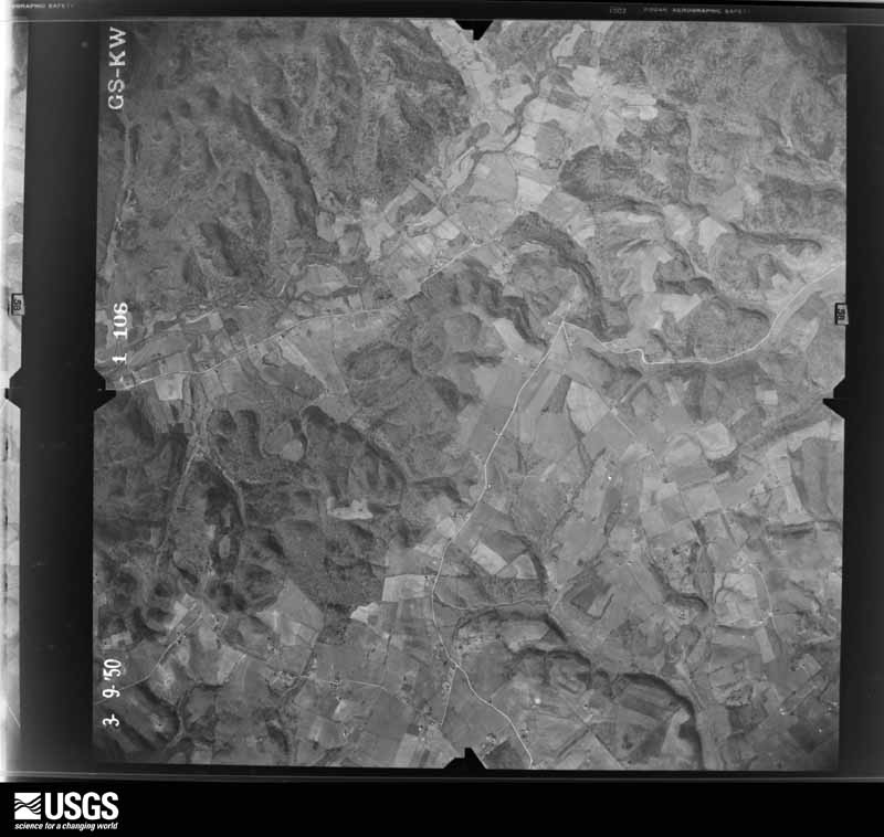
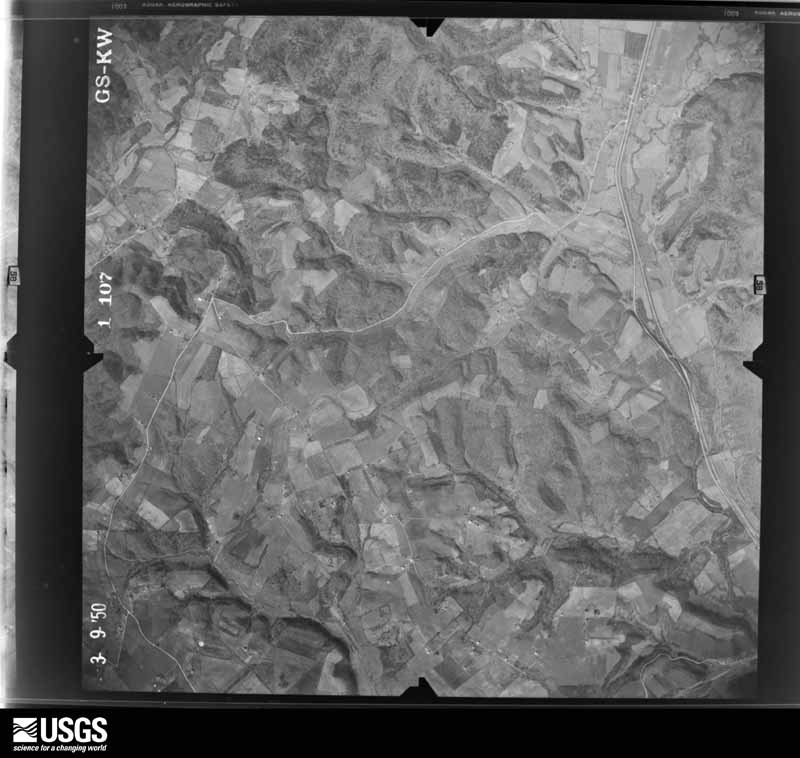
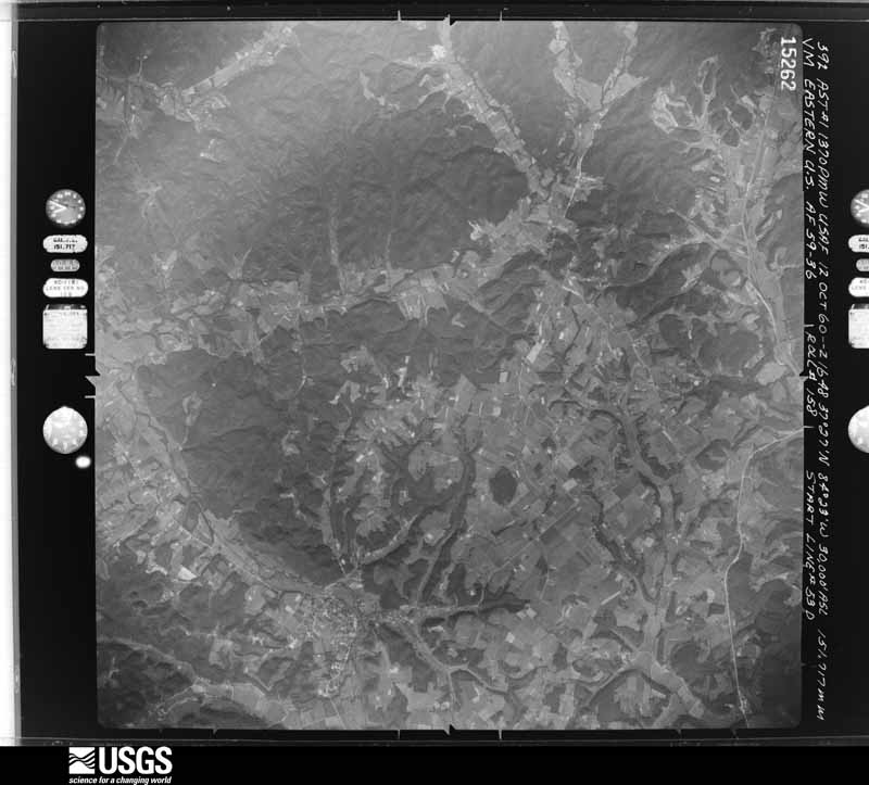
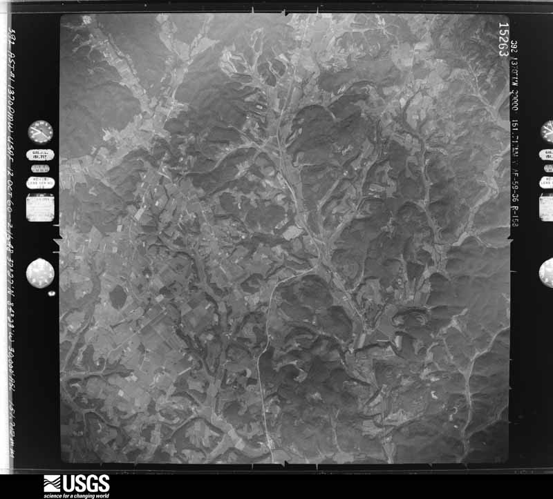
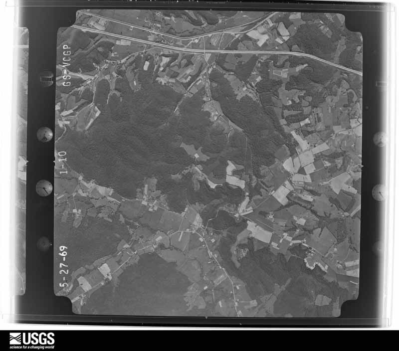
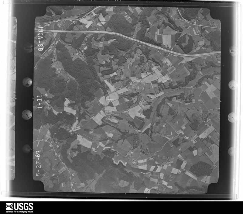
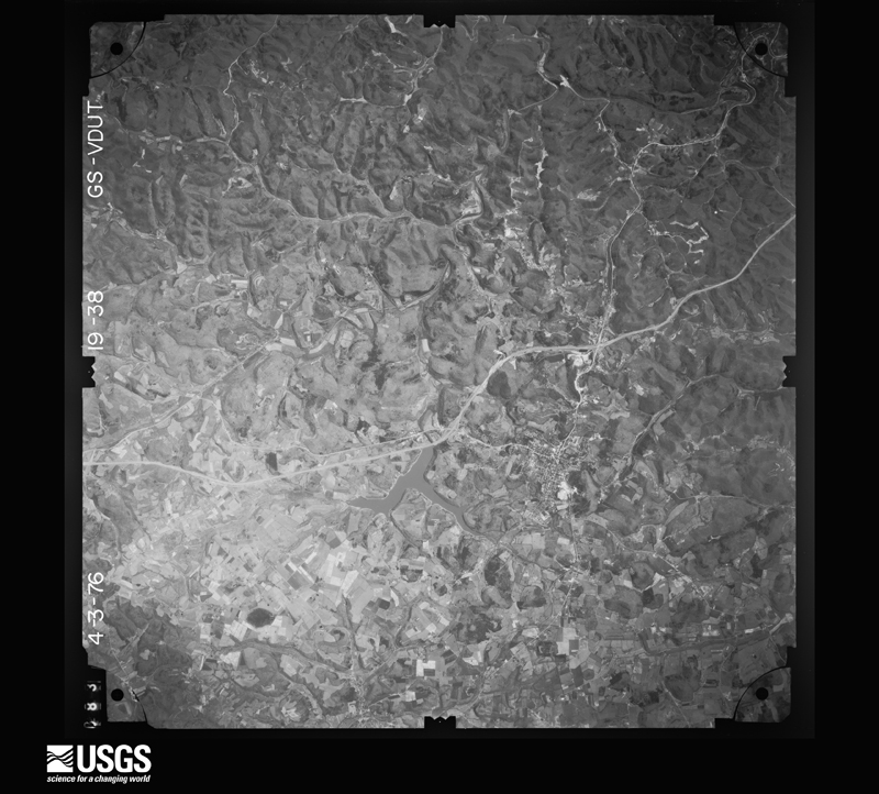
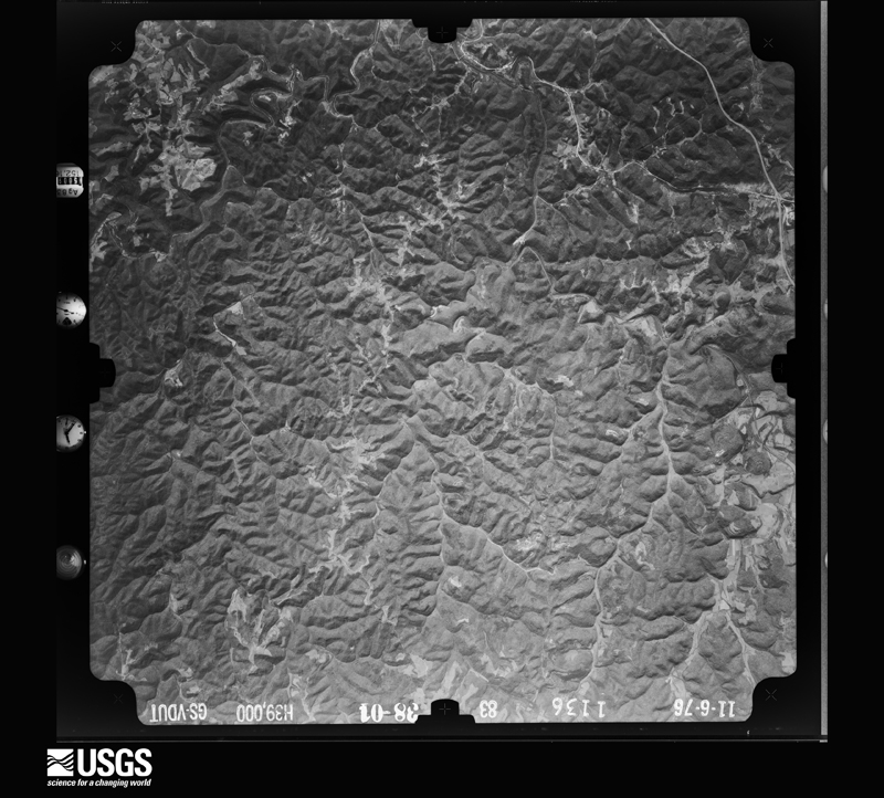
Flown by the U.S. Geological Survey between 1937 and 1989, the Aerial Photo Single Frames collection is the definitive mid-century view of the land: fields, roads and rivers as the camera saw them. The Survey holds 570 frames inside the rectangle that bounds this county; the 25 frames below were taken over the county itself, chosen across the decades of flights (at most four a year from that rectangle), so one flight cannot crowd out the rest. The full set is free to browse and download at EarthExplorer under the dataset Aerial Photo Single Frames.




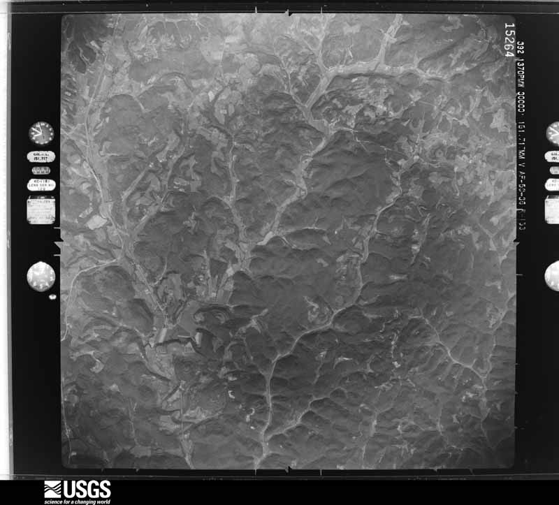
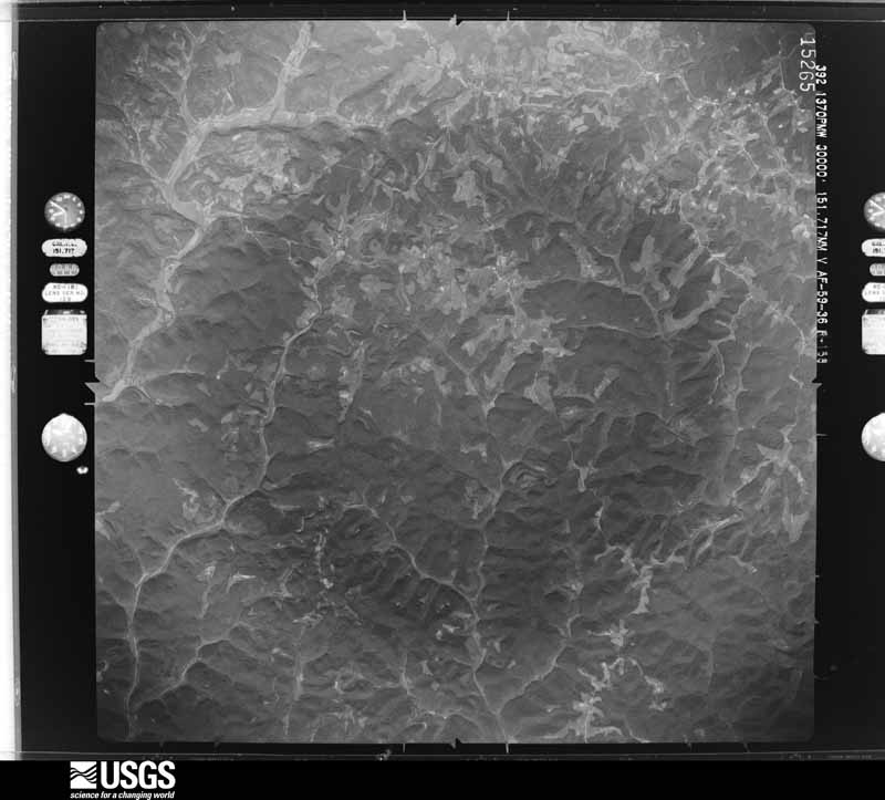
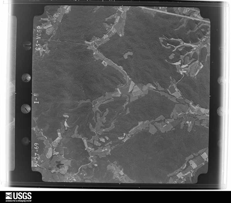
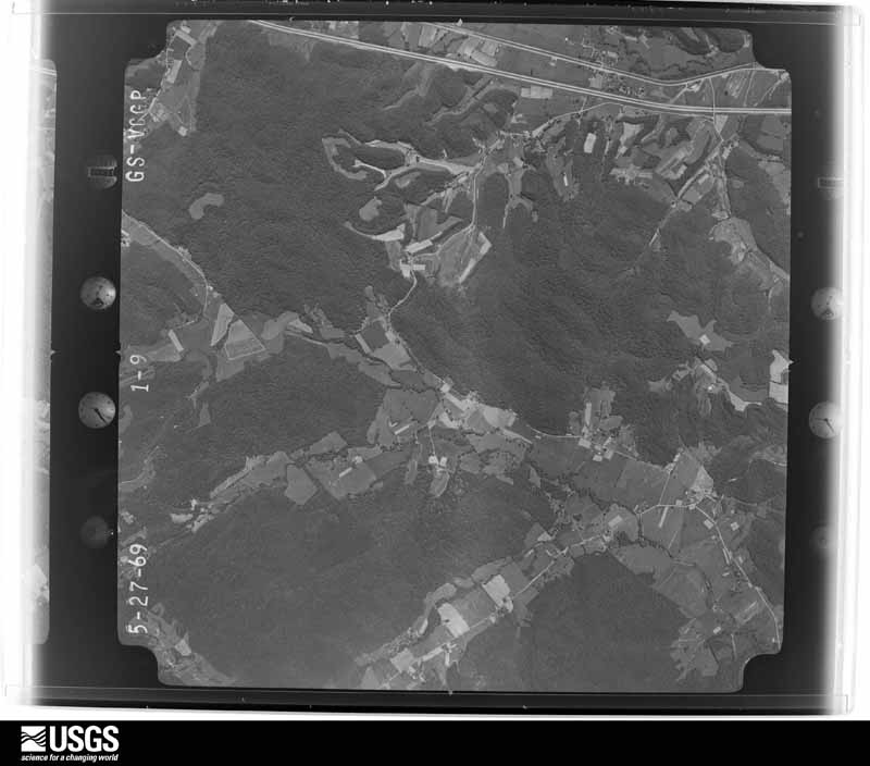







The thermometers that kept this county's weather, as the federal records hold them. The extremes below are measured values from those records, not estimates.
Who lived here in 1950, one enumeration district at a time, as the Census Bureau described each district. Each row opens its official National Archives result, with Population Schedules and ED Maps available there.
Every wildfire the federal occurrence database records inside this county: 656 of them, burning about 18,818 acres. 2 started naturally and 223 were recorded as arson. Each settlement page carries the fires within five miles of it.
| Reported cause | Fires |
|---|---|
| Debris and open burning | 246 |
| Arson/incendiarism | 223 |
| Missing data/not specified/undetermined | 131 |
| Recreation and ceremony | 40 |
| Railroad operations and maintenance | 6 |
| Equipment and vehicle use | 5 |
| Natural | 2 |
| Misuse of fire by a minor | 2 |
| Smoking | 1 |
The five largest, by the area the report gives. 6 of them were set deliberately.
| Date | Cause | Size | Reported by | Name on the report |
|---|---|---|---|---|
| 2 December 2017 | Arson/incendiarism | 896 acres | Daniel Boone National Forest | MIZE 2 |
| 13 April 2010 | Debris and open burning | 622 acres | Kentucky Division of Forestry | SAND HILL |
| 12 November 1999 | Arson/incendiarism | 404 acres | Daniel Boone National Forest | WOLF CREEK |
| 28 November 2017 | Arson/incendiarism | 403 acres | Kentucky Division of Forestry | MIZE BRANCH |
| 24 October 2001 | Arson/incendiarism | 400 acres | Kentucky Division of Forestry | not named |
| 22 March 2009 | Arson/incendiarism | 400 acres | Kentucky Division of Forestry | not named |
| 12 April 2018 | Arson/incendiarism | 338 acres | Daniel Boone National Forest | GREEN POND |
| 17 November 2016 | Debris and open burning | 322 acres | Kentucky Division of Forestry | COVE BRANCH FIRE |
Every settlement page carries the fires within five miles of it - see the settlement index below.
The NOAA Storm Events Database holds 333 reports for this county, causing 1 death, 11 injuries and about $8,904,610 in recorded property damage. Each settlement page carries the reports that name it.
| Kind of event | Reports |
|---|---|
| Thunderstorm Wind | 195 |
| Hail | 50 |
| Flash Flood | 41 |
| Flood | 30 |
| Tornado | 7 |
| Heavy Rain | 6 |
| Lightning | 2 |
| Debris Flow | 2 |
The most serious of them, by death, then injury, then recorded damage. The accounts are quoted exactly as the forecast office filed them.
| When | Event | Place named | Harm | What the report says |
|---|---|---|---|---|
| April 1974 | Tornado (F3) | not stated | 1 killed, 10 hurt, $2,500,000 | no account filed |
| July 1987 | Thunderstorm Wind | not stated | 1 hurt | no account filed |
| May 2002 | Hail | Countywide | $4,500,000 | The same severe thunderstorm that moved through Pulaski county, traveled southeast across much of Rockcastle county. A large swath of hail ranging in size from quarters to golfballs pounded much of the county, including the towns of Brodhead, Level Green, Spiro, and Ottawa. Over 400 homes in Rockcastle county were damaged along with over 900 automobiles. |
| January 2022 | Flash Flood | Brodhead | $500,000 | Emergency Management reported flash flooding in the community of Rockcastle. Ten streets are completely blocked with water; West Street, Chestnut Grove Rd., State Hwy 1505, West and South Main Street, Church Street, Silver Street, Albright Street, Owen Street, and Burton Lane. Eight businesses, 1 church, and an apartment complex are all inundated with water. |
| April 2020 | Thunderstorm Wind | Brodhead | $250,000 | Brodhead City and Rockcastle County Emergency Management conducted a survey on the morning of April 9th. In coordination with NWS staff, it was determined that microburst wind damage occurred in and just outside of Brodhead, given damage fanned out in all directions. Straight-line wind damage was also confirmed from a portion of the squall line of thunderstorms that moved through. A couple of 100+ year old oak trees were uprooted, while power poles were blown over. Structural damage was also sustained to nearly 30 homes and outbuildings/barns along with the roof of a local mall. |
| June 2011 | Lightning | Mt Vernon | $250,000 | Lightning struck the pumping equipment at the Mt. Vernon water plant early Saturday morning, causing a slow down of the water pumping capability around the county. Around 1 pm, the County Judge Executive declared a state of emergency around the county. The Health Dept decided around 630 pm to shut down all of the restaurants, car washes, and laundromats in the county due to concerns over the safety of the water and to conserve water. None of these businesses were reopened until Sunday morning. |
| April 1991 | Tornado (F1) | not stated | $250,000 | no account filed |
| June 2019 | Flash Flood | Brodhead | $125,000 | The Brodhead Emergency Manager reported numerous roads covered by flowing water throughout Brodhead, including Chestnut Grove Road, six other city streets, two county roads, and three state highways. One street had blacktop washed off of it. A swift water rescue was performed at a kennel on Kentucky Highway 1505 as water entered several residences, six businesses, one church, and city hall. A trailer park had water flowing up to about 10 trailers, while two storage buildings were washed off of their foundation. |
| June 2023 | Thunderstorm Wind | Mt Vernon | $60,000 | Several trees were blown down in and around Mt. Vernon, including two trees down on homes and another one down on a vehicle. |
| May 2025 | Lightning | Ottawa | $50,000 | Lightning was reported to have struck a residence located at the 490 block of Ottawa Church Road (KY-1650) in the community of Broadhead. |
| April 2009 | Thunderstorm Wind | Brodhead | $50,000 | A barn was blown down and onto Hwy 618. Another barn was blown down on Ridge Farm Road. A roof was blown off a house on Hwy 1505. Trees were down in all locations including Brodhead. |
| November 1993 | Thunderstorm Wind | not stated | $50,000 | Several trees and power lines were blown down in Broadhead. |
| June 2009 | Thunderstorm Wind | Mt Vernon | $35,000 | Trees were blown down across 5 or 6 main roads county wide. Power outages also occurred. |
| December 1977 | Tornado (F1) | not stated | $25,000 | no account filed |
| June 2007 | Thunderstorm Wind | Cooksburg | $20,000 | Numerous trees down near Route 1004. |
| June 2007 | Thunderstorm Wind | Mt Vernon | $20,000 | Numerous trees down near Route 1004. |
| April 1996 | Tornado (F1) | Ottawa | $20,000 | no account filed |
| February 2021 | Flash Flood | Maretburg | $15,000 | A water rescue is underway on Freedom School Road. A person is trapped in their car surrounded by flood waters. |
| August 2001 | Flash Flood | Brodhead | $15,000 | Widespread flash flooding occurred across the area due to heavy rains. Highway 150 was closed due to high water and a gas station had water covering the gas pumps. Highway 70, two miles west of Broadhead, was also closed. Two businesses and three homes received damage from flooding. Widespread power outages were also reported. |
| April 1998 | Tornado (F0) | Mt Vernon | $15,000 | The tornado downed trees and destroyed a three car garage. |
| June 2025 | Debris Flow | Conway | $10,500 | Runoff along a sloped hillside caused a tree to fall onto a vehicle and utility lines at the property below along Brindle Ridge Road, near the Conway community. |
| May 2025 | Thunderstorm Wind | Willailla | $10,000 | A tree was blow down onto a home in the 6300 block of Willailla Road in Brodhead, KY. |
| July 2013 | Thunderstorm Wind | Pongo | $10,000 | Multiple trees were blown down. One whole side of a barn was blown in. |
| August 2011 | Thunderstorm Wind | Boone | $10,000 | Several trees were blown down east of Boone, one of which landed on a vacant trailer. |
| January 1997 | Thunderstorm Wind | Quail | $10,000 | no account filed |
| July 2006 | Thunderstorm Wind | Brodhead | $8,000 | More than 50 trees blown down, barn roof torn off, trailer severely damaged. |
| July 2008 | Thunderstorm Wind | Livingston | $7,000 | A large sycamore and several smaller trees were blown down. |
| June 2021 | Thunderstorm Wind | Roundstone | $5,000 | The Hazard and Lexington broadcast media reported that powerful thunderstorm wind gusts caused a 100-foot antenna tower to fall onto a home along Grace Loop Road. Other than a dented roof, there was no apparent structural damage to the home. Multiple trees and branches were also blown down around the home. |
| July 2019 | Thunderstorm Wind | Willailla | $5,000 | A citizen observed damage on Straight Lane Road southwest of Brodhead. This includes a trampoline blown up into power lines, several trees downed, and a driver blown into a fence subsequently damaging their truck. |
| September 2013 | Flash Flood | Ottawa | $5,000 | Highway 1650 was covered by up to 3 feet of flowing water near the Ottowa Baptist Church. The road was covered for approximately 30 minutes. Several driveways were also washed out in the area. |
| May 2010 | Thunderstorm Wind | Mt Vernon | $5,000 | Several 6-8 inch diameter tree tops were blown down a trained spotters house along with his neighbor. |
| April 2009 | Thunderstorm Wind | Mt Vernon | $5,000 | Several trees were blown down in Mount Vernon. |
| May 1998 | Thunderstorm Wind | Brodhead | $5,000 | Trees and power lines were downed, and several buildings were damaged. |
| April 1998 | Flash Flood | Countywide | $5,000 | no account filed |
| May 2024 | Thunderstorm Wind | Renfro Vly | $3,000 | Scattered reports of trees down and power outages throughout the county. |
| April 2011 | Thunderstorm Wind | Brodhead | $3,000 | A fallen tree was blocking the road and power lines were knocked down on Peach Tree lane near Brodhead. |
| September 2006 | Thunderstorm Wind | Mt Vernon | $3,000 | Outside shed blown into cars. Debris thrown over area about 300 yards long. Took out swing sets and did minor damage to a porch. |
| June 1998 | Thunderstorm Wind | Brodhead | $3,000 | Trees and power lines downed. |
| June 1997 | Flash Flood | Brodhead | $3,000 | A person was temporarily trapped in a van after it was washed off a road. |
| January 1998 | Flash Flood | Brodhead | $3,000 | no account filed |
| August 2024 | Flash Flood | Brodhead | $2,000 | South Main Street in Broadhead was down to one lane due to flood waters near 596 South Main Street, in the vicinity of the Broadhead Fairgrounds and Rockcastle City Park. |
| August 2022 | Flash Flood | Johnetta | $2,000 | Flash flood waters peeled up pavement on Climax Rd between 4 and 5 miles outside of Mount Vernon. |
| April 2011 | Thunderstorm Wind | Conway | $2,000 | There was a tree down blocking the road on Scaffold Cane Branch road. |
| January 2008 | Thunderstorm Wind | Livingston | $2,000 | Trees blown down on Highway 490 east of Livingston and on Calloway Branch Road by wind gusts estimated at 60 mph. |
| July 2006 | Thunderstorm Wind | Brodhead | $2,000 | Trees and power lines down. |
| May 2023 | Thunderstorm Wind | Brodhead | $1,500 | County dispatch reported tree blown down on a vehicle in the 100 block of Profitt Street. |
| May 2023 | Thunderstorm Wind | Renfro Vly | $1,000 | County dispatch reported tree blown down onto a powerline off of KOA Campground Rd. |
| August 2022 | Debris Flow | Quail | $1,000 | Mudslide was reported in the 4900 block along KY-70. |
| March 2015 | Flood | Orlando | $1,000 | Cove Creek had left its banks and caused the nearby road to flood. |
| March 2015 | Flood | Lamero | $1,000 | Highway 89 was closed due to flooding. |
| July 2015 | Flash Flood | Withers | $1,000 | A section of Mullins Station Road was washed out in Withers. |
| July 2015 | Flash Flood | Conway | $1,000 | Parts of U.S. Hwy 25 in Conway were impassable due to flooding. |
| April 2015 | Flood | Luner | $1,000 | The entire length of KY 1329 was impassable due to flooding. |
| April 2015 | Flood | Lamero | $1,000 | Kentucky Hwy 89 was blocked due to flooding near the Laurel county line. |
| April 2015 | Flood | Brodhead | $1,000 | The city park in Brodhead was flooded. Water was also covering Burton Lane and Owens Street. |
| August 2015 | Flood | Brodhead | $1,000 | Around a foot of standing water was observed on roadways in poor drainage areas near Brodhead. |
| July 2014 | Flash Flood | Cedarville | $1,000 | Two to 3 feet of water was running across Pongo-Billows Rd and Hwy 1956. |
| August 2013 | Flood | Brodhead | $1,000 | Three inches of water was covering South Main St. in Brodhead. |
| August 2013 | Flash Flood | Brodhead | $1,000 | Water was flowing across Hwy 2250. |
| December 2013 | Flood | Maretburg | $1,000 | An inch or two of water was running across Old Brodhead Road near the bank. |
The Survey's mineral resources record lists 3 workings inside this county. 1 still produces and 2 are closed or unrecorded. Each settlement page carries the workings within five miles of it.
| Commodity | Workings |
|---|---|
| Stone, Crushed/Broken | 2 |
| Clay | 1 |
The least common of them first, because a county's hundredth gravel pit says nothing its first ten did not.
| Where | Site | Commodity | Status | Recorded |
|---|---|---|---|---|
| Rockcastle-Garrard Shale Exposure | Clay | Prospect | ||
| Mount Vernon Mine | Stone, Crushed/Broken | Producer | ||
| Mullins Mine | Stone, Crushed/Broken | Past Producer |
Named settlements recorded in the Geographic Names Information System, each with the topographic sheets covering it. Villages, hamlets and abandoned places alike. Each is shown with the nearest named watercourse or landform and the survey quadrangle it falls on.
Mount Vernon census division · 40456 · On Nicely Branch · Billows quadrangle
14 sheets, 1893 to 1982
Mount Vernon census division · 40409 · On Boone Fork · Brodhead quadrangle
12 sheets, 1893 to 1982
Livingston census division · 40456 · On Loman Branch · Johnetta quadrangle
15 sheets, 1893 to 1982
Conway census division · 40403 · On Clay Lick Branch · Wildie quadrangle
13 sheets, 1893 to 1982
Livingston census division · 40445 · Near Barnett Valley · Johnetta quadrangle
15 sheets, 1893 to 1982
Conway census division · 40456 · On Davis Branch · Wildie quadrangle
13 sheets, 1893 to 1982
Livingston census division · 40460 · On Cove Branch · Mount Vernon quadrangle
16 sheets, 1893 to 1993
Mount Vernon census division · 40419 · On Slaty Branch · Brodhead quadrangle
12 sheets, 1893 to 1982
Mount Vernon census division · 40456 · On Dry Fork · Mount Vernon quadrangle
16 sheets, 1893 to 1993
Livingston census division · 40460 · On Dry Fork · Johnetta quadrangle
15 sheets, 1893 to 1982
Mount Vernon census division · 40456 · Near Friendship Knob · Maretburg quadrangle
15 sheets, 1893 to 1993
Livingston census division · 40445 · On Gauley Branch · Livingston quadrangle
15 sheets, 1893 to 1982
Mount Vernon census division · 40445 · On Little Trace Branch · Billows quadrangle
14 sheets, 1893 to 1982
Mount Vernon census division · 40456 · Near McCall Knob · Maretburg quadrangle
15 sheets, 1893 to 1993
Livingston census division · 40460 · On Crooked Creek · Livingston quadrangle
15 sheets, 1893 to 1982
Livingston census division · 40460 · On Brush Creek · Mount Vernon quadrangle
16 sheets, 1893 to 1993
Mount Vernon census division · 40409 · Near Purcell Knob · Maretburg quadrangle
15 sheets, 1893 to 1993
Livingston census division · 40456 · Near Lime Plant Hollow · Mount Vernon quadrangle
16 sheets, 1893 to 1993
Mount Vernon census division · 40456 · On Sinking Branch · Billows quadrangle
14 sheets, 1893 to 1982
Mount Vernon census division · 40456 · On Dorman Creek · Maretburg quadrangle
15 sheets, 1893 to 1993
Conway census division · 40456 · On Little Renfro Creek · Wildie quadrangle
13 sheets, 1893 to 1982
Mount Vernon census division · 40456 · Near Marlow Hollow · Mount Vernon quadrangle
16 sheets, 1893 to 1993
Livingston census division · 40456 · Near Boone Hollow · Livingston quadrangle
15 sheets, 1893 to 1982
Mount Vernon census division · 40456 · Near Sand Knob · Maretburg quadrangle
15 sheets, 1893 to 1993
Mount Vernon census division · 40456 · On Jones Creek · Maretburg quadrangle
15 sheets, 1893 to 1993
Mount Vernon census division · 40409 · On Dorman Creek · Maretburg quadrangle
15 sheets, 1893 to 1993
Mount Vernon census division · 40419 · On Slaty Branch · Brodhead quadrangle
12 sheets, 1893 to 1982
No longer a settlement
The vanished settlements of Rockcastle County: the places named above that are no longer on the map.