 Block
From the record
7 National Register listings published here.
Sources: the National Register database, National Park Service
52 topographic sheets and 2 fire insurance atlases across 1 place.
7 National Register listings published here.
Sources: the National Register database, National Park Service
Every property in this county listed on the National Register of Historic Places, with the year it was listed and the federal nomination document.
| Photograph | Property | Type | Listed | Reference |
|---|---|---|---|---|
| Adkins-Hurt Mill | building | 1977 | 77000662 | |
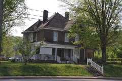 | Fairchild House | building | 2008 | 08000215 |
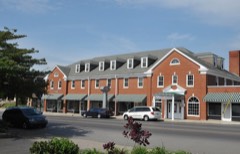 | Hotel Breeding | building | 1988 | 88001315 |
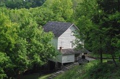 | Mill Springs Mill | building | 1973 | 73000858 |
| Monticello Historic Commercial District | district | 1982 | 82001577 | |
 | Wayne County High School | building | 2013 | 13000567 |
| West-Metcalfe House | building | 1977 | 77000661 |
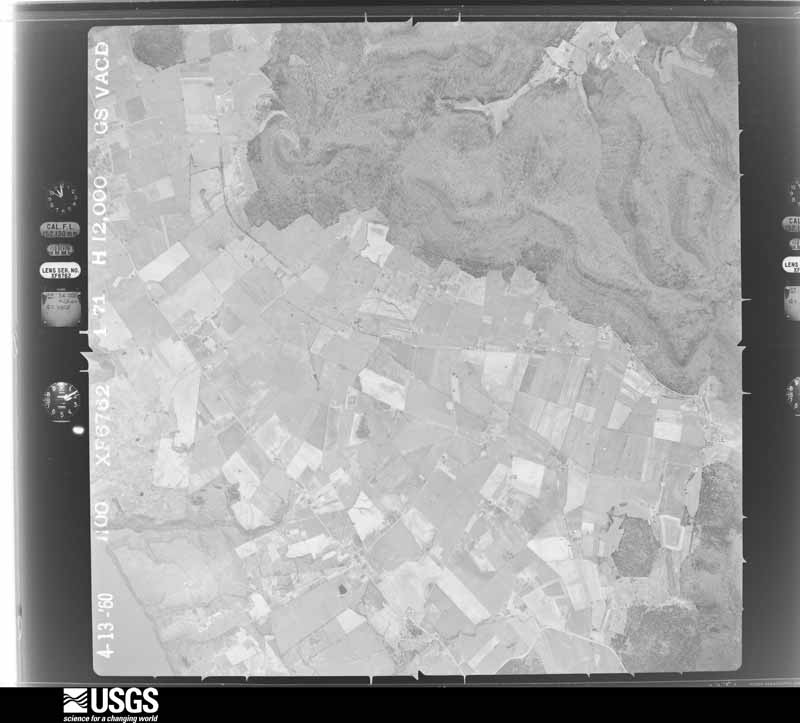
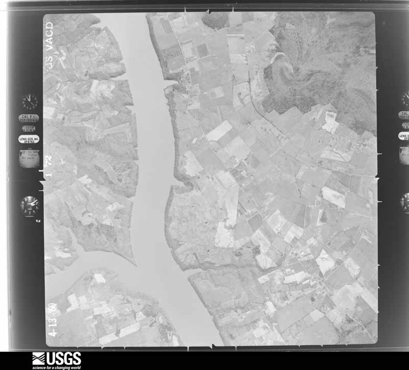
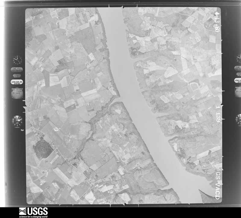
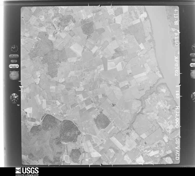
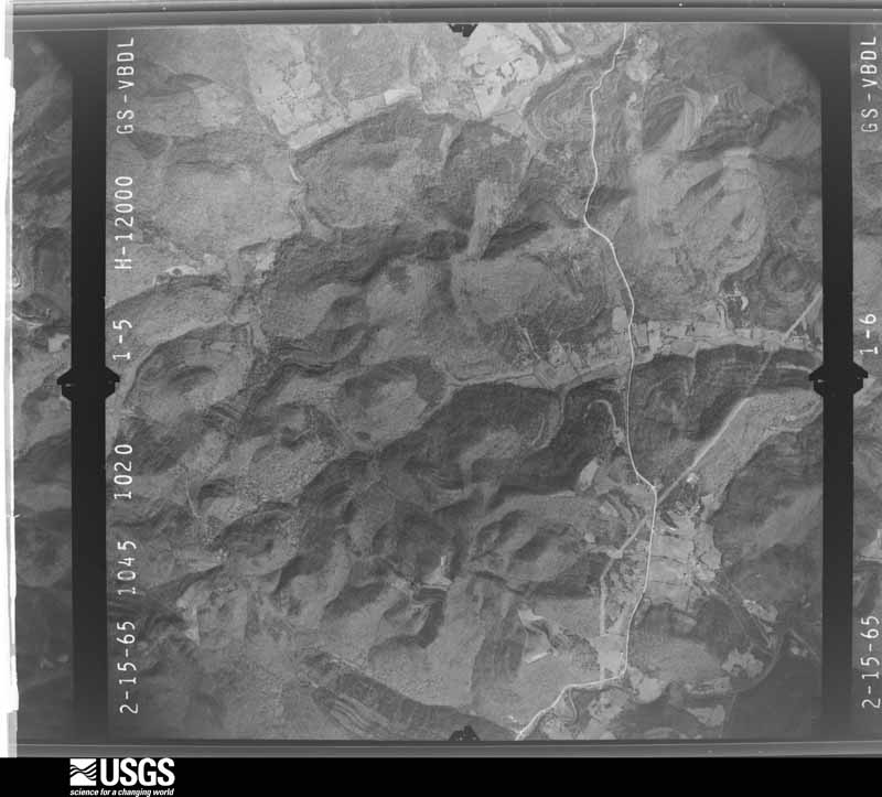
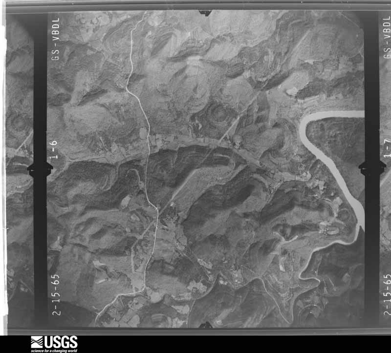
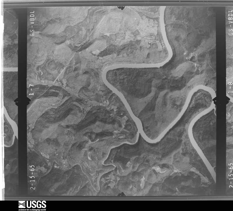
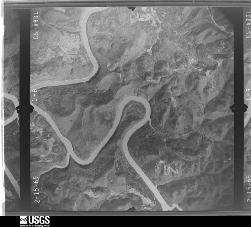
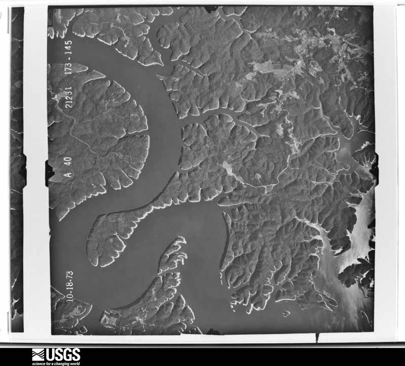
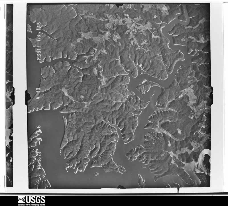
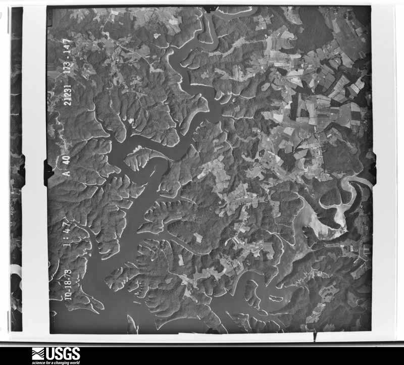
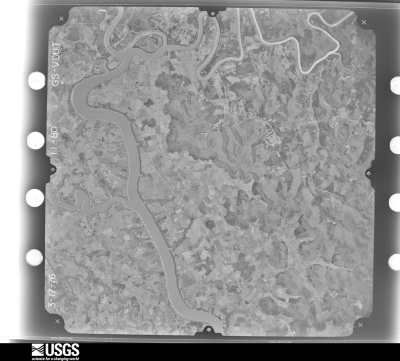
Flown by the U.S. Geological Survey between 1937 and 1989, the Aerial Photo Single Frames collection is the definitive mid-century view of the land: fields, roads and rivers as the camera saw them. The Survey holds 549 frames inside the rectangle that bounds this county; the 24 frames below were taken over the county itself, chosen across the decades of flights (at most four a year from that rectangle), so one flight cannot crowd out the rest. The full set is free to browse and download at EarthExplorer under the dataset Aerial Photo Single Frames.












The thermometers that kept this county's weather, and the gages that measured the flow of its streams, as the federal records hold them. The extremes below are measured values from those records, not estimates.
Who lived here in 1950, one enumeration district at a time, as the Census Bureau described each district. Each row opens its official National Archives result, with Population Schedules and ED Maps available there.
Every wildfire the federal occurrence database records inside this county: 313 of them, burning about 12,922 acres. 3 started naturally and 71 were recorded as arson. Each settlement page carries the fires within five miles of it.
| Reported cause | Fires |
|---|---|
| Debris and open burning | 125 |
| Missing data/not specified/undetermined | 81 |
| Arson/incendiarism | 71 |
| Recreation and ceremony | 23 |
| Equipment and vehicle use | 5 |
| Natural | 3 |
| Smoking | 2 |
| Misuse of fire by a minor | 2 |
| Railroad operations and maintenance | 1 |
The five largest, by the area the report gives. Four of them were set deliberately.
| Date | Cause | Size | Reported by | Name on the report |
|---|---|---|---|---|
| 5 November 2007 | Debris and open burning | 940 acres | Kentucky Division of Forestry | SAND POINT II |
| 6 November 2008 | Debris and open burning | 725 acres | Kentucky Division of Forestry | TURKEY ROCK |
| 8 February 2001 | Debris and open burning | 575 acres | Kentucky Division of Forestry | not named |
| 31 October 2000 | Arson/incendiarism | 520 acres | Kentucky Division of Forestry | not named |
| 17 November 2001 | Arson/incendiarism | 500 acres | Kentucky Division of Forestry | not named |
| 29 October 2000 | Arson/incendiarism | 375 acres | Kentucky Division of Forestry | not named |
| 17 April 2001 | Arson/incendiarism | 350 acres | Kentucky Division of Forestry | not named |
| 23 October 2008 | Debris and open burning | 326 acres | Kentucky Division of Forestry | MILLSAP |
Every settlement page carries the fires within five miles of it - see the settlement index below.
The NOAA Storm Events Database holds 312 reports for this county, causing 4 deaths, 62 injuries and about $29,573,350 in recorded property damage. Each settlement page carries the reports that name it.
| Kind of event | Reports |
|---|---|
| Thunderstorm Wind | 212 |
| Hail | 55 |
| Flash Flood | 22 |
| Tornado | 9 |
| Flood | 6 |
| Heavy Rain | 4 |
| Funnel Cloud | 3 |
| Lightning | 1 |
The most serious of them, by death, then injury, then recorded damage. The accounts are quoted exactly as the forecast office filed them.
| When | Event | Place named | Harm | What the report says |
|---|---|---|---|---|
| April 1974 | Tornado (F3) | not stated | 2 killed, 40 hurt, $2,500,000 | no account filed |
| April 1974 | Tornado (F4) | not stated | 2 killed, 17 hurt | no account filed |
| November 1989 | Thunderstorm Wind | not stated | 2 hurt | no account filed |
| April 2008 | Tornado (EF2) | Wait | 1 hurt, $1,000,000 | An EF2 tornado with maximum winds near 130 mph entered Wayne County from Clinton County along Pleasant Ridge Road. The tornado maintained a continuous 7 mile track east northeast before lifting 1.5 miles southwest of Monticello near Furnace Mountain. |
| April 2002 | Hail | Monticello | 1 hurt, $500 | Windows were busted from large hail. |
| June 1987 | Thunderstorm Wind | not stated | 1 hurt | no account filed |
| April 1974 | Tornado (F3) | not stated | $25,000,000 | no account filed |
| June 2019 | Lightning | Monticello Wayne Arp | $75,000 | Dispatch relayed a report of a lightning strike causing a tree to fall on a house and powerline in Monticello. |
| May 2025 | Thunderstorm Wind | Monticello | $55,000 | A tree was blown down onto a mobile home, also causing electrical lines to fall on the home, in the 500 block of South Main Street in Monticello. |
| May 2025 | Hail | Spann | $50,000 | Multiple pictures on social media showed baseball sized hail in Monticello. One such photo and stone was near the intersection of State Highway 3285 and State Highway 776. |
| May 2010 | Tornado (EF2) | Betsey | $50,000 | An EF2 tornado touched down 1 mile south of Betsey in the Meadow Creek area. The tornado had a path length of 1/4 of a mile and a path width of 100 yards. The estimated wind speeds associated with the tornado were 110 to 120 mph. The tornado downed numerous trees. The twister also blew part of the roof off of a brick home, causing the corner of an outside wall to collapse. |
| January 2008 | Thunderstorm Wind | Monticello | $50,000 | Trees were blown down across roads throughout the county by winds estimated at 63 mph. |
| February 2021 | Tornado (EF1) | Cabell | $40,000 | The tornado narrowed as it crossed from Clinton County (Louisville, KY County Warning Area) into Wayne County, with some straight line wind damage noted. The winds|generally were from the west to southwest surrounding the tornado.|The straight line winds of 65 to 75 mph damaged 2 barns. |
| July 2008 | Thunderstorm Wind | Sunnybrook | $35,000 | Numerous trees and large limbs were blown down in the southern portion of the county. |
| April 2007 | Thunderstorm Wind | Monticello | $35,000 | Numerous trees down county wide. |
| June 2009 | Thunderstorm Wind | Monticello | $30,000 | Trees and power lines down in Monticello and throughout the county. |
| July 2008 | Thunderstorm Wind | Monticello | $30,000 | Numerous trees and large limbs were blown down, especially near Lake Cumberland. |
| July 2008 | Thunderstorm Wind | Gregory | $30,000 | Numerous large trees and limbs were blown down in the eastern portion of the county. |
| June 2019 | Thunderstorm Wind | Monticello Wayne Arp | $25,000 | The county Emergency Manager and public reported numerous trees down in and north of Monticello along Kentucky Highway 90. These downed trees resulted in powerlines being knocked down, leading to over 4,000 power outages across the county. A few tin roofs were also blown off of buildings, further complicating road accessibility for cleanup crews. A State of Emergency was declared in order to speed up cleanup efforts. |
| August 2016 | Thunderstorm Wind | Monticello Wayne Arp | $25,000 | Emergency Management reported wind damage to the roof of the local Walmart. A nearby power pole was also snapped, resulting in 3,000 customers losing power for a brief period. |
| May 2011 | Thunderstorm Wind | Wait | $25,000 | Trees, power lines, and limbs were blown down in Zula. |
| February 2011 | Thunderstorm Wind | Monticello Wayne Arp | $25,000 | A screen door was torn from a home along Hwy 92E in Monticello. A number of power outages were also reported in and around Monticello. Multiple trees had been blown down on Hwys 90E and 92E as well. |
| April 2007 | Thunderstorm Wind | Monticello | $25,000 | Numerous trees down countywide. |
| May 2025 | Hail | Monticello | $20,000 | Pictures on social media show structural damage along Cherry Street in Monticello from the large hail that fell. Multiple broken windsow and tattered vinyl siding is visible, alongside piles of large, melting hail stones. |
| May 2024 | Thunderstorm Wind | Monticello Wayne Arp | $20,000 | A tree was reported downed onto a car in Monticello. Multiple other reports of trees downed across Monticello were also made on X. |
| April 2011 | Thunderstorm Wind | Monticello Wayne Arp | $20,000 | There were trees down countywide. Multiple roads were blocked due to storm damage. Some of the roads that were blocked include Kentucky 1275, 833, 92, 2393, 167, 776, 200. |
| May 2003 | Thunderstorm Wind | Mt Pisgah | $20,000 | A line of severe thunderstorms produced straight-line wind which produced a 2 mile long path of damaged or destroyed trees running along Kentucky Highway 167 near Millsap Hill and Big Pilot Knob. The damage consisted of numerous large trees, including fruit trees, and were uprooted and snapped in a divergent pattern. Two homes and one car were damaged by falling trees. |
| March 1997 | Flash Flood | Monticello | $20,000 | no account filed |
| August 2024 | Thunderstorm Wind | Frazer | $15,000 | Wayne county dispatch reported that a vehicle hit a tree blown down into the road near the intersection of KY-1568 and Bradley Road, in the community of Frazer. |
| June 2021 | Thunderstorm Wind | Monticello Wayne Arp | $15,000 | The Wayne County dispatch reported that powerful thunderstorm winds had blown the roof off of a house along Elm Street in Monticello. |
| February 2012 | Thunderstorm Wind | Sunnybrook | $15,000 | Multiple trees were blown down in Sunnybrook. |
| May 2011 | Thunderstorm Wind | Monticello | $15,000 | Trees and limbs were blown down in Monticello. |
| October 2009 | Thunderstorm Wind | Steubenville | $15,000 | Trees and power lines were blown down in Steubenville and Conley Bottom. |
| July 2004 | Thunderstorm Wind | Monticello | $15,000 | A barn was blown onto Route 200 in Monticello. Trees were down across the county. |
| April 1998 | Tornado (F2) | Mt Pisgah | $15,000 | no account filed |
| May 2024 | Thunderstorm Wind | Cedarcrest | $10,000 | Numerous 911 calls reporting a roof collapse at the Conley Bottom Resort main pier on Lake Cumberland, leaving people trapped on their boats. |
| April 2012 | Thunderstorm Wind | Monticello Wayne Arp | $10,000 | Trees and power lines were blown down countywide. The time was estimated off of radar. |
| May 2011 | Thunderstorm Wind | Delta | $10,000 | Trees and power lines were down and blocking Brammer Hill Rd in the Delta community. |
| May 2011 | Thunderstorm Wind | Frisby | $10,000 | A barn was blown into KY 200 near Hwy 167 southwest of Monticello. |
| July 2004 | Thunderstorm Wind | Monticello | $10,000 | Trees and power lines were down in the Monticello area and also northern Wayne County. |
| March 2002 | Flash Flood | Monticello | $10,000 | Heavy rains during March 17th caused repeated episodes of flash flooding. Several roads were flooded. |
| July 2000 | Thunderstorm Wind | Steubenville | $10,000 | Strong winds damaged roof of Methodist Church in Steubenville on KY 3106. |
| January 1999 | Thunderstorm Wind | Parnell | $10,000 | Trailer blown over. |
| May 1997 | Thunderstorm Wind | Mill Spgs | $10,000 | Part of the roof was blown off of a bi-level house. A large tree and a couple of smaller ones were also blown down. |
| January 1997 | Thunderstorm Wind | Monticello | $10,000 | no account filed |
| May 2011 | Thunderstorm Wind | Monticello | $8,000 | Trees were blown down onto a trailer home on Evelyn Ave in Monticello. |
| August 2010 | Thunderstorm Wind | Monticello | $7,000 | Several trees were blown down in and near Monticello, blocking roads. |
| June 2021 | Thunderstorm Wind | Monticello | $6,500 | Wayne County dispatch reported that very strong thunderstorm wind gusts had caused a tree to fall onto a mobile home and vehicle along Tennessee Street just southeast of Monticello. |
| June 2020 | Thunderstorm Wind | Stop | $5,000 | A citizen reported a carport toppled into electrical lines just southeast of Cabell. |
| July 2017 | Thunderstorm Wind | Monticello | $5,000 | A citizen reported a couple of large tree limbs being snapped, and subsequently falling onto a nearby storage building, causing it to collapse. |
| March 2013 | Thunderstorm Wind | Monticello Wayne Arp | $5,000 | Two roofs were taken off storage buildings and a post was pulled out of cement. |
| April 2012 | Thunderstorm Wind | Murl | $5,000 | There were several trees blown down along highway 1546 near the Murl community. |
| February 2012 | Thunderstorm Wind | Mt Pisgah | $5,000 | Trees were blown down and across Hwy 167 just north of Mount Pisgah. |
| September 2010 | Thunderstorm Wind | Monticello | $5,000 | Multiple trees were blown down outside the Wayne County Hospital. |
| June 2009 | Thunderstorm Wind | Monticello | $5,000 | Trees were blown down in the city of Monticello at the intersection of College and Alexander Streets. |
| June 2006 | Thunderstorm Wind | Monticello | $5,000 | Numerous trees down over south portion of the county. Power out in Monticello for a couple of hours. |
| August 2005 | Thunderstorm Wind | Monticello | $5,000 | Trees down across an area around 200 yards wide along Highway 92 East near Monticello. One tree fell on a house and a roof was blown off a garage. |
| July 2004 | Thunderstorm Wind | Parnell | $5,000 | Power lines were down. |
| April 1998 | Thunderstorm Wind | Windy | $5,000 | no account filed |
| April 1998 | Flash Flood | Countywide | $5,000 | no account filed |
The Survey's mineral resources record lists 3 workings inside this county. 1 still produces and 2 are closed or unrecorded. Each settlement page carries the workings within five miles of it.
| Commodity | Workings |
|---|---|
| Clay | 1 |
| Stone, Crushed/Broken | 1 |
| Sand and Gravel, Construction | 1 |
The least common of them first, because a county's hundredth gravel pit says nothing its first ten did not.
| Where | Site | Commodity | Status | Recorded |
|---|---|---|---|---|
| Bald Rock Mine | Sand and Gravel, Construction | Past Producer | ||
| Coffey Mountain Shale | Clay | Prospect | ||
| Monticello Quarry | Stone, Crushed/Broken | Producer |
Named settlements recorded in the Geographic Names Information System, each with the topographic sheets covering it. Villages, hamlets and abandoned places alike. Each is shown with the nearest named watercourse or landform and the survey quadrangle it falls on. The 1 place that was also surveyed for fire insurance comes first, with the number of atlases and photographs held for them.
Monticello census division · 42633 · Near Elk Spring Valley · Monticello quadrangle
14 sheets, 1911 to 1981
Fire insurance: 2 atlases
Coopersville census division · 42633 · Near Burfield Hollow · Monticello quadrangle
14 sheets, 1911 to 1981
Zula-Powersburg census division · 42633 · Near Shearer Valley · Parnell quadrangle
14 sheets, 1911 to 1981
Mill Springs census division · 42633 · On Betsey Ridge · Frazer quadrangle
11 sheets, 1932 to 1981
Coopersville census division · 42633 · Near Blue Hole Hollow · Parmleysville quadrangle
8 sheets, 1934 to 1981
Zula-Powersburg census division · 42633 · Near The Lonnie Hollow (historical) · Cumberland City quadrangle
10 sheets, 1954 to 1985
Monticello census division · 42633 · Near Burgess Hollow · Monticello quadrangle
14 sheets, 1911 to 1981
Gregory census division · 42633 · Near Cooper Hollow · Coopersville quadrangle
11 sheets, 1932 to 1981
Gregory census division · 42518 · Near Turkey Hollow · Coopersville quadrangle
11 sheets, 1932 to 1981
Gregory census division · 42633 · By Washing Cliff · Coopersville quadrangle
11 sheets, 1932 to 1981
Mill Springs census division · 42633 · Near Pierce Mountain · Jabez quadrangle
14 sheets, 1911 to 1981
Mill Springs census division · 42633 · Near Henry Cooper Hill · Frazer quadrangle
11 sheets, 1932 to 1981
Mill Springs census division · 42633 · On Tabor Branch · Parnell quadrangle
14 sheets, 1911 to 1981
Zula-Powersburg census division · 42633 · Near Mullberry Hill · Powersburg quadrangle
8 sheets, 1934 to 1981
Zula-Powersburg census division · 42633 · Near Bill Long Hollow · Cumberland City quadrangle
10 sheets, 1954 to 1985
No longer a settlement
Gregory census division · 42633 · On Dry Fork · Coopersville quadrangle
11 sheets, 1932 to 1981
Coopersville census division · 42633 · On Gregory Branch · Bell Farm quadrangle
9 sheets, 1934 to 1981
Mill Springs census division · 42633 · Near Turpin Hollow · Frazer quadrangle
11 sheets, 1932 to 1981
Zula-Powersburg census division · 42633 · Near Taylor Mountain · Powersburg quadrangle
8 sheets, 1934 to 1981
Zula-Powersburg census division · 42633 · Near Horse Pound Ridge · Powersburg quadrangle
8 sheets, 1934 to 1981
Gregory census division · 42518 · Near Doublehead Ridge · Frazer quadrangle
11 sheets, 1932 to 1981
Coopersville census division · 42633 · On Kidds Branch · Coopersville quadrangle
11 sheets, 1932 to 1981
Zula-Powersburg census division · 42633 · Near Hall Hollow · Powersburg quadrangle
8 sheets, 1934 to 1981
Mill Springs census division · 42633 · On Meadow Creek · Mill Springs quadrangle
14 sheets, 1911 to 1981
Coopersville census division · 42633 · Near Dobbs Hollow · Parmleysville quadrangle
8 sheets, 1934 to 1981
Zula-Powersburg census division · 42633 · Near Magallon Mountain · Parnell quadrangle
14 sheets, 1911 to 1981
Monticello census division · 42633 · Near Missouri Hollow · Monticello quadrangle
14 sheets, 1911 to 1981
Coopersville census division · 42633 · Near Burnett Hollow · Monticello quadrangle
14 sheets, 1911 to 1981
Zula-Powersburg census division · 42633 · Near Bertrum Mountain · Parnell quadrangle
14 sheets, 1911 to 1981
Coopersville census division · 42633 · Near Horse Hollow · Parmleysville quadrangle
8 sheets, 1934 to 1981
Mill Springs census division · 42633 · Near Dean Ridge · Parnell quadrangle
14 sheets, 1911 to 1981
Zula-Powersburg census division · 42633 · Near Denney Hollow · Powersburg quadrangle
8 sheets, 1934 to 1981
Gregory census division · 42633 · Near Denney Hollow · Coopersville quadrangle
11 sheets, 1932 to 1981
Zula-Powersburg census division · 42633 · On Ollie Branch · Parnell quadrangle
14 sheets, 1911 to 1981
Mill Springs census division · 42633 · On Fall Creek · Mill Springs quadrangle
14 sheets, 1911 to 1981
Gregory census division · 42633 · Near Abbott Hollow · Coopersville quadrangle
11 sheets, 1932 to 1981
Coopersville census division · 42633 · On Johnson Fork · Bell Farm quadrangle
9 sheets, 1934 to 1981
Zula-Powersburg census division · 42633 · Near Fitzgerald Knob · Pall Mall quadrangle
10 sheets, 1934 to 1981
Zula-Powersburg census division · 42633 · Near Turkey Ridge · Parnell quadrangle
14 sheets, 1911 to 1981
Monticello census division · 42633 · Near Colletts Hill · Parnell quadrangle
14 sheets, 1911 to 1981
Zula-Powersburg census division · 42633 · Near Furnace Mountain · Parnell quadrangle
14 sheets, 1911 to 1981
Coopersville census division · 42633 · Near Dry Hollow · Powersburg quadrangle
8 sheets, 1934 to 1981
Mill Springs census division · 42633 · Near Wright Hollow · Monticello quadrangle
14 sheets, 1911 to 1981
Monticello census division · 42633 · Near Boston Hill · Mill Springs quadrangle
14 sheets, 1911 to 1981
Zula-Powersburg census division · 42633 · On Ollie Branch · Parnell quadrangle
14 sheets, 1911 to 1981
No longer a settlement
Coopersville census division · 42633 · On Sumpter Branch · Monticello quadrangle
14 sheets, 1911 to 1981
Zula-Powersburg census division · 42633 · Near Bertram Hollow · Powersburg quadrangle
8 sheets, 1934 to 1981
Zula-Powersburg census division · 42633 · On Brammer Branch · Parnell quadrangle
14 sheets, 1911 to 1981
Mill Springs census division · 42633 · Near Pierce Mountain · Parnell quadrangle
14 sheets, 1911 to 1981
Mill Springs census division · 42633 · Near Hoozer Hill · Mill Springs quadrangle
14 sheets, 1911 to 1981
Zula-Powersburg census division · 42603 · On Gap Creek · Parnell quadrangle
14 sheets, 1911 to 1981
Zula-Powersburg census division · 42633 · Near Mullberry Hill · Powersburg quadrangle
8 sheets, 1934 to 1981
Monticello census division · 42633 · Near Sulphur Spring Mountain · Monticello quadrangle
14 sheets, 1911 to 1981
Zula-Powersburg census division · 42603 · On Gap Creek · Parnell quadrangle
14 sheets, 1911 to 1981
The vanished settlements of Wayne County: the places named above that are no longer on the map.