 Block
From the record
3 National Register listings published here.
Sources: the National Register database, National Park Service
44 topographic sheets cover 44 settlements here, and 3 properties are on the National Register of Historic Places.
3 National Register listings published here.
Sources: the National Register database, National Park Service
Taken for the Office of War Information and the Farm Security Administration, who photographed the country between 1935 and 1944. Works of United States government photographers, with no known restriction on use. Each opens its catalogue record.
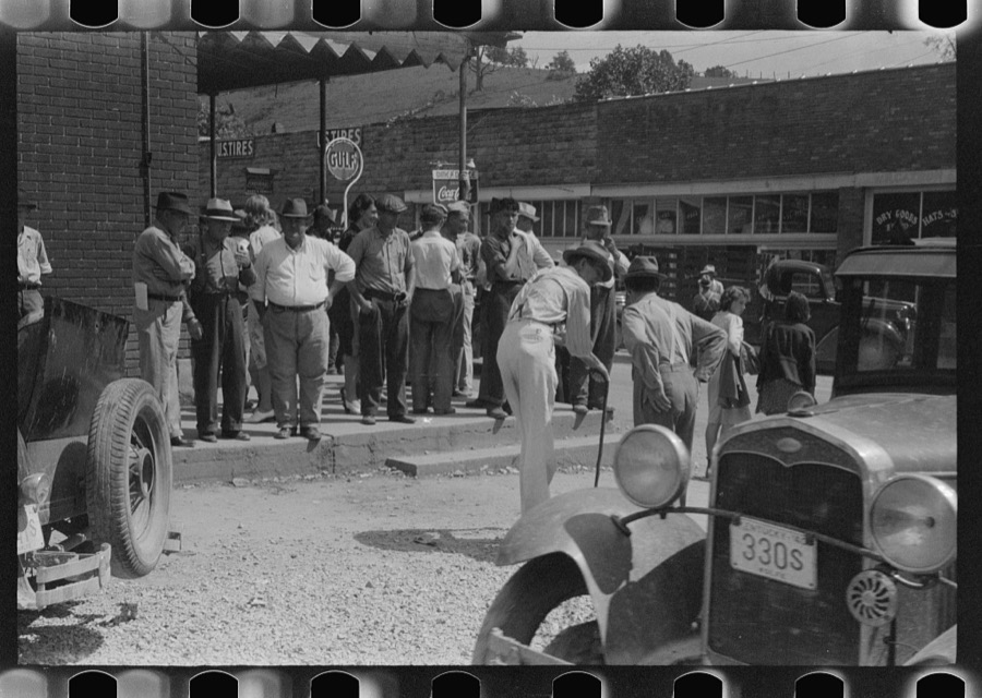
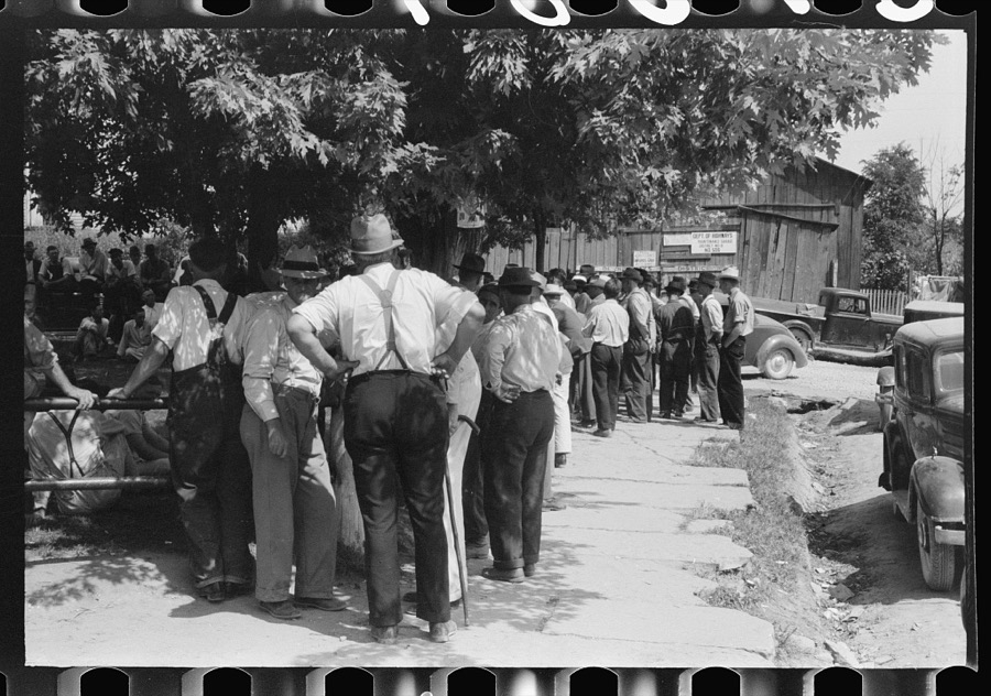
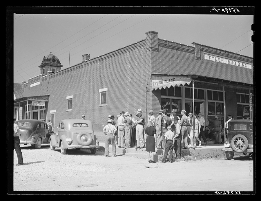
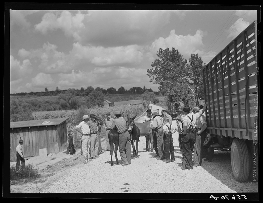


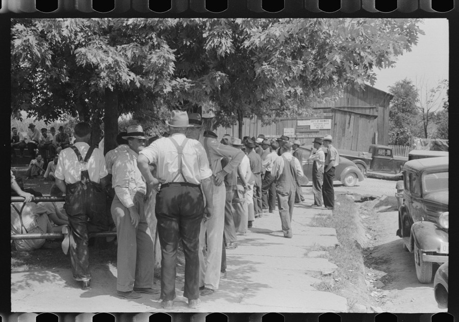

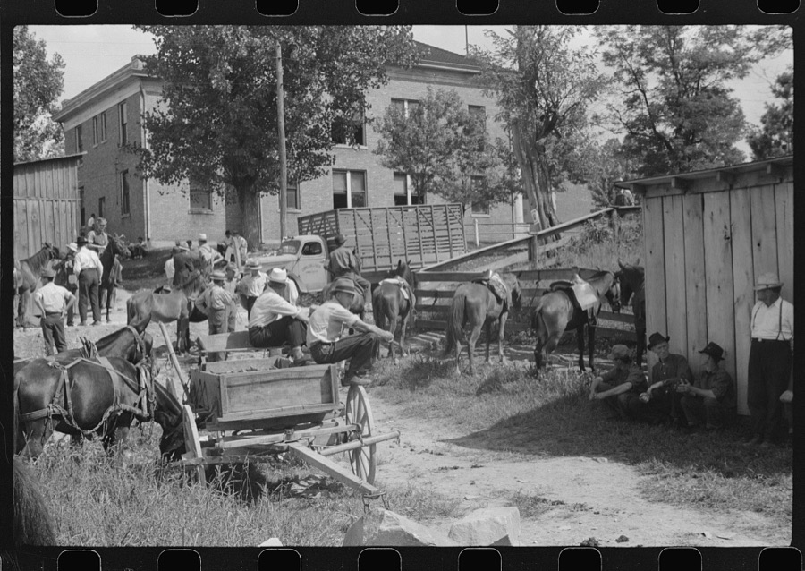


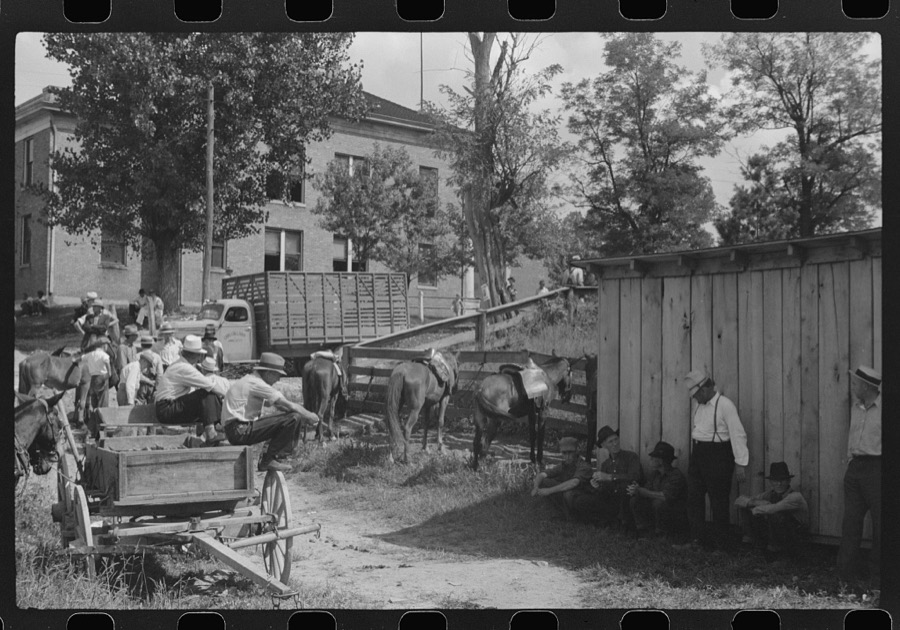



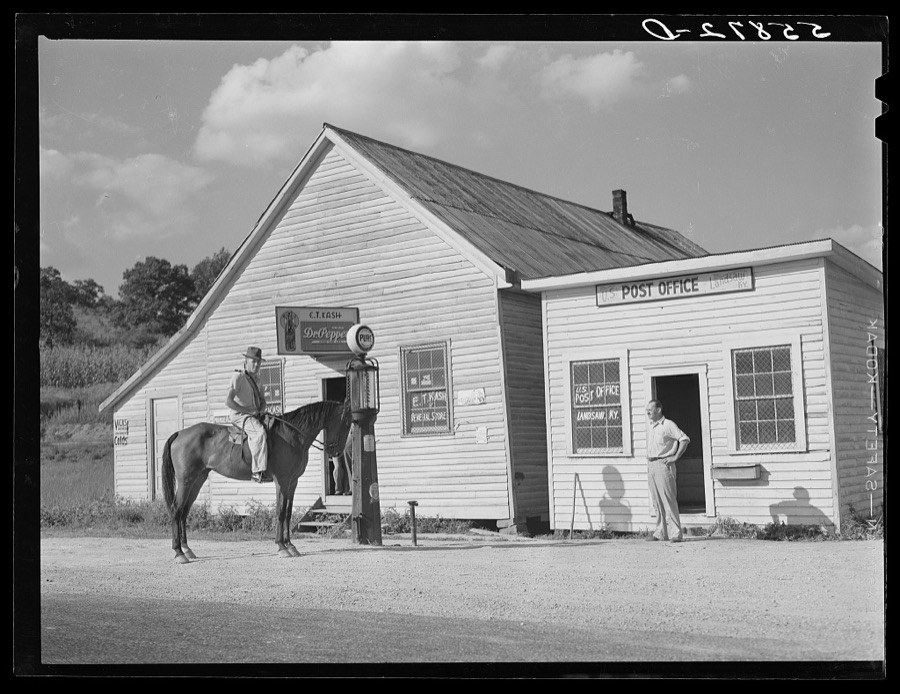

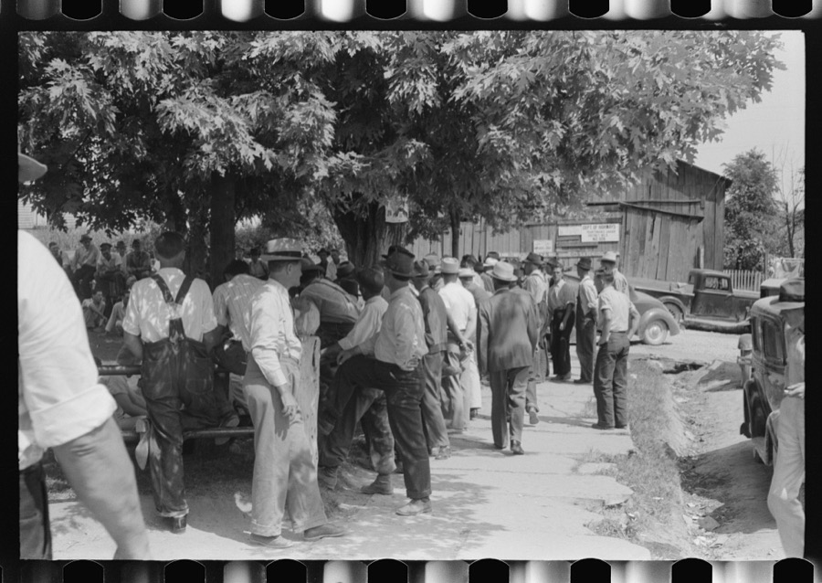
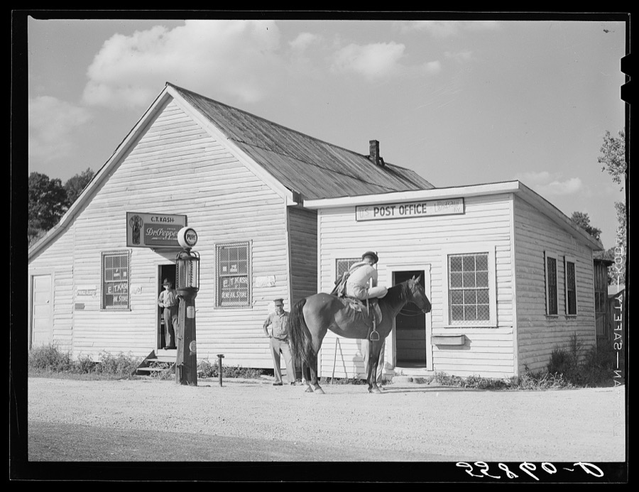


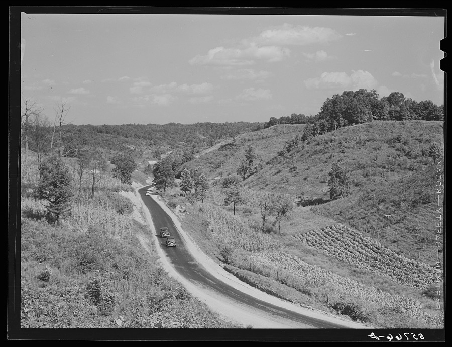
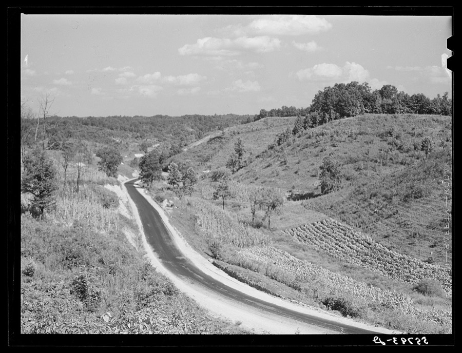
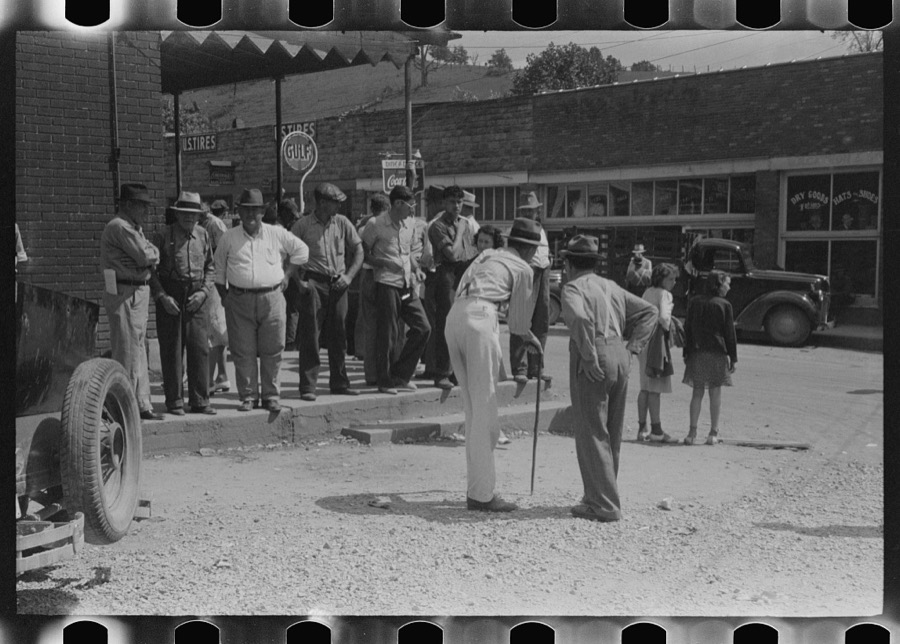
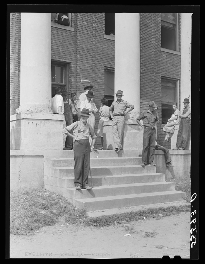
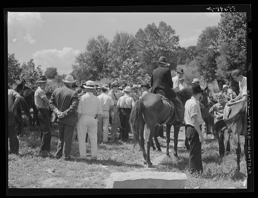
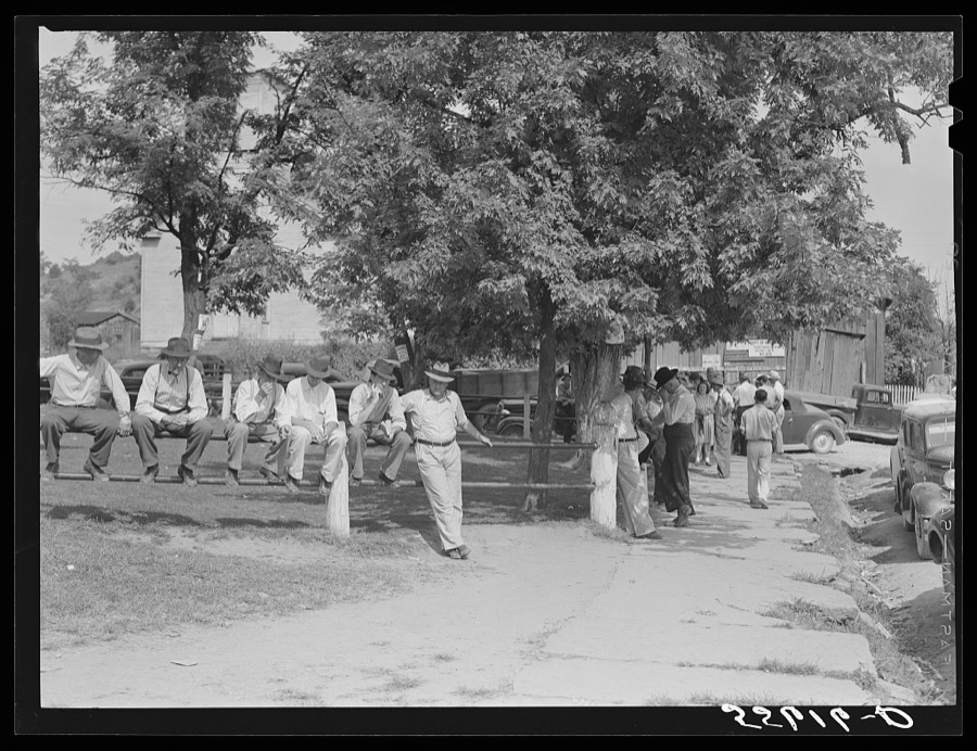
Every property in this county listed on the National Register of Historic Places, with the year it was listed and the federal nomination document.
| Photograph | Property | Type | Listed | Reference |
|---|---|---|---|---|
| Hazel Green Academy Historic Buildings | building | 1979 | 79001047 | |
 | William L. Hurst Law Office | building | 1993 | 93000697 |
| Wolfe County High School | building | 2013 | 13000477 |
Sampled issues, machine-read from the Library of Congress scan and published page by page, so every headline and column is searchable text.
Hazel Green, Wolfe County, Ky., 1885 to 19??. Machine-read from the Library of Congress scan.
Flown by the U.S. Geological Survey between 1937 and 1989, the Aerial Photo Single Frames collection is the definitive mid-century view of the land: fields, roads and rivers as the camera saw them. The Survey holds 641 frames inside the rectangle that bounds this county; the 27 frames below were taken over the county itself, chosen across the decades of flights (at most four a year from that rectangle), so one flight cannot crowd out the rest. The full set is free to browse and download at EarthExplorer under the dataset Aerial Photo Single Frames.

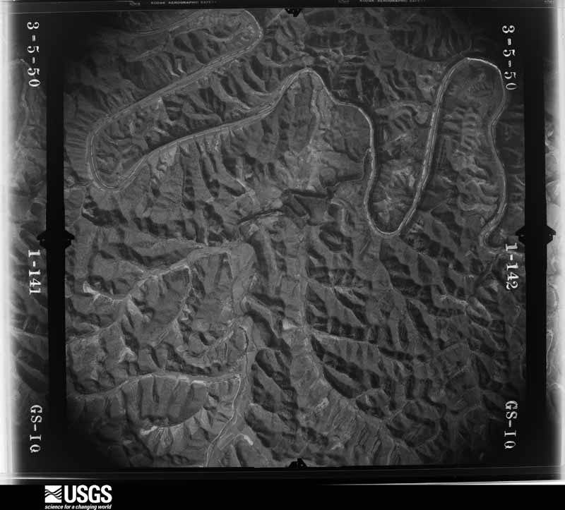
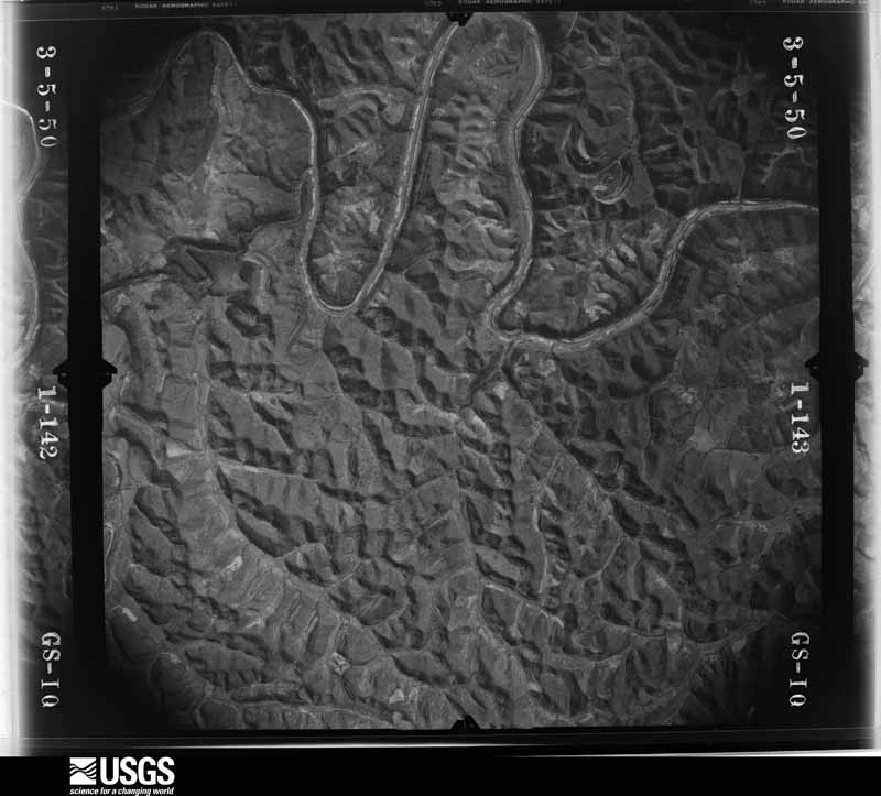
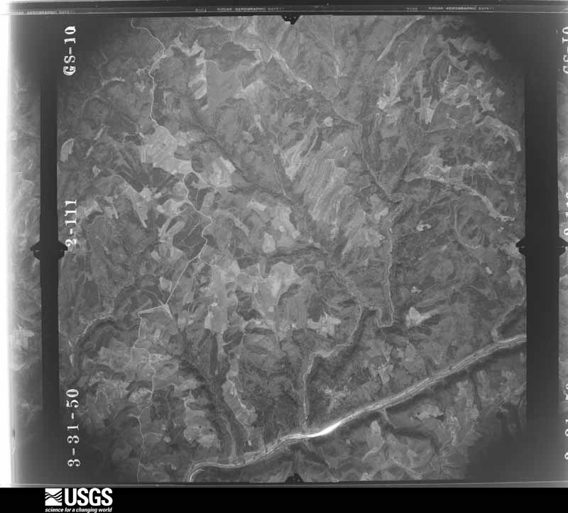

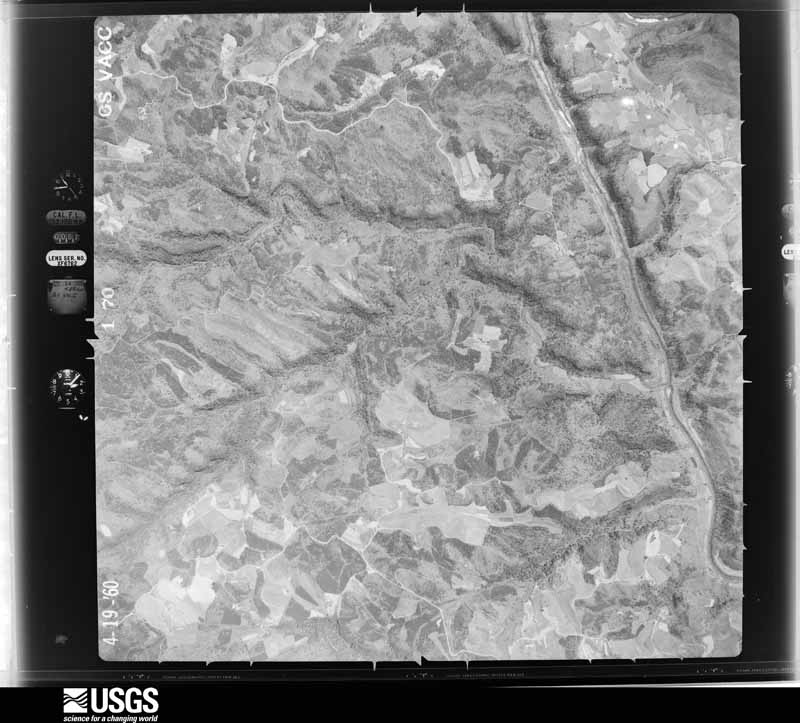


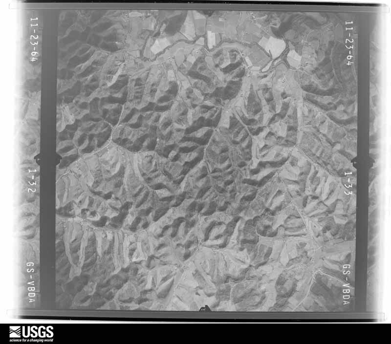
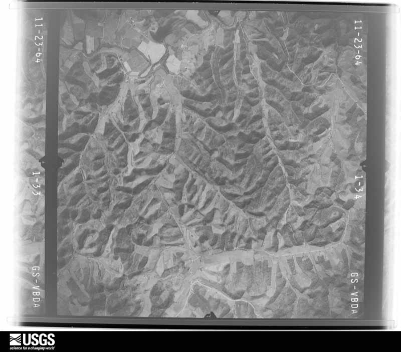






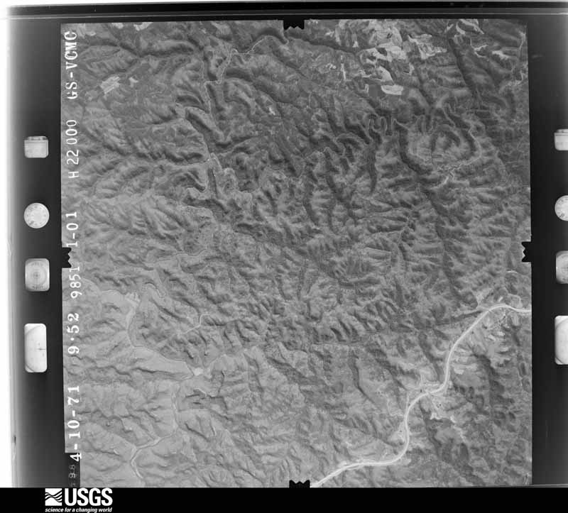
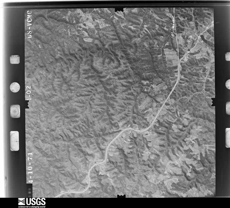
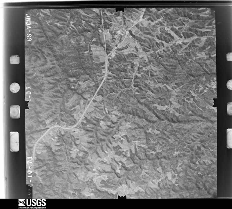
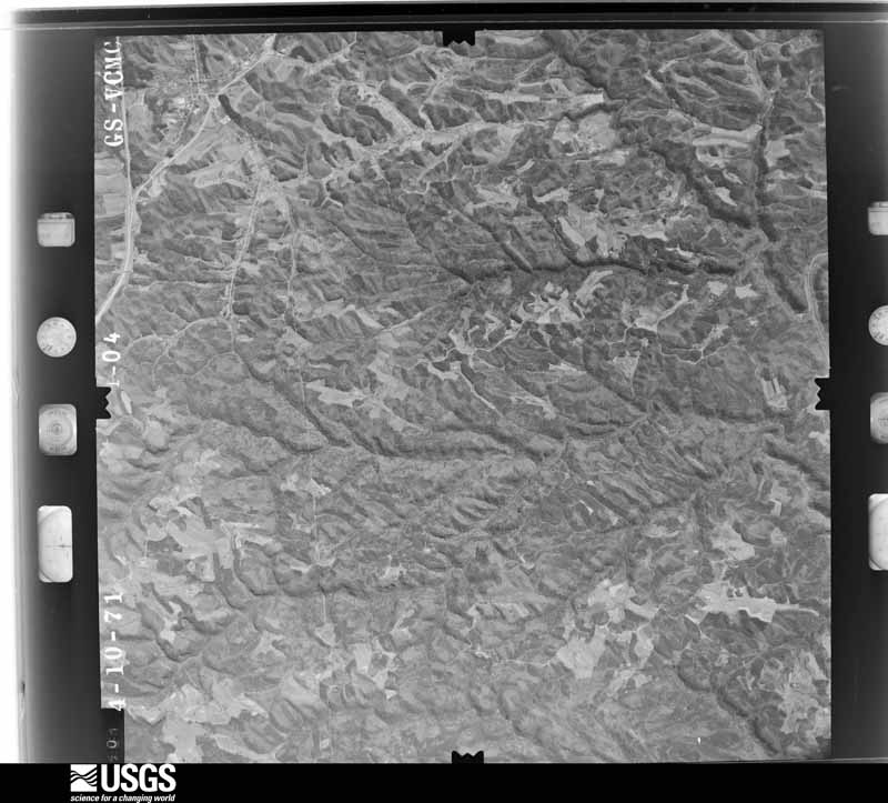







The thermometers that kept this county's weather, and the gages that measured the flow of its streams, as the federal records hold them. The extremes below are measured values from those records, not estimates.
Who lived here in 1950, one enumeration district at a time, as the Census Bureau described each district. Each row opens its official National Archives result, with Population Schedules and ED Maps available there.
Every wildfire the federal occurrence database records inside this county: 390 of them, burning about 4,746 acres. 5 started naturally and 44 were recorded as arson. Each settlement page carries the fires within five miles of it.
| Reported cause | Fires |
|---|---|
| Debris and open burning | 137 |
| Missing data/not specified/undetermined | 94 |
| Recreation and ceremony | 93 |
| Arson/incendiarism | 44 |
| Equipment and vehicle use | 7 |
| Natural | 5 |
| Railroad operations and maintenance | 3 |
| Misuse of fire by a minor | 3 |
| Smoking | 3 |
| Fireworks | 1 |
The five largest, by the area the report gives. One of them was set deliberately.
| Date | Cause | Size | Reported by | Name on the report |
|---|---|---|---|---|
| 3 October 2008 | Recreation and ceremony | 567 acres | Daniel Boone National Forest | PINCH EM TIGHT |
| 12 November 2005 | Missing data/not specified/undetermined | 250 acres | Kentucky Division of Forestry | TERRILL FK.RD. |
| 14 November 1999 | Arson/incendiarism | 210 acres | Daniel Boone National Forest | WHITTLETON BRANCH |
| 18 November 1999 | Recreation and ceremony | 180 acres | Daniel Boone National Forest | COPPERAS CREEK |
| 6 April 1999 | Missing data/not specified/undetermined | 160 acres | Daniel Boone National Forest | ROCKY GAP |
| 29 September 2019 | Recreation and ceremony | 125 acres | Daniel Boone National Forest | SKY BRIDGE |
| 23 November 2001 | Recreation and ceremony | 120 acres | Kentucky Division of Forestry | not named |
| 7 August 1999 | Natural | 120 acres | Daniel Boone National Forest | SILVERMINE ARCH |
Every settlement page carries the fires within five miles of it - see the settlement index below.
The NOAA Storm Events Database holds 289 reports for this county, causing no deaths, no injuries and about $4,073,500 in recorded property damage. Each settlement page carries the reports that name it.
| Kind of event | Reports |
|---|---|
| Thunderstorm Wind | 191 |
| Hail | 44 |
| Flash Flood | 34 |
| Flood | 13 |
| Tornado | 4 |
| Heavy Rain | 1 |
| Lightning | 1 |
| Debris Flow | 1 |
The most serious of them, by death, then injury, then recorded damage. The accounts are quoted exactly as the forecast office filed them.
| When | Event | Place named | Harm | What the report says |
|---|---|---|---|---|
| March 2012 | Hail | Campton | $2,000,000 | Baseball to apple size hail fell along a swath from Campton eastward to near Gilmore. Extensive damage was done to structures in downtown Campton, including roof damage to the high school. |
| June 1997 | Flash Flood | Campton | $1,000,000 | no account filed |
| August 2021 | Flash Flood | Bethany | $250,000 | Multiple pictures and reports of flash flooding were posted on social media from along Hwy-15 in the Bethany area. Water had surrounded and entered in numerous homes and businesses in the area. |
| August 2021 | Flash Flood | Bethany | $100,000 | Flash flooding impacted the community of Bethany, including Bethany Christian School. Multiple social media reports with pictures came in of flood waters inside of the school. |
| May 2025 | Thunderstorm Wind | Daysboro | $75,000 | Pictures on social media showed multiple trees blown down, including onto residences and vehicles along Fallen Road, in the Insko community. Minor wind damage was also sustained to the siding and roofing of a single wide trailer. |
| February 2011 | Tornado (EF1) | Gillmore | $75,000 | An EF-1 tornado was confirmed to have touched down 1 mile north of Gilmore. The tornados track was one quarter of a mile long and 100 yards wide. Numerous trees were snapped and scattered along the tornados path. One mobile home had its roof blow off and was also pushed about 5 feet off of its foundation. One barn was destroyed. Two other mobile homes had roof and siding damage. One outbuilding used as a sawmill was also destroyed. |
| February 2019 | Flash Flood | Campton | $65,000 | The public and an NWS employee reported numerous buildings in Campton being inundated with water. This includes the Chevrolet Dealership as well as a funeral home. Kentucky Highway 191 between Campton and Hazel Green was closed due to water running over the road. |
| August 2021 | Flash Flood | Malaga | $50,000 | Pictures and video on social media showed Stillwater Creek flash flooding around at least one barn and home between Malaga and Landsaw. |
| February 2019 | Flash Flood | Lee City | $30,000 | A citizen reported water flowing over Kentucky Highway 205 near Lee City. Water depth increased to 4 to 5 feet at one point, causing a car to become submerged. This resulted in a swift water rescue. One home reportedly had water enter into it. |
| April 2011 | Tornado (EF0) | Valeria | $30,000 | A National Weather Service storm damage survey team determined that an EF-0 tornado touched down briefly in Wolfe County near county road 2027 in the town of Valeria. The tornado lifted and moved a well constructed oak barn, twisted and uprooted many large trees, and destroyed and tossed a well anchored car port. There was also additional minor damage to two homes and a car due to this tornado. The maximum wind speeds of this tornado were estimated to have been between 80 and 85 mph. |
| May 2004 | Thunderstorm Wind | Rogers | $30,000 | A storm survey confirmed that straight line wind damaged two barns and blew down and sheared off dozens of trees. The damage path started a mile west of Rogers and ran east for two miles to Tar Ridge where damage to barns and a large number of trees occurred. The wind speeds with this storm were estimated at 70 to 80 mph. |
| June 2017 | Thunderstorm Wind | Campton | $25,000 | Dispatch relayed reports of several trees blown down from Campton to Vortex to Helechawa. A tree on Whitestone Road near Vortex fell on a vehicle, while Mountain Parkway and Kentucky Highway 191 at Bethel Chapel Road were blocked by downed trees. |
| July 2012 | Thunderstorm Wind | Hazel Green | $25,000 | Several trees were blown down and a barn was flattened along Hwy 191. |
| June 2010 | Thunderstorm Wind | Flat | $20,000 | Numerous trees were blown down with at least one power pole snapped. |
| May 2005 | Tornado (F0) | Pine Ridge | $20,000 | A brief F0 tornado touched down along Campbells Ridge Road. The tornado had a width of 80 yards and a length of 150 yards. This tornado downed several trees and caused damage to three structures. A mobile home was shifted, and one home sustained some roof damage. |
| February 1998 | Thunderstorm Wind | Hazel Green | $20,000 | A barn was destroyed. |
| August 2024 | Thunderstorm Wind | Torrent | $15,000 | Tree down on a vehicle along Hwy-715 somewhere between Zachariah and Pine Ridge, exact location not given. |
| February 2021 | Flash Flood | Lee City | $15,000 | Water began rising in the Lee City community, leading to a water rescue. Exact location within the community is unknown. |
| February 2019 | Flash Flood | Bethany | $15,000 | A portion of Kentucky Highway 1261 in Bethany was covered with flowing water as heavy rain occurred. Additionally, Bethany Christian School experienced water inundation in and around campus. Several footbridges were damaged and destroyed as well as numerous homes having water near and in them. |
| February 2011 | Thunderstorm Wind | Landsaw | $15,000 | Several houses along Landsaw Rd sustained roof damage. Several trees were also blown down along the Mountain Parkway near Landsaw. |
| July 2012 | Thunderstorm Wind | Gillmore | $10,000 | A tree fell onto a truck in the upper Gillmore community. |
| February 2011 | Thunderstorm Wind | Lexie | $10,000 | Large trees were blown down along KY 1010 and the Mountain Parkway by thunderstorm wind gusts 1 mile north of Lexie. |
| June 2010 | Thunderstorm Wind | Valeria | $10,000 | Multiple trees were blown down in Valeria. |
| August 1997 | Hail | Malaga | $10,000 | Hail caused extensive damage to the tobacco crop. |
| May 1996 | Thunderstorm Wind | Campton | $10,000 | no account filed |
| June 2022 | Thunderstorm Wind | Campton | $8,000 | A tree was blown down and onto a garage in Campton. |
| July 2008 | Thunderstorm Wind | Campton | $7,000 | One tree was blown down on Highway 2028. Trees were also blown down along Little Bloody Creek Road. |
| February 2008 | Thunderstorm Wind | Campton | $7,000 | A tree was blown onto a house on Plummer Street by thunderstorm wind gusts. |
| January 2008 | Thunderstorm Wind | Flat | $7,000 | Six or seven large trees were blown down onto Little Bloody Creek Road by wind gusts estimated at 62 mph. |
| August 2010 | Thunderstorm Wind | Toliver | $6,000 | Numerous large tree limbs were blown down onto area roadways. |
| June 2013 | Thunderstorm Wind | Helechawa | $5,000 | Numerous trees downed and two barn roofs heavily damaged by straight-line winds along the Mountain Parkway. |
| February 2011 | Thunderstorm Wind | Toliver | $5,000 | Trees were blown down on Hwy 1010 in Toliver. |
| June 2010 | Thunderstorm Wind | Campton | $5,000 | Several large trees were blown down near Campton. |
| February 2009 | Thunderstorm Wind | Rogers | $5,000 | A house was shifted off its foundation in the Tar Ridge area. |
| October 2009 | Thunderstorm Wind | Campton | $5,000 | Trees were blown down along Highway 715 near Angel Windows and the Arches area of northwestern Wolfe County. |
| February 2008 | Thunderstorm Wind | Campton | $5,000 | A large tree and several large branches were blown down along Highway 745 by thunderstorm wind gusts. |
| May 2000 | Thunderstorm Wind | Trent | $5,000 | Strong winds damaged roofs on two storage buildings and blew shingles off several roofs of homes. The winds blew a tree onto a car and a tree went down onto a mobile home. Chimney damage also occurred to 9 homes. |
| April 2000 | Thunderstorm Wind | Daysboro | $5,000 | Strong winds produced roof and porch damage to a residence. Another garage also received roof damage. |
| April 1999 | Flash Flood | Campton | $5,000 | Up to 3 inches of rain fell in less than 2 hours in and around the Campton area. A few businesses and homes received minor flood damage. Several families had to be evacuated along Swift Camp Creek near Campton. |
| June 2008 | Thunderstorm Wind | Torrent | $4,000 | One tree and numerous 2 inch diameter limbs were blown down by thunderstorm wind gusts. |
| October 2009 | Thunderstorm Wind | Hazel Green | $3,000 | Trees were blown down along Highway 191 in Hazel Green. |
| July 2008 | Thunderstorm Wind | Campton | $3,000 | Three trees were blown down by thunderstorm wind gusts on Highway 191. |
| February 2008 | Thunderstorm Wind | Campton | $3,000 | A large tree was snapped off and several large limbs were blown down by thunderstorm wind gusts along Highway 745. |
| July 1997 | Thunderstorm Wind | Pine Ridge | $3,000 | Numerous trees and power lines were downed in the western part of the county. |
| February 2023 | Debris Flow | Hollonville | $2,000 | A NWS employee came upon a road block around 5762 KY-15, northwest of Bethany, due to a hillside/driveway being washed out onto the road and making the road impassable. |
| June 2019 | Lightning | Hazel Green | $2,000 | A citizen reported a cloud to ground lightning strike that struck a field and resulted in the death of a calf north of Hazel Green. |
| February 2011 | Thunderstorm Wind | Rogers | $2,000 | A tree at least 12 inches in diameter was blown down and onto power lines, blocking Hwy 715 just south of Rogers. |
| February 2011 | Thunderstorm Wind | Gillmore | $2,000 | An overhang porch and pieces of siding were torn off a mobile home in Gilmore. |
| July 2007 | Thunderstorm Wind | Campton | $2,000 | Trees down in and near Campton; one on Elkins Road and another on the Moutain Parkway. Tee down on the Parkway closed down both east bound lanes near the 50 mile marker. |
| January 2006 | Thunderstorm Wind | Campton | $2,000 | Two trees down on Plummer Street. Trees took power lines, cutting power to the downtown area. Trees also down on Kentucky Highway 1261 at Hollonville and on Kentucky Highway 715 near Rogers. |
| June 2001 | Thunderstorm Wind | Campton | $2,000 | Thunderstorm winds blew large branches down, knocking power lines down. |
| July 2001 | Thunderstorm Wind | Landsaw | $2,000 | Trees and power lines were blown down. |
| July 2001 | Thunderstorm Wind | Campton | $2,000 | Trees and power lines were blown down. |
| January 1997 | Thunderstorm Wind | Hazel Green | $2,000 | no account filed |
| May 2025 | Thunderstorm Wind | Daysboro | $1,000 | A NWS employee reported a large tree and powerlines were reported to have been blown down between MM 12 and the Red River Elementary School on KY-191. |
| June 2022 | Thunderstorm Wind | Campton | $1,000 | A tree fell on Hiram Branch Road. The tree fell onto a power line, taking out power to nearby customers. |
| May 2016 | Flash Flood | Campton | $1,000 | At least six inches of water was observed flowing across KY Hwy 191 and Main Street in and just outside of the city of Campton. |
| March 2015 | Flood | Toliver | $1,000 | Stamper Branch was flooded. |
| March 2015 | Flood | Burkhart | $1,000 | Arnoldsville Rd was flooded. The flood water had also entered a mobile home. |
| April 2015 | Flood | Lee City | $1,000 | Highway 205 was closed due to flooding at the intersection of Hwy 1094 in Lee City. |
The Survey's mineral resources record lists 2 workings inside this county. 1 still produces and 1 is closed or unrecorded. Each settlement page carries the workings within five miles of it.
| Commodity | Workings |
|---|---|
| Stone, Crushed/Broken | 1 |
| Silica | 1 |
The least common of them first, because a county's hundredth gravel pit says nothing its first ten did not.
| Where | Site | Commodity | Status | Recorded |
|---|---|---|---|---|
| Mill Creek Stone | Stone, Crushed/Broken | Producer | ||
| Stillwater Sandstone Exposure | Silica | Prospect |
Named settlements recorded in the Geographic Names Information System, each with the topographic sheets covering it. Villages, hamlets and abandoned places alike. Each is shown with the nearest named watercourse or landform and the survey quadrangle it falls on.
Campton census division · 41301 · On Bear Pen Creek · Campton quadrangle
12 sheets, 1892 to 1982
No longer a settlement
Malaga census division · 41301 · On Mandy Holland Fork · Landsaw quadrangle
13 sheets, 1889 to 1982
No longer a settlement
Malaga census division · 41301 · On Swango Fork · Landsaw quadrangle
13 sheets, 1889 to 1982
Hazel Green census division · 41301 · On Maddix Branch · Lee City quadrangle
11 sheets, 1889 to 1982
Campton census division · 41365 · On Smoky Fork · Zachariah quadrangle
13 sheets, 1892 to 1982
Hazel Green census division · 41301 · On Poor Branch · Lee City quadrangle
11 sheets, 1889 to 1982
Campton census division · 41301 · On Hiram Branch · Campton quadrangle
12 sheets, 1892 to 1982
Malaga census division · 41301 · On Chambers Fork · Landsaw quadrangle
13 sheets, 1889 to 1982
No longer a settlement
Hazel Green census division · 41332 · On Gillmore Creek · Hazel Green quadrangle
14 sheets, 1889 to 1982
Campton census division · 41301 · On Torrent Creek · Zachariah quadrangle
13 sheets, 1892 to 1982
No longer a settlement
Hazel Green census division · 41301 · On Sam Hall Branch · Lee City quadrangle
11 sheets, 1889 to 1982
Campton census division · 41360 · On Mill Creek · Slade quadrangle
12 sheets, 1892 to 1982
Campton census division · 41301 · Near Sandy Ridge · Campton quadrangle
12 sheets, 1892 to 1982
Hazel Green census division · 41332 · On Lacy Creek · Hazel Green quadrangle
14 sheets, 1889 to 1982
Hazel Green census division · 41332 · On State Road Fork · Cannel City quadrangle
14 sheets, 1889 to 1982
Campton census division · 41301 · On Meadows Branch · Campton quadrangle
12 sheets, 1892 to 1982
Malaga census division · 41301 · On Spring Branch · Landsaw quadrangle
13 sheets, 1889 to 1982
Malaga census division · 41301 · On Murphy Fork · Landsaw quadrangle
13 sheets, 1889 to 1982
Hazel Green census division · 41301 · On Rose Fork · Lee City quadrangle
11 sheets, 1889 to 1982
Hazel Green census division · 41301 · On Carson Fork · Landsaw quadrangle
13 sheets, 1889 to 1982
Hazel Green census division · 41301 · Near Gibbs Hollow · Cannel City quadrangle
14 sheets, 1889 to 1982
Malaga census division · 41301 · On Betts Branch · Landsaw quadrangle
13 sheets, 1889 to 1982
Campton census division · 41301 · On Bear Pen Creek · Campton quadrangle
12 sheets, 1892 to 1982
Campton census division · 41301 · On Mullins Point · Campton quadrangle
12 sheets, 1892 to 1982
No longer a settlement
Malaga census division · 41301 · On Prophet Branch · Campton quadrangle
12 sheets, 1892 to 1982
No longer a settlement
Campton census division · 41360 · On Pine Ridge · Pomeroyton quadrangle
15 sheets, 1892 to 1982
Campton census division · 41365 · On Koomer Branch · Zachariah quadrangle
13 sheets, 1892 to 1982
Hazel Green census division · 41301 · On Carson Fork · Landsaw quadrangle
13 sheets, 1889 to 1982
No longer a settlement
Malaga census division · 41301 · On Murphy Fork · Landsaw quadrangle
13 sheets, 1889 to 1982
No longer a settlement
Hazel Green census division · 41301 · On Shockey Fork · Lee City quadrangle
11 sheets, 1889 to 1982
41301 · On Little Bloody Creek · Campton quadrangle
12 sheets, 1892 to 1982
No longer a settlement
Campton census division · 41301 · On Beech Stand Fork · Zachariah quadrangle
13 sheets, 1892 to 1982
Hazel Green census division · 41301 · On Trace Fork · Hazel Green quadrangle
14 sheets, 1889 to 1982
Hazel Green census division · 41332 · On Chapel Branch · Hazel Green quadrangle
14 sheets, 1889 to 1982
Campton census division · 41301 · On Torrent Creek · Zachariah quadrangle
13 sheets, 1892 to 1982
Hazel Green census division · 41301 · On Left Fork Stamper · Hazel Green quadrangle
14 sheets, 1889 to 1982
Hazel Green census division · 41301 · On Lindon Fork · Lee City quadrangle
11 sheets, 1889 to 1982
Campton census division · 41301 · On Smoky Branch · Campton quadrangle
12 sheets, 1892 to 1982
Hazel Green census division · 41301 · On Wolf Pen Branch · Lee City quadrangle
11 sheets, 1889 to 1982
No longer a settlement
Campton census division · 41301 · Near Little Bend Ridge · Zachariah quadrangle
13 sheets, 1892 to 1982
The vanished settlements of Wolfe County: the places named above that are no longer on the map.