 Block
From the record
80 National Register listings published here.
Sources: the National Register database, National Park Service
53 topographic sheets and 16 fire insurance atlases across 2 places.
80 National Register listings published here.
Sources: the National Register database, National Park Service
Taken for the Office of War Information and the Farm Security Administration, who photographed the country between 1935 and 1944. Works of United States government photographers, with no known restriction on use. Each opens its catalogue record.
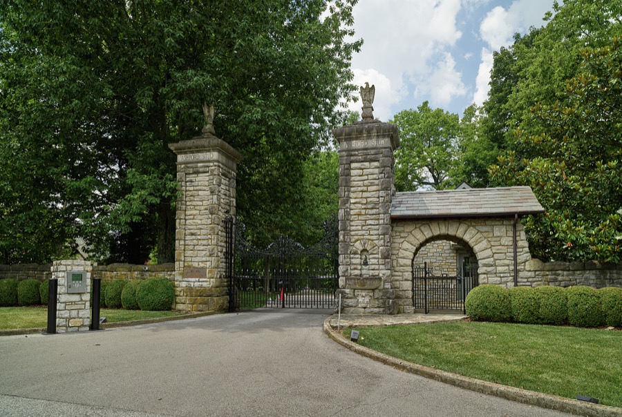
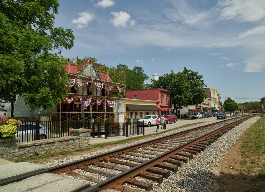

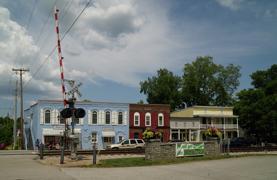
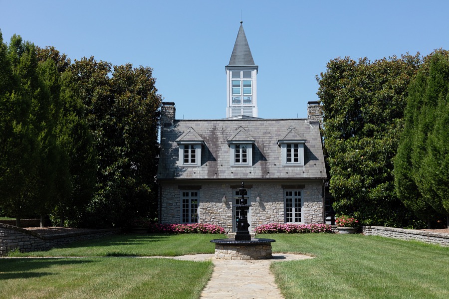
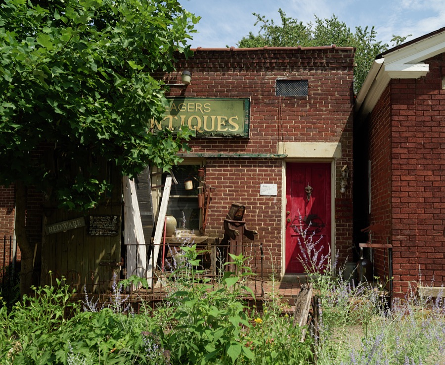
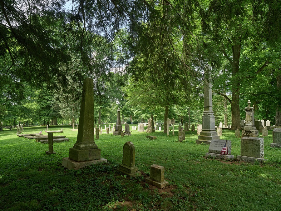
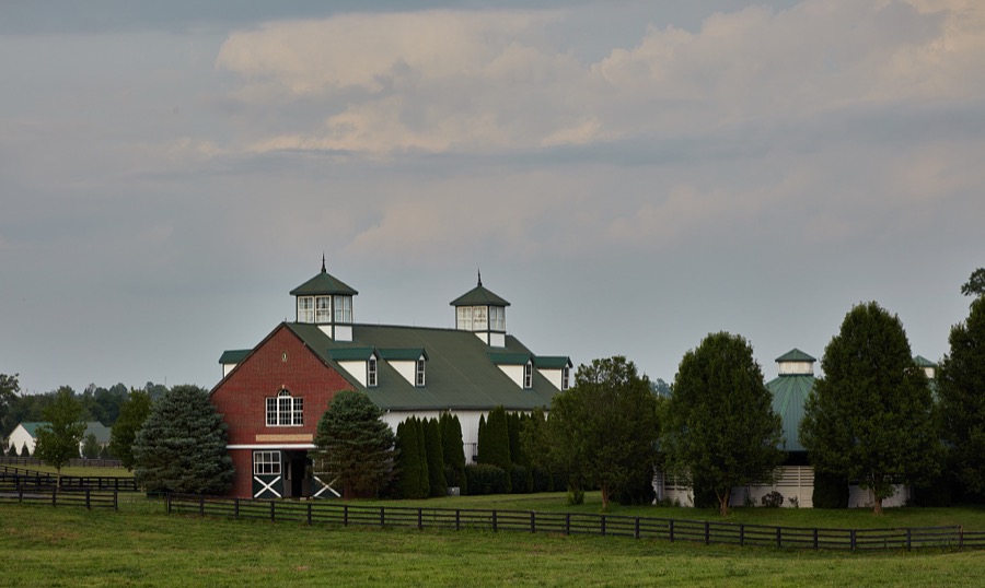



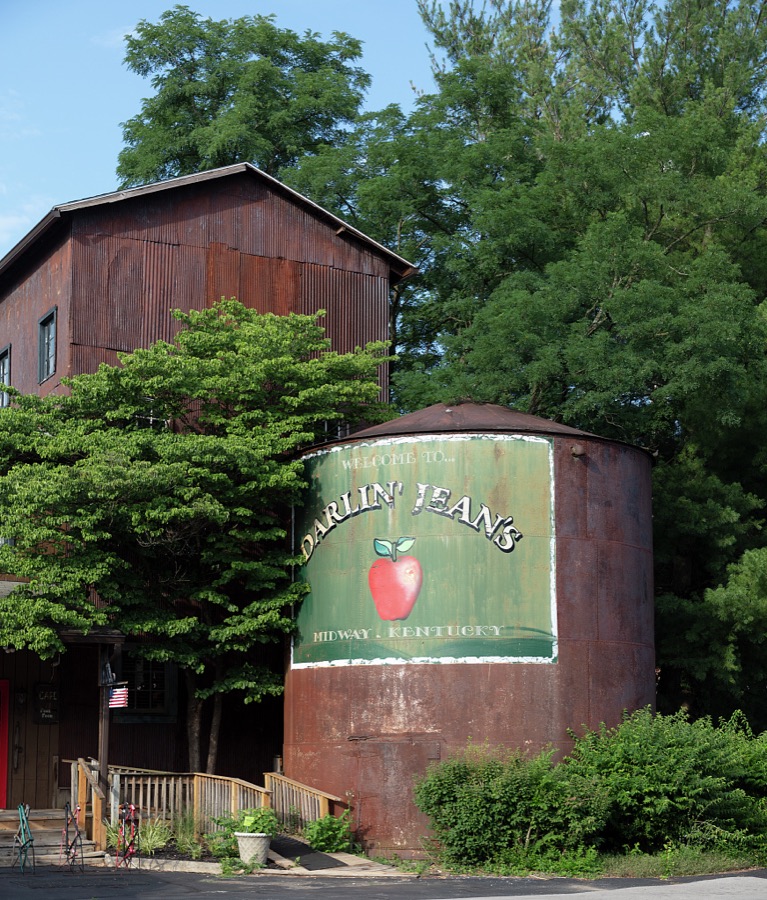




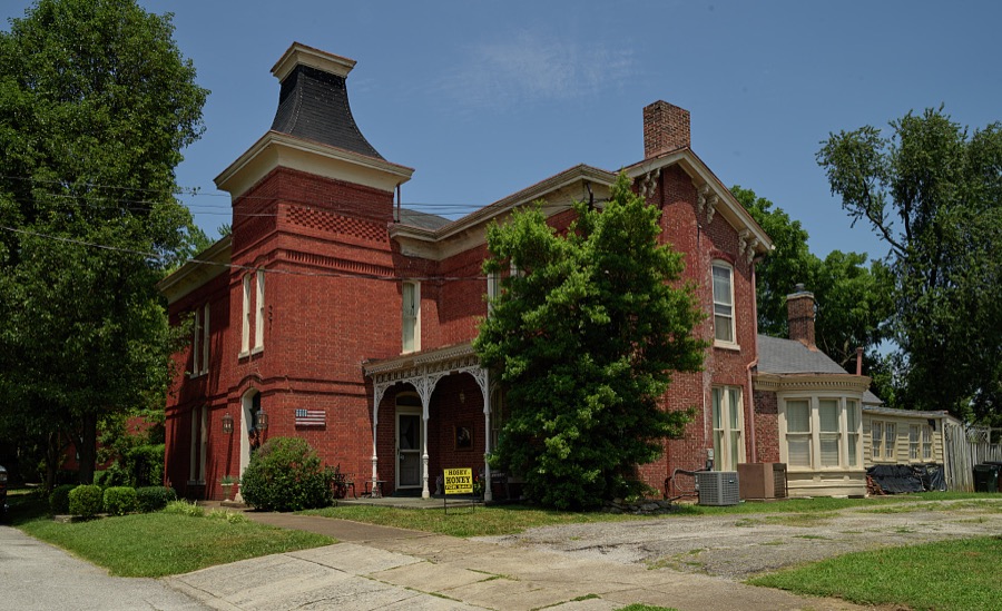



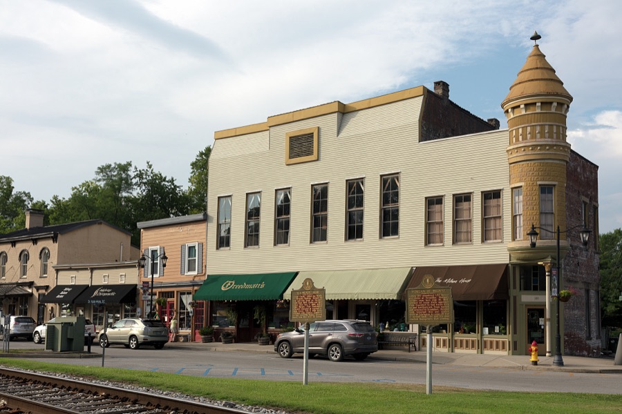
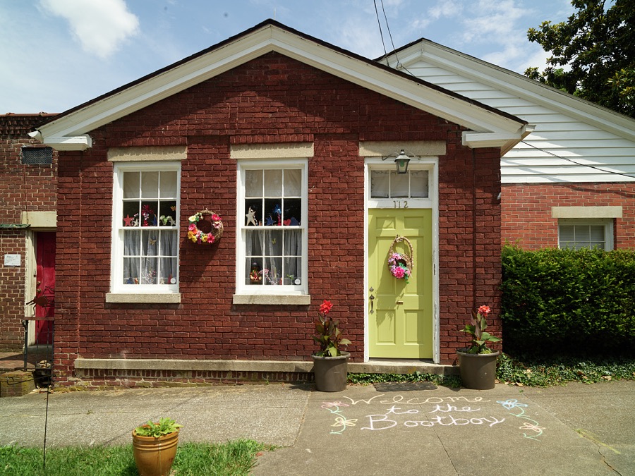
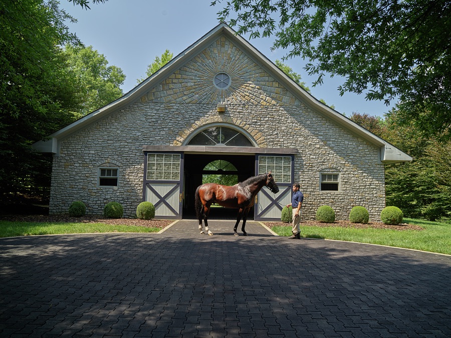

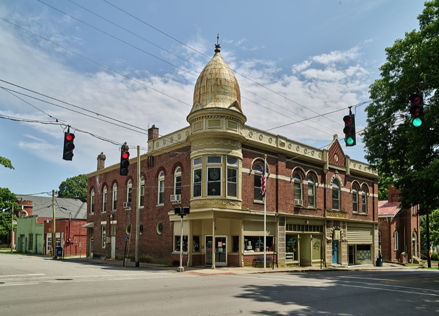
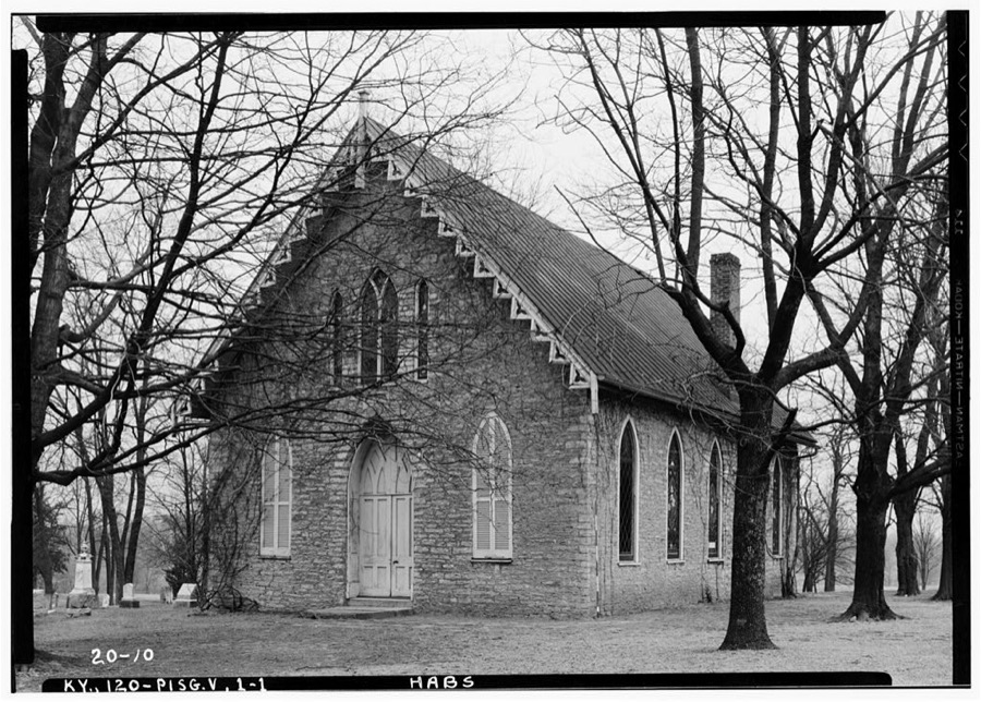
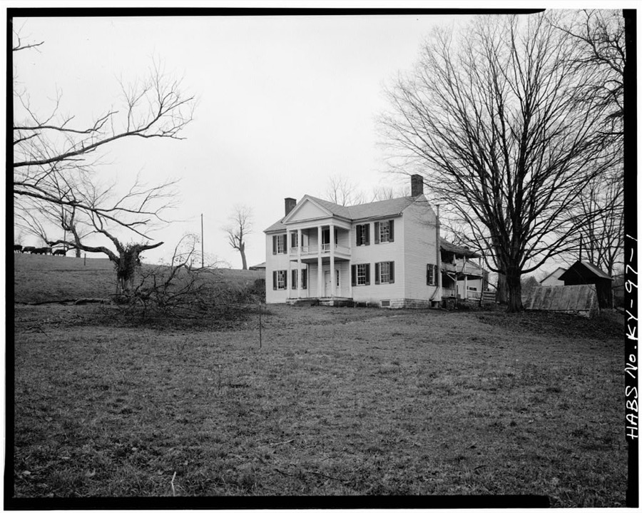
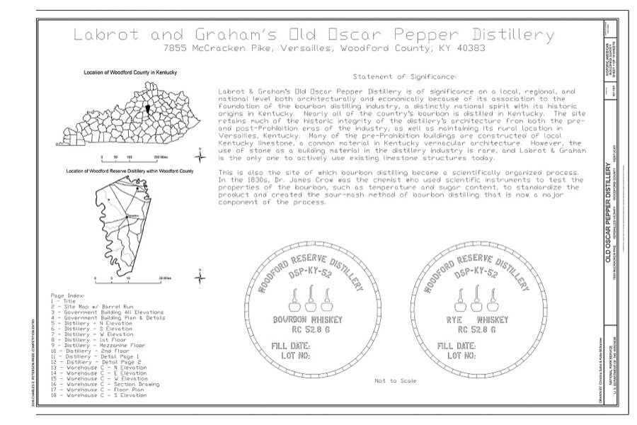
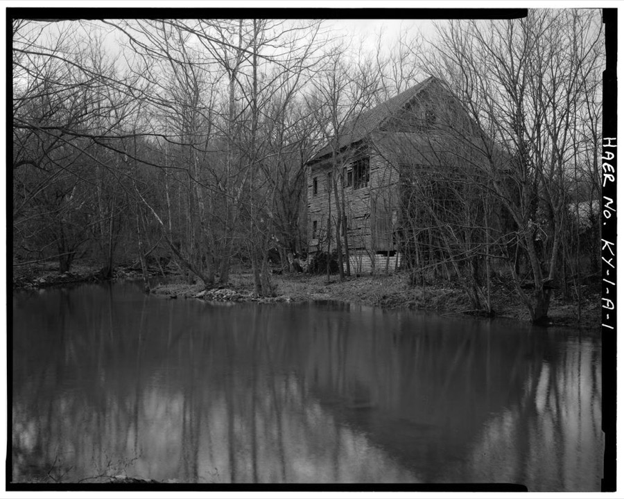
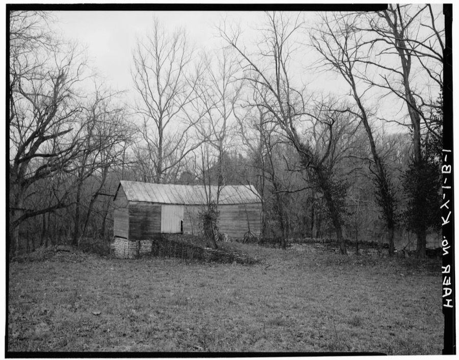
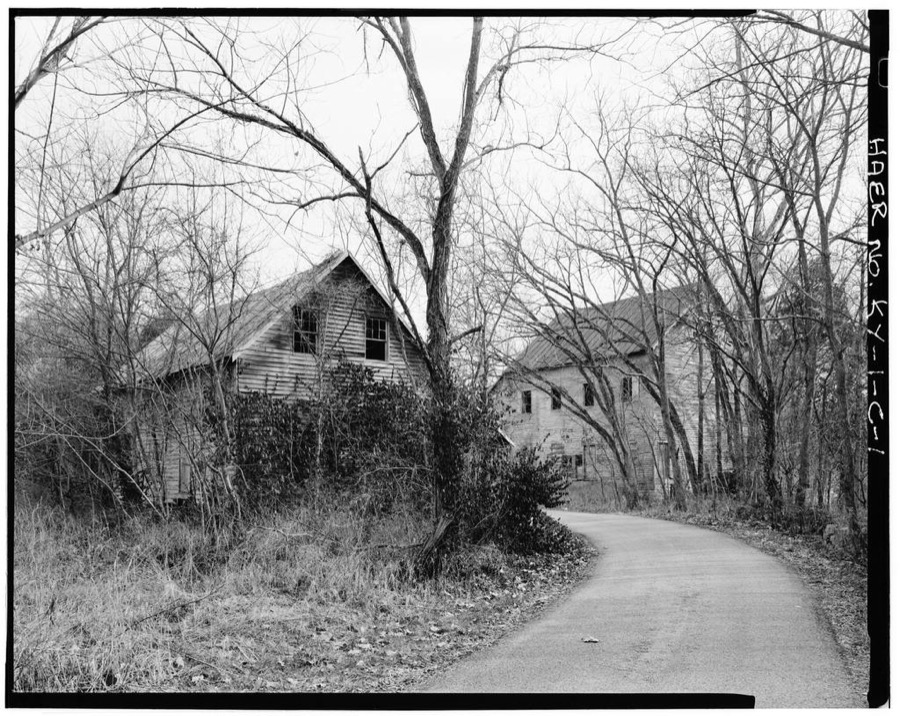
Every property in this county listed on the National Register of Historic Places, with the year it was listed and the federal nomination document.
| Photograph | Property | Type | Listed | Reference |
|---|---|---|---|---|
| Airy Mount | building | 1978 | 78001417 | |
 | Alexander Plantation House | building | 1983 | 83002891 |
| John Allen House | building | 1983 | 83002892 | |
| Arnold-Wooldridge House | building | 1979 | 79001048 | |
| Ayres House | building | 1994 | 93001522 | |
| Big Sink Rural Historic District | district | 1994 | 93001523 | |
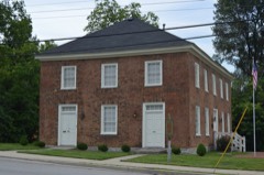 | Big Spring Church | building | 1975 | 75000842 |
| Charles Black Farm | district | 1989 | 88003347 | |
| Edward M. Blackburn House | building | 1985 | 85003073 | |
| Lucas Broadhead House | building | 1994 | 93001524 | |
| Buck Pond | building | 1989 | 88003344 | |
| Marquis Calmes Tomb | structure | 1989 | 88003346 | |
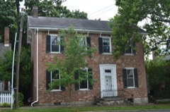 | Carter House | building | 1975 | 75000843 |
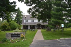 | Cleveland House | building | 2007 | 07000287 |
| Clifton Country Club | district | 1995 | 95001271 | |
| Clifton-McCraken Rural Historic District | district | 1999 | 98000326 | |
| Richard Cole Homestead | building | 1994 | 93001525 | |
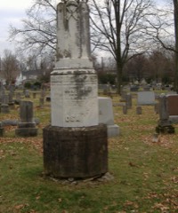 | Confederate Monument in Versailles | object | 1997 | 97000662 |
| Cooper House | building | 1994 | 93001526 | |
| Downtown Versailles Historic District | district | 1975 | 75000844 | |
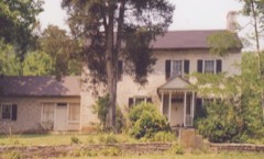 | Joel DuPuy House | building | 1983 | 83002893 |
| Edgewood | building | 1976 | 76000960 | |
| Thomas Edwards House and Quarters | building | 1983 | 83002894 | |
| Elkwood | building | 1994 | 93001527 | |
| William Garrett House | building | 1983 | 83002895 | |
| John Graham House | building | 1978 | 78001416 | |
| Guyn's Mill Historic District | district | 1983 | 83002897 | |
| Robert Guyn Jr. House | building | 1983 | 83002896 | |
| Ezra Hammon House | building | 1983 | 83002898 | |
| A. T. Harris House | building | 1989 | 88003345 | |
| Heartland | building | 2019 | 100004004 | |
| Hogan Quarters | building | 1983 | 83002899 | |
| Humphries Estate Quarters | building | 1983 | 83002900 | |
| Dr. William Jennings House | building | 1983 | 83002901 | |
| Capt. Jack Jouett House | building | 1972 | 72000548 | |
| Labrot & Graham Distillery | district | 1995 | 95001272 | |
| Leavy Tobacco Barn | building | 1994 | 93001528 | |
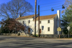 | Lee's Tavern | building | 1977 | 77000664 |
| Thomas Lyne House | building | 1980 | 80001691 | |
 | Margaret Hall | building | 1987 | 87001304 |
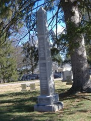 | Martyrs Monument in Midway | object | 1997 | 97000663 |
| McCrackin Distillery and Mill | building | 1983 | 83002903 | |
| Cyrus McCrackin House and Quarters | building | 1983 | 83002902 | |
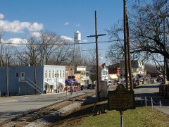 | Midway Historic District | district | 1978 | 78001415 |
| Miller's House at Mortonsville Mill | building | 1983 | 83002904 | |
| Millville General Store | building | 2023 | 100009537 | |
| George F. Moore Place | building | 1983 | 83002905 | |
| Morgan Street Historic District | district | 1980 | 80001692 | |
| Moss Side | building | 1979 | 79001049 | |
| Andrew Muldrow Quarters | building | 1983 | 83002907 | |
| Munday's Landing | building | 1975 | 75000845 | |
| Claiborne W. Nuckols Farmstead | building | 1994 | 93001529 | |
| Nugent's Crossroad Historic District | building | 1994 | 93001530 | |
 | Old Taylor Distillery | district | 2017 | 100000747 |
| Paul Family Complex | district | 1980 | 80001690 | |
| Lewis Payne House | building | 1982 | 82002750 | |
| Pinkerton Hall | building | 1974 | 74000919 | |
| Pisgah Presbyterian Church | building | 1983 | 83002906 | |
| Pisgah Rural Historic District | district | 1989 | 88003348 | |
| Pleasant Lawn | building | 1978 | 78001418 | |
| Ready-Twyman House | building | 2019 | 100003477 | |
| Robertson Place | building | 1983 | 83002908 | |
| Rose Hill Historic District | district | 1982 | 82001578 | |
| Scearce House | building | 1987 | 87000602 | |
| South Main Street Historic District | district | 1987 | 87001106 | |
| Stone House at Fisher's Mill | building | 1983 | 83002912 | |
| Stone House on Beale's Run | building | 1983 | 83002910 | |
| Stone House on Clifton Pike | building | 1983 | 83002911 | |
| Stone House on Steele's Grant | building | 1983 | 83002575 | |
| Stone House on Tanner's Creek | building | 1983 | 83002913 | |
| E. W. Taylor House | building | 1994 | 93001531 | |
| Solomon Thomas House | building | 1983 | 83002914 | |
| Versailles Elementary School | district | 2015 | 15000459 | |
| W.B. Spring House | building | 1983 | 83002915 | |
| Wallace Station Historic District | district | 1994 | 93001534 | |
| Samuel Wallace House | building | 1994 | 93001532 | |
| Wallace-Alford Farmstead | building | 1994 | 93001533 | |
| Welcome Hall | building | 1975 | 75000846 | |
| Benjamin Wilson House | building | 1983 | 83002916 | |
| Wyndehurst | building | 1978 | 78001419 |
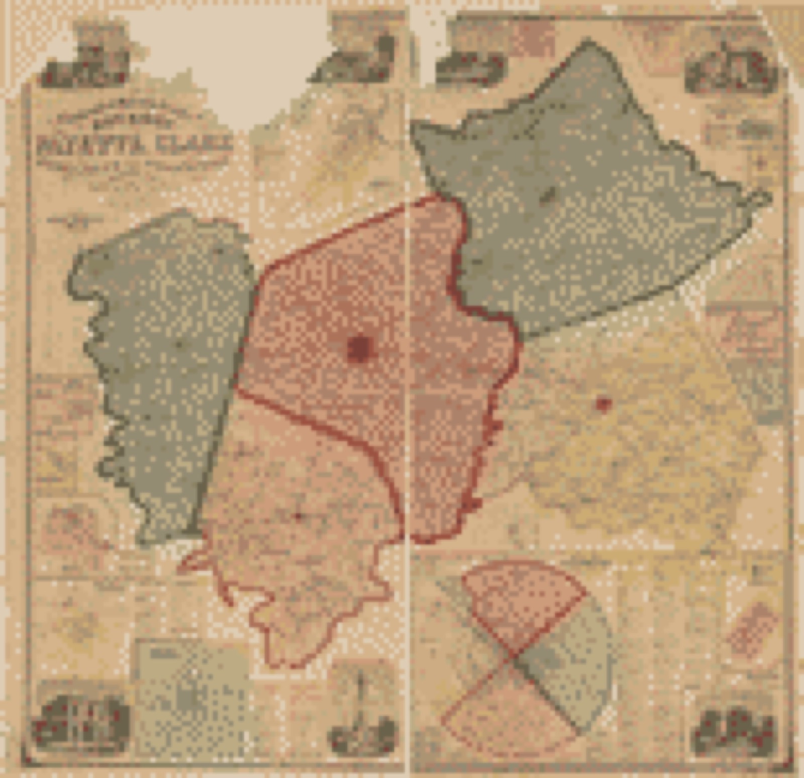
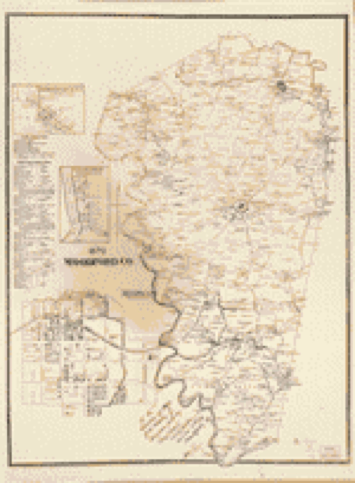
Drawn when these were printed as single large sheets: the town seen from the air, and the county divided into its farms with every owner named. Each opens the original at the Library of Congress.

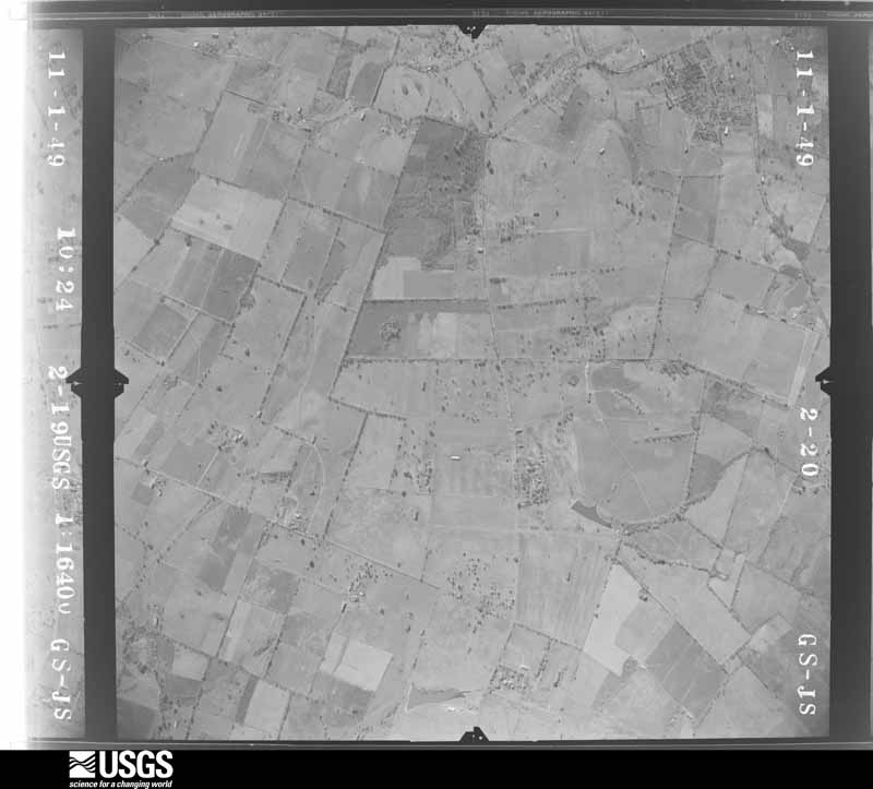
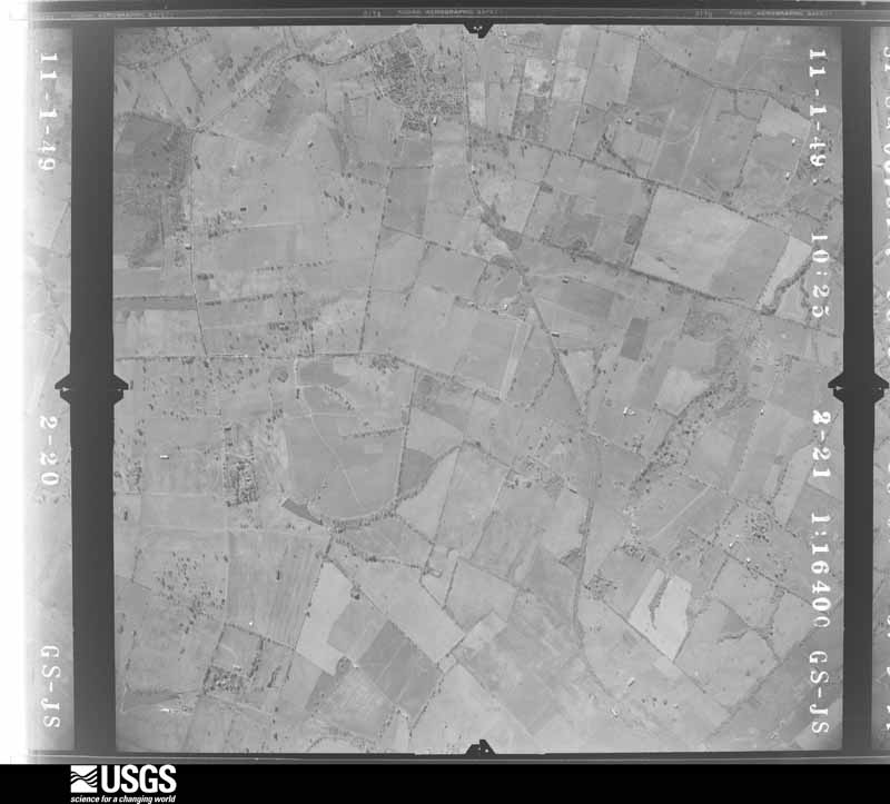
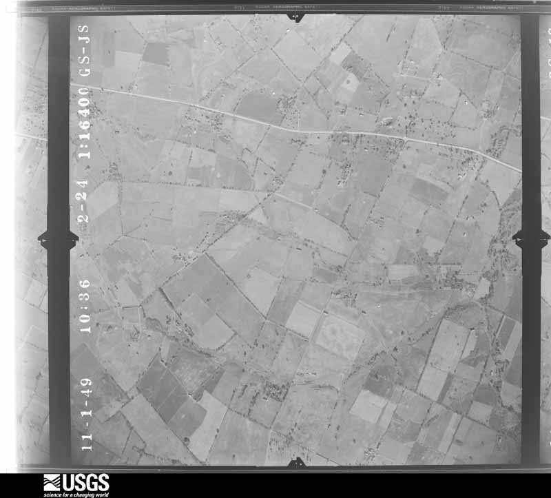
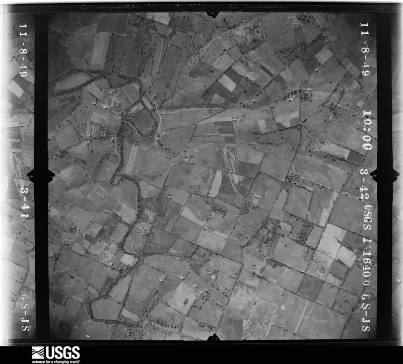
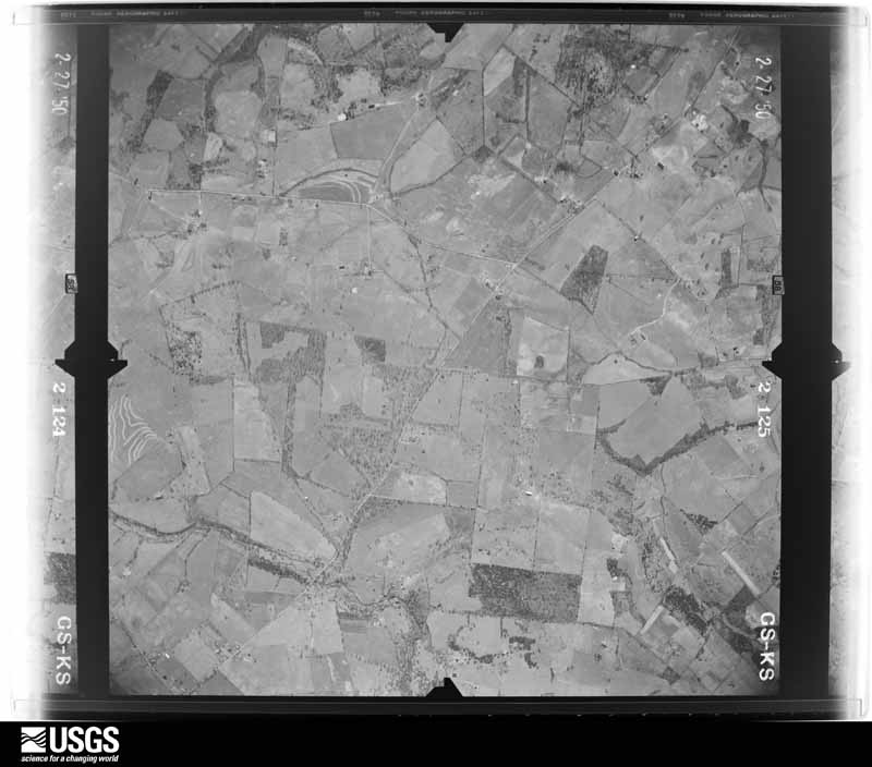
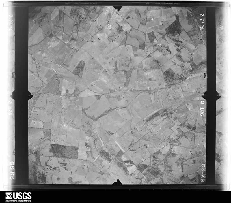
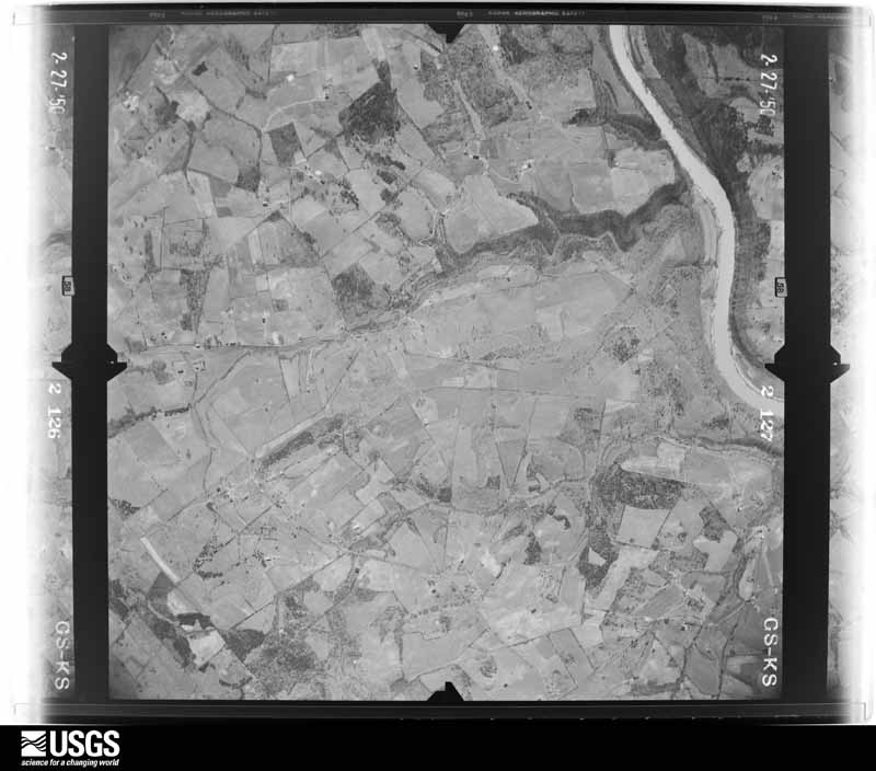
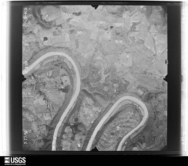
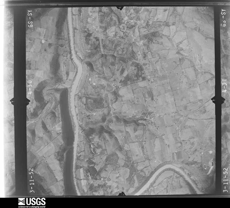
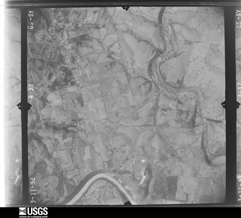
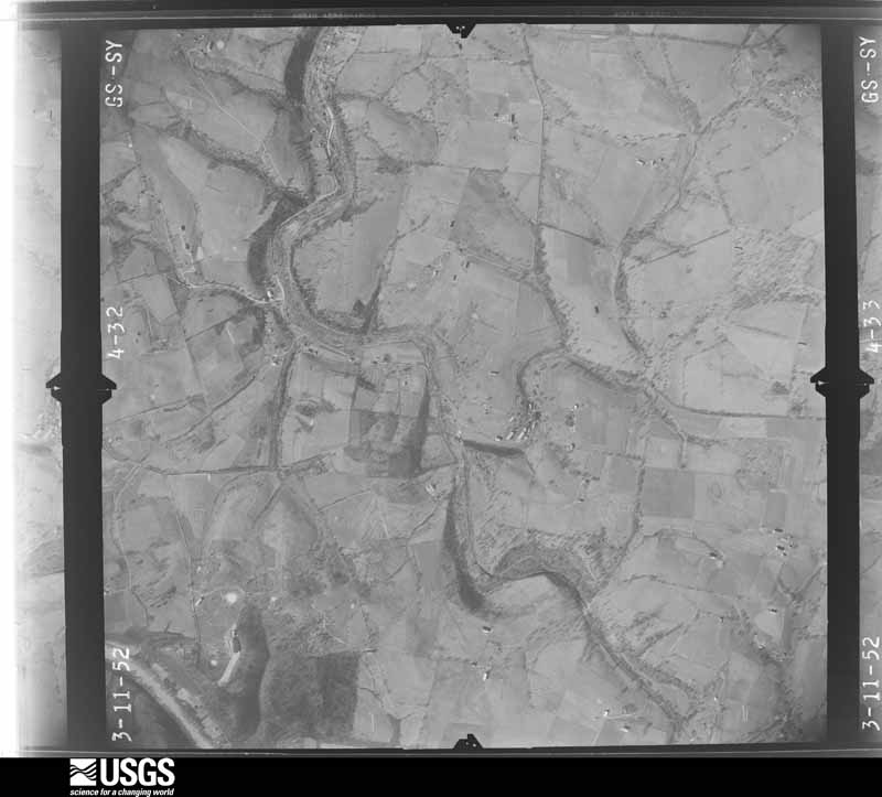
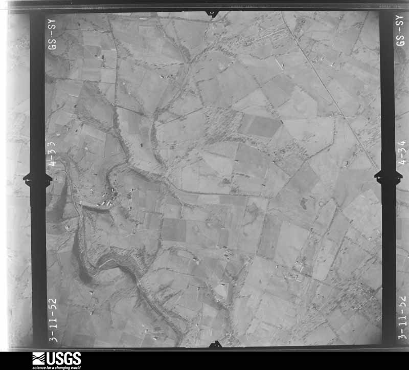
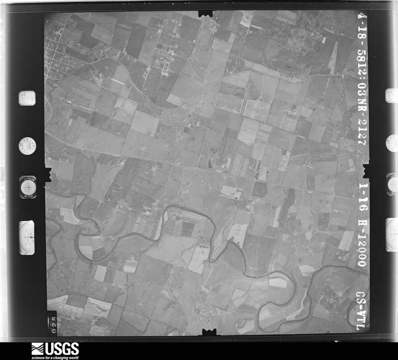
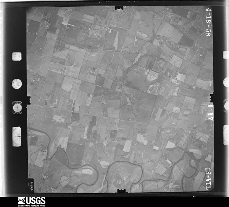
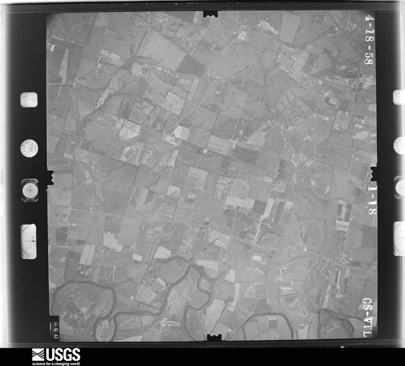
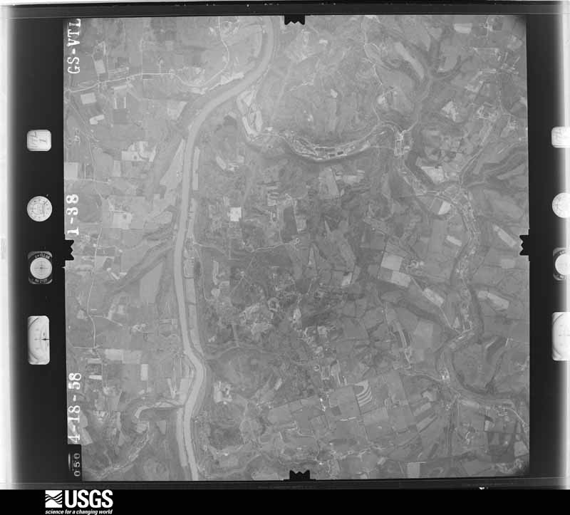
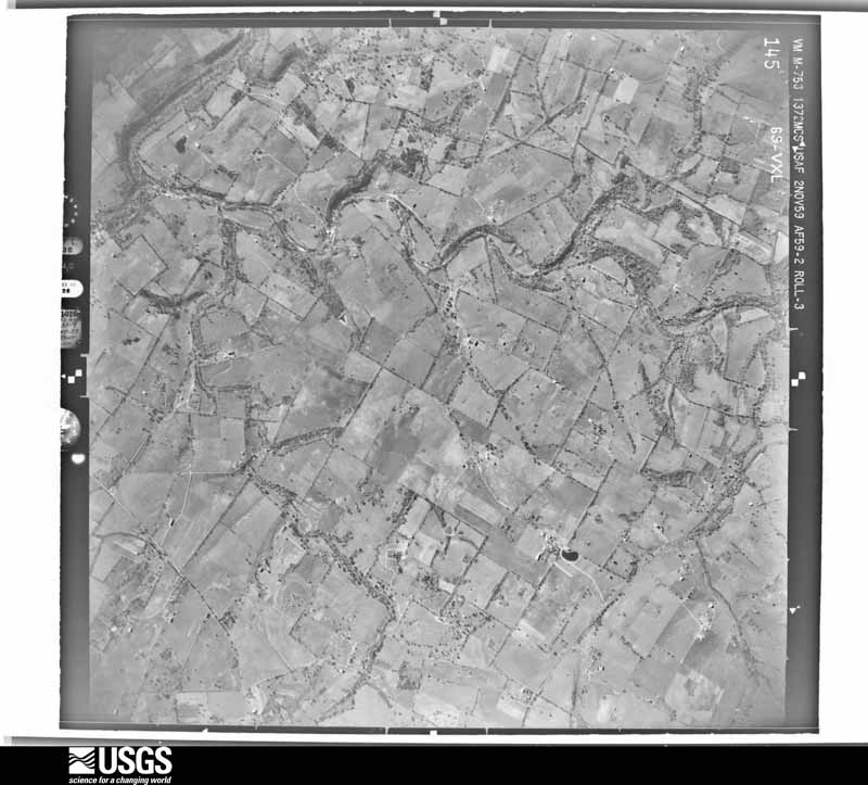
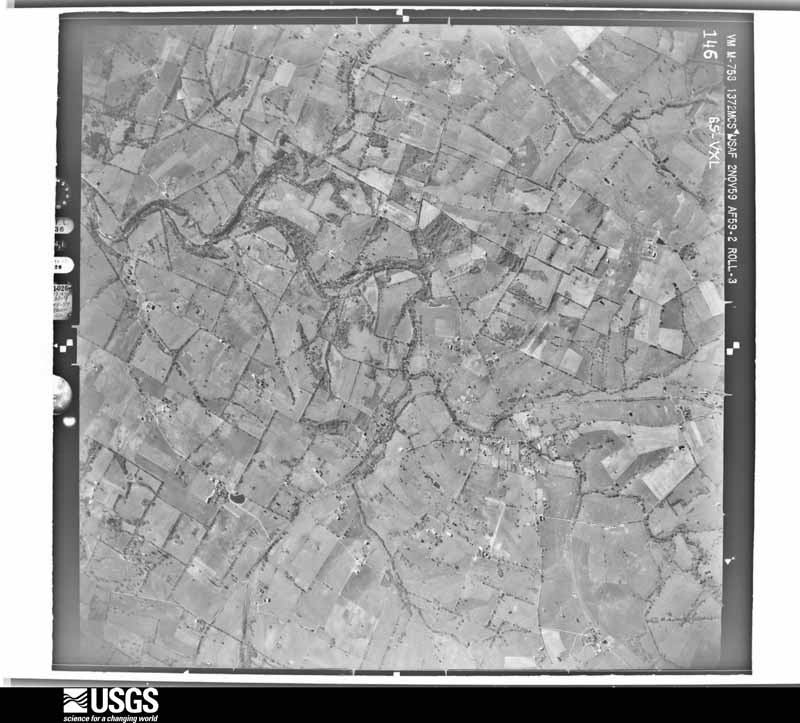
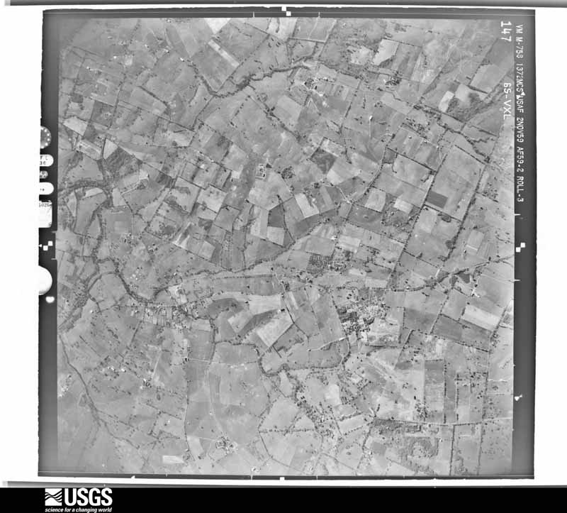
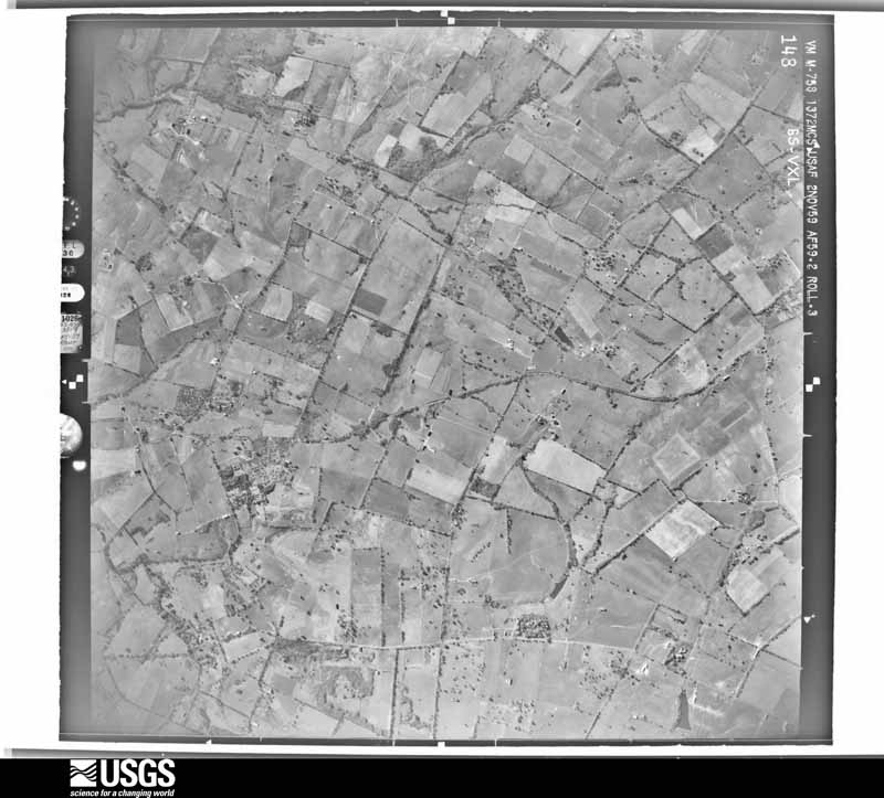
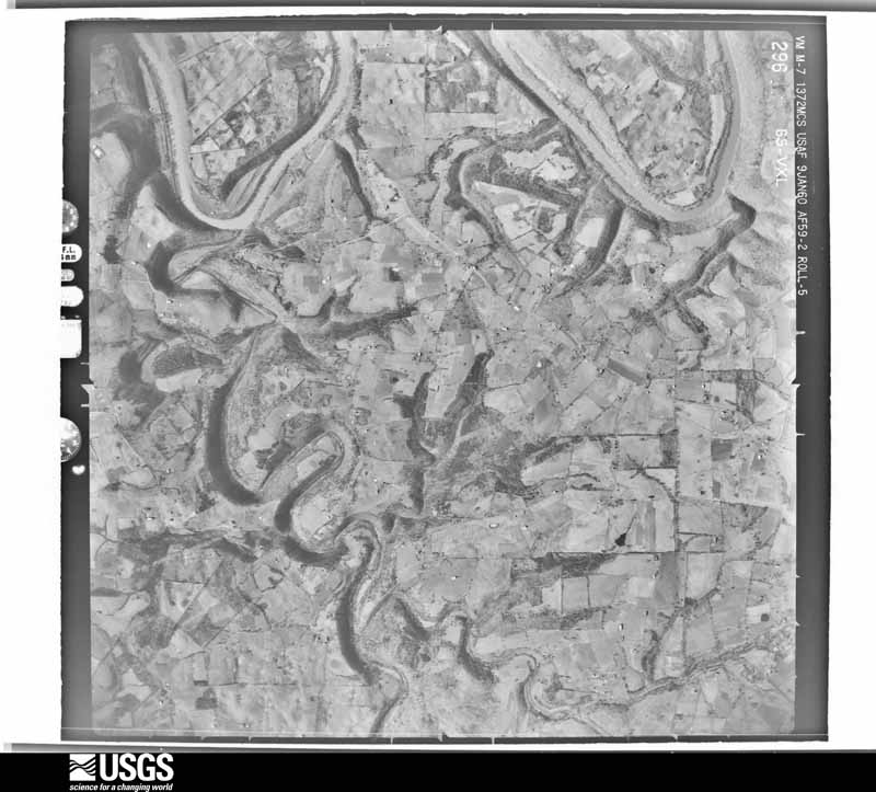
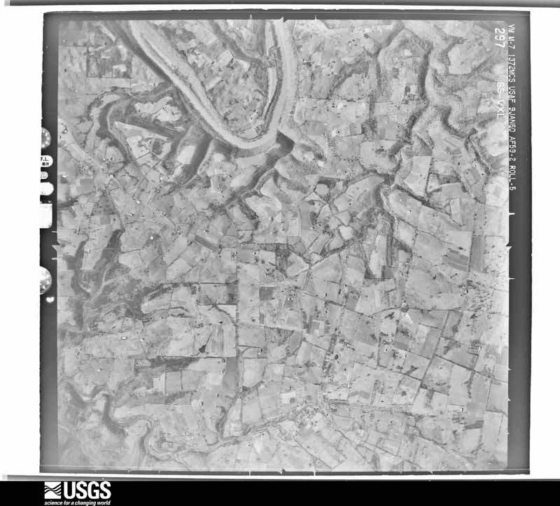
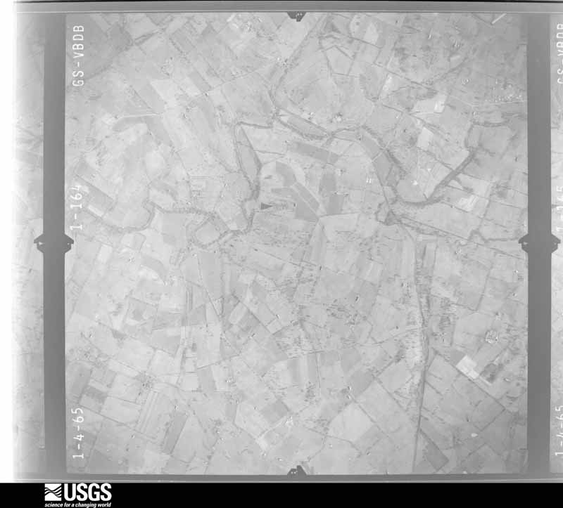
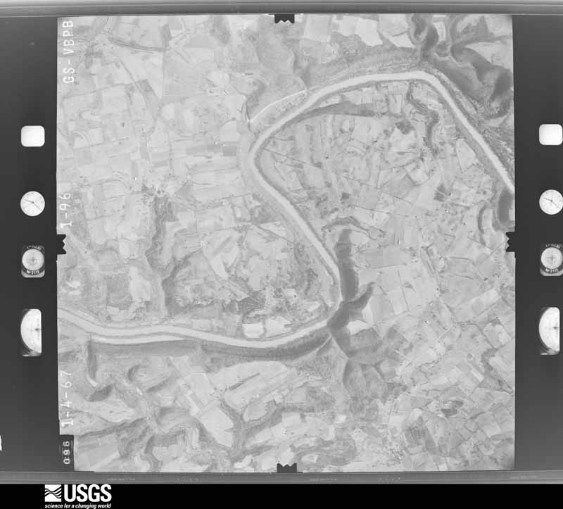
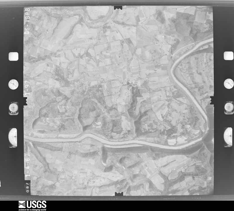
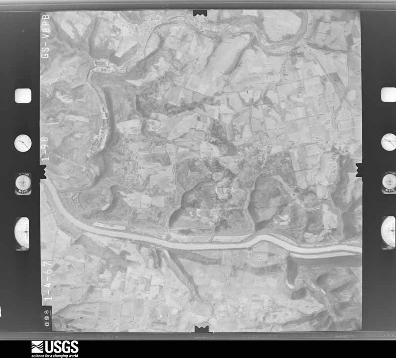
Flown by the U.S. Geological Survey between 1937 and 1989, the Aerial Photo Single Frames collection is the definitive mid-century view of the land: fields, roads and rivers as the camera saw them. The Survey holds 881 frames inside the rectangle that bounds this county; the 40 frames below were taken over the county itself, chosen across the decades of flights (at most four a year from that rectangle), so one flight cannot crowd out the rest. The full set is free to browse and download at EarthExplorer under the dataset Aerial Photo Single Frames.

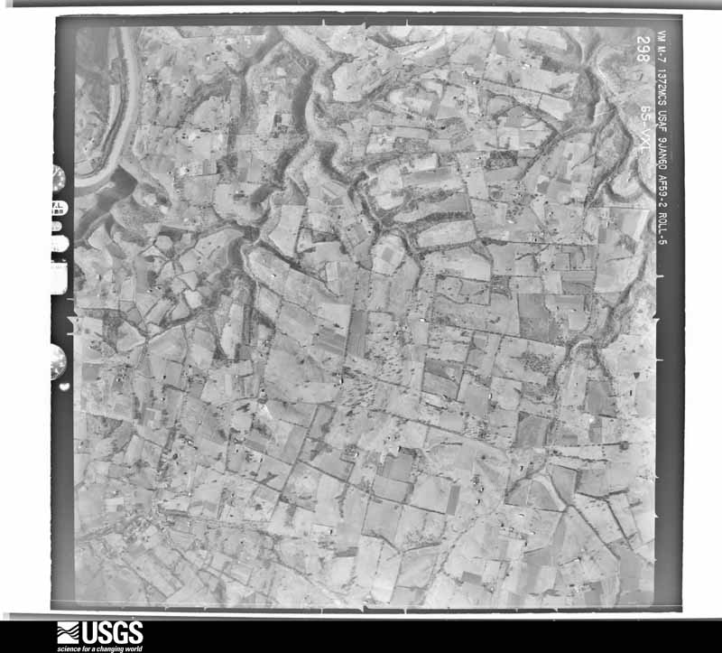
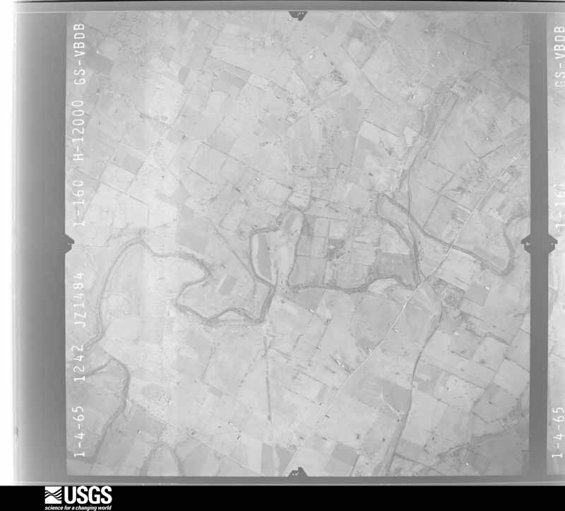
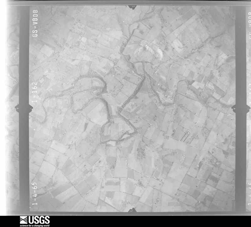
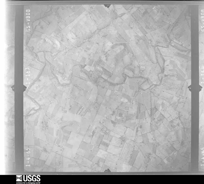



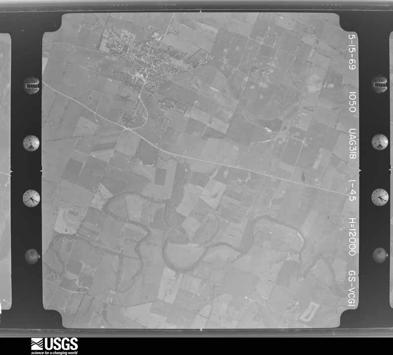

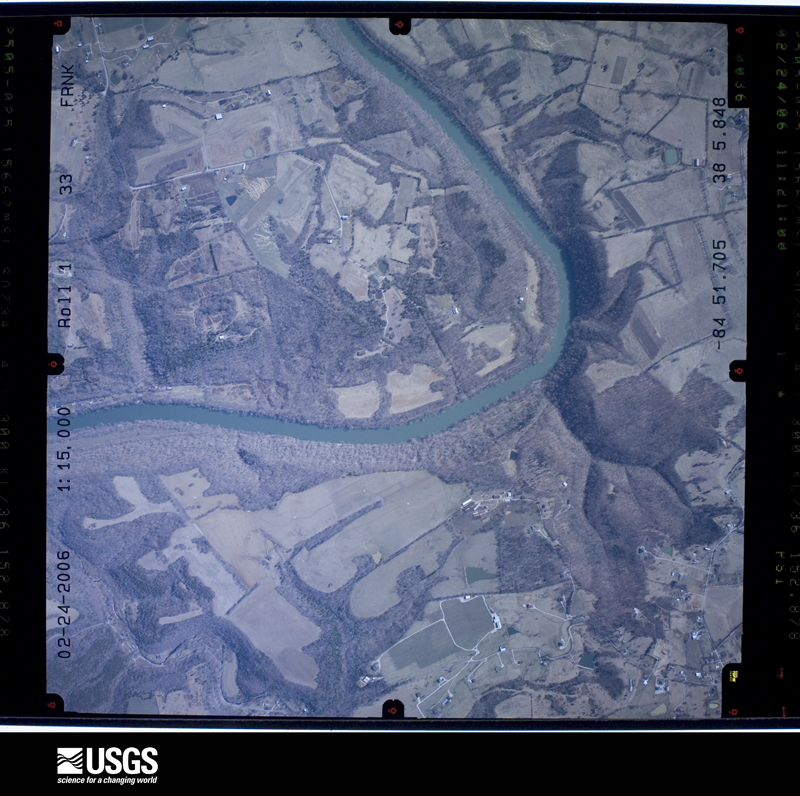

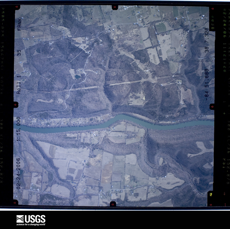
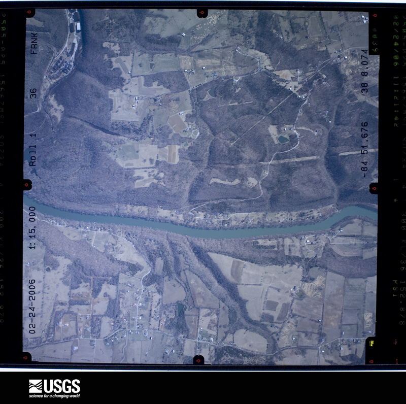
The thermometers that kept this county's weather, and the gages that measured the flow of its streams, as the federal records hold them. The extremes below are measured values from those records, not estimates.
Who lived here in 1950, one enumeration district at a time, as the Census Bureau described each district. Each row opens its official National Archives result, with Population Schedules and ED Maps available there.
Every wildfire the federal occurrence database records inside this county: 1 of them, burning about 3 acres. 1 started naturally and none was recorded as arson. Each settlement page carries the fires within five miles of it.
| Reported cause | Fires |
|---|---|
| Natural | 1 |
The five largest, by the area the report gives. None of them was recorded as arson.
| Date | Cause | Size | Reported by | Name on the report |
|---|---|---|---|---|
| 3 July 2019 | Natural | 3.0 acres | Kentucky Division of Forestry | JIM BEAM |
Every settlement page carries the fires within five miles of it - see the settlement index below.
The NOAA Storm Events Database holds 177 reports for this county, causing no deaths, 3 injuries and about $673,500 in recorded property damage. Each settlement page carries the reports that name it.
| Kind of event | Reports |
|---|---|
| Thunderstorm Wind | 127 |
| Hail | 20 |
| Flash Flood | 15 |
| Tornado | 9 |
| Flood | 3 |
| Heavy Rain | 2 |
| Lightning | 1 |
The most serious of them, by death, then injury, then recorded damage. The accounts are quoted exactly as the forecast office filed them.
| When | Event | Place named | Harm | What the report says |
|---|---|---|---|---|
| April 1963 | Tornado (F2) | not stated | 3 hurt, $25,000 | no account filed |
| July 1980 | Tornado (F1) | not stated | $250,000 | no account filed |
| May 2010 | Flood | Clifton | $100,000 | Six to seven inches of rain fell over Mercer county from May 1-2. This caused major flooding on the Kentucky River that lasted many days before receding. |
| May 1995 | Thunderstorm Wind | Midway | $50,000 | Trees down, many houses damaged with one or two roofs blown off reported by Woodford County police. |
| February 1993 | Thunderstorm Wind | not stated | $50,000 | Strong winds uprooted trees and damaged several barns near Versailles. |
| July 2016 | Thunderstorm Wind | Milner | $45,000 | Trained spotters reported damage to a power pole and line. Trees were also reported down which caused damage to nearby fencing. |
| July 2018 | Thunderstorm Wind | Versailles | $25,000 | A couple of reports came into dispatch that likely were associated with the evening storms. Part of the roof at Ledvance was blown off and water was entering their computer room. |
| April 2017 | Thunderstorm Wind | Versailles | $25,000 | State officials reported trees down on power lines on Wooldridge Lane. |
| July 1987 | Tornado (F0) | not stated | $25,000 | no account filed |
| May 2018 | Thunderstorm Wind | Faywood | $20,000 | A tree was blown down on some power lines that have hit a gas line causing a major gas leak. |
| June 2007 | Lightning | Versailles | $20,000 | A lightning strike caused a house fire. |
| July 2015 | Thunderstorm Wind | Pinckard | $10,000 | A Kentucky state official reported that several large trees and power lines were down in the Pinckard area. |
| July 2013 | Flash Flood | Millville | $5,000 | An elderly couple were evacuated from their home due to rapidly rising water. Several roads were briefly closed in the Millville area. |
| August 2013 | Flash Flood | Versailles | $5,000 | Emergency dispatch reported temporary road closures and other flooding problems in the Merewood Subdivision in Versailles. Georgia Street and Tyrone Pike were flooded. Some homes on Georgia Street were threatened by rising water. |
| May 1993 | Thunderstorm Wind | not stated | $5,000 | Trees were blown down in Versailles and the southern part of the county. |
| August 2002 | Thunderstorm Wind | Versailles | $5,000 | no account filed |
| July 2015 | Thunderstorm Wind | Hunterton | $3,000 | A Kentucky state official reported that numerous trees and power lines were down across eastern Woodford County, east and southeast of Versailles. |
| November 2000 | Tornado (F1) | Versailles | $3,000 | Two transformer poles about 18 inches thick were snapped off about 10 feet off the ground. Several other poles were shifted in the ground. Near that location, a man reported his truck being lifted about six inches off the ground. |
| June 1992 | Tornado (F0) | not stated | $2,500 | no account filed |
| April 2026 | Thunderstorm Wind | Midway | - | Large trees snapped and were uprooted in the Midway cemetery. |
| March 2025 | Thunderstorm Wind | Clifton | - | A barn's roof was damaged off of Rose Lane. |
| February 2024 | Thunderstorm Wind | Millville | - | Several power poles were down on McCracken Pike. |
| April 2024 | Tornado (EF1) | Pinckard | - | The tornado first touched down causing roof damage to two barns just west of Pinckard Pike before the Woodford/Jessamine border. The owner was in the house northeast of those barns and witnessed the roofs peeling off towards the northeast and then saw them change direction, taking a hard right. A tree north of the property fell towards the south and a home on the north side had a window broken by debris travelling north. The southern barn had its southern wall partially thrown to the south and a stone |culvert had a few stones pushed south as well. Across the street from this barn several trees were downed and in a somewhat convergent pattern. A garage door was blown out and the south facing wall got pushed outward. The tornado traveled south southeastward with more tree damage noted along Pinckard Pike before the tornado crossed into Jessamine County. The total path length of the EF1 tornado which began in Woodford County and ended in Jessamine County was 1.82 miles. |
| May 2024 | Thunderstorm Wind | Spring Station | - | The National Weather Service storm damage survey team confirmed|several concentrated areas of straight line wind damage across|Northern Woodford County.||Areas of damage consistent with straight line winds of 75 to 80|mph were observed along Old Frankfort Pike west of Midway Road. Damage consisted of dozens of uprooted and topped trees|which were blown to the northeast and north-northeast. Most of|the tree damage was consistent with 70 to 75 mph winds; however,|there was a 10 foot wide healthy oak with an enormous root ball|that was uprooted, suggesting an increase to 80 mph winds. No|twisting of trees was exhibited.||Drone photography showed numerous corn and hay swirls of concentrated|winds being translated down to the ground. An older barn in a state|of disrepair on Woodlake Road was destroyed, although|3 nearby barns received no damage. Additionally, there was sporadic|straight line wind damage along Leestown Pike between the|Franklin County line and Midway. |
| July 2024 | Thunderstorm Wind | Bonita | - | Several trees were downed by strong winds near Versailles. |
| April 2023 | Thunderstorm Wind | Troy | - | A tree fell across the road at the Kentucky 33 and Kentucky 1267 intersection. |
| June 2023 | Thunderstorm Wind | Versailles | - | There were trees down on Clifton Road and Tyrone Pike. |
| July 2023 | Thunderstorm Wind | Versailles | - | A tree fell down. |
| July 2023 | Thunderstorm Wind | Bonita | - | There were multiple trees down. |
| July 2023 | Thunderstorm Wind | Versailles | - | There were trees down over the road. |
| July 2023 | Thunderstorm Wind | Nugent Xrds | - | There was a tree down on a road. |
| July 2023 | Thunderstorm Wind | Versailles | - | A power pole was blown down along Midway Road. |
| July 2023 | Thunderstorm Wind | Versailles | - | A tree was blown down on Magnolia Circle in Versailles. |
| July 2023 | Thunderstorm Wind | Hunterton | - | Trees were blown down along Huntertown Road in Versailles. |
| August 2023 | Thunderstorm Wind | Nugent Xrds | - | Trees were down on Midway Road. |
| August 2023 | Thunderstorm Wind | Faywood | - | There was a tree down on Pisgah Pike. |
| May 2022 | Thunderstorm Wind | Pinckard | - | Trees were blown down along Delaney Ferry Road in southern Woodford County. |
| August 2022 | Flash Flood | Versailles | - | Multiple roads were closed due to flash flooding in Versailles. |
| July 2022 | Thunderstorm Wind | Bonita | - | Trees were down on the 200 block of East Eagle Drive. |
| June 2022 | Thunderstorm Wind | Millville | - | Trees were down on Hippe-Agee Road. |
| June 2022 | Thunderstorm Wind | Millville | - | Trees were down on Grassy Springs Road, between US 60 and KY 1659. |
| August 2021 | Hail | Versailles | - | The emergency manager relayed a report the pea to quarter size hail fell on Chestnut Lane. A tree also got tangled in power lines on Paige Court. |
| June 2021 | Thunderstorm Wind | Midway | - | A tree was blocking Georgetown Road and Mckinney Avenue. |
| June 2021 | Thunderstorm Wind | Versailles | - | A tree fell on power lines. |
| June 2021 | Thunderstorm Wind | Bonita | - | A tree was blocking Williams Lane and Big Sink Road. |
| June 2021 | Thunderstorm Wind | Versailles | - | A tree fell down at Park Street at Rose Hill Avenue. |
| June 2021 | Thunderstorm Wind | Camp Otonka | - | A tree was down on a power line near Oregon Road and Hifner Road. |
| December 2021 | Thunderstorm Wind | Midway | - | Trees were reported down in Midway. |
| June 2020 | Thunderstorm Wind | Mc Kees Xrds | - | A tree was down and blocking the road near US 60 and Steele Road. |
| June 2019 | Thunderstorm Wind | Hunterton | - | Trees were reported down on Troy Pike. |
| August 2018 | Thunderstorm Wind | Midway | - | Multiple trees were reported down in different areas of Midway. |
| August 2018 | Thunderstorm Wind | Millville | - | There was a tree reported down in Millville. |
| August 2018 | Flash Flood | Mc Kees Xrds | - | Rushing water was reported over the road at McCracken Pike and Grassy Springs Road. Some areas were impassable. |
| July 2018 | Thunderstorm Wind | Versailles | - | Large trees were reported down. |
| July 2018 | Thunderstorm Wind | Nugent Xrds | - | Large trees were reported down along Midway Road. |
| July 2018 | Thunderstorm Wind | Hereford | - | Trees were down near McCracken Pike and Steele Road. |
| April 2017 | Thunderstorm Wind | Faywood | - | State officials reported trees down blocking Weisenberger Mill Road. |
| June 2017 | Thunderstorm Wind | Versailles | - | Local media reported trees down in the area. |
| June 2017 | Flash Flood | Versailles | - | Roads were closed due to high water at Big Sink Pike and McAllens Ferry. |
| April 2016 | Thunderstorm Wind | Nugent Xrds | - | Local law enforcement reported trees down north of Versailles. |
Named settlements recorded in the Geographic Names Information System, each with the topographic sheets covering it. Villages, hamlets and abandoned places alike. Each is shown with the nearest named watercourse or landform and the survey quadrangle it falls on. The 2 places that were also surveyed for fire insurance come first, with the number of atlases and photographs held for them.
Midway census division · 40347 · On Lee Branch · Midway quadrangle
12 sheets, 1906 to 1986
Fire insurance: 8 atlases
Versailles census division · 40383 · Versailles quadrangle
11 sheets, 1906 to 1986
Fire insurance: 8 atlases
Versailles census division · 40383 · On Sinking Creek · Versailles quadrangle
11 sheets, 1906 to 1986
Versailles census division · 40383 · On Rowes Run · Tyrone quadrangle
11 sheets, 1922 to 1986
Versailles census division · 40383 · On Steeles Run · Versailles quadrangle
11 sheets, 1906 to 1986
Versailles census division · 40383 · On Sinking Creek · Versailles quadrangle
11 sheets, 1906 to 1986
Versailles census division · 40383 · Versailles quadrangle
11 sheets, 1906 to 1986
No longer a settlement
Versailles census division · 40383 · Versailles quadrangle
11 sheets, 1906 to 1986
No longer a settlement
Versailles census division · 40601 · On North Fork Glenns Creek · Frankfort East quadrangle
17 sheets, 1922 to 1996
Versailles census division · 40383 · Near Mile Hill · Tyrone quadrangle
11 sheets, 1922 to 1986
South Woodford census division · 40383 · Harrodsburg quadrangle
14 sheets, 1905 to 1991
Midway census division · 40347 · On Coles Branch · Midway quadrangle
12 sheets, 1906 to 1986
No longer a settlement
The vanished settlements of Woodford County: the places named above that are no longer on the map.
12 topographic sheets and 8 fire insurance atlases, 1886 to 1928
11 topographic sheets and 8 fire insurance atlases, 1886 to 1938
The complete index, with nothing left out. Each of these is a separate record with its own page: a federal survey report, or the case file that argued a property on to the National Register. Both are public domain and reproduced word for word.
The vanished settlements of Woodford County, the places these records name that are no longer on the map.