 Block
Rosen, Minnesota
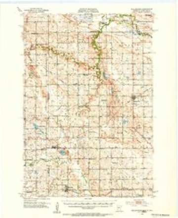
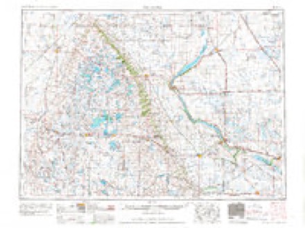
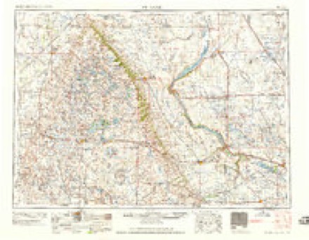
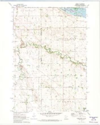
7 topographic sheets cover this place, the earliest surveyed in 1953 and the latest in 1985. It stands in Yellow Bank Township. It lies in ZIP code area 56212. The Survey maps it on the Rosen quadrangle.
Topographic sheets covering this place
5 surveys from 7 printed sheetsMatched by testing this settlement's coordinate against the published boundary of every sheet in the United States Geological Survey's historical collection. Each opens the scanned sheet at the Survey.
- 1953 USGS Bellingham quadrangle1:62500
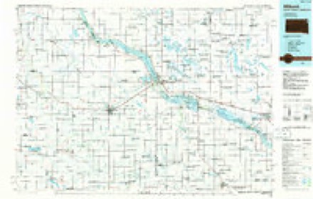
- 1953 USGS Milbank quadrangle1:250000, 3 printings
- 1958 USGS Milbank quadrangle1:250000
- 1971 USGS Rosen quadrangle1:24000
- 1985 USGS Milbank quadrangle1:100000
Fires near this place
5 since 2007Regional context, not property-specific evidence. The federal wildfire occurrence database lists 5 fires within 5 miles of Rosen between 2007 and 2019, burning about 149 acres in total. None started naturally. None was recorded as arson. Distance is straight-line from the map coordinates, so a fire counted here may appear on a neighbouring settlement's page as well.
| Reported cause | Fires |
|---|---|
| Debris and open burning | 4 |
| Missing data/not specified/undetermined | 1 |
The most recent of them, most recent first, with the day each was reported and the service that recorded it.
| Date | Cause | Size | Reported by | Name on the report |
|---|---|---|---|---|
| 15 May 2019 | Debris and open burning | 132 acres | Morris National Wildlife Refuge | MNBNR-FY19-WF-BEYER WF |
| 11 May 2007 | Debris and open burning | 1.4 acres | Big Stone National Wildlife Refuge | MUELLER WILDFIRE |
| 25 April 2012 | Debris and open burning | under an acre | Big Stone National Wildlife Refuge | KERNEL FIRE |
| 22 April 2014 | Debris and open burning | 1.6 acres | Big Stone National Wildlife Refuge | VOLKENANT WILDFIRE |
| 10 April 2010 | Missing data/not specified/undetermined | 14 acres | Big Stone National Wildlife Refuge | STREI |
Mines and quarries near this place
4 within 5 milesRegional context, not property-specific evidence. The federal mineral resources record lists 4 workings within 5 miles of Rosen: 3 past producers, 1 producer. 1 still produces. What was taken out: Sand and Gravel, Construction. Distance is straight-line from the map coordinates, so a quarry counted here may appear on a neighbouring settlement's page as well.
| Where | Site | Commodity | Status | Recorded |
|---|---|---|---|---|
| Big Tom Hill Gravel Pit | Sand and Gravel, Construction | Past Producer | ||
| Gravel Pit | Sand and Gravel, Construction | Past Producer | ||
| Gravel Pit | Sand and Gravel, Construction | Past Producer | ||
| Stoupman Pit and Mill | Sand and Gravel, Construction | Producer |
Storms near this place
11 since 2010Regional context, not property-specific evidence. The National Weather Service names Rosen in 11 storm reports between 2010 and 2025: 4 hail, 3 thunderstorm wind, 2 flood, 1 tornado. No death or injury is recorded in these reports. Each account below is quoted exactly as the forecast office filed it, from the NOAA Storm Events Database, and each date opens the federal record of that event.
| When | Event | Place named | Harm | What the report says |
|---|---|---|---|---|
| March 2019 | Flood | Rosen | $300,000 | Snow melt and a slow thaw led to numerous county and township roads to close; in total, roughly 71 sections of roadway had been closed, accumulating an estimated 81 miles. Many of these sections were washed out and damaged and required repairs. The City of Dawson experienced flooding of their football and baseball fields, as well as a portion of city park and Ash Street.||A driver drove around the barricade blocking County Road 55 about a half-mile north of Hwy. 212 in Garfield Township on Thursday, March 28th. Deputies from the Lac qui Parle County Sheriff's Office retrieved a female driver and her male passenger after their vehicle was swept off a country road and pushed into a farm field. No significant injuries were reported.||Preliminary damage estimates indicated nearly $300,000 was caused by flood waters. |
| April 2023 | Flood | Rosen | $260,000 | A combination of record setting seasonal snowfall, high snow water equivalent values, and rapid snow melt led to low lying areas, ditches, and ravines across the county to flood for a prolonged period of time. Road infrastructure such as bridges, gravel roads, and culverts experience varied degrees of damage caused by rapid runoff. Lac qui Parle County Emergency Management reported $260,000 in damages to roads and bridges. |
| July 2015 | Thunderstorm Wind | Rosen | $50,000 | The local emergency manager reported wind damage, with large trees and tree limbs blown down throughout the county. A machine shed roof was damaged in Louisburg. Corn laid down and was damaged near Rosen. Power lines were blown down in Madison. |
| August 2010 | Tornado (EF0) | Rosen | $25,000 | Local law enforcement officials, spotters and chasers observed a brief tornado touchdown southwest of Bellingham. The tornado ripped off a building's porch roof. |
| May 2012 | Hail | Rosen | $2,000 | no account filed |
| July 2025 | Hail | Rosen | - | Mostly nickel sized hail but a few quarters also reported. |
| June 2017 | Thunderstorm Wind | Rosen | - | There were numerous trees blown down or snapped off near the intersection of 330th and 121st Ave, west of Bellingham. Also, a few trees were blown down in the community of Rosen. |
| May 2015 | Thunderstorm Wind | Rosen | - | A downburst associated with a decaying funnel cloud hit several groves of trees. A trained spotter from the area provided a very detailed map and photos of the damage. The photos clearly showed the tree damage occurred in a divergent pattern. |
| May 2015 | Funnel Cloud | Rosen | - | A storm chaser recorded video of a funnel when it was over Minnesota. |
| May 2012 | Hail | Rosen | - | no account filed |
| May 2012 | Hail | Rosen | - | no account filed |
Nearest settlements
The eight closest, with where each one stands in the county. Distances are straight-line, computed from the Geographic Names Information System coordinates.
| Map | Place | Distance | Sheets |
|---|---|---|---|
| Bellingham | 6.2 miles | 7 | |
| Nassau | 6.4 miles | 8 | |
| Marietta | 10.1 miles | 8 | |
| Haydenville | 11.1 miles | 7 | |
| Louisburg | 12.2 miles | 6 | |
| Madison | 14.7 miles | 6 | |
| Cerro Gordo | 20.8 miles | 6 | |
| Dawson | 23.9 miles | 8 |
Provenance
This settlement is recorded in the Geographic Names Information System as feature 650292. The sheet list is computed by point-in-boundary test against the United States Geological Survey's historical topographic inventory. Both are works of the United States government and carry no copyright under 17 U.S.C. 105.
Wildfire. Short, Karen C. 2022. Spatial wildfire occurrence data for the United States, 1992-2020 [FPA_FOD_20221014]. 6th Edition. Fort Collins, CO: Forest Service Research Data Archive. https://doi.org/10.2737/RDS-2013-0009.6 Collected with United States Government funding and usable without additional permissions or fees.
Mines and quarries. USGS Mineral Resources Data System (MRDS) https://mrdata.usgs.gov/mrds/ A work of the United States government, no copyright under 17 U.S.C. 105.
Storms. NOAA National Centers for Environmental Information, Storm Events Database https://www.ncei.noaa.gov/stormevents/ A work of the United States government, no copyright under 17 U.S.C. 105. Narratives are quoted verbatim from the National Weather Service report and are not edited or summarised.