 Block
Welch, Minnesota
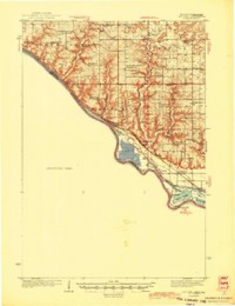
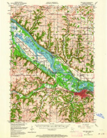
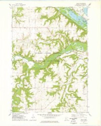
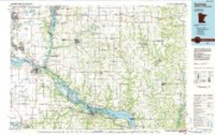
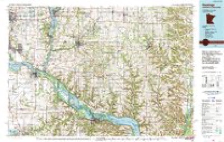
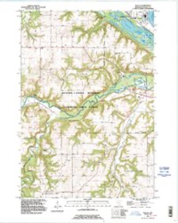
15 topographic sheets cover this place, the earliest surveyed in 1944 and the latest in 1991. It stands in Welch Township. It lies in ZIP code area 55089. The Survey maps it on the Welch quadrangle.
Topographic sheets covering this place
10 surveys from 15 printed sheetsMatched by testing this settlement's coordinate against the published boundary of every sheet in the United States Geological Survey's historical collection. Each opens the scanned sheet at the Survey.
- 1944 USGS Red Wing quadrangle1:62500, 2 printings
- 1952 USGS Red Wing quadrangle1:62500, 3 printings
- 1953 USGS Saint Paul quadrangle1:250000, 3 printings
- 1953 USGS St. Paul quadrangle1:250000
- 1959 USGS Saint Paul quadrangle1:250000
- 1959 USGS St. Paul quadrangle1:250000
- 1974 USGS Welch quadrangle1:24000
- 1985 USGS Hastings quadrangle1:100000
- 1990 USGS Hastings quadrangle1:100000
- 1991 USGS Welch quadrangle1:24000




In the county-history sources
1,726 words on this townshipHistory of Goodhue County, Including a Sketch of the Territory and State of Minnesota; Together with an Account of the Early French Discoveries, Indian Massacres, the Part Borne by Minnesota's Patriots in the War of the Great Rebellion, and a Full and Complete History of the County from the Time of Its Occupancy by Swiss Missionaries in 1838. Pioneer Incidents, Biographical Sketches of Early and Prominent Settlers and Representative Men, and of Its Cities, Towns, Churches, Schools, Secret Societies, Etc, published 1878 names this settlement in its chapter on Welch Township. These are the passages that mention it, exactly as the scans read.
This township, located in the extreme northern part of the county, was among the last to be secured by the early settlers. Although claims were made in 1855-6, they were soon abandoned for the deserted homesteads in the south part of the county. These opportunities were eagerly watched by the temporary pioneers of this township, and not until 1857 and '58 was a permanent settlement made. These changes were so common, that it is impossible to trace out the first claim that was secured. Many of them returned to their native State, while others sought new fields. Among those of the early pioneers of this township and county is William Boothroyd, a native of England, who settled in Red Wing in 1851, where he resided until 1858; settled in this township in 1866, and on his present estate, being the largest landholder in the town. Among those who have been most prominently identified with the interests of the town and county is Hon. N. C. Crandall, the only American resident of the township who settled in Dakota county in 1861. In the fall of 1869 he came to this county and settled on his present estate. Has been justice of the peace three years, and is township clerk at the present time. He represented this district in the last legislature, and has always taken a deep interest in the welfare of the town and county. Among others of the early settlers is E. W. Carver, Michael Henry, John Bloom, Gohcham Esta, D. O. Swanson and others, to whom much credit is due to their interest in the growth and development of the township.
B00THR0YD, WILLIAM, farmer, sec. 10, P. 0. Eggleston. Born in Yorkshire, England, in 1833. Emigrated to this country in 1855, and settled in Red Wing, where he married Mary A. Revers in 1858. She was born in Morgan county, 111., in 1838. After marriage moved to Featherstone township, and purchased eighty acres of land where he settled and resided until 1866, when he came to this township and settled on his present estate, consisting of 410 acres, valued at $16,000. Is director of schools, and is well known throughout the town and county. Carrie J., Charles W., Benjamin B., Albert R. and Frank, and one adopted daughter, Nellie M., are their living children. Lost one child, Grant.
CARLSON, E. JL? farmer, sec. 13, P. 0. Eggleston. Born in Sweden in 1849. Emigrated to this country in 1869, and on his present estate in 1870, consisting of eighty acres, valued at $40 per acre. Same year married Annie Limblaw. She was born in Sweden in 1848. Has been supervisor three years, and fills that office at the present time. Also school treasurer of this district and clerk of the Swede church, of which he and his family are members. Mary, Charles and Gustave, are their living children.
Machine-read from a century-old scan, so expect the errors a machine makes: misspelled names, dropped words, stray characters.
Read the whole chapter on Welch Township - it names this place 5 more 5 times.
Fires near this place
3 since 1994Regional context, not property-specific evidence. The federal wildfire occurrence database lists 3 fires within 5 miles of Welch between 1994 and 2015, burning about 52 acres in total. None started naturally. None was recorded as arson. Distance is straight-line from the map coordinates, so a fire counted here may appear on a neighbouring settlement's page as well.
| Reported cause | Fires |
|---|---|
| Missing data/not specified/undetermined | 2 |
| Debris and open burning | 1 |
The most recent of them, most recent first, with the day each was reported and the service that recorded it.
| Date | Cause | Size | Reported by | Name on the report |
|---|---|---|---|---|
| 23 April 2015 | Missing data/not specified/undetermined | 3.9 acres | Minnesota Department of Natural Resources | not named |
| 22 April 1994 | Debris and open burning | 8.0 acres | Minnesota Department of Natural Resources | not named |
| 23 March 2000 | Missing data/not specified/undetermined | 40 acres | Minnesota Department of Natural Resources | not named |
Settlements close enough to share some of these fires:
Mines and quarries near this place
1 within 5 milesRegional context, not property-specific evidence. The federal mineral resources record lists 1 working within 5 miles of Welch: 1 producer. All of them still produce. What was taken out: Stone, Crushed/Broken. Distance is straight-line from the map coordinates, so a quarry counted here may appear on a neighbouring settlement's page as well.
| Where | Site | Commodity | Status | Recorded |
|---|---|---|---|---|
| Luhman Quarry & Mill | Stone, Crushed/Broken | Producer |
Storms near this place
16 since 1996Regional context, not property-specific evidence. The National Weather Service names Welch in 16 storm reports between 1996 and 2024: 5 thunderstorm wind, 4 tornado, 4 hail, 2 flash flood. No death or injury is recorded in these reports. Each account below is quoted exactly as the forecast office filed it, from the NOAA Storm Events Database, and each date opens the federal record of that event.
| When | Event | Place named | Harm | What the report says |
|---|---|---|---|---|
| September 2018 | Tornado (EF0) | Welch | $5,000 | A NWS storm survey concluded that an EF0 tornado tracked eastward for 2.6 miles across the Mississippi River Valley, to the Wisconsin state line. The tornado tracked only one quarter of a mile north of the Treasure Island Resort and Casino. Damage was confined to uprooted trees and an outbuilding. The tornado continued into Pierce County Wisconsin. |
| May 2024 | Tornado (EF0) | Welch | - | The tornado broke about 12-15 trees in three different groves. Two evergreens were also tipped over. It also carved out a path through some tall grasses. The estimated maximum wind speed was 70 mph. |
| August 2024 | Tornado (EF0) | Welch | - | A tornado developed at the southern edge of Bellwood Oaks Golf Course, in Dakota County. It moved northeast and tracked across a sliver of northern Goodhue County before crossing the Mississippi River into Wisconsin, dissipating about 5 miles southeast of Prescott in Pierce County. |
| August 2022 | Thunderstorm Wind | Welch | - | The Minnesota Department of Transportation wind sensor measured a wind gust of 54 knots. |
| September 2018 | Thunderstorm Wind | Welch | - | A NWS storm survey concluded that downburst winds caused damage to several large trees north of Welch. |
| September 2018 | Thunderstorm Wind | Welch | - | A private weather wind sensor measured a 55 knot wind gust. |
| August 2014 | Flash Flood | Welch | - | The Sunset Trail was underwater at the base on the Miesville Ravine County Park where a local creek meets with the Cannon River. |
| August 2014 | Heavy Rain | Welch | - | A measured rainfall report of 3.10 inches fell east of Welch in the last 24 hours. |
| June 2012 | Flash Flood | Welch | - | Approximately 6 to 8 inches of flowing water occurred over 200th Street near North Lake. |
| August 2002 | Thunderstorm Wind | Welch | - | Twelve inch diameter branches down. |
| August 1999 | Tornado (F0) | Welch | - | Brief touchdown in wooded area. |
| April 2022 | Hail | Welch | - | no account filed |
| August 2007 | Hail | Welch | - | no account filed |
| June 2006 | Hail | Welch | - | no account filed |
| August 2004 | Hail | Welch | - | no account filed |
| May 1996 | Thunderstorm Wind | Welch | - | no account filed |
Nearest settlements
The eight closest, with where each one stands in the county. Distances are straight-line, computed from the Geographic Names Information System coordinates.
| Map | Place | Distance | Sheets |
|---|---|---|---|
| Harliss | 4.5 miles | 15 | |
| Vasa | 4.6 miles | 15 | |
| Eggleston | 5.0 miles | 15 | |
| Stroms | 5.9 miles | 15 | |
| White Rock | 7.9 miles | 11 | |
| Belle Creek | 9.1 miles | 11 | |
| Cannon Falls | 9.8 miles | 11 | |
| Ryan | 10.0 miles | 10 |
Provenance
This settlement is recorded in the Geographic Names Information System as feature 653897. The sheet list is computed by point-in-boundary test against the United States Geological Survey's historical topographic inventory. Both are works of the United States government and carry no copyright under 17 U.S.C. 105.
Wildfire. Short, Karen C. 2022. Spatial wildfire occurrence data for the United States, 1992-2020 [FPA_FOD_20221014]. 6th Edition. Fort Collins, CO: Forest Service Research Data Archive. https://doi.org/10.2737/RDS-2013-0009.6 Collected with United States Government funding and usable without additional permissions or fees.
Mines and quarries. USGS Mineral Resources Data System (MRDS) https://mrdata.usgs.gov/mrds/ A work of the United States government, no copyright under 17 U.S.C. 105.
Storms. NOAA National Centers for Environmental Information, Storm Events Database https://www.ncei.noaa.gov/stormevents/ A work of the United States government, no copyright under 17 U.S.C. 105. Narratives are quoted verbatim from the National Weather Service report and are not edited or summarised.