 Block
Academy, Missouri
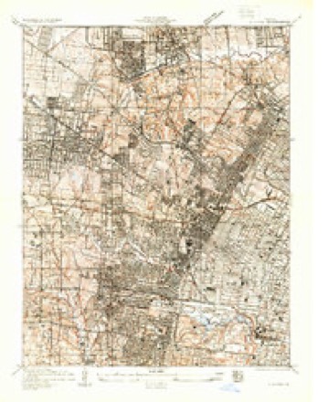
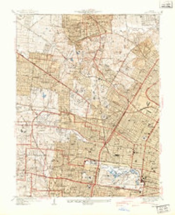
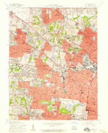
20 topographic sheets cover this place, the earliest surveyed in 1933 and the latest in 1985. It stands in St. Louis City. It lies in ZIP code area 63113. The Survey maps it on the Clayton quadrangle.
Topographic sheets covering this place
9 surveys from 20 printed sheetsMatched by testing this settlement's coordinate against the published boundary of every sheet in the United States Geological Survey's historical collection. Each opens the scanned sheet at the Survey.
- 1933 USGS Clayton quadrangle1:24000
- 1941 USGS Clayton quadrangle1:24000, 2 printings
- 1949 USGS Saint Louis quadrangle1:250000
- 1949 USGS St. Louis quadrangle1:250000
- 1954 USGS Clayton quadrangle1:24000, 6 printings
- 1962 USGS St. Louis quadrangle1:250000
- 1963 USGS St. Louis quadrangle1:250000, 4 printings
- 1966 USGS St. Louis quadrangle1:250000
- 1985 USGS St Louis quadrangle1:100000, 3 printings






In the county-history sources
163,964 words on this townshipJournal of the Missouri State Convention, Held at the City of St. Louis, October, 1861, published 1861 names this settlement in its chapter on St. Louis City. These are the passages that mention it, exactly as the scans read.
Ordinance concerning the repeal of the second section of an act of the General Assembly of the State of Missouri, entitled "An Act to establish a un.form system of publishing notices of judicial sales and other legal notices in St. Louis county, State of Missouri." Considered" 22 concerning the resumption of specie payment by all the banks in the
Passage source: Journal of the Missouri State Convention, Held at the City of St. Louis, October, 1861, published 1861.
but I am satisfied that the proposition to postpone the election from November until August next, is a confession of judgment. I take it as such, and as an acknowledgment that the people of Missouri are opposed to the Convention, and will vote its action down. We have been told again and again, that those opposed to the action of the Convention would prevent a fair expression of the popular will ; but only one man, it seems, has yet been cited as having made this declaration. Suppose one man in Missouri has said the State shall run with blood - one man or two men may say the same thing, but it would be no excuse for the Convention to further postpone its action. If you have the power to postpone until August, 1862, you have the same power to postpone until November, 1892. Is it any excuse why the Convention should withdraw the election from the people of Missouri in November simply because of the fear the people will not acquiesce in its action, or because one man has said that armed resistance shall be made? The proper way to meet the issue is to go before the people themselves. When the proposition was made to appoint a Governor, it was first proposed to hold him in office but thirty days, and then let the people decide upon it. Then again it was proposed to have the election held within the time allowed by the Constitution. But when the great pulse of the people of Missouri has been felt, and when it is ascertained that they are opposed to the action of the Convention three to one, then it is proposed to postpone it until August, 1862 ; and not only that, but it is also proposed that the people shall not pass upon it all. We have the power in our hands to hold office. We are here a bare majority, scarcely enough to do business, and yet we declare that we have the power to say that 200,000 voters in Missouri are not competent to attend to their own business, or pass upon our action. What is the reason there cannot be a fair vote ? There certainly can be a fair vote upon the north side of the river ; and is there a single county in the State where it cannot be done ? Not a single rebel commander, as the term goes, exists in the northern section of this State, that I know of. In the district I represent, I am satisfied a fair election can beheld, and that the people are ready to vote on the issues ; and I presume it can be done all through the State. Are we to say that the people shall not go to the polls after it has been determined that our action shall be submitted to them? Are we to say that they shall not vote because we think they, as freemen, will not do right at the polls? I am willing, so far as I am concerned, to let them pass upon the acts of the Convention, and allow them to dispose of it as they please. The making of a new Governor was no unimportant matter ; and shall we multiply our difficulties still further by postponing the election till August? I say, let the people vote at once.
Passage source: Journal of the Missouri State Convention, Held at the City of St. Louis, October, 1861, published 1861.
Machine-read from a century-old scan, so expect the errors a machine makes: misspelled names, dropped words, stray characters.
Fires near this place
3 since 2006Regional context, not property-specific evidence. The federal wildfire occurrence database lists 3 fires within 5 miles of Academy between 2006 and 2014, burning about 2 acres in total. None started naturally. None was recorded as arson. Distance is straight-line from the map coordinates, so a fire counted here may appear on a neighbouring settlement's page as well.
| Reported cause | Fires |
|---|---|
| Missing data/not specified/undetermined | 3 |
The most recent of them, most recent first, with the day each was reported and the service that recorded it.
| Date | Cause | Size | Reported by | Name on the report |
|---|---|---|---|---|
| 18 April 2014 | Missing data/not specified/undetermined | 1.0 acres | Missouri Department of Conservation | not named |
| 27 February 2006 | Missing data/not specified/undetermined | under an acre | Missouri State Fire Marshal's Office | not named |
| 9 October 2006 | Missing data/not specified/undetermined | 1.0 acres | Missouri State Fire Marshal's Office | not named |
Settlements close enough to share some of these fires:
Mines and quarries near this place
10 of 82 shownRegional context, not property-specific evidence. The federal mineral resources record lists 82 workings within 5 miles of Academy: 78 past producers, 3 producers, 1 prospect. 3 still produce. What was taken out: Stone, Crushed/Broken, Clay, Fire Clay (Refractory), Fire Clay (Refractory), Coal. Distance is straight-line from the map coordinates, so a quarry counted here may appear on a neighbouring settlement's page as well.
| Where | Site | Commodity | Status | Recorded |
|---|---|---|---|---|
| Bambrick-Bates Constr. Co. Quarry 1 | Clay, Stone, Crushed/Broken | Past Producer | ||
| Delore Barite Mill | Barium-Barite | Producer | ||
| Hypothetical Lead Mine | Lead, Silver, Zinc, Cobalt, Copper, Nickel, Cadmium | Prospect | Underground | |
| Krummel and Buchner Mine | Coal, Fire Clay (Refractory) | Past Producer | ||
| St Louis Perlite Plant | Perlite | Producer | ||
| Parker-Russell Fireclay Mine | Fire Clay (Refractory), Coal | Past Producer | ||
| Tole and Thorp Fireclay Mine | Fire Clay (Refractory), Coal | Past Producer | ||
| Coffin Mine | Fire Clay (Refractory) | Past Producer | ||
| Evans and Howard Fireclay Mine No 7 | Fire Clay (Refractory) | Past Producer | ||
| Evans and Howard Fireclay Mine No.6 | Fire Clay (Refractory) | Past Producer |
Nearest settlements
The eight closest, with where each one stands in the county. Distances are straight-line, computed from the Geographic Names Information System coordinates.
| Map | Place | Distance | Sheets |
|---|---|---|---|
| Cabanne Place | 0.1 miles | 20 | |
| Fountain Park | 0.4 miles | 20 | |
| Visitation Park | 0.5 miles | 20 | |
| De Baliviere | 0.7 miles | 20 | |
| Lewis Place | 0.9 miles | 20 | |
| Central West End | 1.0 miles | 20 | |
| Hamilton Heights | 1.0 miles | 20 | |
| Kingsway West | 1.1 miles | 20 |
Provenance
This settlement is recorded in the Geographic Names Information System as feature 2469160. The sheet list is computed by point-in-boundary test against the United States Geological Survey's historical topographic inventory. Both are works of the United States government and carry no copyright under 17 U.S.C. 105.
Wildfire. Short, Karen C. 2022. Spatial wildfire occurrence data for the United States, 1992-2020 [FPA_FOD_20221014]. 6th Edition. Fort Collins, CO: Forest Service Research Data Archive. https://doi.org/10.2737/RDS-2013-0009.6 Collected with United States Government funding and usable without additional permissions or fees.
Mines and quarries. USGS Mineral Resources Data System (MRDS) https://mrdata.usgs.gov/mrds/ A work of the United States government, no copyright under 17 U.S.C. 105.