 Block
Advance, Missouri
17 topographic sheets cover this place, the earliest surveyed in 1934 and the latest in 1987. It stands in Pike Township. It lies in ZIP code area 63730. The Survey maps it on the Advance quadrangle. 1,349 people lived here at the 2020 count. It stands 361 feet above sea level.
Population over time
2 figuresAdvance grew from 1,347 to 1,349 between 2010 and 2020. These are the recorded population figures Wikidata holds for this place, reached through the Geographic Names Information System number this page is keyed on rather than by name, so they belong to this place and not to another of the same name. Most are census counts, but not all are: an early figure may be a founding or settlement estimate, and an estimate published within five years of a census is left out. The change column is computed, and is left blank where more than 20 years separate a figure from the one before it, because a gap that long is not a change between two counts.
| Year | People | Change |
|---|---|---|
| 2010 | 1,347 | |
| 2020 | 1,349 | +2 (+0%) |
Topographic sheets covering this place
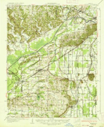
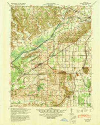
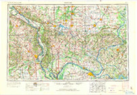
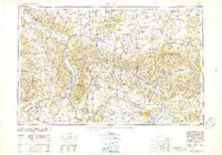
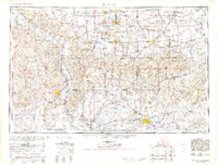
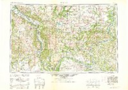
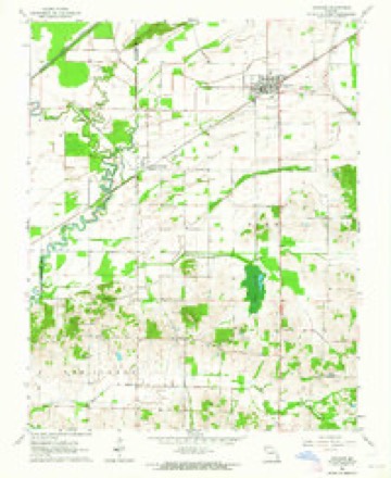
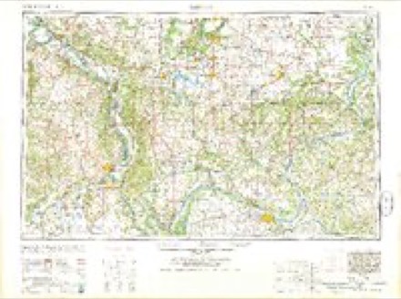
11 surveys from 17 printed sheetsMatched by testing this settlement's coordinate against the published boundary of every sheet in the United States Geological Survey's historical collection. Each opens the scanned sheet at the Survey.
- 1934 USGS Advance quadrangle1:62500, 3 printings
- 1939 USGS Advance quadrangle1:62500
- 1949 USGS Paducah quadrangle1:250000, 2 printings
- 1950 USGS Paducah quadrangle1:250000
- 1954 USGS Paducah quadrangle1:250000, 2 printings
- 1961 USGS Paducah quadrangle1:250000, 2 printings
- 1963 USGS Advance quadrangle1:24000
- 1964 USGS Paducah quadrangle1:250000, 2 printings
- 1984 USGS Cape Girardeau quadrangle1:100000
- 1986 USGS Cape Girardeau quadrangle1:100000
- 1987 USGS Paducah quadrangle1:250000
Mines and quarries near this place
6 within 5 milesRegional context, not property-specific evidence. The federal mineral resources record lists 6 workings within 5 miles of Advance: 6 past producers. None of them still produces. What was taken out: Sand and Gravel, Construction. Distance is straight-line from the map coordinates, so a quarry counted here may appear on a neighbouring settlement's page as well.
| Where | Site | Commodity | Status | Recorded |
|---|---|---|---|---|
| Unk | Sand and Gravel, Construction | Past Producer | ||
| Unk | Sand and Gravel, Construction | Past Producer | ||
| Unk | Sand and Gravel, Construction | Past Producer | ||
| Unk | Sand and Gravel, Construction | Past Producer | ||
| Unk | Sand and Gravel, Construction | Past Producer | ||
| Unk | Sand and Gravel, Construction | Past Producer |
Storms near this place
46 since 1994Regional context, not property-specific evidence. The National Weather Service names Advance in 46 storm reports between 1994 and 2025: 22 thunderstorm wind, 17 hail, 4 flash flood, 2 funnel cloud. The reports record 3 injuries. Each account below is quoted exactly as the forecast office filed it, from the NOAA Storm Events Database, and each date opens the federal record of that event.
| When | Event | Place named | Harm | What the report says |
|---|---|---|---|---|
| June 2022 | Thunderstorm Wind | Advance | 2 hurt, $30,000 | Significant wind damage was reported across a good part of northern Stoddard County, including the Advance and Bell City areas. The most significant damage was on Highway 51 right near the Bollinger County line, where several large trees were broken and a half-ton truck and camper were flipped over. Only minor injuries were reported. Elsewhere, a few trees and some large branches were down. A large branch fell on a house a half-mile north of Bell City. |
| June 2006 | Thunderstorm Wind | Advance | 1 hurt, $71,000 | A thunderstorm downburst containing winds estimated near 65 MPH moved northeast across the community of Advance. The damage path was about 3/4 mile long and 440 yards wide. Numerous large tree limbs and a couple of trees were downed, resulting in damage to power lines. Metal facades were damaged or blown off several buildings. A couple of businesses suffered damage to their roofs. An empty semi-trailer, a storage shed, and a wooden fence were blown over. A framed sign and the glass doors of a supermarket were blown out. Some vehicles were damaged by flying debris. A woman was slightly injured when some roof awning panels blew off and wrapped around her vehicle. |
| March 2018 | Thunderstorm Wind | Advance | $75,000 | A shed was damaged, a metal barn was leveled, and power lines were down on Highway 25. Debris was scattered approximately 300 yards. A pivot irrigation system was blown over. |
| August 2023 | Flash Flood | Advance | $60,000 | Streets were flooded, and there were homes with flooded basements in Advance. A personal weather station in Advance measured 5.86 inches from midnight to late afternoon on the 3rd. |
| August 2009 | Thunderstorm Wind | Advance | $50,000 | A tractor-trailer rig loaded with freight was blown over. A 16-inch diameter tree was blown down on a mobile home. An 8-inch diameter tree was blown down on a pickup truck. Numerous tree limbs were blown down, along with small trees. Shingles were blown off roofs. |
| April 2010 | Thunderstorm Wind | Advance | $20,000 | A 150-year-old wood barn was destroyed. Some debris from the tin roof was blown a considerable distance. The barn was constructed of hand-hewn cypress logs up to 42 feet long. |
| August 2004 | Thunderstorm Wind | Advance | $20,000 | A 75-by-45 foot barn located at a residence on Highway 25 was destroyed. A bass boat inside the barn was destroyed. Debris was blown over a one-acre area, and one of the barn doors was blown across Highway 25. |
| June 1997 | Thunderstorm Wind | Advance | $20,000 | The roof was torn off a building. |
| June 1997 | Hail | Advance | $20,000 | no account filed |
| July 2015 | Thunderstorm Wind | Advance | $15,000 | Multiple trees were blown down, and a camper was flipped. |
| July 2018 | Thunderstorm Wind | Advance | $10,000 | A microburst damaged a trucking business and brought down several tree limbs and a whole tree. A door and some windows of the trucking business were damaged. Power outages were reported. |
| May 2014 | Thunderstorm Wind | Advance | $10,000 | The tin roof was blown off an agricultural building near the intersection of Highways P and 91. A large tree was down on Highway 25 near Advance. |
| April 2006 | Hail | Advance | $10,000 | Windshields were broken. |
| March 2024 | Thunderstorm Wind | Advance | $5,000 | Trees were reported downed around Advance with power outages occurring in Advance. |
| April 2002 | Hail | Advance | $4,000 | An insurance company reported at least a couple of vehicles received hail damage. |
| June 1998 | Thunderstorm Wind | Advance | $4,000 | Large tree limbs and a large tree were blown down in northern Stoddard County. |
| July 2022 | Thunderstorm Wind | Advance | $3,000 | A tree and power lines were down on County Road 307. |
| May 2024 | Thunderstorm Wind | Advance | $1,000 | An enhanced area of wind in a broader storm line in Southeast Missouri produced wind gusts of 50-60 mph with pea size hail in Advance. |
| March 2022 | Thunderstorm Wind | Advance | $500 | A 6-inch tree limb was down on a street. |
| June 1994 | Thunderstorm Wind | Advance | $500 | Numerous large trees were blown down or uprooted across northern parts of the county. |
| May 2025 | Hail | Advance | - | Hail up to golf ball size was estimated in Advance as a supercell storm progressed eastward through northern Stoddard County. |
| May 2023 | Thunderstorm Wind | Advance | - | A personal weather station recorded a wind gust to 72 mph. |
| March 2020 | Flash Flood | Advance | - | The intersection of Missouri Highway 25 and O Highway was partially covered with water. |
| May 2020 | Flash Flood | Advance | - | Cropland or yard flooding was reported, along with creek flooding. |
| April 2011 | Flash Flood | Advance | - | A small levee was breached on the Castor River in the Circle City area. Flooding affected a large stretch of the Castor River in Stoddard County. Four homes were evacuated in the Swinton and Brownwood area. Sandbagging efforts were conducted west of Advance. The resident who reported the levee breach heard water rushing by her house. Roads into that area were flooded, making it difficult for rescue workers to reach the area. Some residents evacuated voluntarily. Homes and businesses near Highway C were threatened. |
| April 2002 | Thunderstorm Wind | Advance | - | Two trees were blown down. Hail covered the ground. The size of the hailstones was not known. |
| April 2002 | Funnel Cloud | Advance | - | Trained spotters tracked a funnel cloud across northern parts of Stoddard County. The funnel cloud was associated with the supercell thunderstorm that produced tennis ball size hail in Bollinger County near Marble Hill. |
| April 2000 | Funnel Cloud | Advance | - | A funnel cloud, which was observed by sheriff deputies and trained spotters, persisted for about 15 minutes. The funnel tracked southeast from Advance to the Tillman area, several miles southeast of Advance. |
| April 2000 | Hail | Advance | - | Golf ball size hail occurred. |
| June 1998 | Thunderstorm Wind | Advance | - | A cooperative observer reported several trees down between Advance and Painton. |
| July 1997 | Thunderstorm Wind | Advance | - | Trees were blown down. |
| July 1997 | Thunderstorm Wind | Advance | - | Tree limbs were blown down. |
| April 2020 | Hail | Advance | - | no account filed |
| February 2007 | Hail | Advance | - | no account filed |
| April 2006 | Hail | Advance | - | no account filed |
| April 2006 | Hail | Advance | - | no account filed |
| May 2006 | Hail | Advance | - | no account filed |
| May 2006 | Hail | Advance | - | no account filed |
| October 2006 | Heavy Rain | Advance | - | no account filed |
| March 2005 | Hail | Advance | - | no account filed |
| May 2003 | Hail | Advance | - | no account filed |
| May 2003 | Thunderstorm Wind | Advance | - | no account filed |
| January 2002 | Hail | Advance | - | no account filed |
| April 2000 | Hail | Advance | - | no account filed |
| April 1999 | Hail | Advance | - | no account filed |
| July 1997 | Hail | Advance | - | no account filed |
Nearest settlements
The eight closest, with where each one stands in the county. Distances are straight-line, computed from the Geographic Names Information System coordinates.
Elsewhere
Matched on this settlement's Geographic Names Information System number rather than its name, so it cannot be a different place of the same name in another state.
| Wikipedia article on Advance | An encyclopaedic summary. Its text is share-alike, so it is linked here rather than copied. |
| Wikidata item Q379156 | The structured record the population and elevation above come from. Public domain (CC0). |
Provenance
This settlement is recorded in the Geographic Names Information System as feature 713163. The sheet list is computed by point-in-boundary test against the United States Geological Survey's historical topographic inventory. Both are works of the United States government and carry no copyright under 17 U.S.C. 105.
Mines and quarries. USGS Mineral Resources Data System (MRDS) https://mrdata.usgs.gov/mrds/ A work of the United States government, no copyright under 17 U.S.C. 105.
Storms. NOAA National Centers for Environmental Information, Storm Events Database https://www.ncei.noaa.gov/stormevents/ A work of the United States government, no copyright under 17 U.S.C. 105. Narratives are quoted verbatim from the National Weather Service report and are not edited or summarised.