 Block
Avalon, Missouri
15 topographic sheets cover this place, the earliest surveyed in 1924 and the latest in 1984. It stands in Fairview Township. It lies in ZIP code area 64643. The Survey maps it on the Avalon quadrangle. 83 people lived here at the 2020 count. It stands 833 feet above sea level.
Topographic sheets covering this place
8 surveys from 15 printed sheetsMatched by testing this settlement's coordinate against the published boundary of every sheet in the United States Geological Survey's historical collection. Each opens the scanned sheet at the Survey.
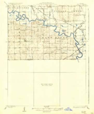
- 1924 USGS Hale quadrangle1:62500, 4 printings
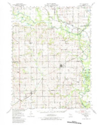
- 1951 USGS Hale quadrangle1:62500, 3 printings
- 1953 USGS Moberly quadrangle1:250000
- 1954 USGS Moberly quadrangle1:250000, 3 printings
- 1957 USGS Moberly quadrangle1:250000
- 1960 USGS Moberly quadrangle1:250000
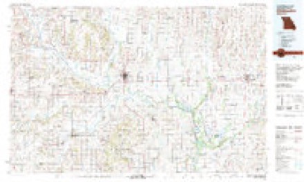
- 1981 USGS Chillicothe quadrangle1:100000
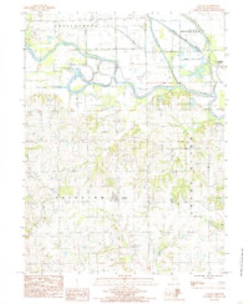
- 1984 USGS Avalon quadrangle1:24000




In the county-history sources
814 words on this townshipPast and Present of Livingston County, Missouri : a Record of Settlement, Organization, Progress and Achievement, published 1913 names this settlement in its chapter on Fairview Township. These are the passages that mention it, exactly as the scans read.
Fairview township comprises that portion of range 23, south of Grand river and includes all of township 56 and part of the south half of 57. The Carroll county line is the southern boundary of the township. Grand river the eastern and the eastern line of Mound township the western boundary. No finer agricultural lands are to be found in Missouri, being adapted to diversified crops and being a great grass producing section, thousands of head of pure blooded stock are raised and shipped from this township. The first entries of land by the pioneers prior to 1840 were made by Robert H. Jordan, J. M. Johns, A. J. Welsh, James W. Cole, Nathan Parsons, William Hereford, William Campbell and others. This township was mostly settled by people from the eastern states, Pennsylvania, especially being well represented. The township and the town of Avalon, a sprightly little village and populated with a most intelligent class, are without railroad or other transportation facilities except by wagon road to Chillicothe, a distance of fifteen miles, Bedford on the Wabash Railroad and Hale in Carroll county, on a branch of the Burlington. A daily mail, however, reaches them from Chillicothe. Not until March 4, 1867, was the township or- ganized when on a petition signed by W. T. Fritch, and J. L. Burnsides, the prayer of the petitioners was granted. David Carpenter platted the town of Avalon, November 12, 1869. The Avalon College was founded the same year and for many years was a popular institution of learning, but not until 1873 were the doors of the college opened for the reception of students. Rev. M. H. Ambrose, A. M., and Miss Lizzie Hanby, IVI. S., Alumni of Otterbein University of Westerville, Ohio, were the first teachers. In 1877, ^^^- N. Albert, A. M., of Western College, Iowa; then in 1878, Rev. C. J. Kephart, A. M., of the same college was chosen principal. The cost of the college building and grounds, library, etc., exceeded $20,000. The character of the college was emphatically Christian. For a time the college flourished, but gradually the interest was divided and today the structure is closed as a school, being occupied as a place of worship by the Presbyterian denomination of the town.
Passage source: Past and Present of Livingston County, Missouri : a Record of Settlement, Organization, Progress and Achievement, published 1913.
The Presbyterian church of Avalon was organized April 8, 1869, t>y a committee appointed by the Presbytery consisting of Rev. J. D. Beard and Abram Brown of Dawn. The following persons were the charter members of the church : David Linton, Jennie Linton, W. S. Gray, Samuel A. Gray, Margaret Gray, David Shields, Mary Shields, Simeon Myers, Mary Myers, Mary A. FuUerton, Agnes Altman, Mary Fullerton, Jane Fullerton, Nannie B. Shields, Margaret Manso and Henrietta Manso. W. S. Grav, David Shields and Simeon Mvers were elected ruling elders and Rev. J. D. Beard became the first pastor. Rev. Beard was a pioneer minister of the Gospel in this part of the county and a man of rugged type, whose name is still a household word in Fairview township. He served the church for a period of twelve years. He was succeeded in the pastorate by Rev. James Reed in 1882 who had charge of the church for three years. He was followed by Rev. Hawkes who served as pastor for two years. Rev. W. C. M. Cune was the next pastor who remained with the church four years.
Passage source: Past and Present of Livingston County, Missouri : a Record of Settlement, Organization, Progress and Achievement, published 1913.
A neat village church house was erected in 1875 in the center of the town, the dedicatory sermon being preached by Rev. John A. Pinkerton of Chillicothe. At this time when in a farming community hogs were selling for two cents per pound and corn for twenty cents a bushel, it meant some degree of struggle and sacrifice to complete and dedicate a church building free from debt. Dr. T. G. Blakely who came to Avalon in 1874, secured the necessary subscriptions, some of which were in cash, and some in labor. The contractor was Thomas France. In 1890 this building was sold to the Methodist church, and the property known as the "College Building" purchased for $3,000. Since that time this building has been the church home for the congregation.
Passage source: Past and Present of Livingston County, Missouri : a Record of Settlement, Organization, Progress and Achievement, published 1913.
Machine-read from a century-old scan, so expect the errors a machine makes: misspelled names, dropped words, stray characters.
Fires near this place
8 since 2001Regional context, not property-specific evidence. The federal wildfire occurrence database lists 8 fires within 5 miles of Avalon between 2001 and 2020, burning about 202 acres in total. None started naturally. None was recorded as arson. Distance is straight-line from the map coordinates, so a fire counted here may appear on a neighbouring settlement's page as well.
| Reported cause | Fires |
|---|---|
| Debris and open burning | 6 |
| Missing data/not specified/undetermined | 2 |
The most recent of them, most recent first, with the day each was reported and the service that recorded it.
| Date | Cause | Size | Reported by | Name on the report |
|---|---|---|---|---|
| 13 July 2020 | Missing data/not specified/undetermined | 9.1 acres | Missouri Department of Conservation | 220563-05996-07132020-1530 |
| 4 June 2018 | Debris and open burning | under an acre | Missouri Department of Conservation | 177161-05996-06042018-1519 |
| 21 April 2018 | Debris and open burning | 5.4 acres | Missouri Department of Conservation | 176692-05996-04212018-1009 |
| 23 March 2002 | Debris and open burning | 175 acres | Missouri Department of Conservation | not named |
| 22 March 2002 | Debris and open burning | 3.0 acres | Missouri Department of Conservation | not named |
| 6 December 2001 | Missing data/not specified/undetermined | 2.0 acres | Missouri Department of Conservation | not named |
| 21 January 2002 | Debris and open burning | 4.0 acres | Missouri Department of Conservation | not named |
| 16 January 2002 | Debris and open burning | 3.0 acres | Missouri Department of Conservation | not named |
Settlements close enough to share some of these fires:
Mines and quarries near this place
10 of 28 shownRegional context, not property-specific evidence. The federal mineral resources record lists 28 workings within 5 miles of Avalon: 28 past producers. None of them still produces. What was taken out: Stone, Crushed/Broken, Sand and Gravel, Construction. Distance is straight-line from the map coordinates, so a quarry counted here may appear on a neighbouring settlement's page as well.
| Where | Site | Commodity | Status | Recorded |
|---|---|---|---|---|
| Unknown | Sand and Gravel, Construction | Past Producer | ||
| Unknown | Sand and Gravel, Construction | Past Producer | ||
| Unknown | Sand and Gravel, Construction | Past Producer | ||
| Unknown | Sand and Gravel, Construction | Past Producer | ||
| Hurrican Quarry | Stone, Crushed/Broken | Past Producer | ||
| Unknown | Stone, Crushed/Broken | Past Producer | ||
| Unknown | Stone, Crushed/Broken | Past Producer | ||
| Unknown | Stone, Crushed/Broken | Past Producer | ||
| Unknown | Stone, Crushed/Broken | Past Producer | ||
| Unknown | Stone, Crushed/Broken | Past Producer |
Storms near this place
3 since 2001Regional context, not property-specific evidence. The National Weather Service names Avalon in 3 storm reports between 2001 and 2021: 2 hail, 1 thunderstorm wind. No death or injury is recorded in these reports. Each account below is quoted exactly as the forecast office filed it, from the NOAA Storm Events Database, and each date opens the federal record of that event.
| When | Event | Place named | Harm | What the report says |
|---|---|---|---|---|
| May 2001 | Thunderstorm Wind | Avalon | - | Thunderstorm winds knocked several large tree limbs. |
| August 2021 | Hail | Avalon | - | no account filed |
| May 2018 | Hail | Avalon | - | no account filed |
Nearest settlements
The eight closest, with where each one stands in the county. Distances are straight-line, computed from the Geographic Names Information System coordinates.
| Map | Place | Distance | Sheets |
|---|---|---|---|
| Cavendish | 3.3 miles | 15 | |
| Corner Campbell School | 3.9 miles | 15 | |
| Bedford | 4.4 miles | 15 | |
| Blue Mound | 6.5 miles | 13 | |
| Norville | 6.8 miles | 14 | |
| Cleary | 7.5 miles | 13 | |
| Cream Ridge | 8.8 miles | 14 | |
| Wheeling | 9.3 miles | 14 |
Elsewhere
Matched on this settlement's Geographic Names Information System number rather than its name, so it cannot be a different place of the same name in another state.
| Wikipedia article on Avalon | An encyclopaedic summary. Its text is share-alike, so it is linked here rather than copied. |
| Wikidata item Q3471787 | The structured record the population and elevation above come from. Public domain (CC0). |
Provenance
This settlement is recorded in the Geographic Names Information System as feature 713498. The sheet list is computed by point-in-boundary test against the United States Geological Survey's historical topographic inventory. Both are works of the United States government and carry no copyright under 17 U.S.C. 105.
Wildfire. Short, Karen C. 2022. Spatial wildfire occurrence data for the United States, 1992-2020 [FPA_FOD_20221014]. 6th Edition. Fort Collins, CO: Forest Service Research Data Archive. https://doi.org/10.2737/RDS-2013-0009.6 Collected with United States Government funding and usable without additional permissions or fees.
Mines and quarries. USGS Mineral Resources Data System (MRDS) https://mrdata.usgs.gov/mrds/ A work of the United States government, no copyright under 17 U.S.C. 105.
Storms. NOAA National Centers for Environmental Information, Storm Events Database https://www.ncei.noaa.gov/stormevents/ A work of the United States government, no copyright under 17 U.S.C. 105. Narratives are quoted verbatim from the National Weather Service report and are not edited or summarised.