 Block
Bennett, Missouri
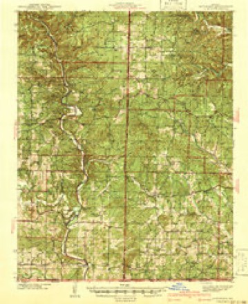
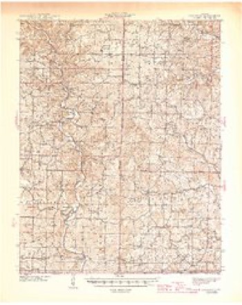
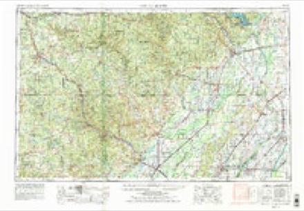
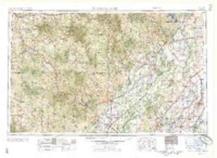
14 topographic sheets cover this place, the earliest surveyed in 1941 and the latest in 1997. It stands in Kelley Township. It lies in ZIP code area 63935. It lies near Mill Hollow. The Survey maps it on the Bardley quadrangle.
Topographic sheets covering this place
8 surveys from 14 printed sheetsMatched by testing this settlement's coordinate against the published boundary of every sheet in the United States Geological Survey's historical collection. Each opens the scanned sheet at the Survey.
- 1941 USGS Gatewood quadrangle1:62500
- 1945 USGS Gatewood quadrangle1:62500, 3 printings
- 1957 USGS Poplar Bluff quadrangle1:250000, 3 printings
- 1959 USGS Poplar Bluff quadrangle1:250000
- 1960 USGS Poplar Bluff quadrangle1:250000
- 1965 USGS Bardley quadrangle1:24000, 2 printings
- 1984 USGS West Plains quadrangle1:100000, 2 printings
- 1997 USGS Bardley quadrangle1:24000
Fires near this place
76 since 1992Regional context, not property-specific evidence. The federal wildfire occurrence database lists 76 fires within 5 miles of Bennett between 1992 and 2020, burning about 3,667 acres in total. 1 started naturally. 60 were recorded as arson. Distance is straight-line from the map coordinates, so a fire counted here may appear on a neighbouring settlement's page as well.
| Reported cause | Fires |
|---|---|
| Arson/incendiarism | 60 |
| Recreation and ceremony | 4 |
| Debris and open burning | 4 |
| Missing data/not specified/undetermined | 3 |
| Equipment and vehicle use | 2 |
| Natural | 1 |
| Smoking | 1 |
| Misuse of fire by a minor | 1 |
The most recent of them, most recent first, with the day each was reported and the service that recorded it.
| Date | Cause | Size | Reported by | Name on the report |
|---|---|---|---|---|
| 4 August 2007 | Arson/incendiarism | 7.0 acres | Mark Twain National Forest | BUFFALO |
| 16 August 2010 | Natural | under an acre | Mark Twain National Forest | RIPLEY SNAG FIRE |
| 7 April 1995 | Arson/incendiarism | 4.0 acres | Mark Twain National Forest | RED MAPLE |
| 6 April 1995 | Arson/incendiarism | 5.0 acres | Mark Twain National Forest | BLUE HALE |
| 5 April 2009 | Arson/incendiarism | 10 acres | Mark Twain National Forest | CAMP ROY |
| 4 April 2015 | Arson/incendiarism | 18 acres | Mark Twain National Forest | BUFFALO |
| 24 April 1993 | Smoking | 5.0 acres | Mark Twain National Forest | not named |
| 2 April 2007 | Arson/incendiarism | 292 acres | Mark Twain National Forest | CONWAY TWIN |
Settlements close enough to share some of these fires:
Storms near this place
10 since 2005Regional context, not property-specific evidence. The National Weather Service names Bennett in 10 storm reports between 2005 and 2020: 4 flood, 3 hail, 2 thunderstorm wind, 1 flash flood. No death or injury is recorded in these reports. Each account below is quoted exactly as the forecast office filed it, from the NOAA Storm Events Database, and each date opens the federal record of that event.
| When | Event | Place named | Harm | What the report says |
|---|---|---|---|---|
| May 2017 | Flood | Bennett | $4,700,000 | The Current River rose over six feet above the record flood level, set in 1904. Catastrophic flood damage occurred in Doniphan and surrounding riverbank areas. At the Doniphan river gage, the river crested at 33.13 feet about mid-morning on May 1. The old record crest was 26.80 feet set in March of 1904. The Highway 160 bridge over the Current River was closed. Much of the city of Doniphan was flooded, including about 40 businesses. Of those 40 businesses, 35 received major damage and two were destroyed. The others had minor damage. Approximately 15 homes were destroyed, another 37 homes received major damage, and 9 received minor damage. The Ripley County and Doniphan city government offices were flooded, knocking out 911 emergency telephone service to the county. Some of the flooded buildings were likely to be total losses. Water levels were estimated to be six feet deep in a church. At least a dozen water rescues were conducted by boat. Some of the rescues involved vehicles in high water, and others involved residents of flooded cabins. The Missouri State Highway Patrol conducted 12 water rescues at a location off Highway H at County Road 12. Public property damage alone was estimated at nearly two million dollars. |
| May 2011 | Flood | Bennett | $300,000 | no account filed |
| May 2020 | Thunderstorm Wind | Bennett | $250,000 | A macroburst containing winds estimated up to 95 mph produced major damage across extreme northern Ripley County. The path in Ripley County was nearly 19 miles long and nearly five miles wide. Thousands of large trees were snapped or uprooted. Numerous power lines were blown down or downed by falling trees, causing the worst power outage in the area since the 2009 ice storm. Approximately 30 structures, mainly barns and garages, were damaged or destroyed. Several houses sustained mainly minor roof damage, with one having several windows blown out. Multiple trees were down on houses. Roads were blocked by fallen trees. A wind gust to 63 mph was measured north of Bennett, where large trees were uprooted. |
| May 2020 | Thunderstorm Wind | Bennett | $5,000 | Three large trees were uprooted. |
| May 2020 | Flash Flood | Bennett | - | Flooding of many low water crossings in northern Ripley County made them impassable. |
| October 2009 | Flood | Bennett | - | Flooding of roads and creeks was fairly widespread. Schools released students early due to flooding of roads. State Highway NN was closed at the Little Black River bridge. Highway 142 was closed at Gatewood. Portions of Routes H and K were closed. |
| April 2020 | Hail | Bennett | - | no account filed |
| April 2018 | Hail | Bennett | - | no account filed |
| April 2011 | Flood | Bennett | - | no account filed |
| June 2005 | Hail | Bennett | - | no account filed |
Nearest settlements
The eight closest, with where each one stands in the county. Distances are straight-line, computed from the Geographic Names Information System coordinates.
Provenance
This settlement is recorded in the Geographic Names Information System as feature 748784. The sheet list is computed by point-in-boundary test against the United States Geological Survey's historical topographic inventory. Both are works of the United States government and carry no copyright under 17 U.S.C. 105.
Wildfire. Short, Karen C. 2022. Spatial wildfire occurrence data for the United States, 1992-2020 [FPA_FOD_20221014]. 6th Edition. Fort Collins, CO: Forest Service Research Data Archive. https://doi.org/10.2737/RDS-2013-0009.6 Collected with United States Government funding and usable without additional permissions or fees.
Storms. NOAA National Centers for Environmental Information, Storm Events Database https://www.ncei.noaa.gov/stormevents/ A work of the United States government, no copyright under 17 U.S.C. 105. Narratives are quoted verbatim from the National Weather Service report and are not edited or summarised.