 Block
Grayson, Missouri
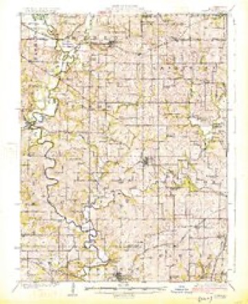
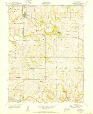
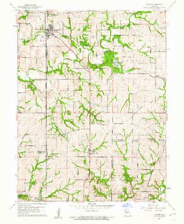
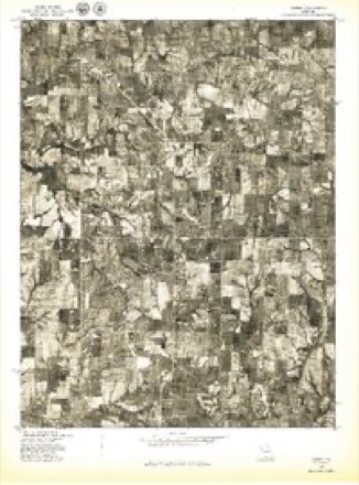
19 topographic sheets cover this place, the earliest surveyed in 1925 and the latest in 1986. It stands in Hardin Township. It lies in ZIP code area 64492. The Survey maps it on the Gower quadrangle. 61 people lived here at the 2020 count.
Topographic sheets covering this place
9 surveys from 19 printed sheetsMatched by testing this settlement's coordinate against the published boundary of every sheet in the United States Geological Survey's historical collection. Each opens the scanned sheet at the Survey.
- 1925 USGS Gower quadrangle1:62500, 3 printings
- 1950 USGS Kansas City quadrangle1:250000
- 1951 USGS Gower quadrangle1:24000, 2 printings
- 1954 USGS Kansas City quadrangle1:250000
- 1956 USGS Kansas City quadrangle1:250000, 4 printings
- 1960 USGS Kansas City quadrangle1:250000, 3 printings
- 1961 USGS Gower quadrangle1:24000, 2 printings
- 1978 USGS Gower quadrangle1:24000
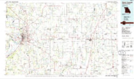
- 1986 USGS Saint Joseph quadrangle1:100000, 2 printings




What happened here
An account from the chapter on Hardin township. The inset identifies its exact source book and publication year.
Daniel Reed
section 15, post office Edgerton, was born May 18, 1849. ^"*^^ ^^ native of this count}-, where he has been raised. John, the father of the subject of this sketch, was an old pioneer of this district, and a man closel)' connected with its interests from an early day. He was shot and killed b\' Federals in 1862.
In the county-history sources
4,629 words on this townshipThe History of Clinton County, Missouri : Containing a History of the County, Its Cities, Towns, Etc., Biographical Sketches of Its Citizens, Clinton County in the Late War, General and Local Statistics, Portraits of Early Settlers and Prominent Men, History of Missouri, Map of Clinton County, Etc., Etc, published 1881 names this settlement in its chapter on Hardin Township. These are the passages that mention it, exactly as the scans read.
farmer and stock raiser, section 36, post office Grayson, is a native of Bracken County, Kentucky, and was born July 28, 1830. He is the son of Mr. Isaac Baker, one of Hardin Township's oldest and most respected citizens. The subject of this sketch came to Missouri in 1S47, and engaged ; in merchandising at Union Mills, where he continued one year, when he went to St. Joseph, and embarked in the pork packing business with his uncle. They were among the foremost in this branch in Northwest Missouri, and operated the first set of tanks. After a few years residence in St. Joseph, Mr. B. came to his present location, where he has since continued to be a resident with the exception o( a few years spent in Nebraska. His estate consists of 240 acres of choice land, in a high state of cultivation. During his sojourn in Clinton County he has been recognized as a leader in all enterprises for the county's advancement.
farmer and stock raiser, section i, post office Grayson, although not an old settler of this county, is, nevertheless, one who has been closely identified with the agricultural interests thereof. He is a native of Missouri, and was born in Platte County, (December 28, 1845. He was there raised in the occupation which he now follows. His father. George W., was an old settler and a highly respected citizen of Platte County, and a man to whom the county owes much for the interest manifested by him in its prosperity and grov^-th. He now resides in Jefferson County, Kansas. The town of Grayson was named in honor of his family. John Grayson has 180 acres of good, average land, most of which is under cultivation. He has been twice married. First, to Mi.^s Anna Belle Conwa)-. They had, from this marriage, two children^ one of whom is living, Conway. Mrs. G.'s death occured May 4, 1876. He was again married, May i, 1879, to Miss Maggie Williams. Thcv are members of the Christian Church, and contribute liberally toward.-^ its support.
farmer and stock raiser, section 1 1, post office Grayson, stands prominent .among the representative agriculturists of this district. He is a native of Ke"ntucky, and was born November 7. 1832. He was there raised and educated, and. in 1850. emigrated to California, settling in Placerville. There he embarked in mining, which he followed two years, and afterward removed to this state, and settled on the place where he now resides. Ho has 395 acres of laiul, most of whicli is under cu!ti\-atioi<. and upon which is a nice residence. His improvements jrenerally, arc of the first order. He has been twice married. I'Mrst, to Miss Virginia .\. Dunlap, a native of Virs^inia. They had, by this union, three chiklrcn : Emmet G., Charles D., and John. Mrs. Winn's death occurred Ma)- 1 ^. iS/j. He was again married December 15, 1874. to Miss Carrie C. Tremble. They have, from this marriai^e, two children : William 11, anil Annie M. Mr. W. is a member of the Protective Association. Ilc and his wife belong; to the Presbyterian Church, and are liberal supporters of the same.
Machine-read from a century-old scan, so expect the errors a machine makes: misspelled names, dropped words, stray characters.
Read the whole chapter on Hardin Township - it names this place 2 more 2 times.
Fires near this place
2 since 1996Regional context, not property-specific evidence. The federal wildfire occurrence database lists 2 fires within 5 miles of Grayson between 1996 and 2015, burning about 155 acres in total. None started naturally. None was recorded as arson. Distance is straight-line from the map coordinates, so a fire counted here may appear on a neighbouring settlement's page as well.
| Reported cause | Fires |
|---|---|
| Missing data/not specified/undetermined | 1 |
| Debris and open burning | 1 |
The most recent of them, most recent first, with the day each was reported and the service that recorded it.
| Date | Cause | Size | Reported by | Name on the report |
|---|---|---|---|---|
| 9 August 1996 | Debris and open burning | 5.0 acres | Missouri Department of Conservation | not named |
| 17 April 2015 | Missing data/not specified/undetermined | 150 acres | Missouri Department of Conservation | 128416-02517-04172015-1406 |
Settlements close enough to share some of these fires:
Mines and quarries near this place
10 of 20 shownRegional context, not property-specific evidence. The federal mineral resources record lists 20 workings within 5 miles of Grayson: 20 past producers. None of them still produces. What was taken out: Stone, Crushed/Broken. Distance is straight-line from the map coordinates, so a quarry counted here may appear on a neighbouring settlement's page as well.
| Where | Site | Commodity | Status | Recorded |
|---|---|---|---|---|
| Meakley Quarry | Stone, Crushed/Broken | Past Producer | ||
| Unk | Stone, Crushed/Broken | Past Producer | ||
| Unk | Stone, Crushed/Broken | Past Producer | ||
| Unk | Stone, Crushed/Broken | Past Producer | ||
| Unk | Stone, Crushed/Broken | Past Producer | ||
| Unk | Stone, Crushed/Broken | Past Producer | ||
| Unk | Stone, Crushed/Broken | Past Producer | ||
| Unk | Stone, Crushed/Broken | Past Producer | ||
| Unk | Stone, Crushed/Broken | Past Producer | ||
| Unk | Stone, Crushed/Broken | Past Producer |
Storms near this place
4 since 1999Regional context, not property-specific evidence. The National Weather Service names Grayson in 4 storm reports between 1999 and 2014: 3 hail, 1 thunderstorm wind. No death or injury is recorded in these reports. Each account below is quoted exactly as the forecast office filed it, from the NOAA Storm Events Database, and each date opens the federal record of that event.
| When | Event | Place named | Harm | What the report says |
|---|---|---|---|---|
| July 2004 | Thunderstorm Wind | Grayson | - | Several large trees and numerous tree limbs down. |
| April 2014 | Hail | Grayson | - | no account filed |
| May 2010 | Hail | Grayson | - | no account filed |
| April 1999 | Hail | Grayson | - | no account filed |
Nearest settlements
The eight closest, with where each one stands in the county. Distances are straight-line, computed from the Geographic Names Information System coordinates.
| Map | Place | Distance | Sheets |
|---|---|---|---|
| Westbridge | 3.4 miles | 19 | |
| Mecca | 4.0 miles | 37 | |
| Trimble | 4.3 miles | 37 | |
| Scearces | 4.4 miles | 19 | |
| Gower | 5.7 miles | 19 | |
| Plattsburg | 6.6 miles | 16 | |
| Lilly | 7.7 miles | 23 | |
| Starfield | 8.1 miles | 15 |
Elsewhere
Matched on this settlement's Geographic Names Information System number rather than its name, so it cannot be a different place of the same name in another state.
| Wikipedia article on Grayson | An encyclopaedic summary. Its text is share-alike, so it is linked here rather than copied. |
| Wikidata item Q12891159 | The structured record the population and elevation above come from. Public domain (CC0). |
Provenance
This settlement is recorded in the Geographic Names Information System as feature 730109. The sheet list is computed by point-in-boundary test against the United States Geological Survey's historical topographic inventory. Both are works of the United States government and carry no copyright under 17 U.S.C. 105.
Wildfire. Short, Karen C. 2022. Spatial wildfire occurrence data for the United States, 1992-2020 [FPA_FOD_20221014]. 6th Edition. Fort Collins, CO: Forest Service Research Data Archive. https://doi.org/10.2737/RDS-2013-0009.6 Collected with United States Government funding and usable without additional permissions or fees.
Mines and quarries. USGS Mineral Resources Data System (MRDS) https://mrdata.usgs.gov/mrds/ A work of the United States government, no copyright under 17 U.S.C. 105.
Storms. NOAA National Centers for Environmental Information, Storm Events Database https://www.ncei.noaa.gov/stormevents/ A work of the United States government, no copyright under 17 U.S.C. 105. Narratives are quoted verbatim from the National Weather Service report and are not edited or summarised.