 Block
Hendrickson, Missouri
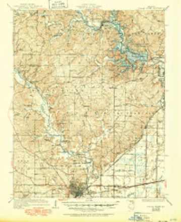
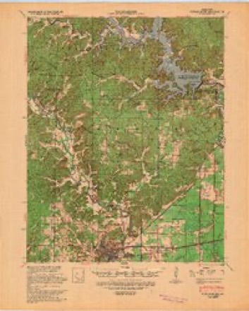
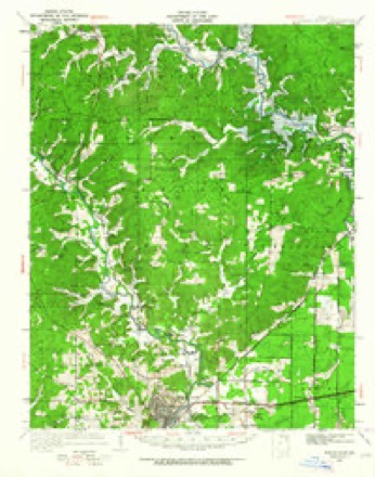
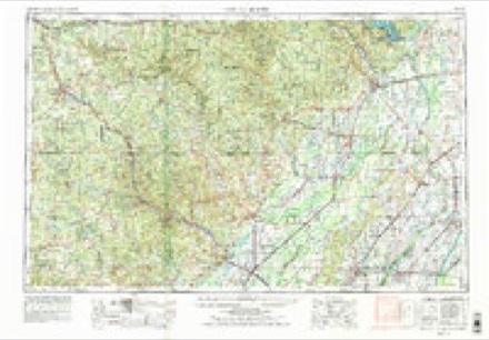
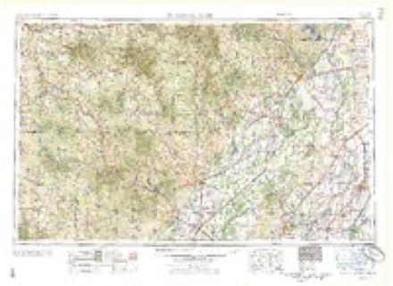
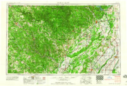
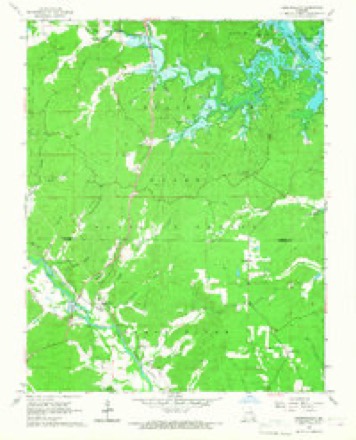
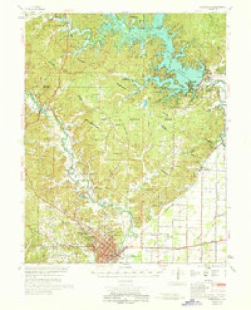
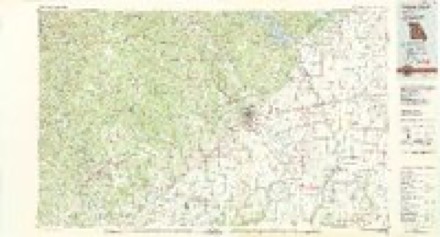
13 topographic sheets cover this place, the earliest surveyed in 1935 and the latest in 1983. It stands in Black River Township. It lies in ZIP code area 63967. It lies near Happy Hollow. The Survey maps it on the Hendrickson quadrangle.
Topographic sheets covering this place
9 surveys from 13 printed sheetsMatched by testing this settlement's coordinate against the published boundary of every sheet in the United States Geological Survey's historical collection. Each opens the scanned sheet at the Survey.
- 1935 USGS Poplar Bluff quadrangle1:62500, 3 printings
- 1939 USGS Poplar Bluff quadrangle1:62500
- 1949 USGS Poplar Bluff quadrangle1:62500
- 1957 USGS Poplar Bluff quadrangle1:250000, 3 printings
- 1959 USGS Poplar Bluff quadrangle1:250000
- 1960 USGS Poplar Bluff quadrangle1:250000
- 1966 USGS Hendrickson quadrangle1:24000
- 1968 USGS Poplar Bluff quadrangle1:62500
- 1983 USGS Poplar Bluff quadrangle1:100000
Fires near this place
70 since 1992Regional context, not property-specific evidence. The federal wildfire occurrence database lists 70 fires within 5 miles of Hendrickson between 1992 and 2020, burning about 914 acres in total. 1 started naturally. 29 were recorded as arson. Distance is straight-line from the map coordinates, so a fire counted here may appear on a neighbouring settlement's page as well.
| Reported cause | Fires |
|---|---|
| Arson/incendiarism | 29 |
| Missing data/not specified/undetermined | 15 |
| Debris and open burning | 15 |
| Power generation/transmission/distribution | 5 |
| Equipment and vehicle use | 4 |
| Natural | 1 |
| Recreation and ceremony | 1 |
The most recent of them, most recent first, with the day each was reported and the service that recorded it.
| Date | Cause | Size | Reported by | Name on the report |
|---|---|---|---|---|
| 30 September 2019 | Missing data/not specified/undetermined | under an acre | Missouri Department of Conservation | 189938-01201-09302019-1415 |
| 20 September 2000 | Power generation/transmission/distribution | 1.5 acres | Mark Twain National Forest | CO 522 |
| 11 September 1996 | Debris and open burning | 2.0 acres | Missouri Department of Conservation | not named |
| 7 August 2009 | Natural | under an acre | Mark Twain National Forest | HOT FOOT |
| 23 August 1998 | Equipment and vehicle use | 1.0 acres | Mark Twain National Forest | BOAT TRAILER |
| 5 July 1996 | Debris and open burning | 1.0 acres | Missouri Department of Conservation | not named |
| 5 July 1996 | Debris and open burning | 1.0 acres | Missouri Department of Conservation | not named |
| 13 July 2012 | Missing data/not specified/undetermined | 7.7 acres | Mark Twain National Forest | POWERLINE 49 |
Settlements close enough to share some of these fires:
Mines and quarries near this place
10 of 46 shownRegional context, not property-specific evidence. The federal mineral resources record lists 46 workings within 5 miles of Hendrickson: 34 past producers, 8 prospects, 2 producers, 2 occurrences. 2 still produce. What was taken out: Iron, Sand and Gravel, Construction, Stone, Crushed/Broken. Distance is straight-line from the map coordinates, so a quarry counted here may appear on a neighbouring settlement's page as well.
| Where | Site | Commodity | Status | Recorded |
|---|---|---|---|---|
| Unknown | Stone, Crushed/Broken | Past Producer | ||
| Williamsville Quarry & Plant | Stone, Crushed/Broken | Producer | ||
| Unknown | Sand and Gravel, Construction | Past Producer | ||
| Unknown | Sand and Gravel, Construction | Past Producer | ||
| Unknown | Sand and Gravel, Construction | Past Producer | ||
| Unknown | Sand and Gravel, Construction | Past Producer | ||
| Williamsville Sand & Gravel Pit | Sand and Gravel, Construction | Producer | ||
| Bailey Mine | Iron | Prospect | ||
| Black River Bank Number One | Iron | Past Producer | ||
| Burkett Bank | Iron | Past Producer |
Storms near this place
23 since 1997Regional context, not property-specific evidence. The National Weather Service names Hendrickson in 23 storm reports between 1997 and 2020: 9 hail, 5 thunderstorm wind, 3 tornado, 3 flash flood. The reports record 15 injuries. Each account below is quoted exactly as the forecast office filed it, from the NOAA Storm Events Database, and each date opens the federal record of that event.
| When | Event | Place named | Harm | What the report says |
|---|---|---|---|---|
| April 2002 | Tornado (F4) | Hendrickson | 14 hurt, $30,000,000 | The tornado crossed into Butler County in the Mark Twain National Forest, then proceded east-southeast, passing 6 to 7 miles north of Poplar Bluff. An upscale residential subdivision beyond the northern outskirts of Poplar Bluff, just off U.S. Route 67, received extensive damage. At least two well-constructed homes were levelled by peak winds estimated around 210 MPH. A total of 50 homes were destroyed in Butler County, 16 others received major damage, and 30 homes received minor damage. Most of the damaged homes were north of Poplar Bluff. Total damage figures for Butler County included timber losses in the national forest. The total number of injuries requiring hospital care that were directly attributed to the storm was 16. Five of the injured were admitted in critical condition. There were no fatalities from the storm. A woman who lived off U.S. Highway 67 took shelter in her bathtub. She reported that she and the bathtub were blown about 200 feet. She was reportedly found in the median of the highway. She was treated for a cracked sternum, broken ribs, a broken toe, and bruised lungs. In another incident on Highway 67, a large chunk of asphalt was blown through a vehicle's window, striking one of the people inside. The car was extensively damaged when it was blown off the road, but the 3 people inside received only cuts and bruises. |
| December 2013 | Flash Flood | Hendrickson | 1 hurt, $90,000 | Northwest of Poplar Bluff, flash flooding of Cane Creek resulted in a vehicle being inundated. A water rescue was conducted near U.S. Highway 60 and County Road 410, where two people were trapped in the vehicle, including a child. One person was injured and transported to a local hospital for treatment. Another water rescue was conducted on a secondary road near the junction of U.S. Highway 60 and Route T, east of Poplar Bluff. Two occupants were removed from the vehicle with no injuries. In the city of Poplar Bluff, persons were evacuated from a flooded home near the junction of Business Loop 60 and U.S. 67. About four miles west of Poplar Bluff, the fire department evacuated an elderly couple by boat from their home on County Road 450. Water was too deep for fire trucks to pass. |
| July 1997 | Hail | Hendrickson | $500,000 | A severe thunderstorm tracked east-southeast across Butler County, producing hail up to baseball size from the northwest corner of the county through the Poplar Bluff area into east central parts of the county. Dents were up to 3 inches long on vehicles, and at least 15 windshields were broken. At least 3 dozen homes sustained hail damage to roofs or siding. About 50 insurance claims were filed for house damage, and close to 200 auto claims were filed. Most of the damage was on the north side of Poplar Bluff, and from Hendrickson east across the northern part of the county. |
| May 2017 | Flash Flood | Hendrickson | $35,000 | A small section of County Road 523 was washed out. The washout was east of U.S. Highway 67. There was a report of 5.50 inches of rain in the area overnight. |
| March 2017 | Tornado (EF1) | Hendrickson | $25,000 | Peak winds were estimated near 105 mph. Much of the path was in a remote area of the Mark Twain National Forest. The most intense tree damage was where the tornado crossed U.S. Highway 67, about 1.5 miles north of the Highway 60/67 split. About half of the trees in this wooded area were uprooted, including dozens of oak trees and pine trees. Numerous pine trees were uprooted along County Road 522, and a few of them were snapped. A trained spotter observed the tornado from a distance. The tornado track ended about four miles north-northwest of Poplar Bluff. |
| March 2010 | Thunderstorm Wind | Hendrickson | $10,000 | Tree limbs were blown down on fences along Route O. |
| April 2011 | Thunderstorm Wind | Hendrickson | $5,000 | Trees were blown down. |
| May 2005 | Hail | Hendrickson | $3,000 | A police cruiser was damaged by the hail on U.S. Highway 67. |
| June 2019 | Thunderstorm Wind | Hendrickson | $1,000 | A tree fell across U.S. Highway 67 between the Black River bridge and the Highway 60 split. |
| May 2010 | Tornado (EF0) | Hendrickson | $1,000 | Peak winds in this brief tornado in the Mark Twain National Forest were estimated near 80 mph. Several large trees were down along County Road 410. |
| August 2020 | Flash Flood | Hendrickson | - | Creeks were all out of their banks across the far northwest part of the county. |
| December 2013 | Flood | Hendrickson | - | Several roads were closed, including parts of Highways 142 and 158. |
| January 2013 | Heavy Rain | Hendrickson | - | Heavy rainfall of 1.11 inches in one hour was reported. |
| November 2010 | Heavy Rain | Hendrickson | - | A trained spotter measured 1.31 inches of rain in two hours. The storm total rainfall was 3.01 inches. |
| April 2007 | Hail | Hendrickson | - | Quarter-size hail was reported on County Road 415 in the northwest corner of the county. |
| May 2001 | Thunderstorm Wind | Hendrickson | - | Large tree limbs were blown down. |
| July 1997 | Thunderstorm Wind | Hendrickson | - | Trees were blown down. |
| May 2018 | Hail | Hendrickson | - | no account filed |
| June 2012 | Hail | Hendrickson | - | no account filed |
| August 2012 | Hail | Hendrickson | - | no account filed |
| April 2011 | Hail | Hendrickson | - | no account filed |
| June 2011 | Hail | Hendrickson | - | no account filed |
| May 2002 | Hail | Hendrickson | - | no account filed |
Nearest settlements
The eight closest, with where each one stands in the county. Distances are straight-line, computed from the Geographic Names Information System coordinates.
| Map | Place | Distance | Sheets |
|---|---|---|---|
| Keeners | 2.3 miles | 13 | |
| Wilby | 2.8 miles | 15 | |
| Hilliard | 6.1 miles | 15 | |
| Loma Linda | 7.9 miles | 15 | |
| Halloran | 9.3 miles | 13 | |
| Green Forest | 9.5 miles | 15 | |
| Brush Arbor | 9.5 miles | 13 | |
| Cedar Valley | 9.5 miles | 15 |
Provenance
This settlement is recorded in the Geographic Names Information System as feature 750291. The sheet list is computed by point-in-boundary test against the United States Geological Survey's historical topographic inventory. Both are works of the United States government and carry no copyright under 17 U.S.C. 105.
Wildfire. Short, Karen C. 2022. Spatial wildfire occurrence data for the United States, 1992-2020 [FPA_FOD_20221014]. 6th Edition. Fort Collins, CO: Forest Service Research Data Archive. https://doi.org/10.2737/RDS-2013-0009.6 Collected with United States Government funding and usable without additional permissions or fees.
Mines and quarries. USGS Mineral Resources Data System (MRDS) https://mrdata.usgs.gov/mrds/ A work of the United States government, no copyright under 17 U.S.C. 105.
Storms. NOAA National Centers for Environmental Information, Storm Events Database https://www.ncei.noaa.gov/stormevents/ A work of the United States government, no copyright under 17 U.S.C. 105. Narratives are quoted verbatim from the National Weather Service report and are not edited or summarised.