 Block
Hornet, Missouri
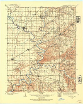
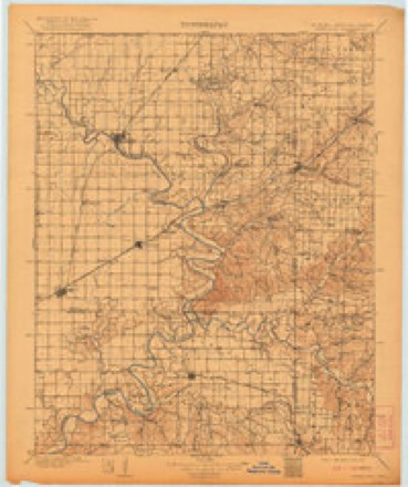
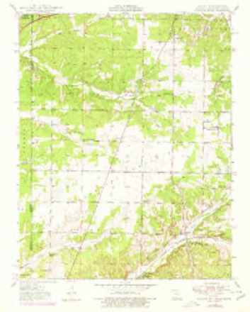
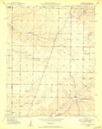
16 topographic sheets cover this place, the earliest surveyed in 1907 and the latest in 1986. It stands in Five Mile Township. It lies in ZIP code area 64865. The Survey maps it on the Racine quadrangle.
Topographic sheets covering this place
8 surveys from 16 printed sheetsMatched by testing this settlement's coordinate against the published boundary of every sheet in the United States Geological Survey's historical collection. Each opens the scanned sheet at the Survey.
- 1907 USGS Wyandotte quadrangle1:125000, 2 printings
- 1909 USGS Wyandotte quadrangle1:125000, 2 printings
- 1949 USGS Racine quadrangle1:24000, 2 printings
- 1950 USGS Racine quadrangle1:24000, 2 printings
- 1954 USGS Tulsa quadrangle1:250000, 2 printings
- 1958 USGS Tulsa quadrangle1:250000, 3 printings
- 1963 USGS Tulsa quadrangle1:250000
- 1986 USGS Neosho quadrangle1:100000, 2 printings
Fires near this place
118 since 1992Regional context, not property-specific evidence. The federal wildfire occurrence database lists 118 fires within 5 miles of Hornet between 1992 and 2020, burning about 2,186 acres in total. 10 started naturally. 6 were recorded as arson. Distance is straight-line from the map coordinates, so a fire counted here may appear on a neighbouring settlement's page as well.
| Reported cause | Fires |
|---|---|
| Debris and open burning | 50 |
| Missing data/not specified/undetermined | 41 |
| Natural | 10 |
| Arson/incendiarism | 6 |
| Recreation and ceremony | 5 |
| Equipment and vehicle use | 4 |
| Smoking | 2 |
The most recent of them, most recent first, with the day each was reported and the service that recorded it.
| Date | Cause | Size | Reported by | Name on the report |
|---|---|---|---|---|
| 6 September 1999 | Debris and open burning | 3.0 acres | Missouri Department of Conservation | not named |
| 5 September 2000 | Arson/incendiarism | 103 acres | Miami Agency | WILCOX |
| 19 September 2000 | Arson/incendiarism | 90 acres | Miami Agency | SPOOKLIGHT |
| 6 August 1996 | Equipment and vehicle use | 23 acres | Missouri Department of Conservation | not named |
| 31 August 2000 | Smoking | 1.0 acres | Missouri Department of Conservation | not named |
| 28 August 2010 | Natural | 197 acres | Miami Agency | FIFTY ROAD |
| 21 August 2006 | Missing data/not specified/undetermined | 2.0 acres | Missouri State Fire Marshal's Office | not named |
| 19 August 1999 | Debris and open burning | 1.0 acres | Missouri Department of Conservation | not named |
Settlements close enough to share some of these fires:
Mines and quarries near this place
10 of 119 shownRegional context, not property-specific evidence. The federal mineral resources record lists 119 workings within 5 miles of Hornet: 119 past producers. None of them still produces. What was taken out: Zinc, Lead, Lead, Zinc, Lead, Stone, Crushed/Broken. Distance is straight-line from the map coordinates, so a quarry counted here may appear on a neighbouring settlement's page as well.
| Where | Site | Commodity | Status | Recorded |
|---|---|---|---|---|
| Kirshmann-Jeffries Quarry | Stone, Crushed/Broken, Marble, Dimension | Past Producer | ||
| Unknown - Zn | Zinc | Past Producer | ||
| Taxbox Quarry | Stone, Crushed/Broken | Past Producer | ||
| Unknown - Ls | Stone, Crushed/Broken | Past Producer | ||
| Baxter Mines | Lead | Past Producer | ||
| Cornwall Diggings | Lead | Past Producer | ||
| Loveley's Mine | Lead | Past Producer | ||
| Alpha Mine | Lead, Zinc | Past Producer | ||
| Black Hawk Shaft | Lead, Zinc | Past Producer | ||
| Chenoweth Tract | Lead, Zinc | Past Producer |
Storms near this place
21 since 2004Regional context, not property-specific evidence. The National Weather Service names Hornet in 21 storm reports between 2004 and 2025: 8 flash flood, 6 hail, 3 thunderstorm wind, 2 tornado. The reports record 14 deaths and 200 injuries. Each account below is quoted exactly as the forecast office filed it, from the NOAA Storm Events Database, and each date opens the federal record of that event.
| When | Event | Place named | Harm | What the report says |
|---|---|---|---|---|
| May 2008 | Tornado (EF4) | Hornet | 14 killed, 200 hurt, $35,000,000 | This tornado is an extension of the Ottawa County, Oklahoma tornado. A National Weather Service storm survey revealed that an EF-4 tornado crossed into Missouri just north of Iris Road, and tracked east southeast all the way across Newton County to just north of Fairview. Several people were killed in automobiles, including a firefighter who was storm spotting, as the tornado briefly reached EF4 intensity near the intersection of Highway 43 and Iris Road. One vehicle at this location was thrown 5/8s of a mile. The tornado then extended to a mile wide and EF3 intensity as it tracked across the intersection of Highway 86 and BB. Many of the 14 fatalities and 200 injuries occurred from just west of Highway 43 to Highway 86. The communities of Granby and Newtonia were also directly impacted from this tornado. |
| March 2008 | Flash Flood | Hornet | $2,000,000 | Four to six and a half inches of rain fell over Newton County. Record flooding occurred along Shoal Creek near Joplin. Five houses and one resturant were destroyed. All locations across the county that typically flood during periods of excessive rainfall were flooded. |
| July 2004 | Tornado (F1) | Hornet | $150,000 | A National Weather Service storm survey revealed that an F-1 tornado touched down in the community of Hornet and remained on the ground for about one mile. Most of the damage was downed trees, with some damage to mobile homes and a church. No injuries or deaths occurred from this event. |
| August 2012 | Thunderstorm Wind | Hornet | $10,000 | Four trees were blown down and five homes had minor roof damage. |
| September 2025 | Hail | Hornet | - | Hail to the size of half dollars fell just south of Joplin. |
| June 2021 | Flash Flood | Hornet | - | Highway 86 was closed due to flooding at a low water area. |
| November 2020 | Hail | Hornet | - | Quarter sized hail was reported. |
| December 2018 | Thunderstorm Wind | Hornet | - | The Mesonet Station MO002, at Interstate 44 mile marker 1 near Joplin, measured a wind gust of 69 mph. |
| July 2018 | Hail | Hornet | - | Half Dollar size hail was reported. |
| July 2018 | Thunderstorm Wind | Hornet | - | Multiple downed tree branches between 8 and 14 inches in diameter were reported via social media. The time was estimated by radar. |
| March 2008 | Flood | Hornet | - | Numerous roads flooded in the city of Neosho. A section of Highway 125 near Fairview also flooded and became impassable to motorists. |
| March 2008 | Flood | Hornet | - | This flooding is a continuation of the flash flooding. Poor drainage areas continued to flood roadways and lowlands near rivers and creeks. |
| April 2008 | Flash Flood | Hornet | - | Three to five inches of rain fell over Newton County. All low areas that typically flood during periods of excessive rainfall were flooded. A couple of specific locations included a section of Highway CC near Racine and a section of Highway W at its intersection with Shoal Creek. |
| April 2008 | Flash Flood | Hornet | - | Several roads in the city of Neosho were flooded. Also, a section of Kodiak Road near its intersection with Orchid Road flooded. |
| February 2008 | Flash Flood | Hornet | - | Widespread flash flooding occurred countywide. |
| May 2008 | Flash Flood | Hornet | - | Three to five inches of rain fell over Newton County. All areas that typically flood during periods of excessive rain were flooded. More specifically, a few of these locations included a section of Highway CC between Highway K and Highway 60, urban areas of extreme southern Joplin, and urban areas within the city of Neosho. |
| June 2008 | Flash Flood | Hornet | - | One and a half to three inches of rain fell across Newton County. Widespread flooding of low lying roads and low water crossings occurred. The city of Neosho experienced flooding in the downtown area while the Little Lost Creek flooded a section of Highway CC. A creek in Wentworth also flooded low areas near the community. |
| September 2008 | Flash Flood | Hornet | - | Three to five inches of rain fell over Newton County resulting in flooding of small streams and creeks. A few specific locations that flooded included a section of Brook Street in Neosho, numerous roads within the northern half of Neosho, a section of Highway 86 near Newtonia, the intersection of Yocum Pond Road and Highway 413, and a section of Highway U near Stark City. |
| May 2009 | Hail | Hornet | - | no account filed |
| October 2009 | Hail | Hornet | - | no account filed |
| April 2005 | Hail | Hornet | - | no account filed |
Nearest settlements
The eight closest, with where each one stands in the county. Distances are straight-line, computed from the Geographic Names Information System coordinates.
| Map | Place | Distance | Sheets |
|---|---|---|---|
| Spring City | 2.1 miles | 16 | |
| Loma Linda | 2.6 miles | 16 | |
| Redings Mill | 4.5 miles | 19 | |
| Cliff Village | 4.8 miles | 19 | |
| Racine | 4.8 miles | 16 | |
| Spurgeon | 4.9 miles | 14 | |
| Shoal Creek Estates | 5.1 miles | 19 | |
| Seneca Quapaw Agency (historical) | 5.2 miles | 16 |
Elsewhere
Matched on this settlement's Geographic Names Information System number rather than its name, so it cannot be a different place of the same name in another state.
| Wikipedia article on Hornet | An encyclopaedic summary. Its text is share-alike, so it is linked here rather than copied. |
| Wikidata item Q5904334 | The structured record the population and elevation above come from. Public domain (CC0). |
Provenance
This settlement is recorded in the Geographic Names Information System as feature 719841. The sheet list is computed by point-in-boundary test against the United States Geological Survey's historical topographic inventory. Both are works of the United States government and carry no copyright under 17 U.S.C. 105.
Wildfire. Short, Karen C. 2022. Spatial wildfire occurrence data for the United States, 1992-2020 [FPA_FOD_20221014]. 6th Edition. Fort Collins, CO: Forest Service Research Data Archive. https://doi.org/10.2737/RDS-2013-0009.6 Collected with United States Government funding and usable without additional permissions or fees.
Mines and quarries. USGS Mineral Resources Data System (MRDS) https://mrdata.usgs.gov/mrds/ A work of the United States government, no copyright under 17 U.S.C. 105.
Storms. NOAA National Centers for Environmental Information, Storm Events Database https://www.ncei.noaa.gov/stormevents/ A work of the United States government, no copyright under 17 U.S.C. 105. Narratives are quoted verbatim from the National Weather Service report and are not edited or summarised.