 Block
Jordan, Missouri
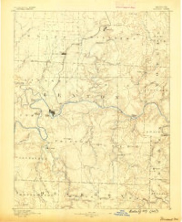
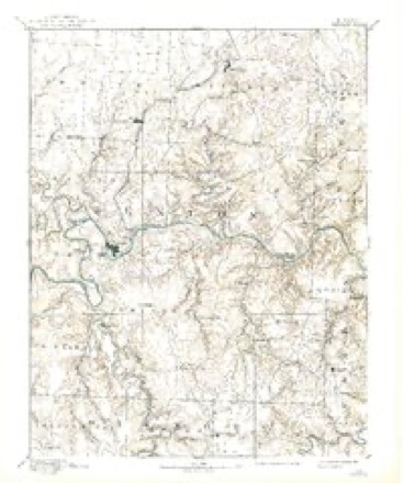
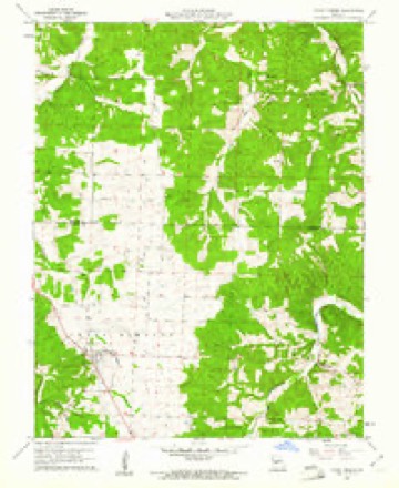
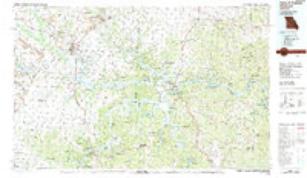
17 topographic sheets cover this place, the earliest surveyed in 1887 and the latest in 1983. It stands in Jordan Township. It lies in ZIP code area 65634. The Survey maps it on the Cross Timbers quadrangle.
Topographic sheets covering this place
9 surveys from 17 printed sheetsMatched by testing this settlement's coordinate against the published boundary of every sheet in the United States Geological Survey's historical collection. Each opens the scanned sheet at the Survey.
- 1887 USGS Warsaw quadrangle1:125000
- 1894 USGS Warsaw quadrangle1:125000, 4 printings
- 1947 USGS Jefferson City quadrangle1:250000
- 1954 USGS Jefferson City quadrangle1:250000, 2 printings
- 1955 USGS Jefferson City quadrangle1:250000, 4 printings
- 1958 USGS Jefferson City quadrangle1:250000
- 1959 USGS Jefferson City quadrangle1:250000
- 1960 USGS Cross Timbers quadrangle1:24000, 2 printings
- 1983 USGS Harry S Truman Reservoir quadrangle1:100000





In the county-history sources
3,621 words on this townshipWilson's History of Hickory County, published 1909 names this settlement in its chapter on Jordan Township. These are the passages that mention it, exactly as the scans read.
This is a trading point started in 1904 by the building of a steam flouring mill. The main promoter being George W. Jordan, of Drakeville, Iowa, who was assisted by George T. Pulliam and W. P. Clifford, of Appanoose County, Iowa. Mr. Jordan came here in 1904 and he with his associates in Iowa, formed a joint stock company with $5,000 or 50 shares of $100 each. The members of the joint stock company who subscribed and lived in the neighborhood of the projected mill were: James C. Stark, Thomas L. Stark, Alfred Stark, James M. Stark, Obediah Driskill, Thomas Driskill, Marion Driskill, Clement S. Ashley, Henry Ashley, Charles Ashley, William Owsley, Elijah Owsley, David M. Gates, Charles Astrom, Claus Nelson, Ole Oleson, John Johnson, Thomas S. Hall, and Fritz Muller. It is situate near Stark creek near the Southeast corner of Section 20, and the Southwest corner of Section 21, Township 38, Range 20, about five miles directly East of Cross Timbers. At this time the mill is owned and operated by James M. Stark and George W. Huffman, and they manufacture flour, meal and chops, buy corn and wheat, cattle, hogs and horses and are doing a prosperous business.
Passage source: Wilson's History of Hickory County, published 1909.
Machine-read from a century-old scan, so expect the errors a machine makes: misspelled names, dropped words, stray characters.
Fires near this place
35 since 1992Regional context, not property-specific evidence. The federal wildfire occurrence database lists 35 fires within 5 miles of Jordan between 1992 and 2019, burning about 1,254 acres in total. None started naturally. 12 were recorded as arson. Distance is straight-line from the map coordinates, so a fire counted here may appear on a neighbouring settlement's page as well.
| Reported cause | Fires |
|---|---|
| Debris and open burning | 16 |
| Arson/incendiarism | 12 |
| Missing data/not specified/undetermined | 4 |
| Equipment and vehicle use | 2 |
| Smoking | 1 |
The most recent of them, most recent first, with the day each was reported and the service that recorded it.
| Date | Cause | Size | Reported by | Name on the report |
|---|---|---|---|---|
| 6 September 2000 | Arson/incendiarism | 8.0 acres | Missouri Department of Conservation | not named |
| 11 August 1999 | Equipment and vehicle use | 5.0 acres | Missouri Department of Conservation | not named |
| 6 April 1992 | Debris and open burning | 25 acres | Missouri Department of Conservation | not named |
| 6 April 1992 | Arson/incendiarism | 60 acres | Missouri Department of Conservation | not named |
| 6 April 1992 | Debris and open burning | 1.0 acres | Missouri Department of Conservation | not named |
| 4 April 1992 | Arson/incendiarism | 1.0 acres | Missouri Department of Conservation | not named |
| 16 April 2019 | Missing data/not specified/undetermined | 3.9 acres | Missouri Department of Conservation | 178596-03015-04162019-0546 |
| 13 April 2014 | Debris and open burning | 93 acres | Missouri Department of Conservation | not named |
Settlements close enough to share some of these fires:
Mines and quarries near this place
3 within 5 milesRegional context, not property-specific evidence. The federal mineral resources record lists 3 workings within 5 miles of Jordan: 2 past producers, 1 prospect. None of them still produces. What was taken out: Lead, Iron, Zinc, Barium-Barite. Distance is straight-line from the map coordinates, so a quarry counted here may appear on a neighbouring settlement's page as well.
| Where | Site | Commodity | Status | Recorded |
|---|---|---|---|---|
| Givens Bank | Iron | Past Producer | ||
| Unknown - Lead Zinc Barite | Lead, Zinc, Barium-Barite | Prospect | ||
| Pomme De Terre Mine | Lead | Past Producer |
Storms near this place
18 since 2011Regional context, not property-specific evidence. The National Weather Service names Jordan in 18 storm reports between 2011 and 2024: 10 flood, 4 flash flood, 2 thunderstorm wind, 1 hail. No death or injury is recorded in these reports. Each account below is quoted exactly as the forecast office filed it, from the NOAA Storm Events Database, and each date opens the federal record of that event.
| When | Event | Place named | Harm | What the report says |
|---|---|---|---|---|
| May 2011 | Hail | Jordan | $100,000 | Hail fell in the town of Almon damaging roofs and cars. |
| January 2020 | Tornado (EF1) | Jordan | $45,000 | A National Weather Service Survey determined that an EF-1 tornado touched down a few miles southeast of Cross Timbers on Highway CC and tracked for a mile and a half to the northeast before quickly lifting. Along the path of the tornado there were numerous trees snapped or uprooted, minor roof damage to two homes, and an outbuilding completely destroyed. The tornado produced EF1 damage with maximum winds up to 100 mph and a max width of 100 yards. The tornado was on the ground for 3 minutes along a 1.6 mile path. |
| April 2015 | Flood | Jordan | $5,000 | State Route P was washed out at Starks Creek. |
| March 2024 | Flood | Jordan | - | Route P was closed due to flooding at Starks Creek. |
| April 2024 | Flood | Jordan | - | Route P at Starks Creek was flooded and impassable. |
| April 2024 | Flood | Jordan | - | Route P at Starks Creek was flooded and impassable and closed by MoDOT. |
| June 2024 | Flash Flood | Jordan | - | State Highway P closed due to flooding at Starks Creek. |
| May 2022 | Flood | Jordan | - | State Highway P was closed a a low water crossing due to flooding at Starks Creek. |
| March 2021 | Flash Flood | Jordan | - | Highway P was closed at the low water bridge on the Little Niangua River due to flooding. |
| March 2021 | Flood | Jordan | - | The low water crossing on Highway P at Starks Creek was closed due to flooding. |
| April 2020 | Flood | Jordan | - | Highway P at the Starks Creek low water crossing was flooded. |
| July 2020 | Flash Flood | Jordan | - | Route P was closed due to flooding at Starks Creek. |
| June 2018 | Thunderstorm Wind | Jordan | - | Several large tree limbs were reported down. |
| December 2018 | Flood | Jordan | - | A viewer report from a media partner showed the road closed at the Jordan Bridge on Highway P due to flooding. |
| May 2017 | Flood | Jordan | - | State Highway P was closed due to flooding along Jordon Creek. |
| August 2017 | Flood | Jordan | - | MODOT reported Route P was closed due to flooding of Starks Creek. |
| June 2016 | Thunderstorm Wind | Jordan | - | Several large trees and large branches were broken. One large tree was split in half two miles east of Cross Timbers. |
| July 2015 | Flash Flood | Jordan | - | Highway P at Starks Creek was closed due to flooding. |
Nearest settlements
The eight closest, with where each one stands in the county. Distances are straight-line, computed from the Geographic Names Information System coordinates.
| Map | Place | Distance | Sheets |
|---|---|---|---|
| Cross Timbers | 4.5 miles | 17 | |
| Almon | 5.0 miles | 17 | |
| Preston | 6.6 miles | 17 | |
| Phillips Ford (historical) | 10.0 miles | 20 | |
| Round Bottom Ford (historical) | 10.4 miles | 20 | |
| Hermitage | 10.8 miles | 20 | |
| Carsons Corner | 11.5 miles | 20 | |
| Nemo | 11.9 miles | 20 |
Elsewhere
Matched on this settlement's Geographic Names Information System number rather than its name, so it cannot be a different place of the same name in another state.
| Wikipedia article on Jordan | An encyclopaedic summary. Its text is share-alike, so it is linked here rather than copied. |
| Wikidata item Q27985290 | The structured record the population and elevation above come from. Public domain (CC0). |
Provenance
This settlement is recorded in the Geographic Names Information System as feature 740974. The sheet list is computed by point-in-boundary test against the United States Geological Survey's historical topographic inventory. Both are works of the United States government and carry no copyright under 17 U.S.C. 105.
Wildfire. Short, Karen C. 2022. Spatial wildfire occurrence data for the United States, 1992-2020 [FPA_FOD_20221014]. 6th Edition. Fort Collins, CO: Forest Service Research Data Archive. https://doi.org/10.2737/RDS-2013-0009.6 Collected with United States Government funding and usable without additional permissions or fees.
Mines and quarries. USGS Mineral Resources Data System (MRDS) https://mrdata.usgs.gov/mrds/ A work of the United States government, no copyright under 17 U.S.C. 105.
Storms. NOAA National Centers for Environmental Information, Storm Events Database https://www.ncei.noaa.gov/stormevents/ A work of the United States government, no copyright under 17 U.S.C. 105. Narratives are quoted verbatim from the National Weather Service report and are not edited or summarised.