 Block
Maud, Missouri
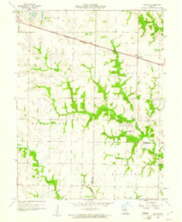
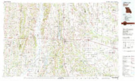
9 topographic sheets cover this place, the earliest surveyed in 1953 and the latest in 1981. It stands in Jefferson Township. It lies in ZIP code area 63437. The Survey maps it on the Lentner quadrangle.
Topographic sheets covering this place
6 surveys from 9 printed sheetsMatched by testing this settlement's coordinate against the published boundary of every sheet in the United States Geological Survey's historical collection. Each opens the scanned sheet at the Survey.
- 1953 USGS Moberly quadrangle1:250000
- 1954 USGS Moberly quadrangle1:250000, 3 printings
- 1957 USGS Moberly quadrangle1:250000
- 1958 USGS Lentner quadrangle1:24000, 2 printings
- 1960 USGS Moberly quadrangle1:250000
- 1981 USGS Macon quadrangle1:100000




Fires near this place
3 since 2007Regional context, not property-specific evidence. The federal wildfire occurrence database lists 3 fires within 5 miles of Maud between 2007 and 2017, burning about 50 acres in total. None started naturally. None was recorded as arson. Distance is straight-line from the map coordinates, so a fire counted here may appear on a neighbouring settlement's page as well.
| Reported cause | Fires |
|---|---|
| Debris and open burning | 2 |
| Missing data/not specified/undetermined | 1 |
The most recent of them, most recent first, with the day each was reported and the service that recorded it.
| Date | Cause | Size | Reported by | Name on the report |
|---|---|---|---|---|
| 8 March 2017 | Debris and open burning | 25 acres | Missouri Department of Conservation | not named |
| 5 November 2007 | Debris and open burning | 15 acres | Missouri State Fire Marshal's Office | not named |
| 17 November 2016 | Missing data/not specified/undetermined | 10 acres | Missouri Department of Conservation | 142032-06949-11172016-1825 |
Settlements close enough to share some of these fires:
Storms near this place
7 since 2008Regional context, not property-specific evidence. The National Weather Service names Maud in 7 storm reports between 2008 and 2017: 5 flash flood, 1 thunderstorm wind, 1 tornado. The reports record 1 injury. Each account below is quoted exactly as the forecast office filed it, from the NOAA Storm Events Database, and each date opens the federal record of that event.
| When | Event | Place named | Harm | What the report says |
|---|---|---|---|---|
| March 2017 | Tornado (EF1) | Maud | 1 hurt | Tornado touched down on County Road 503, just south of the intersection with Highway Y. A barn was destroyed in this location with the damage rated EF1. The tornado tracked to the northeast causing scattered tree and building damage. As the tornado crossed County Road 426, just west of the intersection with Highway A, it destroyed a farm outbuilding. The tornado then crossed U.S. Highway 36 and hit the South Shelby High School. The school suffered minor roof damage, a couple of storage buildings were destroyed, and the baseball field backstop was destroyed. The press box was blown off the football field bleachers and destroyed. One home just northeast of the high school had a portion of its roof blown off. Intermittent tree and farm outbuilding damage continued until about 5.2 miles northeast of Shelbina. One injury occurred. A man was cut on the forehead by flying debris and required stitches. Overall, the tornado was rated EF1 with a path length of 18.47 miles and max path width of 150 yards. |
| June 2017 | Flash Flood | Maud | - | Up to 6 inches of rain fell in a short amount of time causing flash flooding, especially across the southern half of Shelby County. Numerous roads were flooded including Highway 15 at the Salt River Bridge and U.S. Highway 36 at various locations both east and west of Shelbina. In Shelbina, numerous roads were closed due to flash flooding. |
| June 2015 | Flash Flood | Maud | - | Up to four inches of rain fell in a short amount of time causing flash flooding. Numerous primary and secondary roads were flooded. Also, several vehicles were off the highway and partially submerged along U.S. Highway 36 and Highway 15 near Shelbina. No injuries or deaths were reported. |
| April 2013 | Flash Flood | Maud | - | Up to five inches of rain fell over Shelby County in a short amount of time causing flash flooding. Numerous roads were flooded including Highway 151 just north of Clarence. |
| October 2009 | Flash Flood | Maud | - | Up to three inches of rain fell in a short amount of time on saturated soils causing flash flooding. Numerous roads were flooded including State Route DD near Maud. |
| July 2008 | Flash Flood | Maud | - | Over 5 inches of rain fell onto already saturated soils causing flash flooding. Numerous roads were flooded and closed for a time including U.S. Highway 36 east of Letner and east of Shelbina. Also, Highway 15 was closed in spots, Highway 151 was closed north of Clarence and Routes N, J, AA and K were closed in spots. Several motorists had to be rescued after driving into water over 18 inches deep on U.S. Highway 36 east of Shelbina. |
| April 2014 | Thunderstorm Wind | Maud | - | no account filed |
Nearest settlements
The eight closest, with where each one stands in the county. Distances are straight-line, computed from the Geographic Names Information System coordinates.
| Map | Place | Distance | Sheets |
|---|---|---|---|
| Enterprise | 3.6 miles | 11 | |
| Lentner | 6.4 miles | 9 | |
| Clarence | 8.2 miles | 11 | |
| Shelbina | 9.1 miles | 9 | |
| Walkersville | 10.0 miles | 9 | |
| Lakenan | 13.2 miles | 12 | |
| Kellerville | 13.4 miles | 8 | |
| Hagers Grove | 13.7 miles | 8 |
Provenance
This settlement is recorded in the Geographic Names Information System as feature 735713. The sheet list is computed by point-in-boundary test against the United States Geological Survey's historical topographic inventory. Both are works of the United States government and carry no copyright under 17 U.S.C. 105.
Wildfire. Short, Karen C. 2022. Spatial wildfire occurrence data for the United States, 1992-2020 [FPA_FOD_20221014]. 6th Edition. Fort Collins, CO: Forest Service Research Data Archive. https://doi.org/10.2737/RDS-2013-0009.6 Collected with United States Government funding and usable without additional permissions or fees.
Storms. NOAA National Centers for Environmental Information, Storm Events Database https://www.ncei.noaa.gov/stormevents/ A work of the United States government, no copyright under 17 U.S.C. 105. Narratives are quoted verbatim from the National Weather Service report and are not edited or summarised.