 Block
Portageville, Missouri
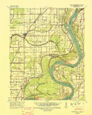
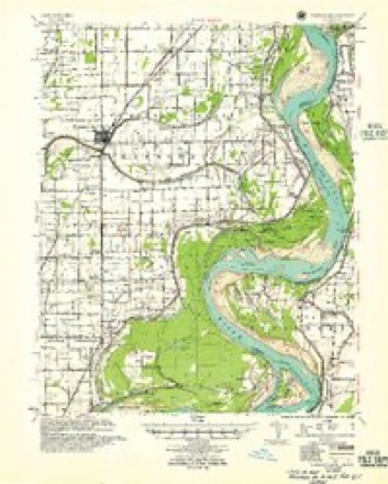
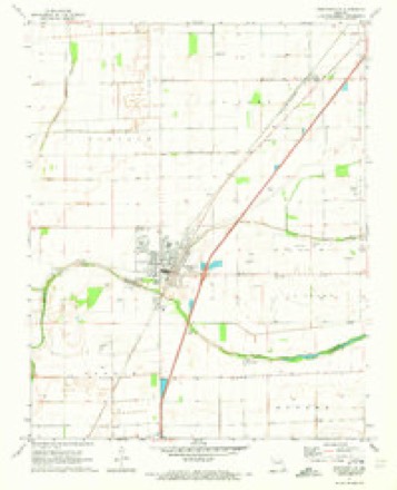
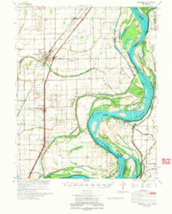
11 topographic sheets cover this place, the earliest surveyed in 1939 and the latest in 1983. It stands in Portage Township. It lies in ZIP code area 63873. The Survey maps it on the Portageville quadrangle.
Topographic sheets covering this place
6 surveys from 11 printed sheetsMatched by testing this settlement's coordinate against the published boundary of every sheet in the United States Geological Survey's historical collection. Each opens the scanned sheet at the Survey.
- 1939 USGS Portageville quadrangle1:62500, 2 printings
- 1955 USGS Portageville quadrangle1:62500
- 1956 USGS Dyersburg quadrangle1:250000, 4 printings
- 1971 USGS Portageville quadrangle1:24000, 2 printings
- 1973 USGS Portageville quadrangle1:62500
- 1983 USGS Dyersburg quadrangle1:100000
Mines and quarries near this place
6 within 5 milesRegional context, not property-specific evidence. The federal mineral resources record lists 6 workings within 5 miles of Portageville: 6 past producers. None of them still produces. What was taken out: Sand and Gravel, Construction. Distance is straight-line from the map coordinates, so a quarry counted here may appear on a neighbouring settlement's page as well.
| Where | Site | Commodity | Status | Recorded |
|---|---|---|---|---|
| Borrow Pit | Sand and Gravel, Construction | Past Producer | ||
| Borrow Pit | Sand and Gravel, Construction | Past Producer | ||
| Borrow Pit | Sand and Gravel, Construction | Past Producer | ||
| Borrow Pit | Sand and Gravel, Construction | Past Producer | ||
| Borrow Pit | Sand and Gravel, Construction | Past Producer | ||
| Borrow Pit | Sand and Gravel, Construction | Past Producer |
Storms near this place
37 since 1995Regional context, not property-specific evidence. The National Weather Service names Portageville in 37 storm reports between 1995 and 2024: 15 hail, 14 thunderstorm wind, 3 tornado, 3 flood. No death or injury is recorded in these reports. Each account below is quoted exactly as the forecast office filed it, from the NOAA Storm Events Database, and each date opens the federal record of that event.
| When | Event | Place named | Harm | What the report says |
|---|---|---|---|---|
| February 2011 | Thunderstorm Wind | Portageville | $75,000 | The path width of this downburst was about 75 yards, and the path length was about 300 yards. Two well-constructed barns were destroyed. There was shingle and siding damage to at least five homes. Tree limbs were down, and a privacy fence was down. |
| May 2004 | Thunderstorm Wind | Portageville | $35,000 | no account filed |
| May 2024 | Thunderstorm Wind | Portageville | $20,000 | Multiple trees were downed in the New Madrid and Portageville area as a thunderstorm line swept eastward early morning. Nearly half the county was without power late morning. |
| May 2000 | Tornado (F0) | Portageville | $20,000 | State highway patrol officers reported a brief tornado along Highway 162 between Gideon and Portageville. Telephone poles were down, and a large barn was destroyed. |
| July 1997 | Thunderstorm Wind | Portageville | $20,000 | The roof was blown off a trailer home. Tree limbs and small trees were down. |
| June 1999 | Thunderstorm Wind | Portageville | $7,000 | Several large tree limbs were downed, including one across the front porch of a house. |
| August 2023 | Thunderstorm Wind | Portageville | $5,000 | Several trees were blown down. The damaging winds were due to outflow from a weakening cluster of thunderstorms to the north. |
| June 2005 | Thunderstorm Wind | Portageville | $5,000 | Construction signs were blown down along Interstate 55 near Portageville, and trees and power lines were down in Portageville. |
| April 1999 | Thunderstorm Wind | Portageville | $5,000 | Tree limbs and power lines were blown over. |
| May 2018 | Hail | Portageville | $4,000 | no account filed |
| May 2018 | Thunderstorm Wind | Portageville | $3,000 | Trees were damaged with the storms. |
| June 1996 | Thunderstorm Wind | Portageville | $1,000 | no account filed |
| June 2024 | Hail | Portageville | - | Penny size hail occurred in Portageville. A social media video from the town showed |wind gusts estimated to 50 to 55 mph. |
| March 2023 | Flash Flood | Portageville | - | Water was over the road in a couple of spots along Route T. |
| August 2023 | Flood | Portageville | - | Street flooding was reported in Portageville. |
| December 2016 | Hail | Portageville | - | A rotating supercell dropped very large, irregularly shaped hailstones. The maximum diameters of the largest hailstones were just over three inches, including the protrusions. The supercell that produced this hail contained strong rotation in the middle levels of the storm. |
| December 2013 | Flood | Portageville | - | In Lilbourn, water was being pumped over a highway to keep homes from flooding in the northeast corner of town. The problem was caused by flooding of a large ditch along Highway U. In Portageville, streets and yards were flooded. A section of Highway FF was closed. |
| April 2012 | Tornado (EF0) | Portageville | - | A tornado was confirmed via numerous video footage and pictures taken by Emergency Management (Portageville), law enforcement and the general public. The tornado traveled primarily through open fields. An irrigation system was blown over indicating peak winds about 80 mph. The tornado was approximately 100 yards wide and on the ground for about 4 miles from just north of Portageville to near Conran, between Hwy 61 and State State Hwy F. |
| February 2011 | Thunderstorm Wind | Portageville | - | Wind gusts were estimated near 60 mph. Moving cars were blown off Interstate 55 at the Portageville exit. |
| April 2011 | Thunderstorm Wind | Portageville | - | A spotter estimated a wind gust to 60 mph. |
| February 2011 | Funnel Cloud | Portageville | - | A funnel cloud was observed near the downburst damage site by numerous people. |
| April 2002 | Tornado (F0) | Portageville | - | A brief touchdown occurred in a small wooded area along Route 162 in extreme southeast New Madrid County. Several large trees were snapped at the base. No structures were involved. |
| July 2002 | Thunderstorm Wind | Portageville | - | Large tree limbs were blown down. |
| July 2014 | Hail | Portageville | - | no account filed |
| May 2012 | Hail | Portageville | - | no account filed |
| April 2011 | Flood | Portageville | - | no account filed |
| April 2006 | Hail | Portageville | - | no account filed |
| April 2006 | Hail | Portageville | - | no account filed |
| May 2006 | Hail | Portageville | - | no account filed |
| May 2006 | Hail | Portageville | - | no account filed |
| April 2003 | Hail | Portageville | - | no account filed |
| April 2003 | Hail | Portageville | - | no account filed |
| April 1998 | Hail | Portageville | - | no account filed |
| June 1995 | Hail | Portageville | - | no account filed |
| May 1995 | Hail | Portageville | - | no account filed |
| May 1995 | Hail | Portageville | - | no account filed |
| May 1995 | Thunderstorm Wind | Portageville | - | no account filed |
Nearest settlements
The eight closest, with where each one stands in the county. Distances are straight-line, computed from the Geographic Names Information System coordinates.
| Map | Place | Distance | Sheets |
|---|---|---|---|
| Boekerton | 3.6 miles | 8 | |
| Jaywye | 3.9 miles | 11 | |
| Conran | 4.9 miles | 11 | |
| Frailie | 6.3 miles | 8 | |
| New Garver | 6.5 miles | 8 | |
| Lone Star | 6.5 miles | 11 | |
| Point Pleasant | 6.9 miles | 11 | |
| Marston | 7.9 miles | 15 |
Provenance
This settlement is recorded in the Geographic Names Information System as feature 724759. The sheet list is computed by point-in-boundary test against the United States Geological Survey's historical topographic inventory. Both are works of the United States government and carry no copyright under 17 U.S.C. 105.
Mines and quarries. USGS Mineral Resources Data System (MRDS) https://mrdata.usgs.gov/mrds/ A work of the United States government, no copyright under 17 U.S.C. 105.
Storms. NOAA National Centers for Environmental Information, Storm Events Database https://www.ncei.noaa.gov/stormevents/ A work of the United States government, no copyright under 17 U.S.C. 105. Narratives are quoted verbatim from the National Weather Service report and are not edited or summarised.