 Block
Scott City, Missouri
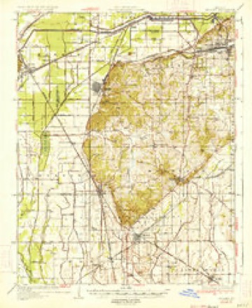
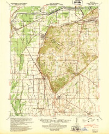
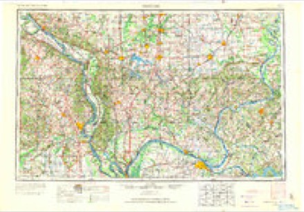
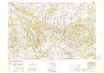
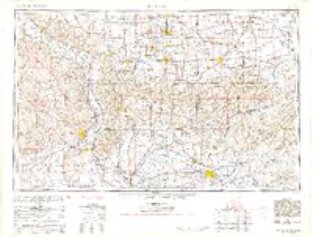
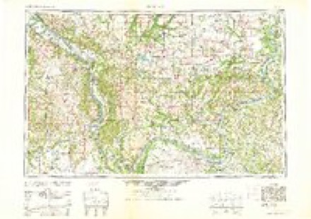
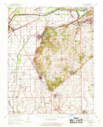
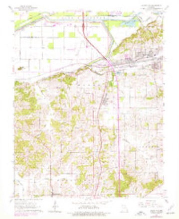
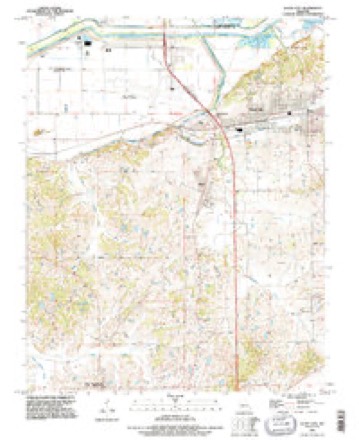
21 topographic sheets cover this place, the earliest surveyed in 1934 and the latest in 1993. It stands in Kelso Township. It lies in ZIP code area 63780. It stands on Illmo Branch. The Survey maps it on the Scott City quadrangle.
Research this city
Topographic sheets covering this place
13 surveys from 21 printed sheetsMatched by testing this settlement's coordinate against the published boundary of every sheet in the United States Geological Survey's historical collection. Each opens the scanned sheet at the Survey.
- 1934 USGS Morley quadrangle1:62500, 3 printings
- 1939 USGS Morley quadrangle1:62500, 2 printings
- 1949 USGS Paducah quadrangle1:250000, 2 printings
- 1950 USGS Paducah quadrangle1:250000
- 1954 USGS Paducah quadrangle1:250000, 2 printings
- 1961 USGS Paducah quadrangle1:250000, 2 printings
- 1963 USGS Morley quadrangle1:62500
- 1963 USGS Scott City quadrangle1:24000, 2 printings
- 1964 USGS Paducah quadrangle1:250000, 2 printings
- 1984 USGS Cape Girardeau quadrangle1:100000
- 1986 USGS Cape Girardeau quadrangle1:100000
- 1987 USGS Paducah quadrangle1:250000
- 1993 USGS Scott City quadrangle1:24000
Fires near this place
13 since 2005Regional context, not property-specific evidence. The federal wildfire occurrence database lists 13 fires within 5 miles of Scott City between 2005 and 2018, burning about 197 acres in total. None started naturally. 2 were recorded as arson. Distance is straight-line from the map coordinates, so a fire counted here may appear on a neighbouring settlement's page as well.
| Reported cause | Fires |
|---|---|
| Debris and open burning | 4 |
| Missing data/not specified/undetermined | 4 |
| Arson/incendiarism | 2 |
| Power generation/transmission/distribution | 1 |
| Railroad operations and maintenance | 1 |
| Recreation and ceremony | 1 |
The most recent of them, most recent first, with the day each was reported and the service that recorded it.
| Date | Cause | Size | Reported by | Name on the report |
|---|---|---|---|---|
| 8 May 2018 | Arson/incendiarism | 90 acres | Shawnee National Forest | REIMAN |
| 5 April 2007 | Railroad operations and maintenance | under an acre | Shawnee National Forest | GALE FIRE |
| 3 April 2011 | Power generation/transmission/distribution | 5.0 acres | Illinois Division of Forestry Resources | BEAN |
| 19 April 2005 | Missing data/not specified/undetermined | 47 acres | Shawnee National Forest | REIMANN ROAD |
| 18 April 2018 | Missing data/not specified/undetermined | under an acre | Missouri Department of Conservation | 176677-10082-04182018-1049 |
| 12 April 2018 | Debris and open burning | 1.3 acres | Missouri Department of Conservation | 176676-10082-04122018-0119 |
| 1 April 2015 | Debris and open burning | 25 acres | Missouri Department of Conservation | 121513-10082-04012015-1324 |
| 4 March 2017 | Debris and open burning | 1.0 acres | Missouri Department of Conservation | not named |
Settlements close enough to share some of these fires:
Mines and quarries near this place
10 of 16 shownRegional context, not property-specific evidence. The federal mineral resources record lists 16 workings within 5 miles of Scott City: 8 past producers, 5 producers, 1 unknown, 1 prospect. 5 still produce. What was taken out: Stone, Crushed/Broken, Clay. Distance is straight-line from the map coordinates, so a quarry counted here may appear on a neighbouring settlement's page as well.
| Where | Site | Commodity | Status | Recorded |
|---|---|---|---|---|
| Aba Pit | Clay | Past Producer | ||
| Marquette Clay Pit | Clay | Producer | ||
| Arnold Quarry | Stone, Crushed/Broken | Past Producer | ||
| Federal Mine | Stone, Crushed/Broken | Producer | ||
| Grays Point Quarry #2 & Mill | Stone, Crushed/Broken | Producer | ||
| Limestone Prospect | Stone, Crushed/Broken | Occurrence | ||
| Marquette Quarry and Mill | Stone, Crushed/Broken | Producer | ||
| Oglesby Quarry | Stone, Crushed/Broken | Past Producer | ||
| Southeast Mo Stone Co Quarry & Plnt | Stone, Crushed/Broken | Producer | ||
| Thebes Sandstone Deposit | Stone, Crushed/Broken | Prospect |
Storms near this place
42 since 1994Regional context, not property-specific evidence. The National Weather Service names Scott City in 42 storm reports between 1994 and 2023: 15 thunderstorm wind, 13 hail, 7 flood, 2 heavy rain. No death or injury is recorded in these reports. Each account below is quoted exactly as the forecast office filed it, from the NOAA Storm Events Database, and each date opens the federal record of that event.
| When | Event | Place named | Harm | What the report says |
|---|---|---|---|---|
| January 2016 | Flood | Scott City | $500,000 | Mississippi River levels continued their climb from December, and record flooding occurred early in the month. At the Thebes, Illinois river gage, the river crested at a new record of 47.74 feet before dawn on the 2nd. The old record was 45.91 feet, which was set in May of 1995. Records at Thebes go back to at least 1844. The 2016 crest would have been higher if a major levee break had not occurred between Thebes and Cairo, Illinois. Flood stage at Thebes is 33 feet. Thousands of acres of unprotected land outside the levee system were flooded, most of which was cropland. The small community of Commerce, which is not protected by a levee, was severely flooded. Only about nine homes in the community remain occupied following a series of government buyouts. A private agricultural levee was breached just south of Commerce, resulting in the inundation of 5,500 acres of empty cropland. The private levee was located on the river side of a much bigger federal levee that functioned very well. |
| June 2019 | Lightning | Scott City | $50,000 | A church burned to the ground as a result of a lightning-related fire. |
| June 2019 | Flood | Scott City | $50,000 | Major flooding of the Mississippi River continued to inundate thousands of acres of crops. Although this was the fifth highest flood crest on record at Cape Girardeau, relatively few homes were flooded because of migration out of the flood plain in recent decades. Transportation in eastern parts of the county was difficult due to numerous flooded roads. |
| May 2016 | Flash Flood | Scott City | $50,000 | At least one water rescue was conducted along Route A between Benton and Hamburg. Numerous roads were underwater. Water was at least one foot deep over many roads in Scott City, including main streets. Portions of County Roads 210 and 219 were washed away just east of Rockview. A portion of a culvert was washed away on County Road 214 between Hamburg and Kelso. About ten roads were closed or impassable in Sikeston due to high water. The Sikeston Department of Public Safety asked people to stay off the roads in Sikeston, if possible. Cars became submerged in flooded areas. Two inches of rain fell in 45 minutes at Kelso. |
| July 2016 | Thunderstorm Wind | Scott City | $50,000 | Just south of Commerce near the Mississippi River levee, a large metal farm shed was heavily damaged and windows were broken out of farm tractors. Numerous trees were snapped. Four miles south of Commerce, trees and limbs were blown down. Power was knocked out. In Scott City, trees and power lines were blown down. |
| June 2005 | Thunderstorm Wind | Scott City | $50,000 | Hangar doors were blown in at the Cape Girardeau Airport. Windows were broken in the terminal building when the wind blew a portable passenger boarding ramp through them. The wings of two planes were damaged. |
| July 2015 | Thunderstorm Wind | Scott City | $35,000 | Numerous trees and tree limbs were blown down throughout most of Scott City except for the western part near Interstate 55. Some of the large limbs and branches were from healthy trees. The whole trees that blew down were diseased or rotten. Two trees fell on one home, causing major damage to the house. One tree fell on a car. Power lines were down, and streets were closed. The damage was caused by a microburst with peak winds estimated near 75 mph. The width of the damage area was about one-half mile. The length of the damage path was about 1.6 miles. |
| July 2019 | Flood | Scott City | $30,000 | Mississippi River floodwaters gradually receded through the month of July. Thousands of acres were inundated early in the month, including a great deal of crop acreage. A number of county roads were flooded near the river. |
| May 2019 | Flood | Scott City | $30,000 | Major flooding of the Mississippi River inundated thousands of acres of cropland. Flood mitigation buyouts in recent decades helped reduce property damage, particularly in the flood plain from Scott City to Commerce. Three homes on Scott County Road 308 alongside the Mississippi River were underwater, with over a foot of water covering the first floor. The primary effect on residents near the river was difficulty traveling due to flooded roads. Access to the small community of Commerce was affected. The river crested early in the month and then began to rise again late in the month. |
| May 2019 | Thunderstorm Wind | Scott City | $25,000 | Scattered straight-line wind damage occurred, primarily in the form of broken tree limbs and a few uprooted or snapped trees. At least one house was damaged from a large fallen tree limb. The area of scattered wind damage extended from southwest of Morley and Oran northeast to near Scott City. Peak winds in this area were estimated near 80 mph. A wind gust to 60 mph was measured at the Cape Girardeau Regional Airport near Scott City. |
| July 2021 | Thunderstorm Wind | Scott City | $17,000 | Numerous trees and power lines were down. A tree was down on a home. |
| June 2020 | Thunderstorm Wind | Scott City | $10,000 | There were several reports of trees down across northern portions of the county, including the Benton and Scott City areas. Power outages were reported as well. |
| August 2009 | Heavy Rain | Scott City | $10,000 | A section of County Road 219 was impassable because of erosion from the rainfall. The road reopened the following day. A section of the main street in Scott City was flooded and impassable for about an hour. |
| April 2019 | Flood | Scott City | $6,000 | no account filed |
| August 2009 | Thunderstorm Wind | Scott City | $5,000 | A few trees were blown down, along with some tree limbs and power lines. |
| February 2019 | Thunderstorm Wind | Scott City | $3,000 | A trained spotter measured a wind gust to 69 mph about six miles east of Benton. There were tree limbs down in the area. The automated observing system at the Cape Girardeau airport measured a gust to 59 mph. |
| June 2019 | Thunderstorm Wind | Scott City | $2,000 | A wind gust to 72 mph was measured at the Cape Girardeau airport. Tree limbs were down in Scott City. |
| July 2023 | Thunderstorm Wind | Scott City | - | A wind gust to 61 mph was recorded at the automated observing system at Cape Girardeau Regional Airport. |
| July 2023 | Thunderstorm Wind | Scott City | - | A wind gust to 66 mph was measured at the Cape Girardeau airport automated weather observation site. |
| July 2023 | Thunderstorm Wind | Scott City | - | A wind gust to 59 mph was measured at the Cape Girardeau regional airport near Scott City. |
| July 2022 | Thunderstorm Wind | Scott City | - | A wind gust to 62 mph was measured at the Cape Girardeau Regional Airport. |
| March 2021 | Flood | Scott City | - | Minor to moderate flooding of the Mississippi River caused considerable flooding of fields and farmland. |
| December 2021 | Thunderstorm Wind | Scott City | - | A wind gust to 58 mph was measured at the Cape Girardeau airport automated weather observing site. |
| March 2019 | Flood | Scott City | - | Flooding of the Mississippi River reached moderate levels by the end of March. There was considerable flooding of low farmland, and some rural county roads were under water. The river crested in April. Details on the flood crest and impacts will be included in the April report. |
| April 2018 | Thunderstorm Wind | Scott City | - | A wind gust to 58 mph was measured at the Cape Girardeau Regional Airport, along with one-quarter mile visibility in heavy rain. |
| June 2018 | Funnel Cloud | Scott City | - | A brief funnel cloud was observed. |
| May 2015 | Funnel Cloud | Scott City | - | A small funnel cloud was photographed near Scott City. The funnel extended less than halfway to the ground. |
| March 2008 | Hail | Scott City | - | Hail covered the ground. |
| May 2008 | Flash Flood | Scott City | - | Street flooding was reported in Scott City and along U.S. Highway 61. |
| March 2005 | Hail | Scott City | - | One-inch hail occurred along Interstate 55. |
| June 2003 | Heavy Rain | Scott City | - | Clogged drainage ditches contributed to the flooding of residential areas in Scott City. Basement flooding was reported. |
| July 2003 | Hail | Scott City | - | Nickel size hail and wind gusts to 55 MPH were reported, with some trees blown down. |
| April 1994 | Hail | Scott City | - | Several homes in Sikeston were damaged including broken windows and downed trees. Reported by county officials and a local newspaper. |
| June 2019 | Hail | Scott City | - | no account filed |
| April 2018 | Hail | Scott City | - | no account filed |
| April 2017 | Hail | Scott City | - | no account filed |
| April 2015 | Hail | Scott City | - | no account filed |
| April 2011 | Hail | Scott City | - | no account filed |
| May 2008 | Hail | Scott City | - | no account filed |
| April 2003 | Hail | Scott City | - | no account filed |
| May 2003 | Hail | Scott City | - | no account filed |
| April 1998 | Hail | Scott City | - | no account filed |
Nearest settlements
The eight closest, with where each one stands in the county. Distances are straight-line, computed from the Geographic Names Information System coordinates.
| Map | Place | Distance | Sheets |
|---|---|---|---|
| Illmo | 0.9 miles | 21 | |
| Hilltop | 1.4 miles | 21 | |
| Kelso | 2.2 miles | 21 | |
| Grays Point (historical) | 3.4 miles | 22 | |
| Zewapeta | 4.8 miles | 22 | |
| New York (historical) | 5.5 miles | 22 | |
| Kagel | 5.8 miles | 20 | |
| Commerce | 5.9 miles | 22 |
Provenance
This settlement is recorded in the Geographic Names Information System as feature 735843. The sheet list is computed by point-in-boundary test against the United States Geological Survey's historical topographic inventory. Both are works of the United States government and carry no copyright under 17 U.S.C. 105.
Wildfire. Short, Karen C. 2022. Spatial wildfire occurrence data for the United States, 1992-2020 [FPA_FOD_20221014]. 6th Edition. Fort Collins, CO: Forest Service Research Data Archive. https://doi.org/10.2737/RDS-2013-0009.6 Collected with United States Government funding and usable without additional permissions or fees.
Mines and quarries. USGS Mineral Resources Data System (MRDS) https://mrdata.usgs.gov/mrds/ A work of the United States government, no copyright under 17 U.S.C. 105.
Storms. NOAA National Centers for Environmental Information, Storm Events Database https://www.ncei.noaa.gov/stormevents/ A work of the United States government, no copyright under 17 U.S.C. 105. Narratives are quoted verbatim from the National Weather Service report and are not edited or summarised.